16 Things People Did Differently Before GPS
Before smartphones put turn-by-turn directions in everyone’s pocket, getting around required a completely different set of skills and habits. People had to plan ahead, pay attention to their surroundings, and develop an actual sense of direction. The whole experience of traveling from point A to point B was more involved, more social, and honestly, a lot more adventurous than it is today.
Here’s a list of 16 things people did differently before GPS became the default way to navigate the world.
Used Physical Maps and Atlases

Paper maps were essential travel companions that lived in glove compartments and kitchen drawers. People actually knew how to read them — understanding scale, finding coordinates, and tracing routes with their fingers.
Atlas books were treasured possessions, especially the giant road atlases that covered entire countries with detailed state-by-state breakdowns.
Asked for Directions Constantly

Stopping at gas stations to ask for directions was just part of any trip to an unfamiliar place. Strangers became temporary tour guides, drawing routes on napkins or giving elaborate verbal instructions involving landmarks.
Most people were genuinely helpful, though occasionally you’d get someone who’d send you in completely the wrong direction.
Like Go2Tutors’s content? Follow us on MSN.
Memorized Routes and Landmarks

Regular commutes became muscle memory, but people also memorized routes to frequently visited places. Everyone had their own system — some relied on street names, others used distinctive buildings or businesses as waypoints.
You’d hear directions like ‘turn left at the big oak tree’ or ‘go straight until you see the red barn.’
Printed MapQuest Directions

The early internet gave us MapQuest, which felt revolutionary at the time. People would print out step-by-step directions before leaving home, then follow along page by page during their trip.
These printouts often included estimated travel times and total mileage, making them feel almost as reliable as GPS.
Kept Local Phone Books Handy

Yellow Pages weren’t just for finding businesses — they contained detailed local maps in the back pages. People used these maps to understand neighborhood layouts and find specific addresses.
Phone books also provided a backup when other navigation methods failed.
Like Go2Tutors’s content? Follow us on MSN.
Called Ahead for Detailed Directions

Before visiting someone’s house for the first time, you’d call them for specific directions from your starting point. Hosts became navigation experts for their own neighborhoods, able to guide friends through the quickest routes.
These conversations often included warnings about construction zones or confusing intersections.
Relied on Highway Mile Markers
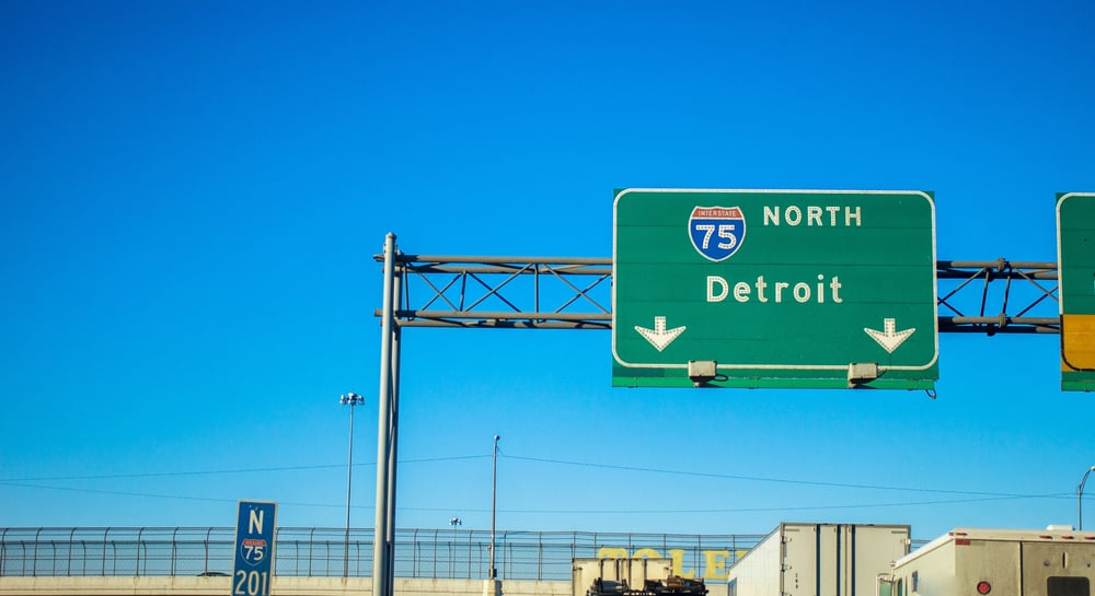
Interstate travel meant paying attention to mile markers and exit numbers, which became crucial reference points. Experienced drivers learned to estimate distances and travel times based on these markers.
Exit numbers weren’t just suggestions — they were essential navigation tools that helped you track progress.
Studied Routes Before Departing

Trip planning involved serious map study sessions before hitting the road. People would trace their entire journey, identify alternative routes, and mark potential stops along the way.
This preparation time meant fewer surprises during actual travel, though it also meant less spontaneity.
Like Go2Tutors’s content? Follow us on MSN.
Bought Regional Travel Guides

Bookstores sold detailed travel guides for specific regions, complete with fold-out maps and recommended routes. These guides included local knowledge about scenic drives, road conditions, and must-see stops.
Many travelers collected these guides for different areas, building personal libraries of navigation resources.
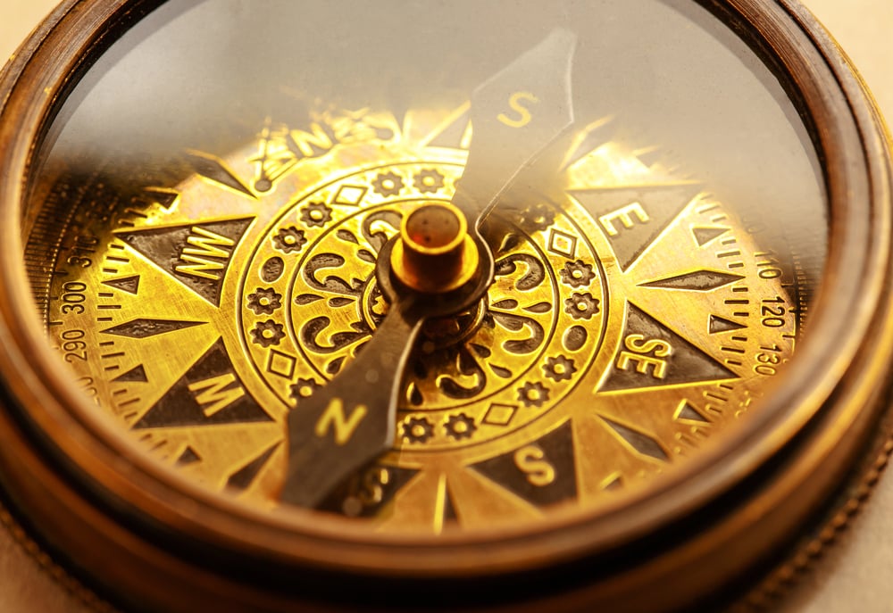
Developed Strong Directional Instincts

Without constant GPS guidance, people actually developed better natural navigation skills. They learned to pay attention to sun position, mountain ranges, and other geographic markers.
City dwellers became experts at using grid systems and understanding how neighborhoods connected to each other.
Used Gas Station Maps

Every gas station had free state and regional maps available at the counter. These became essential travel tools, especially during road trips through unfamiliar territory.
Smart travelers would grab maps for their destination state and any states they’d pass through along the way.
Like Go2Tutors’s content? Follow us on MSN.
Followed Detailed Written Instructions

Handwritten directions were common — friends would write out turn-by-turn instructions on index cards or notebook paper. These homemade navigation guides often included personal touches like ‘don’t turn at the first McDonald’s, wait for the second one.’
People treasured good direction-givers and remembered who gave the clearest guidance.
Stopped at Visitor Centers

Highway rest areas and visitor centers served as navigation hubs where travelers could get local maps and ask for route advice. Staff members were usually locals who knew alternative routes and current road conditions.
These stops were social experiences where travelers shared information with each other.
Paid Attention to Street Signs

Without GPS announcements, drivers had to actively watch for street signs and exit markers. This required more focused attention while driving, but it also meant people became more aware of their surroundings.
Everyone developed the skill of quickly spotting and reading signs while maintaining safe driving.
Like Go2Tutors’s content? Follow us on MSN.
Carried Multiple Navigation Tools

Smart travelers never relied on just one navigation method — they’d carry paper maps, written directions, and maybe a compass for backup. This redundancy meant that if one system failed, alternatives were always available.
Glove compartments were navigation command centers filled with various maps and instruction sets.
Planned Scenic and Logical Routes
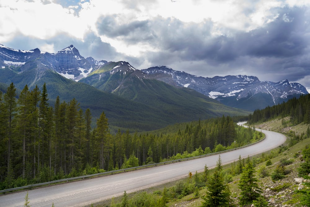
Without GPS optimization, people often chose routes based on scenery or simplicity rather than pure efficiency. This led to more interesting journeys and accidental discoveries of cool places along the way.
The focus was often on the journey itself, not just reaching the destination as quickly as possible.
How Navigation Shaped Our World
These pre-GPS navigation methods created a different relationship with geography and travel. People developed stronger spatial awareness, better memory skills, and more meaningful connections with the places they visited.
While modern GPS technology has made travel incredibly convenient and efficient, something was lost in the transition — the satisfaction of successfully navigating through skill and preparation, the social interactions that came from asking for help, and the sense of adventure that came from not knowing exactly what lay around the next corner.
Today’s instant navigation has eliminated most travel anxiety, but it’s also removed much of the personal growth that came from figuring things out the hard way.
More from Go2Tutors!

- 16 Historical Figures Who Were Nothing Like You Think
- 12 Things Sold in the 80s That Are Now Illegal
- 15 VHS Tapes That Could Be Worth Thousands
- 17 Historical “What Ifs” That Would Have Changed Everything
- 18 TV Shows That Vanished Without a Finale
Like Go2Tutors’s content? Follow us on MSN.