18 Ancient Navigation Secrets That Modern Sailors Still Use
Long before GPS satellites orbited Earth or compasses pointed north, ancient mariners crossed vast oceans using techniques that seem almost magical today. These skilled navigators developed methods so effective that modern sailors still rely on many of them, even in our digital age.
Here is a list of 18 ancient navigation secrets that continue to guide sailors across the world’s waters today.
Dead Reckoning
Dead reckoning involves calculating your current position based on your last known location, speed, direction, and time traveled. Ancient sailors would drop a log line with knots at regular intervals to measure speed, then use simple math to estimate their position.
Today’s sailors still use this fundamental technique as a backup when electronic systems fail, proving that sometimes the old ways are the most reliable.
Celestial Navigation
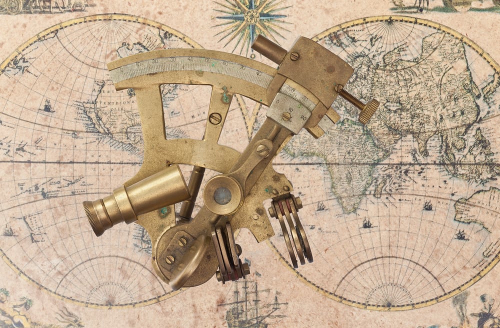
The stars served as the original GPS system for ancient mariners who learned to read the night sky like a map. By measuring the angle of specific stars above the horizon using tools like the astrolabe or sextant, sailors could determine their latitude with remarkable accuracy.
Modern sailors continue to study celestial navigation as an essential skill, especially for long-distance ocean voyages where electronic systems might malfunction.
Like Go2Tutors’s content? Follow us on MSN.
Wind Pattern Recognition

Ancient sailors became masters at reading wind patterns, understanding how air moves around landmasses, pressure systems, and seasonal changes. They knew that certain winds blow consistently in specific regions at particular times of year, like the trade winds that helped European explorers reach the Americas. .
Contemporary sailors still study these same wind patterns to plan efficient routes and avoid dangerous weather conditions.
Wave Reading
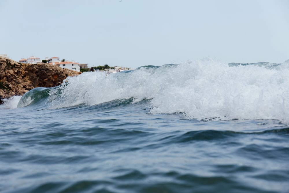
Pacific Island navigators developed an extraordinary ability to read ocean swells and wave patterns to determine direction and proximity to land. They could feel subtle changes in wave height and direction that indicated nearby islands or reefs, even when land wasn’t visible.
Modern sailors are rediscovering these wave-reading techniques, finding them invaluable for navigation in areas where electronic charts might be unreliable.
Bird Behavior Interpretation

Seabirds served as living compasses for ancient mariners who observed their flight patterns to locate land. Different species fly specific distances from shore, so spotting certain birds meant land was within a predictable range.
Today’s sailors still watch for bird behavior changes that signal approaching weather systems or nearby coastlines, especially in remote areas where other navigation aids are scarce.
Like Go2Tutors’s content? Follow us on MSN.
Cloud Formation Analysis

Ancient navigators learned to read clouds like road signs, understanding how different formations indicated land, weather patterns, or wind changes. Clouds often form differently over land versus water, creating distinctive patterns that experienced sailors could interpret from miles away.
Modern mariners continue using cloud reading techniques to predict weather changes and identify distant land masses before they appear on the horizon.
Water Color Changes

Experienced ancient sailors could determine depth and bottom composition by observing subtle changes in water color and clarity. Shallow areas appear lighter, while deep water looks darker, and different bottom materials create distinctive color variations.
Contemporary sailors still use water color as a navigation tool, especially in tropical waters where coral reefs and shallow banks create obvious color changes that warn of dangerous conditions.
Smell and Sound Navigation
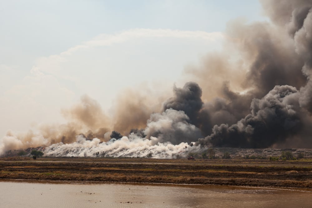
Ancient mariners developed heightened senses that allowed them to detect land by smell or sound long before seeing it. They could identify different types of vegetation, smoke from fires, or even the distinctive smell of certain coastlines carried on the wind.
Modern sailors continue to rely on these sensory navigation techniques, especially in fog or darkness when visual references disappear.
Like Go2Tutors’s content? Follow us on MSN.
Magnetic Declination Correction
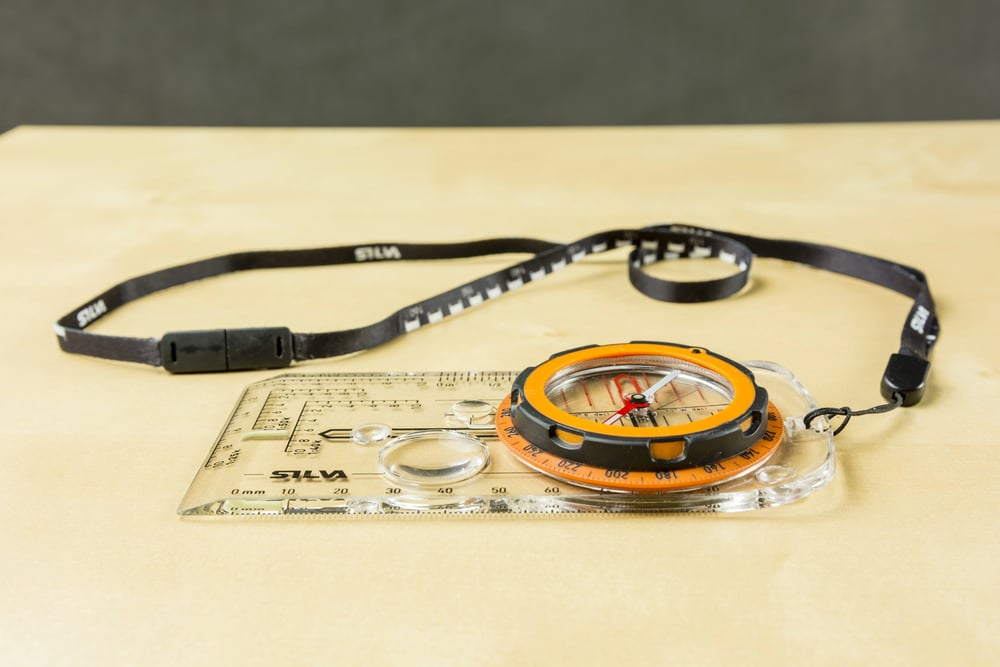
Ancient Chinese navigators discovered that magnetic north doesn’t align with true north, varying by location and changing over time. They developed methods to correct for this magnetic declination, ensuring accurate compass readings for navigation.
Today’s sailors must still account for magnetic declination when using compasses, applying the same correction principles developed centuries ago.
Tidal Calculations

Ancient coastal navigators became experts at predicting tidal changes, understanding how moon phases and geographic features affected water levels. They knew that tides follow predictable patterns but vary significantly between locations, requiring local knowledge for safe navigation.
Modern sailors still use tidal calculations for passage planning, especially when navigating shallow waters or entering harbors where timing is crucial.
Landmark Triangulation

Ancient navigators used triangulation techniques, taking bearings on multiple visible landmarks to determine their exact position. By drawing lines from known points on a chart, they could find where these lines intersected to pinpoint their location.
Contemporary sailors continue using this same triangulation method as a backup to electronic navigation systems, particularly in coastal waters with numerous identifiable landmarks.
Like Go2Tutors’s content? Follow us on MSN.
Weather Pattern Prediction

Ancient sailors developed sophisticated understanding of weather patterns, learning to predict storms, wind changes, and seasonal variations. They observed cloud formations, wind direction changes, and atmospheric pressure variations to forecast conditions days in advance.
Modern sailors still rely on these traditional weather prediction methods, especially when electronic forecasting systems aren’t available or when local conditions differ from general predictions.
Depth Sounding
Ancient mariners used lead lines with weights to measure water depth and determine bottom composition. They would drop these lines regularly to avoid running aground and to navigate safely through shallow areas.
Today’s sailors continue using depth sounders that work on the same basic principle, though electronic systems have replaced the physical lead lines used by earlier navigators.
Current Reading

Ancient navigators learned to read ocean currents by observing surface patterns, debris movement, and water temperature changes. They understood how currents affect vessel speed and direction, using this knowledge to plan efficient routes or avoid dangerous areas.
Modern sailors still study current patterns extensively, using the same observational techniques combined with modern current charts to optimize their navigation.
Like Go2Tutors’s content? Follow us on MSN.
Latitude Sailing

Ancient navigators developed latitude sailing techniques, traveling along lines of constant latitude to reach specific destinations. They would sail north or south to reach the desired latitude, then sail east or west along that line until reaching their destination.
Contemporary sailors still use latitude sailing for long-distance ocean passages, finding it particularly useful when navigating between widely separated landmasses.
Pilotage Techniques
Ancient coastal navigators developed detailed local knowledge of specific areas, memorizing landmarks, hazards, and safe passages. This pilotage knowledge was passed down through generations, creating detailed mental maps of complex waterways.
Modern sailors continue practicing pilotage techniques, especially in areas where electronic charts might be inaccurate or where local knowledge provides crucial safety information.
Storm Avoidance
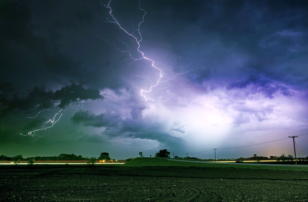
Ancient mariners learned to recognize approaching storms through subtle environmental changes like unusual cloud formations, wind shifts, or animal behavior. They developed strategies for avoiding dangerous weather or finding safe shelter when storms couldn’t be avoided.
Today’s sailors still use many of these traditional storm recognition techniques, combining them with modern weather forecasting for comprehensive storm avoidance planning.
Like Go2Tutors’s content? Follow us on MSN.
Coastal Navigation

Ancient navigators developed sophisticated coastal navigation techniques, using shoreline features, water depth changes, and local conditions to navigate safely near land. They learned to identify dangerous areas and find safe harbors using visual references and local knowledge.
Modern sailors continue using these same coastal navigation principles, especially in areas where electronic charts might not capture recent changes or local hazards.
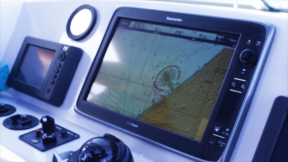
Timeless Skills for Modern Waters
These ancient navigation techniques remain relevant because they’re based on fundamental principles that don’t change with technology. While GPS and electronic systems provide incredible accuracy and convenience, they can fail when you need them most.
The ancient mariners who developed these methods had to be right every time, or they wouldn’t survive to pass on their knowledge. Modern sailors who master these traditional skills gain confidence and capability that no electronic device can provide, connecting them to centuries of maritime wisdom while ensuring they can navigate safely regardless of what technology might fail.
More from Go2Tutors!

- 16 Historical Figures Who Were Nothing Like You Think
- 12 Things Sold in the 80s That Are Now Illegal
- 15 VHS Tapes That Could Be Worth Thousands
- 17 Historical “What Ifs” That Would Have Changed Everything
- 18 TV Shows That Vanished Without a Finale
Like Go2Tutors’s content? Follow us on MSN.