27 Maps That Were Secretly Altered to Mislead Enemies During Wartime
A map is not a neutral document. It is a representation of the world made by someone, for a reason, at a particular moment — and in wartime, the reason was often to make the enemy believe something that wasn’t true.
From ancient armies misdirecting their opponents across terrain they’d never navigated, to Soviet cartographers systematically distorting the street plans of their own cities for fifty years, the falsification of geographic information has a long and surprisingly sophisticated history. What follows is a survey of specific instances where maps were altered, fabricated, omitted, or deliberately degraded to serve military or political purposes — and the effects those manipulations had on the people who trusted them.
The Soviet Civilian Map Programme, 1930s–1988
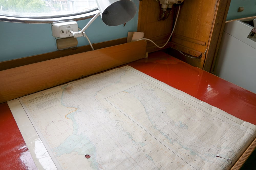
From the 1930s onwards, nearly every publicly available map of the Soviet Union was deliberately falsified. Soviet cartographer Viktor Yashchenko, speaking in 1988, confirmed what Western analysts had suspected: roads and rivers were moved, city districts were tilted, and streets and houses were incorrectly placed.
Only the rough outline of the country was accurate on tourist maps of Moscow. The goal, according to Russian cartographic historian Alexey Postnikov, was to make it impossible to reconstruct real geography from the published map. It succeeded in confusing ordinary Soviet citizens at least as thoroughly as any foreign intelligence service.
The Soviet Coordinate-Shifting Programme, 1958
In 1958, the Soviet Union began a systematic programme of shifting geographic coordinate lines on all unclassified maps they produced or released. A 1977 CIA internal assessment titled Soviet Map Distortion Policy documented the practice in detail.
Rivers, railroads, and towns were displaced by up to 25 miles in some cases. Even small-scale maps covering entire regions were distorted. The programme continued until the late 1980s, when glasnost-era press criticism forced official acknowledgement.
Operation Fortitude South, 1944
Operation Fortitude South was the Allied plan to convince Germany that the D-Day invasion would land at the Pas-de-Calais rather than Normandy. The operation included the creation of a fictitious army — the First United States Army Group (FUSAG) — with thousands of inflatable rubber tanks and aircraft positioned across East Anglia where German reconnaissance planes would see them.
Farm fields were converted into realistic-looking encampments. The deception required German maps to show the wrong army in the wrong place, and it worked: German forces held back their reserves at Calais for weeks after the real landings began.
Operation Fortitude North, 1944
The northern counterpart to Fortitude South aimed to convince Germany that an Allied invasion of Norway was imminent from Scotland. Because German reconnaissance aircraft were unlikely to reach Scotland unintercepted, the deception relied on false radio traffic and double agents reporting nonexistent troop arrivals.
By late spring 1944, Hitler had committed thirteen divisions to Norway — troops that could not be redirected to Normandy. A fictional British Fourth Army was headquartered at Edinburgh Castle and maintained through broadcast announcements and manufactured local news.
The Ghost Army’s Dummy Infrastructure
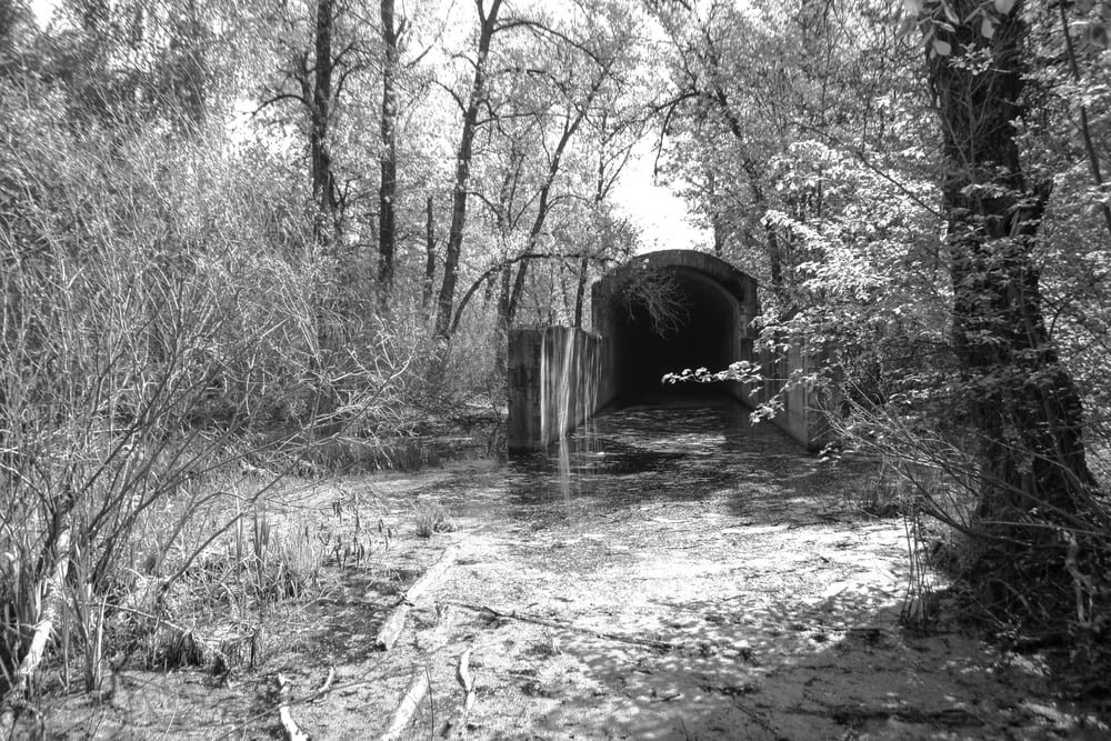
The 23rd Headquarters Special Troops — known as the Ghost Army — was an American unit of artists, designers, and engineers who constructed fake military positions across Europe. Inflatable tanks could be erected in minutes.
Fake airfields were assembled from canvas and painted wood. Sound trucks broadcast the noise of tank columns and aircraft engines across empty fields. The purpose was always the same: to make enemy maps show a force that wasn’t there, or a force that was actually somewhere else.
The Removal of Landmarks from British Maps, WW2
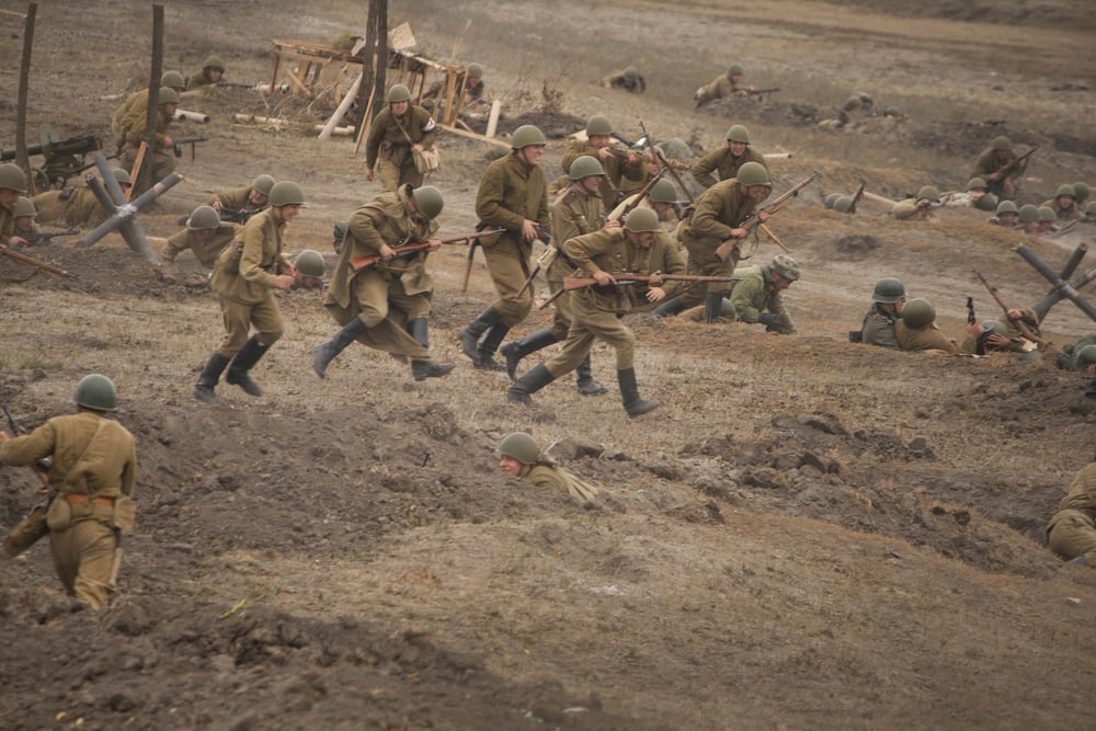
Britain’s Ordnance Survey complied with government wartime requirements to remove or obscure sensitive features from publicly available maps. Airfields, coastal defences, and industrial facilities were omitted from civilian editions.
A secret military coordinate grid — known as the “purple grid” because it was originally printed in purple ink — was maintained separately for operational use. Public maps withheld this grid entirely. The National Archives note that map references in wartime documents often don’t correspond to the civilian Ordnance Survey National Grid for exactly this reason.
The Fake FUSAG Maps Leaked to German Intelligence

Beyond the physical dummy equipment, Operation Fortitude involved feeding falsified order-of-battle information directly to German intelligence. Double agents working for British intelligence delivered fabricated reports on the strength and location of the First US Army Group.
German military maps were updated to show a massive Allied force in southeast England — a force that existed only in the documents British intelligence had provided. The Germans believed these maps sufficiently to make strategic decisions based on them.
Trap Streets: Copyright Traps in Commercial Maps
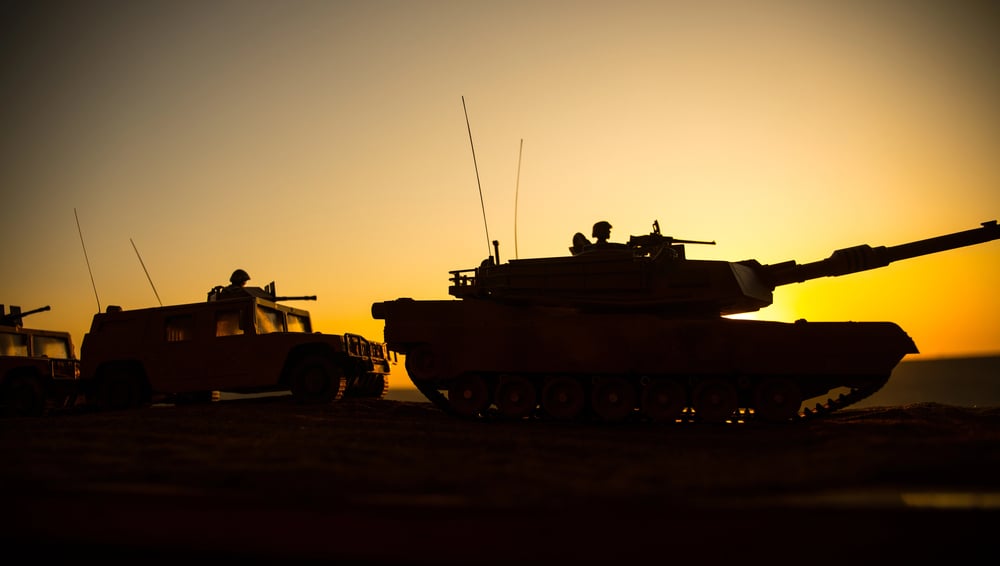
From the mid-twentieth century onward, commercial cartographers began inserting fictitious streets into their maps — roads that didn’t exist, named only in the map and nowhere in reality. These “trap streets” served a copyright-protection function: if a competitor’s map showed the same fictional road, the plagiarism was provable.
The practice became widespread enough that specialist terminology developed around it. A cartographer in Michigan deliberately included two phantom towns on state maps for exactly this reason, and the towns appeared on subsequent maps produced by other publishers who’d copied the original.
Paper Towns: Fictitious Settlements on US Maps
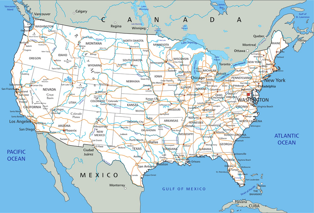
Beyond individual streets, entire fictitious towns were occasionally inserted into American maps. Agloe, New York, was a “paper town” invented by the cartographic company General Drafting to protect their copyright.
It appeared on their maps, was copied by other publishers, and eventually became sufficiently established that a bait store opened there under the name — retroactively making the fictional town real by the time the maps were challenged.
Soviet Secret Cities Omitted From All Maps
Nuclear and military-industrial towns in the Soviet Union were entirely absent from civilian maps. Chelyabinsk-40 — the site of a major nuclear weapons facility — did not appear on Soviet maps available to ordinary citizens or to foreign visitors.
Arzamas-16, the Soviet equivalent of Los Alamos, similarly did not exist cartographically. These cities had populations in the tens of thousands, post offices, schools, and full administrative infrastructure, none of which appeared on any publicly available map.
The Trojan Horse as Geographic Misdirection
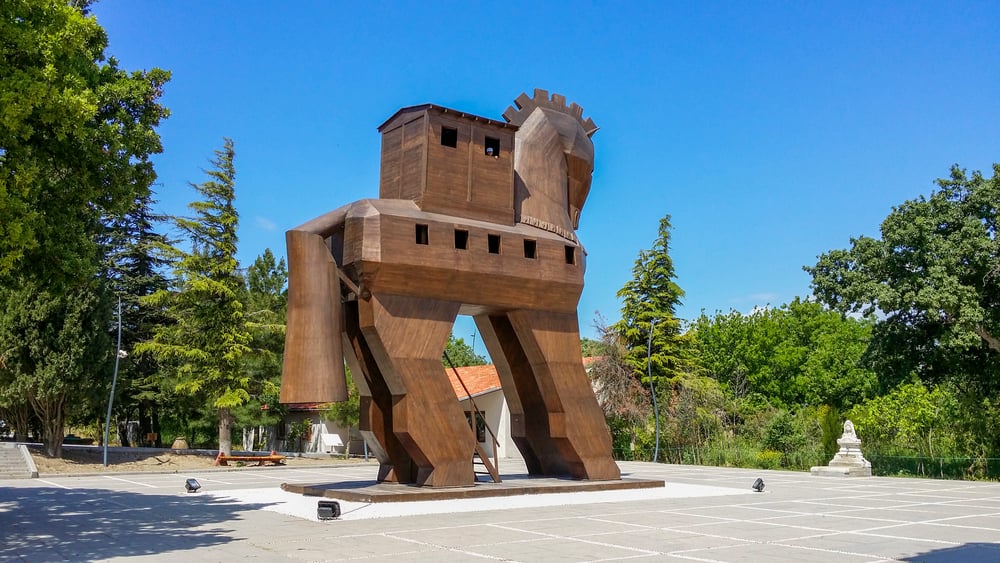
The Trojan Horse story is primarily about deception, but its geographic component deserves acknowledgement: the Greeks had maintained a fictional withdrawal — they appeared to sail away, leaving the horse and a “surrendered” soldier to support the narrative of departure.
The Trojans’ reading of the strategic situation was based on what they could observe, which the Greeks had deliberately altered. Maps, in any era, can only chart what can be verified.
Julius Caesar’s Deceptive Positioning in Gaul, 52 BC
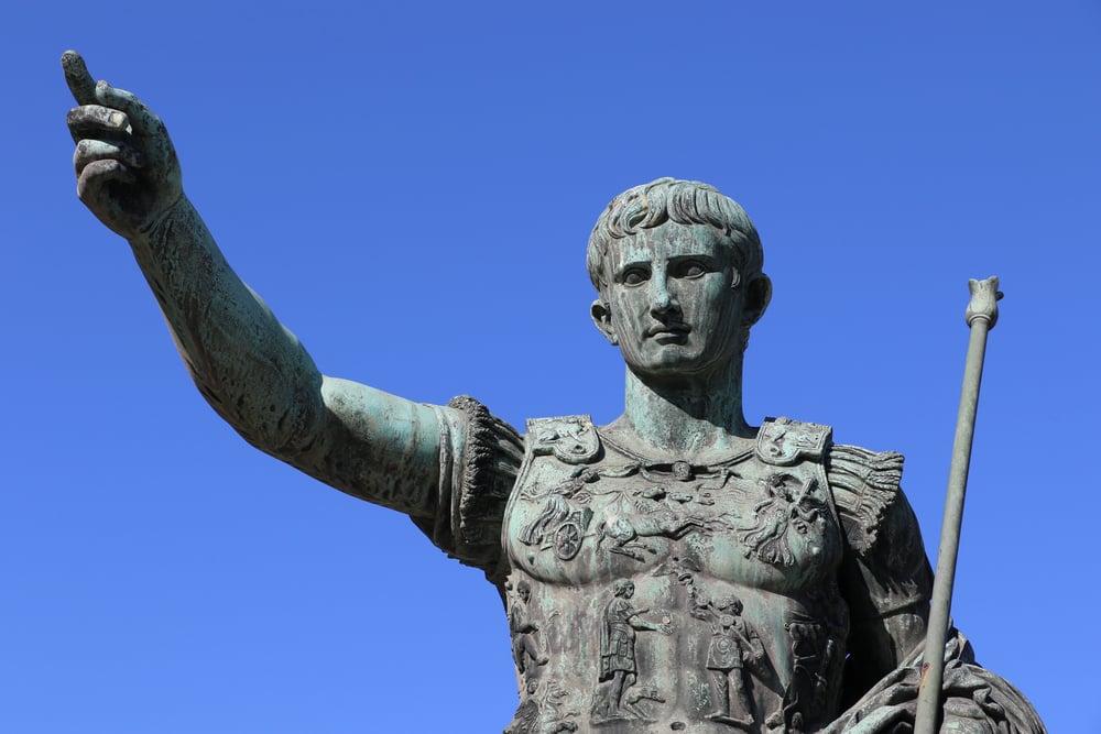
Julius Caesar, in his 52 BC conquest of Gaul, used deceptive positioning to conceal the true direction and strength of his forces from opposing commanders. The broad principle — of ensuring that the enemy’s understanding of where your forces are is wrong — is the same whether the medium is a papyrus map, a wax tablet, or an encrypted military chart.
The Misdirection of Hannibal’s Opponents at Lake Trasimene, 217 BC
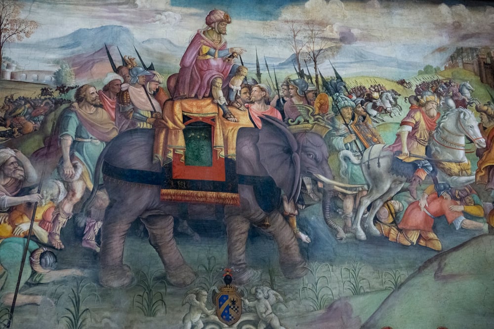
Hannibal’s victory at Lake Trasimene resulted from a carefully structured geographic ambush. He selected the terrain himself — a narrow passage along the northern shore of the lake — and positioned his forces in the hills and forests surrounding it.
The Roman army pursuing him had no accurate picture of what the terrain concealed. The lake provided one boundary, the hills provided the other, and the Romans marched into a space whose geography had already decided the outcome. Correct maps of what was waiting in those hills would have changed the battle.
Hannibal’s Feigned Retreat at Cannae, 216 BC
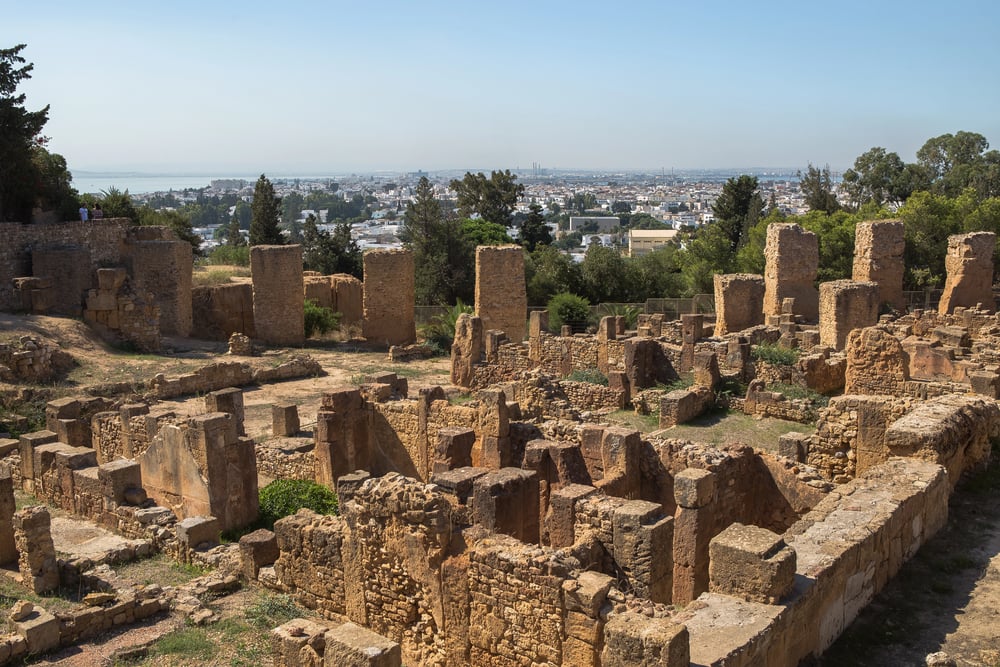
At the Battle of Cannae, Hannibal deployed his troops in a line that appeared straight from the Roman perspective but was actually bowed outward in the centre. When the Romans advanced and pushed that centre back, the line became concave, enveloping them from three sides.
The Romans were reading the battlefield incorrectly — seeing a line they could break through when they were actually walking into a closing shape. Understanding terrain and formation in real time is what maps attempt to fix in advance. Hannibal made sure the enemy’s picture was wrong.
Portuguese Cartographic Secrecy During the Age of Discovery

During the Age of Exploration, Portuguese navigators and cartographers guarded accurate coastal charts as state secrets of the highest order. The Portolan charts mapping African and Brazilian coastlines were classified documents, and cartographers who leaked them could face execution.
False or degraded charts were circulated to competitors to protect Portuguese trading routes. Accurate geographic knowledge was, in the fifteenth and sixteenth centuries, the most valuable military and commercial asset a state could possess.
The British Removal of Strategic Roads from Wartime Signage
A related but distinct form of geographic denial: in 1940, Britain removed road signs across the country to impede the navigation of any invading German force. Maps continued to show roads, but their usefulness was degraded without the on-the-ground reference system the signs provided.
The implication was that accurate maps in enemy hands would be partially neutralised if the terrain itself removed its identifying markers.
Nazi Germany’s Falsified Maps of Occupied Territories
Nazi German administrative maps of occupied Europe consistently reflected political claims rather than geographic reality — showing Alsace-Lorraine, the Sudetenland, and the annexed Polish territories as though they were historical German regions rather than occupied states.
These maps were produced for internal propaganda and external communication alike, presenting a geographic picture that supported territorial claims rather than depicting what pre-war cartography had established.
The CIA’s Adversarial Map Projections of the Soviet Union
Post-World War II American cartographers modified map projections to make the Soviet Union appear larger and more immediately threatening. A 1952 map by Robert Chapin, published in Time magazine, showed Europe from a perspective that made the Soviet Union appear to loom downward over the continent — the visual effect of tanks rolling downhill.
The projection was technically accurate as a projection, but the choice of viewpoint was a deliberate manipulation of geographic impression.
Japan’s Cartographic Claims Over Disputed Islands
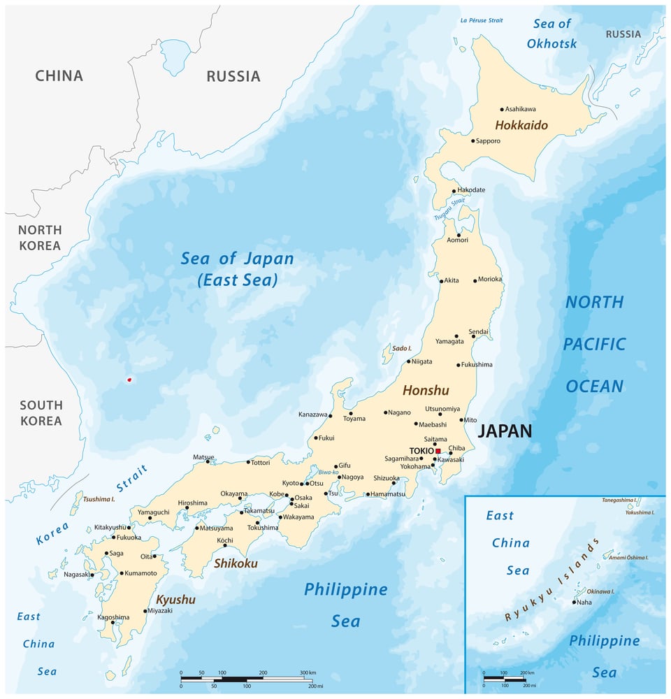
Japanese wartime maps consistently depicted islands in the East and South China Seas as Japanese territory during the Pacific War, regardless of contested sovereignty claims. The maps preceded the reality they depicted, functioning as instruments of territorial claim-staking rather than neutral geographic records.
The relationship between maps and territorial assertion is not limited to wartime — it continues in diplomatic disputes today — but wartime provides the most dramatic examples of maps doing political work.
The Soviet Mapping of Western Cities Down to Building Height
While falsifying their own maps, the Soviet Union maintained a clandestine programme of extraordinary accuracy for foreign territory. From 1950 to 1990, the Soviet Army produced detailed maps of cities across the Western world — including street-level plans of New York, London, and Gainsborough, Lincolnshire.
These included bridge load capacities, building heights, road widths, and harbour depths. Published by John Davies and Alexander J. Kent as The Red Atlas in 2017, these maps revealed that Soviet planners knew more about Western cities than the Western public did. The asymmetry was total: accurate maps of everywhere else, falsified maps of home.
The Deception Maps of Operation Mincemeat, 1943

Operation Mincemeat was a British deception operation in which the body of a fabricated British officer — “Major William Martin” — was placed in the sea off the Spanish coast carrying false documents suggesting the Allied invasion of southern Europe would target Sardinia and Greece rather than Sicily. The documents described military plans.
The Germans adjusted their map of Allied intentions accordingly, reinforcing Sardinia and Greece. The real landings came in Sicily. The deception worked partly because the maps and documents were so convincingly detailed.
The Fictional Invasion Army That Changed D-Day
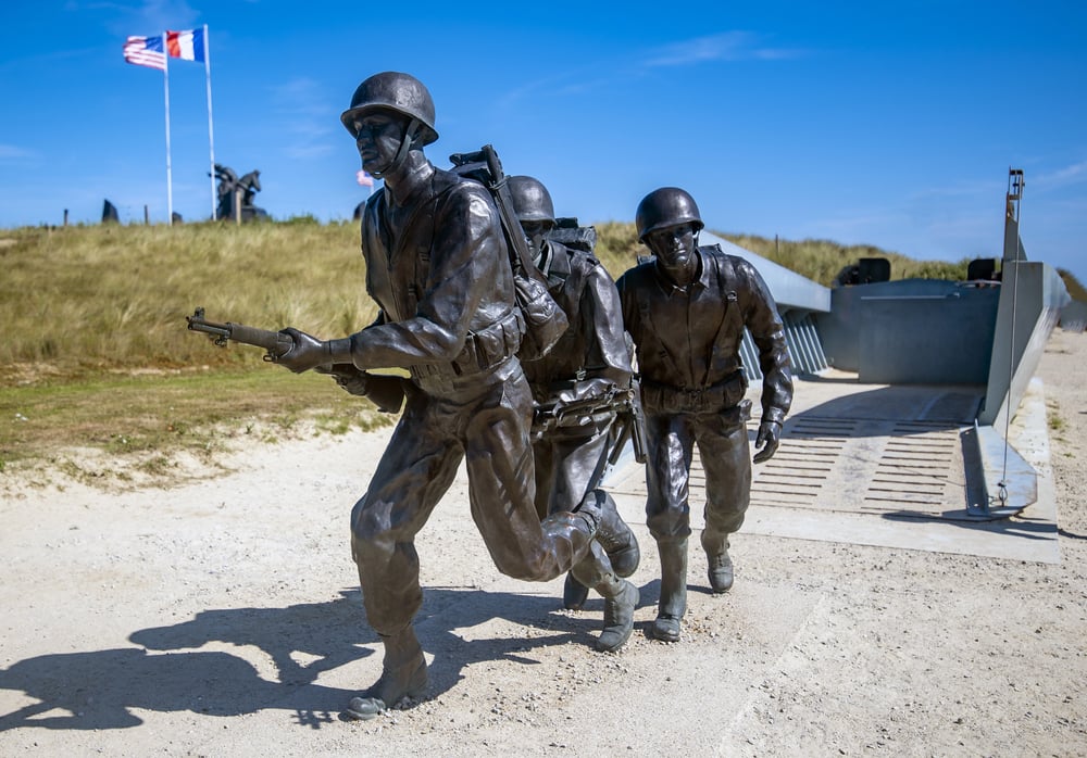
The complete picture of D-Day deception involves what the Germans were not told as much as what they were told. Real Allied units were moved away from southeast England where they would suggest a Calais operation.
The order-of-battle maps the Germans maintained showed not just a fake army but a fake army that appeared more powerful than the real force assembling in the southwest. The entire geographic picture the German command was working from on June 6, 1944 was wrong in almost every critical dimension.
Chinese Cartographic Claims Over Indian Territory, 1950s Onward
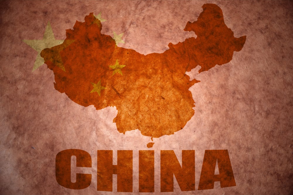
From the early 1950s, Chinese maps began depicting large areas of Indian territory — including parts of what is now Arunachal Pradesh and Aksai Chin — as Chinese sovereign territory. The Indian government initially dismissed these maps as navigable misunderstandings.
The 1962 Sino-Indian War suggested they were something more deliberate. Cartographic assertion preceded and shaped physical occupation in ways that retrospective analysis of the maps makes clear.
Google Earth and Modern Requests for Cartographic Censorship

In the modern era, national governments regularly request that mapping services including Google Earth blur, omit, or degrade imagery of sensitive military and infrastructure sites. These requests represent the continuation of the same basic principle that has governed cartographic censorship for centuries: that a map is only as useful as what it shows, and that controlling what it shows is a form of power.
Some countries have their own classified cartographic programmes that are not available to the public.
The Soviet Army’s Classified Domestic Maps
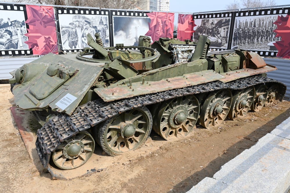
The accurate maps of Soviet territory existed. They were simply not available to anyone without the appropriate security clearance, which in practice meant almost no one.
Soviet scientists working in fields that required geographic precision were given access to scaled-down or restricted versions of classified maps, not the full military survey. The dual-reality system — one map for the state, another for the citizen — was maintained for decades and acknowledged publicly only in 1988.
The Paper Town of Beatosu, Michigan
Two paper towns on Michigan state maps — Beatosu and Goblu — were inserted by a cartographer in the early 1970s. The names were references to a football rivalry.
They served their copyright-protection function and appeared on subsequent maps produced by publishers who had copied the originals without verifying the locations. Their eventual discovery prompted discussion about how thoroughly copied material can inherit its source’s errors.
The Age of Satellite Imagery and What Changed

The age of satellite mapping has not ended cartographic deception — it has changed its terrain. Satellite imagery is now more widely available than at any point in history, but the response has been a more sophisticated form of the same old problem: obscuring, mislabeling, or delaying the release of imagery of sensitive sites.
The impulse to control what the map shows is as old as the map itself. What has changed is the speed at which discrepancies between official cartography and observable reality can now be exposed.
The Enduring Principle
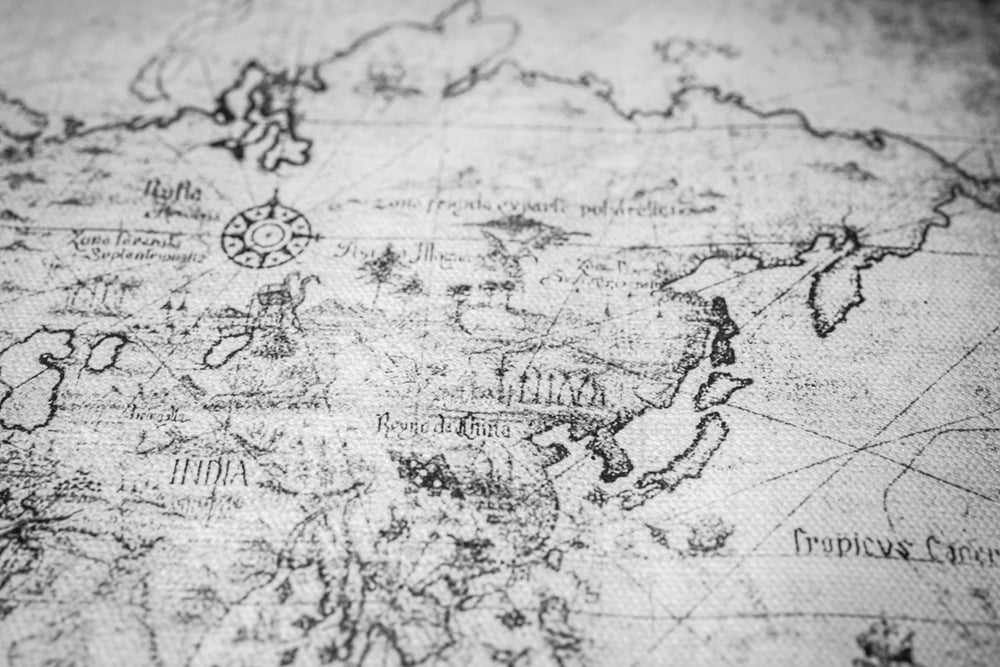
What connects a Soviet tourist map of Moscow with a rubber tank in a field in East Anglia and a paper town in Michigan is the same fundamental understanding: that people act on the basis of what they believe the world looks like, not what it actually looks like. Maps are the most direct instrument for shaping that belief.
Altering a map doesn’t change geography — it changes what someone thinks geography is, which in a military context is often enough to change the outcome entirely. The most consequential maps in history were not necessarily the most accurate ones. Some of the most consequential were the ones someone knew were wrong and everyone else trusted.
More from Go2Tutors!

- The Romanov Crown Jewels and Their Tragic Fate
- 13 Historical Mysteries That Science Still Can’t Solve
- Famous Hoaxes That Fooled the World for Years
- 15 Child Stars with Tragic Adult Lives
- 16 Famous Jewelry Pieces in History
Like Go2Tutors’s content? Follow us on MSN.