27 Trade Routes That Shaped the Wealth of Entire Empires
Before motorways, container ships, and freight networks, a handful of overland paths and sea lanes did almost everything. They moved the commodities that built cities, funded wars, spread religions, and determined which empires grew fat and which ones faded.
Some of these routes ran for thousands of kilometres across deserts, oceans, and mountain ranges that the people using them barely understood. All of them made someone rich.
What’s striking, looking back across the breadth of ancient and medieval commerce, is how much the world’s political map was determined not by military genius or divine favour but by geography — by whoever happened to sit between where something rare was produced and where it was desperately wanted.
The Silk Road
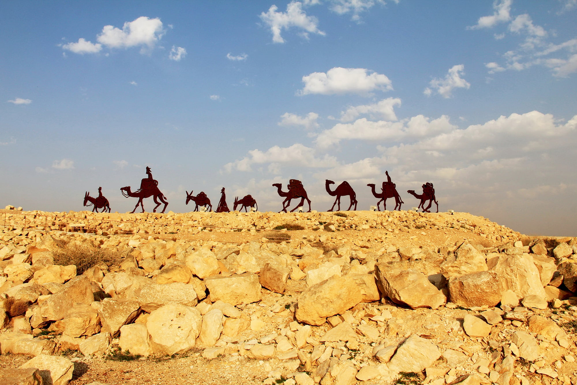
The most famous overland trade network in history was not a single road but a shifting web of interconnected paths stretching roughly 6,400 kilometres from Chang’an in central China to the Mediterranean coast.
Active from around 130 BCE to the fifteenth century CE, it carried silk westward and gold, silver, and glass eastward, but it also moved paper, gunpowder, Buddhism, Islam, the Black Death, and the numeral system that eventually replaced Roman numerals across Europe. No single merchant travelled the full length — goods changed hands dozens of times, with each intermediary taking a cut.
The Spice Routes

Cloves, nutmeg, cinnamon, and pepper from the islands of Southeast Asia were so valuable in medieval Europe that they were used to pay rents, dowries, and fines.
The maritime routes that connected the Spice Islands through the Strait of Malacca, across the Indian Ocean, and up through the Red Sea or Persian Gulf to Mediterranean ports were among the most commercially fought-over lanes in history. Controlling even a single chokepoint along the route meant extraordinary wealth.
The desire to bypass the Arab and Venetian middlemen who dominated this trade drove Portugal, Spain, and later the Dutch and English to fund the entire Age of Exploration.
The Trans-Saharan Gold and Salt Routes

For roughly a thousand years, from the eighth to the seventeenth century, camel caravans crossed the Sahara Desert exchanging West African gold for North African salt in one of the most consequential commodity trades in history.
Salt mined at Taghaza was so scarce in the south that it was reportedly valued weight-for-weight against gold at certain markets.
This imbalance funded successive West African empires — Ghana, Mali, and Songhai — and made their rulers among the wealthiest in the medieval world.
When Mansa Musa of Mali made his pilgrimage to Mecca in 1324, he carried so much gold that his spending spree across Egypt is believed to have caused significant price inflation that lasted more than a decade.
The Indian Ocean Trade Network
Long before Europeans arrived, the Indian Ocean had been a thriving trading zone for Arab, Indian, Swahili, and Chinese merchants who understood how to read the monsoon winds — sailing northeast in summer and southwest in winter.
This seasonal wind pattern effectively created a reliable, annual shipping schedule linking East Africa, Arabia, the Indian subcontinent, and Southeast Asia.
Goods moved along this network included East African ivory, Indian cotton, Chinese porcelain, and Arabian horses.
The network also spread Islam across the entire coastal rim of the Indian Ocean, transforming the religious and cultural character of half a dozen civilisations without a single military campaign.
The Incense Route
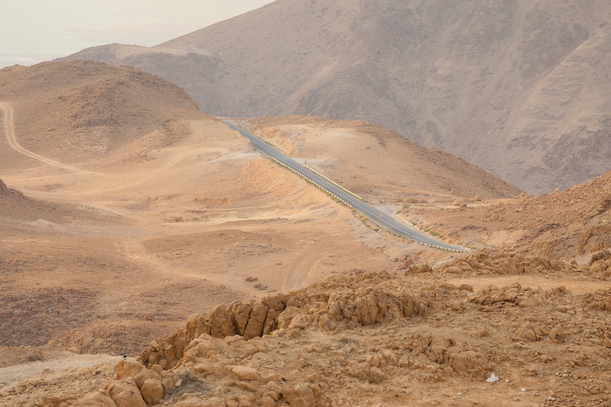
The Arabian Peninsula produced two substances — frankincense and myrrh — that the ancient Mediterranean world burned through in staggering quantities for religious ceremonies, embalming, and medicine.
The land route that carried these resins from Yemen and Oman north through the Hejaz, through Petra in modern Jordan, and on to the Mediterranean ports of Gaza ran for more than 2,000 kilometres and was among the most lucrative trade corridors of the ancient world.
The Nabataean Kingdom, centred on Petra, grew wealthy precisely by controlling key nodes along this route.
At its peak, researchers estimate that roughly 3,000 tonnes of incense moved along this corridor annually.
The Amber Road
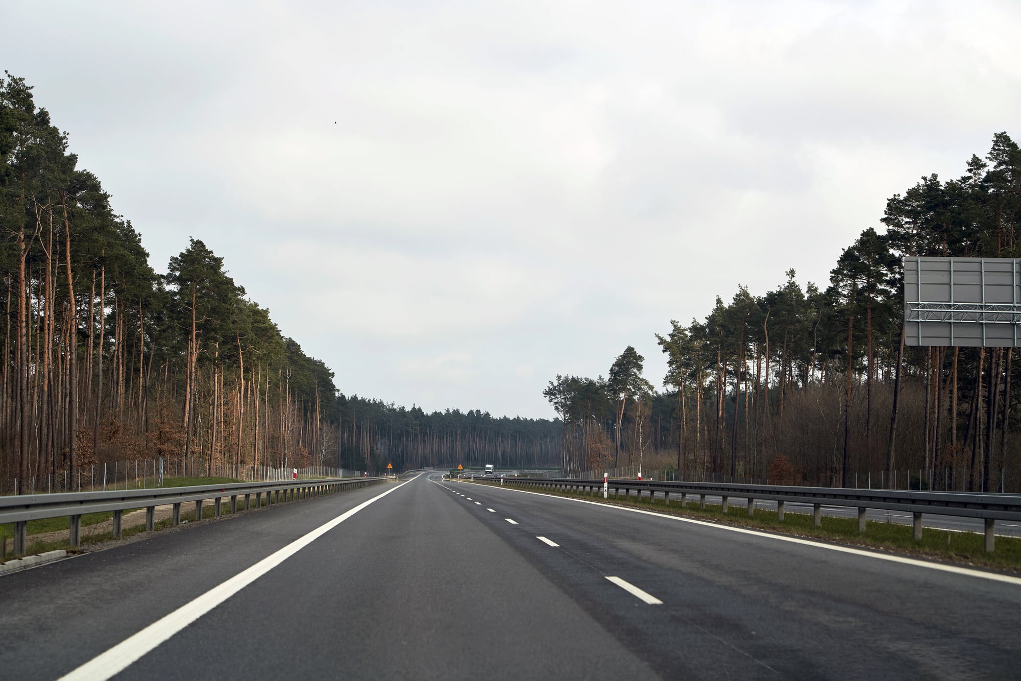
Baltic amber — fossilised tree resin washed up along the coast of what is now Poland, Lithuania, and the Kaliningrad region — was one of the most prized decorative materials of the ancient world, valued for its beauty and credited with medicinal and protective properties.
From the Bronze Age onward, amber moved southward along river valleys through central Europe, eventually reaching the Roman port city of Aquileia on the Adriatic, where it was worked into jewellery and luxury objects for wealthy Romans.
The Roman historian Pliny the Elder wrote that a small amber figurine could command a higher price than a healthy slave.
The Royal Road of the Achaemenid Empire
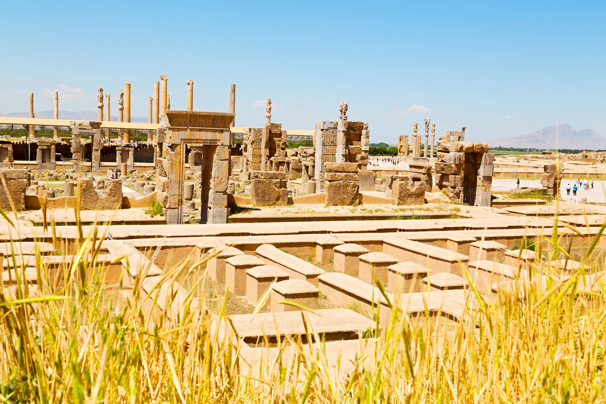
Darius the Great of Persia reorganised and paved an ancient track in the fifth century BCE, creating a road running approximately 2,600 kilometres from Sardis on the Aegean coast to Susa in modern Iran.
The road’s primary purpose was administrative and military — relay stations were placed at regular intervals, allowing royal couriers to cover the entire length in about seven days, compared to the roughly ninety days it took a typical traveller.
By making rapid communication across a sprawling empire possible, it allowed the Achaemenids to govern a territory stretching from Egypt to India in a way that had never previously been achieved.
The Grand Trunk Road
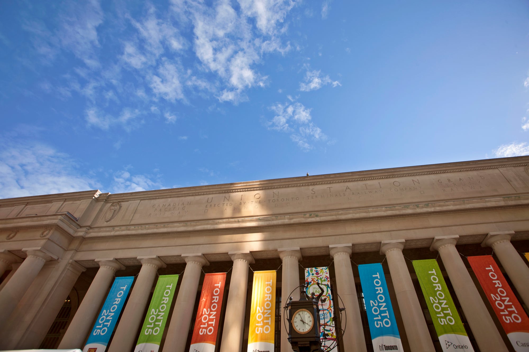
One of the longest and oldest roads in Asia, the Grand Trunk Road stretches roughly 2,400 kilometres from Bengal in the east to the Khyber Pass in the west, linking what is now Bangladesh, India, and
e third century BCE and later consolidated under the Mughal emperor Sher Shah Suri in the sixteenth century, it was the commercial spine of the Indian subcontinent — moving cotton, spices, grain, and armies across the breadth of the land.
Rudyard Kipling called it a river of life.
The Via Appia
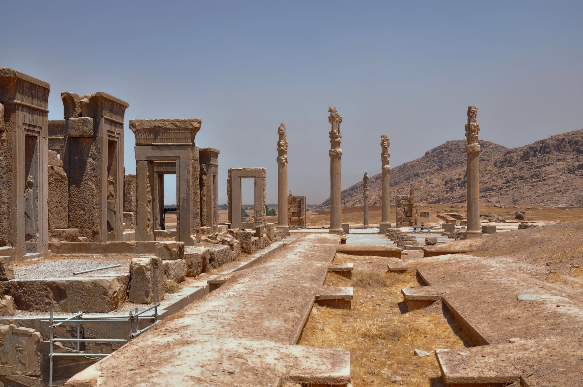
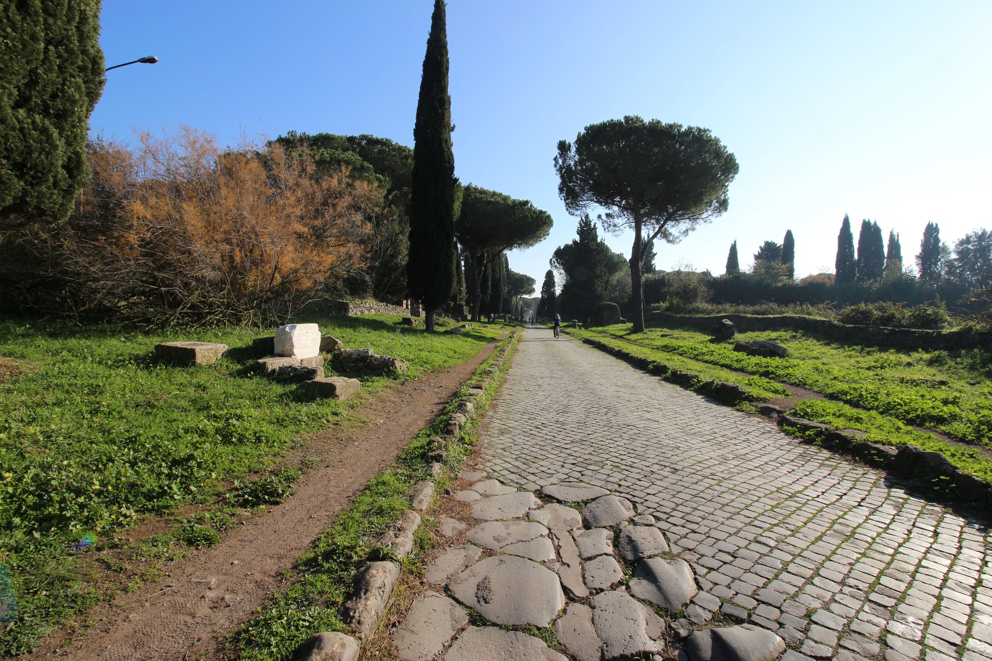
Rome’s first great stone road, begun in 312 BCE and running roughly 563 kilometres south from Rome to Brundisium on the heel of Italy, was the model for the entire Roman road network that eventually covered more than 80,000 kilometres across the empire.
The Via Appia wasn’t primarily a trade route — it was built for military speed — but it became a commercial artery that made the Roman economy function.
Merchants, soldiers, diplomats, and philosophers all used it. The road surface was constructed to last, and sections of the original paving are still walkable today.
The Via Salaria (Salt Road)
Salt was so vital to Roman life — for food preservation, medicine, and even as partial payment to soldiers, which is the origin of the word “salary” — that the road built to carry it from the salt flats near Ostia across Italy to the Adriatic coast became one of the empire’s essential commercial arteries.
The Via Salaria predated Roman civilisation, following paths used by Sabine herders to bring salt inland, and was eventually absorbed into the Roman road network.
Salt’s value shaped settlement patterns, taxation systems, and military logistics across the ancient world.
The Tea Horse Road
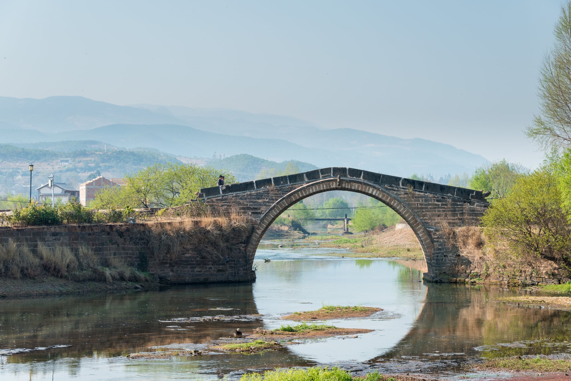
This mountainous network of paths running more than 6,000 kilometres through the Hengduan Mountains of southwest China into Tibet and on to India was among the most physically punishing trade routes ever used.
The exchange at its core was simple: Chinese tea for Tibetan warhorses.
Horses were strategically critical to Chinese dynasties fighting nomadic peoples on their northern borders, while tea was genuinely medicinal in Tibet, where altitude and diet made it a dietary necessity.
During the Song dynasty period from 960 to 1127, researchers estimate that around 20,000 Tibetan horses were traded annually in exchange for approximately 8,000 tonnes of tea.
The Hanseatic Sea Lanes
Between the thirteenth and seventeenth centuries, the Hanseatic League — a commercial and defensive alliance of merchant guilds and market towns — controlled trade across the Baltic and North Sea through a network of maritime routes linking cities including Lübeck, Hamburg, Bruges, Bergen, and London.
The League standardised weights and measures, negotiated collectively with foreign rulers, and enforced trading monopolies through economic and occasionally military pressure.
At its height it controlled the herring trade that fed much of northern Europe during Lent, the timber that built northern European navies, and the grain that fed Scandinavian populations through lean winters.
The Portugal-to-India Maritime Route

When Vasco da Gama rounded the Cape of Good Hope in 1497 and reached the Indian port of Calicut in 1498, he completed the opening of a sea route that permanently restructured global trade.
Until that point, spices and Asian goods had reached Europe through Arab and Venetian intermediaries who extracted enormous markups at every handover.
The new route allowed Portugal to deal directly with producers, and Lisbon briefly became the commercial capital of the European world.
Within two decades, the spice trade that had enriched Venice for centuries had largely relocated to the Atlantic.
The Atlantic Slave Trade Route
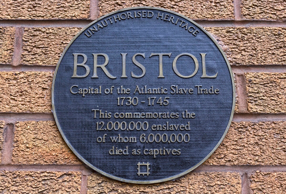
Between the sixteenth and nineteenth centuries, ships sailed a triangular route connecting Europe, West Africa, and the Americas — carrying manufactured goods from European ports to Africa, enslaved people across the Atlantic to the Americas, and colonial commodities back to Europe.
The wealth generated by this system funded the Industrial Revolution, built much of the financial infrastructure of Britain, France, Portugal, and the Netherlands, and shaped the demographics, languages, and economies of the entire Atlantic world.
Its economic legacy — both the wealth created and the poverty enforced — remains a live subject of historical analysis.
The Manila Galleon Route
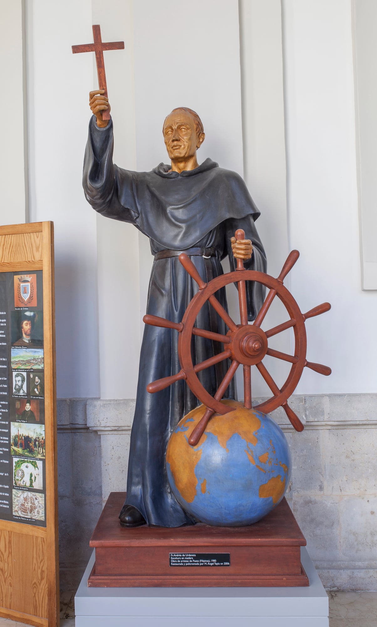
For 250 years, from 1565 to 1815, Spanish galleons made annual crossings between the Philippine port of Manila and Acapulco in Mexico, carrying Chinese silk, porcelain, and spices westward and American silver eastward.
The route exploited the North Pacific trade winds and created the first direct, regularly maintained trading link between Asia and the Americas.
So much American silver flowed into China along this route — eventually reaching it through Manila’s Chinese merchant community — that it is considered one of the primary causes of the rapid monetisation of the late Ming and early Qing economies.
The Venetian Monopoly Routes

For several centuries during the medieval period, Venice controlled access to the eastern Mediterranean trade routes more effectively than any other European power.
Venetian merchants had negotiated privileged trading rights in Byzantine ports, and after the Fourth Crusade in 1204, they controlled key islands and ports that gave them effective dominance over the movement of goods between Europe and the Levant.
The wealth accumulated through this monopoly funded the art, architecture, and political institutions that made Venice one of the most remarkable cities in European history.
The city’s famous glass industry, centred on the island of Murano, was a direct product of trade wealth and the desire to develop premium goods for export.
The Mongol Pax
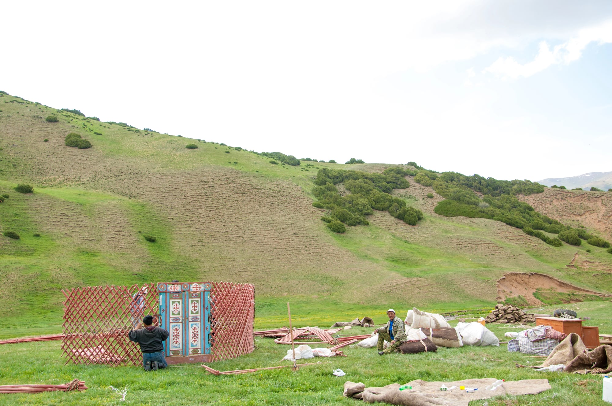
The Mongol conquests of the thirteenth century were devastating to the peoples who resisted them, but they had an unexpected commercial consequence: the vast Mongol Empire, at its height stretching from China to Eastern Europe, provided a single political authority over most of the Silk Road for the first time.
Merchants could travel under Mongol protection with a safe-conduct pass called a paiza.
This period of relative security across the overland routes — sometimes called the Pax Mongolica — saw trade volumes increase significantly and enabled long-distance journeys like those of Marco Polo and the Venetian merchants who preceded him.
The Cape Route and the Dutch East India Company
After the Portuguese pioneered the route around Africa’s southern tip, the Dutch East India Company (VOC) developed it into the most commercially dominant trade operation of the seventeenth century.
The VOC was granted a monopoly by the Dutch government on all trade east of the Cape of Good Hope and west of the Strait of Magellan — effectively the entire Indian Ocean trade.
At its height it operated a fleet of roughly 150 merchant ships, paid dividends to shareholders, maintained its own army and navy, and negotiated treaties with foreign governments.
It was the first company in history to issue publicly traded shares.
The Swahili Coast Trade Network
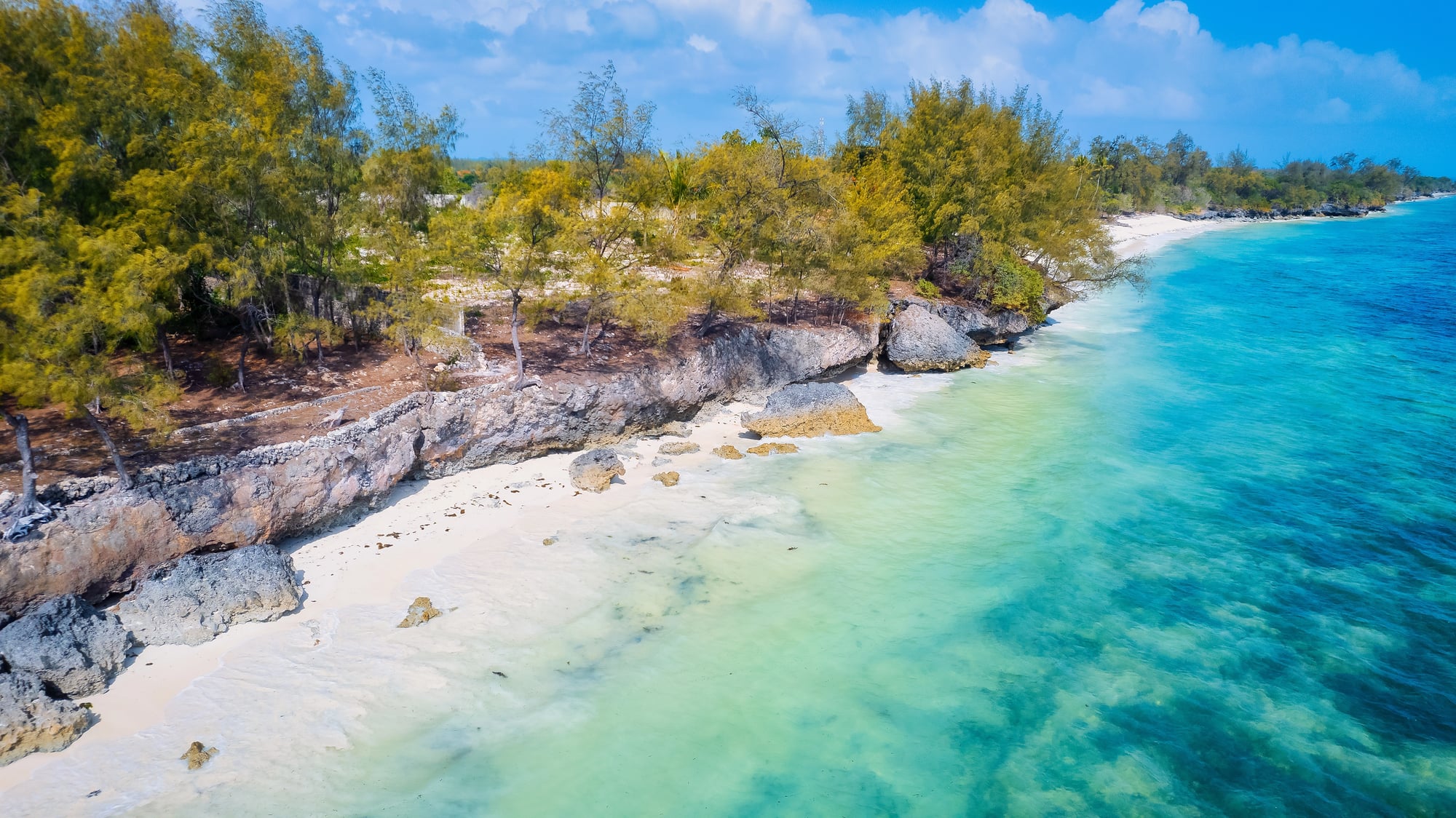
From roughly the eighth to the sixteenth century, a network of city-states along the East African coast — including Kilwa, Mombasa, and Zanzibar — served as the western anchor of the Indian Ocean trade system.
Arab and Indian merchants brought textiles, ceramics, and glass beads; the Swahili city-states provided gold from the interior, ivory, and enslaved people.
The gold of Great Zimbabwe moved to the coast through this network, and the wealth it generated funded the stone architecture of the great Swahili port cities, some of which are now UNESCO World Heritage Sites.
The Amber Route — Baltic to Black Sea

Distinct from the Roman Amber Road, an older route ran from the Baltic coast southward through the river systems of Eastern Europe to the Black Sea and then into the Byzantine and later Islamic worlds.
Viking traders used elements of this network extensively, establishing river trade routes through what is now Russia and Ukraine that connected Scandinavia to Constantinople.
The Varangian routes, as these are sometimes called, were so economically significant that they contributed directly to the formation of the early Rus’ state — the political entity from which modern Russia, Ukraine, and Belarus all trace lineage.
The Cotton Road of the Ottoman Empire
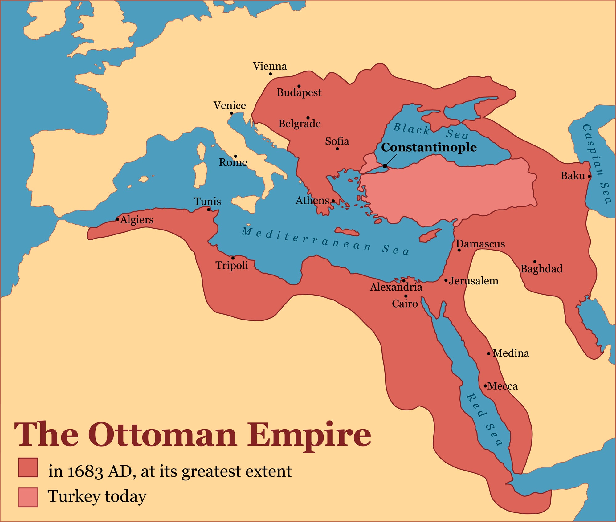
The Ottoman Empire, at its height spanning from Hungary to Yemen and from Algeria to Persia, controlled the land bridges between Europe and Asia and extracted enormous revenue from the commercial traffic passing through its territory.
Ottoman merchants developed extensive trade networks for Anatolian cotton, Egyptian grain, and Yemeni coffee.
The last of these was introduced to European consumers in the seventeenth century through the coffee house culture that spread from Istanbul to Vienna, London, and Paris.
Control of the trade routes connecting the Mediterranean to the Red Sea gave Istanbul commercial leverage over the entire European economy.
The Qhapaq Ñan (Inca Road System)
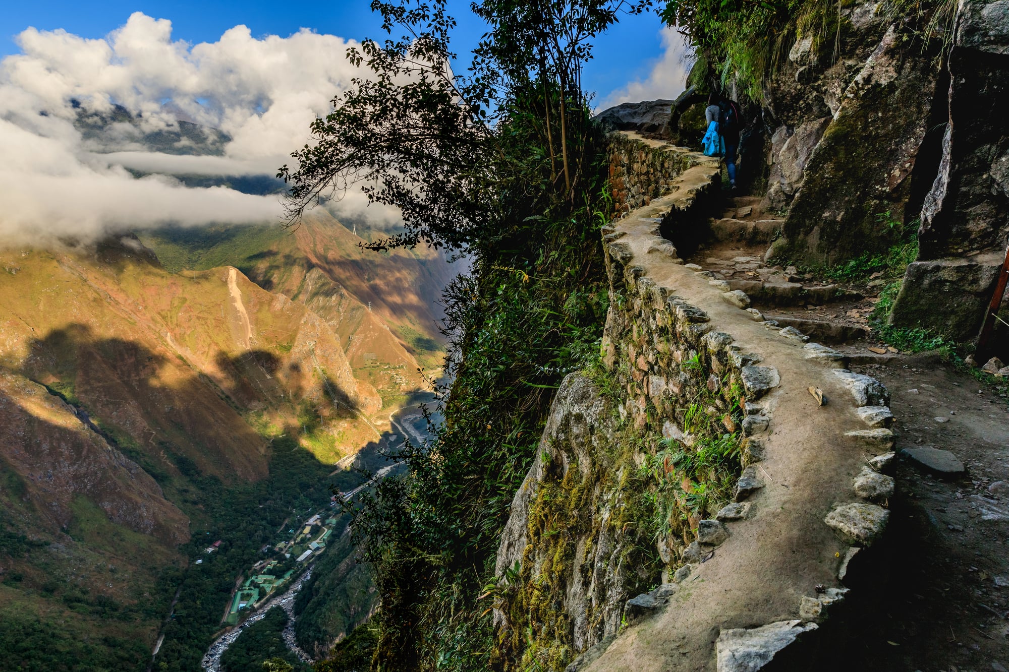
The Inca Empire’s road network extended more than 30,000 kilometres across the Andes, connecting territories from what is now Ecuador to central Chile.
Unlike most of the routes on this list, the Qhapaq Ñan was not primarily a commercial network in the market economy sense — the Inca state operated on a system of labour tribute rather than monetary exchange.
But it functioned as a logistical system for moving goods, armies, information, and administrators across some of the most difficult terrain on Earth.
It did so with a speed and reliability that astonished Spanish observers when they arrived in the sixteenth century.
The West African Kola Nut Routes
Kola nuts — a caffeine-rich stimulant widely consumed across West and North Africa — were traded along a network of routes connecting the forest zones of modern Ghana and Côte d’Ivoire with the Saharan trading cities and North African markets.
The trade predated Islam in the region and became intertwined with it: kola was consumed to suppress hunger and fatigue during fasting and long desert journeys.
Its trade helped integrate the forest societies of the south into the broader commercial world of the Saharan network.
The nuts eventually gave their name to a flavouring used in a carbonated beverage now consumed globally.
The Persian Gulf Trade Routes
Ancient Mesopotamia — the civilisations of Sumer, Akkad, Babylon, and Assyria — was geographically poor in timber, stone, and metal, all of which were necessary for sophisticated construction and toolmaking.
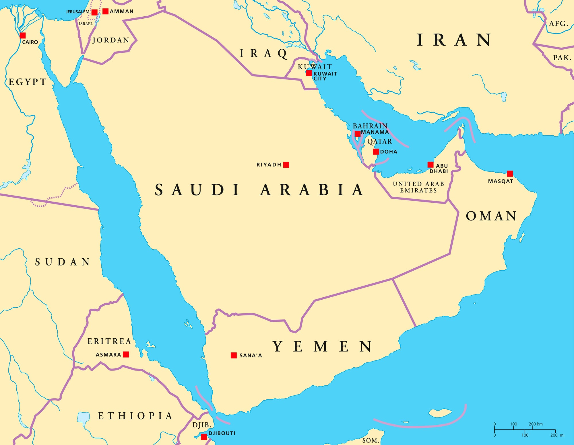
The solution was trade through the Persian Gulf, connecting Mesopotamia with the Indus Valley civilisation to the east, the Arabian Peninsula to the south, and the Levant to the west.
Excavations at Dilmun (modern Bahrain) have identified it as one of the ancient world’s busiest trade entrepôts, processing copper from Oman, cotton from India, and grain from Mesopotamia simultaneously as far back as 2000 BCE.
The Tin Route of the Bronze Age
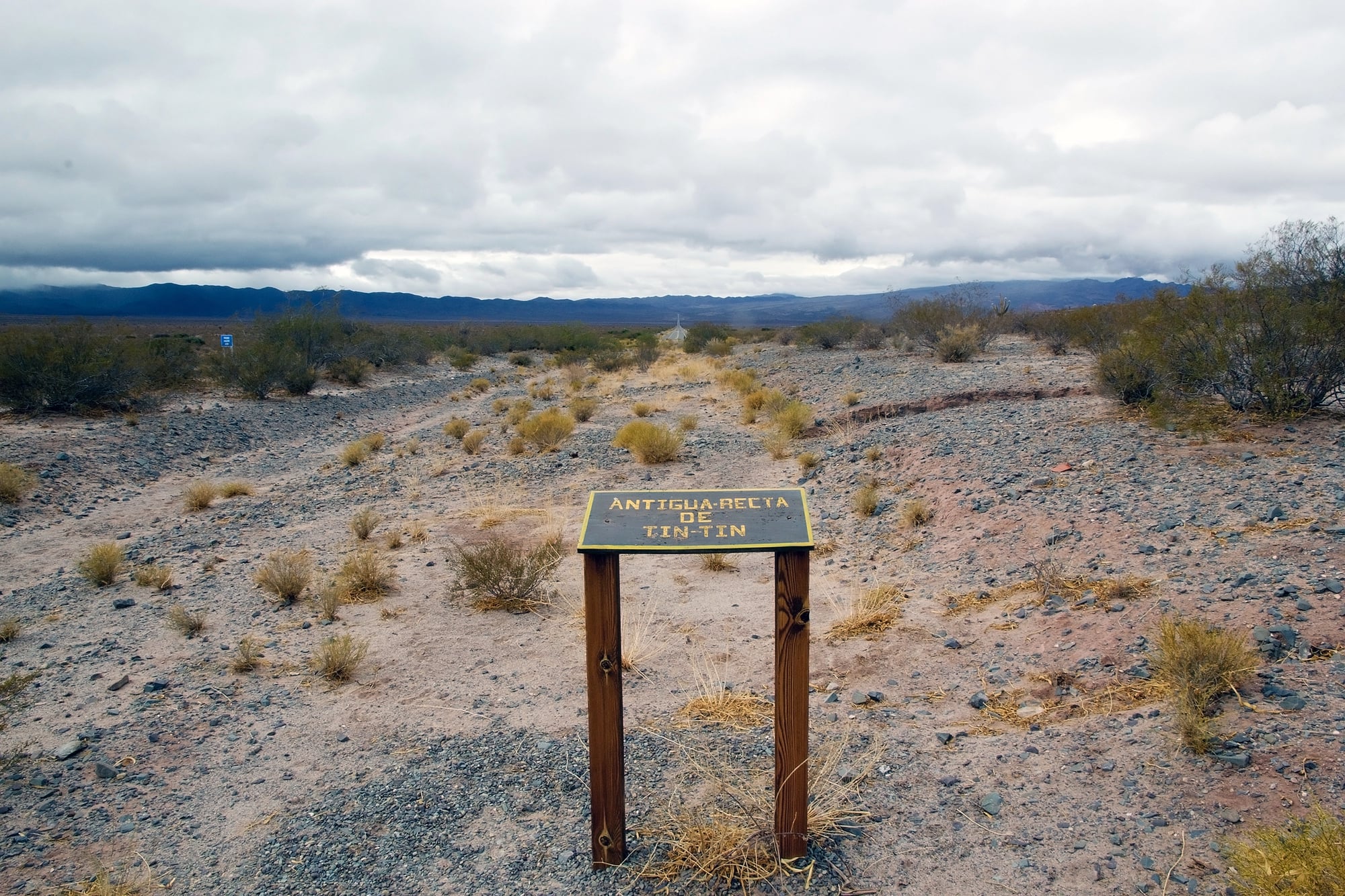
Bronze — the metal that defined an entire age of human civilisation — requires a mixture of copper and tin.
Copper was available across a broad arc of the ancient world, but tin was geographically rare, found in significant quantities only in Cornwall in Britain, Bohemia, Afghanistan, and a few other locations.
The routes that moved tin from these distant sources to the copper-smelting centres of the Mediterranean and the Middle East were among the earliest long-distance trade networks in history.
They were in operation more than 3,000 years before the common era.
Without them, the Bronze Age as it is known could not have happened.
The Portuguese Carreira da India
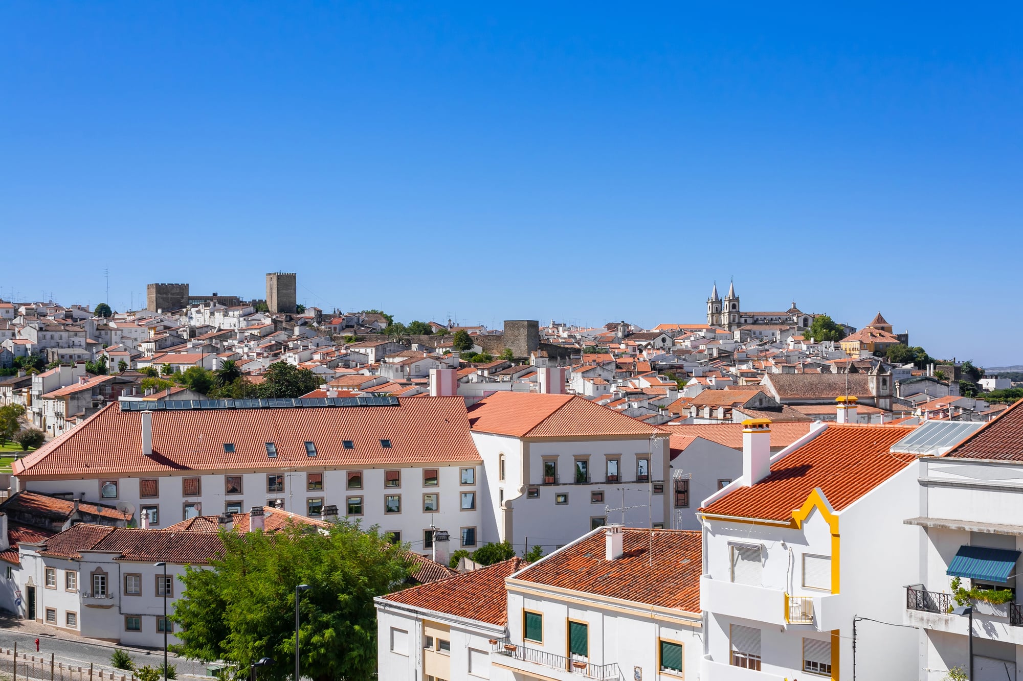
After Vasco da Gama’s initial voyage in 1497–1498, Portugal institutionalised the Cape Route into an annual fleet system called the Carreira da India.
Each year, ships left Lisbon in March to catch seasonal winds, reached Goa or Calicut by autumn, and returned the following year loaded with spices, textiles, and other Asian commodities.
The round trip took approximately eighteen months and was genuinely dangerous — roughly one in ten ships was lost to weather, shoals, or piracy.
Despite the losses, the profits were large enough to make Portugal the wealthiest kingdom in Europe for much of the sixteenth century.
The Volga Trade Route
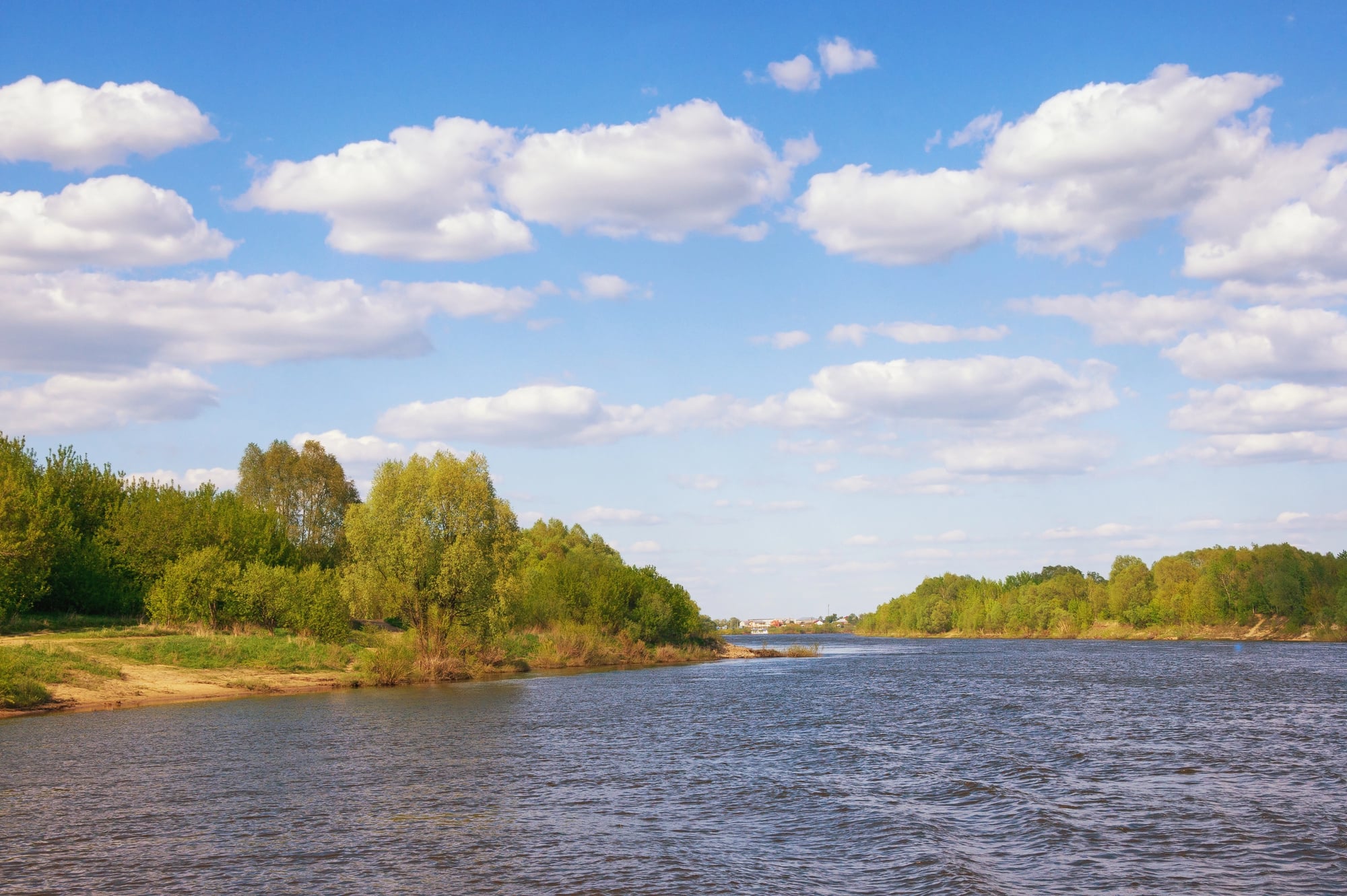
The Volga River, flowing nearly 3,700 kilometres from the forests north of Moscow to the Caspian Sea, functioned as a major commercial artery linking Scandinavia and northern Russia with the Islamic world of the Abbasid Caliphate and the Caspian steppe.
Viking and Rus merchants carried furs, wax, honey, and enslaved people southward; Arab merchants sent silver dirhams northward in such quantities that Scandinavian hoards of Arab silver coins remain one of the most distinctive archaeological signatures of early medieval trade.
The flow of Islamic silver northward along the Volga was so substantial that it helped fund the political consolidation of early Scandinavia.
Where Money Comes From
The trade routes listed here were not simply roads with goods on them.
They were the mechanisms by which the ancient and medieval world transferred wealth, ideas, religions, diseases, and technologies across vast distances and between radically different civilisations.
Every major empire listed in this piece derived a significant portion of its power not from what it produced but from what it controlled — the ability to tax, toll, or monopolise the flow of something someone else desperately needed.
That principle has not changed.
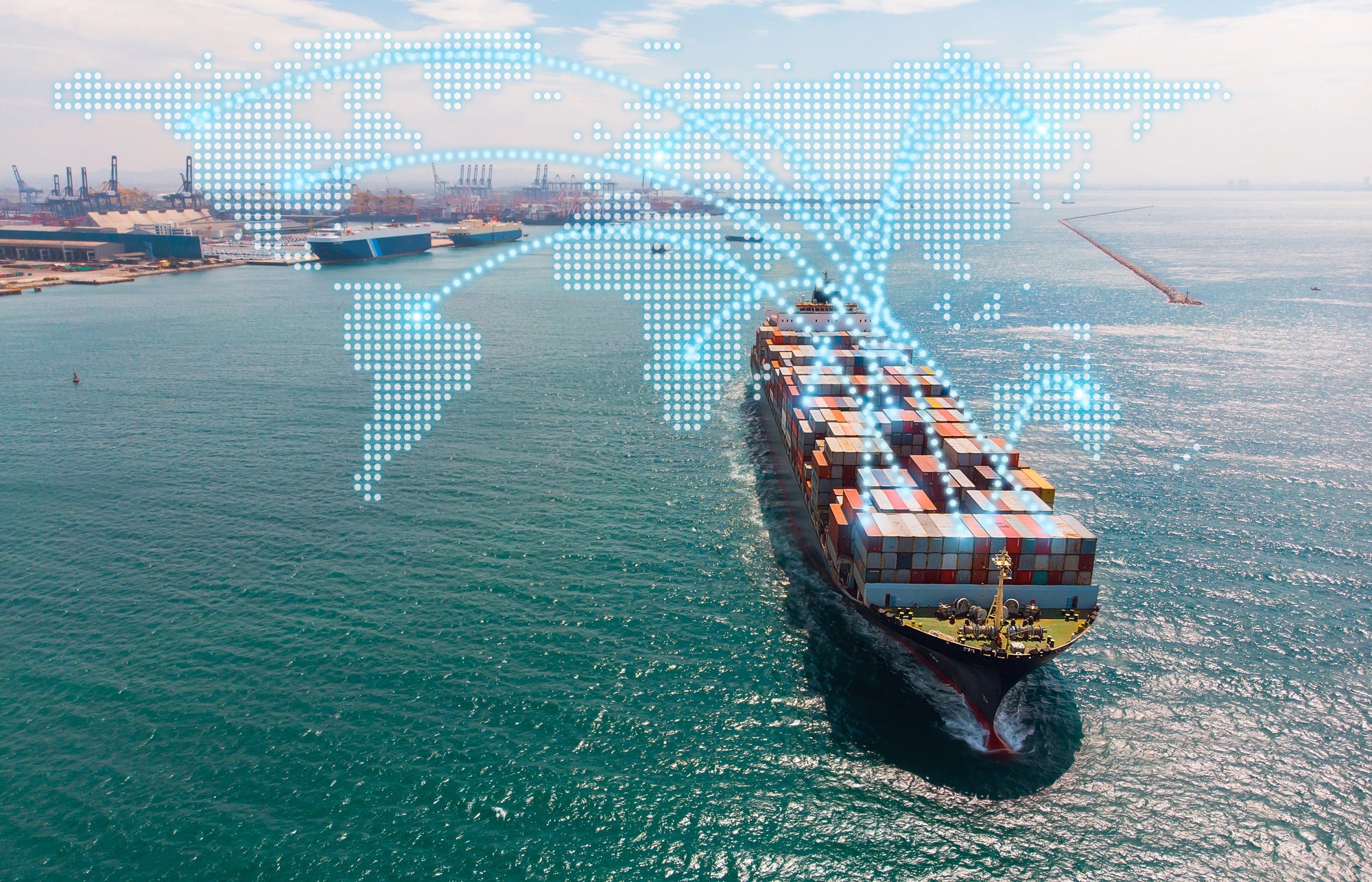
The routes have shifted from Saharan camel paths to undersea data cables and container shipping lanes, but the logic is identical: whoever controls the corridor collects the rent.
The ancient merchants hauling salt across the desert understood something that modern infrastructure investors and geopolitical strategists spend entire careers trying to relearn.
More from Go2Tutors!

- The Romanov Crown Jewels and Their Tragic Fate
- 13 Historical Mysteries That Science Still Can’t Solve
- Famous Hoaxes That Fooled the World for Years
- 15 Child Stars with Tragic Adult Lives
- 16 Famous Jewelry Pieces in History
Like Go2Tutors’s content? Follow us on MSN.