29 Old Maps and Prints Worth Framing and Worth Selling
Before satellite imagery, a map was as much an act of persuasion as measurement, and the prints made to accompany them were often the only images most people would ever see of places they would never visit. Original examples of both categories now occupy an unusual middle ground between decorative art and historical document.
Ptolemy Geographia Maps
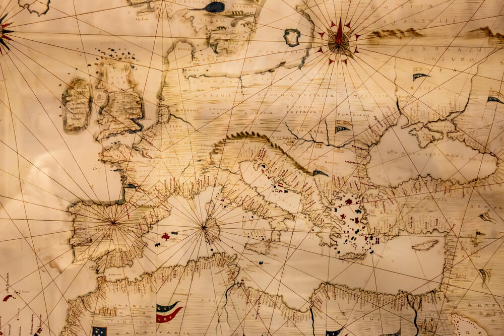
Renaissance-era printed editions of Claudius Ptolemy’s ancient Geographia, first produced in the fifteenth century using woodcut and later copper-plate techniques, remain among the earliest widely available printed maps on the collector market. Because the underlying geography reflects second-century knowledge filtered through medieval and Renaissance interpretation, these maps are valued as historical artifacts of cartographic thinking rather than as accurate representations of the world.
Condition of the paper and hand-coloring, where present, significantly affects price within this category.
Mercator World Maps
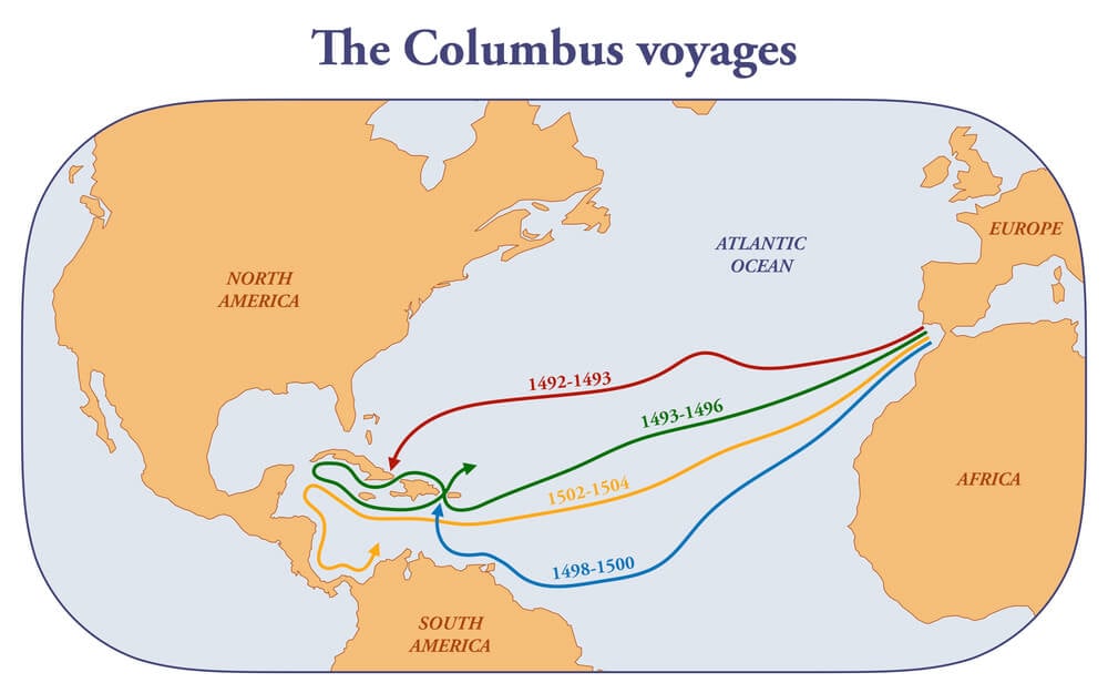
Gerardus Mercator’s projection, developed in 1569, introduced a method of representing the curved earth on a flat surface that remains in use today, and surviving printed examples from his own era or immediately following are exceptionally scarce. Most examples available to collectors are later printings from the same or similar plates, still considered valuable but priced well below a verified first-edition sheet.
Any Mercator map offered as an original from his lifetime warrants specialist verification given the value and the long history of later reproductions.
Ortelius Theatrum Orbis Terrarum
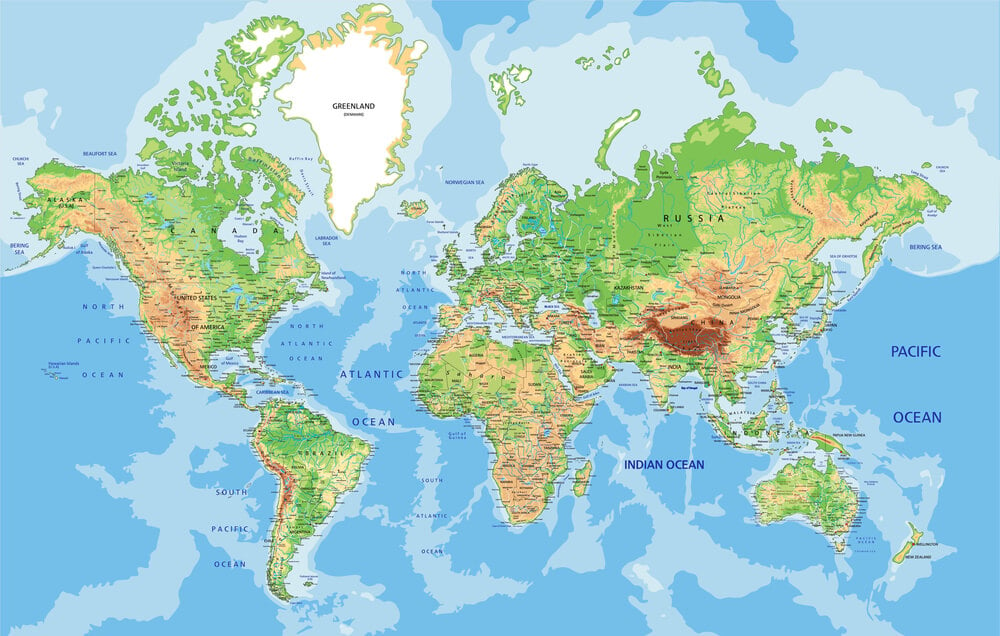
Published in 1570, Abraham Ortelius’s Theatrum Orbis Terrarum is widely credited as the first modern atlas, a bound and systematically organized collection of maps rather than a loose assortment. Individual sheets removed from later editions of the atlas circulate on the antique print market and remain popular among collectors focused on the history of cartography.
Hand-coloring applied close to the original printing date generally adds more value than coloring applied later.
Blaeu Atlas Maps
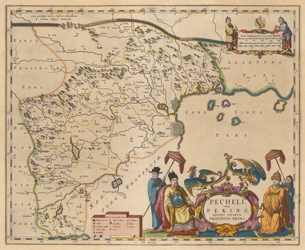
The Blaeu family’s workshop in Amsterdam produced some of the most visually elaborate atlases of the seventeenth century, known for decorative cartouches, sea monsters, and ornate borders surrounding the geographic content itself. Individual sheets, particularly those depicting well-known regions with strong decorative elements, are frequently sold framed as standalone art pieces.
Vivid original hand-coloring is a major factor separating premium examples from more modestly priced sheets.
John Speed County Maps
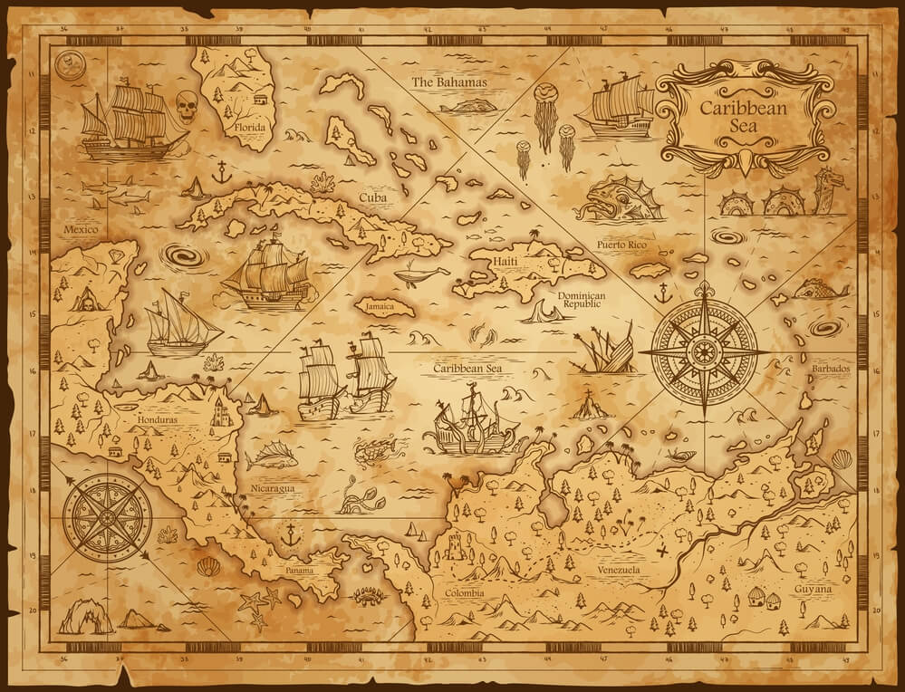
English cartographer John Speed’s early seventeenth-century maps of English and Welsh counties, often featuring inset town plans and coats of arms, remain a foundational reference point for collectors focused on British cartographic history. Because Speed’s maps were widely reproduced in later editions using the same plates, dating a specific sheet accurately requires attention to paper and printing details rather than the image alone.
Maps of well-known or historically significant counties tend to draw stronger collector interest than more obscure regions.
Audubon Birds of America Prints
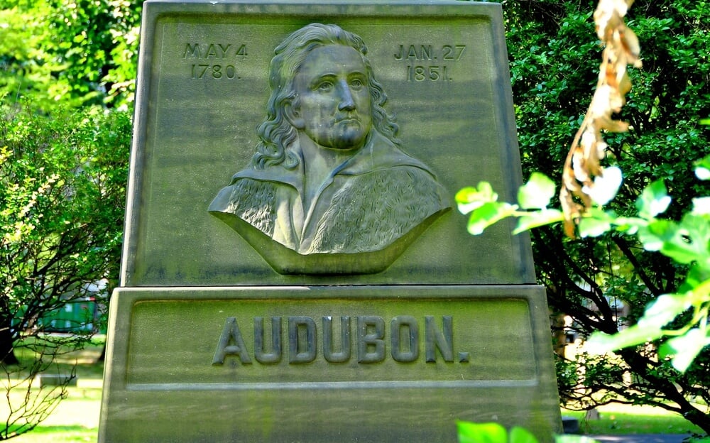
John James Audubon’s Birds of America, produced through hand-colored engravings published between 1827 and 1838, remains one of the most valuable print series ever produced, with complete original sets selling for enormous sums at major auctions. Individual plates removed from complete sets circulate more accessibly on the collector market, with value varying enormously based on the specific bird depicted and the plate’s rarity.
Because of the values involved, buyers should confirm whether a given sheet is an original period engraving or one of the many later reproductions.
Audubon Viviparous Quadrupeds Prints

Less widely known than his bird prints, Audubon’s later work depicting North American mammals, published in the 1840s in collaboration with naturalist John Bachman, has its own dedicated collector following. The prints combine detailed natural history illustration with the same hand-coloring techniques used in the bird series.
Individual quadruped prints generally sell for less than comparable bird prints from the same artist, though certain species-specific plates are exceptions.
Currier and Ives Prints
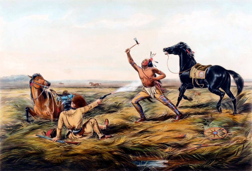
The New York firm of Currier and Ives produced hand-colored lithographs on an enormous range of subjects, from winter landscapes to disasters, portraits, and current events, throughout the nineteenth century. Because the firm produced an estimated tens of thousands of different images across its history, values vary enormously depending on subject matter and rarity, with rural and winter scenes generally more sought after than the firm’s more common portrait prints.
Original lithographs command significantly more than the numerous later photomechanical reproductions that have circulated for decades.
Civil War Battle Maps

Detailed maps produced during and shortly after the Civil War, whether for military planning or later publication in illustrated histories, are collected both for their historical documentation and their often intricate engraving work. Maps tied to specific well-documented battles or campaigns generally draw stronger interest than more general regional maps from the same period.
Government-issued survey maps and privately published commercial versions are valued somewhat differently by specialists in the category.
Sanborn Fire Insurance Maps
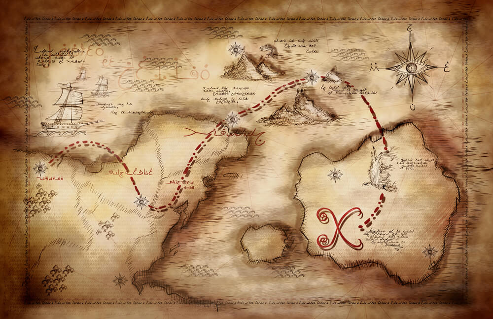
Produced from the late nineteenth century through much of the twentieth century to help insurance companies assess fire risk, Sanborn maps documented individual buildings block by block in extraordinary detail across thousands of American towns and cities. Because they were working documents rather than decorative pieces, surviving original sheets are valued heavily by local historians and genealogists in addition to map collectors.
A map depicting a since-demolished or significantly changed neighborhood tends to carry particular local interest and correspondingly stronger demand.
Redouté Rose Prints

Pierre-Joseph Redouté’s detailed botanical engravings of roses, produced in the early nineteenth century under the patronage of Empress Joséphine, remain some of the most recognized and widely reproduced botanical prints ever made. Original stipple-engraved prints from Redouté’s own era are considerably more valuable than the many later reproductions that have circulated for over a century.
Collectors look closely at paper type, coloring technique, and plate marks to distinguish period originals from later printings.
Rand McNally Railroad Maps
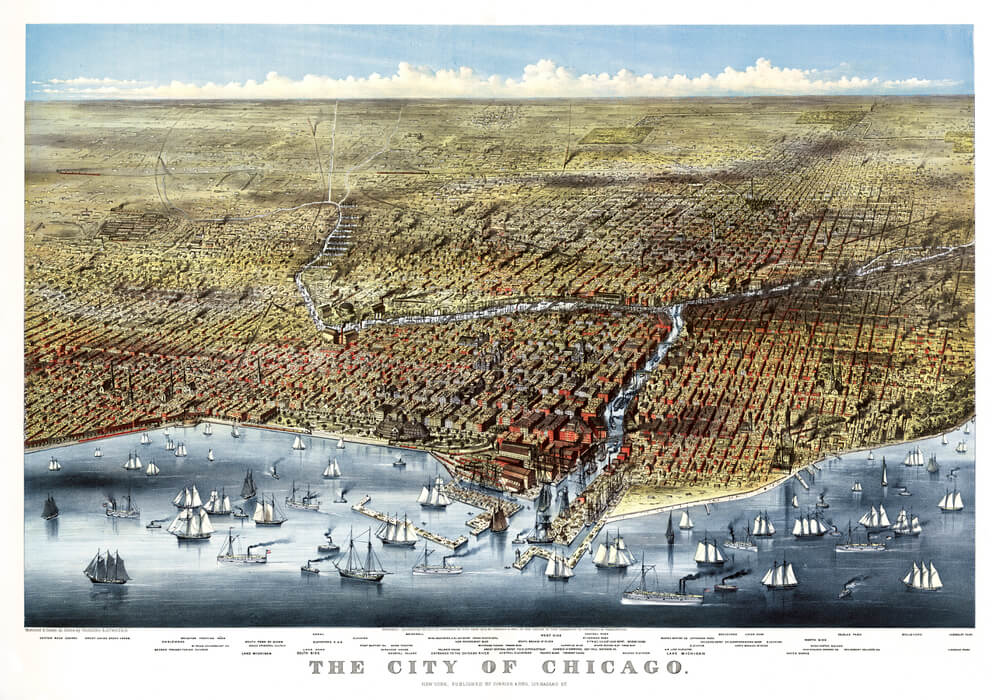
Rand McNally, founded in Chicago in the 1850s, became a leading publisher of railroad and travel maps as American rail networks expanded rapidly through the late nineteenth century. Maps depicting specific short-lived rail lines or now-defunct railroad companies are often more collectible than more common general national maps from the same publisher.
Because the company produced maps continuously for over a century, correctly dating a specific sheet is an important step before assessing value.
Admiralty Nautical Charts
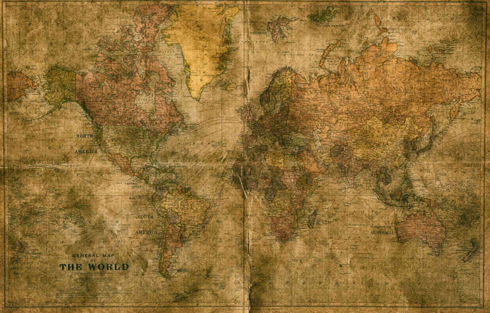
Official British Admiralty charts, produced for naval and commercial navigation from the eighteenth century onward, are valued by collectors for both their historical accuracy and their often striking depictions of coastlines and depth soundings. Charts covering strategically or historically significant waters generally draw stronger collector interest than more routine regional surveys.
Because these charts were working navigational documents, examples with period annotations from actual use are sometimes valued specifically for that added layer of history.
American Bird’s-Eye View City Prints

Popular from the mid to late nineteenth century, bird’s-eye view prints depicted American towns and cities from an imagined aerial perspective, often commissioned by local boosters to promote a growing community. These prints are highly sought after by local historical societies and collectors focused on a specific city or region, which can drive prices well above what a similarly aged print of a less documented subject would bring.
Condition of the fine printed detail, rather than the paper alone, is the primary factor in value.
Early State Survey Maps
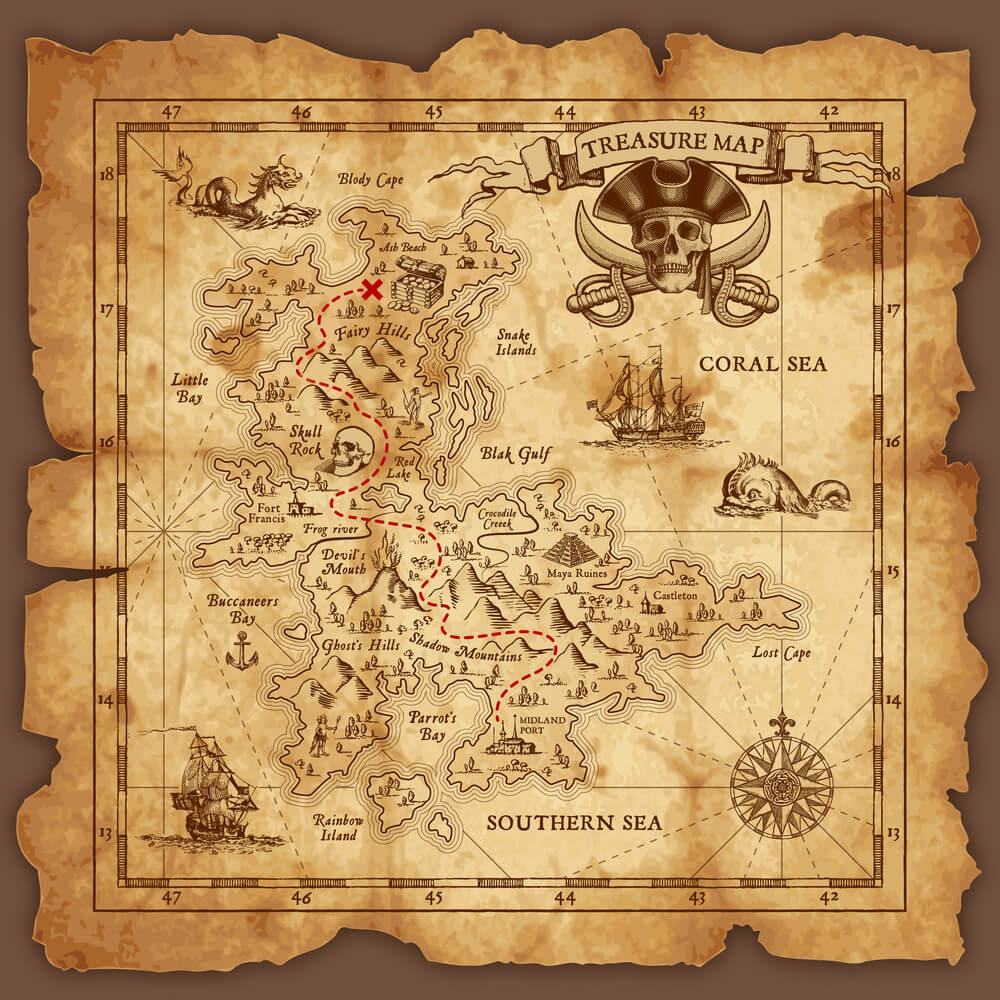
Official and commercial survey maps produced as American states were formally organized and settled through the eighteenth and nineteenth centuries document boundary changes, early transportation routes, and land divisions no longer visible on modern maps. Maps depicting a state during a particularly transitional period, such as shortly after statehood or during a major boundary dispute, tend to be more collectible than maps from a more settled later period.
Regional collectors and historical societies are often the strongest buyers for maps tied to a specific state’s early history.
Colonial-Era Maps of America
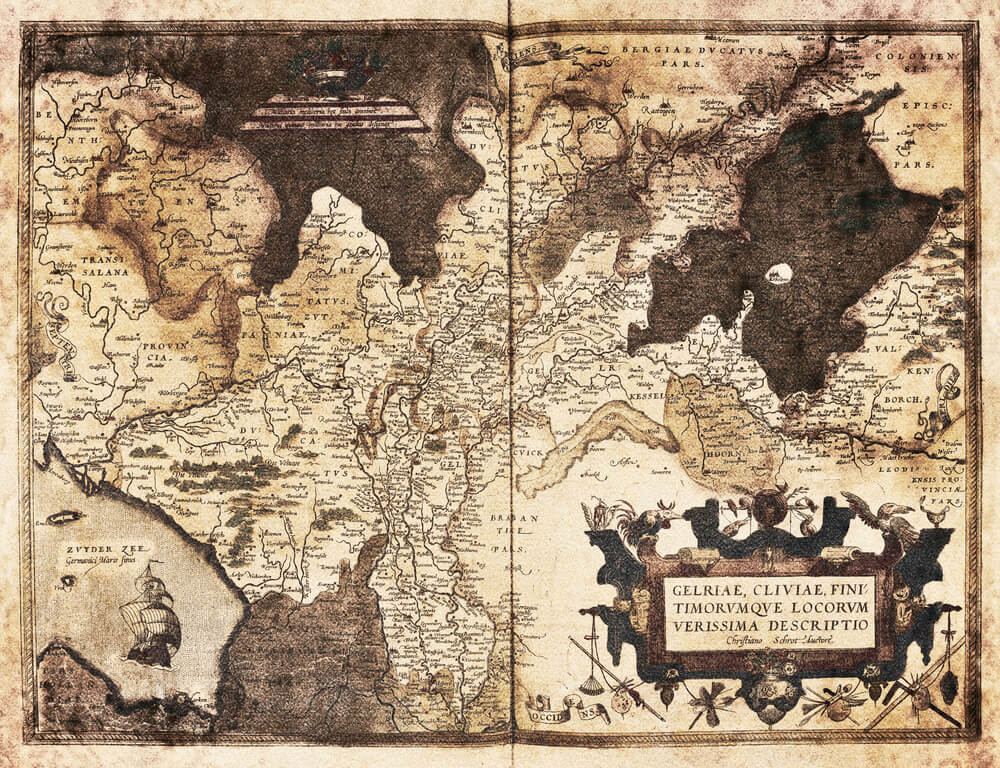
Maps produced by European cartographers depicting the American colonies before independence, often based on incomplete surveying and secondhand reports, are prized specifically for what they reveal about contemporary European understanding of the continent. Because accurate original colonial-era maps are genuinely scarce, the category has attracted a significant number of later reproductions sold as originals.
Provenance documentation and expert authentication are especially important given the values involved.
Antique Globe Gore Prints

Printed paper “gores,” the curved segments designed to be cut and pasted onto a spherical globe form, were produced by globe makers from the sixteenth century onward and occasionally survive as uncut printed sheets rather than assembled globes. Uncut gore sheets are considerably rarer than the finished globes they were intended to become, since most were used as intended shortly after printing.
Collectors specifically seeking gore sheets tend to be specialists within the broader map-collecting community rather than general antique buyers.
Japanese Ukiyo-e Woodblock Prints

Japanese woodblock prints from the Edo and Meiji periods, depicting subjects ranging from landscapes to theater and everyday life, are collected internationally both as fine art and as historical documents of Japanese visual culture. Prints by widely recognized artists in strong original condition, with vivid color retention and minimal trimming of the original sheet, command significantly higher prices than later reprintings from worn blocks.
Because reprints continued to be produced from surviving woodblocks well after an artist’s death, dating a specific impression accurately is an important step in valuation.
Mathew Brady Civil War Photographic Prints

Photographs taken or commissioned by Mathew Brady’s studio during the Civil War, among the first conflicts extensively documented through photography, are collected as both historical documents and early examples of photojournalism. Original period prints are considerably scarcer and more valuable than the later reproductions made from surviving glass-plate negatives, many of which entered public archives.
Clear attribution to a specific photographer within Brady’s studio, where documented, can affect value given that Brady employed numerous photographers under his own studio name.
Vanity Fair Spy Caricature Prints

The British magazine Vanity Fair published caricature portraits of notable public figures from the 1860s through the early twentieth century, many drawn by an artist working under the pseudonym Spy. The prints combined satirical exaggeration with genuine likeness, capturing prominent figures from politics, law, and society of the period.
Prints depicting particularly well-known historical figures generally draw stronger collector interest than caricatures of more obscure subjects from the same publication.
County Land Ownership Atlases
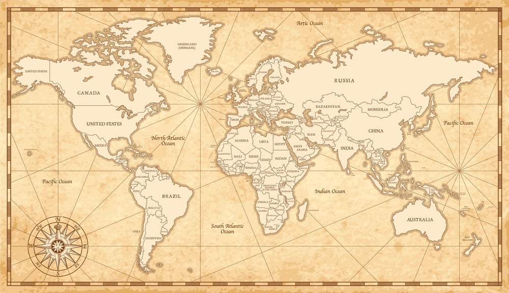
Published across many American states during the late nineteenth century, county atlases mapped individual property ownership parcel by parcel, often including illustrations of notable local homes and businesses. These atlases are prized heavily by genealogists and local historians researching specific family land holdings.
A page depicting a specific, identifiable family property can carry strong regional demand well beyond what its general cartographic value alone would suggest.
Hammond World Atlas Pages
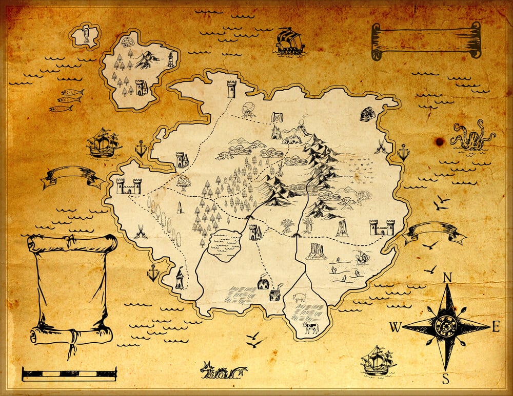
Hammond, a longtime American atlas and map publisher active from the late nineteenth century onward, produced world and regional atlas pages now collected individually after being removed from bound volumes. Maps depicting now-changed national boundaries, such as pre-independence colonial territories or now-dissolved political unions, are often more collectible than maps of more stable regions.
Because Hammond atlases were produced in large volumes, condition and specific edition matter considerably more than age alone.
Railroad Promotional Maps
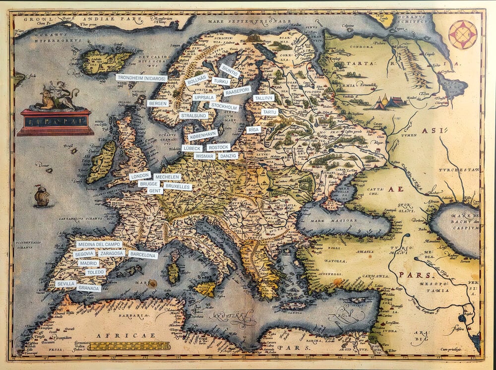
Produced by individual rail companies to promote land sales, tourism, or investment along a specific route, promotional railroad maps from the late nineteenth and early twentieth centuries often combined cartography with striking commercial illustration. Maps tied to now-defunct rail lines or short-lived promotional land schemes tend to draw particular interest from railroad history collectors.
Because these maps were distributed as advertising rather than sold, well-preserved surviving examples are often scarcer than their original print runs might suggest.
Whaling Voyage Charts
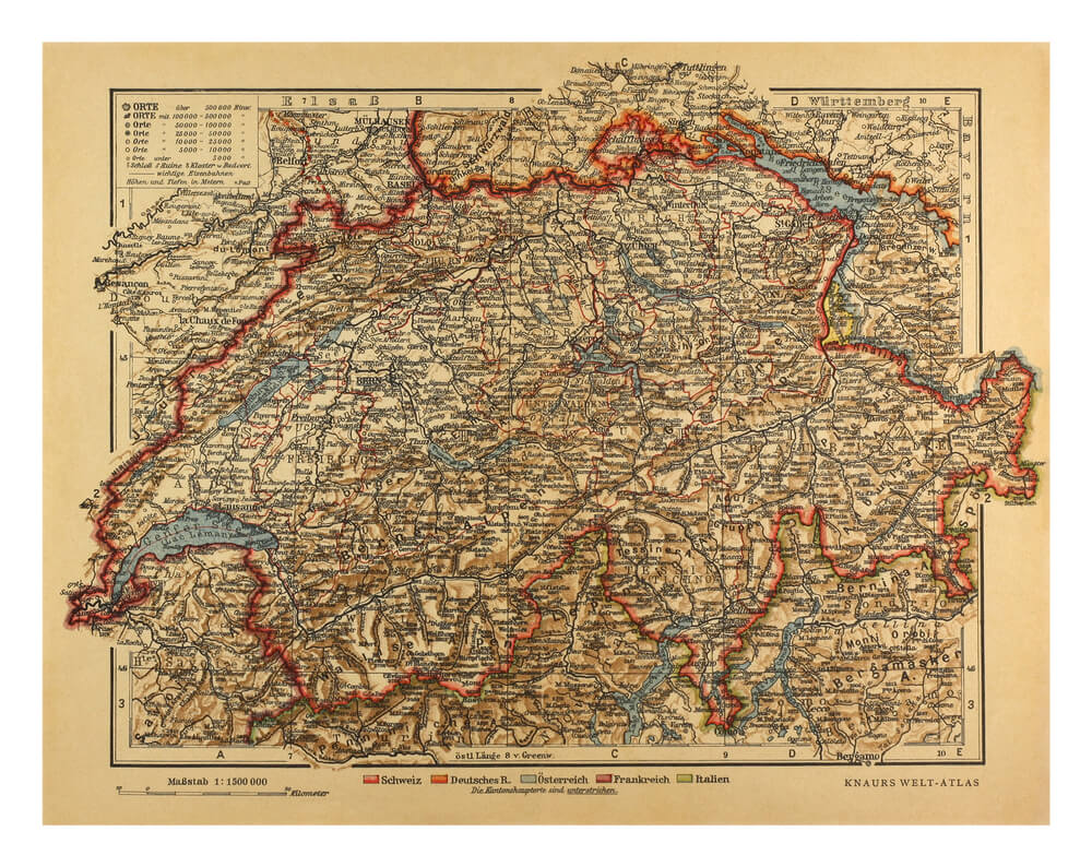
Charts documenting specific nineteenth-century whaling voyages, sometimes annotated by hand with tracked routes and recorded catches, are collected both by maritime historians and by regional collectors connected to historic whaling ports. Because these charts were working documents kept aboard ship, surviving examples with legible period annotation are considerably scarcer than blank printed nautical charts from the same era.
Documented connection to a specific named vessel or voyage significantly increases a chart’s historical and financial value.
Godey’s Lady’s Book Fashion Plates
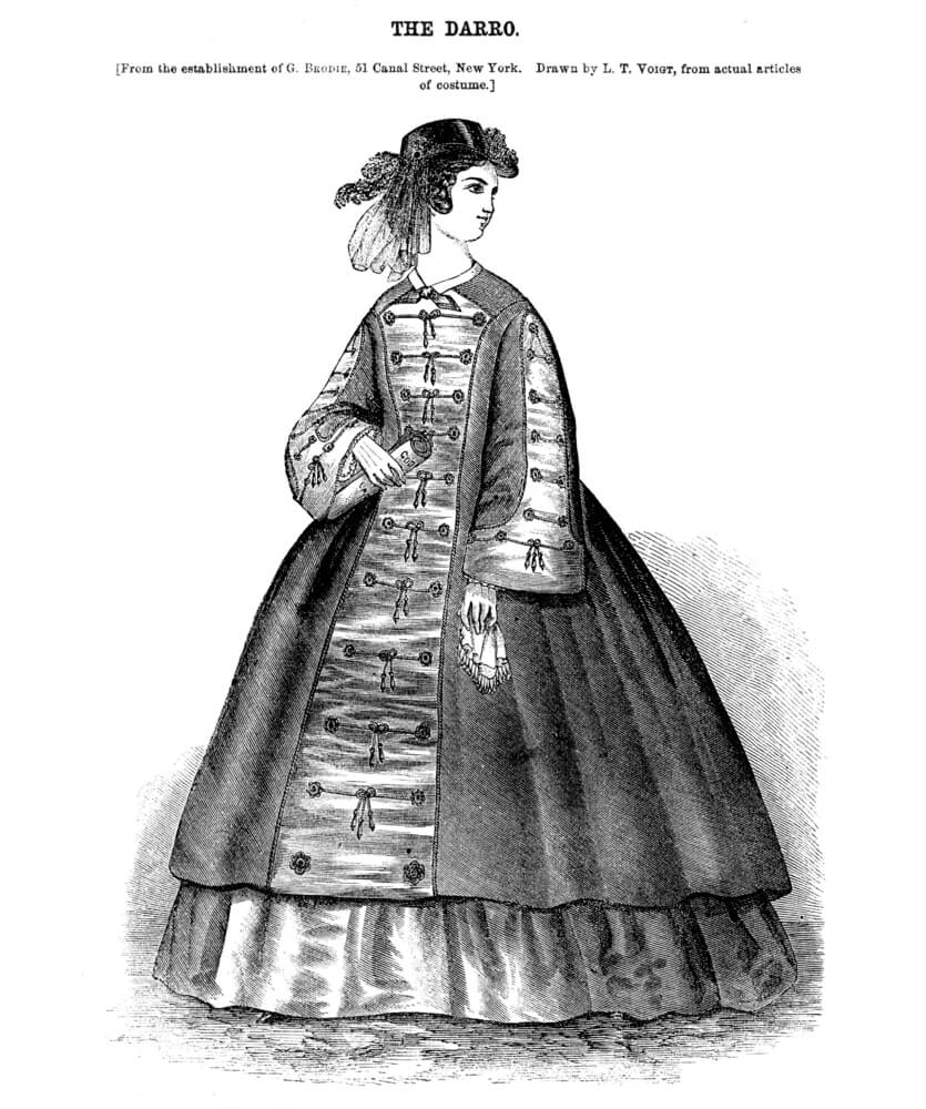
Godey’s Lady’s Book, a widely circulated American women’s magazine published through much of the nineteenth century, included hand-colored fashion plate illustrations that are now collected individually after being removed from bound volumes. The plates are valued both as costume history references and as decorative prints in their own right.
Because the magazine was so widely distributed, individual common plates are relatively affordable, while plates depicting particularly elaborate or unusual fashion are more sought after.
WPA National Park Travel Posters

Produced during the 1930s and 1940s as part of Depression-era federal employment programs, WPA travel posters promoting national parks used bold, simplified graphic design distinct from the more detailed commercial travel advertising of earlier decades. Original period posters are extremely scarce, since relatively few were produced and preserved compared to the many later official reprints issued by the National Park Service.
Collectors place a significant premium on verified originals over the widely available modern reproductions using the same designs.
Hudson River School Engraved Prints

Engraved reproductions of paintings by Hudson River School artists, produced during the nineteenth century to bring landscape paintings to a wider audience than the original canvases could reach, are collected as an accessible entry point into a major American art movement. Because these were reproductive prints rather than the original paintings, values remain far below the underlying artworks while still reflecting genuine period craftsmanship in the engraving itself.
Prints depicting well-known, still-recognizable landscape locations generally draw stronger interest than more generic scenes.
Antique Celestial Star Charts
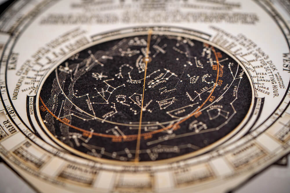
Printed star charts, mapping constellations according to historical astronomical understanding, were produced alongside terrestrial maps by many of the same cartographic publishing houses from the sixteenth century onward. Charts incorporating decorative mythological figures representing the constellations, a common convention of the period, tend to be more visually striking and collectible than charts using plain point-and-line notation.
As with terrestrial maps from the same era, original hand-coloring significantly affects value.
Revolutionary War Battle Maps

Maps produced during or shortly after the American Revolutionary War, whether for military planning or later publication in histories of the conflict, document troop movements and terrain no longer visible in the same form today. Maps tied to well-known, widely studied engagements generally command stronger prices than maps of more obscure skirmishes.
British and American-produced maps of the same battle are sometimes collected side by side specifically to compare each side’s contemporary understanding of the same event.
Paper That Outlasted Its Purpose
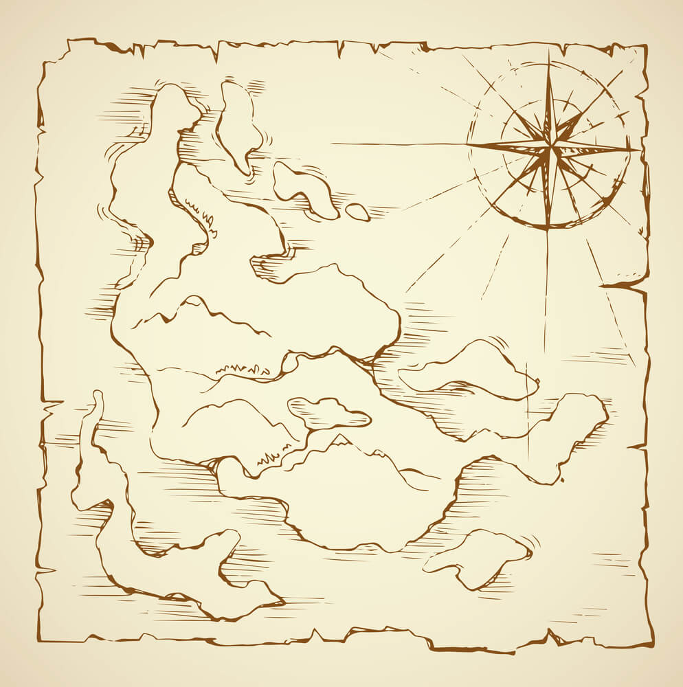
Almost none of these maps and prints were made to be art. They were made to navigate a coastline, insure a building, sell a parcel of land, or illustrate a magazine article, and their value today comes largely from the fact that the world they documented has since changed or disappeared entirely.
That gap between original purpose and current appeal is why condition and authenticity matter so much more here than aesthetic appeal alone. A map with faded ink and foxed paper can still be worth serious money if it accurately captures a moment in a place’s history that nothing else quite does, while a beautifully preserved later reproduction of the same image may be worth very little at all.
More from Go2Tutors!

- The Romanov Crown Jewels and Their Tragic Fate
- 13 Historical Mysteries That Science Still Can’t Solve
- Famous Hoaxes That Fooled the World for Years
- 15 Child Stars with Tragic Adult Lives
- 16 Famous Jewelry Pieces in History
Like Go2Tutors’s content? Follow us on MSN.