33 Things About Road Trips Before GPS That Younger Generations Can’t Imagine
Before smartphones guided drivers with turn-by-turn navigation, road trips required genuine planning, spatial reasoning, and the acceptance of uncertainty. The absence of GPS meant travelers developed skills and attitudes toward navigation that younger generations find almost incomprehensible.
These pre-GPS experiences shaped how people understood geography, solved problems, and related to the act of traveling itself.
Paper Maps Came From Gas Stations
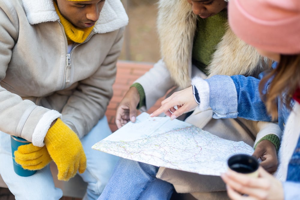
Gas stations distributed free road maps as marketing tools and customer incentives, making paper navigation accessible to the average driver. These maps were prominently displayed by cash registers, and drivers would collect them for future trips.
The maps were often sponsored by oil companies and featured their service stations highlighted throughout the region. Accumulating a collection of regional maps was how road-trippers prepared for cross-country journeys.
Reading Maps Meant Folding Skills

Paper maps were notoriously difficult to fold back into their original configuration, frustrating drivers who attempted to refold them neatly after consultation. The maps would tear along fold lines, creating permanent damage that rendered sections unreadable.
Passengers became designated “map folders,” though success at restoring the original folding pattern was essentially impossible, so partially crumpled maps were standard equipment.
The Glove Box Was a Navigation Library
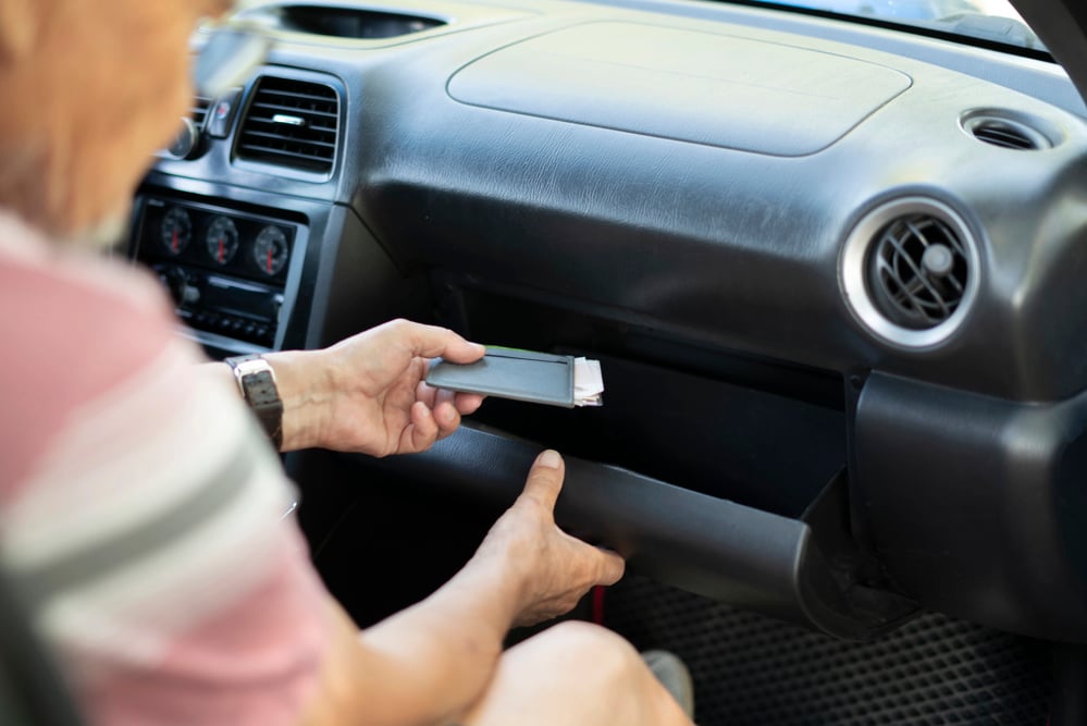
Every serious road-tripper maintained a curated collection of maps in their glove box, organized by region and supplemented with hand-drawn notes or highlighted routes. These collections represented months of preparation, with drivers comparing different map publishers’ versions to find the most accurate routes.
The glove box’s limited space created competition between maps, tire pressure gauges, registration documents, and other essential travel supplies.
Asking for Directions Carried Social Risk

Stopping to ask strangers for directions meant experiencing the full range of human helpfulness and dysfunction, from detailed verbal descriptions to confidently incorrect information. Some people were remarkably generous with navigation assistance while others provided vague or misleading directions, leaving drivers to second-guess the advice.
Asking directions conveyed vulnerability and doubt about preparedness, making some drivers prefer getting lost to admitting they needed help.
Road Signs Told More Information
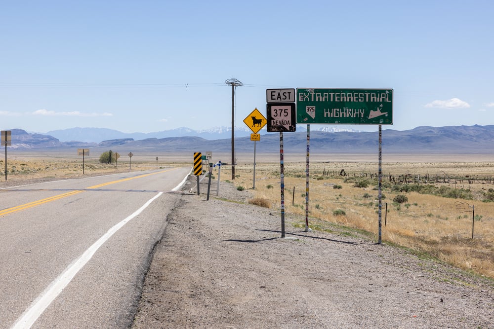
Pre-GPS drivers relied on density and clarity of roadway signage to maintain orientation, making road signs critical navigation aids rather than decorative features. Mile markers, distance announcements, and clear exit numbering were essential infrastructure that required careful attention.
Missed signs meant backtracking, particularly before exit numbers were standardized across all U.S. highways, creating regional variation in sign systems.
Getting Lost Was a Temporary Panic

Realizing you had missed a turn and taken a wrong exit triggered genuine distress, since correcting course required finding a place to safely pull over, consulting maps, and determining the best recovery route. There was no option to reroute instantly—you had to manually figure out how to correct your mistake.
Getting significantly lost on a long drive could add hours to travel time, creating real consequences for navigation errors.
Odometer Math Verified Progress
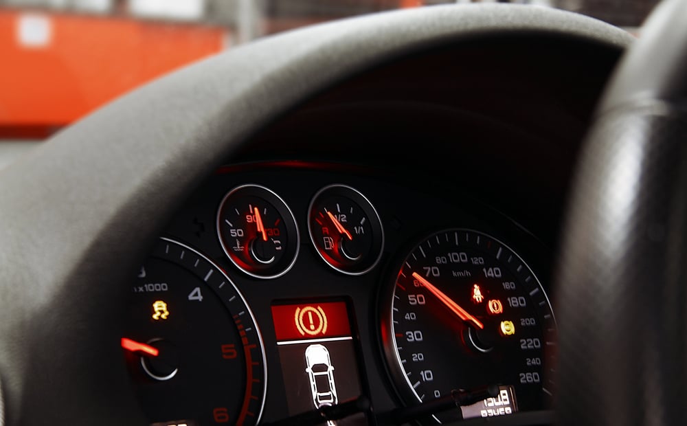
Drivers tracked their position by calculating distance traveled against map distances, using odometer readings to confirm they were following the correct route. Comparing miles driven to anticipated distances created reassurance or growing doubt about whether the journey was proceeding correctly.
This constant mathematical confirmation maintained awareness of location in ways passive GPS following eliminates.
Landmarks Became Navigation Tools
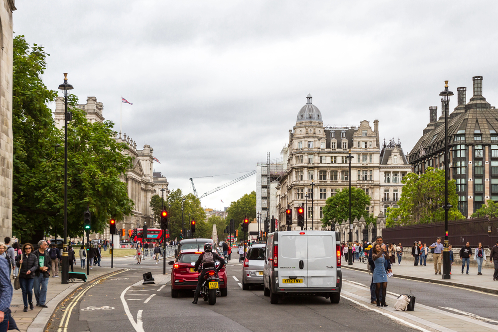
Drivers relied on visual landmarks—distinctive buildings, rock formations, unusual trees, or town characteristics—to confirm they were on the correct route. Landmarks served as checkpoints, with drivers noting “turn at the barn with the red roof” or “pass the large rock formation” as confirmation of proper orientation.
Loss of familiar landmarks triggered doubt and required map consultation to reconfirm the route.
Alternate Routes Existed Mentally
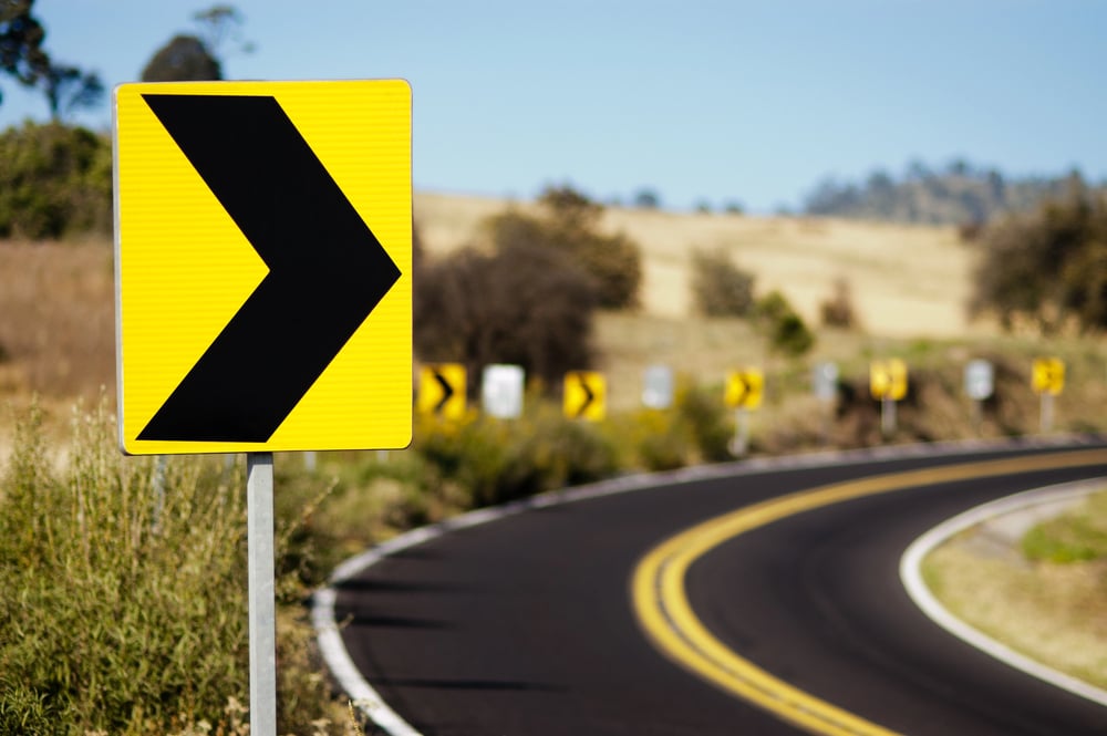
Before GPS optimization, drivers learned multiple possible routes to destinations through experience and friend recommendations. Some routes were scenic, others faster, some went through towns with good restaurants—drivers chose their route based on this experiential knowledge.
The mental map of multiple possibilities replaced algorithm-generated single optimal routes.
Planning Meant Spreading Maps on Tables

Road trip planning involved literally unfolding multiple maps across tables or floors, calculating distances with rulers, and marking routes with highlighters or pen. This tactile engagement with geography meant drivers truly understood the spatial relationships involved in their journey.
The planning phase was lengthy and required genuine attention, creating investment in the trip before departure.
Bathroom Breaks Meant Consulting New Maps
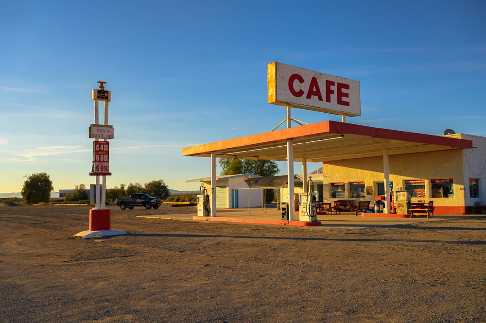
Stopping for fuel or restroom breaks presented opportunities to collect new maps for upcoming regions, adding to the car’s navigation library. Gas station stops doubled as information-gathering missions, with drivers asking attendants for recommendations about route conditions or detours.
These stops made road trips episodic, with each segment requiring re-orientation and new map consultation.
Missed Exits Were Permanent Decisions
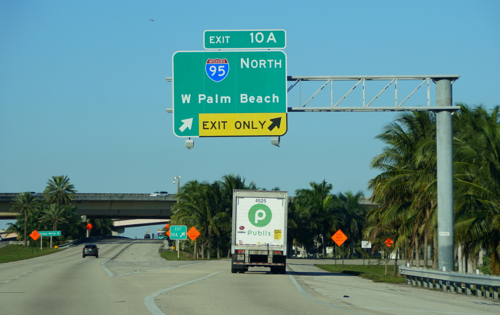
Once passing an exit, correction meant traveling miles to find somewhere safe to turn around, making exit navigation high-stakes. The commitment to an exit choice meant careful attention to exit numbers and descriptions.
Missing an exit carried real consequences of time and frustration, unlike digital navigation allowing instant rerouting.
Night Driving Meant Less Navigation

Darkness reduced a driver’s ability to read maps or spot landmarks, making nighttime driving riskier navigationally. Night driving required finding well-lit rest areas where maps could be properly consulted, since driving by map reading wasn’t feasible.
This made night driving on unfamiliar routes particularly anxiety-inducing without passengers able to read maps.
Toll Roads Caught Drivers Unprepared
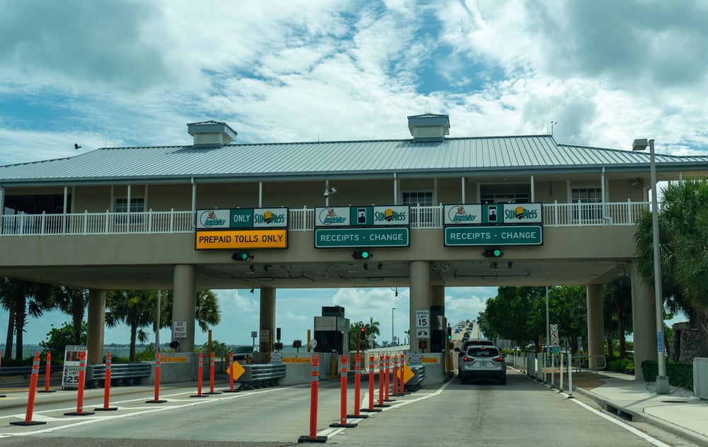
Unexpected toll plazas required carrying cash, since toll roads weren’t consistently marked on all maps and payment methods were primarily cash-based. Running into toll roads without knowing which direction to proceed created stress and financial inconvenience.
Some regional maps omitted toll road information entirely, creating unpleasant surprises during journeys.
Route 66 Symbolized Pre-GPS Exploration
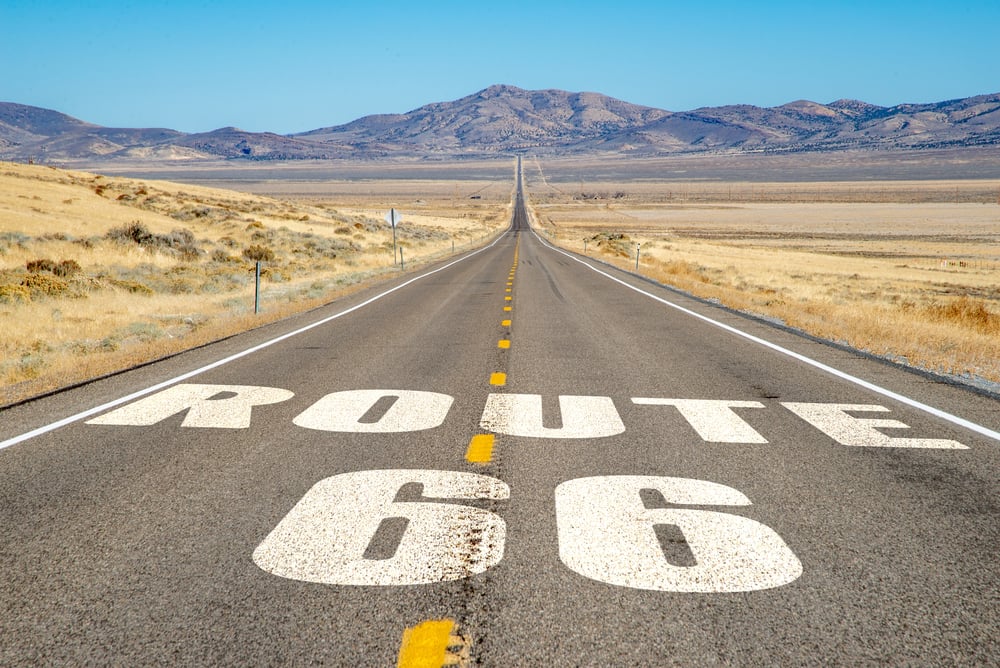
The famous highway represented a type of road trip culture before GPS—following a distinct route, experiencing diverse landscapes and local attractions, making the journey itself the destination. Route 66’s cultural significance partly reflects pre-GPS era values when following a specific road was the structure for adventure.
Modern GPS navigation has eliminated the need for dedicated route finding.
Road Atlases Served as Coffee Table Books
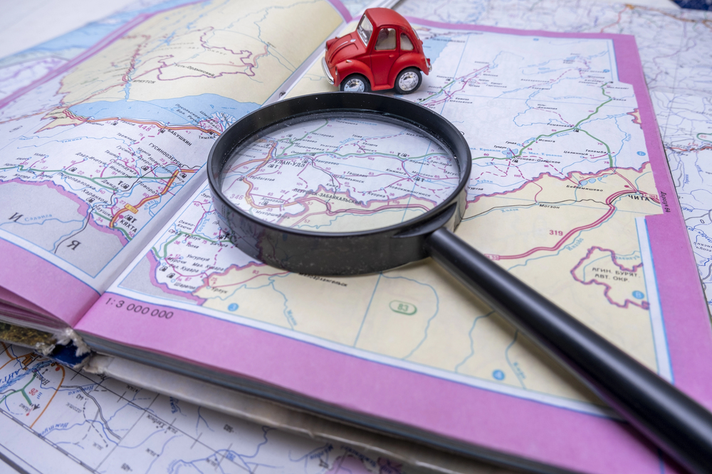
Comprehensive road atlases were expensive reference books that many families maintained at home for long-term planning and armchair travel. These multi-volume works represented major investments and demonstrated wealth through their completeness and binding quality.
Studying atlases during winter provided entertainment and planning for upcoming summer trips.
Detours Required Rapid Adaptation
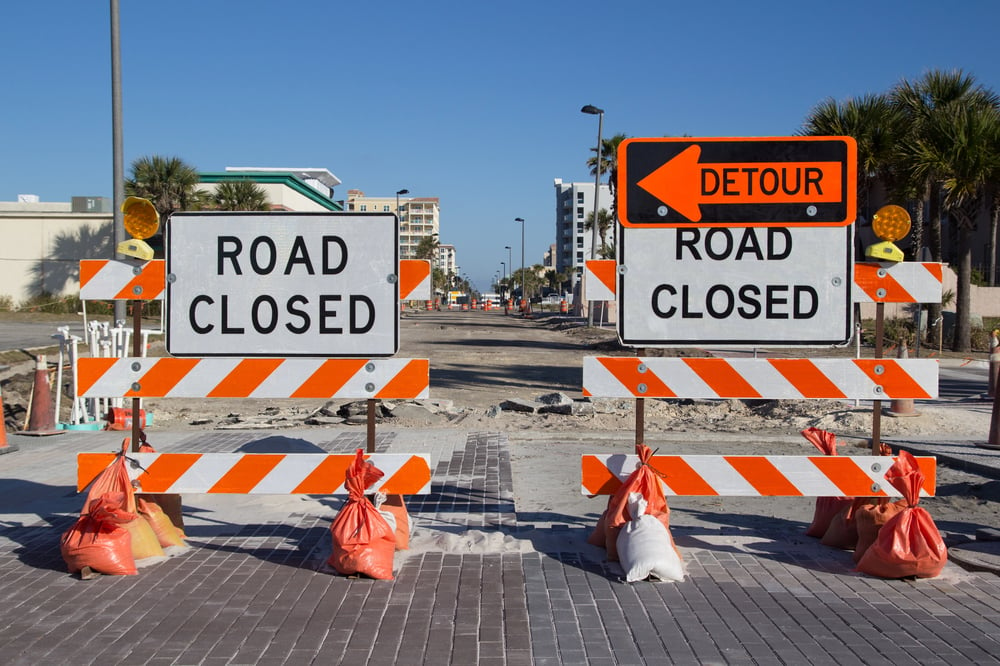
Construction or road closures encountered mid-trip required improvising new routes using maps and intuition, with no automated system calculating optimal alternatives. Drivers developed quick assessment skills about which roads might work as substitutes.
Detour experiences became memorable parts of trips, often leading to discovery of unexpected towns or attractions.
Compasses Were Actual Navigation Tools
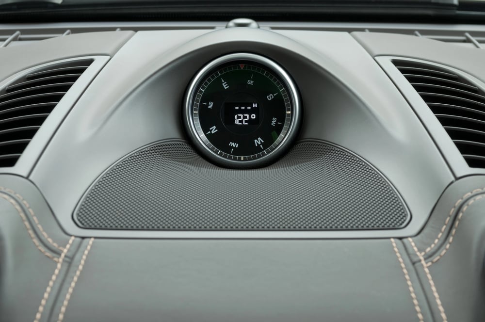
Car compasses and handheld magnetic compasses served real navigation functions for drivers unsure which direction they were heading. Knowing north from south provided orientation confirmation, particularly when driving through rural areas lacking clear landmarks.
Compass reading represented genuine navigation skill that drivers developed and maintained.
Truckers Had Secrets to Share
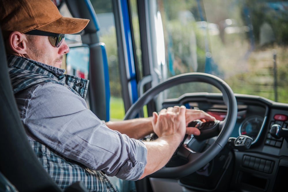
Long-distance truck drivers represented repositories of road knowledge, with travelers stopping at truck stops to gather navigation advice from experienced drivers. These informal information networks provided practical guidance about road conditions, safe stopping places, and optimal routes.
Stopping at truck stops was both functional navigation strategy and social networking opportunity.
CB Radios Were Mobile Information Networks
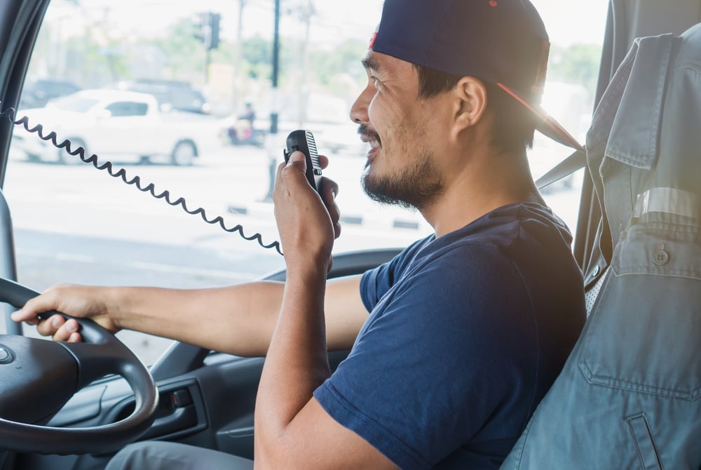
Citizens Band radio provided real-time communication about road conditions, hazards, and traffic without cellular networks. Truckers and regular travelers used CB radio to share information about accidents, police speed traps, and road construction.
The CB radio created a sense of driver community and mutual assistance that GPS eliminated.
State Welcome Centers Provided Route Assistance
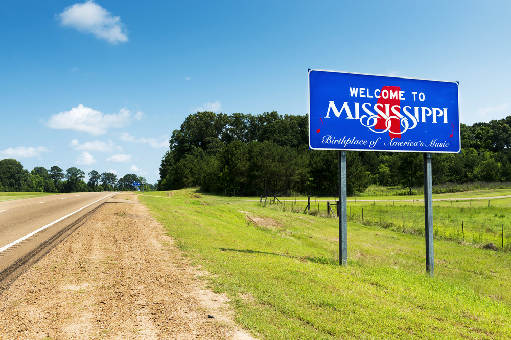
State welcome centers offered free maps, route planning assistance, and information about attractions along chosen routes. Staffing allowed personalized recommendations from people with local knowledge.
These welcome centers were mandatory stop points for serious road-trippers, providing refreshment, updated information, and bathroom facilities.
Motel Selection Happened on the Road
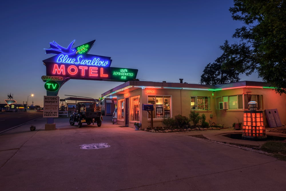
Without internet reviews or advance reservation options, drivers selected motels by stopping at establishments and checking rooms before committing. Driving slowly through motel rows, examining exteriors, and sometimes waking owners to show available rooms was standard practice.
Motel selection uncertainty added adventure and risk to nighttime travel phases.
Route Planning Took Days or Weeks

Serious road-trippers spent substantial time planning routes, calculating optimal stopping points, researching destination attractions, and studying alternative routes. This extended planning meant by departure day, drivers had intimate knowledge of the journey ahead.
The planning phase created anticipation and psychological preparation for the travel experience.
Mileage Markers Were Vital Orientation Tools
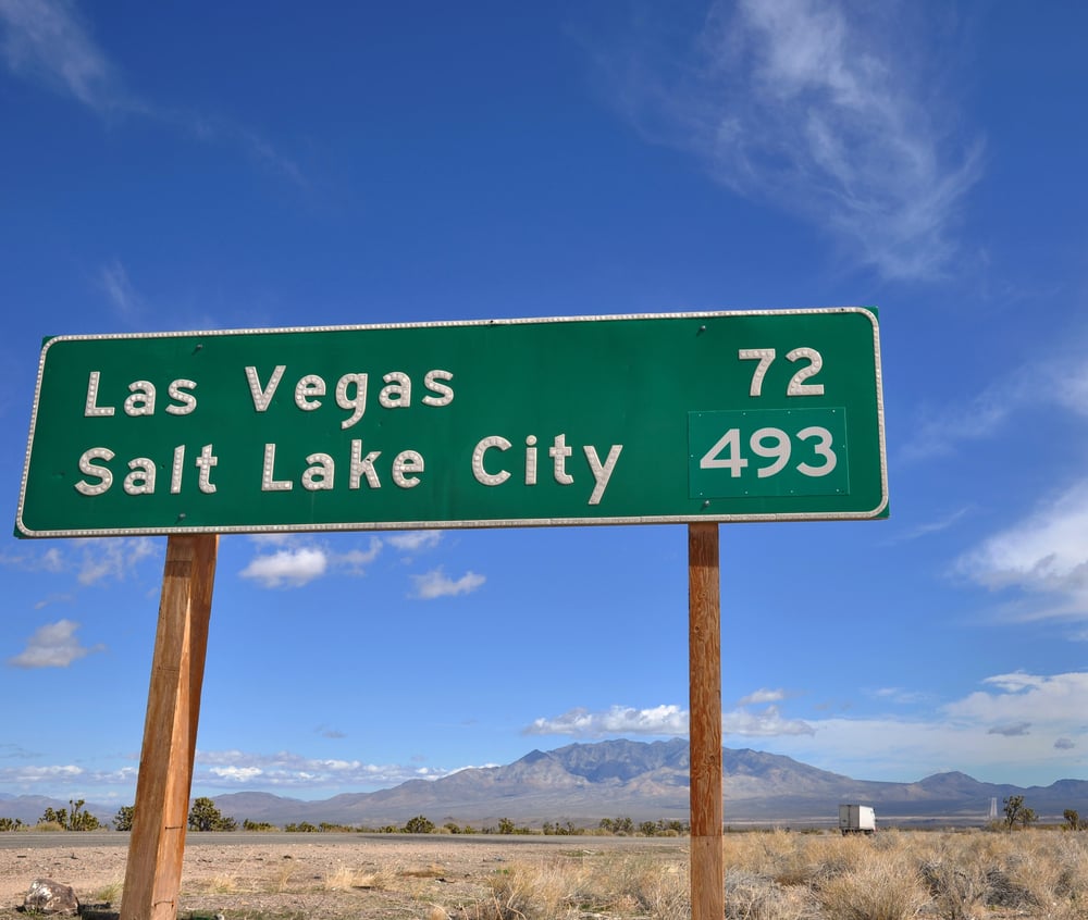
Numbered mile markers on highways served critical navigation functions for drivers trying to confirm positions and distances. Exit numbers based on mile markers provided consistency once implemented nationally.
These simple infrastructure elements represented essential navigation support that pre-GPS drivers depended on completely.
Print Guidebooks Complemented Maps
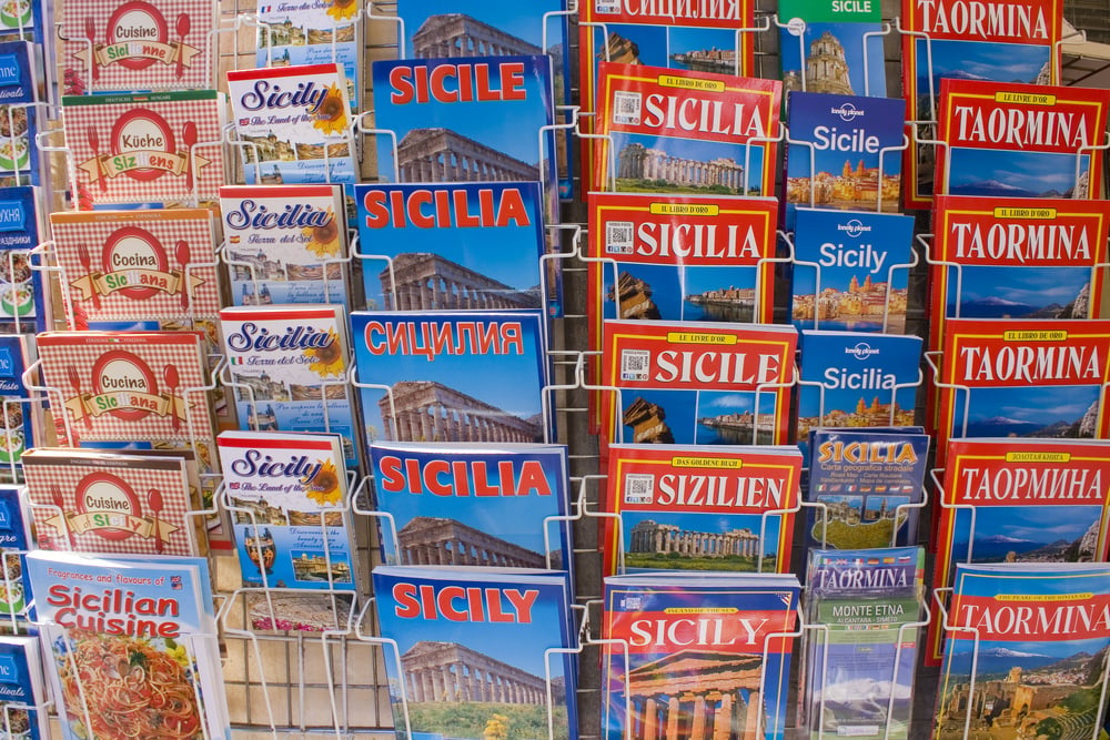
Travel guides provided narrative information about attractions, restaurants, and services along routes, complementing the spatial information provided by maps. Drivers consulted guidebooks during planning and referenced them while driving to make decisions about stops and detours.
These guidebooks represented substantial research investments by their publishers.
Passenger Reading Duties Were Serious Responsibilities
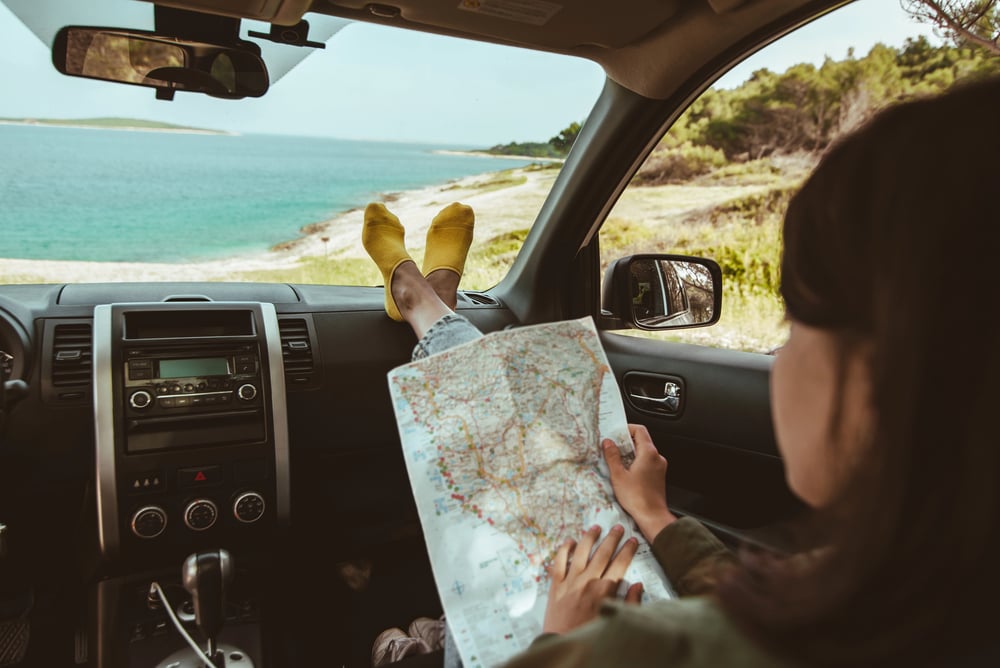
The front-seat passenger reading maps and providing navigation instructions carried genuine responsibility and required sustained attention. Passengers developed sophisticated map-reading skills and verbal communication abilities to guide drivers effectively.
Navigation errors by map-reading passengers created tension between driver and passenger.
Wrong Turns Became Adventure Stories

Navigational errors that led to unexpected discoveries often became favorite travel memories, with drivers finding unexpected restaurants, attractions, or scenic routes. While frustrating in the moment, wrong turns sometimes led to the best parts of road trips.
These stories emphasized that the journey mattered beyond reaching the destination.
Toll Booths Required Map Consultation
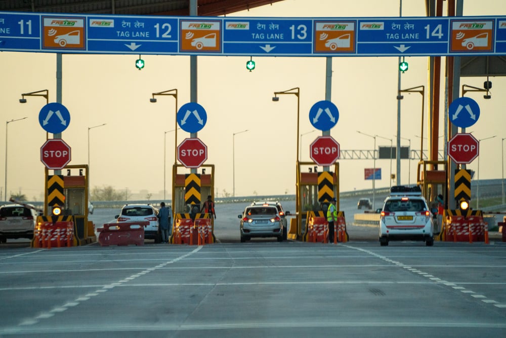
Toll road plazas with multiple payment lanes created confusion about lane selection without knowledge of which direction specific lanes served. Some toll plazas displayed directional information poorly, requiring driver judgment or asking toll collectors for lane guidance.
Toll booth interactions added stress to highway navigation.
Rest Area Browsing Was Common Behavior
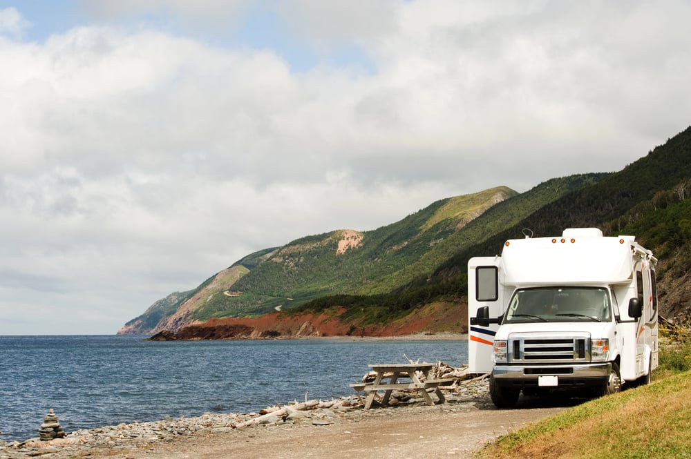
Extended stops at rest areas included careful examination of maps at information displays, reading posted notices about road conditions, and talking with other travelers about routes. These stops provided navigation updates and confirmation of route progress.
Rest areas served social functions beyond physical needs.
Travel Clubs Maintained Route Information

AAA and similar travel clubs provided routing services to members, calculating optimal routes and providing turn-by-turn directions on printed guides. These services represented early commercialization of navigation assistance.
Members valued these services as money well spent for navigation accuracy and planning support.
Family Arguments About Route Selection
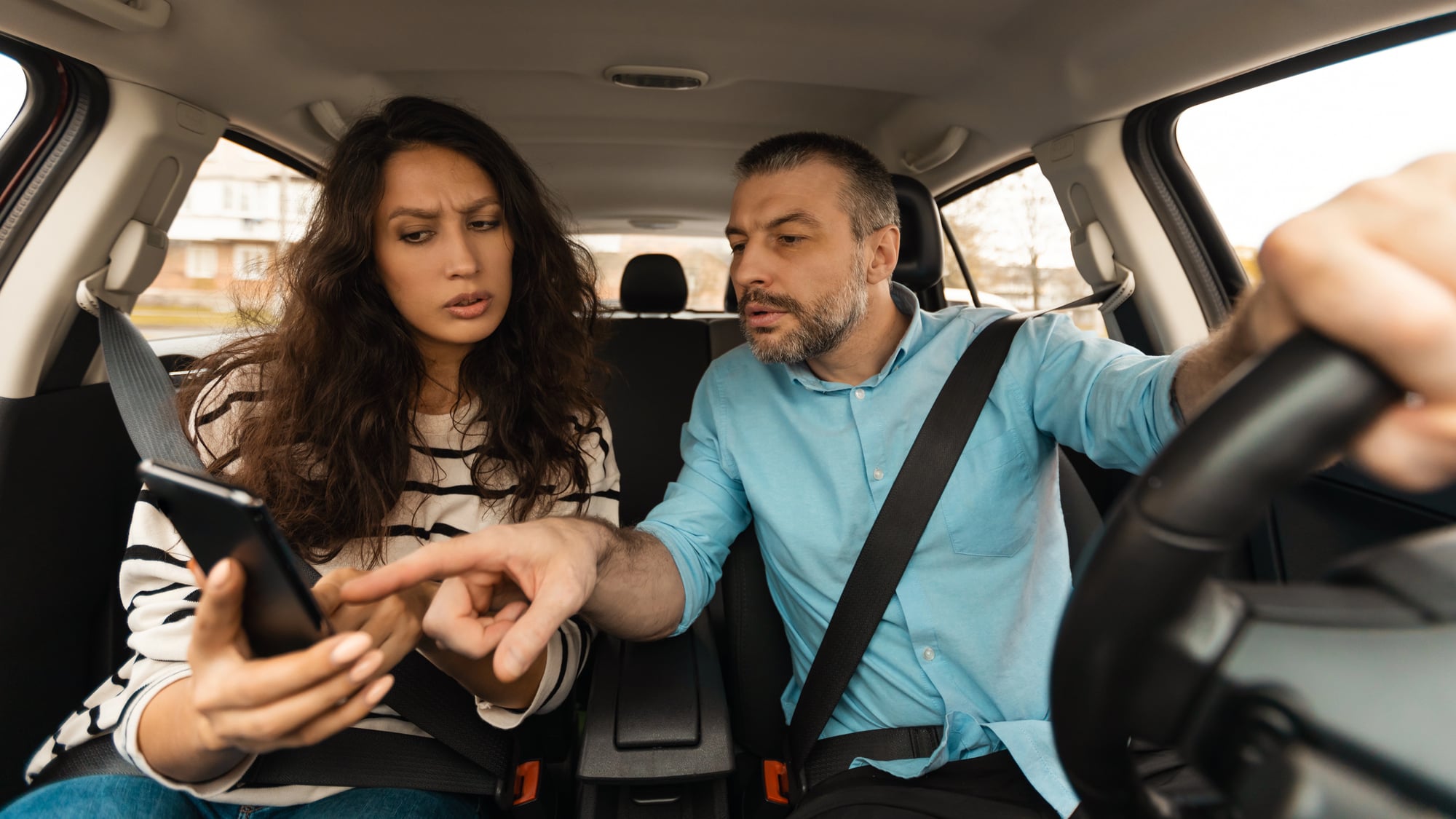
Without objective navigation algorithms, family disagreements about which route to take persisted throughout journeys, with different passengers advocating for different paths. These discussions represented genuine navigation choices without external authority to resolve disputes.
Route decisions became family decisions rather than algorithm selections.
The Skill Set Included Dead Reckoning

Experienced road-trippers developed intuitive abilities to estimate distances, recognize directional changes, and maintain mental maps of progress—essentially dead reckoning navigation skills. These skills represented learned capabilities that GPS navigation has made obsolete.
The navigation abilities required to travel successfully before GPS were genuinely substantial.
Navigation Determined Driver Confidence Levels
Drivers who excelled at map reading and spatial reasoning approached unfamiliar routes confidently, while those struggling with maps felt genuine anxiety about venturing into unknown territory. These individual differences created variations in people’s willingness to travel and explore.
Navigation competence directly influenced travel behavior in measurable ways.
More from Go2Tutors!

- The Romanov Crown Jewels and Their Tragic Fate
- 13 Historical Mysteries That Science Still Can’t Solve
- Famous Hoaxes That Fooled the World for Years
- 15 Child Stars with Tragic Adult Lives
- 16 Famous Jewelry Pieces in History
Like Go2Tutors’s content? Follow us on MSN.