28 Vintage Globes With Borders That No Longer Exist Drawing Attention From Collectors
A globe is supposed to show the world as it currently is. That was the whole point — unlike paintings or decorative objects, a globe claimed to be useful, accurate, and up to date.
The irony, then, is that the globes collectors now value most are precisely the ones that got the world “wrong”: the ones that show borders that dissolved, empires that fell, countries that split or merged or simply ceased to be.
Political geography is one of the most unstable things in human history, and any globe that was manufactured with enough care to survive 50 or 100 years has likely been made obsolete by events that were impossible to anticipate when it was produced.
This has created an unlikely collecting category — objects that were rendered factually inaccurate by history, and that are now worth considerably more than their accurate successors.
The Political Geography Timeline — How Collectors Date a Globe Without a Label
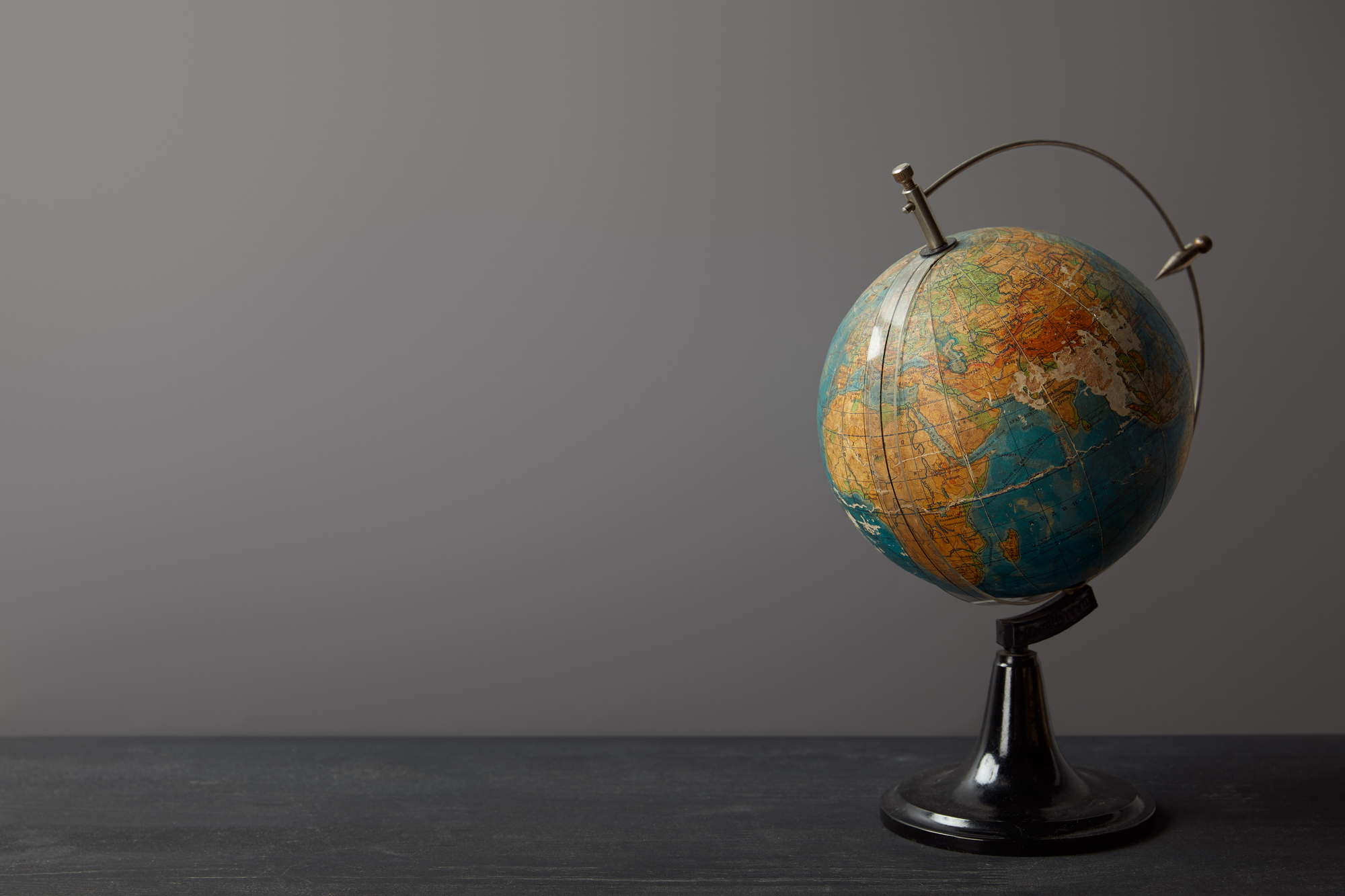
Because globe manufacturers rarely stamped their products with a production date — they were selling the idea of currency, not the admission that it might expire — collectors have developed a reliable method of dating based entirely on what the globe shows.
A globe showing the Soviet Union was made between 1922 and 1991. A globe showing a divided Germany belongs to the period 1945-1990.
Czechoslovakia on a globe means 1918 to 1993. Yugoslavia on a globe spans roughly 1929 to 1992.
Any globe showing the Austro-Hungarian Empire as a unified block dates to before 1918. The presence of British India places a globe before 1947.
Constantinople means before 1930, when Turkey officially renamed the city Istanbul. These markers function as a dating key that applies to every globe regardless of what the label says or fails to say.
The Soviet Union Globes — 1922 to 1991
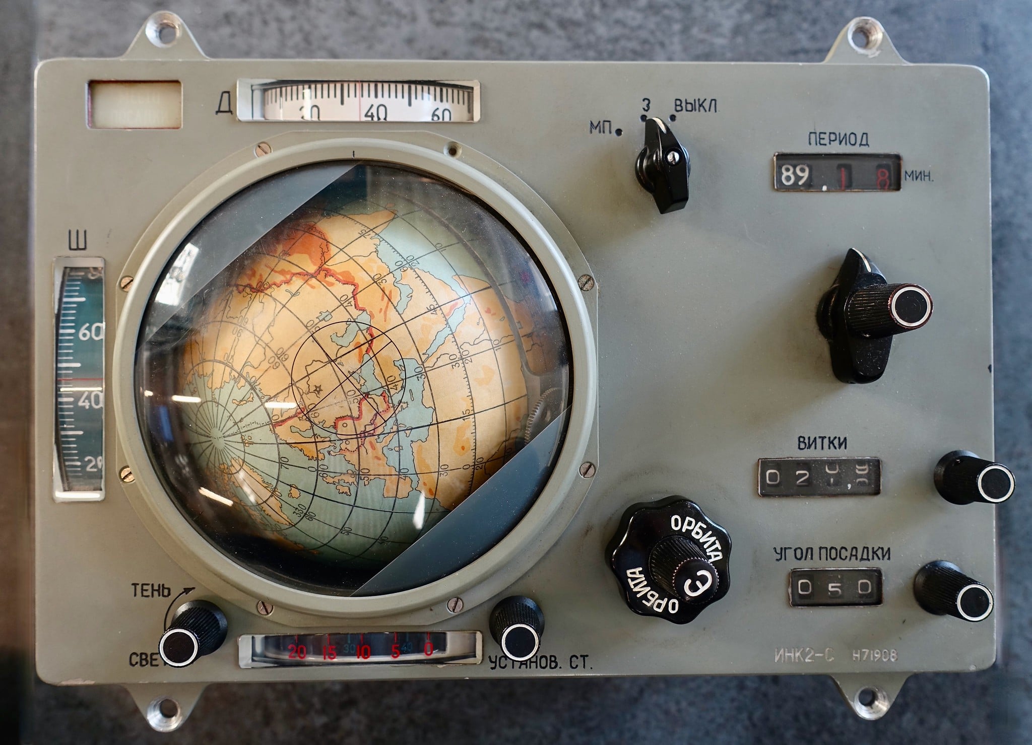
Any globe showing “USSR” or “Union of Soviet Socialist Republics” spanning the Eurasian continent was made within a 69-year window that ended in 1991 when the Soviet Union dissolved into 15 independent states.
The sheer size of the label dominates one-sixth of the earth’s surface, making it unmistakable.
Among this category, globes manufactured in the 1950s and 1960s are particularly sought by collectors who specialize in Cold War materials. They show the Iron Curtain at its most rigid, with East and West Germany both labeled, satellite states clearly delineated, and the political geography of the nuclear standoff frozen in paper and plaster.
Condition-dependent prices for mid-century Soviet-era globes in good condition typically range from $40 to several hundred dollars. Illuminated examples on the higher end.
The Austro-Hungarian Empire Globes — Pre-1918
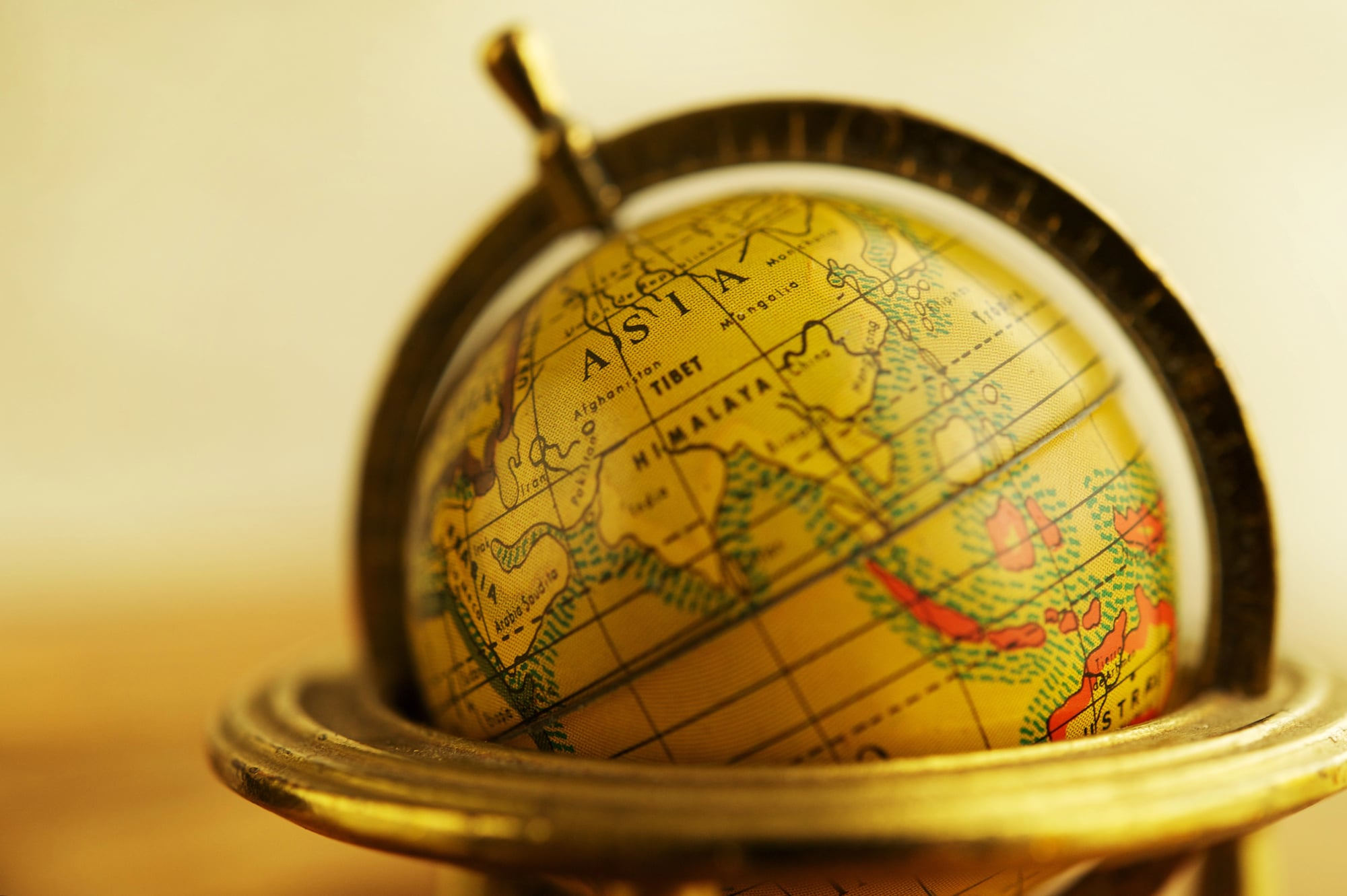
A globe showing the Austro-Hungarian Empire as a single political entity covering much of central Europe was made before the empire’s dissolution at the end of the First World War in 1918.
In the empire’s place, the Treaty of Saint-Germain-en-Laye and related agreements created Austria, Hungary, Czechoslovakia, Yugoslavia, and significant portions of Poland and Romania, among other states.
Globes from the late 19th and early 20th centuries showing the double-headed eagle’s domain intact are relatively scarce among surviving examples. They are prized both for their age and for the political geography they preserve.
The best examples in this category are typically European-made, often German or British. They command substantially higher prices than more recent specimens.
Yugoslavia — A Country That Lived and Died in the 20th Century
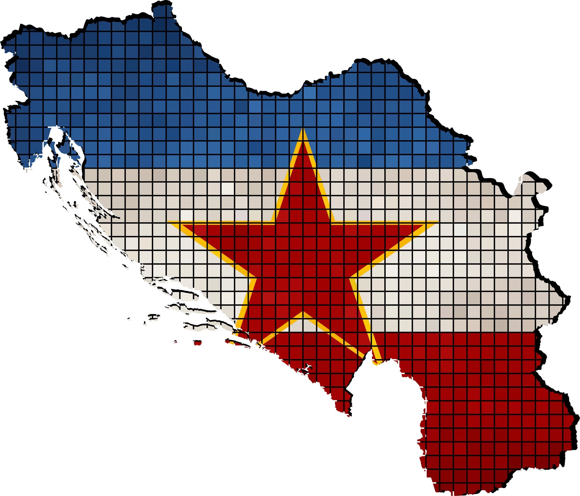
Yugoslavia as a political entity was born in 1929 (though its predecessor state, the Kingdom of Serbs, Croats and Slovenes, dates to 1918) and dissolved violently in a series of conflicts from 1991 to 1992, with some legal questions persisting until Kosovo’s 2008 declaration of independence.
Any globe showing Yugoslavia as a single country on the Adriatic coast of the Balkans falls within that window.
Globes from the 1970s showing a unified Yugoslavia alongside the Soviet Union and a divided Germany capture a particular Cold War moment that no longer exists anywhere on the ground.
These are among the more commonly found “wrong border” globes in estate sales, having been produced in large quantities during Yugoslavia’s most stable decade.
British India and the Raj — Anything Before 1947
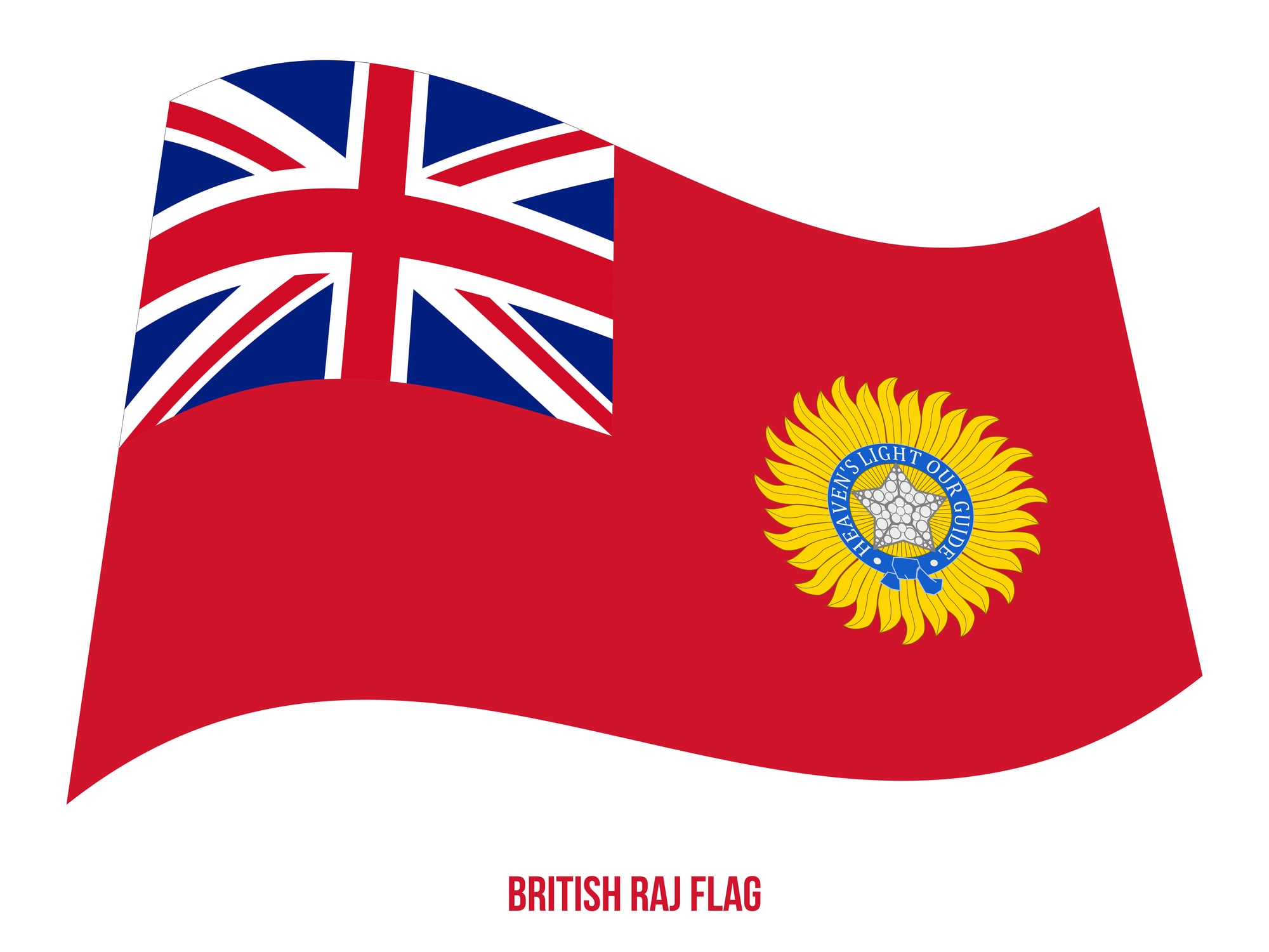
Globes showing India, Pakistan, and what is now Bangladesh as a single political entity under British administration were manufactured before August 1947, when the subcontinent was partitioned.
The label “British India” covering the entire territory identifies a globe made in the colonial era.
Within the collecting world, globes from the interwar period showing British India alongside British Malaya, Rhodesia, and the other surviving components of the empire offer a comprehensive visual record of what the British Empire looked like at its 20th-century peak.
Still covering roughly a quarter of the earth’s land surface, its pink (or sometimes red) expanse dominating any globe that shows it.
The Weber Costello Black Ocean Globes — Sought-After American Craftsmanship

The Weber Costello Company of Chicago Heights, Illinois produced globes from the late 19th century into the mid-20th century using traditional materials — plaster cores, paper gores, metal stands — and a distinctive cartographic style that collectors have come to associate with the craft’s pre-industrial quality.
Their black ocean globes, which use a black background for the oceans to make political boundaries and coastlines pop, are particularly prized.
A Weber Costello globe from 1921 showing the Art Deco styling of that era, with the Ottoman Empire’s remnants just being reorganized into modern Turkey, commands prices well above typical mid-century specimens.
Good examples in pre-war condition regularly trade at $200 to $400.
The Ottoman Empire — Anything Showing Pre-1923 Turkey
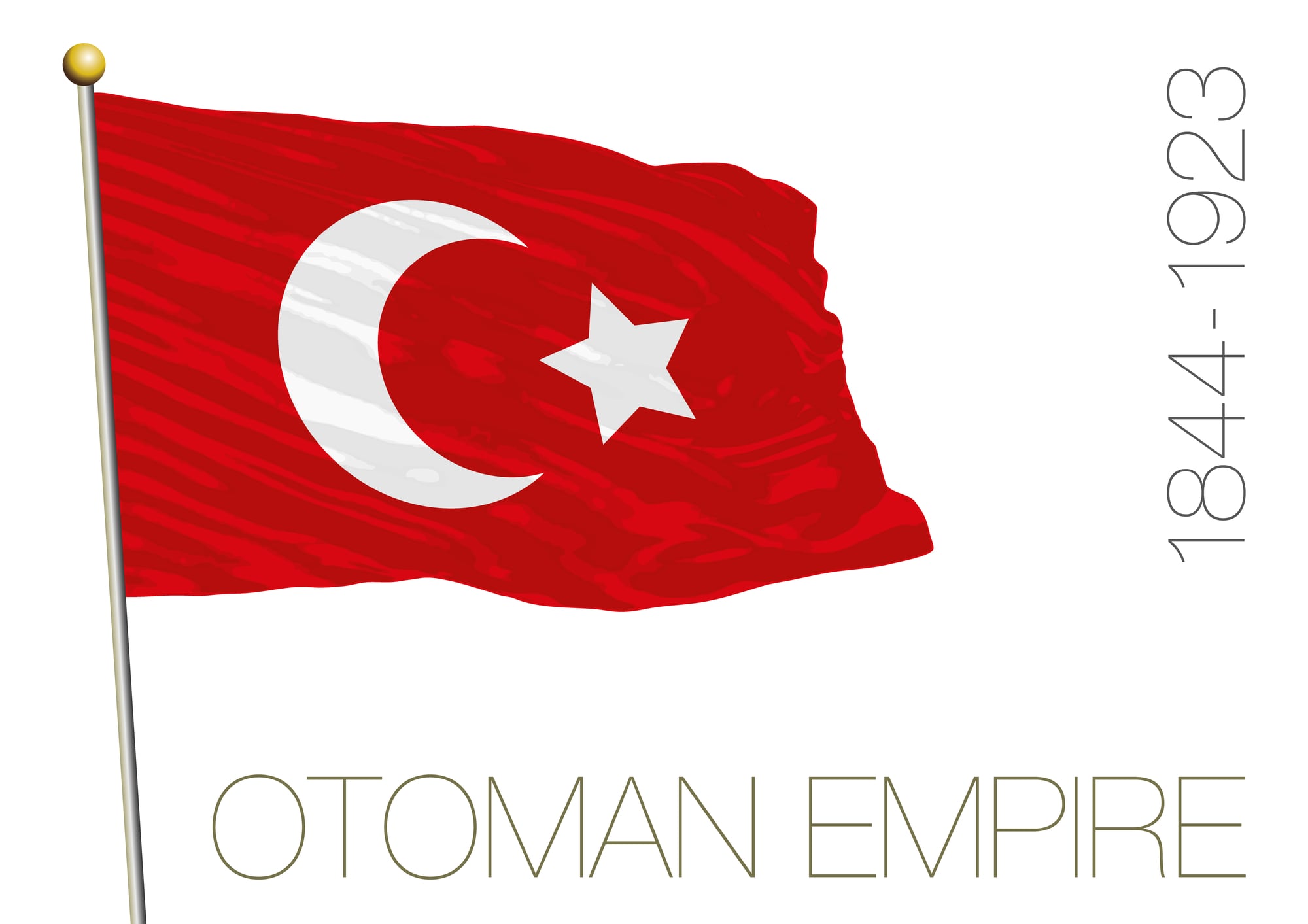
The Ottoman Empire, which at its peak controlled vast territories from the Balkans to Mesopotamia, appeared on globes as a major power until its formal dissolution in 1922-1923, when the Republic of Turkey was declared and the remaining territories were partitioned.
Any globe showing the Ottoman state as a living entity was made before the empire’s end.
These globes typically also show a different Middle East: no Iraq, no Syria, no Jordan, no Saudi Arabia in their modern forms.
The entire region is organized under names and borders that do not correspond to any current political reality.
A globe showing the Ottoman Empire in decent condition is typically an early 20th-century or late 19th-century piece. It commands substantial collector interest.
The Blaeu Globes — The $793,000 End of the Market
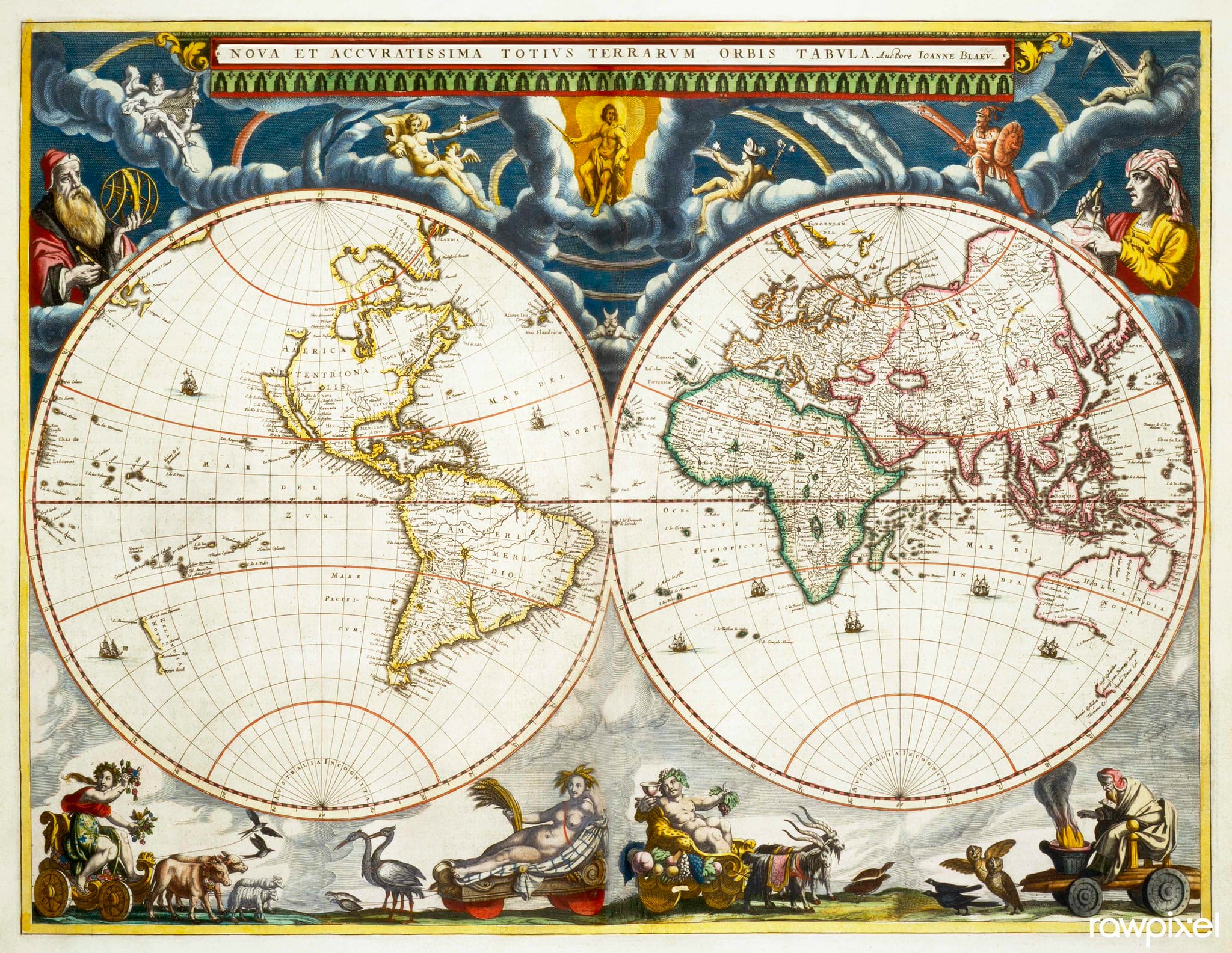
At the extreme high end of globe collecting sit the products of the great 17th-century cartographers.
Willem Blaeu (1571-1638) produced terrestrial and celestial globes that were simultaneously scientific instruments, works of art, and diplomatic gifts — purchased by monarchs and wealthy merchants as demonstrations of worldly sophistication and political command.
Blaeu’s globes feature sea monsters in the oceans, the Great Wall of China carefully depicted, and the signs of the zodiac on the celestial versions.
In 2008, a pair of Blaeu library globes sold at Christie’s for €793,000 — far exceeding the pre-sale estimate of €200,000 to €300,000 — making them the most expensive works of art sold at auction in the Netherlands at that time.
These are museum-quality pieces that almost never appear in general circulation.
Rand McNally Art Globes — The Collectible American Standard
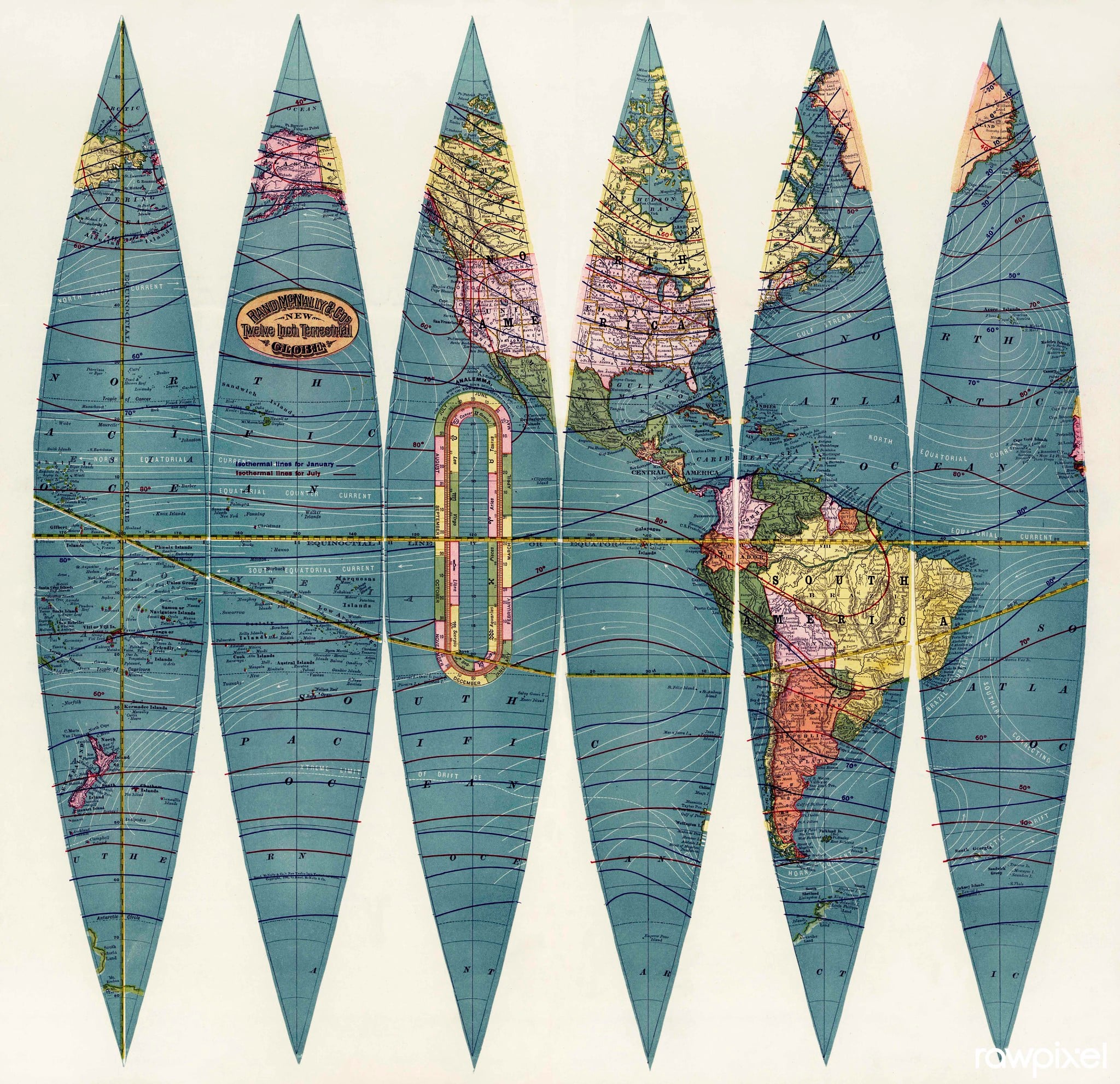
Rand McNally’s “Art Globe” line, produced from the late 1930s through at least the 1970s, appeared in multiple sizes, base configurations, and editions — making it one of the most varied collecting categories in American globe history.
Pre-war examples, those produced between the late 1930s and 1945, show a world still in the process of reorganization after the First World War: Persia becoming Iran, Ethiopia briefly labeled as Italian East Africa, the borders of central Europe shifting under German expansion.
These pre-war editions on Art Deco glass or Bakelite bases are among the most desirable in the line. They typically trade at $100 to $300 in good condition.
Floor-standing versions are rarer and command more.
Replogle Globes — The Illuminated Mid-Century Collector’s Piece
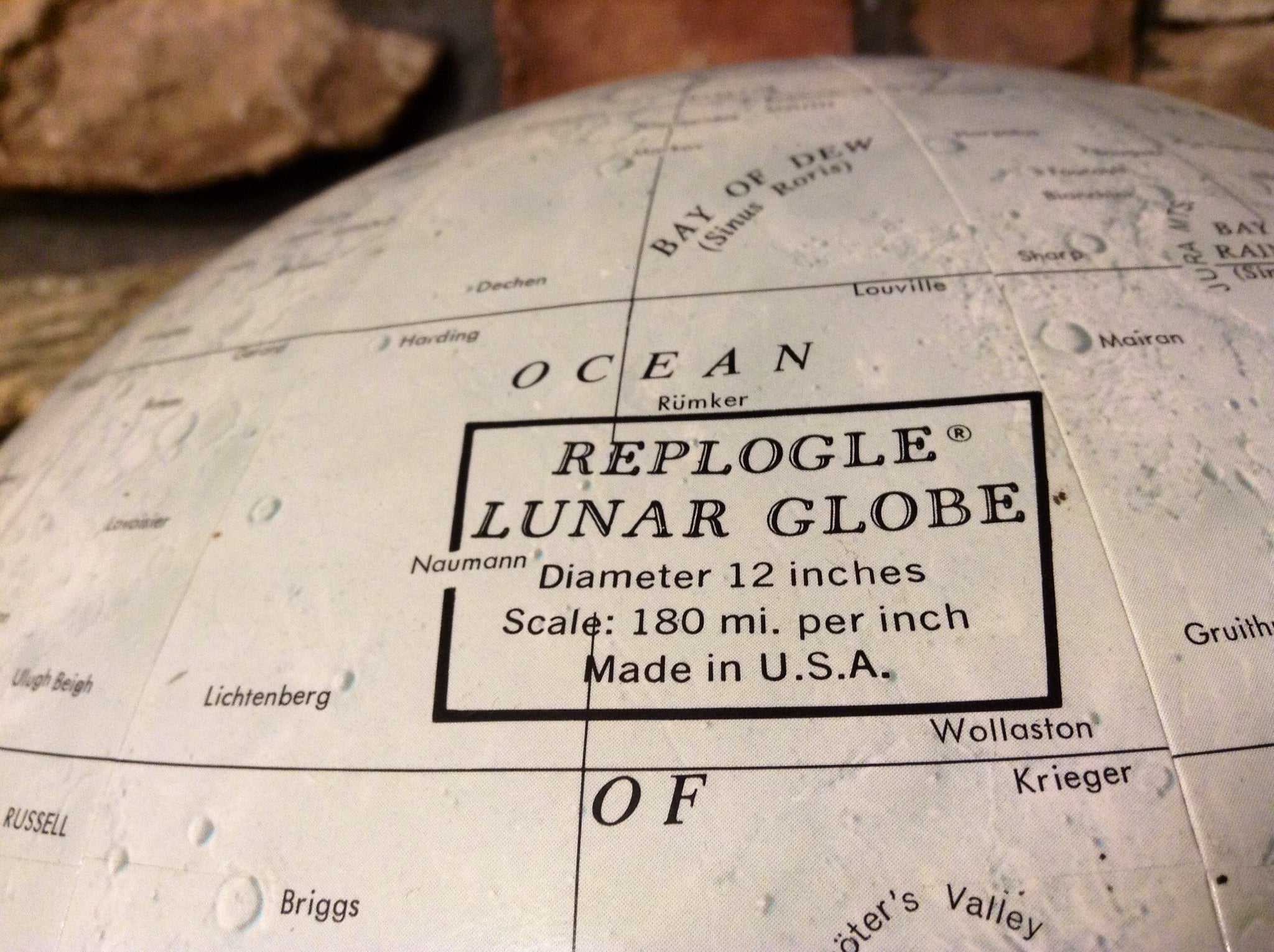
The Replogle Globe Company of Chicago produced some of the most widely recognized mid-century American globes, including illuminated models designed to glow when switched on.
A Replogle floor globe from the 1960s on a cantilever teak frame belongs to a specific moment in American domestic design, and the political boundaries it shows — the Soviet Union, a divided Germany, Rhodesia, British Guiana, Ceylon — are themselves historical documents.
A 1930s Replogle illuminated globe with brass meridian, intact map surface, and working internal light sold at a specialist auction for over $2,500.
Reflecting the premium that condition and the illumination feature command over standard desk models.
Czechoslovakia — 1918 to 1993
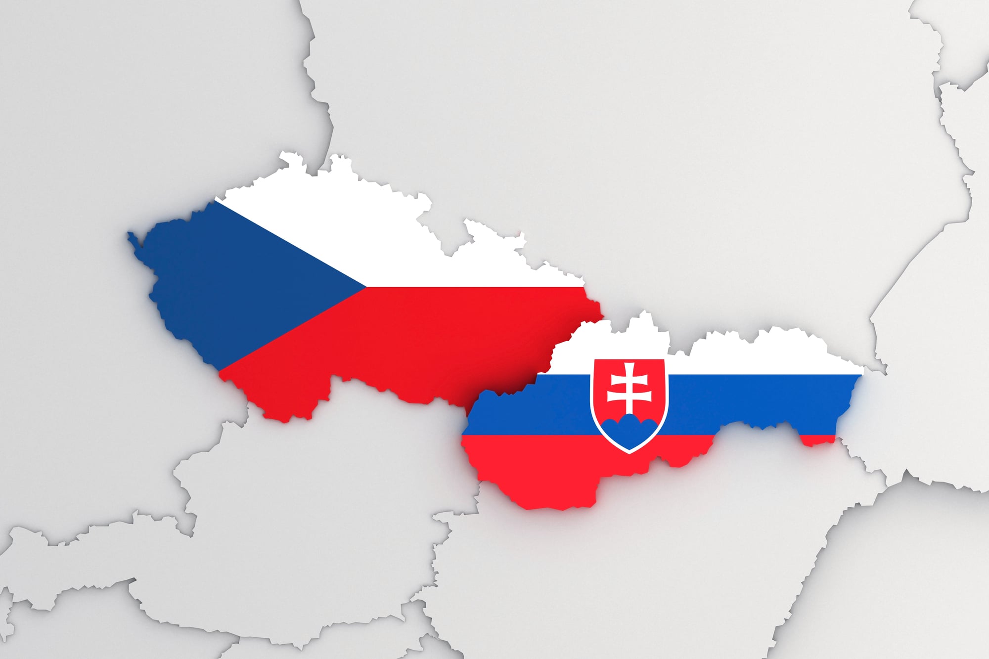
Czechoslovakia appeared on maps and globes from its creation in 1918 as a result of the First World War’s redrawing of central Europe, through its occupation by Nazi Germany in 1939, its restoration after 1945, its decades under Communist governance, and finally its peaceful “Velvet Divorce” in 1993 when it separated into the Czech Republic and Slovakia.
Any globe showing Czechoslovakia as a unified state was made within that 75-year window — a long enough period to encompass a considerable variety of globe styles, manufacturers, and markets.
Cold War-era globes showing Czechoslovakia alongside other Warsaw Pact states capture a political geography that dissolved within living memory.
German Colonial Africa — The Pre-1914 Category

Germany’s African colonies — German East Africa (now Tanzania, Rwanda, and Burundi), German South West Africa (now Namibia), Cameroon, and Togoland — existed from the 1880s until the First World War, when they were confiscated and redistributed as League of Nations mandates primarily to Britain and France.
Any globe showing “Deutsch Ostafrika” or “Deutsch Südwestafrika” was made before 1920.
These are early 20th-century pieces at the youngest, and the German colonial labels on an African continent still largely controlled by European powers create a dramatically different visual impression than any modern globe.
German-manufactured globes from this period, produced in considerable quantity for educational use, are occasionally found in European estate sales.
Tannu Tuva — The Tiny Country Almost Nobody Remembers
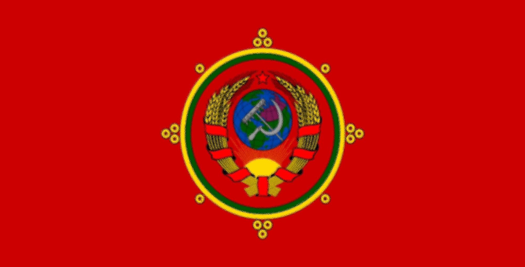
Tannu Tuva was a nominally independent state sandwiched between the Soviet Union and China from 1921 until 1944, when it was absorbed into the Soviet Union as an autonomous republic.
It is remembered primarily because its unusual-sounding name and distinctive diamond-shaped postage stamps attracted the attention of American physicist Richard Feynman, who spent years trying unsuccessfully to visit it before his death in 1988.
On a globe, the label “Tannu Tuva” in the region now marked as the Tuva Republic of Russia is a distinctive and relatively rare feature.
It requires a globe made between 1921 and 1944, which already narrows the field considerably.
The intersection of physical rarity, unusual history, and celebrity scientific interest has given Tannu Tuva a disproportionate presence in the culture of globe collecting.
The Siam-to-Thailand Transition — 1939
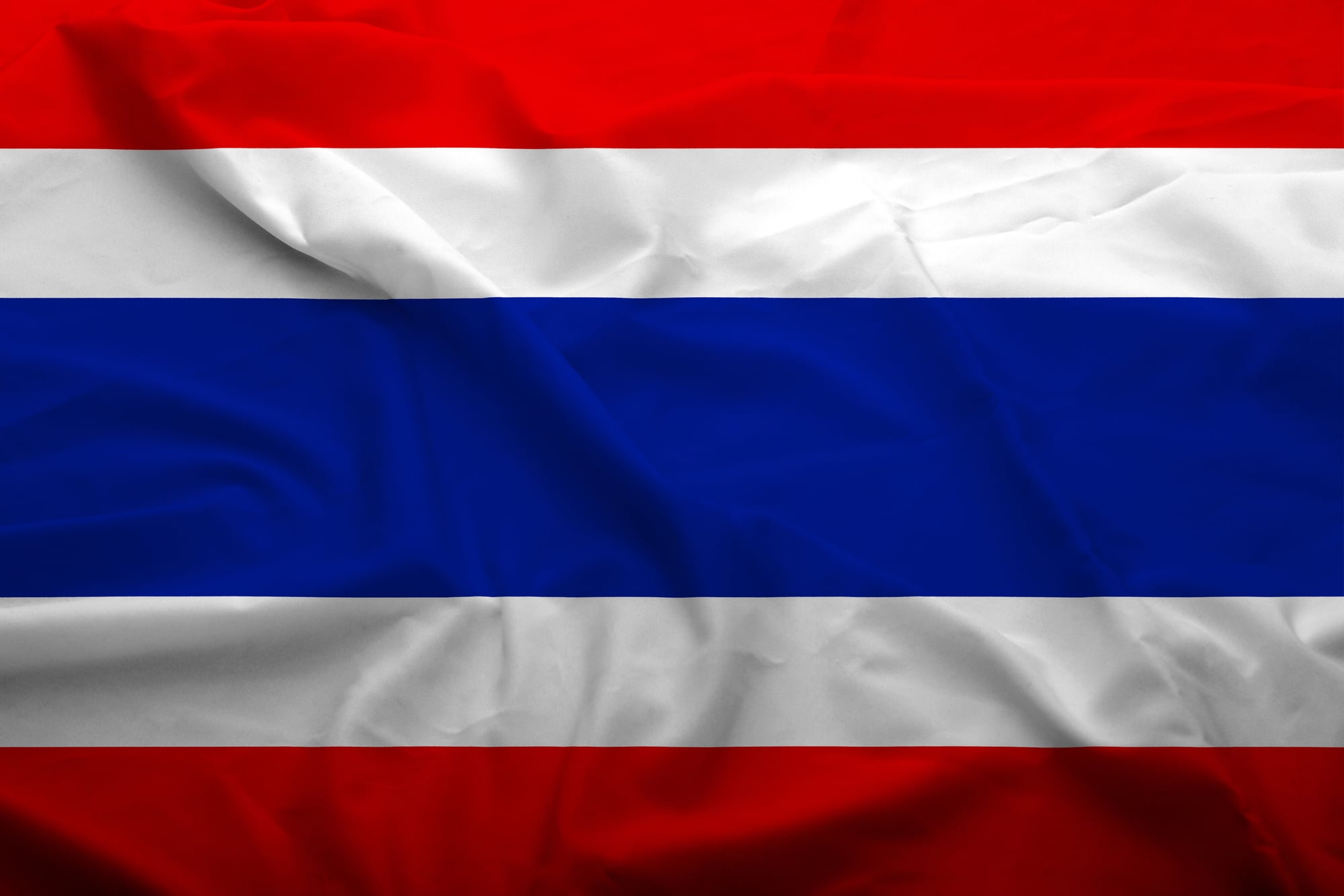
Thailand was officially known as Siam until 1939, when the name was changed by Prime Minister Plaek Phibunsongkhram as part of a nationalist modernization program.
Any globe showing “Siam” rather than “Thailand” in Southeast Asia was therefore manufactured before that year.
The existence of Siam alongside French Indochina and British Malaya in their colonial forms places a globe squarely in the late colonial period.
The political map of Southeast Asia bore almost no resemblance to its current form.
The visual difference between a pre-1939 Southeast Asia and the modern region — Vietnam, Cambodia, Laos, Malaysia, and Thailand in place of Indochina, Siam, and British Malaya — is substantial enough to make these globes dramatically different documents from anything produced later.
The Leningrad Problem — 1924 to 1991
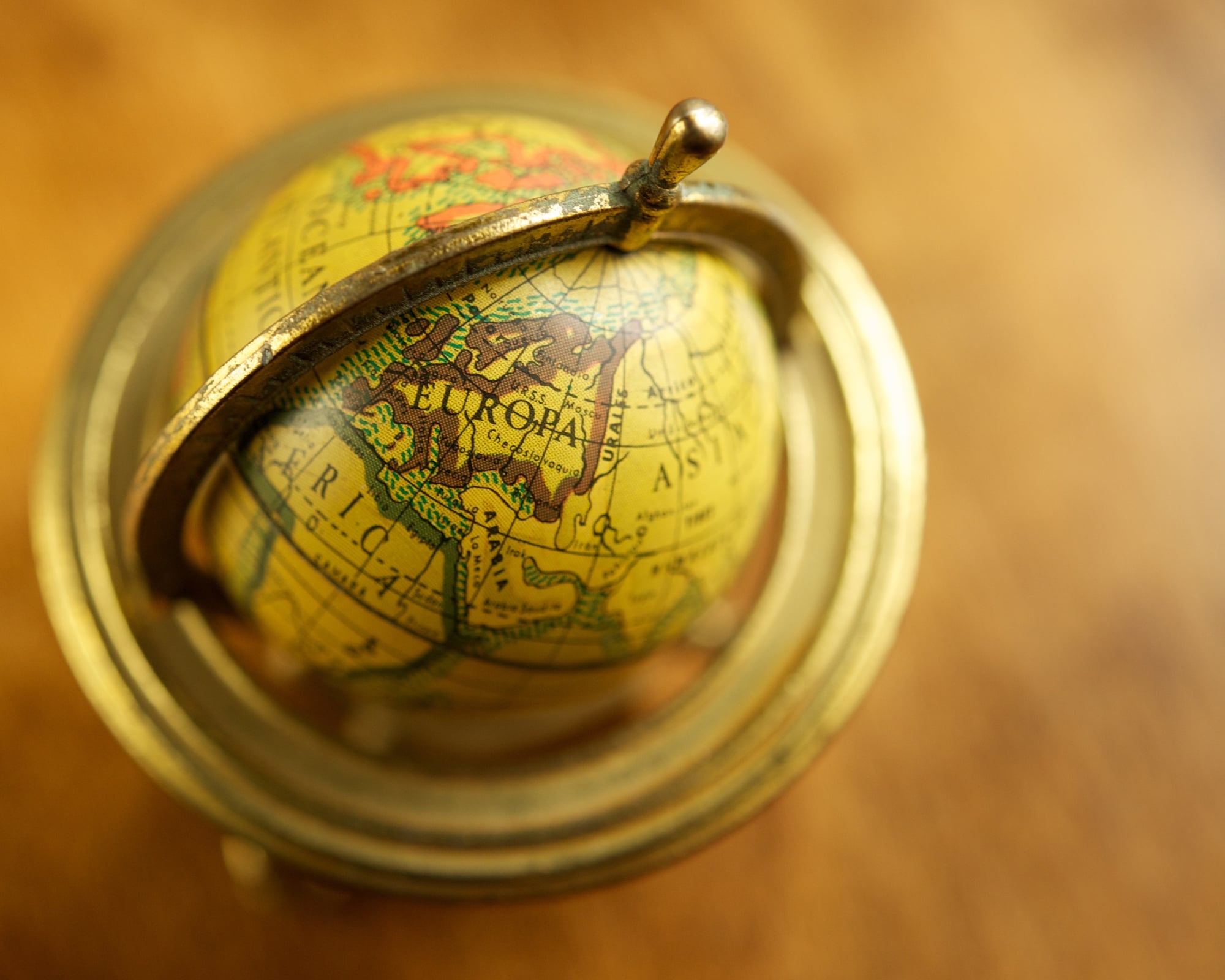
Petrograd was renamed Leningrad in 1924, following Lenin’s death, and reverted to its original name of St. Petersburg in 1991.
A globe showing “Leningrad” is therefore a Cold War artifact by definition, pinpointing it between two dates that bracket most of the 20th century’s political drama.
This particular label appears in thousands of surviving globes and serves as one of the most easily recognized markers in the collector’s dating toolkit.
More specifically, a globe showing “Leningrad” with a still-divided Germany and a unified Soviet Union was almost certainly produced in the 1960s or 1970s.
The period when globe production was highest and when the political geography those labels describe was at its most stable.
The Gold Coast and Ashanti — Pre-1957
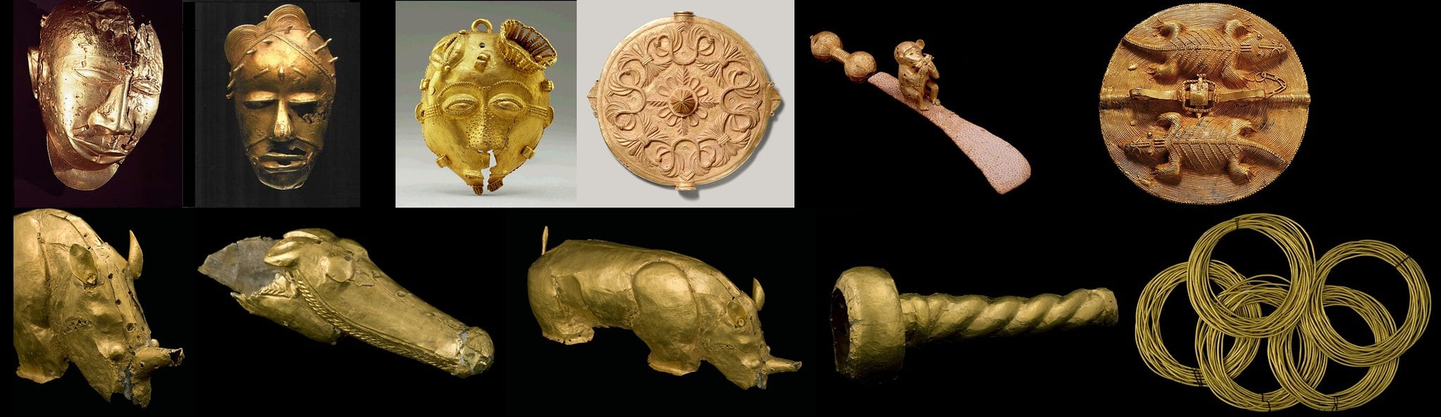
Ghana was known as the Gold Coast under British colonial administration until 1957, when it became the first sub-Saharan African country to achieve independence from colonial rule.
The label “Gold Coast” or “Ashanti” on a globe of West Africa identifies a piece made before that landmark date.
In the decade following Ghanaian independence, dozens of other African countries followed suit, making the early 1960s one of the most dramatic periods of border change in the continent’s mapped history.
A globe that shows pre-independence West Africa as a patchwork of British, French, and Belgian colonies bears almost no resemblance to a globe showing the same region a decade later.
French Equatorial Africa and French West Africa — Pre-1960
France administered large portions of central and western Africa as two territorial federations — French Equatorial Africa and French West Africa — until a wave of independence movements in 1960 created more than a dozen new countries in a single year.
A globe showing these two vast federated territories dominates a significant portion of the African continent with a cartographic simplicity that dissolved within months of a single year.
The labels “Afrique Équatoriale Française” or “Afrique Occidentale Française” identify a globe made before the 1960 transitions.
The contrast with the modern patchwork of independent states in the same region is particularly striking.
Belgian Congo — Pre-1960
The Belgian Congo, one of the most notoriously exploitative colonial administrations in African history, became independent in 1960 as the Republic of the Congo, later renamed Zaire by President Mobutu in 1971, and now known as the Democratic Republic of the Congo.
Any globe showing “Belgian Congo” in central Africa predates 1960.
Given the Congo’s size — it is the second-largest country in Africa by area — its label is one of the most visible on any globe of the continent.
The change from “Belgian Congo” to any of its subsequent names marks a clean historical transition point that collectors can use with confidence.
Persia — Globes Pre-Dating 1935
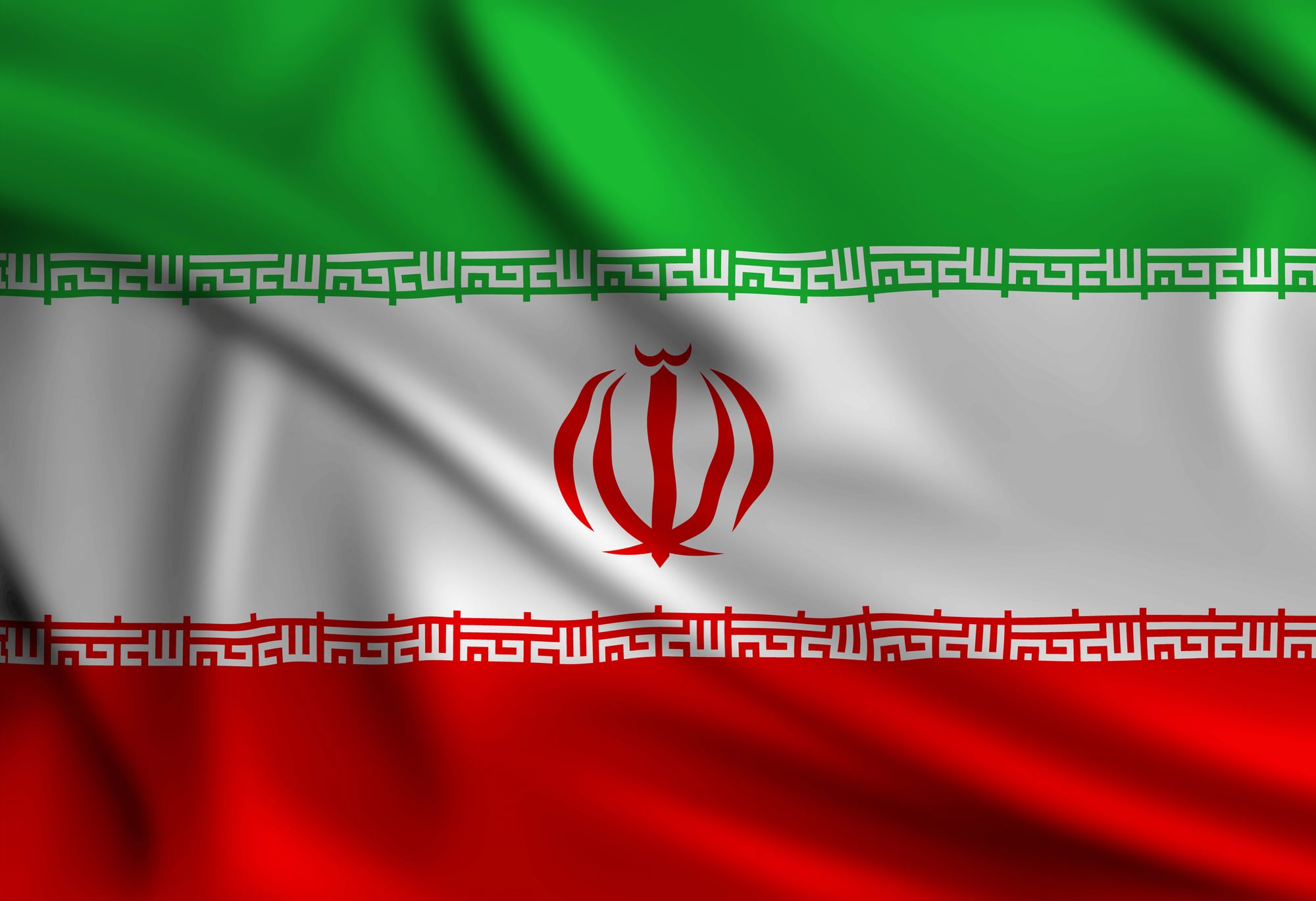
The country now known as Iran was called Persia on maps and globes until 1935, when Reza Shah Pahlavi formally requested that foreign governments use the name “Iran” — the name the country’s own inhabitants had long used.
A globe showing “Persia” rather than “Iran” in the Middle East was therefore made before 1935.
This is a relatively early cutoff, meaning that globes featuring Persia are typically pre-war pieces with the higher age and craft quality associated with that period.
American-made globes from this era are particularly noted for having continued to use “Persia” for a few years after German manufacturers had already updated their cartography to show “Iran.”
Northern and Southern Rhodesia — Pre-1964 and Pre-1965
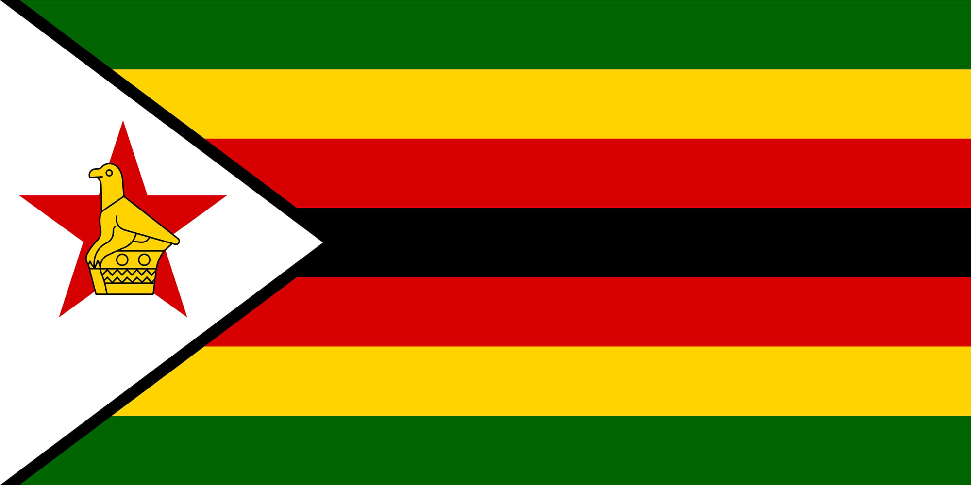
Northern Rhodesia became Zambia in 1964 when it achieved independence from British administration, and Southern Rhodesia (later Rhodesia, then Zimbabwe-Rhodesia) became Zimbabwe in 1980.
A globe showing “Northern Rhodesia” and “Southern Rhodesia” captures the last years of British central African colonial administration.
A globe showing “Rhodesia” without the “Northern” prefix is a narrower window, placing it between 1964 and 1980.
Precisely the years of the unilateral declaration of independence and the subsequent Rhodesian Bush War.
These are Cold War artifacts that locate themselves in a specific, contested moment in southern African political history.
The Pocket Globes — 18th-Century Engineering in the Palm of Your Hand
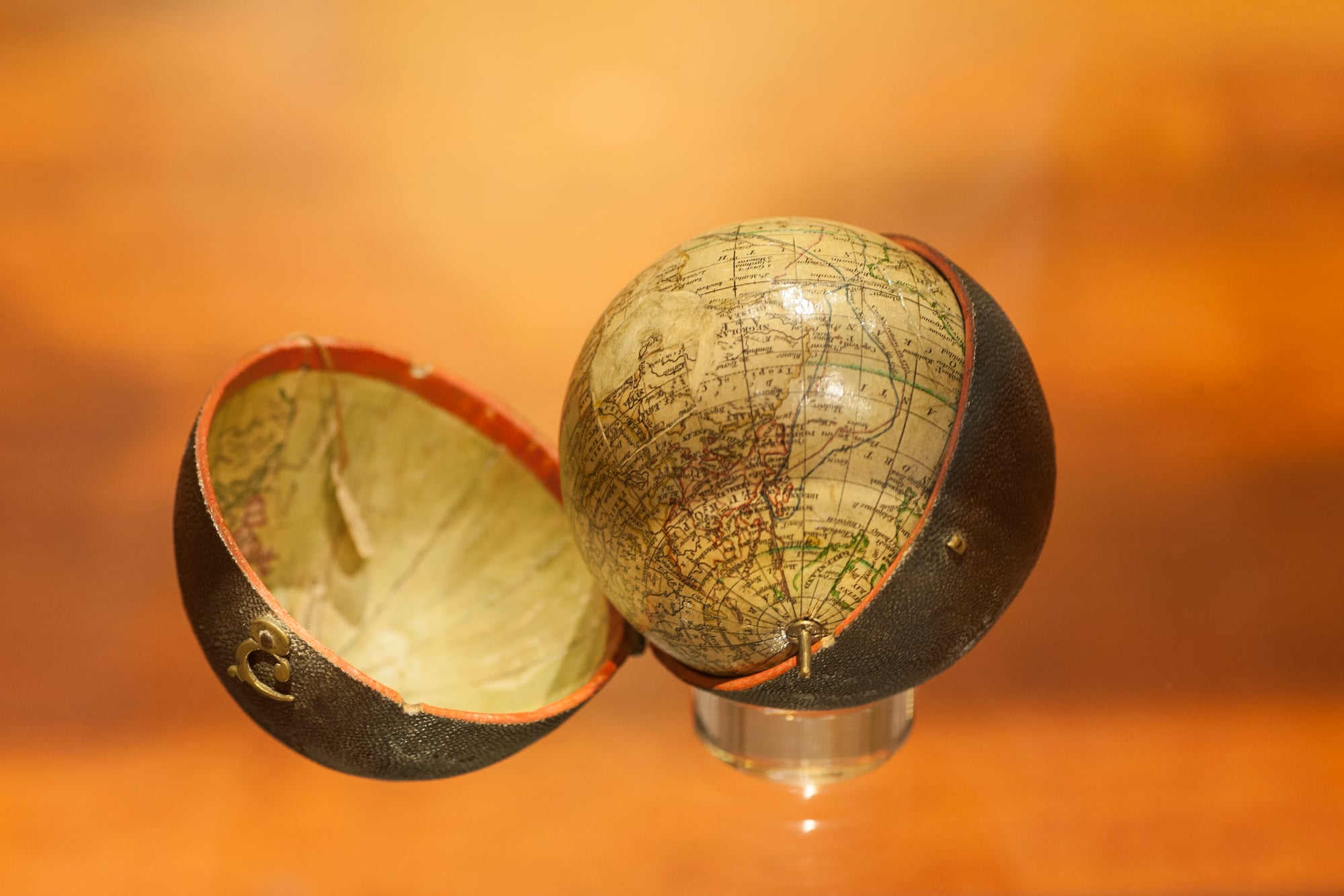
Pocket globes, produced primarily in the late 18th century, are among the most unusual surviving globe forms: small spheres, typically about three inches in diameter, designed to fit in the pocket and serve as portable geographic references.
They typically came in a fitted leather case whose interior was printed with a celestial map, creating a matching terrestrial and celestial globe set that could fit in a coat pocket.
The interior of the case also often showed the constellations.
One example by Lane’s Improved Globe London, probably produced by Nicholas Lane, sold for several thousand dollars at auction.
These are the most technically impressive of all antique globes for their scale, and their political geography is frozen in the 18th century’s rapidly shifting colonial world.
The Celestial Globes — Mapping the Sky That Never Changes
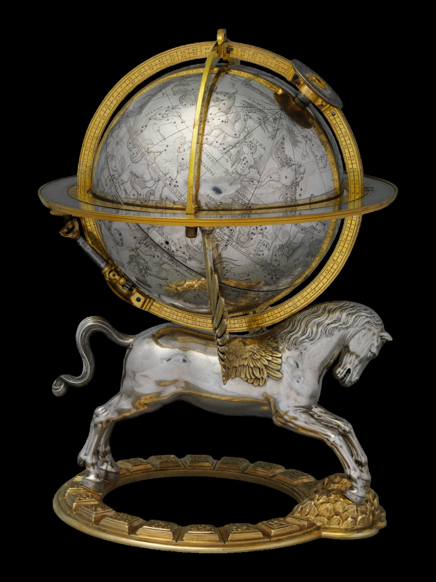
Unlike terrestrial globes, celestial globes depicting the stars and constellations do not become politically obsolete in the same way — the stars are still there.
What they preserve instead is the 17th- and 18th-century understanding of the celestial sphere: the star names, the constellation figures, and the astronomical knowledge of their era.
Collector interest in celestial globes has grown significantly, partly because they avoid the condition problems associated with the paper gores covering terrestrial globes (which tend to peel and yellow), and partly because the objects themselves are visually striking and relatively conversation-proof for buyers who want decoration as much as history.
A 1960s Torica celestial globe with its original box sold for £820 on 1stDibs. A Philip’s celestial globe on a Bakelite stand went for £340 at a British regional auction.
The 17th-Century Dutch Trade Globes — Status Objects for Merchant Families
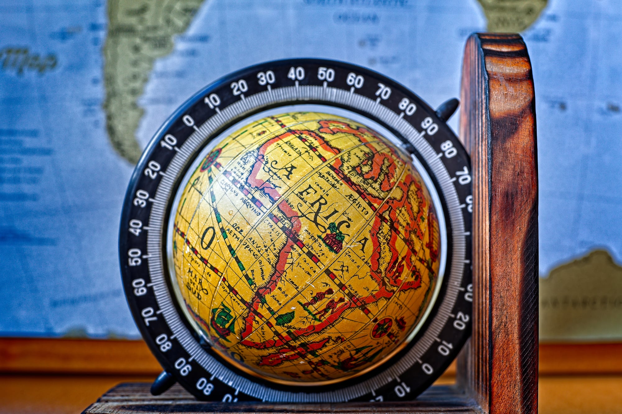
The great Dutch globe-making firms of the 17th century — Blaeu, Van Langren, Hondius, and their successors — produced globes not primarily as educational tools but as status objects: evidence of their owners’ engagement with the world of international commerce and geographic knowledge.
Dutch merchant families displayed matched pairs of terrestrial and celestial globes in their libraries as a demonstration of cultivated awareness.
These globes depicted a world still being explored and mapped, with coastlines whose roundedness indicated uncertainty and interiors largely blank.
They are almost entirely in institutional collections now. Genuine examples appearing at auction are rare enough to generate significant competition.
The Globe Cocktail Cabinets — Function and Geography Combined
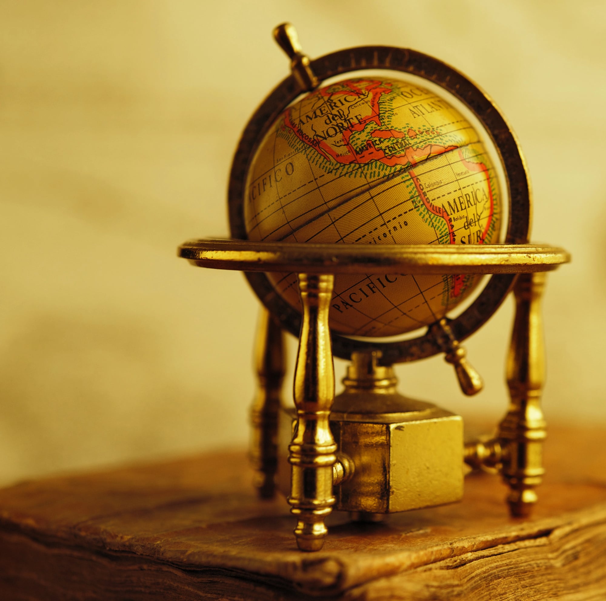
A specific mid-20th-century category within globe collecting consists not of display or educational globes but of globe-format cocktail cabinets: large spheres mounted on stands that open to reveal a bar interior fitted for bottles and glassware.
These functional objects preserve the political geography of their manufacture date on their exterior while serving an entirely different purpose on their interior.
A vintage globe cocktail cabinet sold at Vinterior for £540, making it among the more accessible entries in the decorative globe market.
These are primarily objects of interior design, but their exteriors are as historically significant as any educational globe from the same period.
How Condition Drives Value — The Specifics Collectors Watch
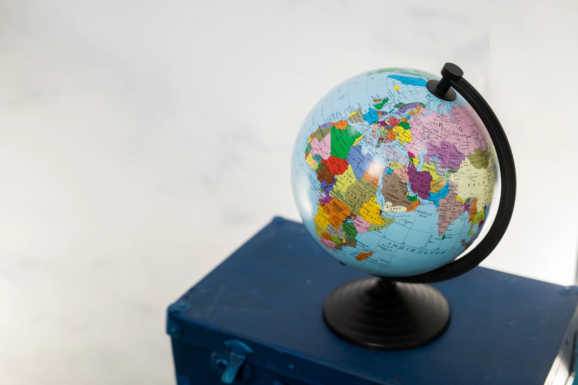
The collectible globe market operates on a condition hierarchy that is more demanding than most antique categories.
The critical vulnerabilities of most vintage globes are the paper gores — the printed paper sections applied to the sphere’s surface — which tend to yellow, crack, peel, and split at the seams over time.
A globe with even one substantial tear or missing section loses significant collector value.
Chrome pitting on metal meridian rings is another common degradation.
Equatorial tape peeling or missing reduces desirability substantially.
The base, whether wood, Bakelite, metal, or glass, should be present and intact.
The manufacturer’s label, if any, adds to value and should remain legible.
All of these factors condition-adjust the price from what might otherwise be the base expectation for a piece of that age and type.
The Estate Sale Arbitrage — Finding Value Before Others Do
The most consistently reported entry point for serious vintage globe collectors is the estate sale, where globes are frequently sold without specialist knowledge of their significance.
A globe labeled “USSR” in a 1960s household can be purchased for tens of dollars by someone who recognizes it as a Cold War artifact and resold to a specialist collector at a significant multiple.
The key indicators estate sale buyers look for: the presence of countries or borders that no longer exist, manufacturers with strong collector followings (Rand McNally, Weber Costello, Replogle, Cram’s, National Geographic), illumination mechanisms that still function, and intact bases and meridian rings.
The most valuable finds are rarely the ones that look expensive — they are the ones where the geography on the surface is old enough to be wrong.
What Globes Preserve That Maps Cannot
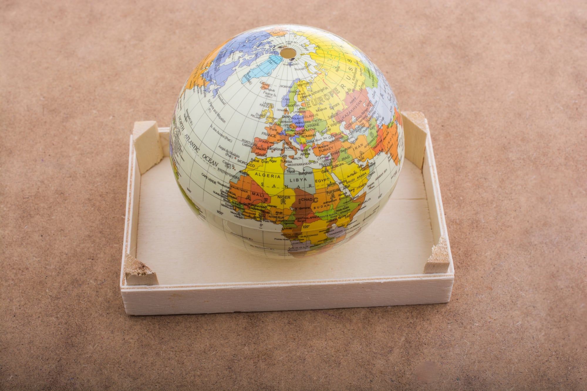
The collecting interest in vintage globes rests on something that distinguishes them from flat maps: the globe format makes the political geography of the past impossible to misread as anything other than what it was.
On a flat map, you can zoom to a region, ignore the surrounding context, or focus on a specific area.
On a globe, the entire planet is visible in its political organization at the moment of manufacture.
The Soviet Union’s domination of the Eurasian continent is viscerally present in a way that no map projection can quite convey.
The fragmentation of Africa into colonial territories, occupying a sphere’s entire southern hemisphere, demands attention in a way that a portion of a flat map does not.
What collectors are preserving, when they seek out globes whose borders no longer exist, is a three-dimensional record of how the world organized itself politically — and how thoroughly, and how repeatedly, that organization has changed.
Why the Wrong Borders Became the Right Collectible
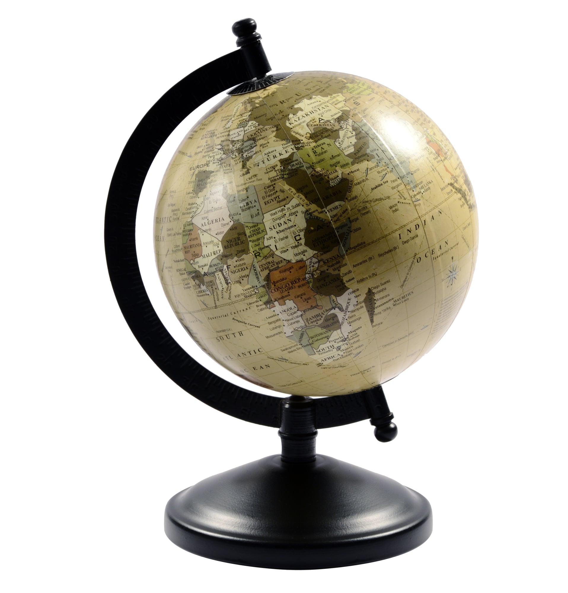
The paradox at the center of vintage globe collecting is that the objects most valued are the ones that failed at their primary purpose.
They were designed to show the current world and charged more than their competitors for being up to date.
The ones that have become most collectible are those that were most comprehensively made obsolete — by wars, decolonization, the collapse of empires, the merger of states, the quiet administrative renaming of countries whose governments decided the old name was wrong.
Each of these events turned a globe into an artifact: an accurate record of a world that briefly existed and then, through violence or negotiation or simple political change, stopped existing in the form that was carefully printed on a paper gore and applied to a plaster sphere.
The borders dissolved. The globe endured.
The collector found it at an estate sale and recognized that a beautiful, obsolete object was worth far more than anyone thought to ask for it.
More from Go2Tutors!

- The Romanov Crown Jewels and Their Tragic Fate
- 13 Historical Mysteries That Science Still Can’t Solve
- Famous Hoaxes That Fooled the World for Years
- 15 Child Stars with Tragic Adult Lives
- 16 Famous Jewelry Pieces in History
Like Go2Tutors’s content? Follow us on MSN.