Country Borders With Stories More Interesting Than Most History Books
Maps make borders look inevitable, as though lines were simply discovered waiting in landscape. The reality is stranger.
Some borders exist because medieval nobles wagered territory on card games. Others were drawn by distant empires who never visited and never cared whether their lines followed geography or ethnicity.
A few were literally sketched in green pencil on a map during wartime, then never erased. These are the borders that reveal the true chaos of how the modern world was assembled—each one a story of ambition, accident, or outright carelessness that became international law.
Baarle-Hertog and Baarle-Nassau (Belgium and the Netherlands)
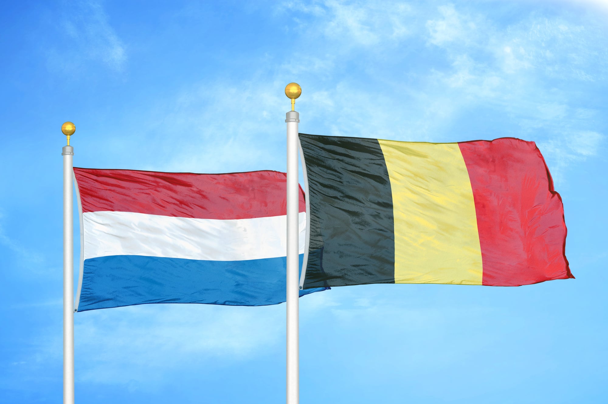
The town of Baarle is a checkerboard of sovereignty so byzantine that residents must check which country they’re in before calling emergency services. Belgium and the Netherlands are interleaved in the same small town: 22 Belgian enclaves sit inside Dutch territory, and within those enclaves lie 7 Dutch counter-enclaves.
Some buildings are literally split by the border, with residents living in one country while their front door opens into another. Medieval land deals between local noble families created this fragmentation, and when modern borders solidified in the 19th century, the cartographic mess was simply accepted rather than redrawn.
Today, café tables sit half in Belgium and half in the Netherlands, and nationality is determined by which room you’re occupying.
India-Bangladesh Enclaves
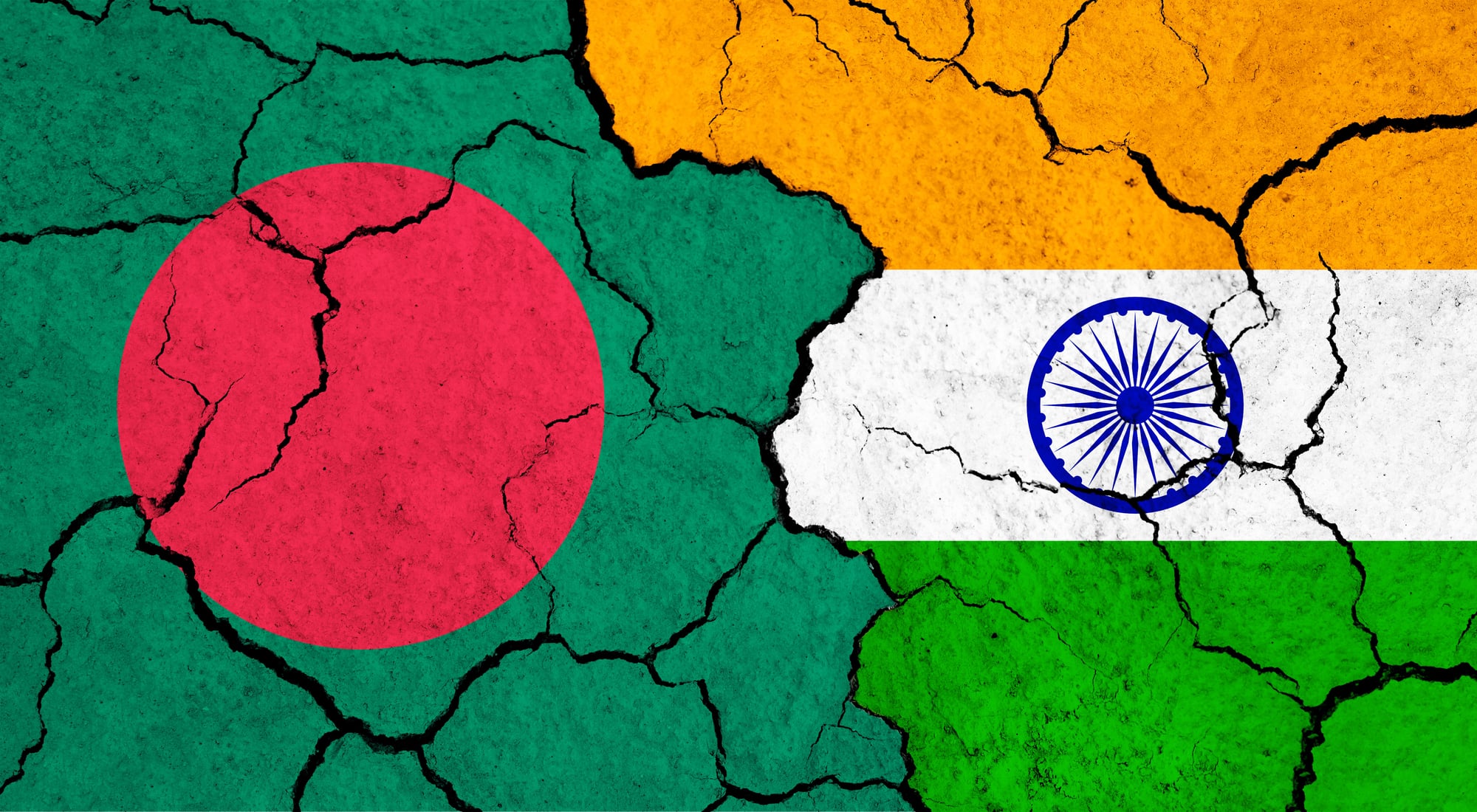
In the 19th century, the kings of Koch Bihar and Rangpur gambled their territories in card and chess games, resulting in a chaotic division of land that appeared to drunken cartographers as a polka-dotted mistake. When India partitioned in 1947, these scattered pieces became 106 Indian enclaves completely surrounded by Bangladeshi territory, plus 71 Bangladeshi enclaves trapped inside India—an unprecedented concentration of enclaves accounting for nearly 80 percent of the globe’s total.
Unlike the friendly Belgium-Netherlands arrangement, residents in these enclaves faced genuine hardship: no access to schools, hospitals, or basic services, with border guards preventing free movement. India and Bangladesh didn’t finally resolve this until 2015, when they agreed to exchange most of the enclaves and let residents choose which country to belong to.
Pheasant Island (France and Spain)
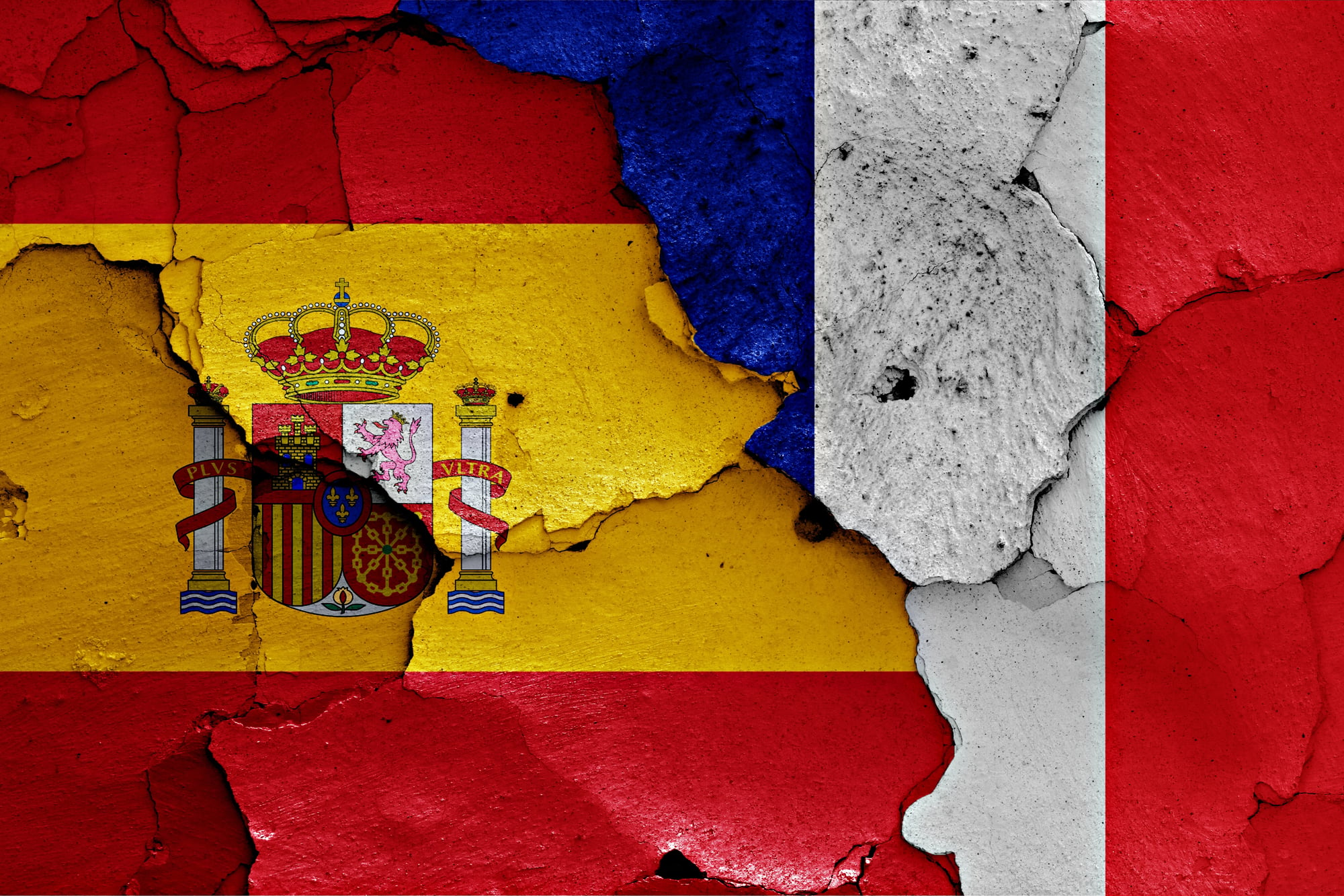
This tiny, uninhabited island sits in the Bidasoa River between France and Spain and has changed hands every six months for over 350 years in one of history’s most peculiar diplomatic arrangements. The Treaty of the Pyrenees was signed here in 1659, ending decades of war between France and Spain, and the nations decided that rather than fight over this 200-meter strip of land, they would simply alternate control.
Every February and August, representatives formally exchange documents in a ceremony steeped in 17th-century tradition. The island serves no practical purpose, generates no revenue, and hosts no settlement, yet both nations maintain the arrangement with meticulous precision, making it the world’s longest-lasting condominium and proof that sometimes the most stable borders are the most absurd.
The Wakhan Corridor (Afghanistan)
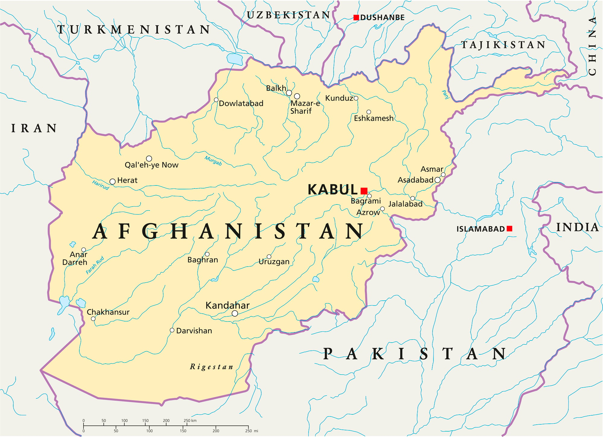
This narrow panhandle of Afghan territory juts eastward like an appendix, stretching between Tajikistan to the north and Pakistan to the south, existing for one reason alone: 19th-century empires wanted a buffer zone. Britain controlled India while Russia pushed into Central Asia, and neither power wanted a direct border with the other.
Afghanistan was stretched thin to keep them apart—in some places only 13 kilometers wide—creating a corridor of extreme isolation that touches China at its eastern tip through the remote Wakhjir Pass. Kyrgyz nomads were trapped there when borders hardened in the 20th century, condemned to stay year-round in a high-altitude plateau where winters are brutal and escape is impossible.
The corridor remains one of Earth’s most remote inhabited regions, more isolated from modernity than almost anywhere else.
Cyprus and the Green Line
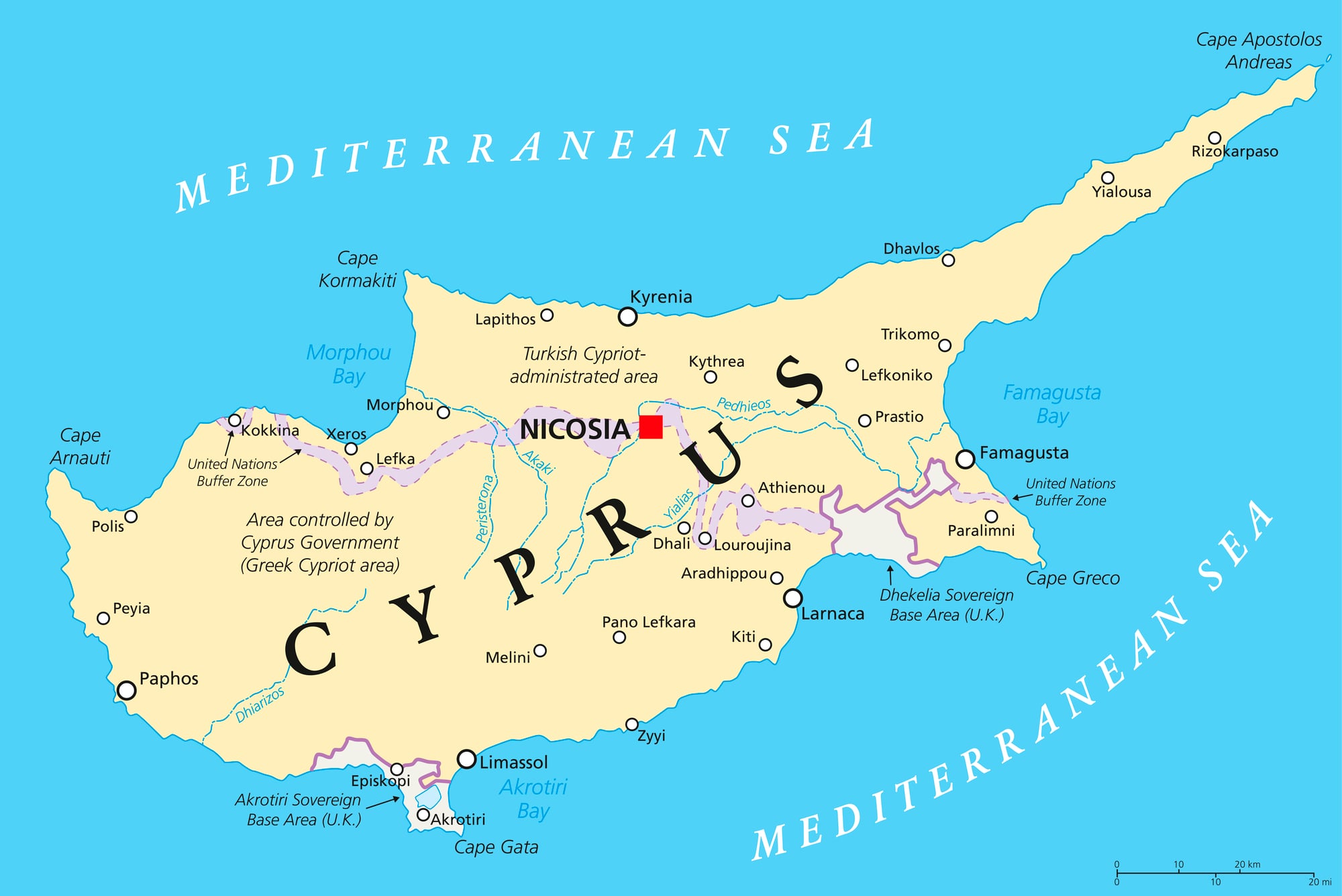
A British military officer drew a line on a map with a green pencil in 1963 to separate Greek and Turkish communities in newly independent Cyprus, expecting it to be temporary. It still stands 60+ years later, now a 180-kilometer UN-controlled buffer zone dividing the entire island.
In some places in the capital Nicosia, it measures just 3.3 meters across—close enough to talk through barbed wire. A 1974 Turkish invasion made the division permanent, creating two separate de facto states, though only Turkey recognizes the breakaway north.
The buffer zone is contaminated with over 7,000 mines and remains closed except at official checkpoints, making it Europe’s last divided country and Nicosia the last divided capital in the world. Yet despite this stark division, people cross daily for cheaper groceries and gas.
Derby Line-Stanstead (United States and Canada)
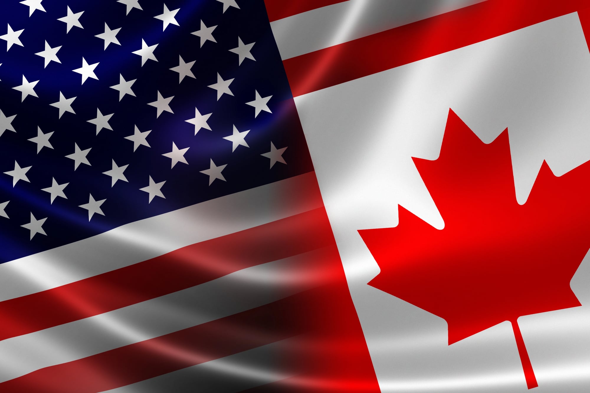
The international border between Vermont and Quebec runs down the center of a main street called Canusa Avenue, bisecting entire buildings and dividing the two towns so thoroughly that they function as one community despite being in different countries. Residents on opposite sides of the street obey different laws, and one section of the border is marked only by flower pots.
No one knows exactly why the line was drawn through these towns in the early 1700s—some attribute it to a simple mapmaking error—but the result is that crossing the street at any point means technically entering another country. The arrangement is so casual that few residents think of themselves as living in separate nations, yet the international boundary remains firmly in place, a bureaucratic accident that became permanent.
The Korean Demilitarized Zone (North and South Korea)
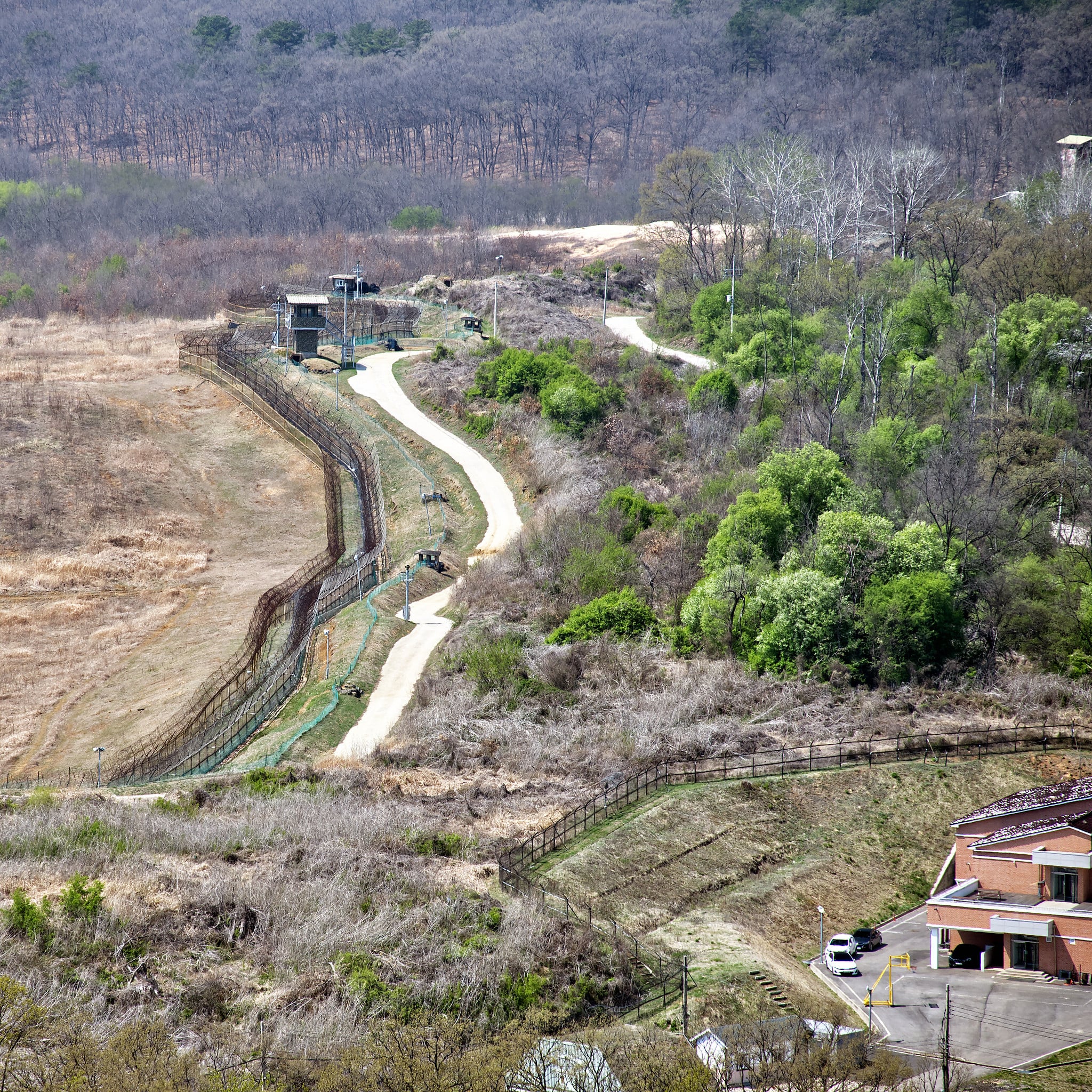
The Korean War ended in 1953 not with a treaty but with an armistice that created a 4-kilometer-wide buffer zone across the peninsula. The Demilitarized Zone (DMZ) now stands as the world’s most heavily militarized border, bristling with barbed wire, landmines, watchtowers, and opposing troops eyeing each other across a line that wasn’t meant to be permanent but has endured for 70 years.
The border is so rigid that families separated in 1950 have never reunited, and the DMZ itself has become an accidental nature preserve where endangered species thrive in the absence of human activity. Unlike most borders, the DMZ cannot be crossed by ordinary citizens, making it as much a wall as an invisible line, and the lack of peace treaty means technically the war never ended.
Northern Ireland and the Republic of Ireland
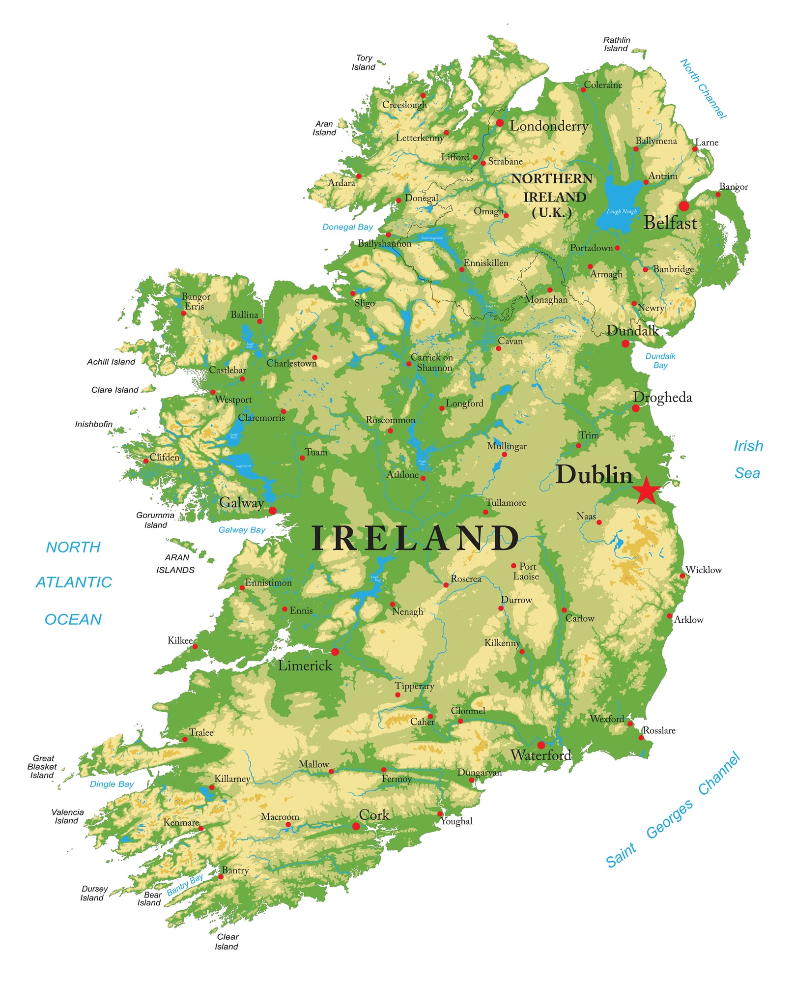
The border between Northern Ireland and the Republic of Ireland was drawn in 1921 to reflect religious and political divisions, but it split families, communities, and even villages in half. A single road (the N54) crosses the border five times in just five miles, and small communities found themselves divided by nationality and governance despite speaking the same language and sharing cultural identity.
The border became the frontier of the Irish Civil War and later formed the geographic heart of the conflict known as The Troubles, a sectarian struggle that lasted until 1998. Even with the Good Friday Agreement and the relative openness of modern EU borders, peace walls remain in some Belfast neighborhoods, and the border’s historical legacy of division continues to shape political identity in ways no other Western border does.
Zanzibar and Tanzania (The Merger)
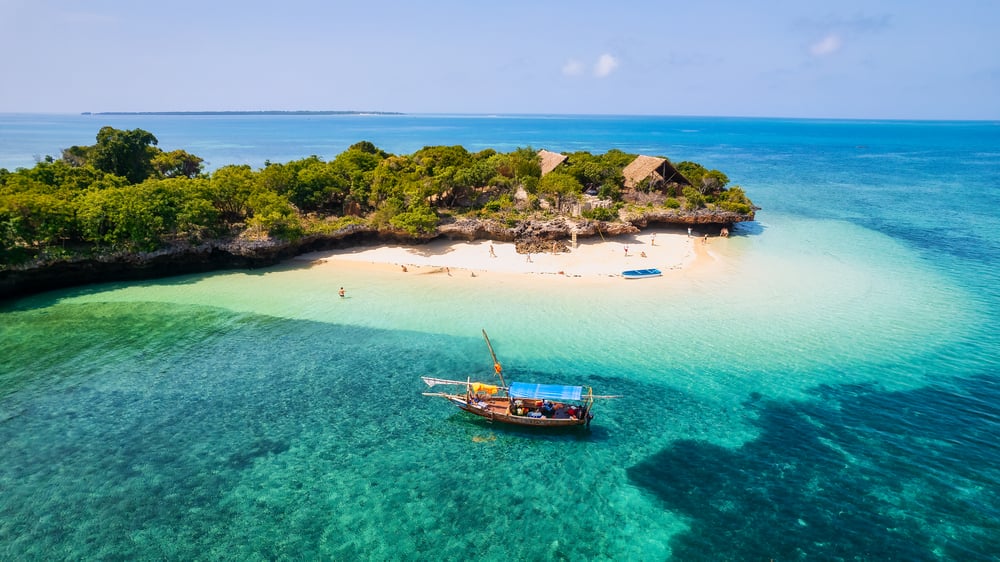
Zanzibar was an independent island nation for less than a year before it merged with mainland Tanganyika in 1964 to form Tanzania. The union was entirely voluntary, a solution proposed by Tanganyikan President Julius Nyerere to prevent the revolutionary government of Zanzibar from becoming the “Cuba of Africa” under pressure from Soviet and Chinese interests.
The merger created an unusual political structure where Zanzibar retained its own government and significant autonomy within a larger union, a compromise that has largely held for 60 years despite persistent tensions. Tanzania’s name itself is a blended compound of Tanganyika and Zanzibar, making it the only African nation formed by the merger of two existing countries—a uniquely peaceful solution to post-colonial instability that reversed the normal pattern of division and secession.
The Siliguri Corridor (India)
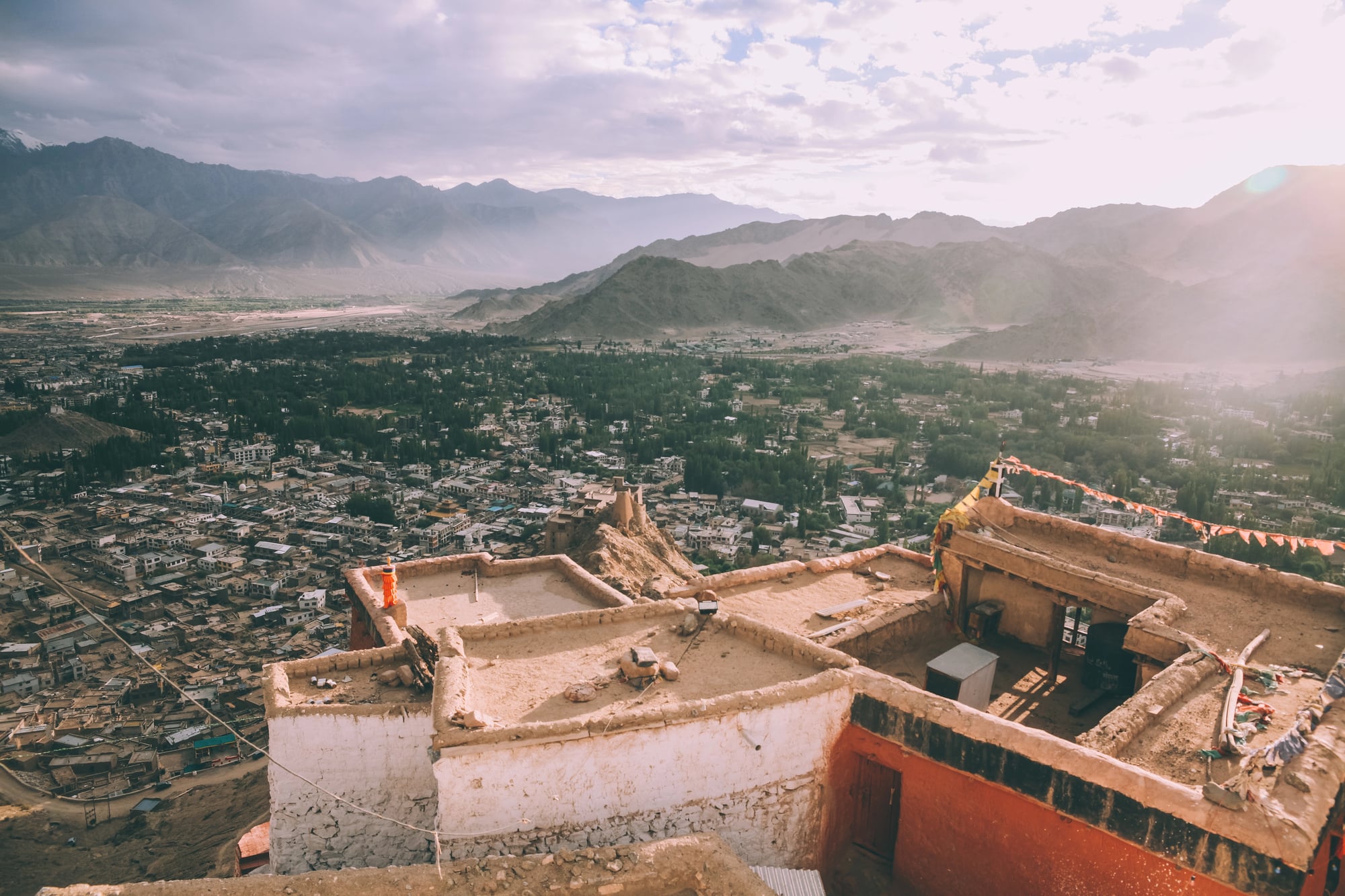
This narrow strip of Indian territory connects the mainland to the northeastern states of Assam and Meghalaya, squeezed between Nepal and Bangladesh like a geographical afterthought. At just 20 kilometers wide in its narrowest sections, the corridor exists solely because of colonial-era boundary disputes and strategic necessity.
Making northeastern India dependent on this thin corridor for all surface access to the rest of the country. Militarily vulnerable and geopolitically crucial, the Siliguri Corridor controls India’s ability to project power in the northeast and directly affects relations with China, Bangladesh, and Nepal.
The existence of this bottleneck means that blocking it would effectively isolate millions of Indian citizens from their own nation—a reality that shapes regional geopolitics in ways most outsiders never consider.
The Hasakah Pocket (Syria and Turkey)
Syria’s eastern border with Turkey contains a bizarre pocket of territory where Turkish land briefly protrudes into Syrian territory before withdrawing again, creating a geographic irregularity that reflects the complex history of Ottoman border demarcation. The pocket exists because borders were often drawn along rivers that periodically shifted their courses, or because colonial administrators simply made imprecise agreements without surveying the actual terrain.
Such pockets are historical footnotes in most places, but in the Middle East they carry geopolitical weight, as every border dispute potentially threatens stability in an already volatile region.
Lesotho Surrounded by South Africa
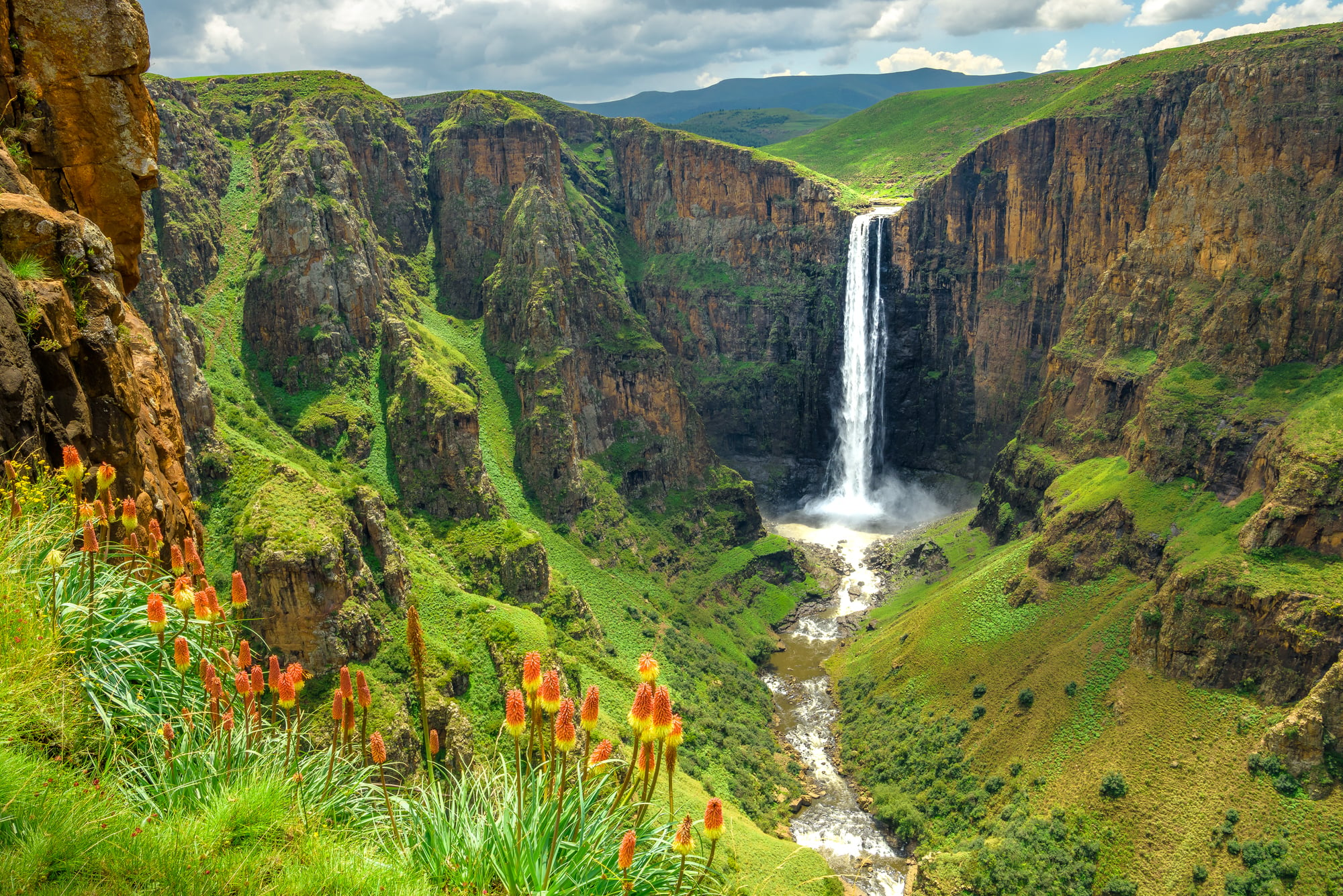
Lesotho is an independent nation completely surrounded by South Africa, making it the only African country entirely encircled by another state. This isn’t recent colonialism but rather the result of 19th-century territorial disputes and the Boer War, after which Britain granted Lesotho limited independence while keeping it economically and militarily dependent.
The situation persists today: Lesotho is landlocked and must negotiate with South Africa for access to the sea, making it one of the world’s most geographically constrained nations. Its entire border—over 900 kilometers—is shared with a single country, creating a unique political and economic relationship.
The Panama Canal Zone (Former)
Until 1999, the United States controlled a 16-kilometer-wide strip across Panama containing the canal, creating a foreign enclave in the middle of a sovereign nation. This zone had its own government, laws, and schools, and existed despite Panama’s formal independence, representing U.S. imperial authority in miniature.
The zone wasn’t conquered by war but was granted by treaty—a “gift” that Panama resented for decades until negotiations returned it to full Panamanian control. The history of the Canal Zone illustrates how modern borders were sometimes imposed by power rather than negotiation, and how even recent geopolitical arrangements can carry echoes of colonialism.
East Timor’s Exclave (Indonesia/Timor-Leste)
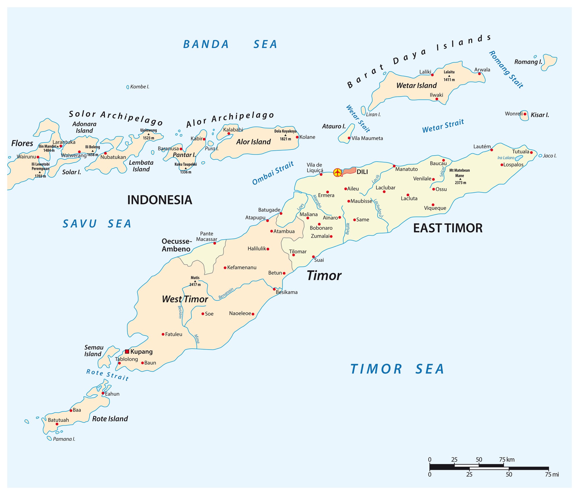
The island of Timor has a split personality: the eastern portion became independent as Timor-Leste in 2002, while the western portion remained part of Indonesia. Adding to the geographic oddity, Timor-Leste includes the exclave of Oecussi-Ambeno, which is surrounded by Indonesian territory but belongs to Timor-Leste.
This fragmented division reflects the chaotic decolonization of the region and resulted in a new nation born already incomplete, dependent on negotiating its relationship with a larger neighbor for landlocked pieces of its own territory.
The Fergana Valley (Tajikistan, Uzbekistan, and Kyrgyzstan)
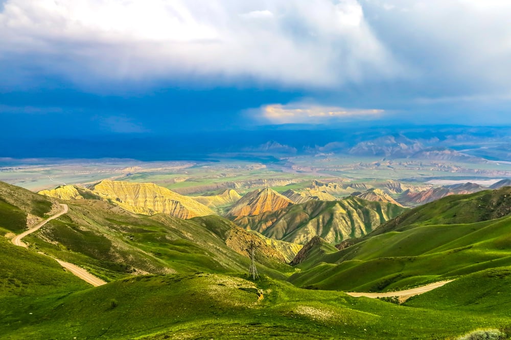
The Fergana Valley in Central Asia is a geographic and political nightmare—an enormous valley surrounded and divided by three different countries with no clear ethnic or geographic logic to its borders. Tajikistan, Uzbekistan, and Kyrgyzstan are interleaved throughout the valley, creating dozens of exclaves and administrative nightmares.
The Soviet Union deliberately drew these borders to ensure no single state could dominate the resource-rich valley, creating a recipe for ongoing disputes that has persisted long after Soviet collapse. Communities are divided, resources are disputed, and the complex border requires residents to navigate multiple checkpoints to travel within their own region.
Crimea’s Contested Status
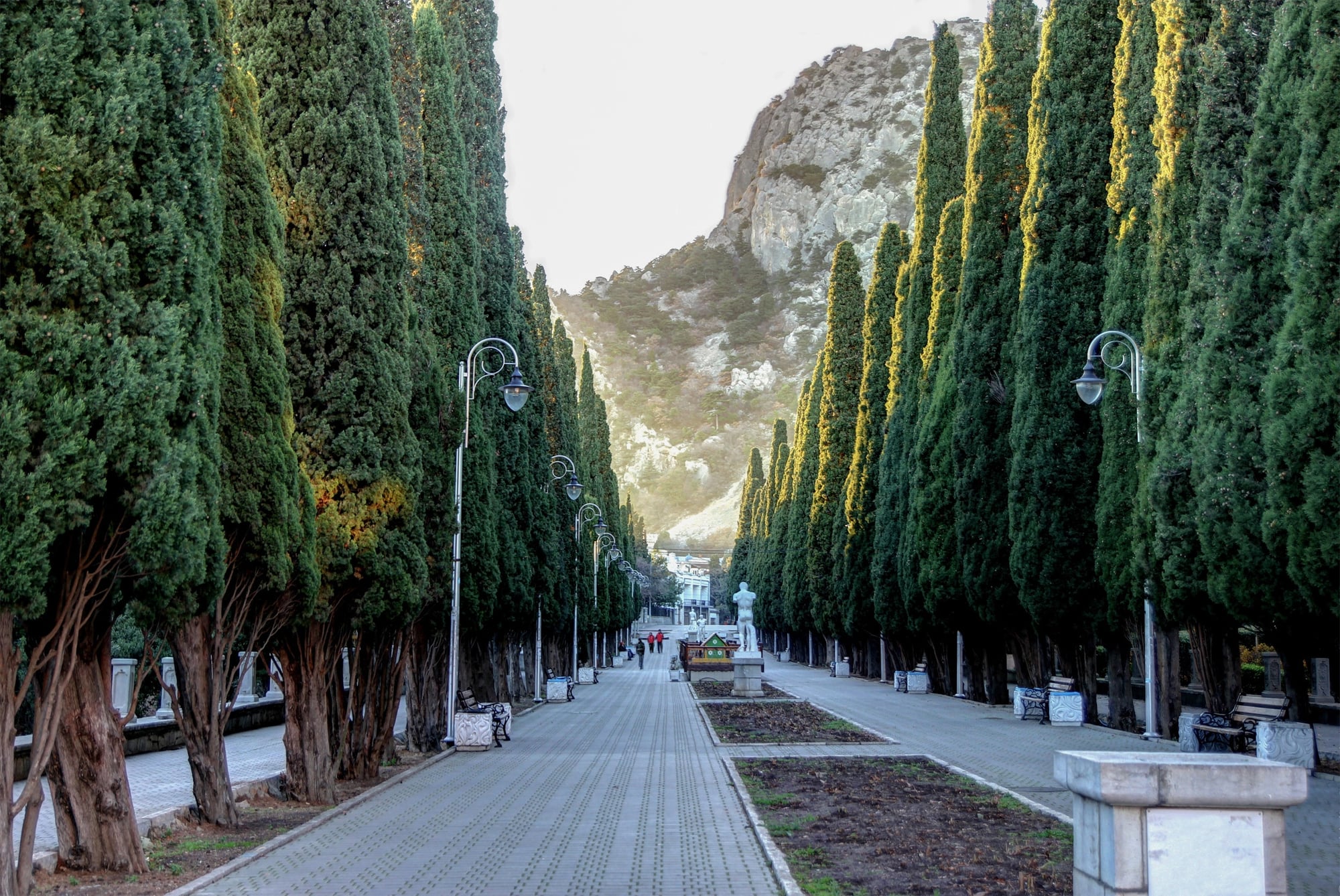
Crimea was transferred from Russia to the Ukrainian Soviet Socialist Republic in 1954 as an internal administrative rearrangement when both were part of the USSR. When the Soviet Union collapsed, Crimea remained legally part of independent Ukraine despite its Russian majority and Russian military presence.
In 2014, Russia annexed Crimea in the first overt territorial conquest in Europe since World War II, creating a frozen conflict where Crimea’s international status remains disputed. The peninsula shows how administrative boundaries created within empires can become international flashpoints once empires fall, and how geography, ethnicity, and military power can all pull in different directions.
The Finnish-Norwegian Border Anomaly
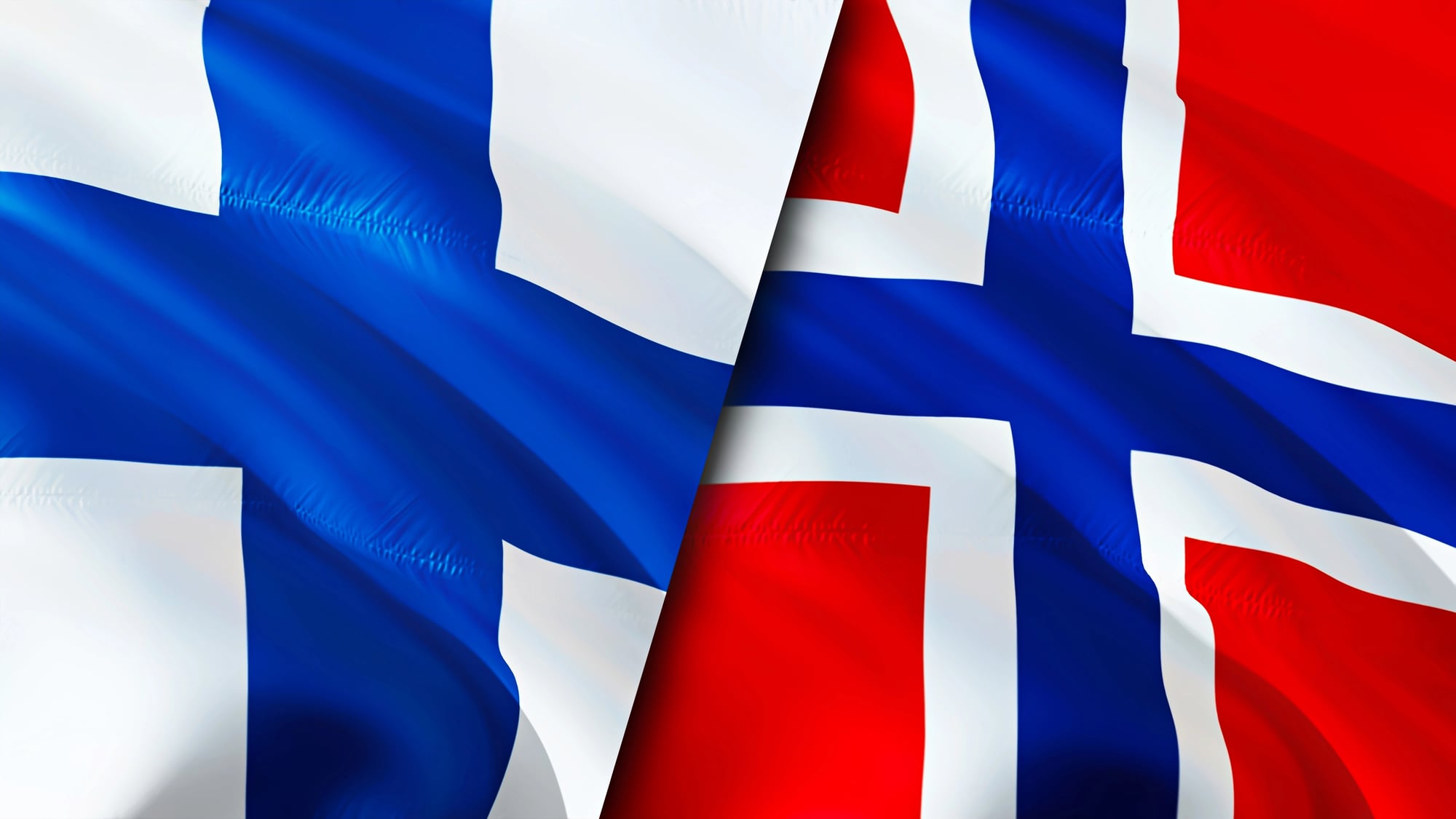
Parts of the Finnish-Norwegian border follow no recognizable geographic feature or ethnic boundary, instead making what appear to be arbitrary zigzags across the landscape. This reflects the complex history of both countries’ independence from Russia and Sweden, as well as historical agreements and territorial compromises.
Some sections of the border run through forests with seemingly no reason for the exact path chosen, illustrating how historical coincidence rather than logic determines modern international law.
Kosovo’s Post-War Borders
Kosovo’s borders were defined by the extent of Serbian military control when the war ended in 1999, making them a military ceasefire line rather than a negotiated boundary. The northern areas of Kosovo remain ethnically Serb and disputed, with physical barriers and ethnic enclaves preventing simple resolution.
A bridge over the Ibar River in the capital divides the city between Serbian and Kosovar control, and tensions persist because the border never fully resolved the underlying conflict—it merely froze a military situation into international law.
The Casamance Region (Senegal)
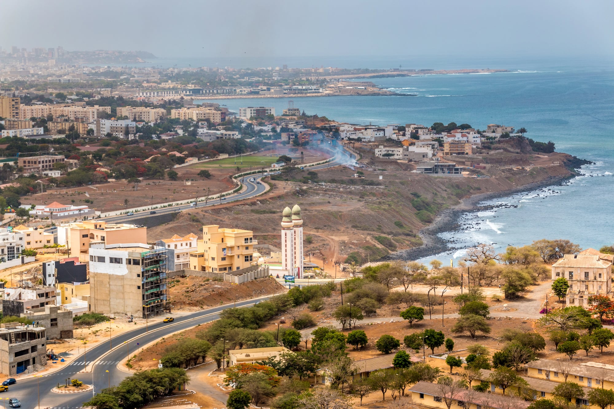
The Casamance region of southern Senegal is geographically separated from the rest of the country by the width of The Gambia, creating an exclave that is nonetheless legally part of Senegal. This separation dates to 19th-century colonial boundary disputes and resulted in a region with a distinct identity, culture, and even separatist movements.
The existence of this exclave has shaped Senegal’s political history and continues to complicate its geographic and ethnic unity.
Antarctica’s Overlapping Claims
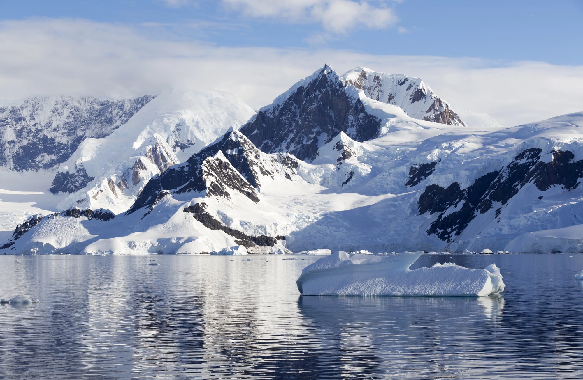
Antarctica has no established borders despite multiple countries claiming overlapping territorial sectors. The Antarctic Treaty System of 1961 essentially froze all territorial claims and designated the continent for scientific use only, creating a unique international territory where no nation can legally enforce sovereignty.
This unprecedented arrangement emerged not from shared values but from Cold War pragmatism—it prevented the continent from becoming a battleground during the nuclear standoff. Antarctica’s borders, therefore, exist as a legal framework that no nation is permitted to enforce, a surreal solution to impossible geopolitical claims.
The Swat Valley Within Pakistan
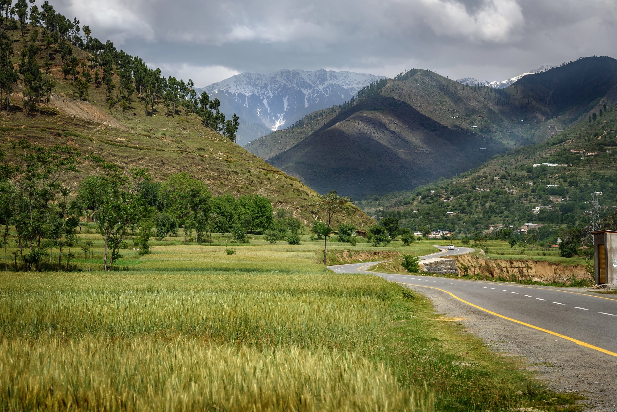
The Swat Valley was an autonomous princely state semi-independent within British India, with its own ruler and government. When India and Pakistan partitioned in 1947, Swat initially remained semi-autonomous under its nawab, not becoming fully part of Pakistan until 1969.
This history created a region with a distinct identity and culture within Pakistan, similar to Kashmir, though with less international attention. The valley’s borders reflect the complexity of colonial-era administrative arrangements that didn’t neatly align with either ethnic or religious divisions.
Halaib and Shalateen (Egypt and Sudan)
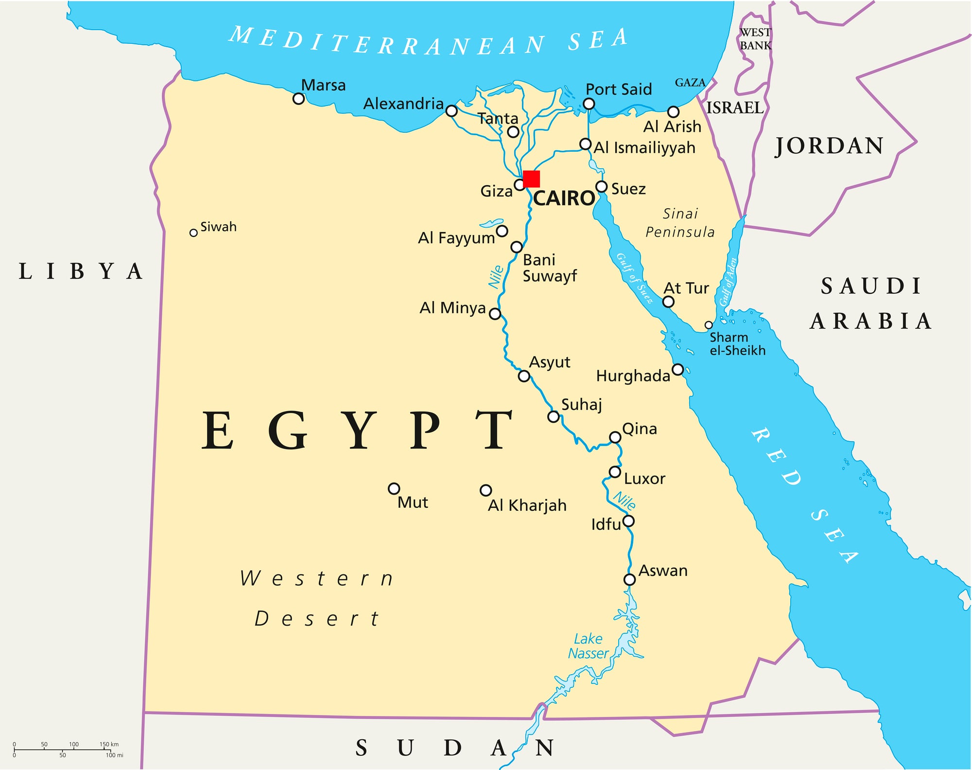
This small triangular region on the Red Sea coast is claimed by both Egypt and Sudan, creating a genuine border dispute in modern Africa. Egypt controls the territory administratively, but Sudan disputes the claim based on older colonial-era treaties.
The region is remote and lightly populated but has become symbolically important to both nations’ sense of territorial integrity, illustrating how even tiny, resource-poor territories can become points of national pride and geopolitical tension.
The Durand Line (Afghanistan and Pakistan)
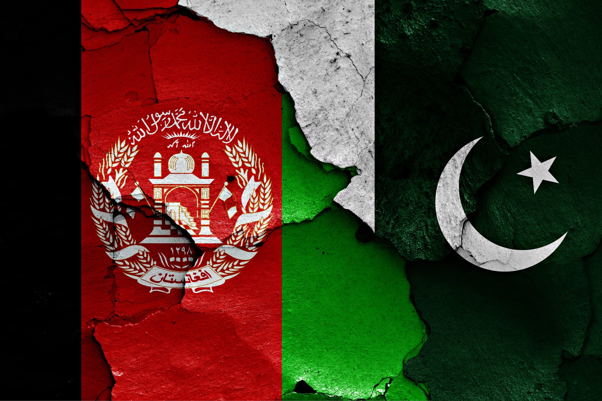
Drawn in 1893 by a British official who never visited most of the territory, the Durand Line forms the border between Afghanistan and Pakistan, dividing the Pashtun people into two nations. Afghanistan has never formally recognized this border, instead claiming large portions of Pakistani territory based on ethnic and historical arguments.
The border remains “disputed” on many Pakistani maps and is periodically a source of tension, making it a line that was never accepted by one party despite being international law to the rest of the world.
Crimean Bridge Connection (Russia and Occupied Territory)
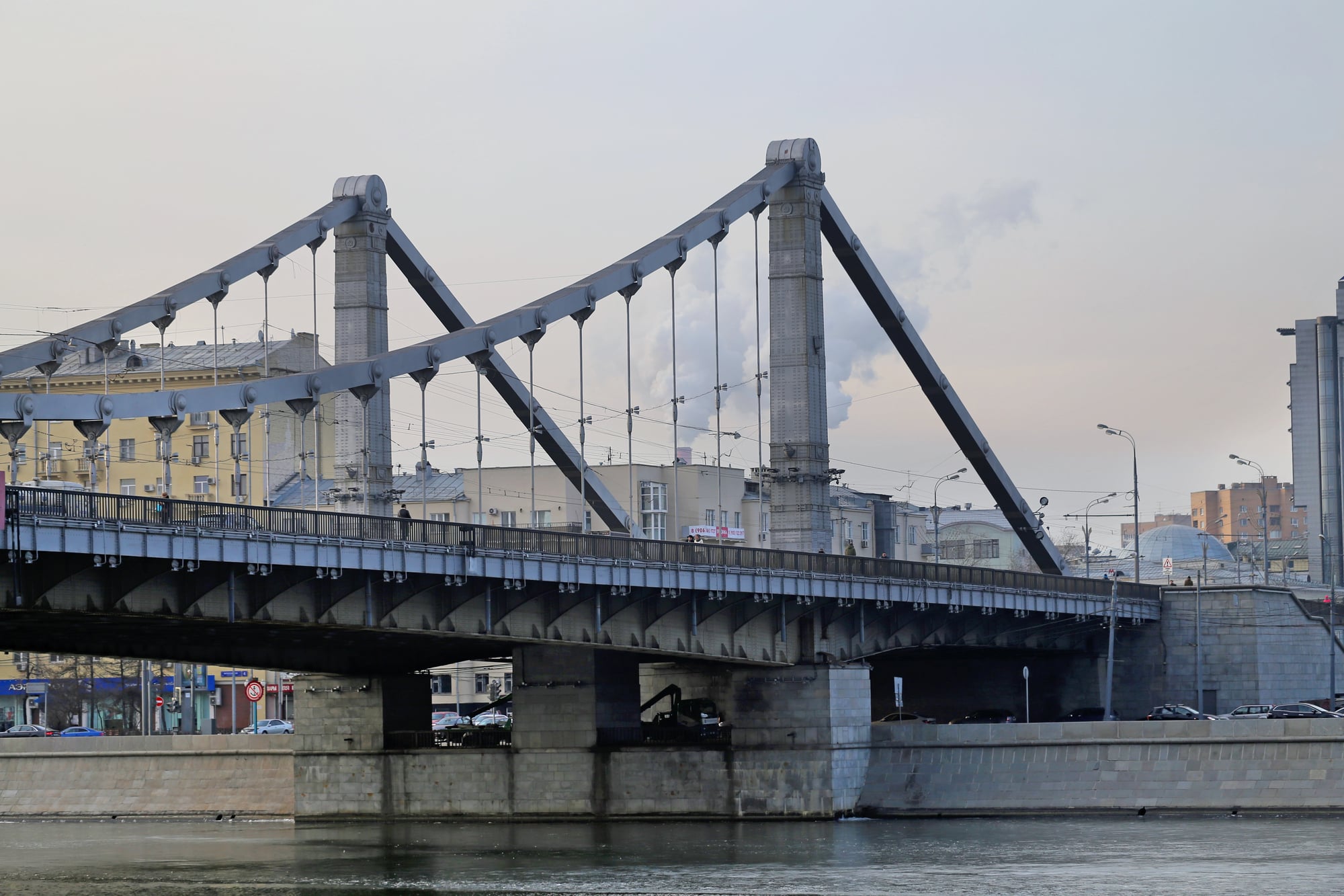
The Crimean Bridge, built by Russia after its 2014 annexation of Crimea, is the longest bridge in Russia and physically connects Crimea to the Russian mainland. Yet internationally, Crimea remains occupied Ukrainian territory, making the bridge a structure connecting an occupying country to occupied land.
The bridge’s existence is a physical assertion of Russia’s claim to Crimea despite international non-recognition, transforming geopolitics into infrastructure.
The Irish Border During Partition
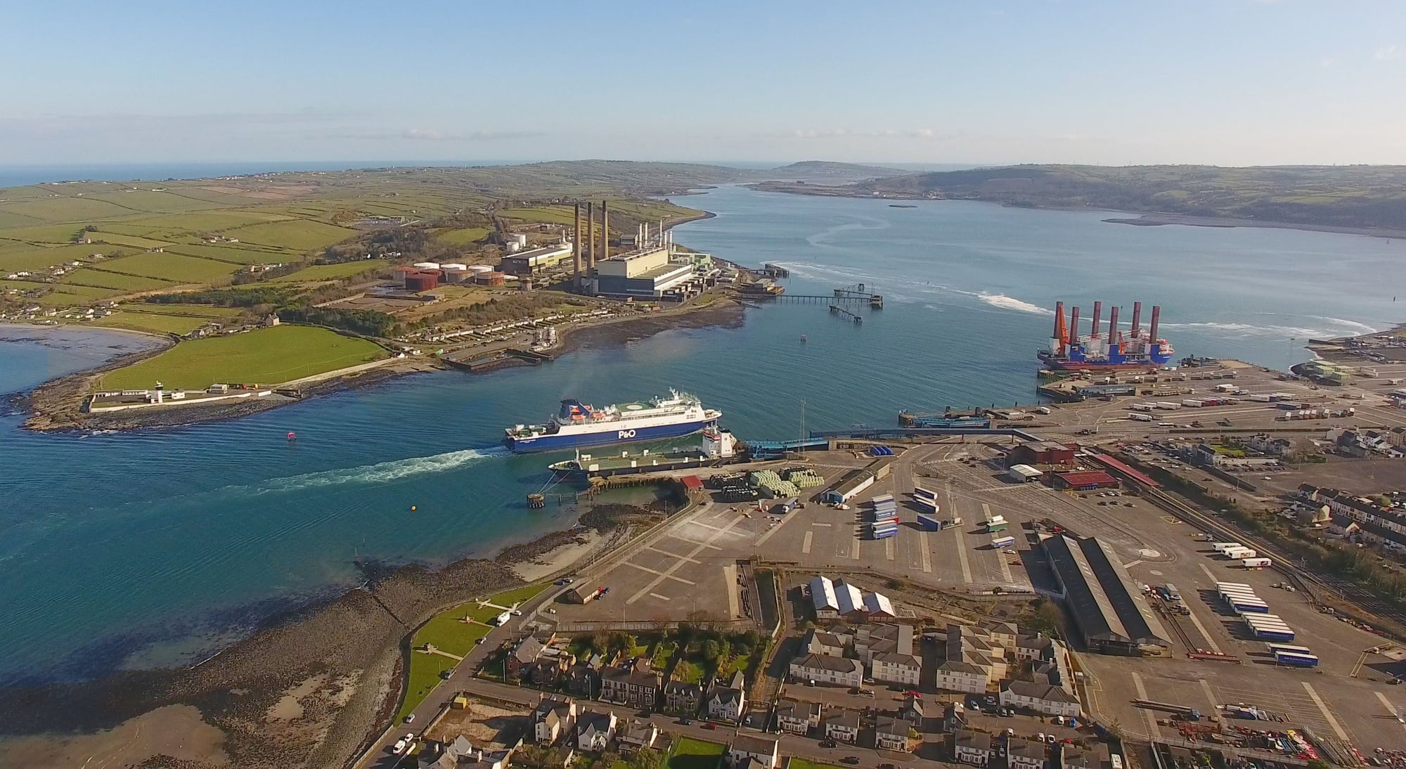
When Ireland partitioned in 1921, the border was drawn to maximize territory for the Irish Free State while keeping unionist (Protestant and pro-British) areas in Northern Ireland. The result was a border that didn’t follow clean ethnic, religious, or geographic lines, instead running through towns, farms, and communities, leaving families on opposite sides.
This arbitrary line became the frontier of a civil war and later sectarian violence, making it perhaps Europe’s most historically bloody border, and its legacy persists in ongoing political division despite decades of relative peace.
The Golan Heights Border (Israel and Syria)
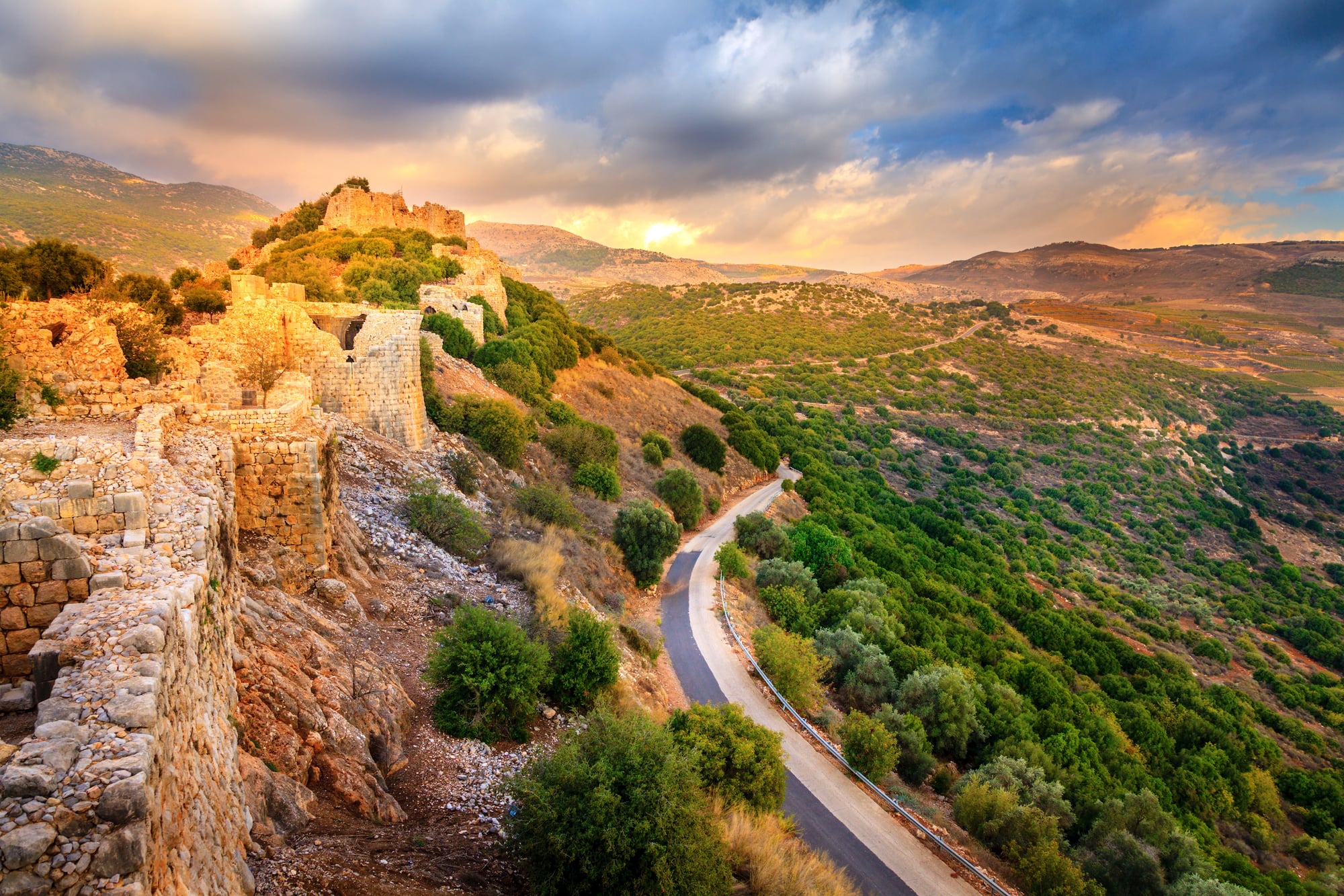
The Golan Heights were captured by Israel in the 1967 Six-Day War and remain occupied territory, officially still Syrian land according to international law but controlled and settled by Israel. The border is technically a ceasefire line from 1974, not a formally negotiated boundary, and remains disputed.
The plateau sits at a strategic height with fresh water resources, making it contested territory where the border is drawn by military occupation rather than international agreement, illustrating how conquest can become de facto statehood despite legal non-recognition.
Scotland and England (Peaceful Ancient Border)
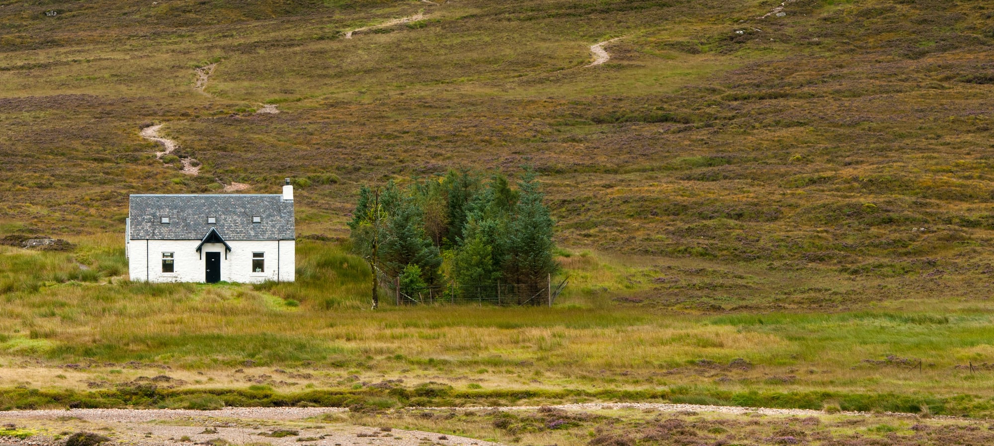
The border between Scotland and England is one of the oldest still-existing international boundaries, established after centuries of warfare and finally formalized through treaties. What makes it remarkable isn’t conflict—for centuries it has been the West’s most stable border, requiring no armies to maintain—but rather that it crossed through sparsely populated, difficult terrain that neither side could effectively govern.
The border endured because it was geographically natural and militarily logical, unlike most of the world’s borders drawn by bureaucrats with maps and rulers. When Scottish independence movements emerge, they evoke this ancient border as a political symbol, yet it remains one of the world’s most uncomplicated boundaries.
Peaceful Borders Exist Alongside Chaos
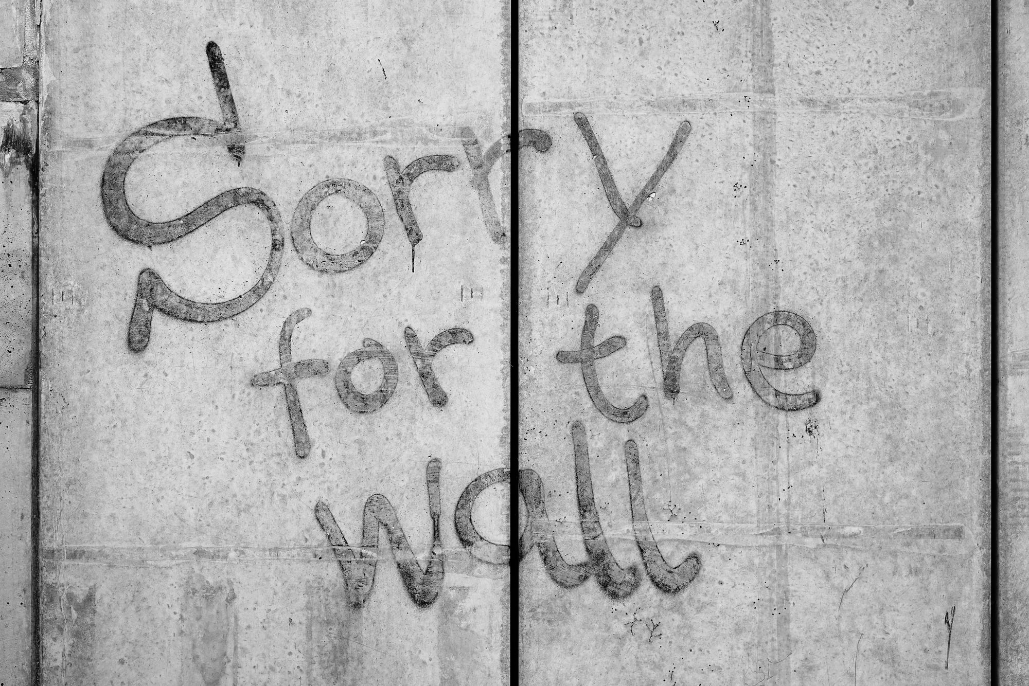
Most of the world’s borders carry historical baggage that becomes international conflict. Yet some borders—the Scottish-English line, the Sweden-Norway boundary, the Canada-US frontier—maintain stability precisely because they were drawn either through geographic necessity or through agreement between roughly equal powers.
The strangest borders often mark the locations where empires fumbled their demarcation duties, leaving behind geographic anomalies, ethnic divisions, and territorial disputes that modern nations must navigate. Understanding borders means understanding that lines on maps are never innocent—they are palimpsests of historical accidents, imperial ambition, and the consequence of whoever held the pencil at the moment sovereignty was decided.
More from Go2Tutors!

- The Romanov Crown Jewels and Their Tragic Fate
- 13 Historical Mysteries That Science Still Can’t Solve
- Famous Hoaxes That Fooled the World for Years
- 15 Child Stars with Tragic Adult Lives
- 16 Famous Jewelry Pieces in History
Like Go2Tutors’s content? Follow us on MSN.