25 Maps That Turned Out to Be Wrong
Cartography represents humanity’s attempt to transform three-dimensional reality into two-dimensional representation, inevitably requiring compromise, interpretation, and occasionally outright error. Medieval mapmakers depicted terra incognita as fantastic lands populated by monsters, while early modern explorers incorporated travel accounts of dubious accuracy into their charts.
Even with modern satellite technology and GPS precision, map errors persist due to intentional distortion, outdated source material, or simple oversights. The history of cartographic error reveals how geographic knowledge evolves and how political forces shape what maps represent as authoritative truth.
The Piri Reis Map (1513) and Its Cartographic Distortions
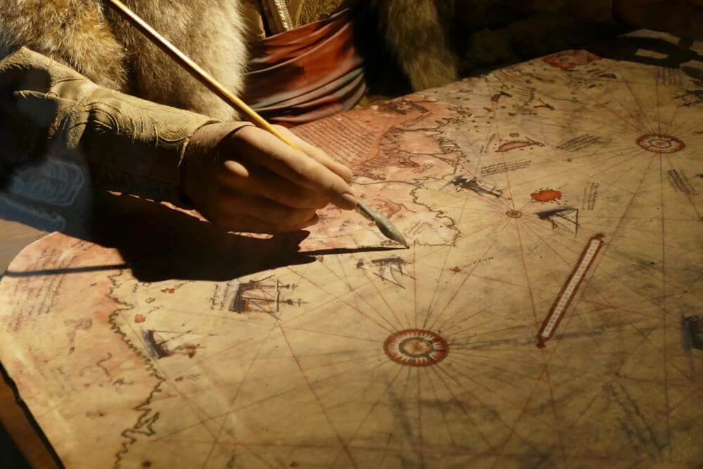
Ottoman cartographer Piri Reis compiled his 1513 world map from contemporary navigation charts, yet substantial errors plagued his representation of the Caribbean, with islands displaced, fictitious landmasses added, and orientation confusing. The map’s depiction of the South American coast extends implausibly eastward, and numerous islands that contemporaries already knew exist were either omitted or misplaced.
Modern analysis attributes these errors to copying mistakes, projection distortions, and Reis’ reliance on inaccurate source maps rather than hidden knowledge.
Waldseemüller’s 1507 Map and the Missing Pacific Northwest
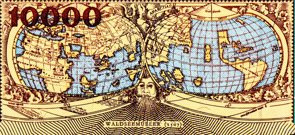
German cartographer Martin Waldseemüller’s 1507 world map incorporated recent discoveries yet massively underestimated the Earth’s circumference and misplaced numerous landmasses. The map’s depiction of the Americas compressed their actual size, confusing geographic relationships and land area proportions.
Waldseemüller’s subsequent 1516 revision corrected some errors, demonstrating how mapmakers adapted to improved geographic information.
Mercator’s Projection and Polar Distortions
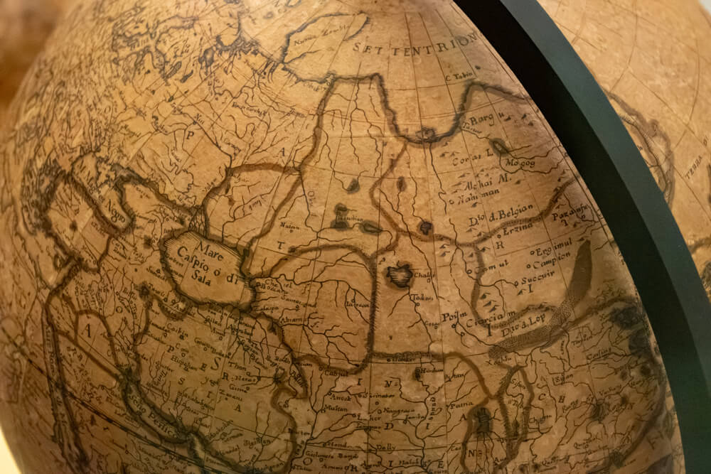
Gerardus Mercator’s 1569 projection revolutionized navigation by representing compass courses as straight lines, yet introduced massive distortions of landmass size, particularly in polar regions. Greenland appears substantially larger than it is, while African and Asian land areas are exaggerated.
The Mercator projection remains widely used despite distortion, perpetuating misunderstandings about geographic proportions. Mercator intentionally exaggerated northern latitudes to serve maritime navigation, sacrificing accuracy for practical sailing advantage.
The Search for the Northwest Passage and Fictional Geography
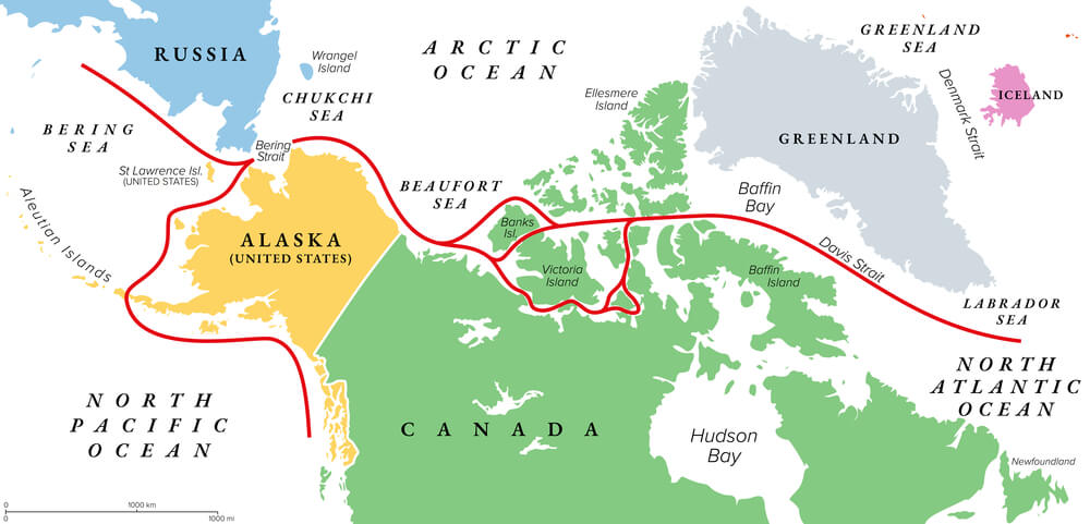
European maps for centuries depicted a navigable water route across North America to the Pacific (the “Northwest Passage”), based on speculative cartography and unreliable explorer accounts. This fictional geography motivated centuries of exploration and colonization efforts, delaying recognition of North America’s actual landmass extent.
Cartographic error directly influenced imperial policy and exploration priorities.
The Great Lakes Misrepresentation
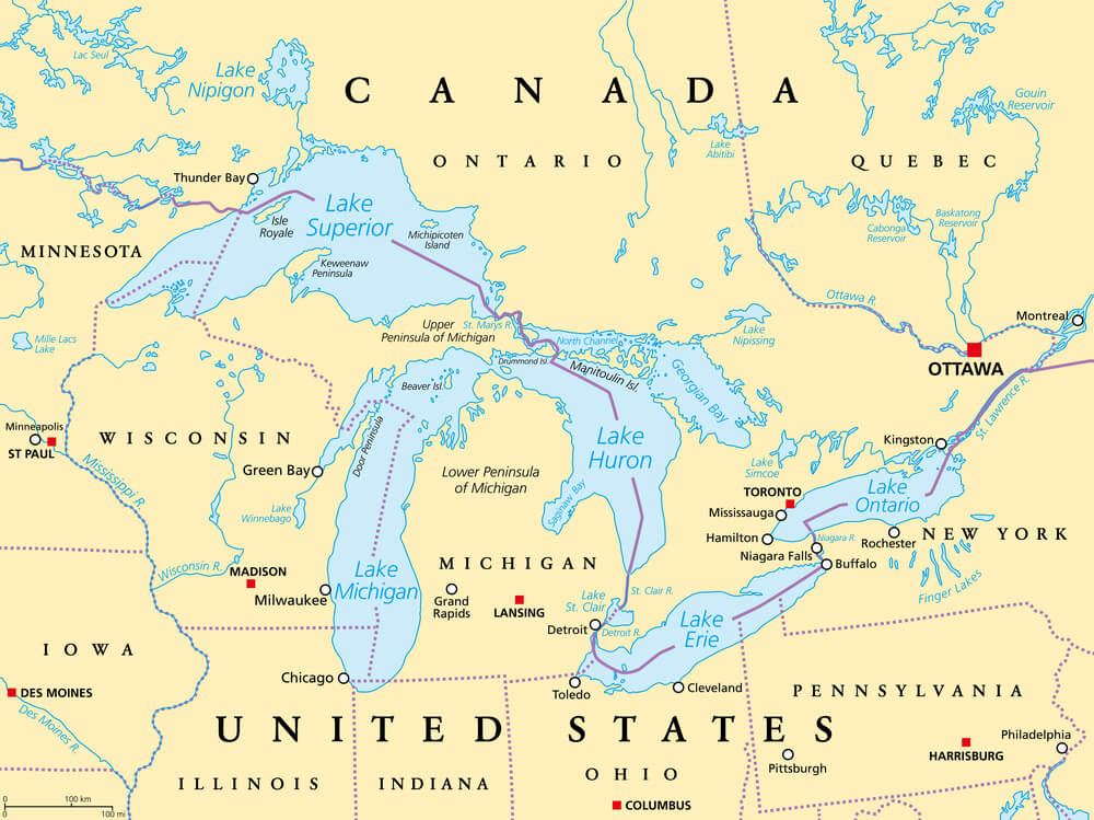
Early American maps substantially distorted the Great Lakes’ size and configuration, leaving Michigan depicted as an island or dramatically misrepresenting Lake Michigan’s shape. These errors persisted in published maps through the 19th century, creating geographic confusion about interior waterways.
Improved survey techniques gradually corrected these errors, yet alternative map versions coexisted in libraries alongside corrected versions.
California as an Island
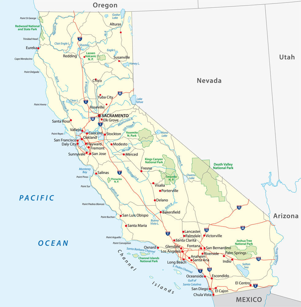
Medieval and early modern maps depicted California as an island separate from North America, based on misinterpreted explorer reports and cartographic speculation. This error persisted into the 18th century in numerous published maps despite contemporary knowledge among navigators of California’s peninsula status.
Cartographic error reflecting misunderstood source material demonstrated how mapmakers perpetuated errors even when contradictory information existed.
The Falkland Islands’ Shifting Cartographic Representation
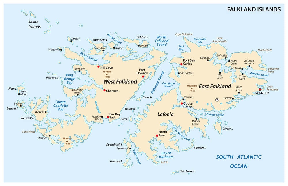
The Falkland Islands’ precise location, size, and political affiliation underwent repeated cartographic revision through the 18th-19th centuries as exploration improved and political control shifted. Spanish, British, and French cartographers represented the islands differently reflecting their respective political claims.
The islands’ cartographic history reflects how maps serve political function beyond geographic representation.
New Zealand’s Distorted Configuration
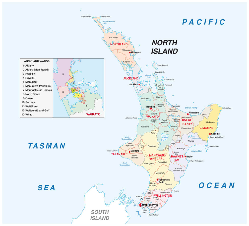
Eighteenth-century maps frequently distorted New Zealand’s shape, exaggerating its north-south extent or misrepresenting its bimodal landmass structure. These errors resulted from limited surveying data and reliance on incomplete explorer narratives.
Successive cartographic refinement gradually corrected New Zealand’s representation as survey data improved and exploration circumnavigated the complete coastline.
The Aleutian Islands’ Missing Section
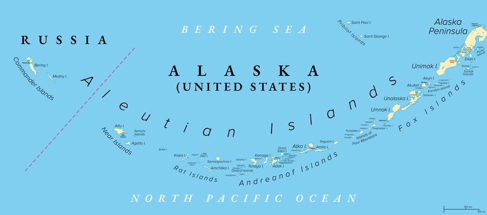
Historical maps frequently omitted or drastically misrepresented the Aleutian Islands chain between Alaska and Kamchatka, leaving cartographic gaps in Pacific geography. The islands’ harsh climate and remoteness limited early exploration, leaving their precise positions and number uncertain.
Corrected representation required extensive modern survey data and improved navigation technology.
Lake Michigan’s Mistaken Connection to the Mississippi
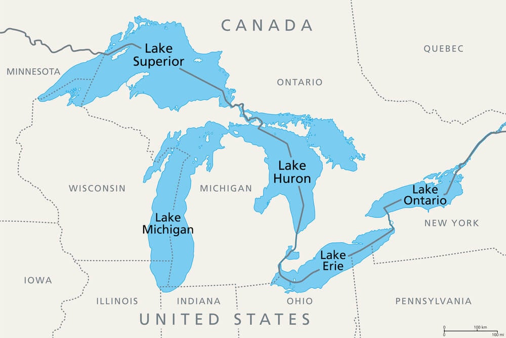
Some historical maps connected Lake Michigan directly to the Mississippi River, erroneously depicting a water route that never existed. This cartographic error reflected misunderstood indigenous navigation descriptions and incomplete exploration documentation.
The fabricated connection influenced expectations about Great Lakes-Mississippi water commerce possibilities.
The Source of the Amazon River’s Uncertain Cartography
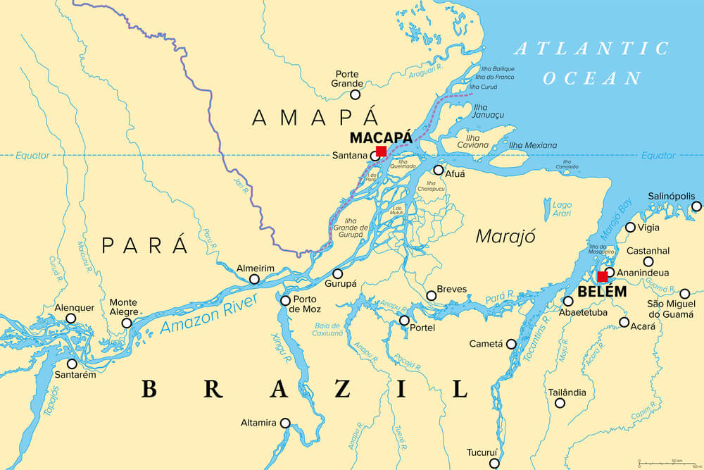
Early maps placing the Amazon’s source remained speculative and inconsistent across different cartographic versions through the colonial period. Successive expeditions up the Amazon and competing European powers’ exploration produced conflicting source location claims in published maps.
Definitive source determination required 19th-century scientific expeditions and systematic geographic survey.
The Shape and Extent of the African Interior
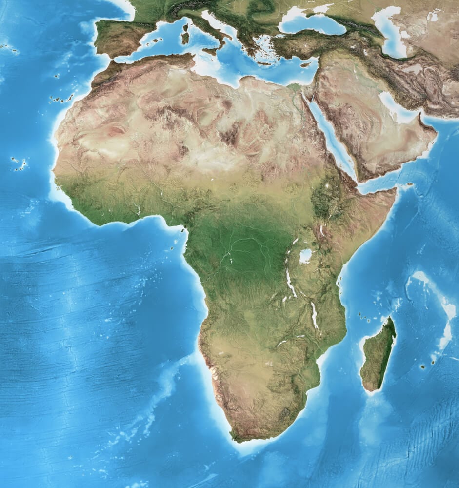
European maps through the 19th century contained vast uncertainties about Africa’s interior, depicting it variously as desert, impenetrable jungle, or ocean. The interior’s actual terrain and political geography remained cartographically speculative until European penetration and colonial conquest enabled systematic mapping.
Cartographic ignorance of African geography reflected limited exploration rather than inherent geographic mystery.
The Route and Geography of the Nile River
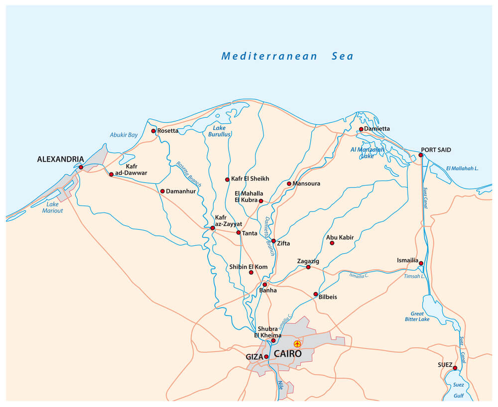
Ancient and medieval cartographers variously depicted the Nile’s source and course, with numerous versions showing the river originating from fictional mountains or following implausible routes. The Nile’s true source remained cartographically uncertain until 19th-century exploration of Central Africa resolved centuries of speculation.
Nile source maps reflected speculation based on limited exploration rather than empirical geographic knowledge.
The Siberian Interior’s Cartographic Mysteries
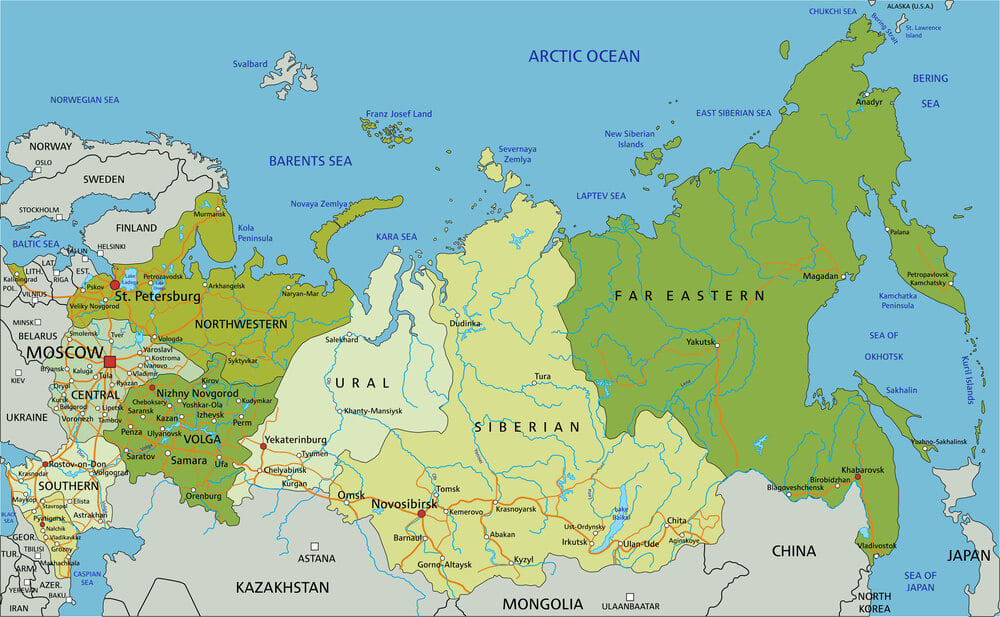
Russian explorers gradually pushed eastward across Siberia, yet cartographic representation of Siberia’s vast interior remained highly speculative through the 18th century. Multiple competing versions of Siberian geography circulated in European cartographic circles, each reflecting different explorer reports and speculative geography.
Systematic Siberian mapping required centuries of gradual Russian colonization and exploration.
The Philippine Islands’ Cartographic Confusion
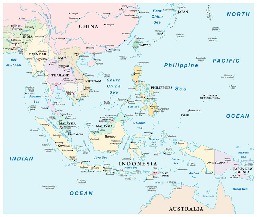
Spanish colonial maps of the Philippines frequently misrepresented the islands’ configuration, size, and relationship to each other, requiring centuries of correction. Limited early exploration combined with the islands’ actual geographic complexity created persistent cartographic confusion.
Spanish colonial cartographers gradually improved accuracy through extended occupation and systematic island surveys.
The Tasman Sea’s Discovery and Cartographic Impact
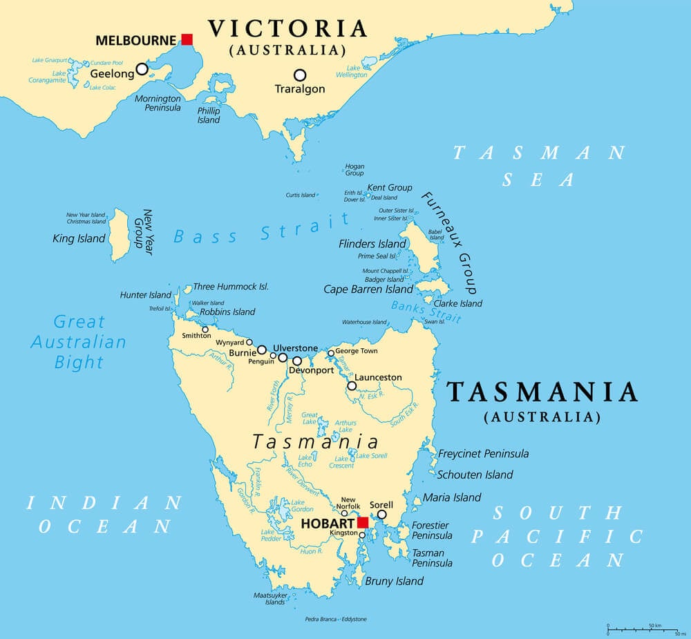
Abel Tasman’s 1642 discovery of Tasmania and his navigation of the Tasman Sea required cartographic revision of Australian geography, yet his reports of a sea between Australia and New Zealand initially met skepticism. Cartographic incorporation of Tasman’s discoveries proceeded gradually, requiring verification through subsequent expeditions before systematic inclusion in maps.
The North American Interior and Fictional Rivers
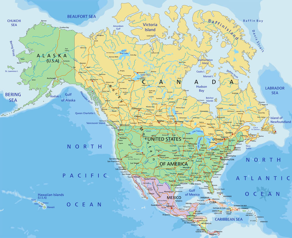
Early maps of the North American interior frequently depicted rivers that never existed, based on misinterpreted indigenous reports or explorer speculation. Fictional waterways including fictitious river sources and courses appeared in published maps for generations before exploration revealed the actual geography.
Cartographic error reflecting imaginative interpretation of limited information misguided subsequent exploration priorities.
The Suez Canal’s Pre-Excavation Cartography
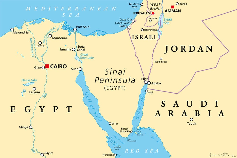
Maps predating the Suez Canal’s construction depicted Egypt with various routes across its isthmus, with some cartographers suggesting navigable water channels existed naturally. The canal’s construction in 1869 required revision of all East-West route cartography, transforming what appeared as desert barrier into traversable maritime passage.
Suez’s creation represents one history’s few instances of successful major cartographic transformation.
The Northeast Passage’s Uncertain Arctic Route
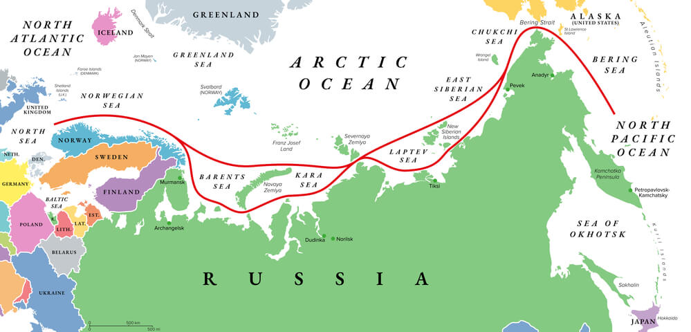
European cartographers speculated about a navigable water route across the Arctic north of Russia (the Northeast Passage), depicted variously in different maps based on unreliable explorer accounts. This fictional geography motivated centuries of polar exploration attempting to navigate a passage that required modern ice-breaking technology for viability.
Cartographic speculation directly motivated expensive exploration failures.
The Cartographic Uncertainty of the Arctic Archipelago
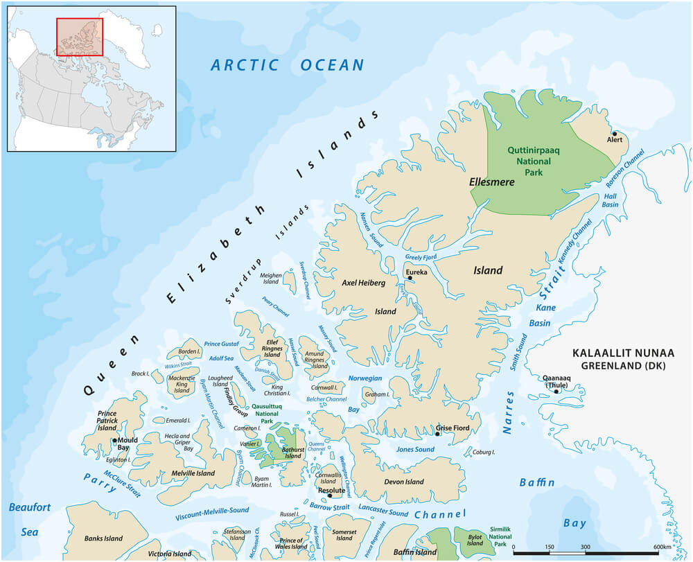
Early maps substantially misrepresented Canada’s Arctic archipelago, with numerous islands omitted or duplicated based on incomplete exploration. The archipelago’s actual configuration required modern exploration and survey to determine comprehensively.
Cartographic uncertainty reflected geographic reality—the Arctic remained one Earth’s last substantially unmapped regions until 20th-century technology enabled complete survey.
The Terra Australis Hypothesis and Cartographic Speculation
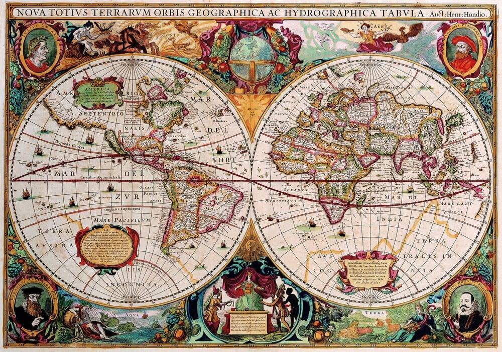
Medieval and early modern cartographers hypothesized an enormous southern continent (Terra Australis) balancing the northern hemisphere’s landmasses, depicted in numerous maps despite complete absence of evidence. This cartographic speculation influenced exploration priorities for centuries before Australian discovery and subsequent mapping revealed no southern supercontinent.
Cartographic theory superseded empirical evidence for generations.
The Magnetic Declination’s Cartographic Impact
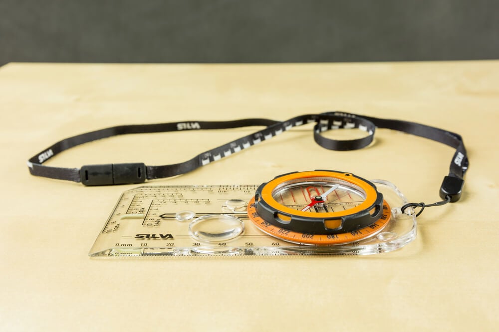
Early magnetic compass navigation led cartographers to misalign map north with true north, creating systematic directional distortions that propagated through multiple map generations. Magnetic declination varies geographically and temporally, complicating navigation and cartography.
Correcting these systematic errors required understanding magnetism’s complexity and implementing geographic correction standards.
Maps Reflecting Colonial Claims Rather Than Reality
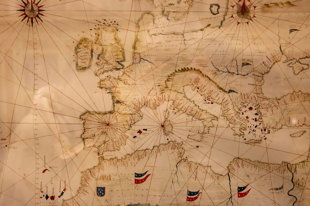
Imperial powers’ cartographic representations frequently depicted colonial possessions with inflated boundaries, depicting territorial claims rather than actual control. Colonial maps served as propaganda tools as much as navigational documents.
Cartographic representation of the empire exceeded actual control, influencing later international disputes over territorial boundaries established through map-referenced treaties.
The Amazon-Plate Divide’s Cartographic Confusion
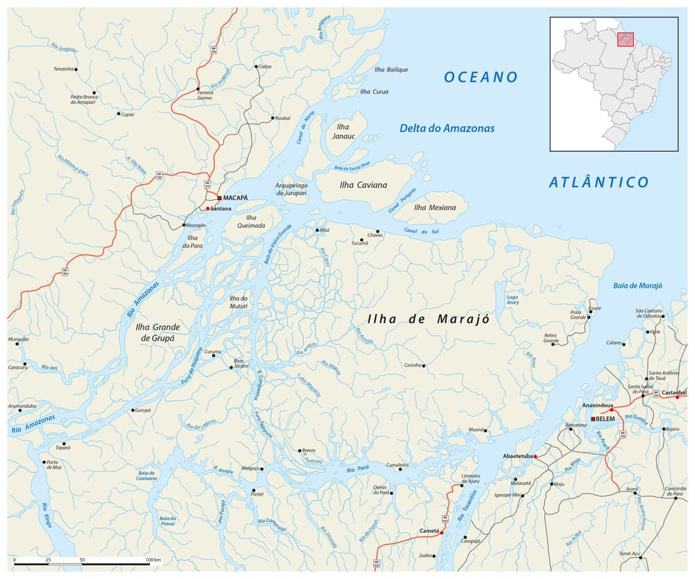
Seventeenth and eighteenth-century maps frequently misrepresented the boundary between the Amazon and Plate river systems in South America, with competing Spanish and Portuguese cartographic claims. The boundary’s precise location required systematic survey and political negotiation through the colonial period and beyond.
Cartographic uncertainty reflected incomplete geographic knowledge combined with imperial territorial disputes.
The Peru-Brazil Boundary’s Shifting Representation
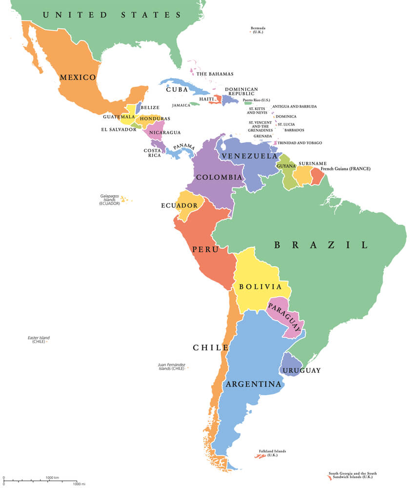
The Amazon’s precise course through territories claimed by multiple powers created cartographic uncertainty regarding Peru-Brazil boundaries. Successive cartographic versions reflected different imperial claims and exploration data, with boundary precision requiring modern survey methods.
Cartographic history reflects how disputed territory generates competing geographic representations.
When Maps Believed Themselves Into Wrong
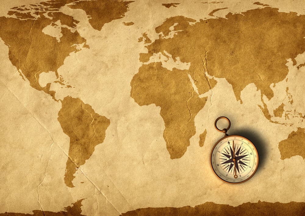
Cartographic error perpetuates when subsequent mapmakers copy previous maps rather than consulting original exploration sources or conducting new surveys. The history of cartography reveals how mistakes compound through iterations of map reproduction, creating systematic errors that become embedded in cartographic tradition.
Correcting established cartographic errors requires deliberate research and revision rather than occurring automatically through knowledge accumulation.
More from Go2Tutors!

- The Romanov Crown Jewels and Their Tragic Fate
- 13 Historical Mysteries That Science Still Can’t Solve
- Famous Hoaxes That Fooled the World for Years
- 15 Child Stars with Tragic Adult Lives
- 16 Famous Jewelry Pieces in History
Like Go2Tutors’s content? Follow us on MSN.