26 Old Maps and Atlases Collectors Frame and Keep
A map is one of the few collectibles that tells you exactly how wrong the past was about the present. Borders shift, place names disappear, and entire coastlines get redrawn as surveying technology improved, and all of that history sits quietly on a single printed sheet.
That is why so many old maps end up framed rather than filed away. They are documents first and decorations second, and collectors tend to want both qualities visible at once.
USGS Topographic Quadrangle Maps, Early Editions
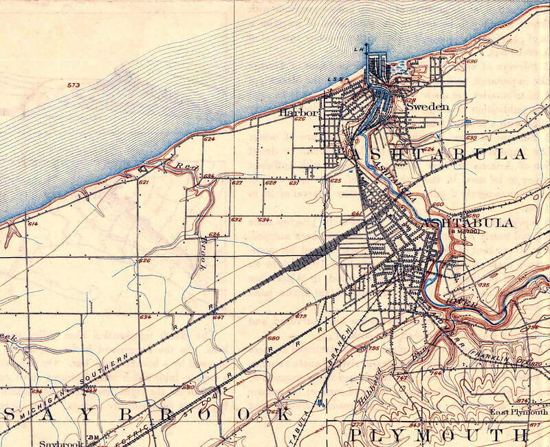
Early editions of United States Geological Survey topographic quadrangle maps, produced beginning in the late 1800s to document specific regions in detailed contour lines, are collected both by map specialists and by buyers with a personal connection to the mapped area. First editions of a specific quadrangle, before later revisions updated road networks and place names, are generally more sought after than later reprints of the same area.
Rand McNally Road Atlases, Early Editions
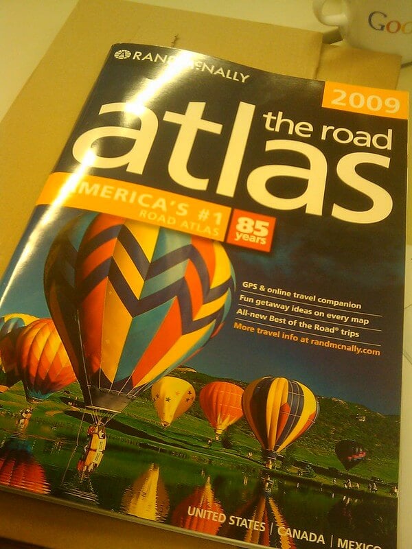
Rand McNally’s road atlases, published annually beginning in the early twentieth century, are collected as a documentary record of how the American highway system developed over time. Early editions, particularly those published before the interstate highway system was completed in the mid-twentieth century, are valued for showing now-obsolete road numbering and routing.
Sanborn Fire Insurance Maps
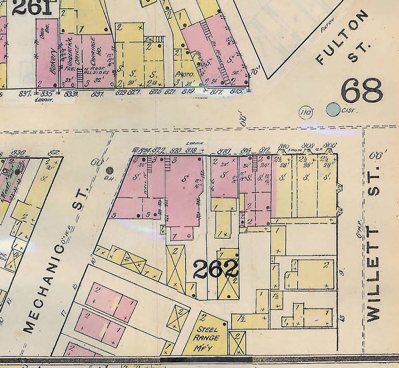
Sanborn maps, produced from the late 1800s through the mid-twentieth century to help insurance companies assess fire risk, document individual buildings, building materials, and street layouts for thousands of American towns in extraordinary detail. Local historians and genealogists are frequent buyers of maps covering a specific, identifiable town, since these maps often provide the only surviving detailed record of a neighborhood’s earlier layout.
Railroad Company Route Maps
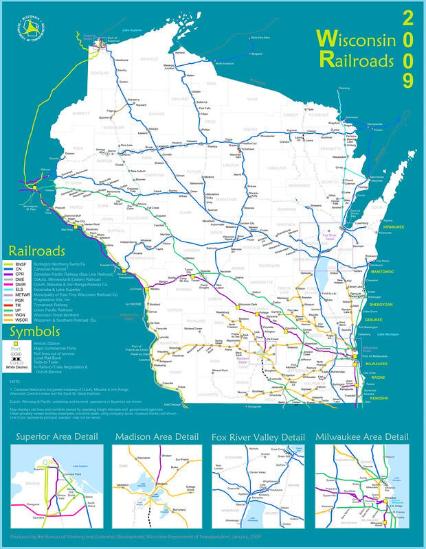
Maps produced by individual railroad companies to promote their routes, common through the late 1800s and early 1900s, are collected both for their cartographic detail and their decorative company branding. Maps from railroad lines that were later abandoned or absorbed into larger companies are generally scarcer, and correspondingly more valuable, than maps from lines that operated for decades under a single well-documented name.
National Geographic Supplement Maps
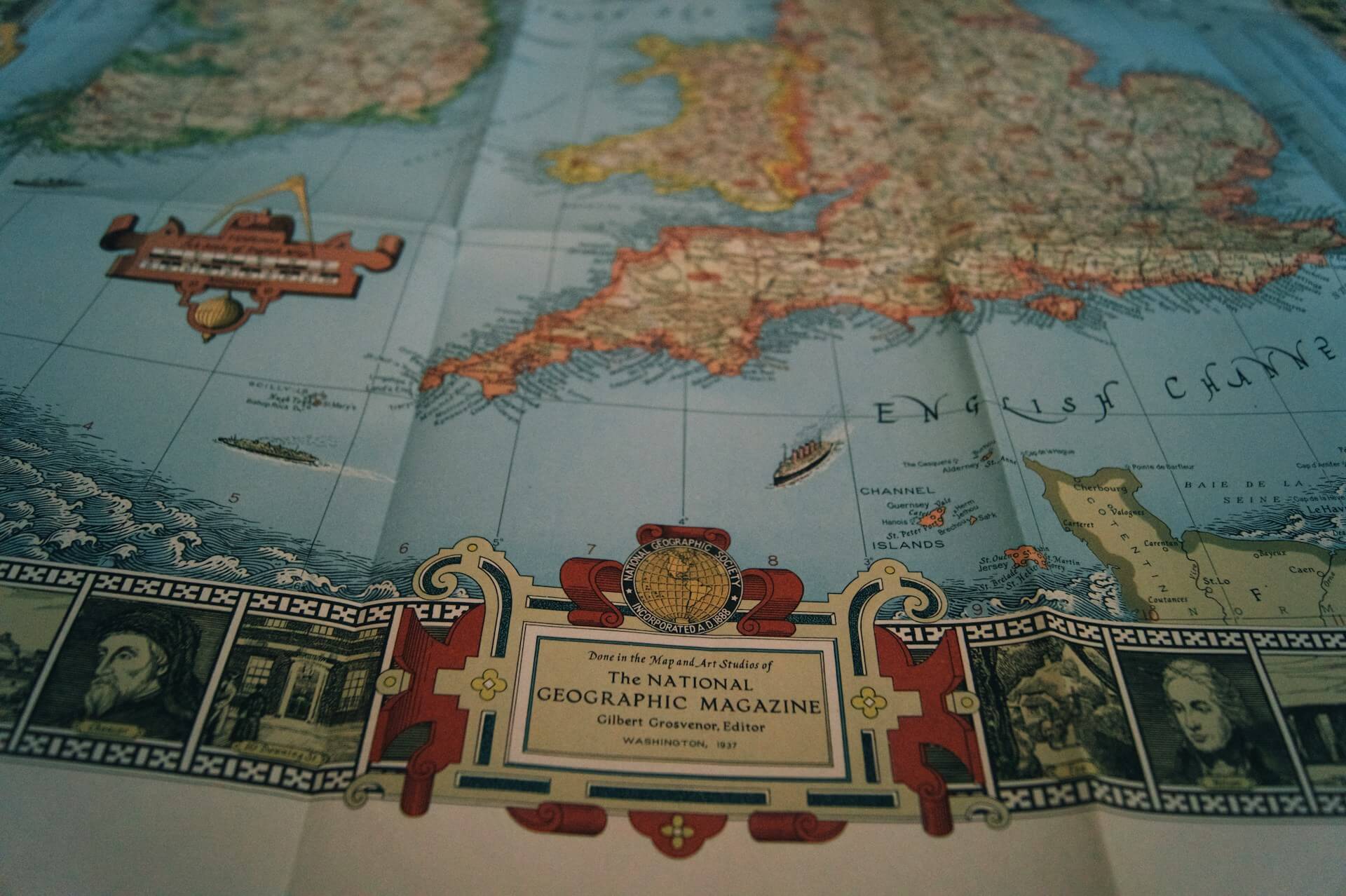
Maps distributed as supplements folded into National Geographic magazine issues, a practice the publication has continued for over a century, are collected both individually and as complete thematic sets. Early supplement maps, particularly those depicting regions during periods of significant political change, draw stronger interest than more recent, widely available supplements.
Coast and Geodetic Survey Nautical Charts
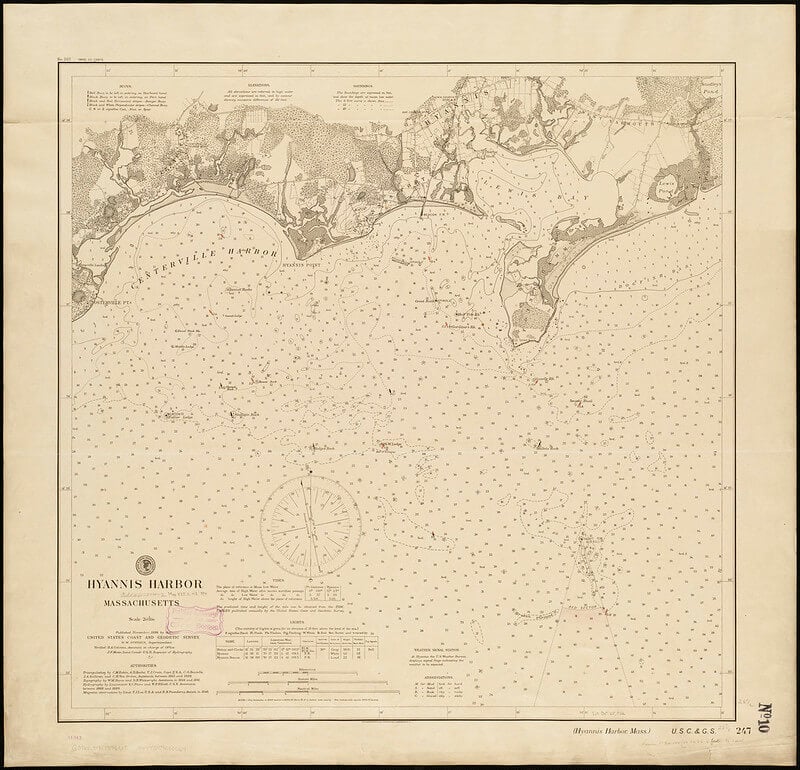
Nautical charts produced by the United States Coast and Geodetic Survey, documenting coastlines, harbors, and shipping channels, are collected both by maritime historians and by residents of the specific coastal areas depicted. Charts showing now-changed shorelines, relocated navigation markers, or since-demolished lighthouses are particularly sought after for their documentary value.
Hand-Colored Antique World Maps
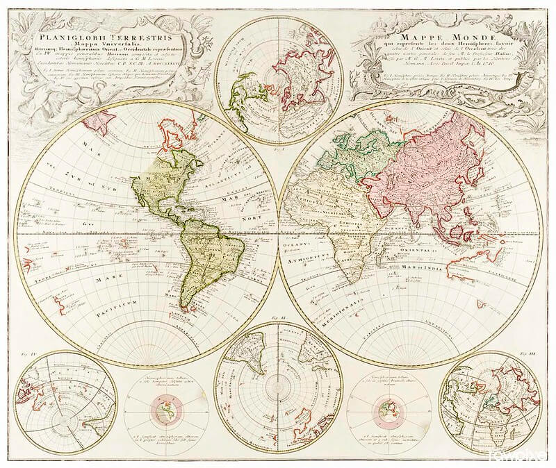
World maps from the seventeenth through nineteenth centuries, hand-colored after printing according to period practice, are among the more expensive items in map collecting due to their age and the labor involved in their original production. Condition of the hand-coloring, along with the accuracy of period-correct pigments rather than later added color, significantly affects how specialists value these pieces.
County Atlas and Landowner Maps, 1800s
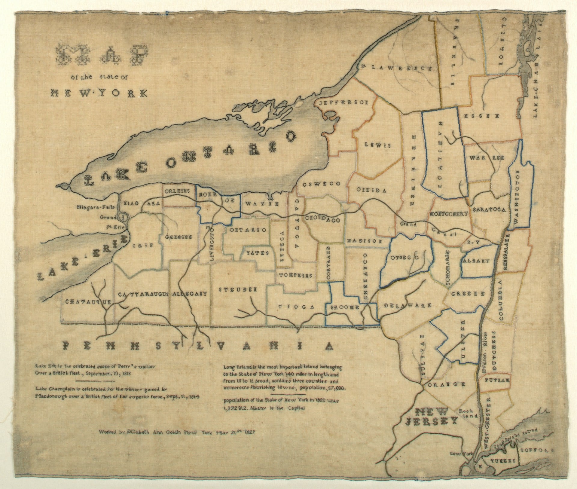
County atlases published in the mid-to-late 1800s, which mapped individual property boundaries and often labeled specific landowners by name, are heavily sought after by genealogists tracing family land ownership. A landowner map showing an identifiable ancestor’s property is frequently worth far more to that specific buyer than its general market value would suggest.
Aeronautical Charts, Early Aviation Era
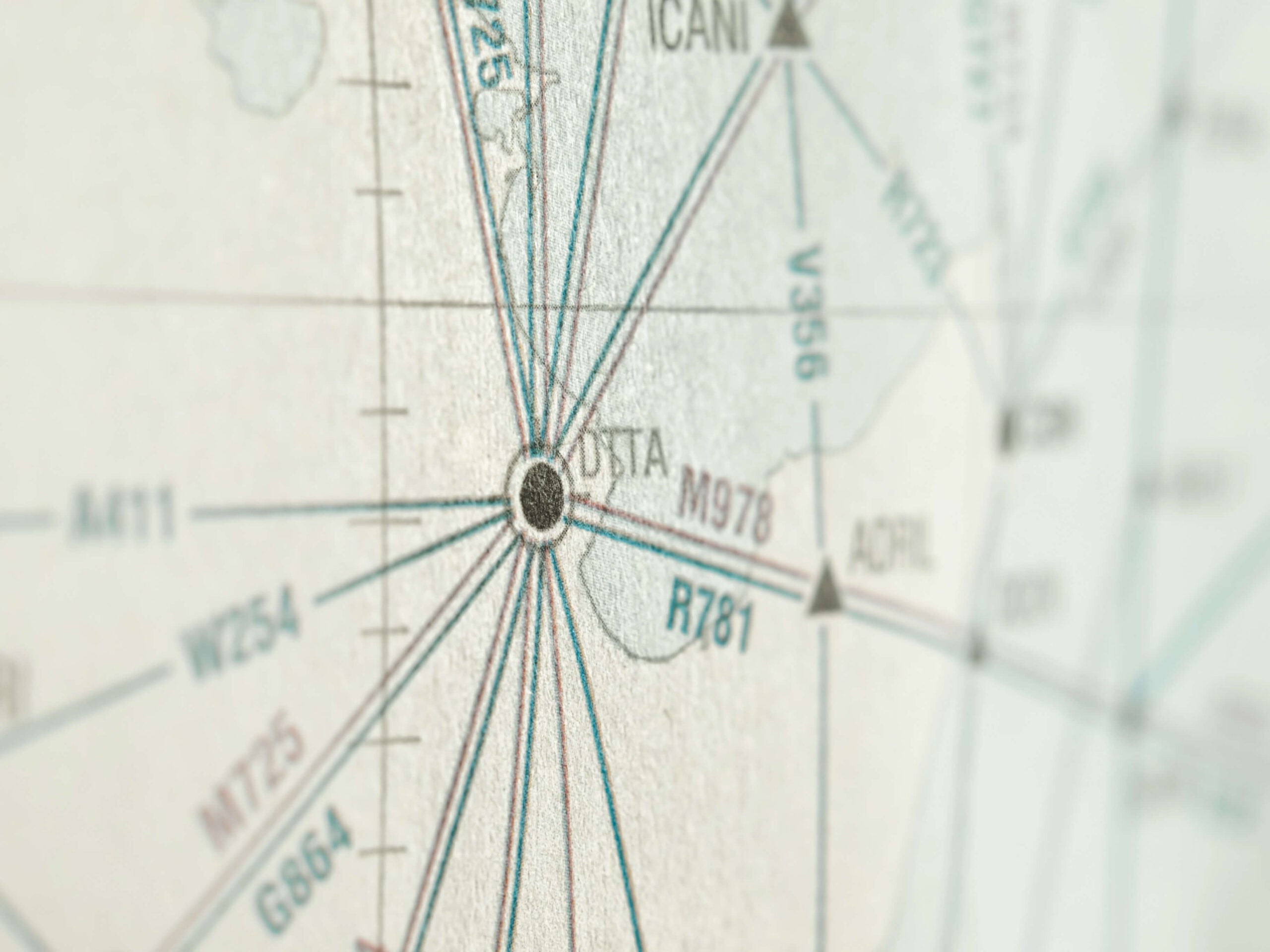
Aeronautical charts produced for early commercial and private aviation, beginning in the 1920s and 1930s, document a period when air navigation relied heavily on visible ground landmarks rather than electronic instruments. Charts covering regions with now-closed airfields or discontinued flight routes are collected as aviation history alongside their cartographic interest.
Pocket Maps of Cities, Fold-Out Style
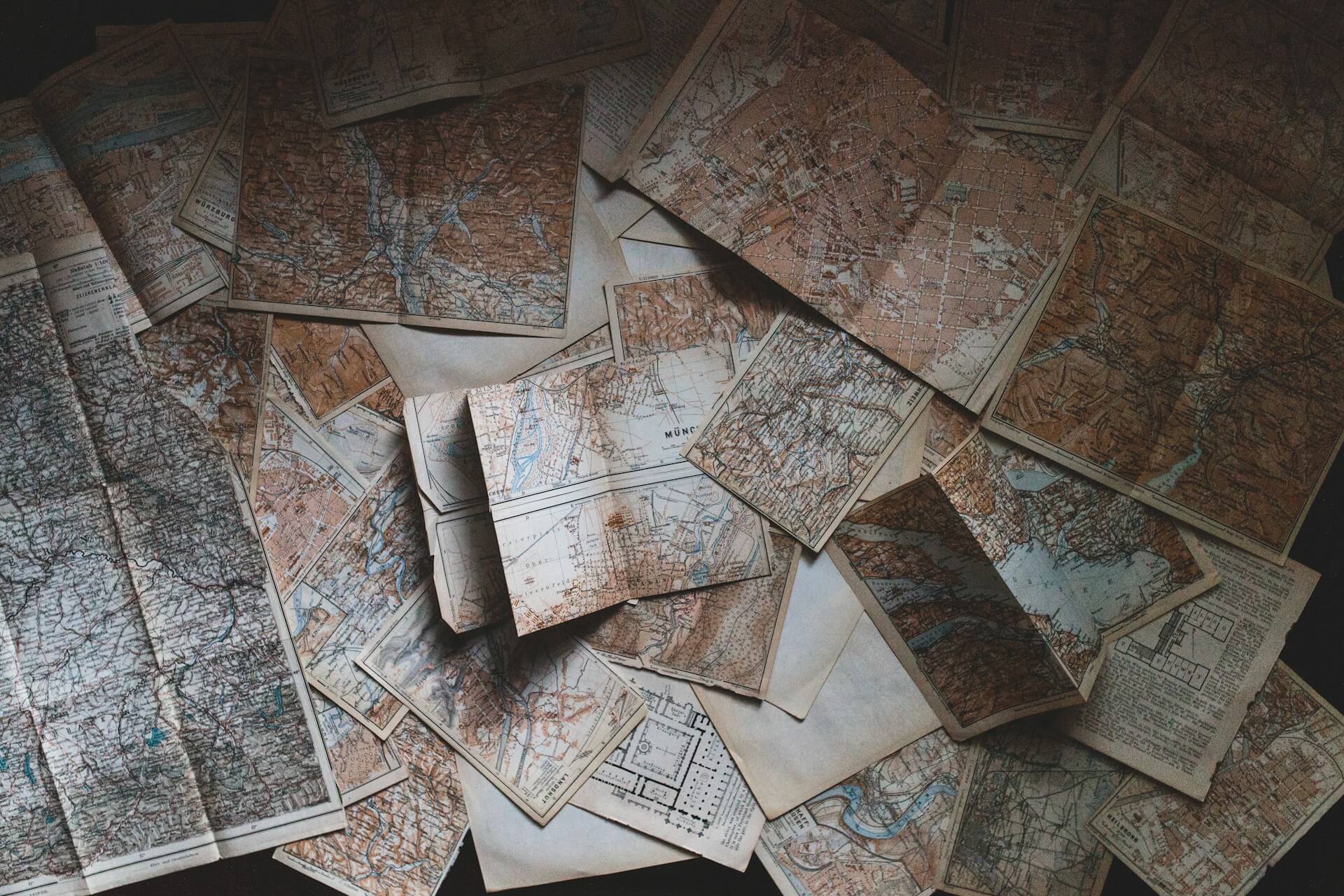
Compact fold-out pocket maps of specific cities, designed for travelers and produced by numerous regional publishers through the nineteenth and twentieth centuries, are collected both for their portable format and their documentation of a city’s earlier street layout. Maps that fold cleanly along their original creases, without splitting, bring more than examples with damaged fold lines.
Ordnance Survey Maps, Early British Editions
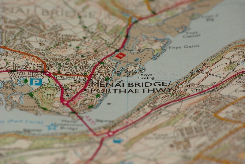
Early editions of Britain’s Ordnance Survey maps, produced beginning in the late 1700s and continuing through detailed nineteenth-century revisions, are collected both in the United Kingdom and internationally by specialists in historical British cartography. The survey’s reputation for precision makes early editions valuable references for historians studying specific regions.
Civil War Era Military Campaign Maps
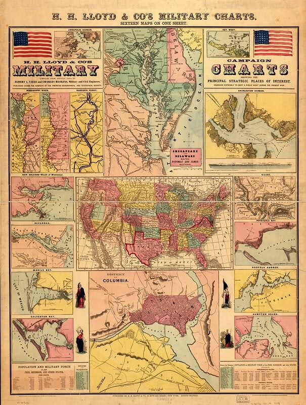
Maps produced during or shortly after the American Civil War to document troop movements and battle sites are collected both by military historians and by descendants of soldiers who served in specific documented engagements. Maps published contemporaneously with the events they depict are considered more historically significant than later retrospective maps covering the same campaigns.
Blaeu and Ortelius Atlas Plates
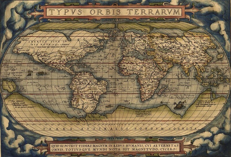
Individual plates removed from historical atlases produced by cartographers including Willem Blaeu (17th century) and Abraham Ortelius (16th century) are collected both as complete original atlas volumes and, more commonly today, as individually framed plates. Because complete original atlases are extremely scarce, individually sold plates represent the more accessible entry point into this tier of map collecting.
Homestead and Land Grant Survey Maps
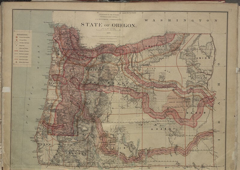
Maps documenting federal land surveys used to allocate homestead claims across the American West are collected by genealogists and regional historians tracing settlement patterns in specific areas. Surveys tied to a documented, named homesteader carry particular value to descendants researching family history in that specific location.
Streetcar and Transit System Maps
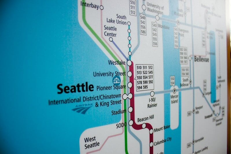
Maps documenting historical streetcar and early transit networks in American cities, many of which were dismantled by the mid-twentieth century in favor of automobile infrastructure, are collected as urban planning history. Maps from cities where the streetcar system has been completely erased from the modern landscape are particularly valued for preserving a layout that would otherwise be undocumented.
Panoramic Bird’s-Eye View City Maps
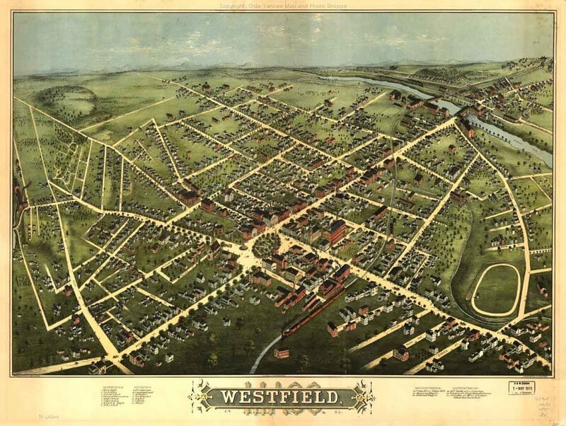
Bird’s-eye view maps, an illustrated style popular in the late 1800s that depicted an entire city as though viewed from above at an angle rather than a flat overhead perspective, are collected both for their cartographic content and their artistic quality. Views of smaller towns, which were less frequently mapped in this style than major cities, are often scarcer and more valuable than views of well-documented large cities.
Postal Route Maps
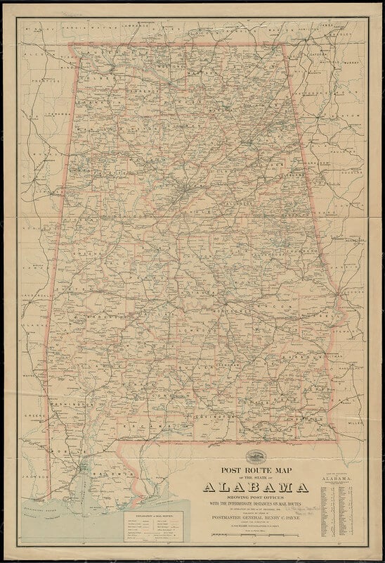
Maps documenting official postal delivery routes, including early Rural Free Delivery route maps from the early twentieth century, are collected by postal historians studying the expansion of mail service into rural areas. These maps are often the only surviving documentation of specific, now-defunct delivery routes in a given region.
World War II Era Military Situation Maps
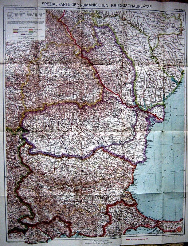
Situation maps produced during World War II to track troop positions and front lines are collected both by military historians and by collectors of the specific campaigns depicted. Maps that were used operationally, showing hand-marked annotations from their original military use, are considered more historically significant than clean, unused printed copies.
Oil and Mineral Survey Maps
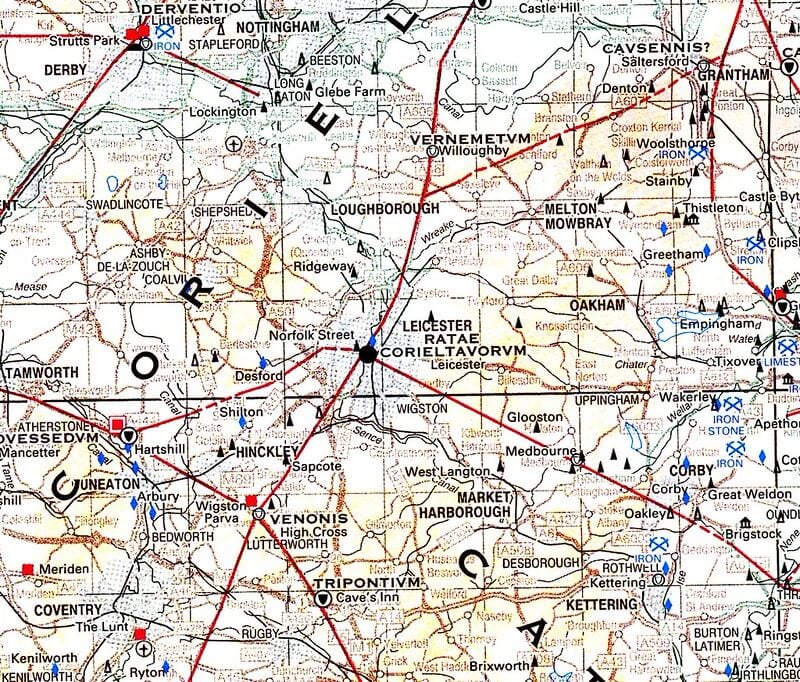
Maps produced to document oil, gas, and mineral survey claims, particularly from regions that experienced significant resource booms in the late 1800s and early 1900s, are collected both as regional economic history and by descendants of families involved in the original claims. These maps often name specific claim holders, which adds genealogical interest beyond their general cartographic value.
School and Educational Wall Maps

Large wall maps produced specifically for classroom use, common in American schools through much of the twentieth century, are collected today largely for their oversized, decorative scale. Maps depicting now-outdated national borders or since-renamed countries are particularly popular with collectors interested in twentieth-century political history.
Ski Resort and Recreation Trail Maps
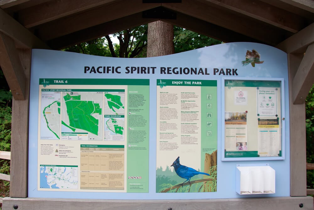
Trail maps produced for individual ski resorts and outdoor recreation areas, particularly from smaller or now-closed resorts, are collected by enthusiasts of a specific mountain or region’s recreational history. Maps from resorts that have since closed entirely are especially sought after, since they may represent the only surviving documentation of the resort’s original trail layout.
Immigrant Ship Route and Passenger Line Maps
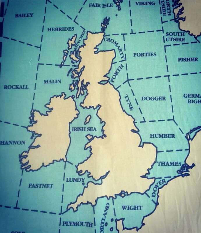
Maps produced by shipping companies to promote transatlantic passenger routes during major immigration periods are collected both for their decorative company branding and their connection to family immigration history. Maps naming a specific shipping line that a collector’s own ancestors traveled on carry particular personal value beyond general market interest.
Wall-Mounted Pull-Down Classroom Maps on Rollers

Large classroom maps mounted on wooden rollers for pull-down display, a common fixture in mid-twentieth-century American schools, are collected both for their oversized graphic presence and their nostalgic connection to classroom memories. Working roller mechanisms and undamaged map surfaces are essential to their value, since the canvas backing is prone to tearing with age.
Whaling and Maritime Trade Route Charts

Charts documenting historical whaling grounds and maritime trade routes, particularly from the nineteenth-century whaling industry, are collected both by maritime historians and by descendants of families connected to that industry in specific port towns. These charts are considered a niche but dedicated category within broader nautical chart collecting.
Fold-Out Gas Station Highway Maps, Early Twentieth Century
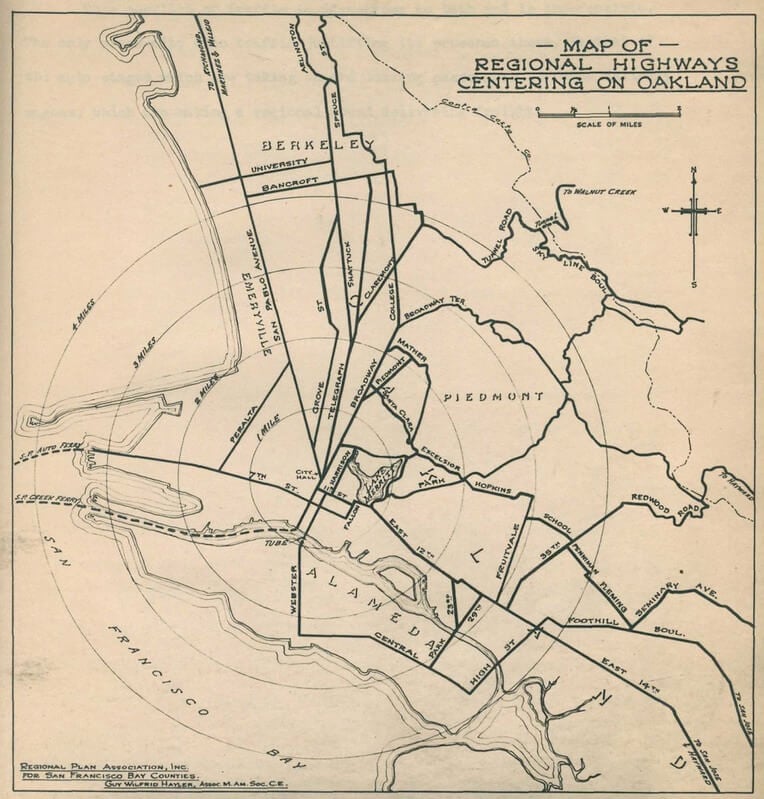
Free highway maps distributed by gas stations, particularly the earliest examples from before national road numbering was standardized, are collected both alongside petroliana more broadly and as a distinct cartographic category documenting the early automobile era. Maps in unfolded, uncreased condition are notably scarcer than well-used, heavily folded examples.
Custom Surveyor’s Plat Maps
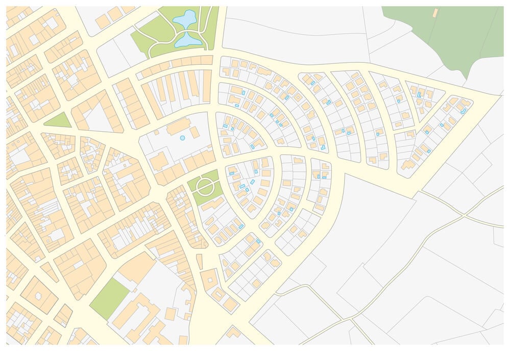
Hand-drafted plat maps produced by individual surveyors to document specific property boundaries, distinct from mass-printed published maps, are collected primarily by local historians and property researchers interested in a specific, named parcel of land. Their one-of-a-kind, hand-drawn nature means each surviving example is inherently unique rather than one copy among a larger print run.
The Appeal of a Map That Got It Wrong
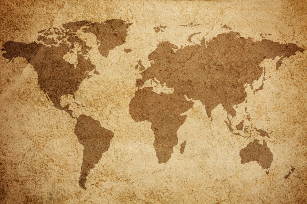
Every old map on a collector’s wall is, in some small way, a record of a mistake, whether that means a border that no longer exists, a town that was later renamed, or a coastline surveyed before better instruments corrected it. None of that makes the map less valuable; if anything, it is exactly what makes it worth keeping.
A modern map corrects itself constantly and therefore erases its own history in the process. An old one cannot do that, which is why collectors are drawn to the specific moment a given map froze in place, borders and all, long after the world it described had already started to change around it.
More from Go2Tutors!

- The Romanov Crown Jewels and Their Tragic Fate
- 13 Historical Mysteries That Science Still Can’t Solve
- Famous Hoaxes That Fooled the World for Years
- 15 Child Stars with Tragic Adult Lives
- 16 Famous Jewelry Pieces in History
Like Go2Tutors’s content? Follow us on MSN.