25 Maps That Showed Places That Were Never There
Cartography used to be part science and part rumor. Mapmakers routinely copied earlier maps without independent verification, absorbed sailors’ half-remembered sightings, and occasionally filled in a blank ocean with land that sounded plausible enough to include.
Some of these phantom places lingered on official charts for centuries before anyone bothered to check. The places below all appeared on real, widely circulated maps, in some cases used for actual navigation, despite not existing at all.
Their staying power says more about how slowly cartographic errors get corrected than about any individual mapmaker’s carelessness.
California as an Island

For roughly two centuries starting in the early 1600s, many European maps depicted California as a large island entirely separate from the North American mainland, a misconception likely originating from an early Spanish expedition that misread the geography of the Gulf of California. The error was repeated and reinforced across multiple influential maps despite conflicting reports from other explorers who had traveled the actual coastline.
Even after Spanish missionaries confirmed California’s peninsular connection to the mainland in the early 1700s, some mapmakers continued reproducing the island version out of habit or simple copying. The misconception was not fully eliminated from published maps until well into the eighteenth century.
Terra Australis
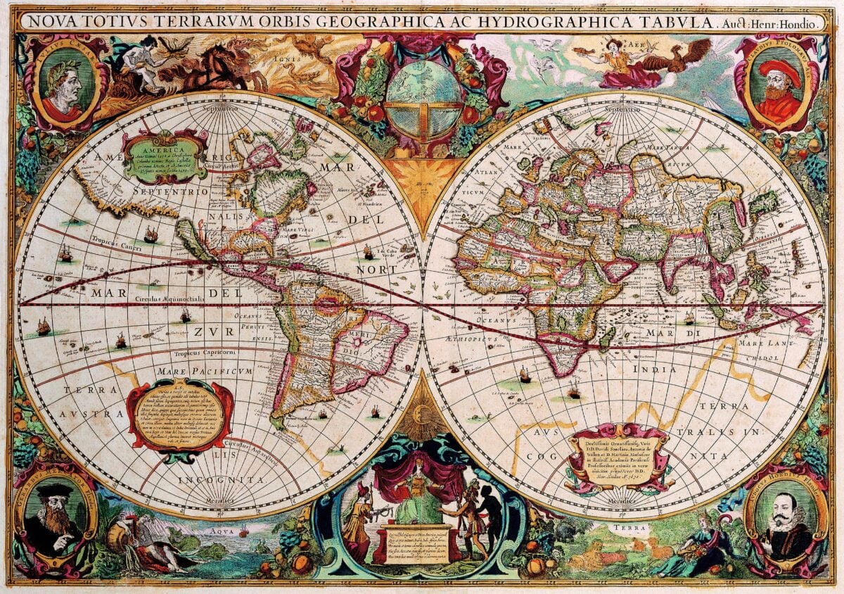
Ancient and medieval geographers theorized the existence of a massive southern continent, Terra Australis, believed necessary to balance the landmasses known to exist in the northern hemisphere. Cartographers filled in this hypothetical continent across a huge and often wildly inaccurate area of the southern Pacific and Indian Oceans for centuries, despite no one having actually confirmed its extent or precise location.
Captain James Cook’s extensive Pacific voyages in the 1770s finally disproved the existence of a continent of the scale long depicted, ruling out most of the territory earlier maps had confidently filled in. The much smaller, real continent of Antarctica would not be confirmed until the following century, leaving the original theoretical Terra Australis as a case of guesswork wildly overestimating what was actually there.
Hy-Brasil
Hy-Brasil appeared on maps of the North Atlantic as early as the fourteenth century, typically shown as a circular island off the west coast of Ireland, and persisted in various forms on published charts for over five hundred years. Sailors periodically reported sighting the island through the centuries, often attributing its elusiveness to a persistent mist or fog said to conceal it from view.
The island was not formally removed from British Admiralty charts until 1865, an extraordinarily long run for a landmass that never existed. Its name is coincidentally unrelated to the South American country of Brazil, despite frequent modern confusion between the two.
Frisland
The island of Frisland appeared on numerous influential maps beginning in the late sixteenth century, positioned in the North Atlantic near Iceland and Greenland, largely due to a map published by the Zeno brothers claiming to document their own family’s earlier Arctic voyages. Later scholars determined the Zeno map was substantially fabricated or badly distorted, yet it had already been copied into other cartographers’ work by the time the fraud was recognized.
Frisland continued appearing on maps for roughly a century after its origins were seriously questioned. Its case remains a textbook example of how a single fraudulent source document could contaminate an entire generation of otherwise careful cartography.
Sandy Island
Sandy Island appeared on nautical charts and even digital mapping services near New Caledonia in the South Pacific well into the twenty-first century, despite not actually existing. Australian researchers aboard a scientific research vessel sailed directly through the island’s charted coordinates in 2012 and confirmed only open ocean, prompting the island’s formal removal from major databases.
Investigators traced the error back through a chain of maps eventually tracing to whaling-era charts from the nineteenth century, an error that had simply never been independently rechecked. The episode demonstrated that phantom islands were not purely a pre-modern problem, since this particular error persisted into the era of satellite mapping.
Bermeja

Spanish colonial maps from as early as the sixteenth century depicted an island called Bermeja off the northern coast of Mexico’s Yucatan Peninsula, and the island continued appearing on Mexican government maps into the twentieth century. Modern satellite surveys and dedicated search expeditions have failed to locate any island at the charted coordinates, and its disappearance carries real political significance because of maritime boundary and oil rights calculations that assumed its existence.
Some researchers have speculated the island may have genuinely eroded away or submerged over the centuries, while others argue it may never have existed at all. The dispute remains unresolved and continues to affect Mexico’s negotiating position regarding Gulf of Mexico resource boundaries.
The Mountains of Kong
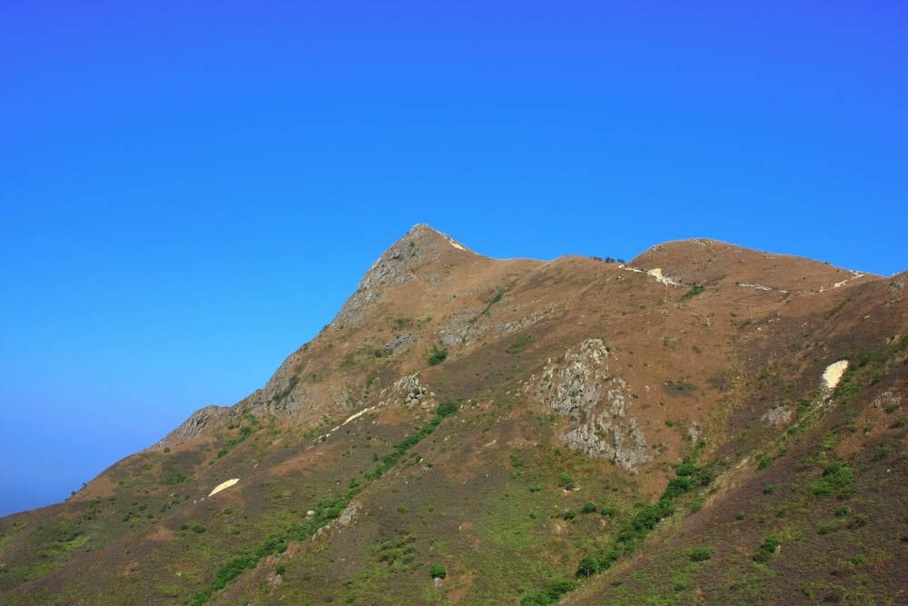
A supposed mountain range stretching across a large portion of West Africa, known as the Mountains of Kong, appeared on European maps for roughly a century after being introduced by British geographer James Rennell in the late 1790s, based on secondhand travel reports. Later, more thorough exploration of the region in the nineteenth century found no such continuous mountain range existed anywhere near the depicted location.
The range had been reproduced with increasing confidence and geographic detail on successive maps despite no one ever having directly surveyed it. Its eventual removal required cartographers to significantly revise their understanding of West African river systems that had previously been drawn as originating from the imaginary mountains.
Thule
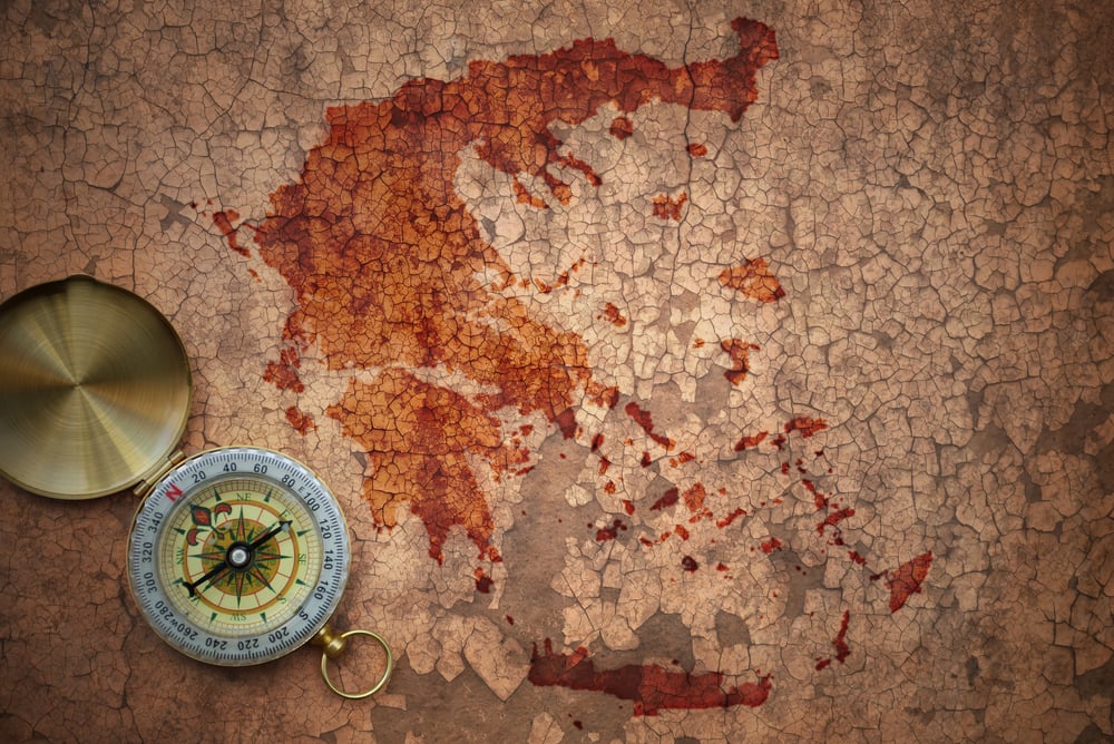
Ancient Greek explorer Pytheas described a distant northern land called Thule during a voyage in the fourth century BCE, and the exact location he intended remained a subject of speculation among later geographers for well over a thousand years. Various medieval and Renaissance mapmakers placed Thule in wildly different locations, including parts of Norway, Iceland, and even Greenland, depending on their own theories.
No single confirmed location was ever established, since Pytheas’s original account survives only through fragments quoted by later writers rather than in its complete original form. Thule persisted for centuries as a vague cartographic placeholder for whatever unexplored northern territory a given mapmaker imagined might exist.
Antillia
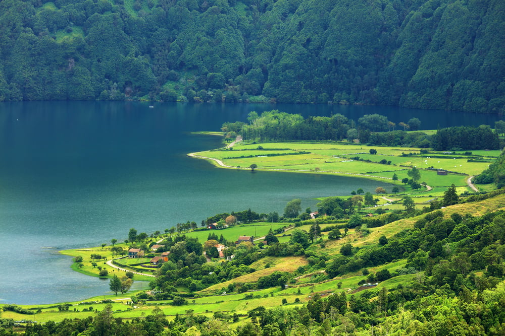
Also known as the Isle of Seven Cities, Antillia appeared on Atlantic maps beginning in the fifteenth century, tied to a legend of Portuguese bishops who supposedly fled westward across the ocean during the Islamic conquest of the Iberian Peninsula centuries earlier. The island featured prominently on charts used by explorers, including some maps Columbus himself may have consulted before his own westward voyage.
No landmass matching Antillia’s charted position was ever found, though some historians speculate the legend may have loosely influenced the later naming of the Antilles island chain in the Caribbean. The island quietly disappeared from serious cartography once the actual geography of the Atlantic became better established through direct exploration.
Saint Brendan’s Island
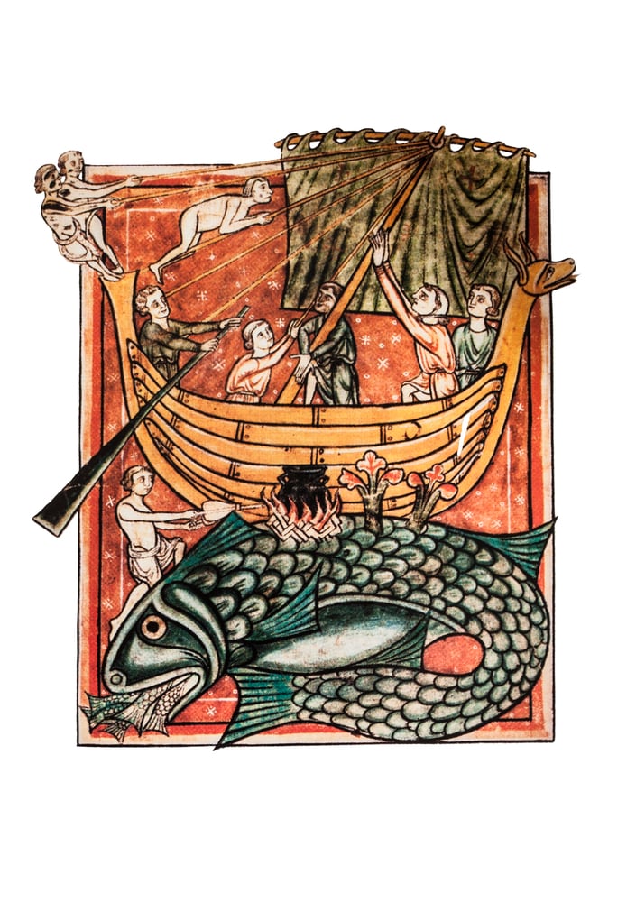
Rooted in a medieval Irish legend describing the voyage of the monk Saint Brendan across the Atlantic, Saint Brendan’s Island appeared on maps for centuries, often placed somewhere in the vicinity of the Canary Islands or further out into open ocean. Various later expeditions, some explicitly commissioned to locate the island, returned without finding anything matching its description.
The island persisted on official Spanish and Portuguese maps into the eighteenth century, long after most other purely legendary Atlantic islands had been dropped from serious cartography. Its association with a real historical figure gave it unusual staying power compared to more anonymous phantom islands.
Crocker Land
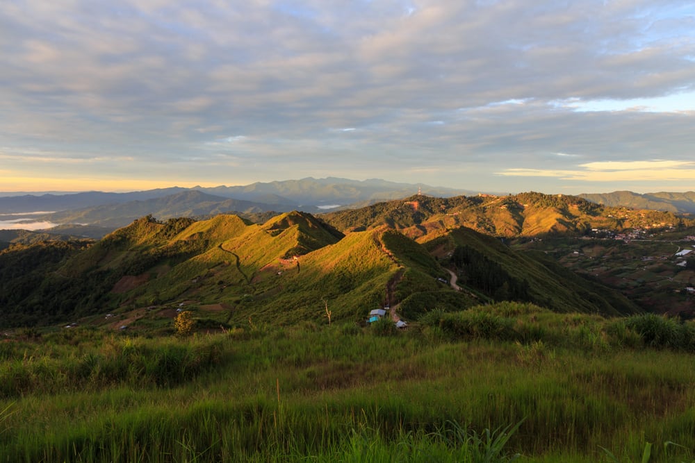
American explorer Robert Peary reported sighting a large landmass to the northwest of Ellesmere Island during a 1906 Arctic expedition, naming it Crocker Land after one of his financial backers. A dedicated expedition launched specifically to locate and explore Crocker Land between 1913 and 1917 found nothing but open ocean and ice at the reported coordinates, after years of difficult and costly searching.
Some historians have since suggested Peary may have fabricated the sighting entirely to please the wealthy backer the land was named for, rather than having genuinely observed a mirage. The expedition sent to confirm it remains one of the most expensive and dangerous efforts in history mounted specifically to verify a phantom landmass.
Rupes Nigra
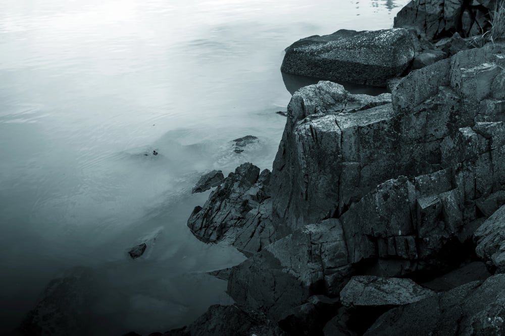
Sixteenth-century cartographer Gerardus Mercator depicted a massive black rock, Rupes Nigra, standing at the exact geographic North Pole, believed by some contemporary theorists to be magnetic and responsible for attracting compass needles. The rock appeared on several influential maps of the era, surrounded by turbulent seas that supposedly explained the difficulty of ever reaching the pole directly.
No such feature exists at the North Pole, which is covered by shifting sea ice rather than any fixed landmass, let alone a giant magnetic rock. The theory nonetheless reflected genuine period confusion about the nature of magnetic compass behavior near the poles.
The Isle of Demons
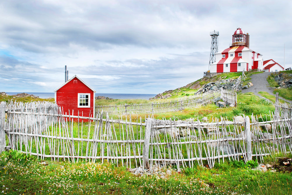
A phantom island appeared on sixteenth-century maps near the coast of Newfoundland, known as the Isle of Demons and associated with a real historical incident involving a French noblewoman named Marguerite de la Rocque, who was reportedly marooned there by her own relative during a colonial expedition. Sailors of the era claimed to hear strange cries and sounds near the island’s charted location, feeding its ominous reputation and reinforcing its place on navigational charts.
No island matching the description has ever been definitively located at the charted coordinates. The legend combined a documented human tragedy with cartographic error into one of the more genuinely eerie phantom island stories.
Buss Island
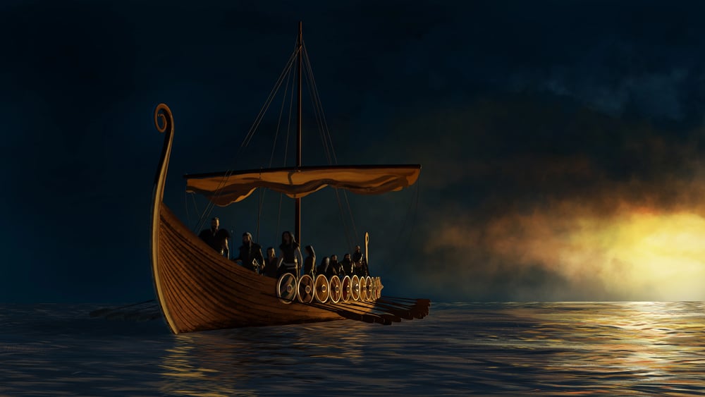
A ship called the Busse reportedly sighted a large island near Greenland in 1578 during an English expedition, and the landmass, subsequently named Buss Island, appeared on maps for roughly two centuries afterward. Later search expeditions specifically dispatched to locate the island in the eighteenth century found nothing at the reported position beyond the open ocean.
Some geographers speculated the island might have existed and later sunk beneath the waves, an explanation that briefly gained some scientific credibility before being generally dismissed. Buss Island was formally removed from most serious maps by the early nineteenth century.
Java la Grande

Sixteenth-century French maps produced in Dieppe depicted a large landmass south of Java, labeled Java la Grande, showing coastal features that some modern researchers have controversially argued represent an early, garbled European awareness of Australia’s northern coastline. Mainstream historians remain divided on this interpretation, with many arguing the landmass more likely reflects speculative extension and exaggeration of actual Indonesian geography rather than genuine advance knowledge of Australia.
No consensus has been reached on exactly what combination of real information and invention produced the map’s unusual coastline. The debate remains one of the more contested open questions in the history of Pacific cartography.
New South Greenland
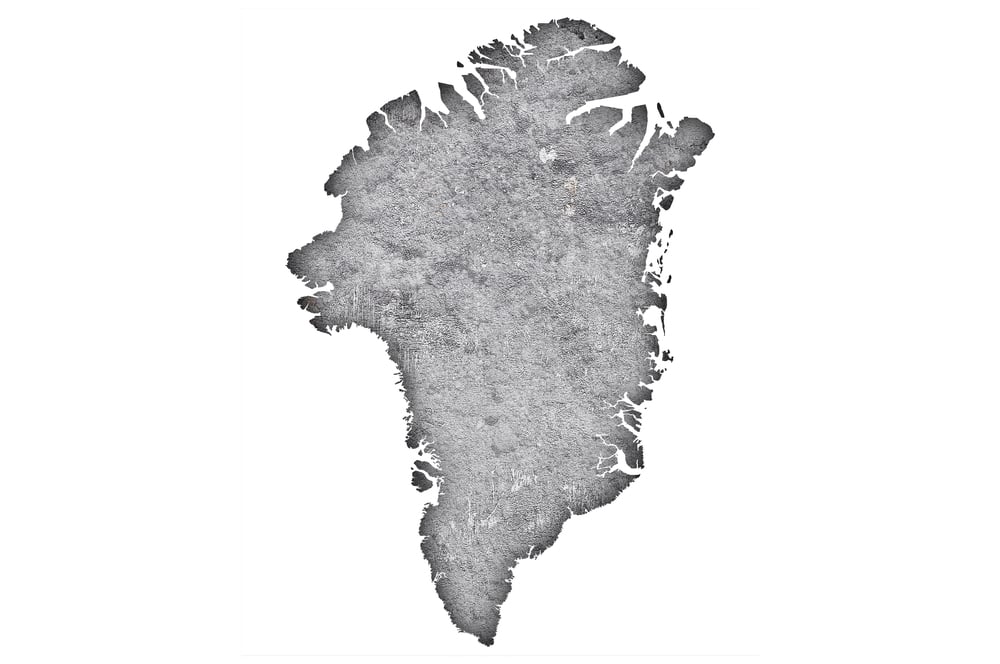
American sealing captain Benjamin Morrell reported discovering a substantial landmass in the Southern Ocean in 1823, naming it New South Greenland and providing detailed coastal descriptions in his subsequently published account. Later Antarctic expeditions surveying the same region found no such landmass anywhere near the coordinates Morrell had described.
Historians have since suggested Morrell’s account, like several of his other reported discoveries, may have been substantially fabricated or exaggerated to enhance his reputation as an explorer. The phantom continent lingered on some maps for decades before being conclusively ruled out by more systematic Antarctic surveying.
Dougherty Island
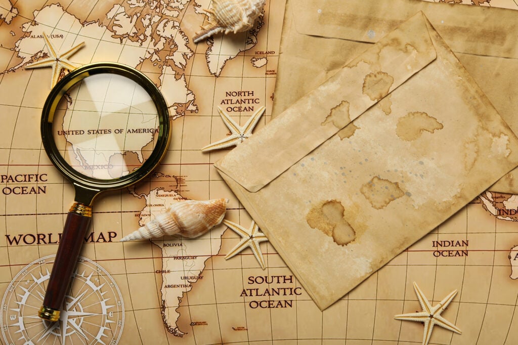
A sealing captain reported sighting an island in the far Southern Ocean in 1841, and the landmass, subsequently named Dougherty Island, appeared on maps and charts well into the twentieth century despite no consistent confirmation from later ships passing through the area. Several vessels reported conflicting sightings or failed searches at slightly different coordinates over the following decades, adding to the confusion about its exact location, if it existed at all.
Modern satellite surveys have found no landmass anywhere in the general vicinity of any of the reported sightings. The island was formally dropped from official nautical charts during the twentieth century after repeated failed searches.
The Nimrod Islands
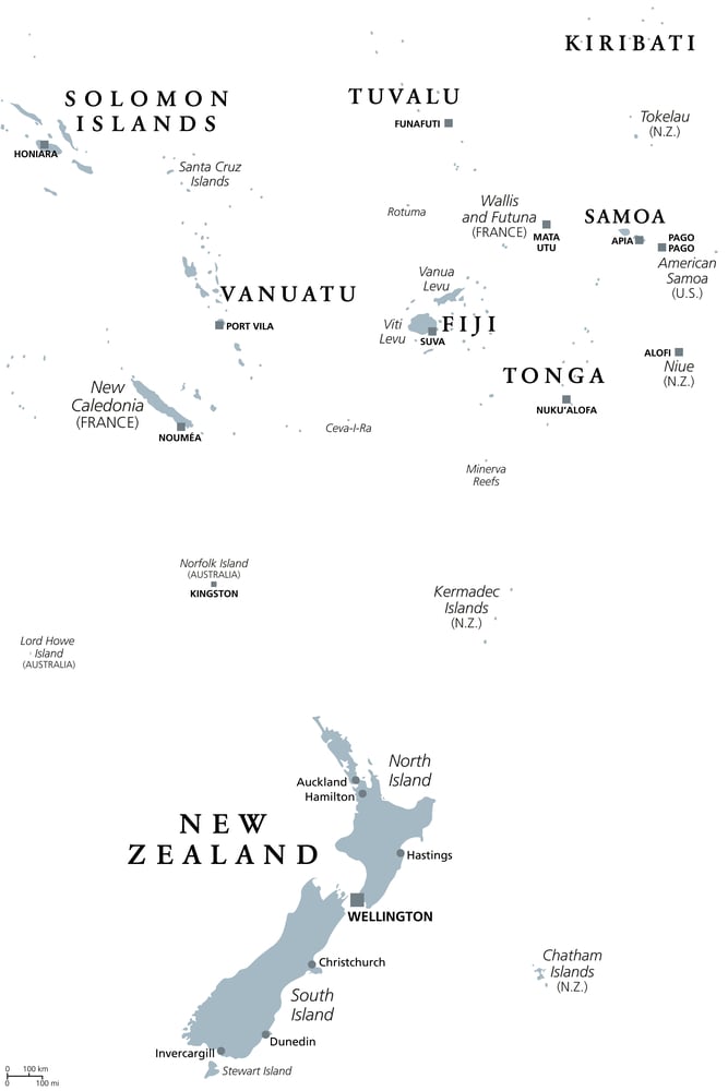
Reported south of New Zealand in the early twentieth century and named after the ship whose crew claimed to sight them, the Nimrod Islands, sometimes called the Emerald Isles, appeared on official maps and charts for several decades. Subsequent expeditions dispatched specifically to survey the area found no islands anywhere near the reported coordinates.
New Zealand’s government did not formally remove the islands from official charts until the early twentieth century, after enough failed search attempts accumulated to settle the question. The case remains a relatively well-documented example of a phantom island being officially charted and later officially retracted within a relatively short span of decades.
Mayda
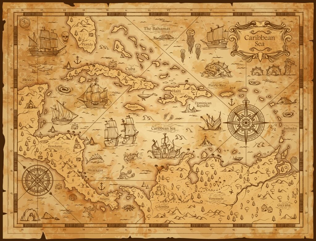
A phantom island known as Mayda, sometimes labeled Isle of Mam, appeared on numerous medieval and Renaissance maps southwest of Ireland, often depicted with a distinctive crescent or horseshoe shape that recurred across different mapmakers’ versions. Its origins remain unclear, with some historians speculating it may represent a garbled duplication of other genuine or legendary Atlantic islands rather than an independent sighting.
The island persisted in various forms across European cartography for several centuries before quietly disappearing as transatlantic exploration became more systematic. No coherent single origin story for the island has ever been firmly established.
Pepys Island
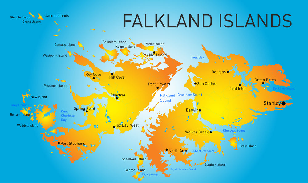
English privateer William Ambrosia Cowley reported sighting an island near the Falkland Islands in 1683, subsequently named Pepys Island after a patron, and the landmass appeared on maps for nearly a century afterward. Later cartographic and navigational analysis concluded that Cowley had most likely simply misidentified one of the actual Falkland Islands, recording its position incorrectly due to primitive navigational instruments of the era.
Search expeditions dispatched to locate Pepys Island as a separate landmass found nothing beyond the already known Falklands. The island was gradually dropped from serious maps once the true geography of the Falklands became better established through direct survey.
The Mountains of the Moon
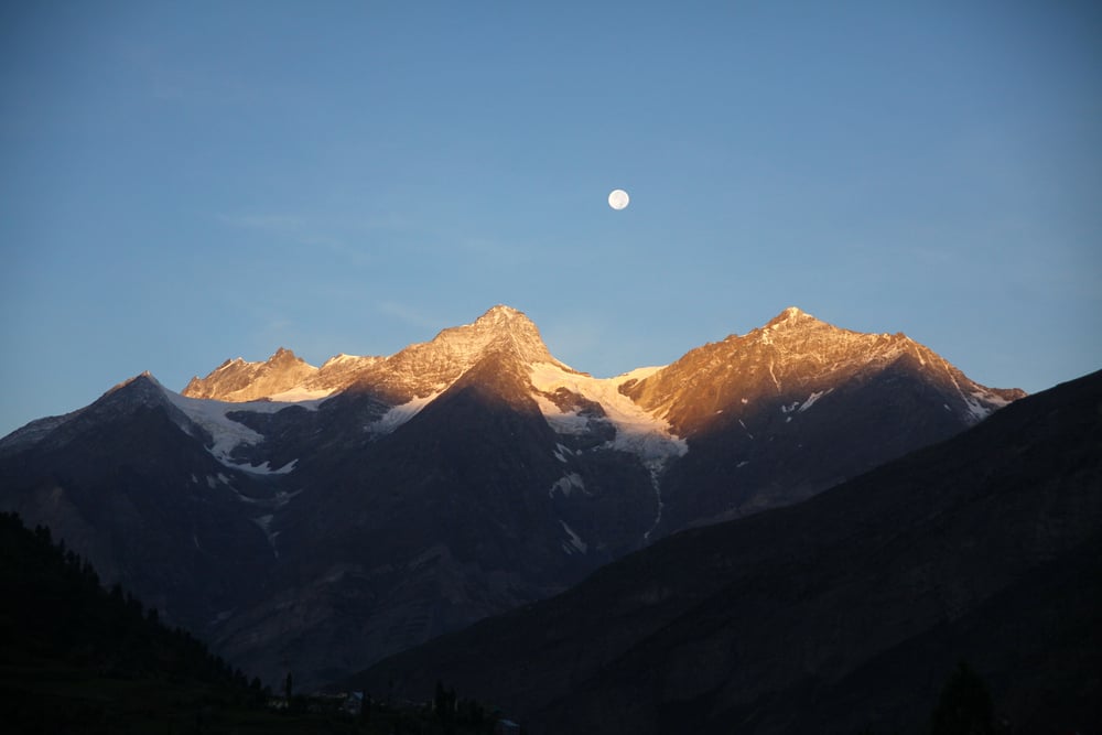
Ancient geographer Ptolemy identified a mountain range called the Mountains of the Moon as the legendary source of the Nile River, and this description was reproduced on maps for roughly eighteen centuries with little independent verification. Nineteenth-century explorers, including John Hanning Speke and Henry Morton Stanley, eventually identified the actual Rwenzori mountain range in East Africa as a plausible real-world basis for the ancient description, though the geographic details never matched perfectly.
The identification required significant reinterpretation of Ptolemy’s vague original description to fit an actual physical location. The case illustrates how an ancient reference could be technically vindicated in a general sense while still requiring centuries of correction to specific details.
The Aurora Islands
A Spanish ship named Aurora reported sighting a group of islands in the South Atlantic near South Georgia in 1762, and the islands appeared on official maps for roughly a century afterward, drawing several serious search expeditions. Multiple ships over subsequent decades reported inconsistent or contradictory positions for the supposed islands, adding to growing skepticism among cartographers of the era.
No islands matching any of the reported descriptions were ever conclusively located by more systematic nineteenth-century surveys. The Aurora Islands were eventually dropped from official charts once enough failed search expeditions had accumulated to outweigh the original sighting reports.
Isla Grande de Tierra del Fuego’s Phantom Extensions
Early European maps of the southern tip of South America, based on limited exploration of the region’s genuinely maze-like channels and islands, frequently included substantial coastline and additional landmasses in areas that later, more thorough surveying revealed to be either open water or considerably different in shape. Sailors navigating the actual straits and channels of Tierra del Fuego during the colonial era often found their charts bore little resemblance to the water in front of them.
Systematic survey work throughout the nineteenth century gradually corrected the region’s cartography, removing substantial invented landmasses that earlier mapmakers had filled in around genuine but incompletely explored coastlines. The region remains a notable example of how difficult, fragmented coastlines encouraged mapmakers to guess rather than leave sections blank.
Frisland’s Neighbor Estotiland

The same fraudulent Zeno map that introduced Frisland to European cartography also included a supposed North American landmass called Estotiland, described in the accompanying narrative as a sophisticated, previously unknown civilization reachable by Atlantic voyage. Estotiland appeared on various maps for decades following the Zeno publication, occasionally connected to broader theories about pre-Columbian European contact with the Americas.
No historical or archaeological evidence has ever supported the existence of the described civilization or location. Its disappearance from serious cartography closely tracked the gradual recognition that the entire Zeno map was substantially unreliable.
Drogeo

Rounding out the trio of invented lands introduced by the fraudulent Zeno map, Drogeo was described in the accompanying narrative as a vast territory southwest of Estotiland, populated by numerous distinct peoples and cities. Sixteenth-century readers had no independent way to verify or dispute the claim, since almost no other European sources described North American geography in comparable detail at the time.
The description influenced some early speculation about the scale and population of the unexplored American interior before more reliable exploration accounts became available. Like its companion locations on the same fabricated map, Drogeo never corresponded to any confirmed real place once the broader Zeno account was discredited.
Every Blank Space Was Once Filled With Something
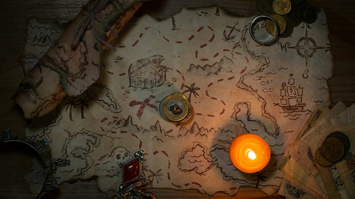
Old maps rarely showed empty ocean, because empty ocean looked like an admission of ignorance that mapmakers were reluctant to put their name to. Rumor, secondhand testimony, outright fraud, and simple mirages all found their way onto official charts, sometimes for centuries, before anyone had the means or motivation to check.
The pattern says less about the individual credulity of any one cartographer than about how information traveled before satellites and systematic surveys existed. A single confident claim, copied from map to map, could outlive the person who made it by hundreds of years.
The ocean, it turns out, was more patient than any of the sailors trying to chart it.
More from Go2Tutors!

- The Romanov Crown Jewels and Their Tragic Fate
- 13 Historical Mysteries That Science Still Can’t Solve
- Famous Hoaxes That Fooled the World for Years
- 15 Child Stars with Tragic Adult Lives
- 16 Famous Jewelry Pieces in History
Like Go2Tutors’s content? Follow us on MSN.