Lost Cities Archaeologists Found by Accident
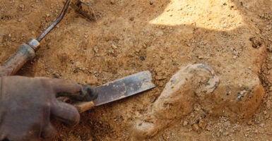
Archaeology likes to present itself as a discipline of grids, permits and patient hypotheses. Its record of finding entire cities tells a less flattering story, one that features well diggers, railway contractors, stray cattle and a misplaced shovel.
Many of the places below were never lost to the people living beside them, and several discovery tales have been tidied up in the retelling. The pattern holds anyway.
Somebody was looking for something else, and a city turned up instead.
Herculaneum and the Well That Hit a Theater
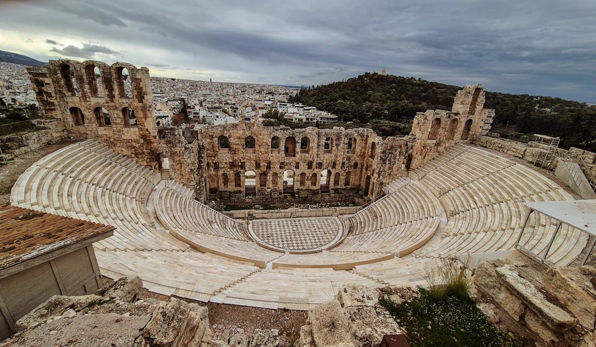
Workmen sinking a well at Resina, on the Bay of Naples, struck worked marble in 1709. They had dug straight down into the stage building of a Roman theater buried under roughly 60 feet of hardened volcanic material from the eruption of AD 79.
A commander in Austrian service, the Prince d’Elbeuf, bought the land and tunneled outward from the shaft, hauling out statues and colored marble for his villa with no record of where anything stood. Organized excavation waited until 1738, under the Bourbon king Charles.
Much of the ancient town still lies beneath modern Ercolano, which is why visitors look down into the ruins from street level.
Pompeii and the Canal That Missed the Point
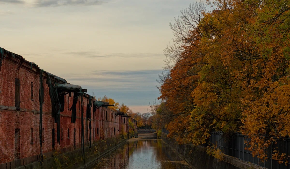
Between about 1592 and 1600 the architect Domenico Fontana drove a canal through a hill near the Sarno River to feed mills at Torre Annunziata. His crews cut through buried walls, painted plaster and inscriptions, and kept going.
Nobody followed up for a century and a half. Digging finally began in 1748, and even then the excavators believed they were working at Stabiae.
An inscription naming the town settled the matter in 1763. Fontana’s channel still runs under the site, a reminder that Pompeii was technically found twice and recognized only on the second attempt.
Derinkuyu Behind a Basement Wall
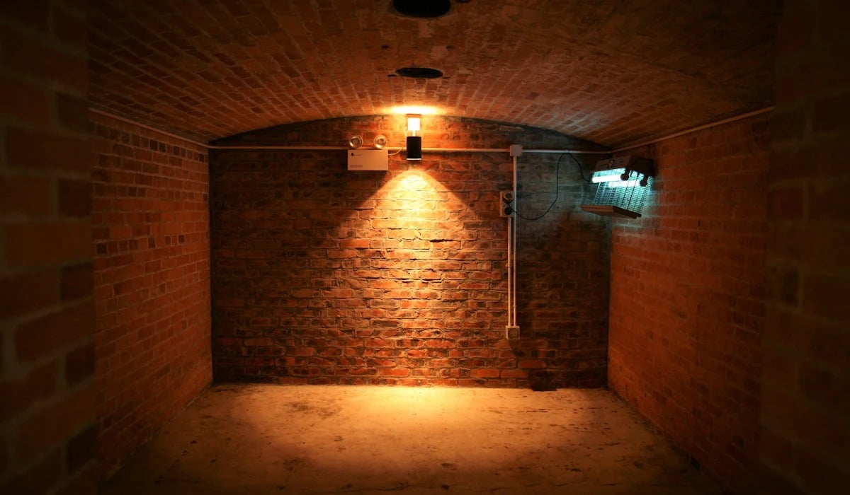
A homeowner in the Cappadocian town of Derinkuyu knocked through a wall during a renovation in 1963 and found a passage behind it. The passage led to another, and then to a subterranean city cut into soft volcanic tuff.
Published accounts describe as many as 18 levels reaching about 280 feet down, with stables, wine presses, chapels, ventilation shafts and rolling stone doors that sealed from the inside. Estimates that it could shelter 20,000 people are widely repeated and hard to prove.
The man’s name is absent from most accounts, and the popular version of the story is almost certainly neater than the event. Only the upper levels are open to visitors, who have been admitted since the late 1960s.
Akrotiri and the Suez Canal Quarries
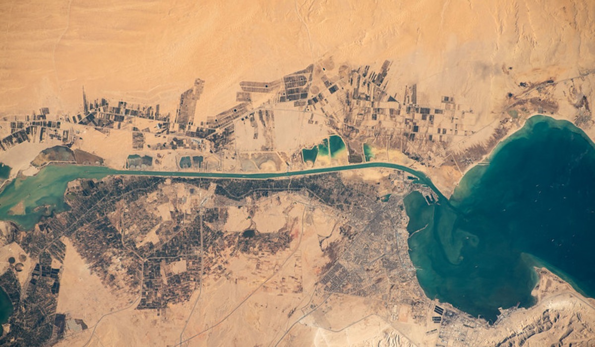
Builders of the Suez Canal in the 1860s needed volcanic ash for waterproof cement, and Santorini had mountains of it. Quarry crews working the ash on Santorini and neighboring Therasia began exposing stone walls and pottery far older than anything Greek history could explain.
The French geologist Ferdinand Fouque investigated in 1867 and recognized a prehistoric settlement sealed by an eruption. Systematic work came a century later, when Spyridon Marinatos opened trenches near the village of Akrotiri in 1967.
He found multistory houses with wall paintings still in place, and almost no human remains, which suggests the residents had enough warning to leave.
Ugarit Under a Farmer’s Plow

In 1928 a farmer working a field near the Syrian bay of Minet el-Beida caught his plow on a flat stone. Under it lay a vaulted tomb.
French authorities sent Claude Schaeffer, who began digging in 1929 and soon shifted to the large mound of Ras Shamra less than a mile inland. That mound was Ugarit, a Bronze Age trading port destroyed around 1190 BC.
Its archives held clay tablets written in a cuneiform script of just 30 signs, among the earliest known alphabets. The texts also preserved a body of Canaanite myth that scholars had previously known only through hostile references in the Hebrew Bible.
Mari and the Headless Statue
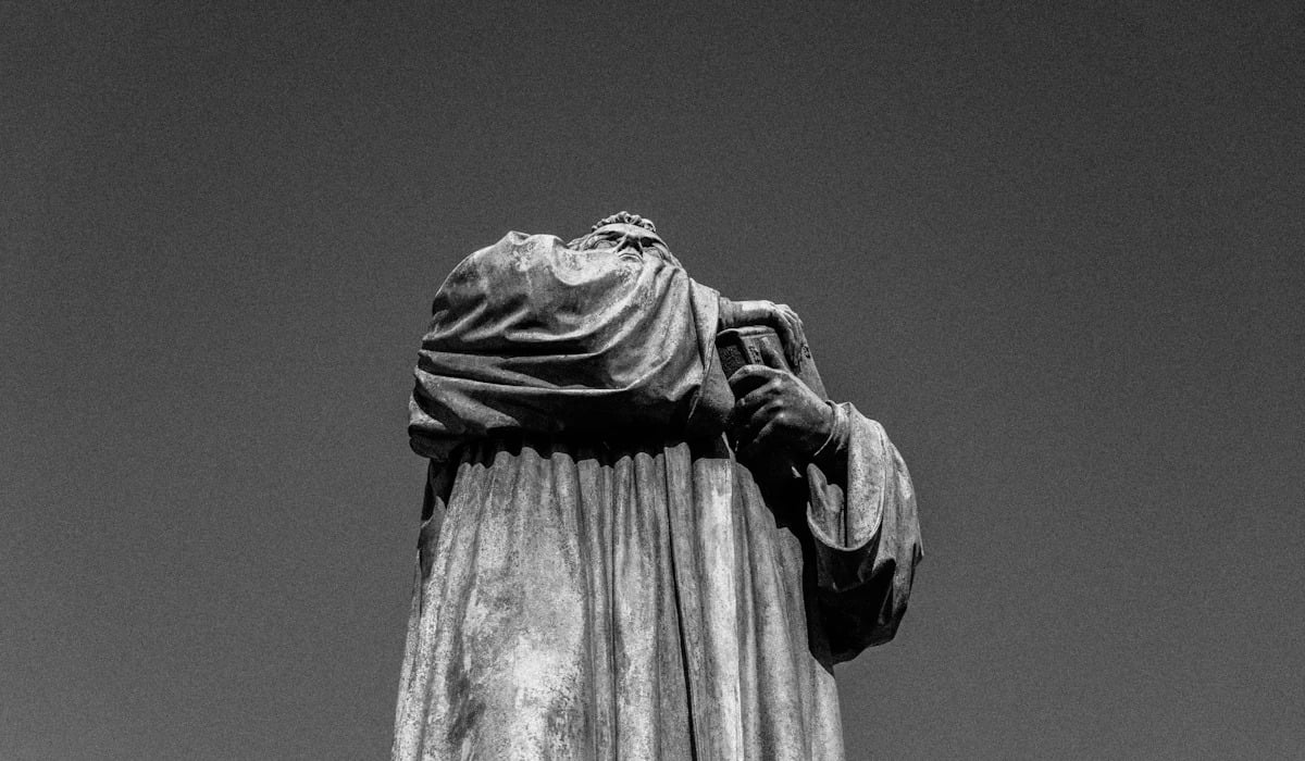
By the usual account, men from a village near Abu Kamal in eastern Syria were digging in a mound called Tell Hariri in August 1933, looking for a stone to cover a grave, when they pulled out a headless statue. The find was reported to the French authorities, and the Louvre dispatched Andre Parrot, who opened excavations that December.
An inscribed statue recovered within weeks identified the site as Mari, a city known from Mesopotamian king lists. Parrot went on to uncover a palace of more than 250 rooms and an archive usually put at more than 20,000 cuneiform tablets, many of them royal correspondence.
Amarna and the Tablets Dug for Fertilizer
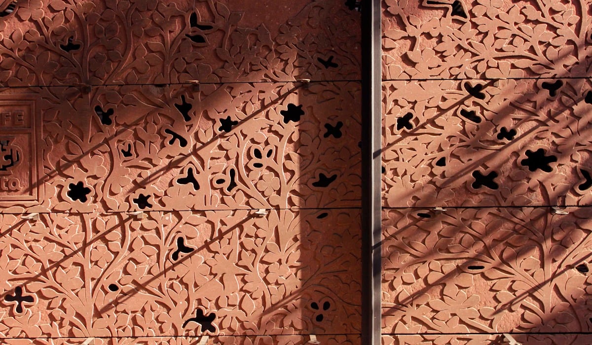
Travelers had sketched the ruins at Tell el-Amarna for decades without grasping their importance. That changed in 1887, when a local woman digging decayed mud brick for fertilizer reportedly turned up a cache of small clay tablets.
Dealers at first doubted they were genuine. They proved to be diplomatic letters in Akkadian cuneiform, sent to the Egyptian court by rulers in Babylon, Assyria, Cyprus and Canaan, and about 380 survive.
The correspondence drew Flinders Petrie to excavate in 1891, and the site was confirmed as Akhetaten, the short-lived capital built by the pharaoh Akhenaten and abandoned soon after his death.
Harappa in the Railway Bed
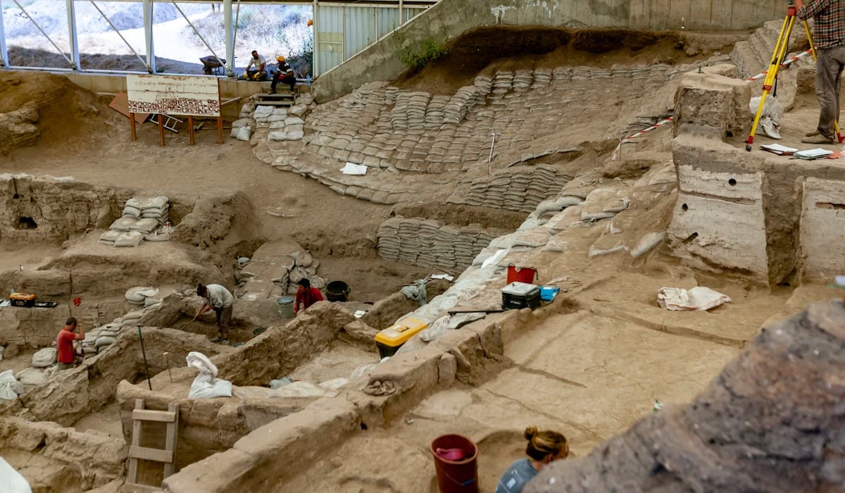
Engineers laying the line between Lahore and Multan in the 1850s needed hard fill for the track bed, and the mounds at Harappa offered an apparently endless supply of fired brick. Contractors carted it away by the trainload.
Alexander Cunningham, who visited more than once, published a small stone seal from the site in 1875 showing an unreadable script above a bull with no hump, and concluded it was foreign to India. Formal excavation began only in 1921 under Daya Ram Sahni.
By then long stretches of track rested on the remains of a city more than 4,000 years old, and its upper layers were gone for good.
Mohenjo-daro Beneath a Buddhist Stupa
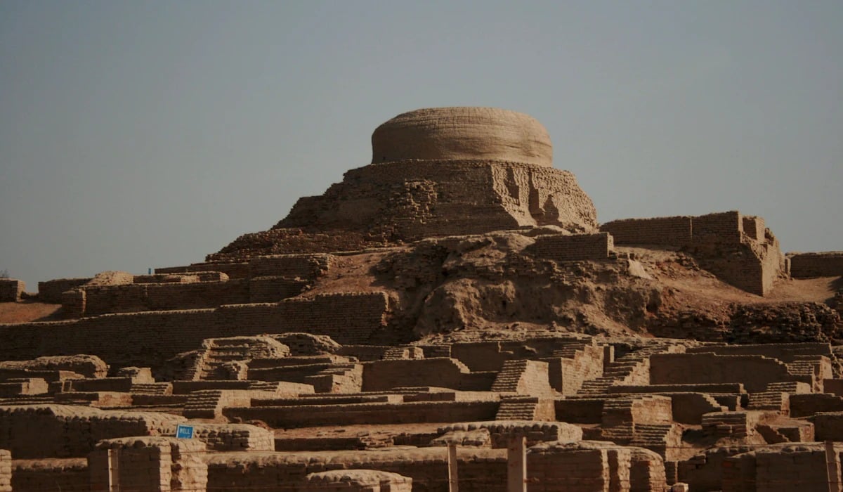
Rakhal Das Banerji of the Archaeological Survey of India went to a mound in Sindh around 1920 to examine a ruined Buddhist stupa, a monument perhaps 1,800 years old. Digging over the next two years produced flint scrapers and carved seals that had nothing to do with Buddhism and looked very much like the puzzling pieces from Harappa, some 400 miles away.
John Marshall, the survey’s director, connected the two sites and announced a previously unknown civilization in 1924. Later seasons exposed a planned city of baked brick with covered drains and a large public bath.
Marshall’s name went on the announcement, and Banerji’s share of the credit remained a sore subject for years.
Gordion Along the Tracks to Ankara
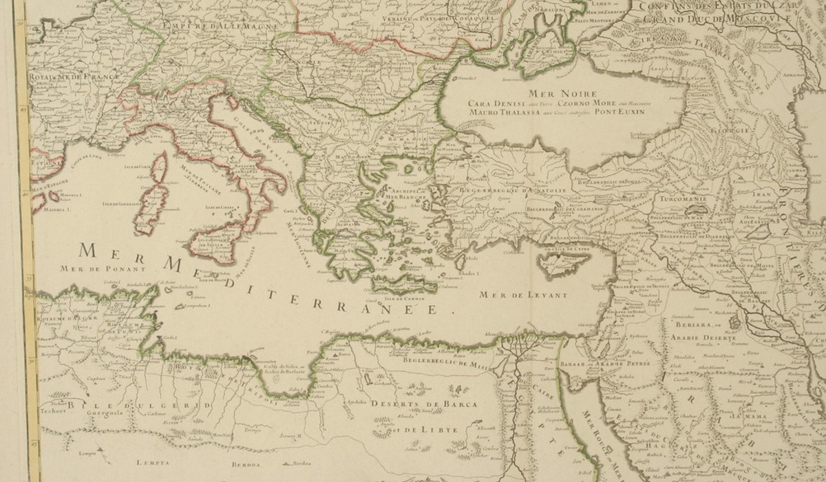
German engineers pushing a railway across central Anatolia in 1893 ran their line past a large flat mound beside the Sakarya River, at a village called Yassihoyuk. The classicist Alfred Korte, who visited the works, is generally credited with identifying it as Gordion, capital of the Phrygians and home of the legendary knot.
He returned with his brother Gustav to dig for a single season in 1900. Sustained work began in 1950 under Rodney Young of the University of Pennsylvania.
In 1957 his team tunneled into the largest burial mound and found an intact wooden tomb chamber from around 740 BC.
Seuthopolis Under the Reservoir
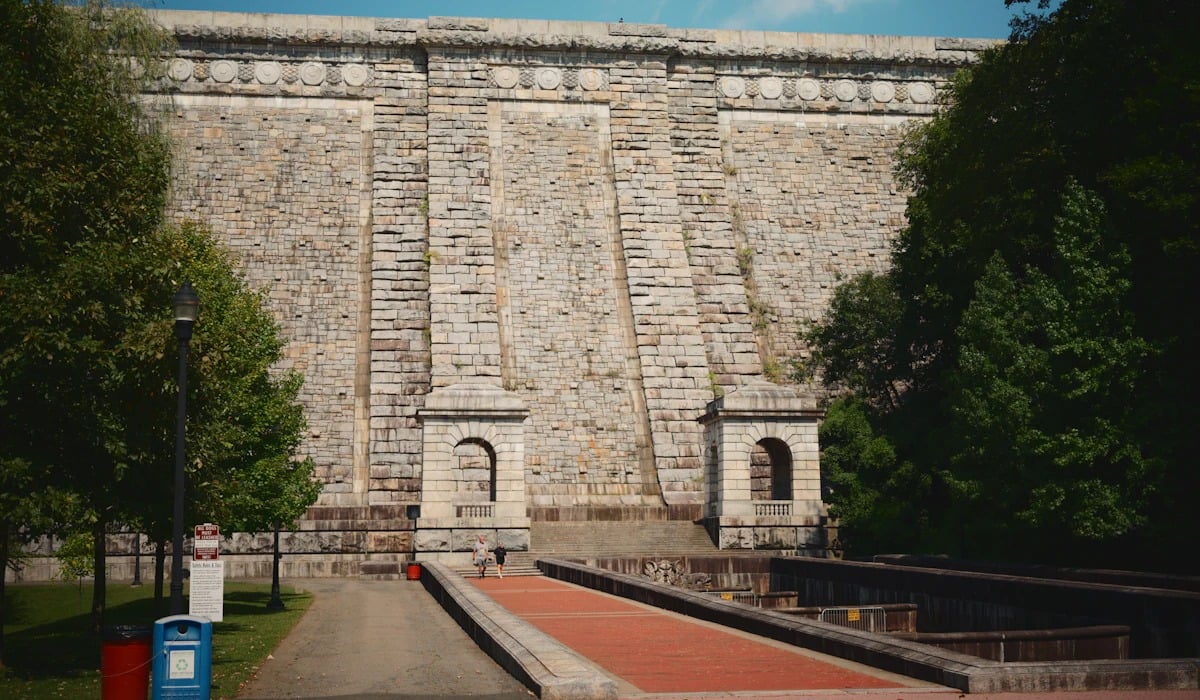
Construction crews building a dam near Kazanlak, in central Bulgaria, uncovered the walls of a Thracian city in 1948. An inscription found in 1953 gave its name as Seuthopolis, founded by King Seuthes III in the late fourth century BC.
Archaeologists were granted about six years to record the fortified town, which covered roughly 12 acres inside a five-sided wall. Then the valley was flooded as planned, and the city has sat on the bottom of the Koprinka Reservoir ever since.
A Bulgarian architect proposed in 2005 to ring the ruins with a circular wall and pump them dry, a project that remains unbuilt.
Ai-Khanoum on a Royal Hunting Trip
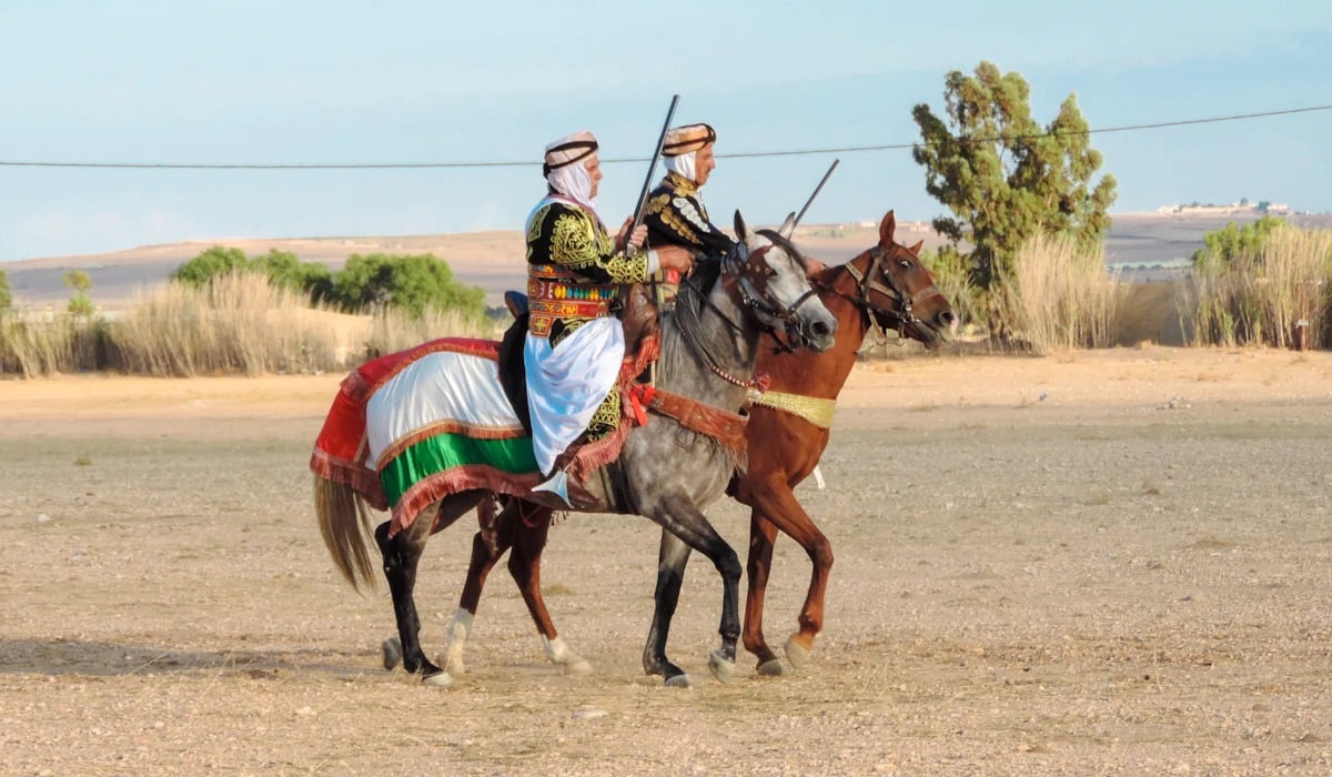
King Mohammed Zahir Shah of Afghanistan was hunting near the Soviet border in 1961 when he was shown a carved stone found by locals. It was a Corinthian column capital, about 2,500 miles from Corinth.
He alerted the French archaeological delegation in Kabul, and excavations led by Daniel Schlumberger and then Paul Bernard ran from 1964 to 1978. They revealed a Greek city on the Oxus with a gymnasium, a theater seating up to about 6,000 and an inscription of maxims copied from Delphi.
War ended the dig. The site was later stripped by looters so thoroughly that satellite images show it pocked with pits.
Loulan and the Forgotten Shovel
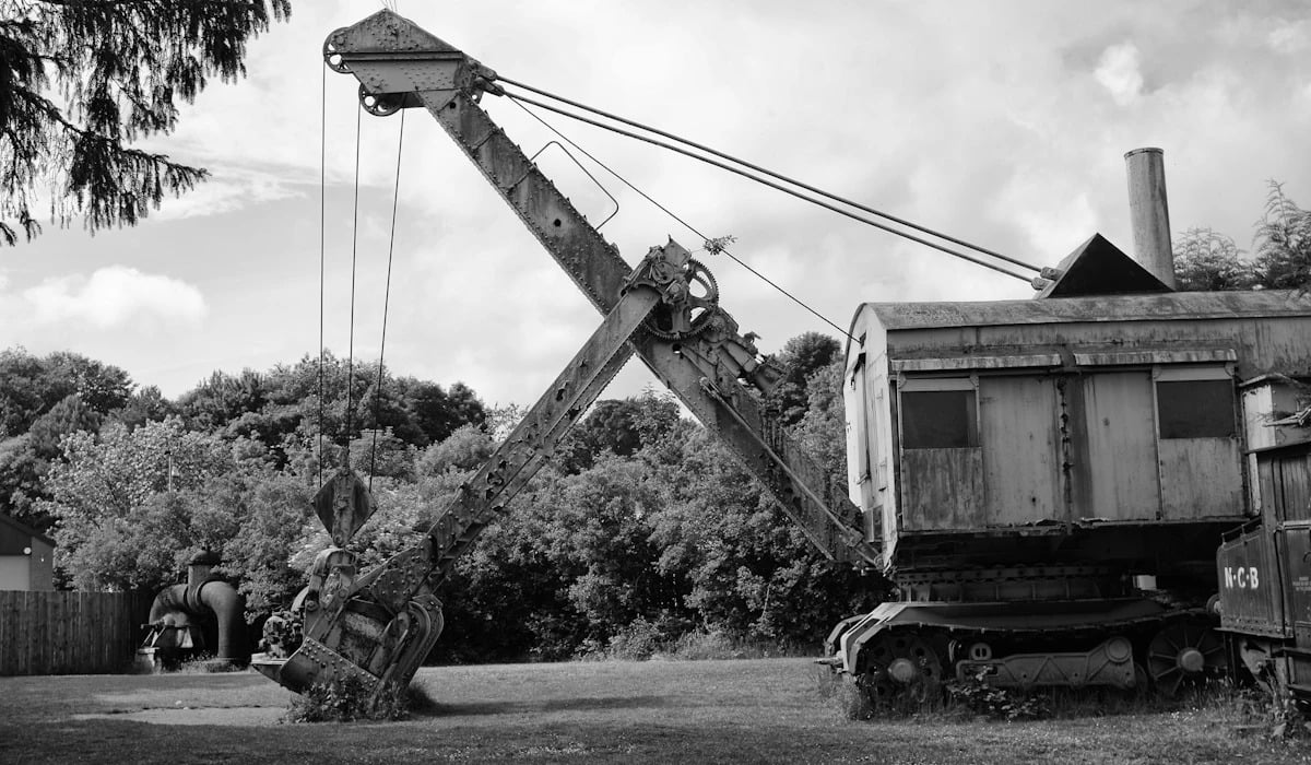
Sven Hedin’s caravan was crossing the Lop Desert in March 1900 when the party realized its shovel had been left beside a few ruined huts passed earlier. A Uyghur guide named Ordek rode back for it, lost the trail during a stormy night, and at daybreak came upon a second group of houses full of richly carved timber.
He returned with two planks as proof. Hedin lacked the water to linger.
He came back in 1901, excavated, and recovered documents on wood and paper that identified the garrison town of Loulan, an oasis kingdom on the Silk Road recorded in Chinese histories. It was probably abandoned after its river shifted course.
Ciudad Perdida and the Looters’ Staircase
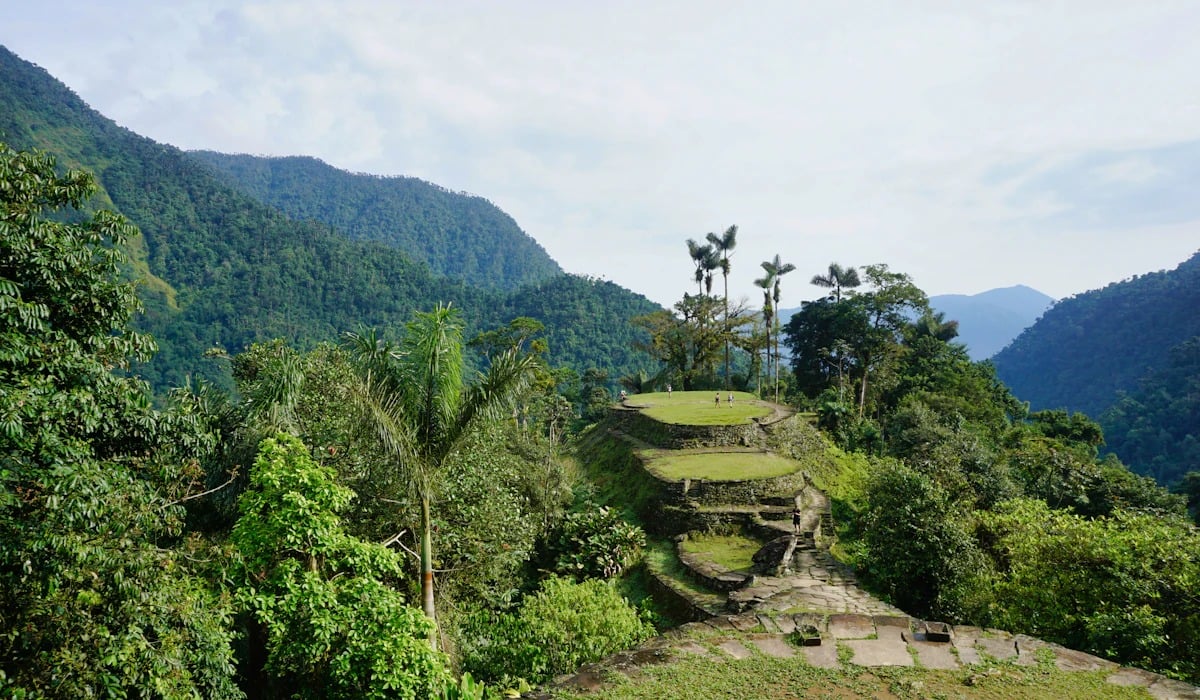
A family of treasure hunters working the Sierra Nevada de Santa Marta in Colombia climbed a mossy stone staircase above the Buritaca River in 1972 and found terraces spreading across a ridge. Gold and ceramics from the site began appearing on the black market, and rival looters fought over it.
Colombian archaeologists reached the ruins in 1976. Built by the Tairona around AD 800, roughly six centuries before Machu Picchu, the settlement is reached by about 1,200 stone steps.
Indigenous communities of the Sierra say they always knew where it was and call it Teyuna. The lost part applied mostly to everyone else.
Cliff Palace and the Stray Cattle
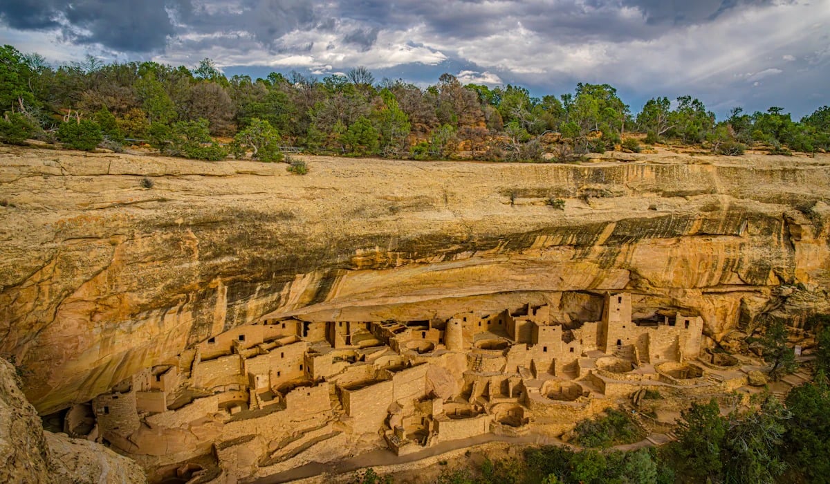
Richard Wetherill and his brother-in-law Charlie Mason were riding the top of Mesa Verde in a snowstorm on December 18, 1888, searching for strays. From the canyon rim they saw a stone settlement tucked under a sandstone overhang across the gorge.
It held about 150 rooms and 23 kivas, built by Ancestral Pueblo people and empty since roughly 1300. The two ranchers improvised a ladder and climbed down that afternoon.
A Ute acquaintance had already told the Wetherills that large ruins existed in the canyons, so the surprise was less complete than the legend suggests. Mesa Verde became a national park in 1906.
Templo Mayor Beneath a Utility Trench
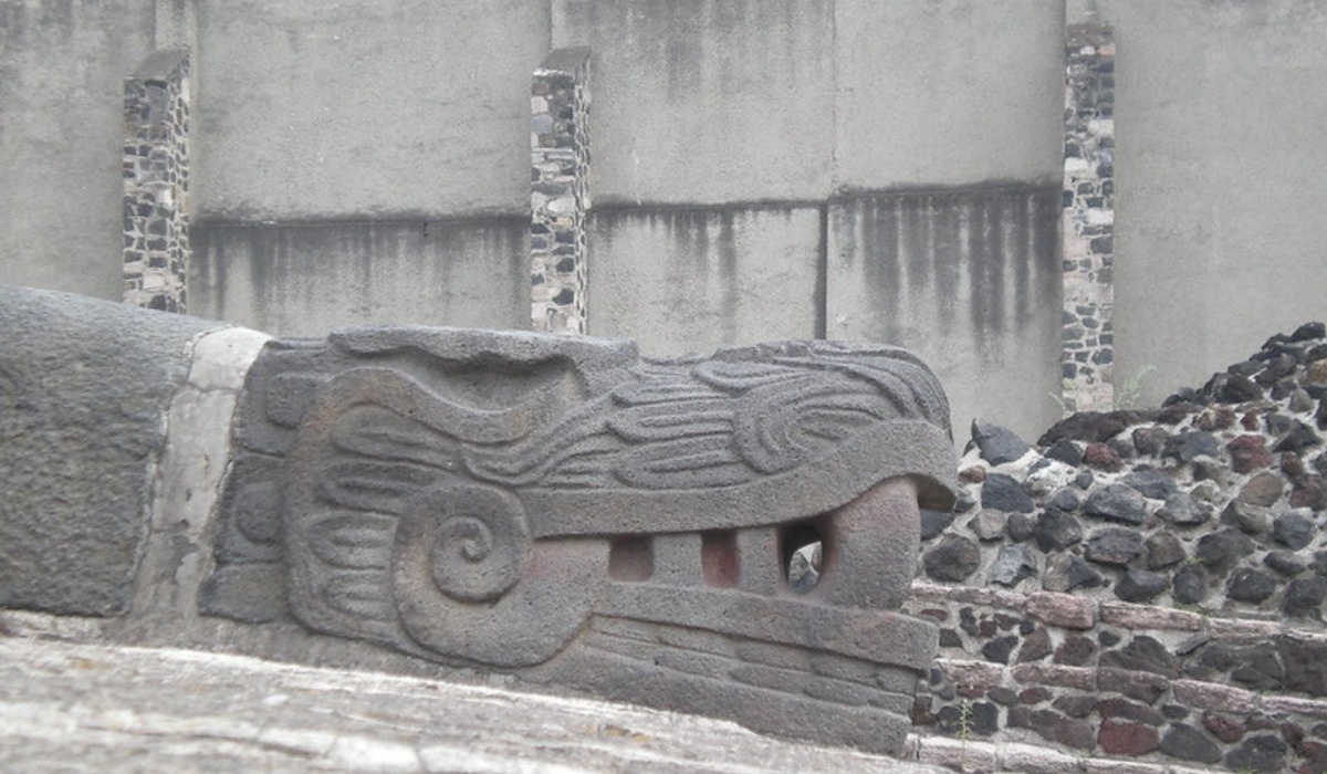
Electric utility workers were digging in Mexico City near the cathedral before dawn on February 21, 1978, when they struck carved stone a little over six feet down. Archaeologists uncovered a disk nearly 11 feet across showing the dismembered Aztec moon goddess Coyolxauhqui.
Scholars had long known the main temple of Tenochtitlan lay somewhere under those blocks, and digs early in the twentieth century had touched one corner. The disk pinned down the exact spot.
A project led by Eduardo Matos Moctezuma demolished 13 buildings and exposed seven construction phases stacked like nested boxes, along with thousands of offerings.
Calakmul From a Passing Airplane
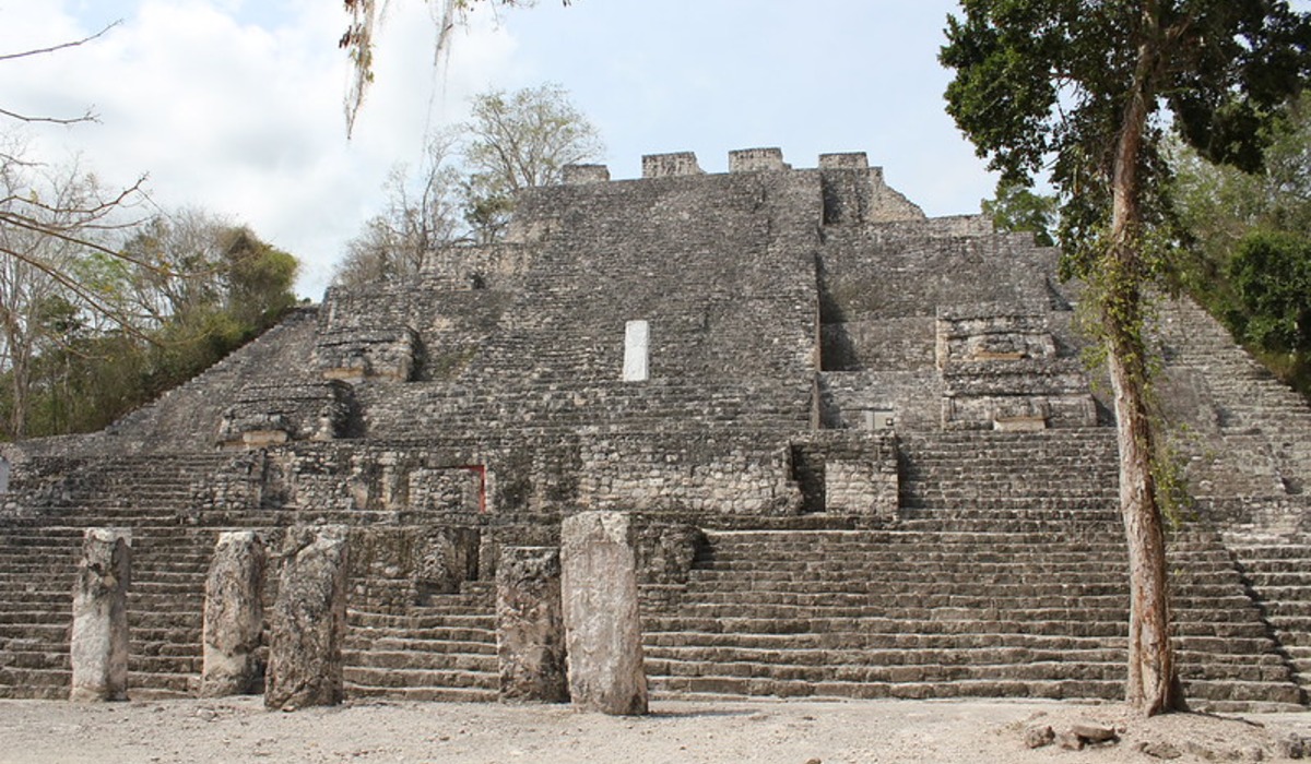
Flying over the forests of southern Campeche for a chewing gum company in late 1931, a botanist noticed mounds rising above the canopy. His employer wanted chicle trees, and he found one of the largest Maya cities ever recorded.
He gave it a name meaning roughly city of two adjacent pyramids and passed word to Sylvanus Morley of the Carnegie Institution, who visited in 1932. Later mapping counted more than 6,000 structures, and inscriptions revealed the seat of the Snake dynasty, chief rival of Tikal during the Classic period.
Chicle tappers working the area had certainly walked past the ruins first.
Valeriana on Page 16 of a Search

Luke Auld-Thomas, a doctoral student at Tulane University, was browsing online when he came across a laser survey that a Mexican organization had flown in 2013 to monitor forests. Deep in the search results, by his own account around page 16, sat data nobody had examined for archaeology.
Processing it revealed pyramids, plazas, a reservoir and causeways in Campeche, part of a survey area holding more than 6,700 structures. The team named the city Valeriana after a nearby lagoon and published the findings in the journal Antiquity in October 2024.
The ruins lie about a 15-minute hike from a busy road near the town of Xpujil, hardly the remote jungle of legend.
Aten and the Missing Mortuary Temple
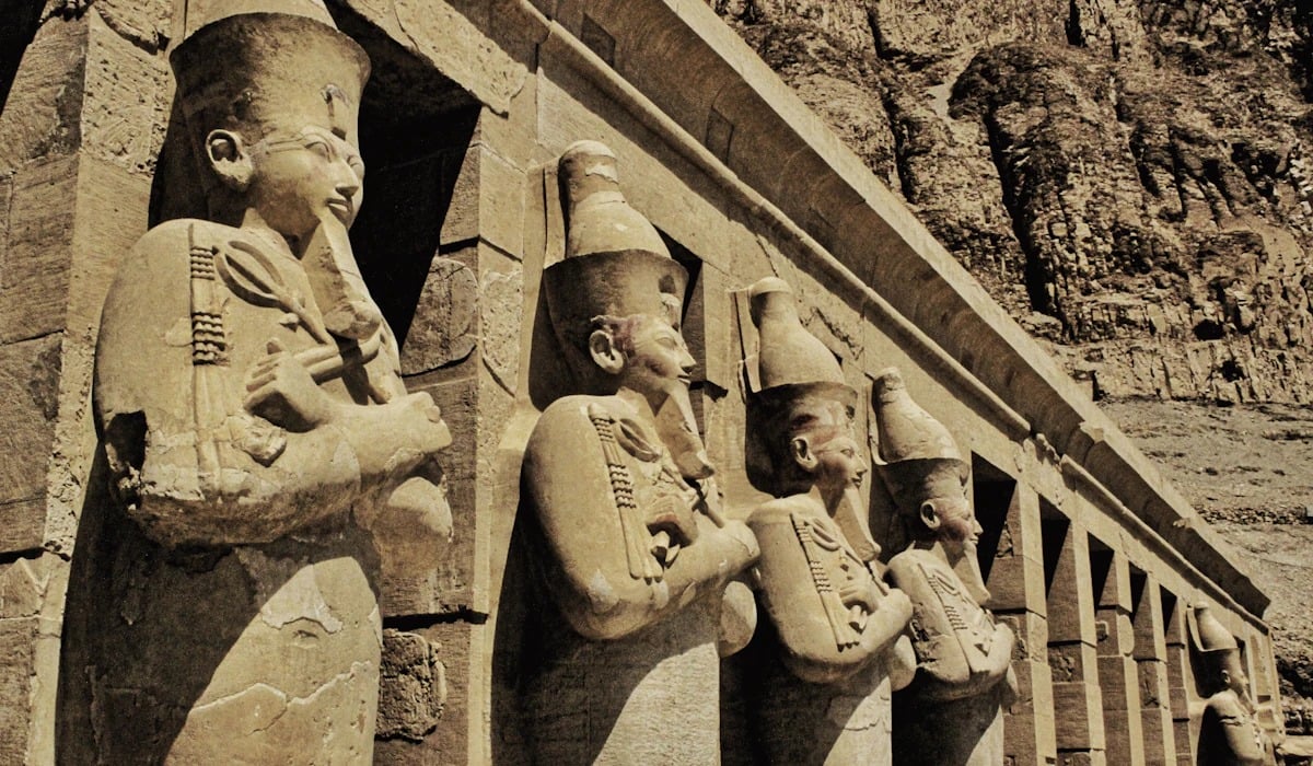
An Egyptian team led by Zahi Hawass began digging on the west bank at Luxor in September 2020, hoping to locate the mortuary temple of Tutankhamun. Within weeks they were following zigzag mud-brick walls in every direction.
The bricks carried the seal of Amenhotep III, and the rooms still held ovens, storage jars, tools and unfinished jewelry. Announced in April 2021, the settlement was presented as a royal industrial town of the fourteenth century BC, sometimes called the Dazzling Aten.
Some Egyptologists have pointed out that French excavators touched nearby remains in the 1930s, so the degree of surprise is debated. The temple never turned up.
Sanxingdui in an Irrigation Ditch

Yan Daocheng, a farmer, was clearing an irrigation ditch near Guanghan, in Sichuan Province, in 1929 by most accounts, when he uncovered a pit packed with jade objects. The family quietly sold pieces for years, and a small excavation followed in 1934.
The real shock came in the summer of 1986, when workers digging clay for a brick factory hit two sacrificial pits. Inside were bronze masks with protruding eyes, a bronze tree about 13 feet tall and a standing figure taller than a man, all roughly 3,000 years old.
Nothing in the written record of early China had hinted that such a kingdom existed.
Skara Brae After the Storm
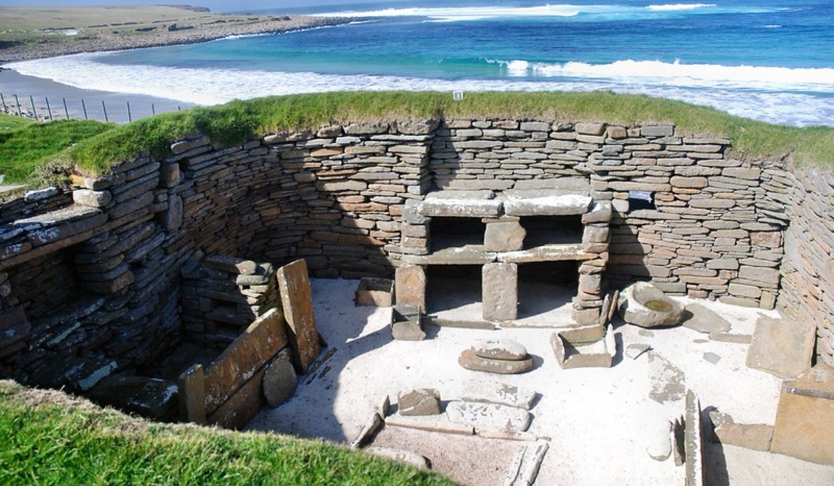
A severe winter storm in 1850 tore the turf off a large dune on the Bay of Skaill, in Orkney, and exposed stone walls. William Watt of nearby Skaill House cleared four houses over the following years and then stopped.
Another storm in the 1920s damaged the site and prompted proper excavation by Gordon Childe between 1928 and 1930. Radiocarbon dating later placed the village between about 3180 and 2500 BC, older than the pyramids of Giza.
Its linked houses still contain stone beds, hearths and shelved dressers. Some researchers suspect parts of the site were visible before 1850, though the storm makes the better story.
Hattusa and the Wrong City
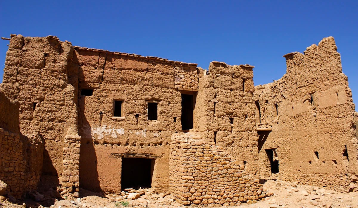
Charles Texier, a French architect and traveler, rode into the central Anatolian village of Bogazkoy in 1834 looking for Tavium, a town from Roman geography. He found miles of massive fortification walls, monumental gates carved with lions and a rock sanctuary lined with processions of gods.
Texier concluded it must be Pteria, a place mentioned by Herodotus. He was wrong on both counts.
The answer came in 1906, when Hugo Winckler and Theodor Makridi unearthed thousands of clay tablets identifying the ruins as Hattusa, capital of the Hittite empire, a power whose existence had barely been suspected when Texier drew his plans.
Ucetia Under a School Building Site
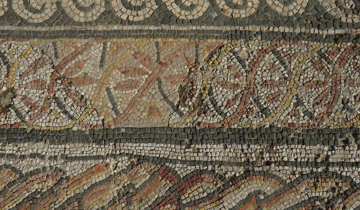
French law requires an archaeological check before major construction, so a team from the national institute Inrap moved onto a plot in Uzes, near Nimes, ahead of new boarding facilities for two high schools. Beginning in late 2016 they exposed about an acre of a Roman town.
Until then Ucetia had been little more than a name carved on an inscription in Nimes. The dig revealed streets, a large house that produced wine and a public building with a mosaic room of roughly 650 square feet.
Its geometric panels frame an owl, a duck, an eagle and a fawn, colors intact after about 2,000 years.
Qalatga Darband in the Spy Photos
American reconnaissance satellites photographed northern Iraq in the 1960s for reasons unrelated to antiquity. After the Corona images were declassified in the 1990s, archaeologists studying them noticed the outline of a large settlement beside a mountain pass in Iraqi Kurdistan.
A ground inspection turned up carved limestone blocks, and the British Museum began fieldwork in 2016 as part of a training program for Iraqi archaeologists. Drone photographs showed buried walls as differences in crop growth.
Excavators led by John MacGinnis found a fortified town with Greek-style statues and tiles, dated to the second and first centuries BC. MacGinnis has suggested it sat on a route Alexander used in 331 BC, which remains unproven.
Luck Favors Whoever Is Holding the Shovel
Accident deserves less credit than these stories give it. A plow strikes a stone every season somewhere, and nearly always the farmer drags it to the field edge and keeps working.
Each find above mattered because someone thought the stone was odd, told another person, and that person could read what it meant.
Chance is also changing its tools. The well digger and the railway contractor have given way to the utility crew, the rescue excavation and the student scrolling through data collected for another purpose.
Most of the ancient world remains unmapped beneath fields, reservoirs and forests. The next lost city is probably already sitting in a file, waiting for somebody bored enough to open it.
MORE FROM GO2TUTORS!

- The Romanov Crown Jewels and Their Tragic Fate
- 13 Historical Mysteries That Science Still Can’t Solve
- Famous Hoaxes That Fooled the World for Years
- 15 Child Stars with Tragic Adult Lives
- 16 Famous Jewelry Pieces in History
Like Go2Tutors’s content? Follow us on MSN.