Photos of Los Angeles Before the Freeways
Before the Hollywood Freeway cut through Cahuenga Pass, a person could ride an electric streetcar from the San Fernando Valley to the Hollywood Bowl. Los Angeles once ran on rails, and the photographs from those years show a city that looks stranger than any modern traffic map suggests.
The images below come from library archives, newspaper collections and private collectors. They cover downtown towers, hilltop mansions and a ravine neighborhood that no longer exists. Each one was taken before concrete began rewriting the map.
Harvey Girls Ready the Restaurant at Union Station, 1939
Photographs from 1939 show the staff of Harvey Girls preparing the Fred Harvey restaurant for the opening of Los Angeles Union Station. The dining room was designed by architect Mary Colter, who shaped Fred Harvey properties across the Southwest.
The waitresses wear the company’s black-and-white uniform, which makes the room look as formal as a ship’s dining saloon. The picture belongs to the final great moment of the railroad age in Los Angeles, just as the city was about to bet on pavement.
Streetcar 710 Stops at the Hollywood Bowl, Circa 1930
In this circa 1930 photograph, Pacific Electric streetcar 710 travels from the San Fernando Valley through Cahuenga Pass and stops at the Hollywood Bowl on Highland Avenue. The Red Cars delivered audiences to the gate of the amphitheater, and nobody needed to hunt for a parking space.
The same pass is now filled by the Hollywood Freeway, which carries thousands of drivers past the spot where the car once paused.
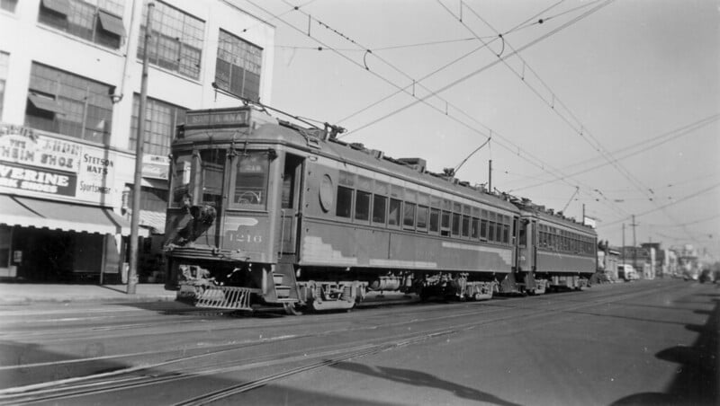
Car 5152 Heads West on Hollywood Boulevard
A photograph from the mid-to-late 1950s catches Pacific Electric car 5152 westbound on Hollywood Boulevard as it approaches Highland. Just beyond the intersection stood Grauman’s Chinese Theatre, the forecourt of which was already famous for its celebrity footprints.
By this point the Red Car system was shrinking, and the boulevard was filling with automobiles. The scene feels ordinary, which is exactly why it hurts to look at.
A Red Car Rolls Through Beverly Hills in Color, 1954
A color photograph dated April 13, 1954, shows a Pacific Electric Red Car trundling through Beverly Hills. Color images of the cars are far rarer than black-and-white ones, and this one finally explains the nickname.
The bright body stands out against the street in a way that monochrome prints never captured. The streetcar looks perfectly at home in a suburb that now belongs to cars.
Inside a Pacific Electric Streetcar, 1920
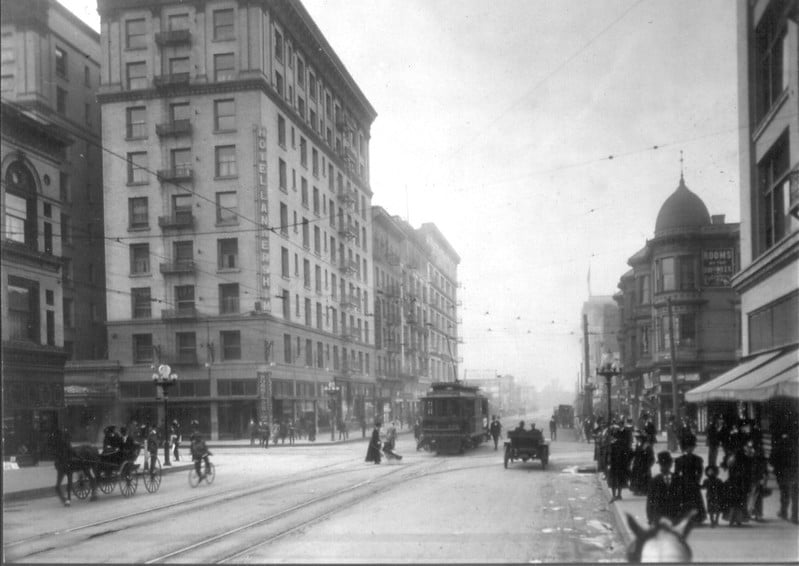
A 1920 photograph looks from inside a Pacific Electric streetcar rather than at the outside of one. Most images of the Red Cars show them as machines, so an interior view is a rare look at how people actually rode.
The seats, windows and aisle suggest a daily routine shared by strangers heading to work and shopping. The picture is a reminder that commuting in Los Angeles was once a shared experience instead of a private one.
The Subway Terminal Building on Hill Street
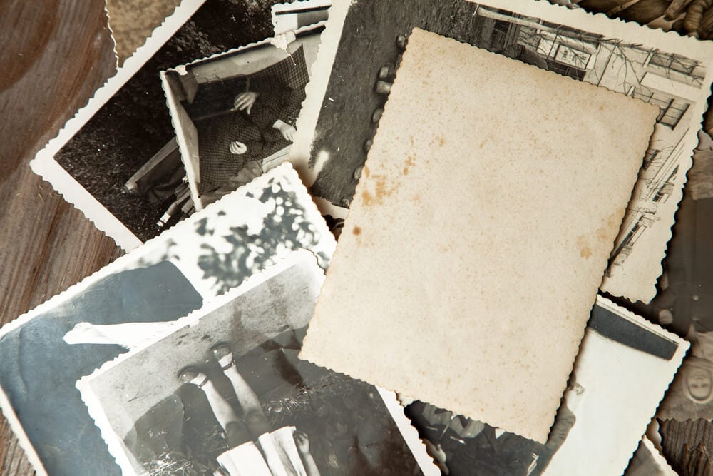
The Pacific Electric Subway Terminal Building on Hill Street was the downtown end of an underground rail line, and the Library of Congress holds a record of it. Trains left the terminal and ran through a tunnel beneath Bunker Hill toward the western districts.
Passenger service on the subway ended in 1955. Few people driving through Los Angeles today realize that a working subway once stood at this address.
Broadway and 7th Street From Loew’s State Theatre, 1943
A 1943 photograph looks down at the intersection of Broadway and 7th Street from the Loew’s State Theatre. The corner was one of the busiest in the city, and the view captures wartime crowds on sidewalks that stayed full long after dark.
Streetcars, pedestrians and storefront signs compete for attention in every direction. Nobody in the frame needed a parking space.
The Steel Skeleton of City Hall, 1927
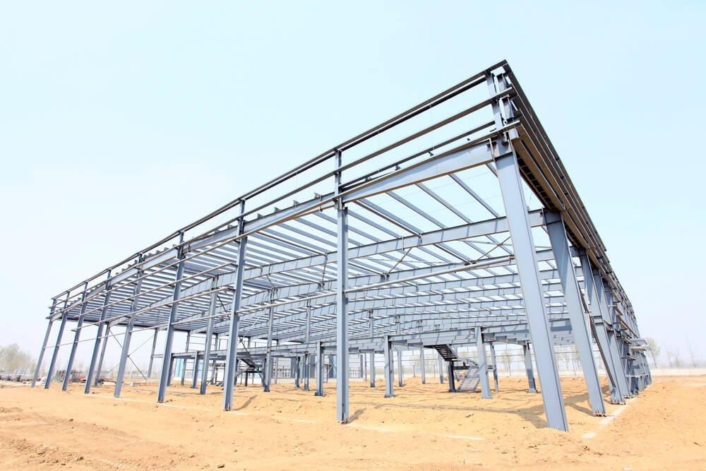
A 1927 photograph shows the steel frame of the new Los Angeles City Hall nearing completion in downtown. The tower rises from a crisscross of girders, and the frame is already tall enough to dwarf the buildings around it.
Archives such as Calisphere hold several views of the construction. The photograph records the moment the skyline was about to change.
Pershing Square Panorama, 1920s
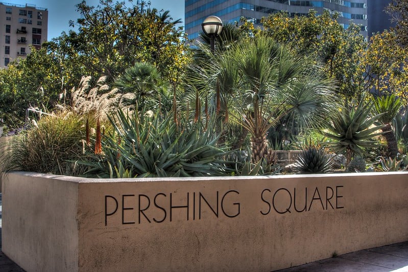
A 1920s panorama of Pershing Square shows the downtown park in the years before it was reshaped. The square is named for General John J. Pershing, the commander of American forces in World War I.
The wide view captures the park as a green block surrounded by hotels, offices and streetcar traffic. It shows a downtown that treated open space as part of the civic center rather than something to pave.
Angels Flight Climbs Bunker Hill
Angels Flight carried riders up and down Bunker Hill on a short inclined track, and it earned a reputation as the world’s shortest railway. Its two counterweighted cars connected the downtown streets below with the hilltop neighborhood above.
Redevelopment cleared the hill, and the railway was removed from its original home. It was later reinstalled nearby, and the little funicular has since appeared on screen in the film La La Land.
The Victorian Mansions of Bunker Hill
Photographs in the Huntington Library’s digital collections show the Victorian houses that once crowded Bunker Hill. Many of the grand homes had been converted into boarding houses by the time the cameras came out.
Redevelopment cleared the hill in the years that followed, and the neighborhood was erased almost entirely. The photographs show that a residential district once sat above the downtown office towers.
Grand Central Market, Where the Flight Came Down
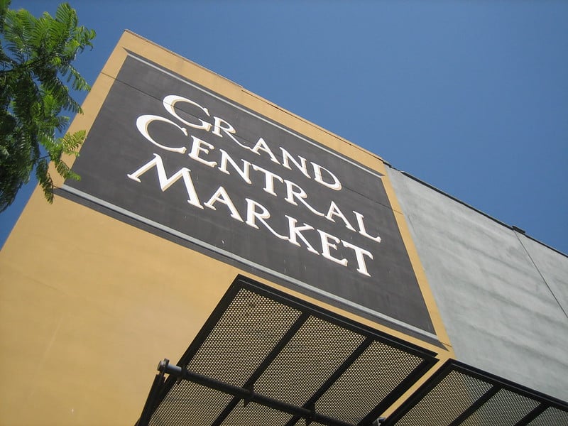
Grand Central Market opened in 1917 on Broadway, and its other entrance faced Hill Street. The lower station of Angels Flight stood across Hill Street from the market, so shoppers could ride up the hill with their groceries.
Photographs from the period show crowds and produce stalls under a roof that still shelters vendors today. The market is one of the few places where the old downtown survived the changes around it.
Central Library Opens, 1926
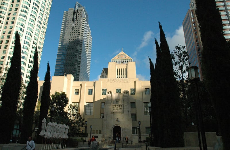
Photographs of the Los Angeles Central Library from the 1920s show a building designed by architect Bertram Goodhue. The library opened in 1926, and Calisphere holds many images of its early years.
A devastating fire in 1986 destroyed a large part of the collection and forced a long restoration. The pictures show the building in its first decade, when it stood in a downtown full of streetcars and not much else.
Chavez Ravine, 1949
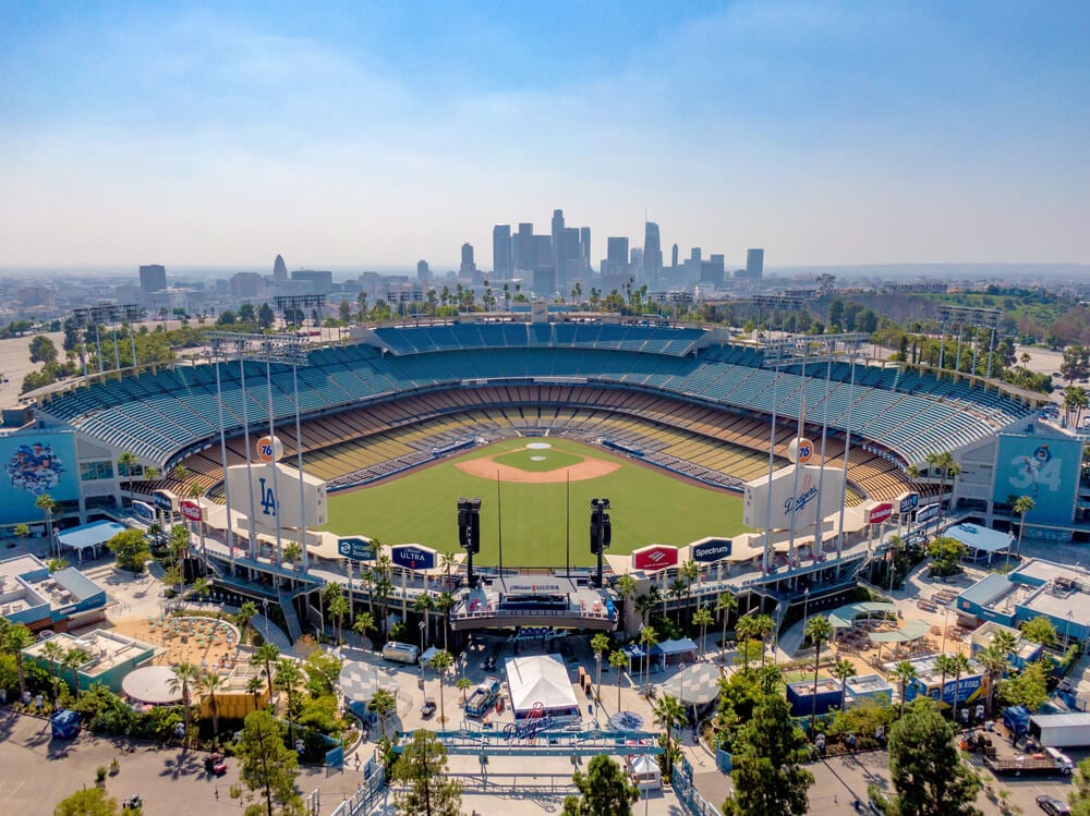
In 1949, photographer Don Normark documented the neighborhoods of Chavez Ravine, including Palo Verde, La Loma and Bishop. His images were later collected in a book titled Chavez Ravine, 1949: A Los Angeles Story, published in 1999.
The land was cleared, and Dodger Stadium was built on the site. The photographs show hillside homes, clotheslines and children, all of them now only memory.
What the Camera Kept
Nearly every photograph on this list shows something that was removed, rebuilt or replaced. Streetcars gave way to buses and cars, Bunker Hill was cleared, and Chavez Ravine became a stadium.
The images are valuable because they were taken casually, by people who assumed the scenes would still be there tomorrow.
The freeways did not erase Los Angeles, but they changed what the city chose to remember. A photograph can hold a corner, a car or a crowd long after the pavement has moved on.
In a place built around speed, those still frames are the closest thing the city has to a slow look back.
More from Go2Tutors!

- The Romanov Crown Jewels and Their Tragic Fate
- 13 Historical Mysteries That Science Still Can’t Solve
- Famous Hoaxes That Fooled the World for Years
- 15 Child Stars with Tragic Adult Lives
- 16 Famous Jewelry Pieces in History
Like Go2Tutors’s content? Follow us on MSN.