How Early Settlements Shaped Present-Day Borders
The lines on a map seem permanent. But trace them back far enough, and you’ll find they started with something much simpler—people deciding where to build their homes.
Early settlements didn’t just create communities. They established patterns of control, trade, and influence that eventually hardened into the borders we recognize today.
The Trading Post Principle
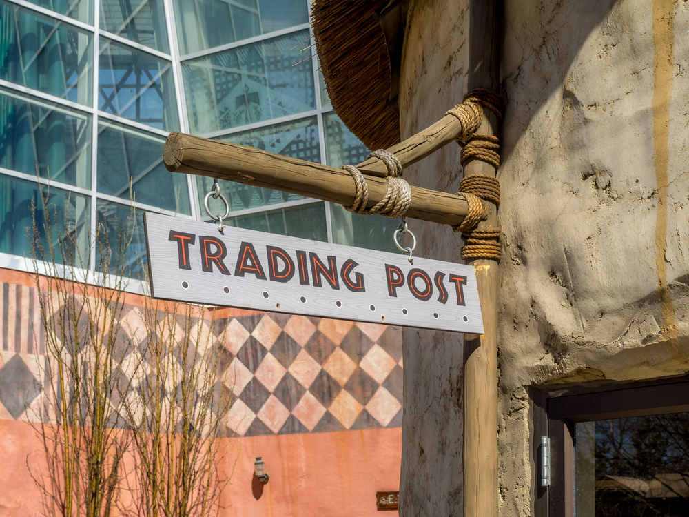
Old trading posts weren’t placed randomly. Merchants set them up where routes naturally crossed—river junctions, valley mouths, safe passages through mountains.
Over time, these waystations attracted permanent homes, storage sites, and markets. As more groups traded there, each post’s surrounding region came to feel like its own sphere.
When colonial governments arrived, they often used these long-standing zones as ready-made borders. Communities had already defined the limits of who traded where, so political boundaries simply followed the invisible lines people had lived with for generations.
River Settlements and Natural Boundaries
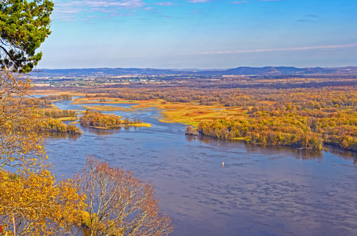
Rivers drew early settlers for obvious reasons: water, transport, fertile ground. Towns grew thick along the banks, while the higher, drier spaces in between remained less populated.
Those clusters of river communities developed distinct customs and identities on each side. Modern borders mirror many of those divisions.
It’s not the river acting as a wall—it’s that people on one bank built lives that gradually diverged from those across the water.
Mission Chains and Territorial Claims

Mission systems in various parts of the world didn’t pop up randomly. Religious groups placed missions at careful intervals so each one could sustain itself and still influence the surrounding territory.
The space between them effectively became the edge of one mission’s reach and the beginning of another’s. Later, when colonial land was broken into provinces, these gaps between missions often became the lines on official maps.
Governments simply formalized what mission planners had already spaced out.
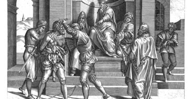
Fortified Outposts as Boundary Markers
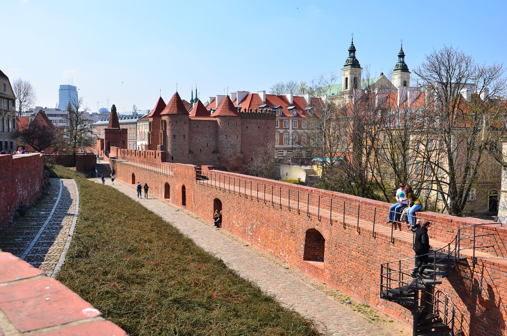
Frontier forts marked how far a group’s power realistically extended. They offered protection to nearby settlers and acted as signals to rivals: “We control up to here.”
Opposing forces built their own lines of forts in response, creating strips of contested land between them. Eventually, once fighting stopped or treaties were signed, those in-between spaces transformed into formal borders.
What had once been a tense buffer zone became a clear line dividing territories.
Agricultural Expansion and Control

Farmers didn’t spread out evenly. They followed soil quality, rainfall patterns, and workable terrain.
Good farmland grew into dense belts of habitation, while difficult ground stayed empty or sparsely used. The outward edge of these farming zones became a practical limit of control—beyond it, maintaining a community wasn’t worth the effort.
Not surprisingly, many later political borders trace those same edges where farms once stopped.
Mining Towns and Resource Territories
A discovery of minerals could flip an empty region into a crowded hub overnight. Wherever valuable ore existed, mining settlements sprang up—sometimes far from established towns.
Whoever reached the site first staked claims not just to the mine but to the surrounding territory. As governments stepped in to manage these boom areas, they drew boundaries around the zones shaped by mining activity.
Some modern borders in resource-rich countries still follow the footprints of those early rushes.
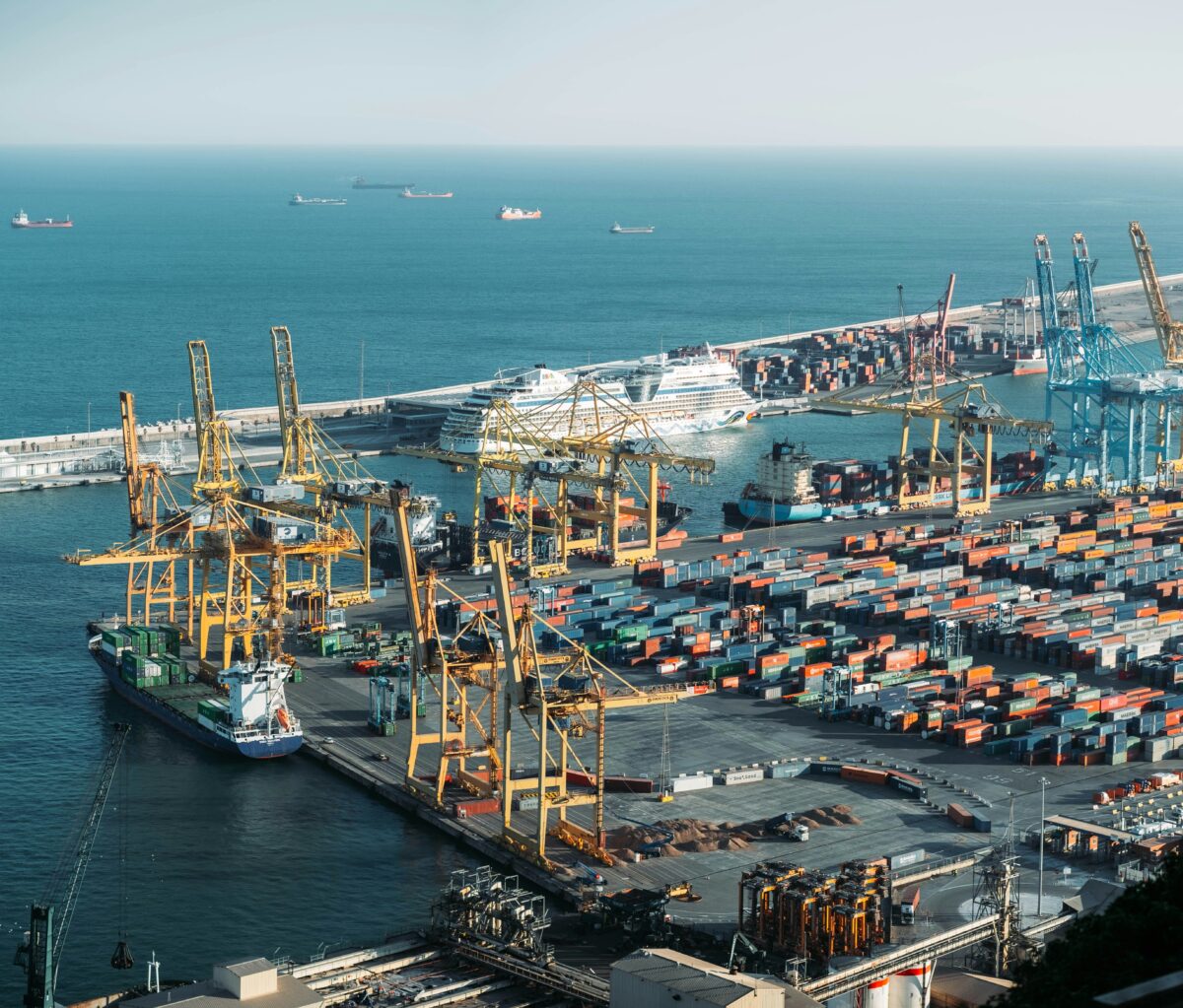
Port Cities and Coastal Control

A good harbor was often enough to anchor an entire region. Settlements around ports rapidly became economic centers, feeding and supplying inland communities.
The areas that relied on a specific port naturally identified with it. When colonial powers or later governments carved up coastlines, they used these port-centered regions as the basis.
Territorial lines tended to run inland from major harbors, dividing coastlines according to which port dominated each stretch.
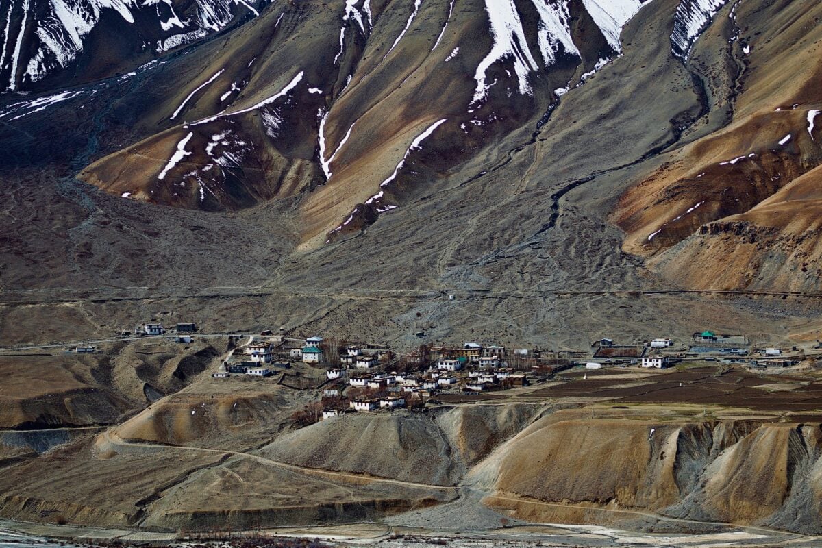
Mountain Settlement Patterns

Mountain communities rarely formed wherever people pleased. Settlers clustered in valleys where water flowed and land could be worked, or near passes that connected them to the outside world.
Each valley evolved with little interference from the next, separated by ridges and steep slopes. These natural separations later made sense as political boundaries.
Maps followed the ridgelines—partly because mountains are difficult to cross, and partly because the people on either side had already lived apart for centuries.
Desert Oasis Communities
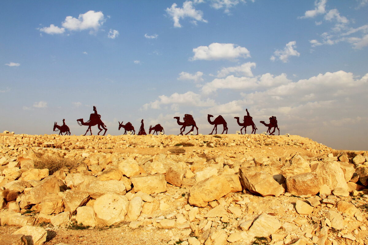
In deserts, water is destiny. Oases became centers of life, trade, and shelter, with huge stretches of barren land between them. Each oasis supported its own community, and the wide gaps acted as natural buffers.
When borders were eventually drawn, they often extended outward from each oasis until meeting halfway with the next. In many cases, modern lines still reflect the old understanding that each water source defined its own territory.
Colonial Administrative Centers
Colonial governments set up administrative towns to manage the territory they claimed. These centers didn’t always sit where the population was densest, but they were chosen for strategic reach.
Each one governed a set radius of land, creating early districts. Once independence movements rewrote political structures, those old administrative districts were kept because they were already familiar—from paperwork to policing.
Modern provinces and nations often echo these early settlement-based divisions.
Railroad Towns and Linear Development
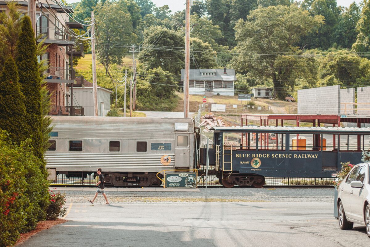
Railroads acted like artificial rivers, pulling settlements along their tracks. Towns sprouted at stops the railway companies needed—places for refueling, switchyards, or maintenance.
Many of these small outposts grew into lasting communities. As regions were organized politically, these strings of settlements became convenient markers for counties and districts.
In some areas, the dividing lines literally follow the track alignment, reflecting how settlement patterns formed along the rail lines.
Religious Community Boundaries
Groups seeking space for their own beliefs often built self-contained settlements away from outsiders. Puritans, Quakers, Mormons, and other communities claimed distinct territories where their rules and customs could thrive without interference.
Later, local governments respected many of these early claims when carving out counties or states. The borders reflected the original desire of each group to keep some distance from its neighbors.
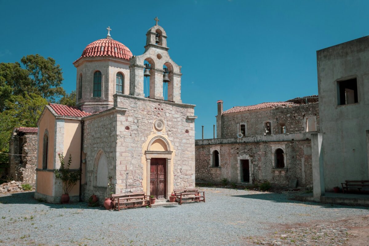
Indigenous Settlement Recognition
In places where colonial rulers paid attention to Indigenous land use, borders sometimes followed traditional patterns. Native groups often moved seasonally, but their territories centered on key hunting areas, trade spots, or sacred locations.
When early officials acknowledged those territories, they drew maps that mirrored Indigenous settlement zones. Even when boundaries later shifted through conflict or negotiation, the underlying logic often stayed tied to pre-colonial patterns of life.
Where History Meets the Map
Stop for a sec at any checkpoint – this land was handpicked by folks deciding to stay. Back then, that first choice – a marketplace, a fort, a farm – set off chains of decisions guiding influence and belonging. Borders didn’t create cities.
Cities built borders, layer by layer, until splits seemed obvious rather than constructed.
More from Go2Tutors!

- The Romanov Crown Jewels and Their Tragic Fate
- 13 Historical Mysteries That Science Still Can’t Solve
- Famous Hoaxes That Fooled the World for Years
- 15 Child Stars with Tragic Adult Lives
- 16 Famous Jewelry Pieces in History
Like Go2Tutors’s content? Follow us on MSN.