The Longest Official Hikes in the World
Some people spend a weekend on a trail. Others spend months or even years.
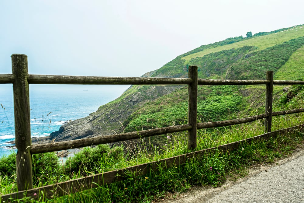
The longest official hiking trails stretch across continents, covering thousands of miles through wilderness that tests endurance in ways most people never experience. These aren’t casual walks.
They’re commitments that reshape how you think about distance, solitude, and what your body can actually do.
The Great Trail: Canada’s 24,000-Kilometer Network

This trail connects three oceans. The Great Trail runs from the Atlantic to the Pacific and up to the Arctic, covering more than 24,000 kilometers across Canada.
That’s roughly 14,900 miles. The route reached 100% connection in 2016, though it took decades to build.
The trail isn’t just footpaths. It combines hiking trails, waterways where you paddle, and some road sections.
Four out of five Canadians live within 30 minutes of some part of it. Dianne Whelan became the first person to complete the entire thing, finishing in August 2021 after six years of walking, biking, and canoeing the distance.
Most of that journey was solo.
American Discovery Trail: Coast to Coast Across the United States
Two routes cross America here, both starting and ending at opposite coasts. The Northern Route covers about 7,780 kilometers while the Southern Route extends to 8,138 kilometers.
The trails split and reconnect at Elizabethtown, Ohio and Denver, Colorado. From Cape Henlopen in Delaware to Point Reyes in California, the trail passes through 15 states.
It crosses the Great Plains, climbs the Rockies, and cuts through desert before reaching the Pacific. The trail was mapped out between 1990 and 1991, though hikers had run sections of it as organized events back in the 1980s.
Sentiero Italia: Walking the Length of Italy

Italy’s backbone trail runs for over 8,000 kilometers from north to south. Starting near Trieste close to the border with Slovenia, it winds all the way down to southern Sardinia.
The route passes through every region of Italy. Riccardo Carovalini first imagined this trail in 1981, but it took until 1995 for official recognition.
The trail showcases Italy’s geographic diversity, from Alpine peaks in the north to Mediterranean coastline in the south. You’re never far from a village, which makes resupply easier than on more remote trails.
E1 European Long Distance Path: Norway to Sicily
This trail crosses an entire continent. The E1 runs roughly 7,114 kilometers from the North Cape of Norway down to Sicily, Italy.
You pass through eight countries following this route. The path connects existing trails rather than creating entirely new ones.
It moves through Scandinavian forests, German highlands, Swiss Alps, and Italian countryside. The trail never achieved the fame of American long-distance routes, but it remains one of Europe’s most ambitious hiking projects.
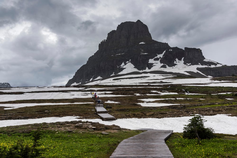
Continental Divide Trail: Following the Rocky Mountains

The CDT traces the Continental Divide through five U.S. states for approximately 5,000 kilometers. It runs from Mexico to Canada along the spine of the Rocky Mountains, passing through New Mexico, Colorado, Wyoming, Idaho, and Montana.
Much of the route sits at high elevation. The trail crosses Gray’s Peak at 14,270 feet, the highest point on any national scenic trail in America.
The CDT remains rough compared to other major trails. Large sections follow informal routes rather than maintained footpaths.
Only around 150 thru-hikers had officially completed it by 2019, though those numbers grow each year.
Bicentennial National Trail: Australia’s Backbone
This 5,330-kilometer trail runs along Australia’s Great Dividing Range from Cooktown in Queensland down to Healesville in Victoria. The trail was designed primarily for horseback riders, though hikers and mountain bikers use sections too.
The route follows old stock routes and brumby tracks that drovers once used when moving livestock. It passes through national parks and across private property, linking wilderness areas along the eastern side of the continent.
The trail opened in 1988 to mark Australia’s bicentennial.
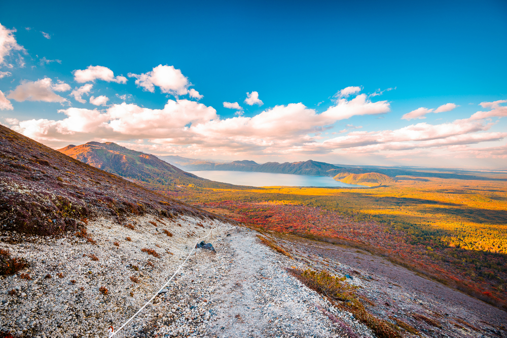
Hokkaido Nature Trail: Circling Japan’s Northern Island
Japan’s second-largest island hosts this 4,600-kilometer loop. The Hokkaido Nature Trail circles through mountains, wetlands, and volcanic landscapes across the least developed of Japan’s main islands.
Planning started in 2003, making this one of the newer major trails. Hokkaido’s summers stay cool while winters turn brutally cold, so most people hike it from north to south between late spring and early fall.
The island supports rare wildlife including red-crowned cranes and brown bears. Hikers typically take around eight months to complete the full circuit.
Pacific Crest Trail: The West Coast Classic
At 2,650 miles, the PCT runs from Mexico to Canada through California, Oregon, and Washington. The trail follows the highest elevations of the Sierra Nevada and Cascade mountain ranges, staying in wilderness for most of its length.
The PCT passes through seven national parks including Yosemite, Sequoia, and Crater Lake. Most thru-hikers cover it in about five months, averaging 20 miles per day.
The trail has easier grades than the Appalachian Trail despite passing through higher mountains. It was designed to accommodate pack animals, which means gentler slopes.
Around 2,000 to 3,000 people attempt the full trail each year.
Trans-European Alpine Route: Crossing Multiple Mountain Ranges
This roughly 4,000-mile route connects the Atlantic coast of Europe to the Black Sea by following mountain ranges. The trail passes through France, Monaco, Italy, Slovenia, Austria, Germany, Liechtenstein, and Switzerland.
The route climbs constantly. Total elevation gain exceeds 1.5 million feet over its length, which equals climbing Mount Everest from sea level 27 times.
Most hikers take about seven months to complete it. The trail uses a combination of existing long-distance paths stitched together into one continuous route.
Great Himalaya Trail: The World’s Highest Trek
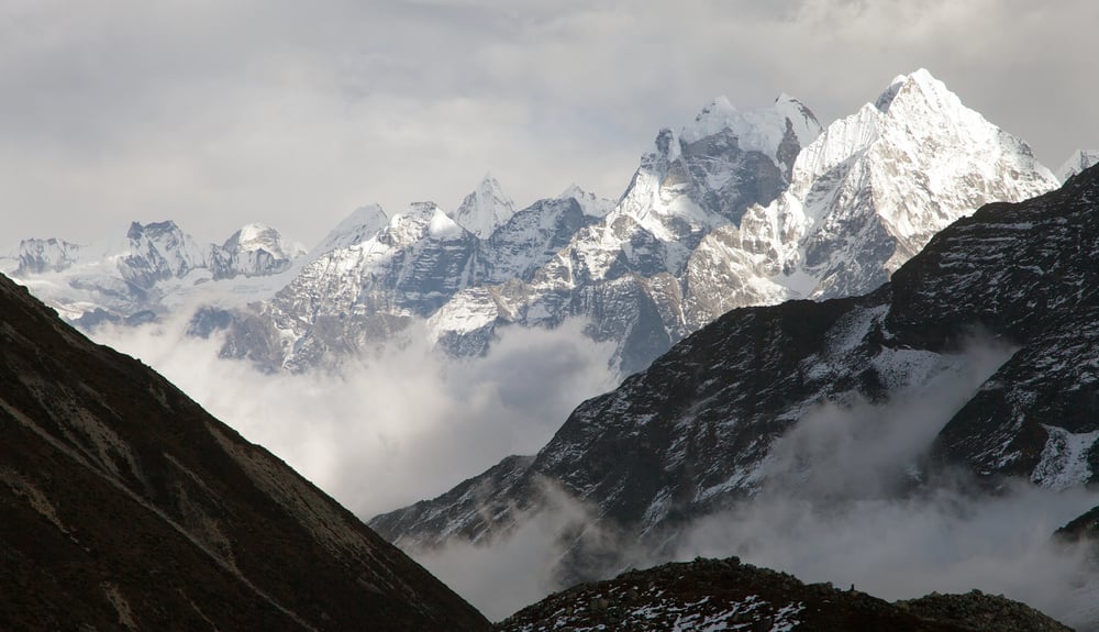
Plans call for this trail to follow the Greater Himalaya Range from Tibet to Pakistan, creating the highest mountain trail on Earth. The full route would cover approximately 4,500 kilometers at extreme altitude.
The trail remains more concept than reality. Sections exist and people have hiked variants of the route, but no single official trail connects the entire Himalayan chain.
Political borders, restricted areas, and sheer remoteness make full completion nearly impossible. Still, segments of the trail attract experienced mountaineers willing to deal with altitude, weather, and logistical challenges.
Appalachian Trail: America’s Most Famous Footpath
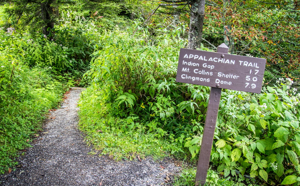
The AT runs 2,194 miles from Springer Mountain in Georgia to Mount Katahdin in Maine. It crosses 14 states and claims the title of longest hiking-only footpath in the world, since longer trails allow bikes or boats on sections.
More than 3 million people visit some part of the trail each year. Around 3,000 attempt to thru-hike it annually, though completion rates hover around 25%.
The trail was completed in 1937 and remains one of the most social long-distance hikes. Shelters every 8 to 10 miles mean hikers tend to bunch together, and towns near the trail provide frequent resupply points.
The AT gains and loses more elevation per mile than the PCT despite being shorter. The terrain stays rough with constant rocks and roots.
Most thru-hikers finish in five to seven months. The trail passes through two national parks and eight national forests.
Te Araroa: New Zealand’s End-to-End Journey
This 3,000-kilometer trail runs from Cape Reinga at New Zealand’s northern tip to Bluff in the south. The name means “The Long Path” in Maori. The route officially opened in 2011.
Te Araroa cuts through volcanic landscapes, native forests, farmland, and a dramatic coastline. The trail requires river crossings, beach walking, and alpine traverses.
It’s less developed than trails like the AT or PCT. Hikers need good navigation skills and self-sufficiency.
The trail passes through small towns that become natural stopping points for rest and resupply. Most thru-hikers take four to six months to complete it.
Trans-Panama Trail: Connecting Two Oceans
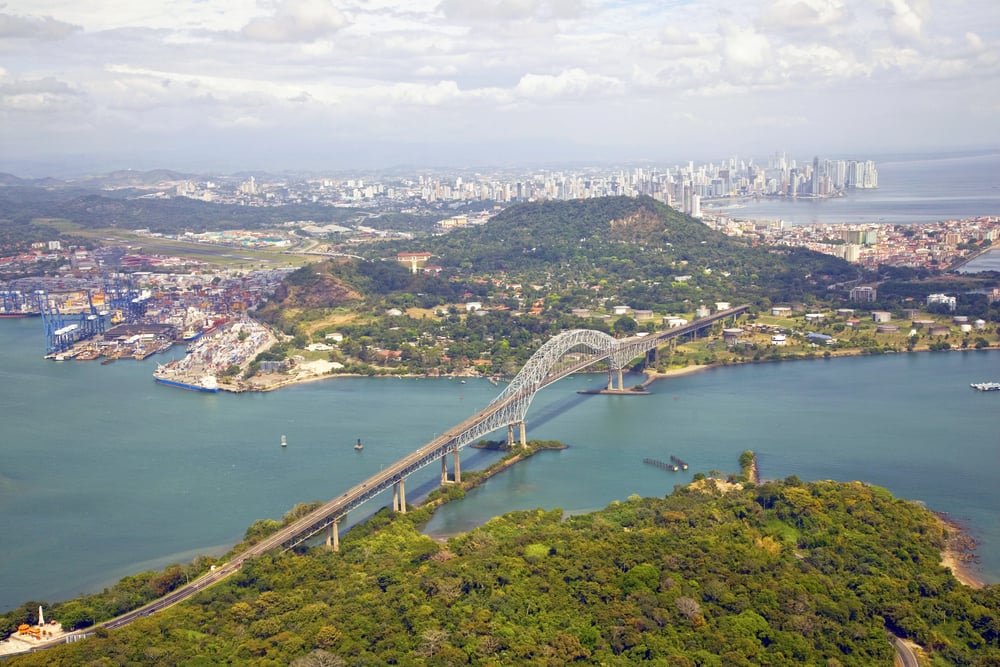
This 1,100-kilometer trail runs across Panama from the Caribbean to the Pacific. The route crosses tropical rainforest, mountains, and rural farmland.
The trail links indigenous communities and protected areas. Parts follow established paths while other sections require new trail construction.
The Darien Gap, that roadless stretch between Panama and Colombia, is not part of the official trail due to safety concerns. The trail stays entirely within Panama’s borders and typically takes experienced hikers about two months to complete.
Where Footsteps Become Journeys

These trails share something beyond length. They demand time measured in months, not days.
They cross landscapes so varied that finishing requires adapting to everything from desert heat to mountain snow. And they transform the people who walk them.
Distance becomes relative. What seemed impossible at the start becomes ordinary after weeks on trail.
Twenty-mile days feel routine. The solitude and repetition reshape how you think.
Most people who finish these trails talk less about reaching the end and more about who they became along the way. The trail doesn’t just cover ground.
It uncovers something in the people willing to walk it.
More from Go2Tutors!

- The Romanov Crown Jewels and Their Tragic Fate
- 13 Historical Mysteries That Science Still Can’t Solve
- Famous Hoaxes That Fooled the World for Years
- 15 Child Stars with Tragic Adult Lives
- 16 Famous Jewelry Pieces in History
Like Go2Tutors’s content? Follow us on MSN.