Ancient Trade Routes Still Visible on Satellite Images Today
There’s something quietly unsettling about pulling up a satellite image and realizing that the faint line cutting across a desert or steppe wasn’t made by modern machinery — it was worn into the earth by generations of feet and hooves moving goods across continents. These routes didn’t just connect markets.
They shaped languages, religions, diseases, and borders. And somehow, despite everything that’s happened since, the land still remembers them. From above, you can see exactly where they went.
The Silk Road Through Central Asia
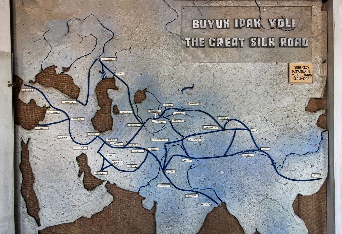
You can still trace long, pale corridors across the Karakum and Kyzylkum deserts from space. The Silk Road wasn’t a single path — it was a braided system of shifting routes — but certain corridors, worn down by centuries of caravans carrying silk, spices, and glass, left marks deep enough that no amount of wind erosion has fully erased them.
Satellite imagery over Uzbekistan and Turkmenistan shows these faint linear scars threading between the ruins of caravanserais that once offered rest every 20 to 25 miles.
The Incense Route in the Arabian Peninsula

This one is stubborn. The Incense Route, which carried frankincense and myrrh north from Dhofar in present-day Oman through the Arabian Peninsula toward the Mediterranean, left a trail across terrain so arid that almost nothing has grown there in two thousand years.
NASA imagery and ESA datasets have both captured the route’s ghostly imprint across Saudi Arabia and the Negev desert, where the path is visible not as a road but as a long, darkened compression of soil where the ground was simply walked harder than anywhere around it.
The Royal Road of the Persian Empire
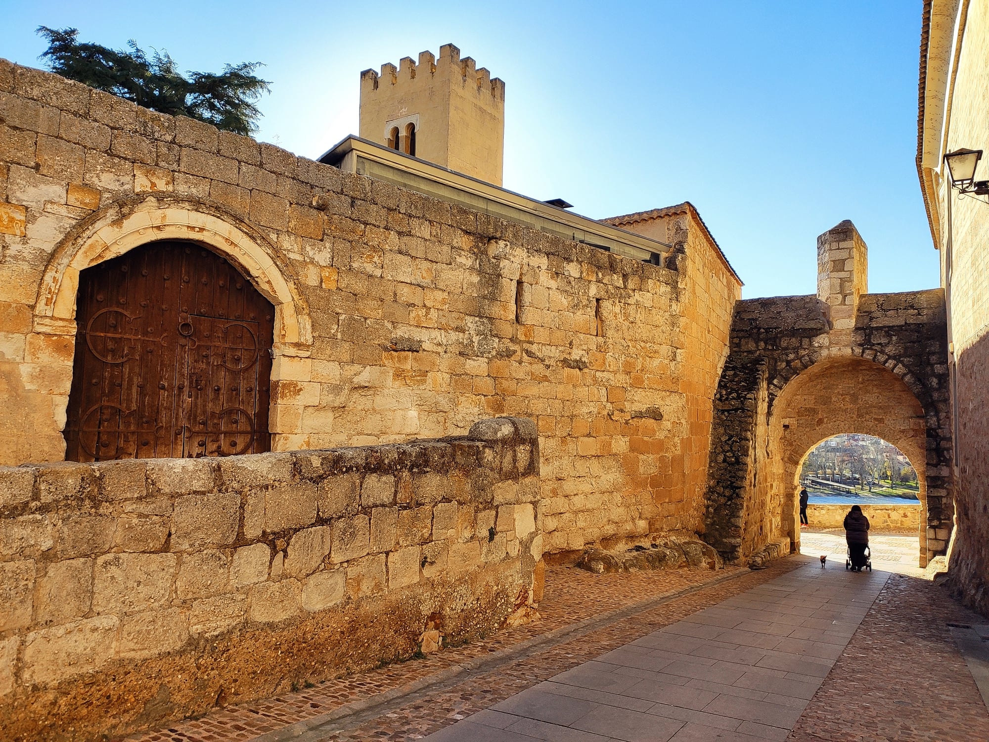
The Persians built a road that stretched roughly 1,700 miles from Susa to Sardis — a distance that royal couriers, according to Herodotus, could cover in seven days flat. That infrastructure left its mark, and portions of it are visible in satellite imagery across modern Iran and Turkey: shallow linear depressions cutting through agricultural land, sometimes interrupted by modern development, sometimes not interrupted at all.
There’s something genuinely strange about seeing a road that Cyrus’s messengers used still sitting there, patient, in the landscape.
The Via De La Plata in Spain
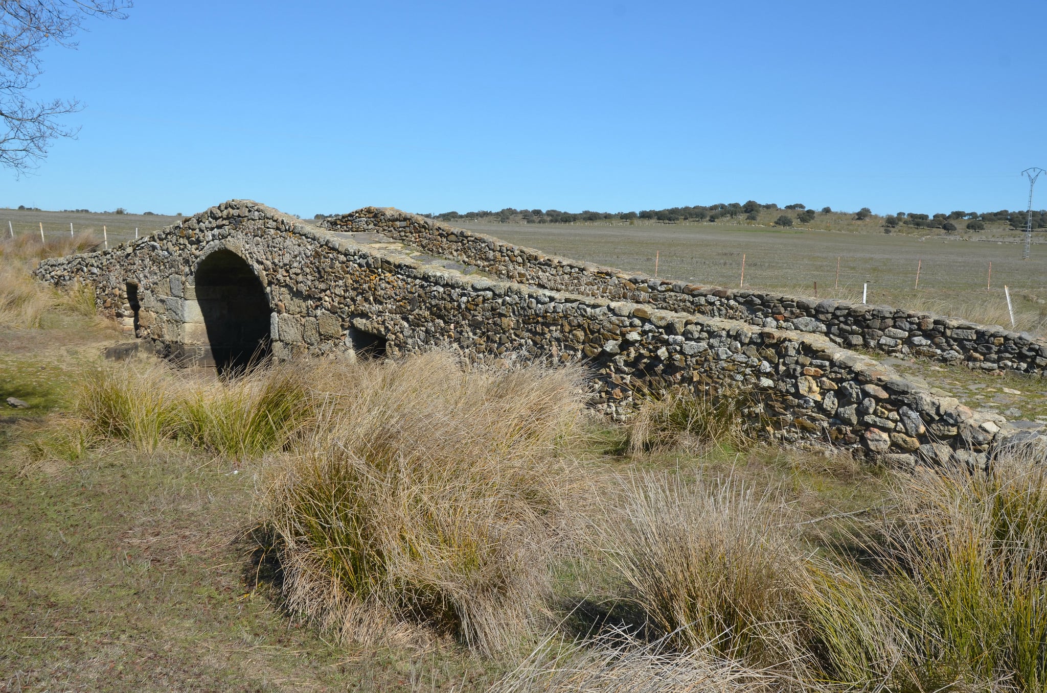
The Via de la Plata is arguably the most physically intact pre-Roman and Roman route in Western Europe that most Americans have never heard of, running roughly 435 miles from Seville north toward Salamanca through terrain that has resisted intensive cultivation for centuries. Satellite imagery across the Extremadura region shows the road as a pale, almost luminous ribbon — broader than the surrounding soil, pressed flat by millennia of use — cutting through scrubland and rolling pasture.
To be fair, parts of it have simply become a modern road, which is its own kind of preservation.
The Amber Road Across Central Europe

Amber traveled a long way before it ended up in Mediterranean jewelry. The Amber Road carried Baltic amber south from the North Sea coast through central Europe and down to the Adriatic, a route roughly 1,800 miles long that was active for thousands of years before Rome ever formalized it.
River corridors along the Vistula and Oder in Poland still carry faint traces visible in satellite imagery — not roads exactly, but the accumulated evidence of consistent human movement: slightly degraded vegetation bands, soil discolorations, and the telltale clustering of archaeological sites along a narrow corridor.
The Tea Horse Road in Southwestern China
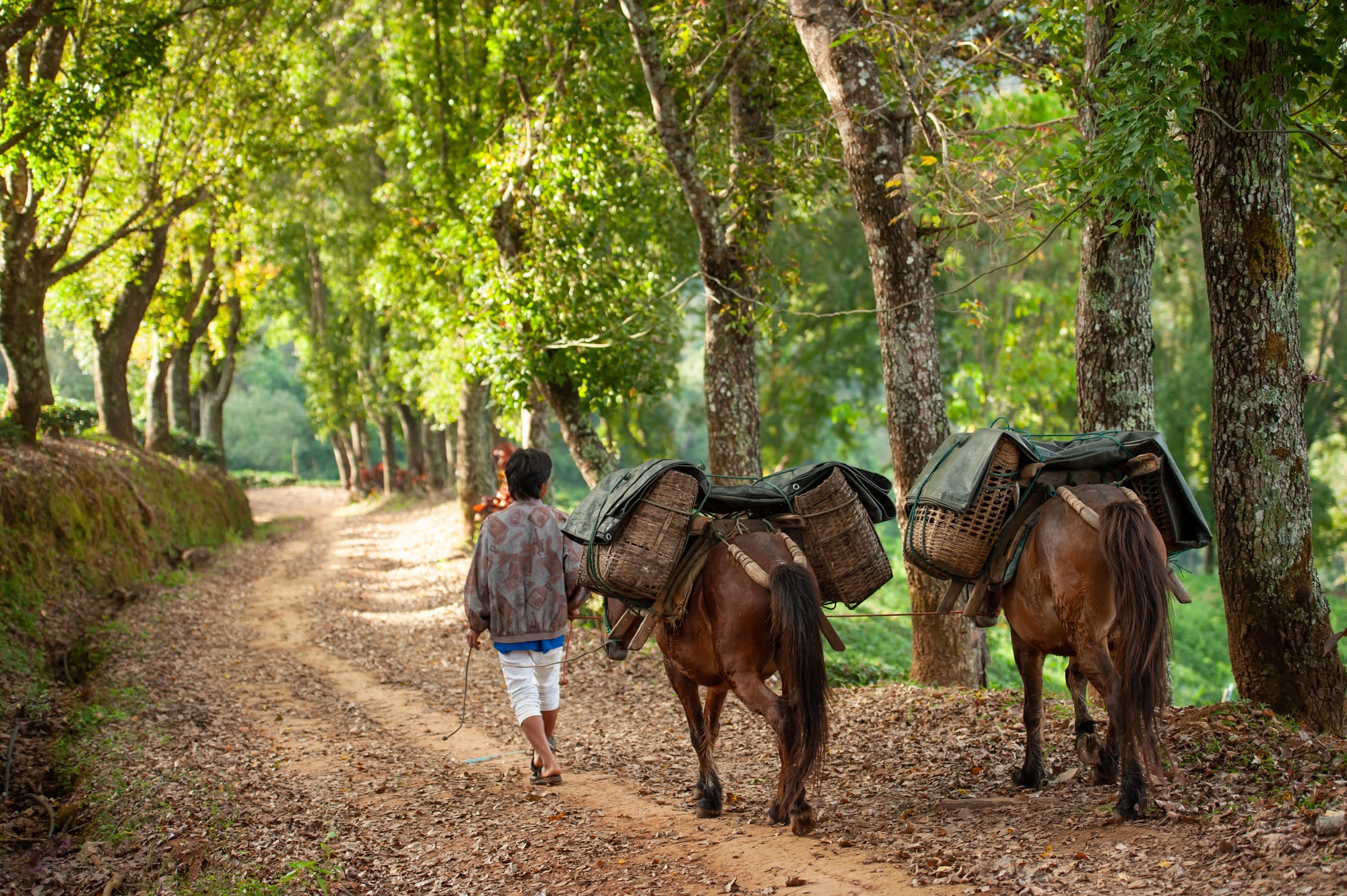
The Tea Horse Road (Chamadao in Chinese) ran from Yunnan province through Tibet and into Nepal and India, carrying compressed tea bricks one direction and horses the other. It’s one of the most physically demanding trade routes ever used — the terrain is brutal — and yet the stone-paved sections cut into cliffs above river gorges are still visible in satellite imagery across Sichuan and Yunnan.
Some sections haven’t been walked seriously in decades, and they sit up there on the mountainsides like something that simply refused to stop existing.
The Saharan Caravan Routes
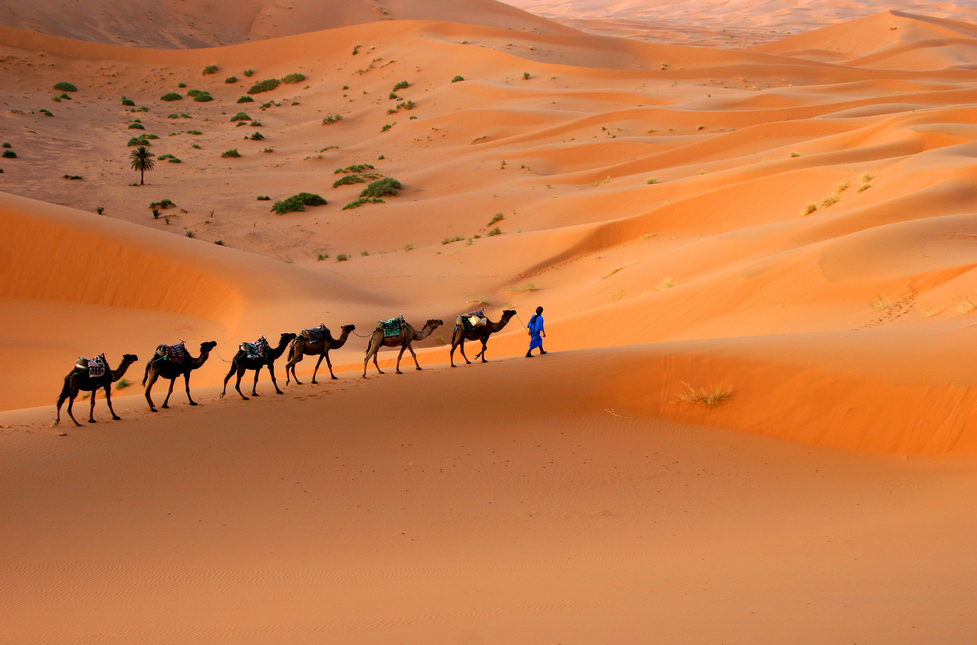
The Sahara has a memory, and it keeps it well. Caravan routes connecting sub-Saharan Africa to the Mediterranean — carrying gold, salt, and enslaved people north, and cloth and copper south — ran for over a thousand years through territory that almost nothing else crosses.
In satellite imagery, particularly in regions like the Fezzan in Libya or the Ahaggar in Algeria, the routes appear as faint linear features connecting well-spaced depressions: ancient wells, long dried up, that mark the route like punctuation. The distance between reliable water determined everything, and the paths bowed and curved accordingly.
The Natufian Corridor in the Levant
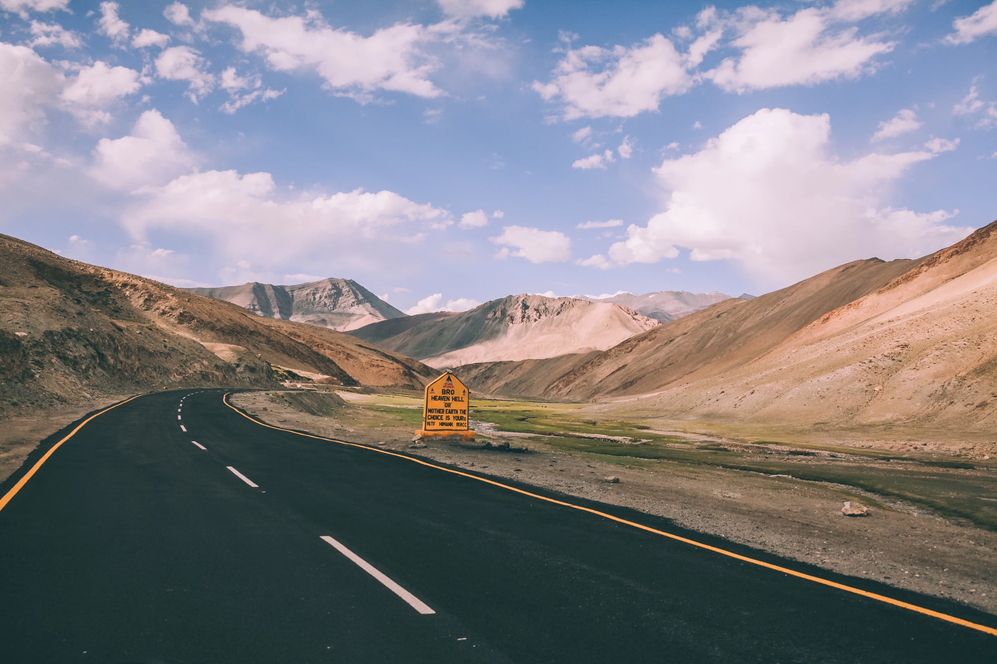
This is one of the oldest detectable trade corridors on Earth. The Natufian Corridor — named for the Natufian culture that preceded agriculture in the Levant — follows the natural geography of the Jordan Valley and the coastal plains of what is now Israel, Palestine, and Lebanon, and shows up in satellite imagery as a zone of concentrated ancient settlement rather than a single path.
Obsidian, shells, and other materials moved through this corridor more than 12,000 years ago, and the density of archaeological sites visible from space in this band is genuinely striking. The land here has been so continuously occupied that the ancient paths are buried under ancient paths.
The Cloth Route in the Andes
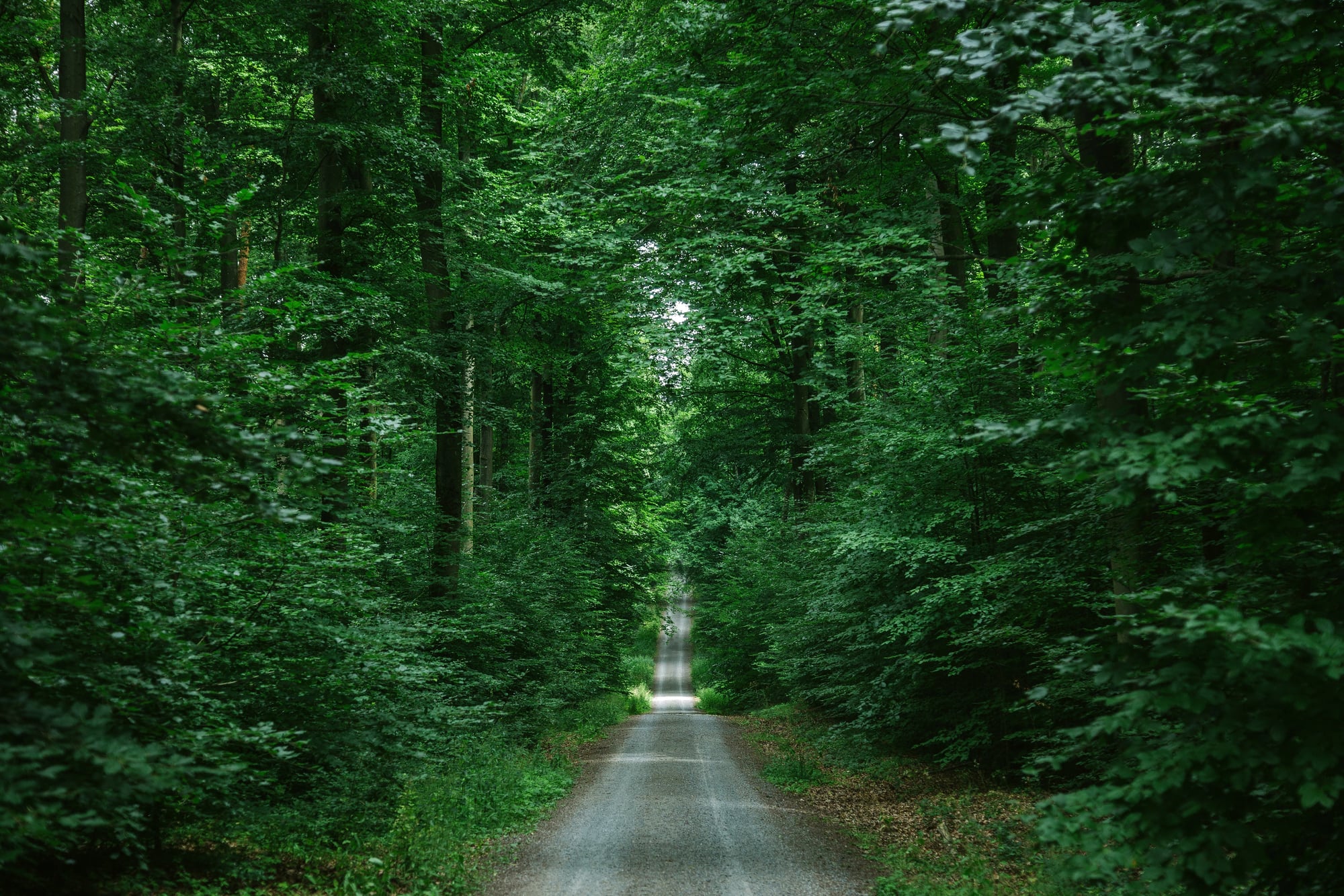
The Inca road network — the Qhapaq Ñan — covered over 24,000 miles and is one of the most visible pre-Columbian features in satellite imagery across South America. Sections crossing the Atacama Desert in Peru and northern Chile are particularly clear: straight, narrow paths pressed into the desert pavement that show up in stark contrast against the surrounding undisturbed surface.
It wasn’t just a trade route; it was infrastructure for an empire — but the movement of cloth, dried fish, and freeze-dried potatoes between altitude zones was what kept the whole thing economically alive.
The Amber-Glass Route Across the Sahel
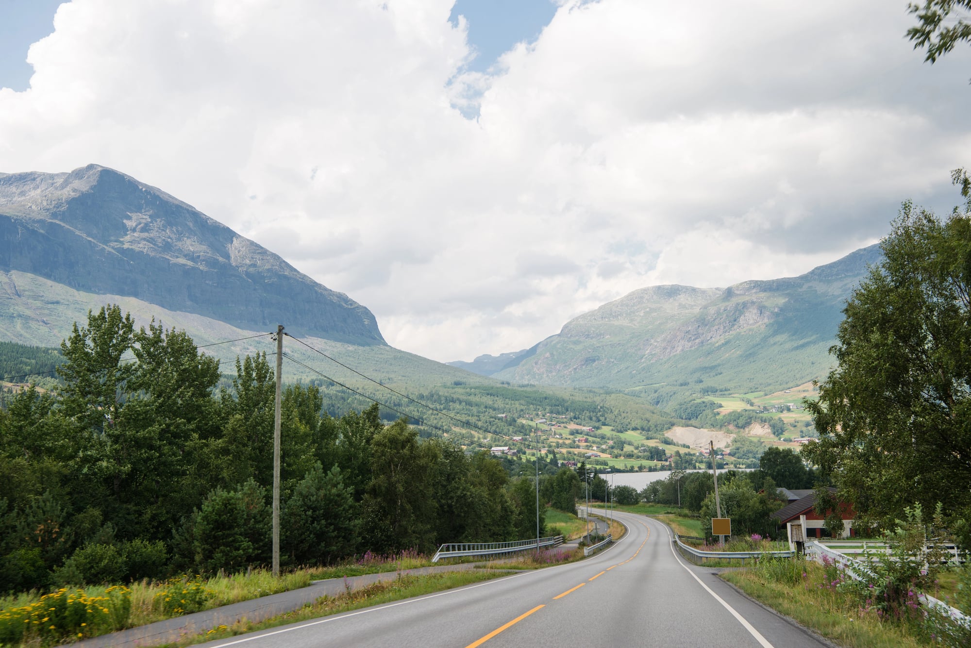
Running east-west across the Sahel, just south of the Sahara, a network of routes connected the West African kingdoms of Ghana, Mali, and Songhai with eastern trade networks reaching as far as the Red Sea coast. These paths aren’t single lines — they fan out and reconverge around seasonal water sources — but in multispectral satellite imagery over Mali and Niger, the clustering of abandoned settlement sites and disturbed soils traces the corridors clearly.
Timbuktu sat at the intersection of several of them, which is not a coincidence, and is exactly why it mattered.
The Overland Spice Route Through Anatolia
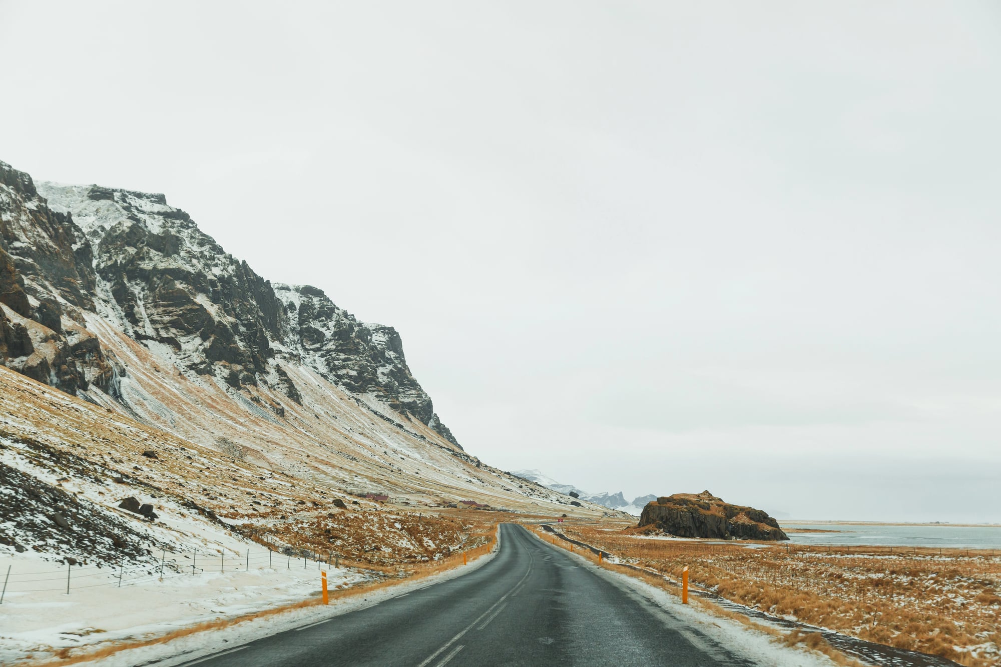
Before Portuguese sailors found the sea route to South Asia, spices moved overland through Anatolia on a route that connected the Persian Gulf to Constantinople and beyond. The route ran through what is now eastern Turkey, hugging river valleys and mountain passes, and left a trail of caravanserai ruins that are clearly visible in satellite imagery along the Euphrates and Tigris headwaters.
The ruins themselves are often the most obvious feature — square or rectangular enclosures sitting in agricultural land, their walls still standing high enough to cast visible shadows — but the faint roads connecting them are there too, if you look.
The Phoenician Coastal Network
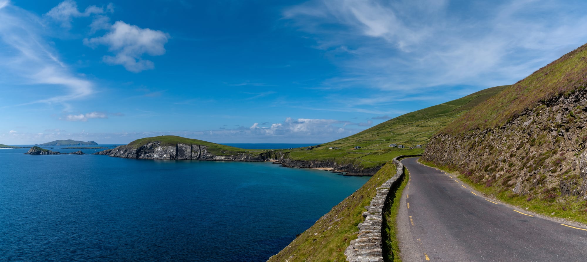
The Phoenicians didn’t just sail — they also moved goods along coastal land routes that connected their cities from Byblos south through Tyre and Sidon toward Egypt. The coastal plain of Lebanon and northern Israel is narrow enough that the routes had limited options for where to go, and the repeated use of those corridors left traces still detectable today.
Satellite imagery over the Lebanese coast shows the ancient routes as slightly elevated, compressed features running parallel to the modern highway — which, turn out, was simply built on top of them.
The Fur Trade Routes of Siberia
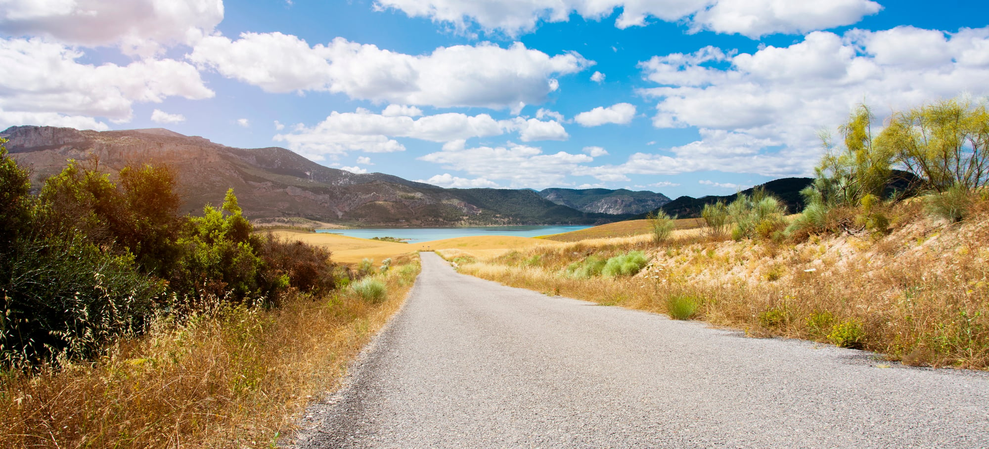
Siberia’s fur trade routes don’t get the attention they deserve. Russian expansion east across Siberia in the 17th century followed river systems — the Ob, the Yenisei, the Lena — that indigenous Siberian peoples had used for trade long before any European arrived.
Satellite imagery across the taiga and tundra shows persistent linear clearings and the clustering of abandoned fortified trading posts (ostrogs) along these river corridors, marking the paths as clearly as any desert track. The rivers did most of the navigating, but the overland portages between watersheds are the real finds: short, worn strips of ground connecting one river system to the next, some of them no wider than a cart.
The Paths That Stayed
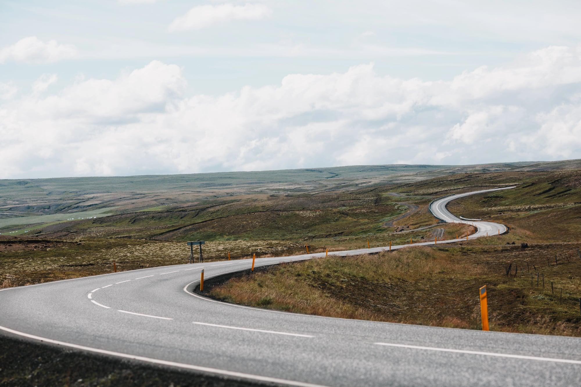
There’s a version of history that treats trade routes as purely economic things — as plumbing for commerce, functional until the goods stopped moving and then irrelevant. The satellite imagery disagrees.
These paths are compressed into the landscape with the same permanence as rivers or ridgelines, and in some cases they’ve shaped where rivers run and where ridgelines were first noticed. What shows up from space isn’t just the memory of movement — it’s evidence that the land and the people who crossed it changed each other in ways that 2,000 years of weather hasn’t been able to undo.
You can book a flight, open a satellite app from 30,000 feet, and see the road a Sogdian merchant walked in 500 CE. That’s not history. That’s the present, still wearing old clothes.
More from Go2Tutors!

- The Romanov Crown Jewels and Their Tragic Fate
- 13 Historical Mysteries That Science Still Can’t Solve
- Famous Hoaxes That Fooled the World for Years
- 15 Child Stars with Tragic Adult Lives
- 16 Famous Jewelry Pieces in History
Like Go2Tutors’s content? Follow us on MSN.