Deepest Underwater Caves Ever Mapped By Professionals
Cave diving represents one of the last frontiers of exploration on Earth. While satellites have mapped every inch of our planet’s surface, the underwater cave systems that snake through bedrock remain largely mysterious.
Professional cave mapping teams have spent decades pushing deeper into these flooded labyrinths, armed with sophisticated equipment and years of specialized training. Their discoveries reveal underwater cathedrals that dwarf the largest buildings humans have ever constructed.
Sistema Sac Actun
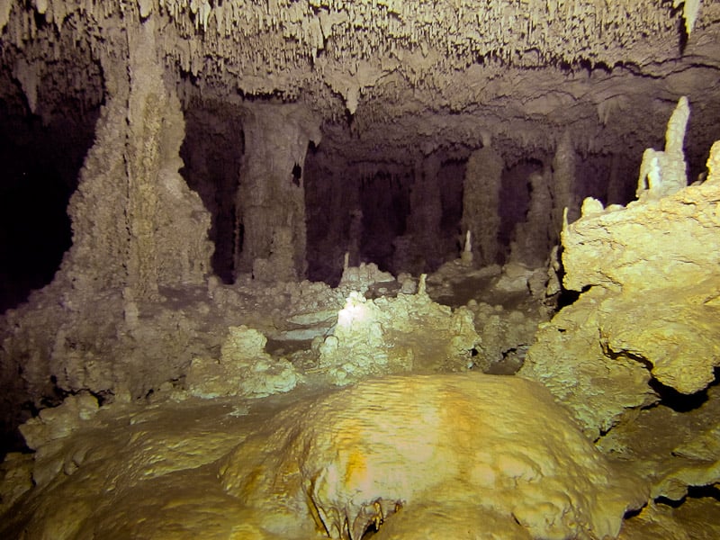
This cave system stretches over 259 kilometers through Mexico’s Yucatan Peninsula as of January 2023, making it the second longest explored underwater cave system. Professional mapping teams have worked for decades to chart its passages, which plunge to depths exceeding 119 meters below sea level.
The system connects multiple cenotes across a vast underground network that was considered sacred by the ancient Maya.
Ox Bel Ha
The name means “Three Paths of Water” in Mayan, and professional divers have mapped over 541.7 kilometers of passages in this underwater maze as of February 2026, making it the longest explored underwater cave system in the world. The cave reaches maximum depths of 57 meters, but what makes it remarkable isn’t just depth — it’s the sheer complexity of the system.
Mapping teams have identified over 140 different entrances, each leading into a different section of this submerged world.
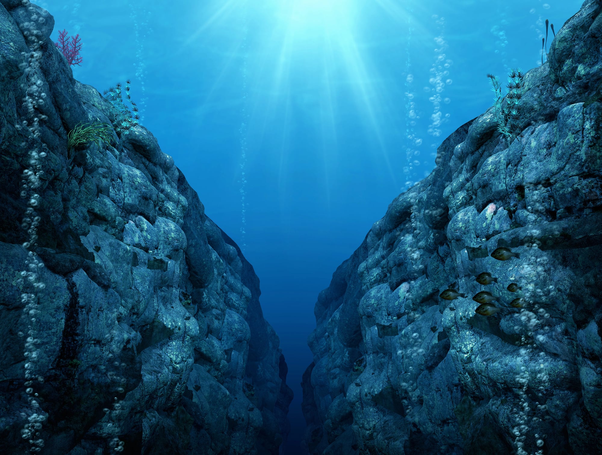
Sistema Dos Ojos
Professional cave mappers working in Mexico’s Riviera Maya have spent years charting this system (and here’s where it gets interesting — they’re still discovering new passages decades after the first surveys began), documenting depths that reach 119 meters in some sections while simultaneously revealing chambers so vast that dive lights can’t illuminate the far walls.
The mapping process itself becomes an exercise in three-dimensional puzzle-solving, where each newly discovered tunnel might connect to passages mapped years earlier by entirely different teams — or it might dead-end in a silt-filled chamber that hasn’t seen flowing water in millennia. But the real challenge isn’t just the mapping. It’s staying alive long enough to complete it.
Wakulla Springs
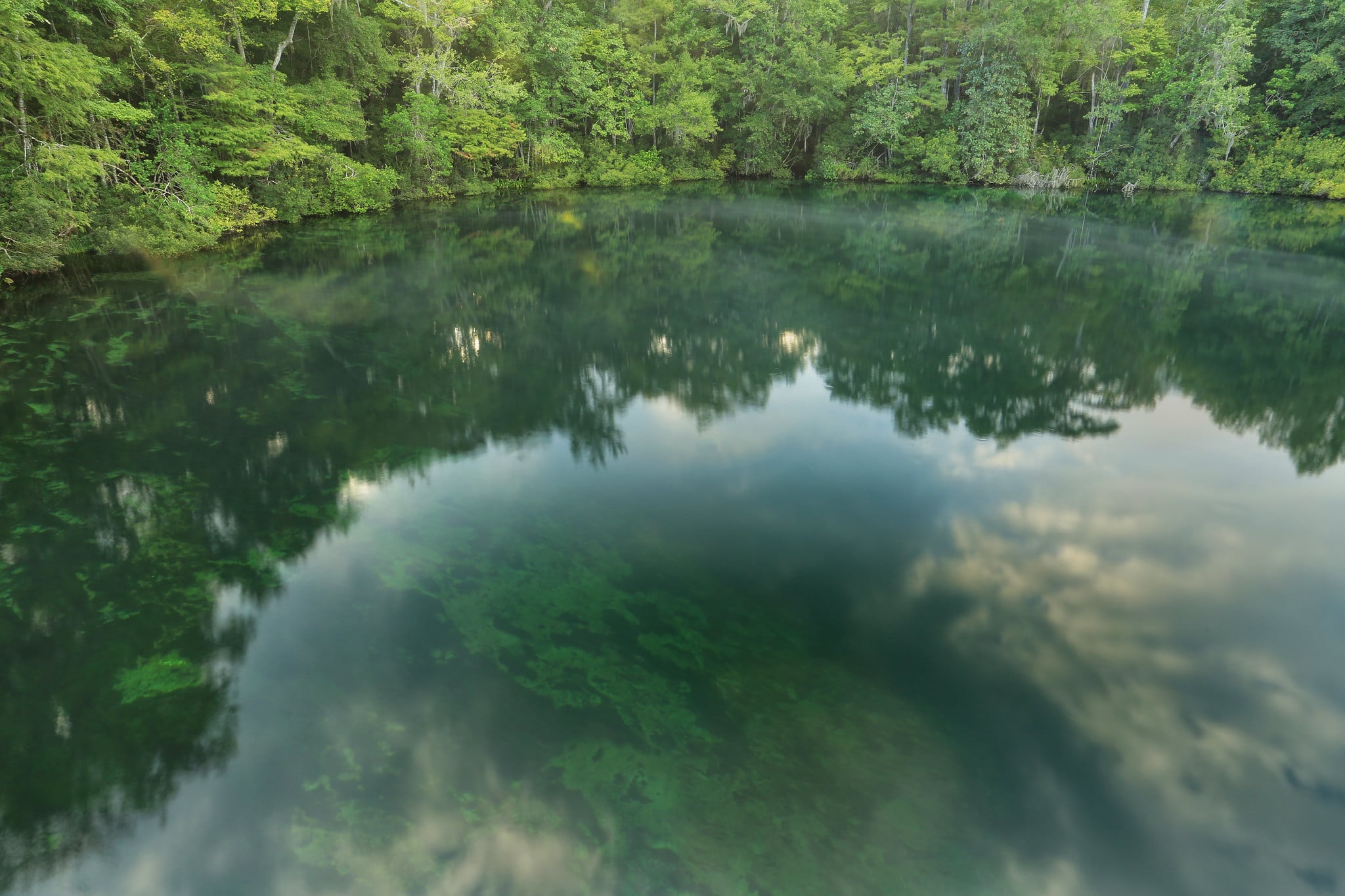
Florida’s Wakulla Springs cave system has been mapped to depths exceeding 90 meters by professional teams using advanced diving equipment. The cave produces one of the largest freshwater springs in the world, discharging over 400 million gallons daily.
The mapping revealed a complex network of tunnels that extend far beyond what early explorers imagined possible.
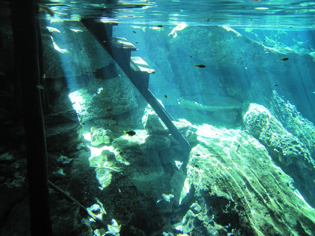
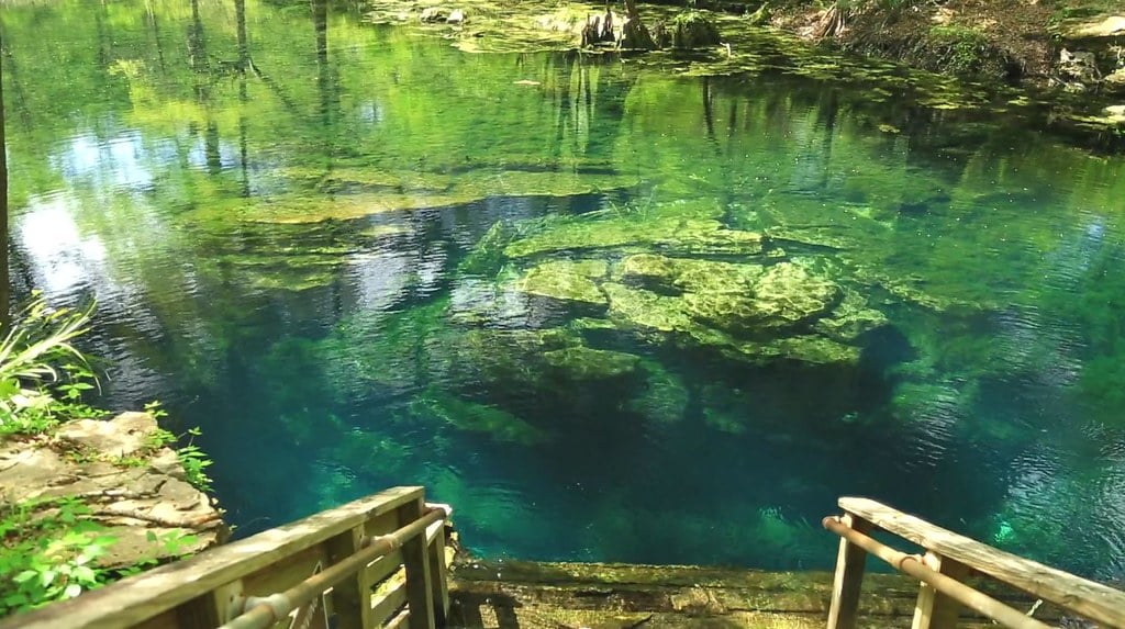
Jacob’s Well
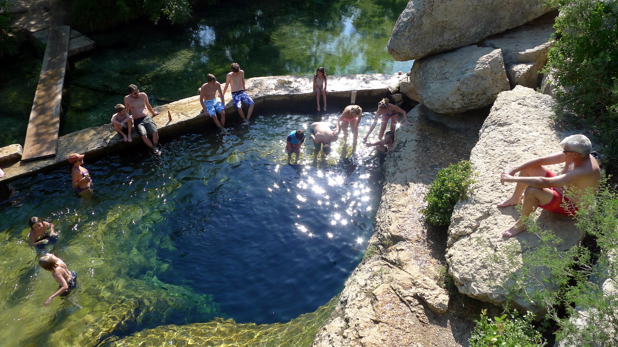
Professional divers have mapped Jacob’s Well in Texas to depths of over 40 meters, revealing a deceptively complex system beneath what appears to be a simple swimming pit. The cave has claimed multiple lives, earning it a reputation as one of the most dangerous diving sites in America.
The mapping teams discovered that the seemingly innocent opening leads to a labyrinthine system of false tunnels and silt traps.
Peacock Springs
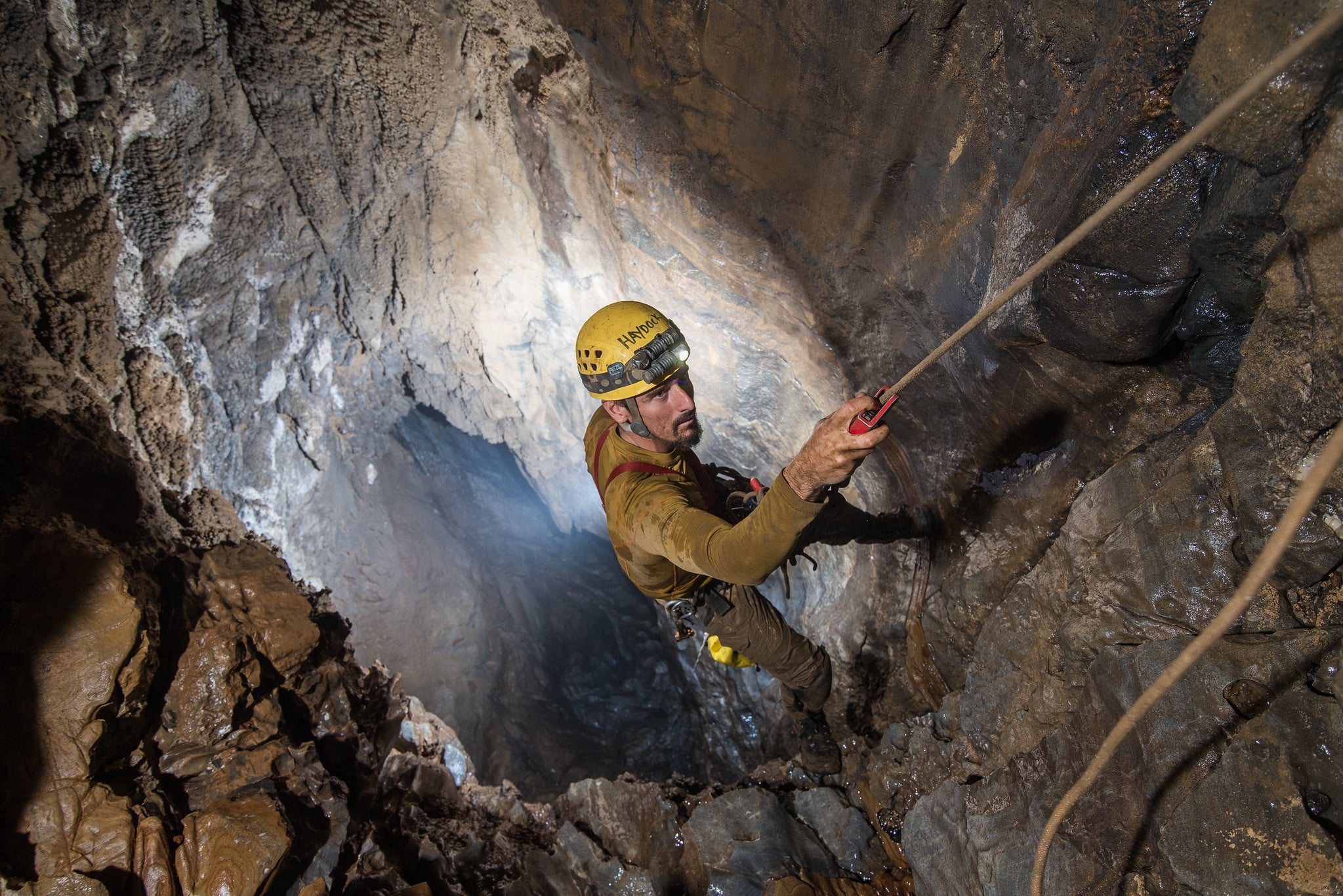
Cave diving is like surgery performed in complete darkness while holding your breath for an hour straight. Except you can’t hold your breath, so you’re carrying tanks of compressed air that will run out whether you’ve found your way back to daylight or not.
The professionals who map these systems understand something the rest of us don’t: every passage they chart might save someone’s life years later, or it might be the route that leads them home when their original plan falls apart 60 meters underground.
At Peacock Springs in Florida, mapping teams have documented a system that reaches depths of 27 meters but extends horizontally for kilometers through the limestone bedrock. The cave feels less like a natural formation and more like a flooded city, complete with rooms, hallways, and dead-end alleys that all look disturbingly similar when you’re running low on air.
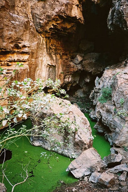
Cenote Angelita
The mapping of Cenote Angelita revealed one of the most surreal underwater environments ever documented. Professional divers discovered that at 30 meters depth, a layer of hydrogen sulfide creates what appears to be an underwater river, complete with banks and fallen trees.
The visual effect is so convincing that divers report feeling like they’re flying above a landscape rather than swimming through water.
Dragon’s Breath Cave
Teams of professional cavers and divers have mapped portions of Dragon’s Breath Cave in Namibia, though much of the system remains unexplored. The mapped sections reveal an underground lake that sits 60 meters below the surface, but the true depth of the water body remains unknown.
The cave presents unique logistical challenges since all equipment must be lowered through a single narrow entrance.
Sistema Huautla
Professional cave mapping teams working in Mexico’s Sistema Huautla have documented underwater sections that connect to one of the world’s deepest cave systems. The underwater passages reach depths of over 50 meters below the water table, but they represent only a fraction of a cave system that extends over 1,500 meters deep when dry passages are included.
Boesmansgat
Cave diving doesn’t get more technical than Boesmansgat in South Africa. Professional technical divers have mapped this flooded sinkhole to depths exceeding 282.6 meters, making it one of the deepest freshwater cave dives ever completed.
The cave requires mixed-gas breathing systems and decompression stops that can last hours.
Zacatón
The mapping of Zacatón in Mexico revealed the deepest known water-filled sinkhole in the world, with professional divers documenting depths exceeding 339 meters. The cave’s extreme depth has made it a testing ground for underwater robotics, since human divers cannot safely reach the bottom sections even with the most advanced technical diving equipment.
The Abyss Beckons

These mapped depths represent just the beginning of what lies beneath. Professional cave mapping teams continue pushing deeper into systems that may extend for hundreds of meters beyond current limits.
Each expedition adds another piece to the puzzle of these underwater worlds, revealing landscapes that existed long before humans walked the Earth. The maps they create don’t just satisfy curiosity — they provide the navigation tools that allow other divers to explore these environments and return safely to the surface.
More from Go2Tutors!

- The Romanov Crown Jewels and Their Tragic Fate
- 13 Historical Mysteries That Science Still Can’t Solve
- Famous Hoaxes That Fooled the World for Years
- 15 Child Stars with Tragic Adult Lives
- 16 Famous Jewelry Pieces in History
Like Go2Tutors’s content? Follow us on MSN.