Geological Events That Reshaped Entire Regions in a Single Day
The Earth doesn’t ask permission. It doesn’t send warnings far enough in advance, doesn’t pause to let civilizations relocate, and certainly doesn’t concern itself with the infrastructure humans have spent centuries building on top of it.
The geological record is full of moments — single days, sometimes single hours — when entire landscapes were permanently rewritten. Mountains collapsed. Coastlines vanished. Rivers reversed course. New islands rose from the ocean floor before anyone had a name for them.
These weren’t slow processes measured in millennia. They were ruptures, detonations, collapses — events violent and immediate enough that people alive that day watched their world become unrecognizable before nightfall.
Some of these events killed thousands. Others reshaped geography so completely that maps had to be redrawn.
All of them are reminders that the ground beneath your feet has its own agenda, and it doesn’t coordinate with yours.
The 1980 Mount St. Helens Eruption
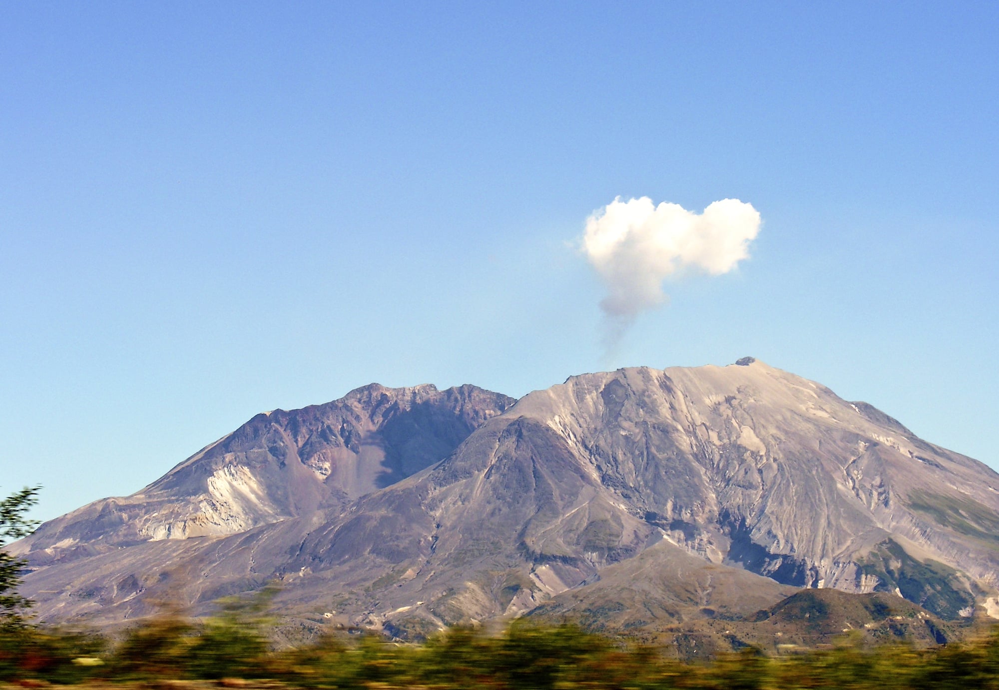
The north face of Mount St. Helens didn’t erode. It exploded — sideways, at roughly 300 miles per hour, on the morning of May 18, 1980.
The lateral blast flattened 230 square miles of old-growth forest in minutes, depositing enough ash to bury entire towns and reducing the mountain’s elevation by 1,314 feet in a single morning. The Toutle River was choked with volcanic debris so thick that the Army Corps of Engineers spent years trying to clear it.
The 1958 Lituya Bay Megatsunami
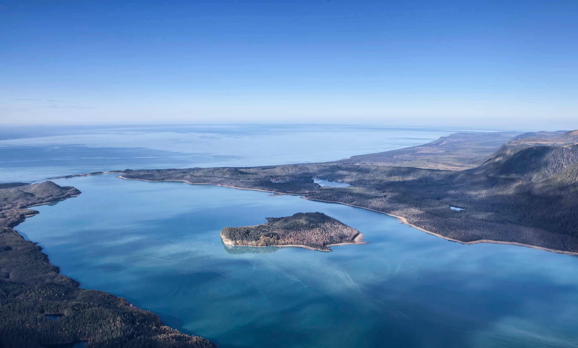
Lituya Bay in Alaska is the kind of place that looks serene right up until it isn’t, and on July 9, 1958, a magnitude 7.8 earthquake triggered a rockfall of roughly 90 million tons into the bay’s inlet — generating a wave that climbed 1,720 feet up the opposite slope, the highest tsunami runup ever recorded.
Trees were stripped from ridges that hadn’t seen water since the Pleistocene, and the entire shoreline of the bay was scoured bare. It happened in minutes.
The 1883 Krakatoa Eruption
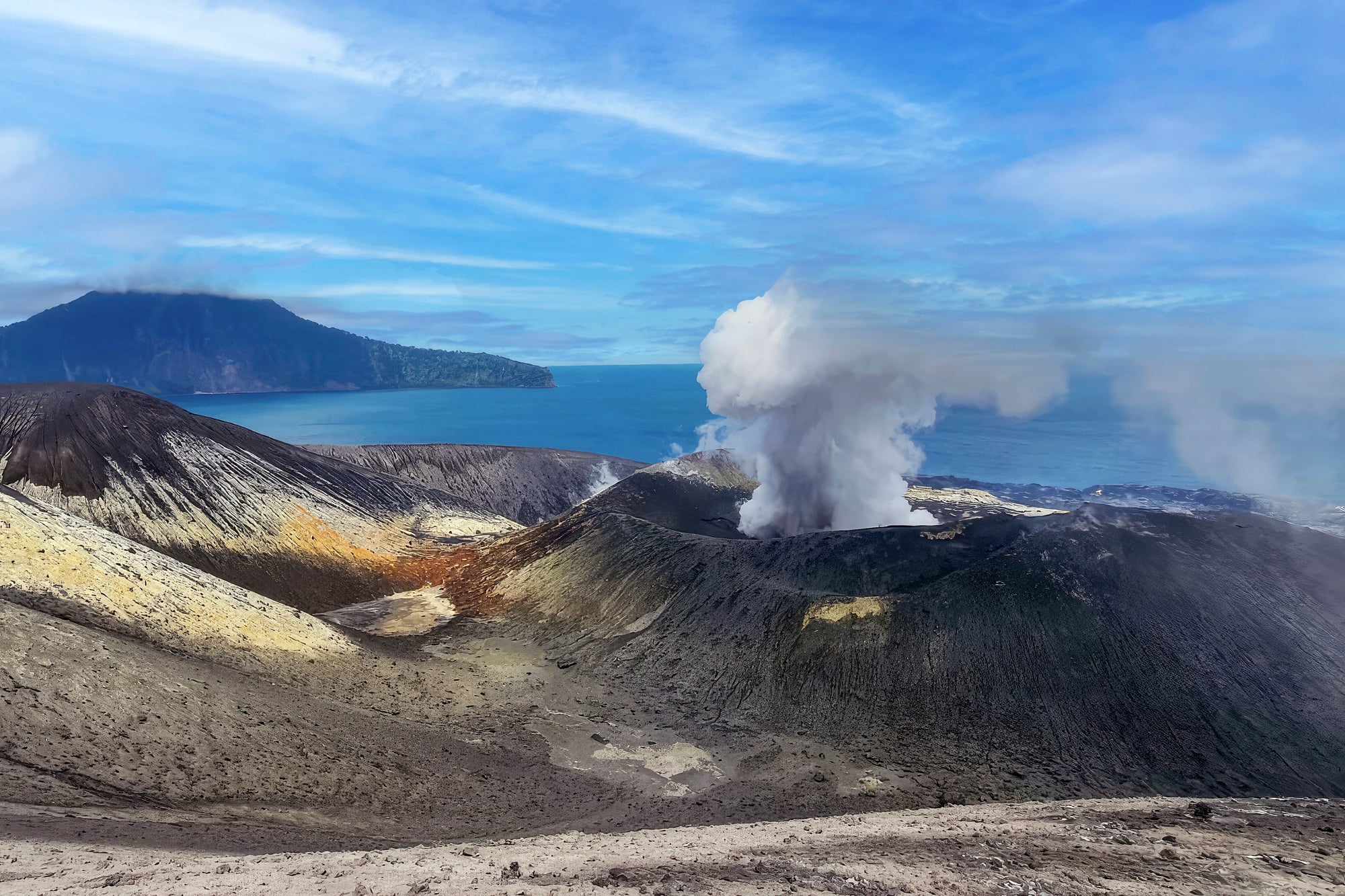
Krakatoa didn’t just erupt — it unmade itself. The island that had existed for centuries collapsed into a submarine caldera on August 27, 1883, and the explosion that followed was heard in Australia, nearly 2,000 miles away.
The resulting tsunamis killed more than 36,000 people along the coasts of Java and Sumatra, and the ash cloud altered global temperatures for the following year.
The 1811 New Madrid Earthquake
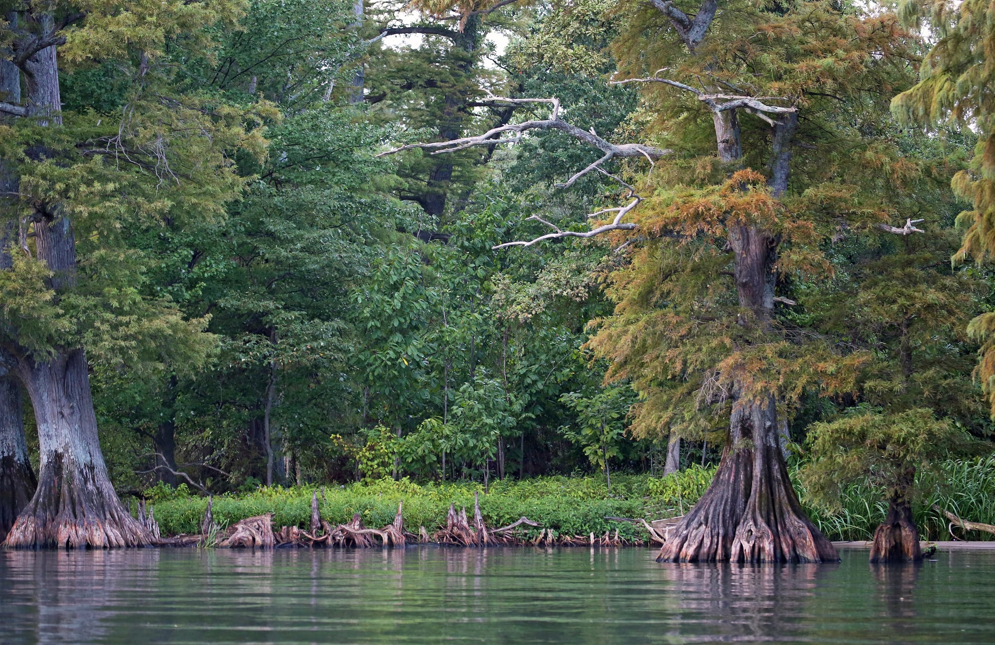
The ground beneath the Mississippi River Valley doesn’t behave like ordinary American geology, and on December 16, 1811, it proved that with a magnitude 7.5 earthquake — one of a sequence that would repeat through early 1812 — that caused the Mississippi River to appear to flow backward for a period.
Reelfoot Lake in Tennessee was created that day: a new body of water born from land that simply dropped. The event rang church bells in Washington, D.C.
The 1963 Vajont Dam Disaster
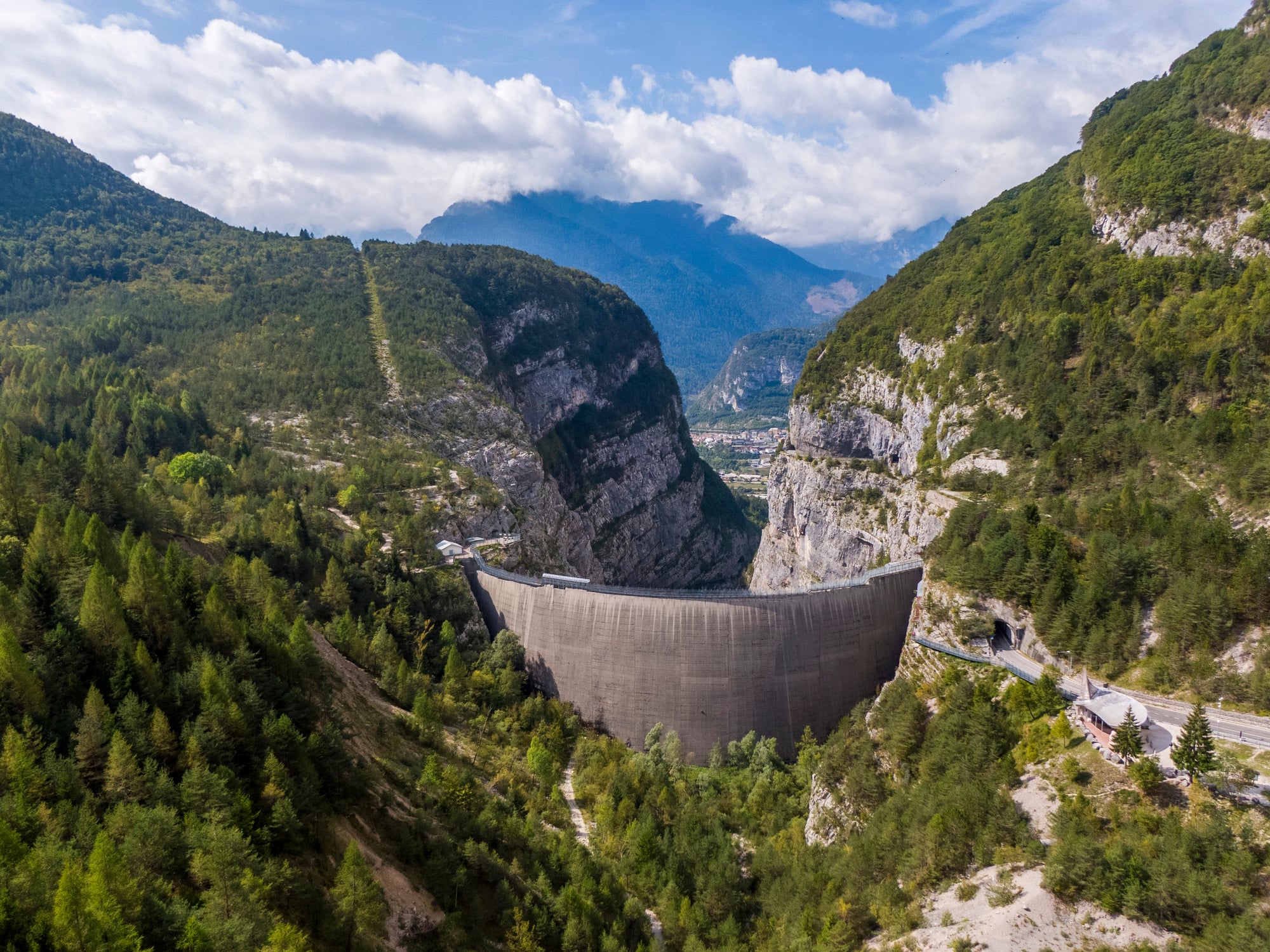
The Vajont disaster is what happens when geologists are ignored, and — to be blunt about it — they were ignored spectacularly.
On October 9, 1963, approximately 260 million cubic yards of mountainside slid into the Vajont reservoir in northern Italy, displacing water in a wave that overtopped the dam by nearly 820 feet and erased the town of Longarone in minutes, killing close to 2,000 people. The dam itself survived; the valley below it did not.
The 1815 Tambora Eruption
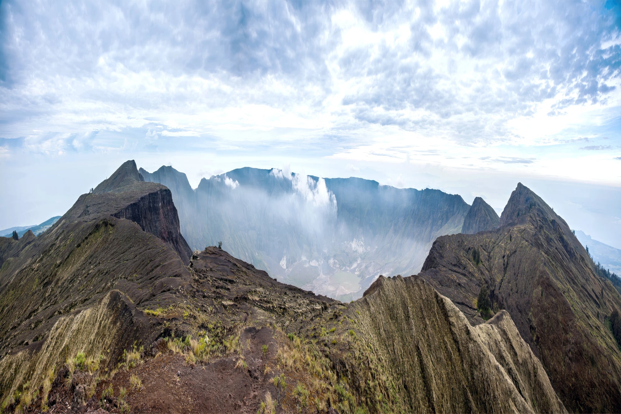
Tambora is the eruption that most people can’t name, which is remarkable given that it was the largest volcanic eruption in recorded human history.
On April 10, 1815, the Indonesian volcano ejected so much ash and sulfur dioxide into the stratosphere that 1816 became known as “the Year Without a Summer” — crops failed across the Northern Hemisphere, famines followed, and the summit of the mountain lost roughly 4,100 feet of elevation in a single day’s violence.
The 2011 Tōhoku Earthquake and Tsunami
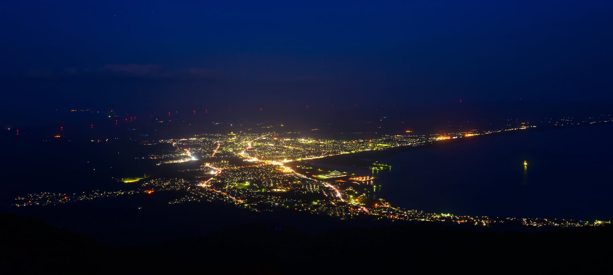
Japan’s eastern coastline moved. Not metaphorically — the Tōhoku earthquake of March 11, 2011, shifted portions of Japan’s main island, Honshu, eastward by as much as 8 feet and dropped some coastal areas by over 2 feet permanently.
The tsunami that followed reshaped miles of coastline, deposited ocean sediment across farmland, and created new geographic features from what used to be inhabited ground. The seafloor off the coast rose by several feet in places.
The 1692 Port Royal Earthquake
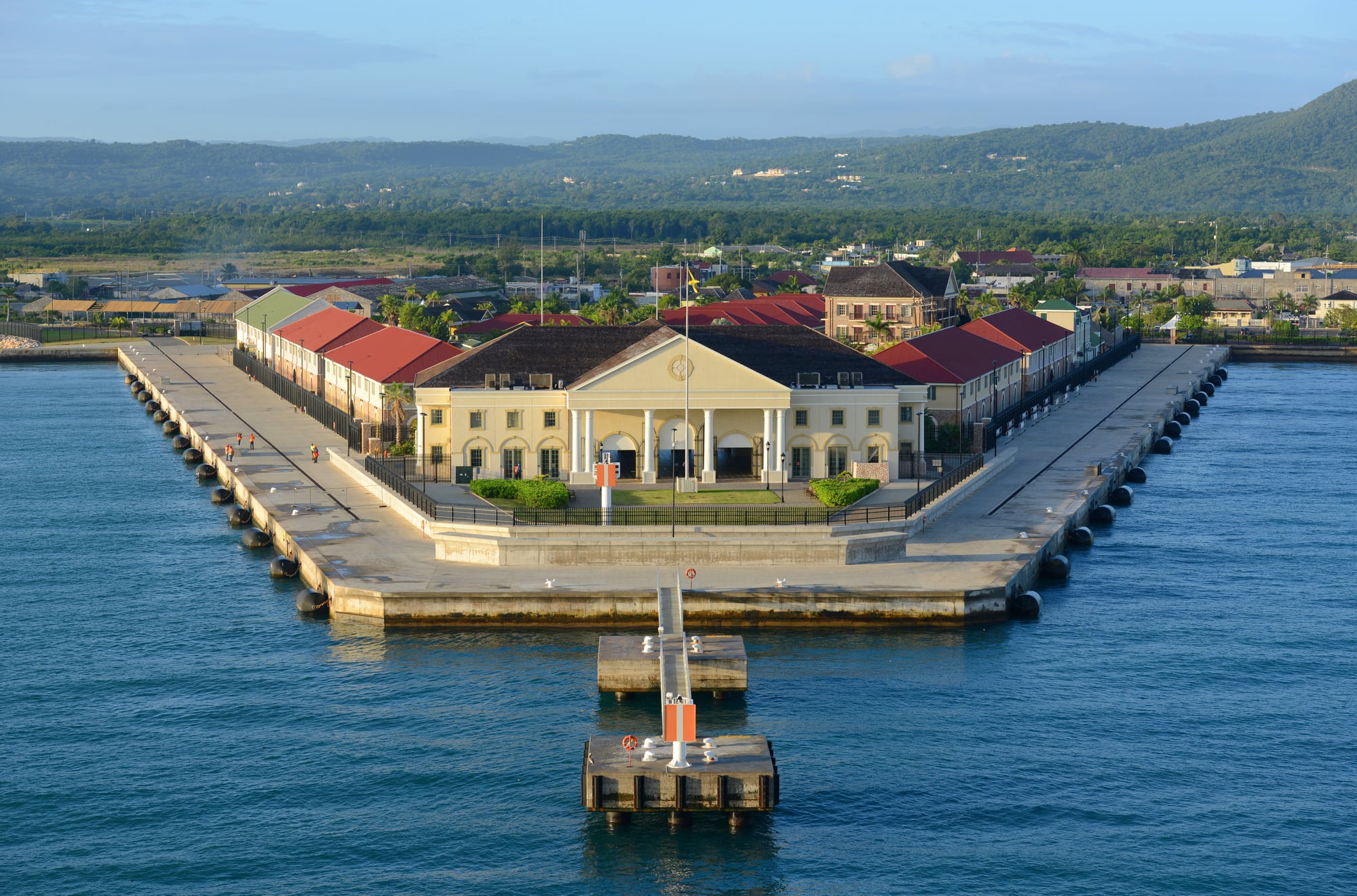
Port Royal, Jamaica, was once described as the wickedest city in the world, which turns out to be the kind of reputation that history remembers more fondly than the city deserved.
On June 7, 1692, a massive earthquake caused two-thirds of the city to sink into Kingston Harbour — literally, within minutes, through a process called liquefaction, where saturated ground behaves like liquid under seismic stress. An estimated 2,000 people died as buildings and streets simply slid into the sea.
The 1980 Spirit Lake Transformation
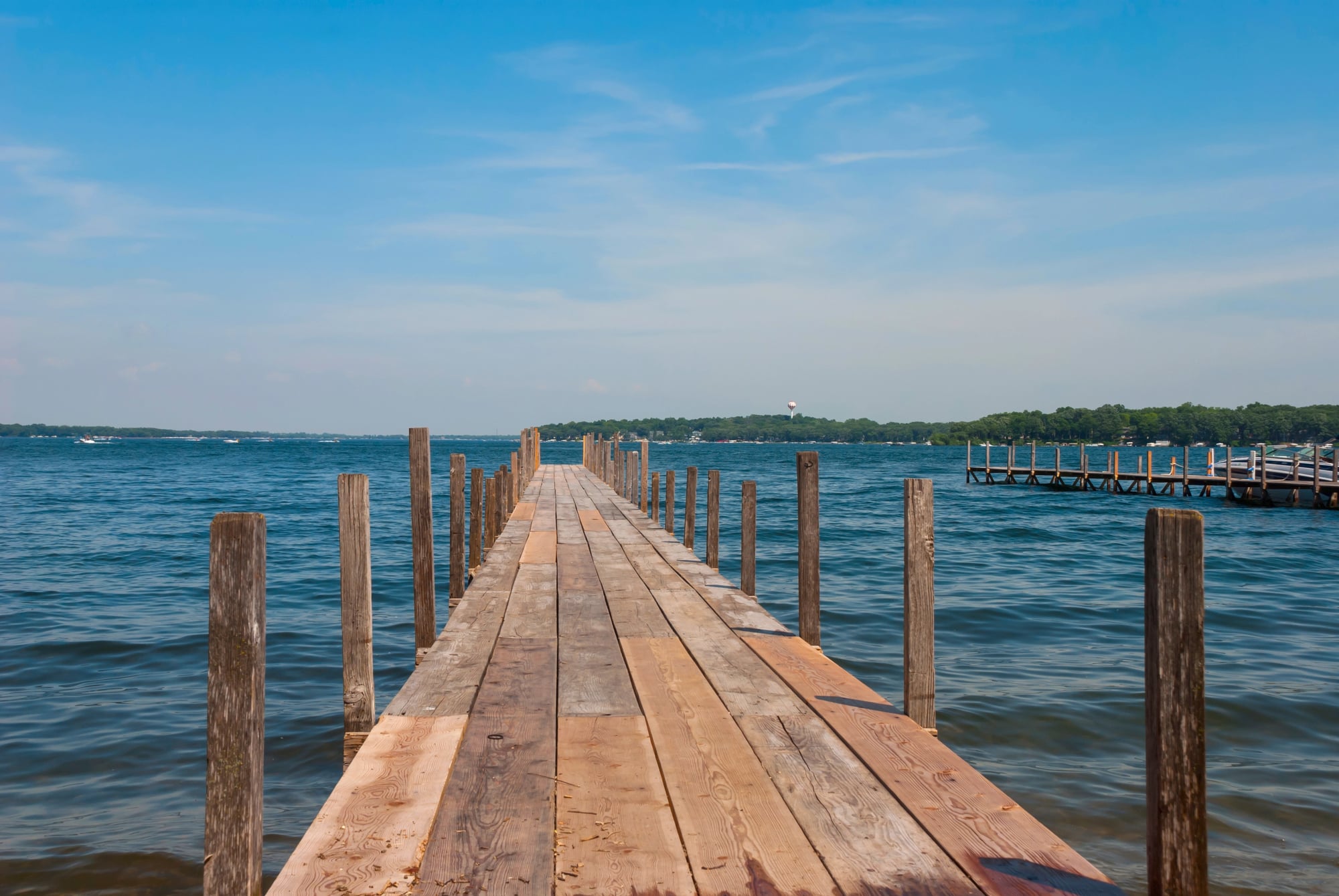
Spirit Lake sat north of Mount St. Helens as a clear, cold alpine lake at an elevation of roughly 3,198 feet — and then the eruption hit it.
The landslide debris and pyroclastic material that roared into the lake that May morning raised its floor by around 200 feet, nearly doubled its surface area, and blanketed it with so much floating timber that the mat of logs persisted for years afterward. The lake that existed before May 18 is simply gone.
The 1950 Assam Earthquake
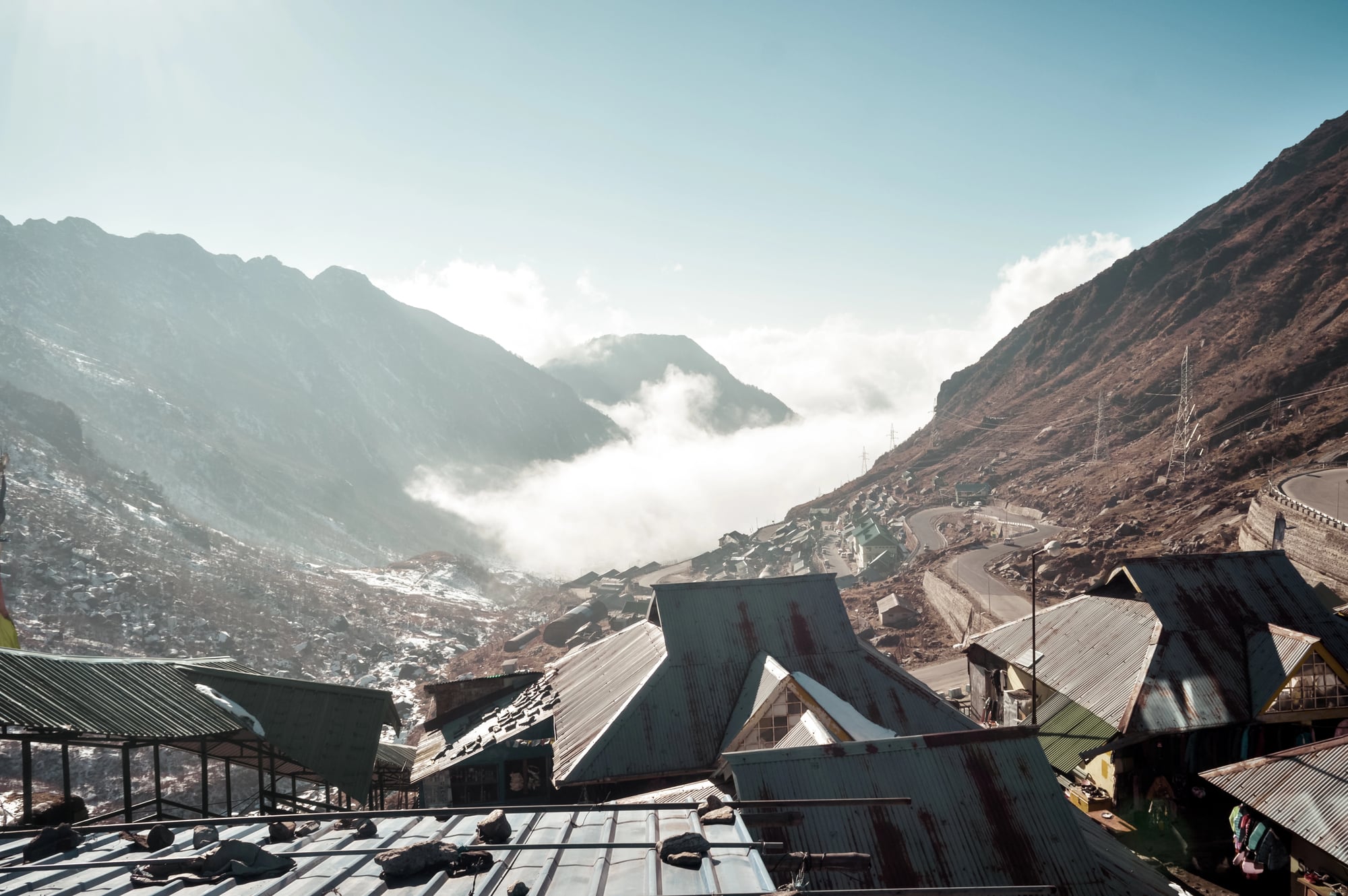
The 1950 Assam earthquake (magnitude 8.6) remains one of the most geologically disruptive events of the 20th century in terms of landscape transformation — it triggered thousands of landslides across the eastern Himalayas simultaneously, damming rivers, creating new lakes, and burying valleys under debris so thick that subsequent floods took years to work through the blockages.
The Brahmaputra River carried sediment loads for months afterward that were measurably higher than anything previously recorded. The topography of the region around the epicenter was permanently altered.
The 1783 Laki Eruption
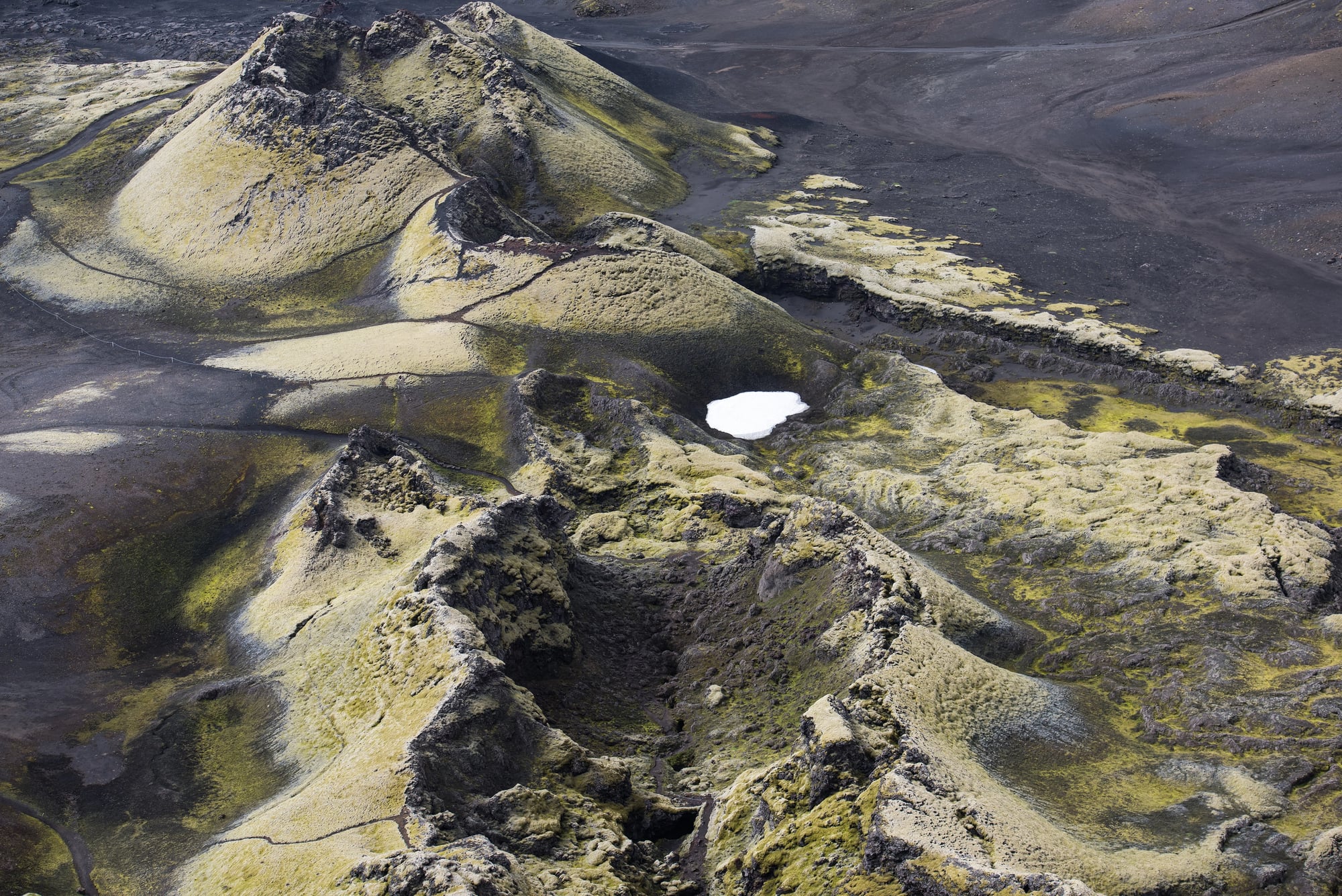
Iceland’s Laki fissure didn’t produce a single dramatic explosion — it did something slower and, in a sense, more merciless.
Beginning June 8, 1783, the fissure erupted for eight months, but the single opening day alone released enough lava to cover a landscape the size of some U.S. states, and the sulfur dioxide cloud that drifted over Europe killed livestock, ruined harvests, and contributed to what historians now connect to food shortages that preceded the French Revolution. Iceland lost roughly a quarter of its population to the famine that followed.
The 2008 Sichuan Earthquake
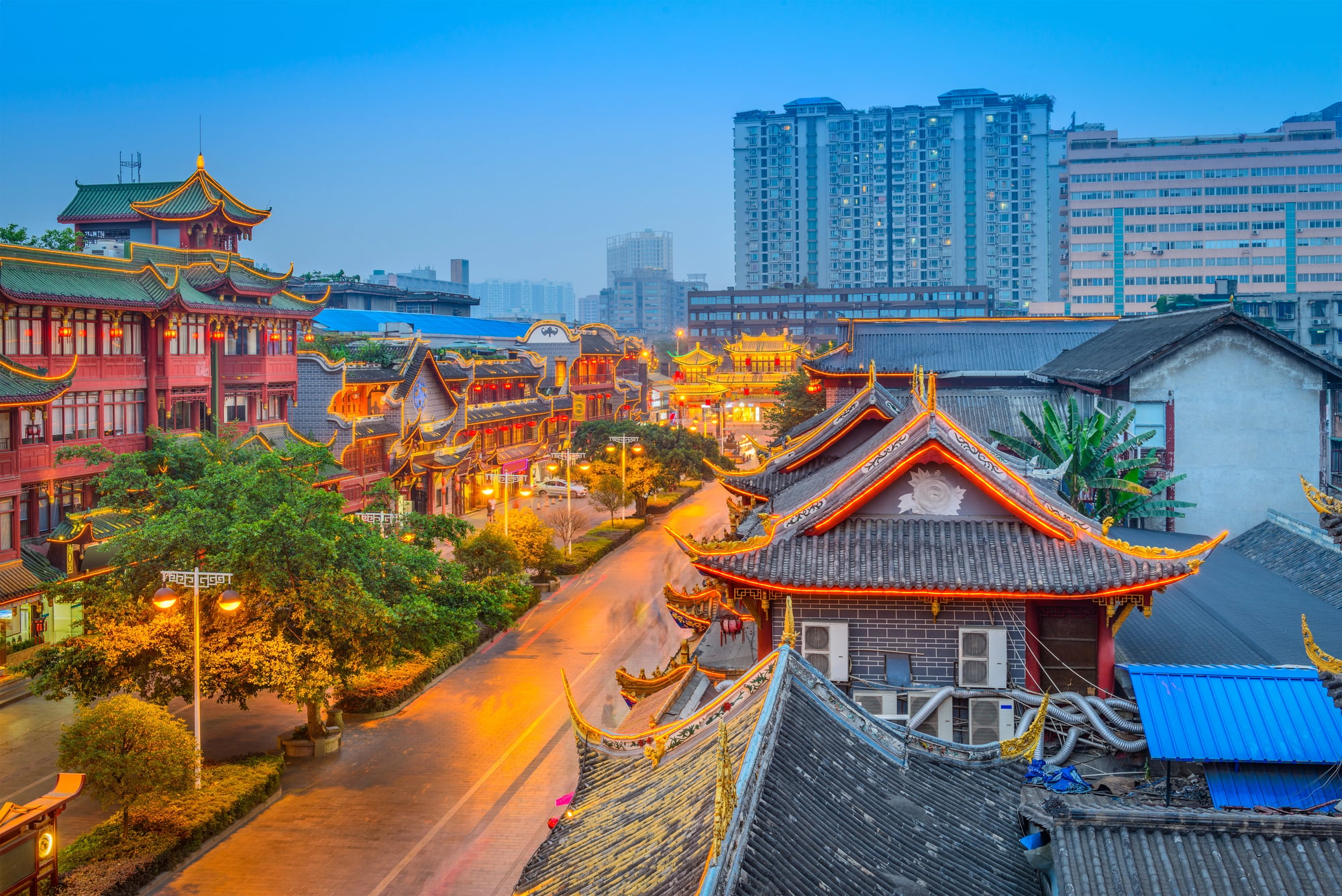
The Sichuan earthquake of May 12, 2008 (magnitude 7.9), didn’t just kill nearly 70,000 people — it rearranged mountain terrain across a wide swath of southwestern China with a thoroughness that geologists spent years documenting.
Landslides created more than 30 “quake lakes” by blocking rivers with debris, some of which posed ongoing flood threats for months. The Minjiang and Tuojiang rivers were both partially dammed within hours of the shaking stopping.
The 1902 Mount Pelée Eruption
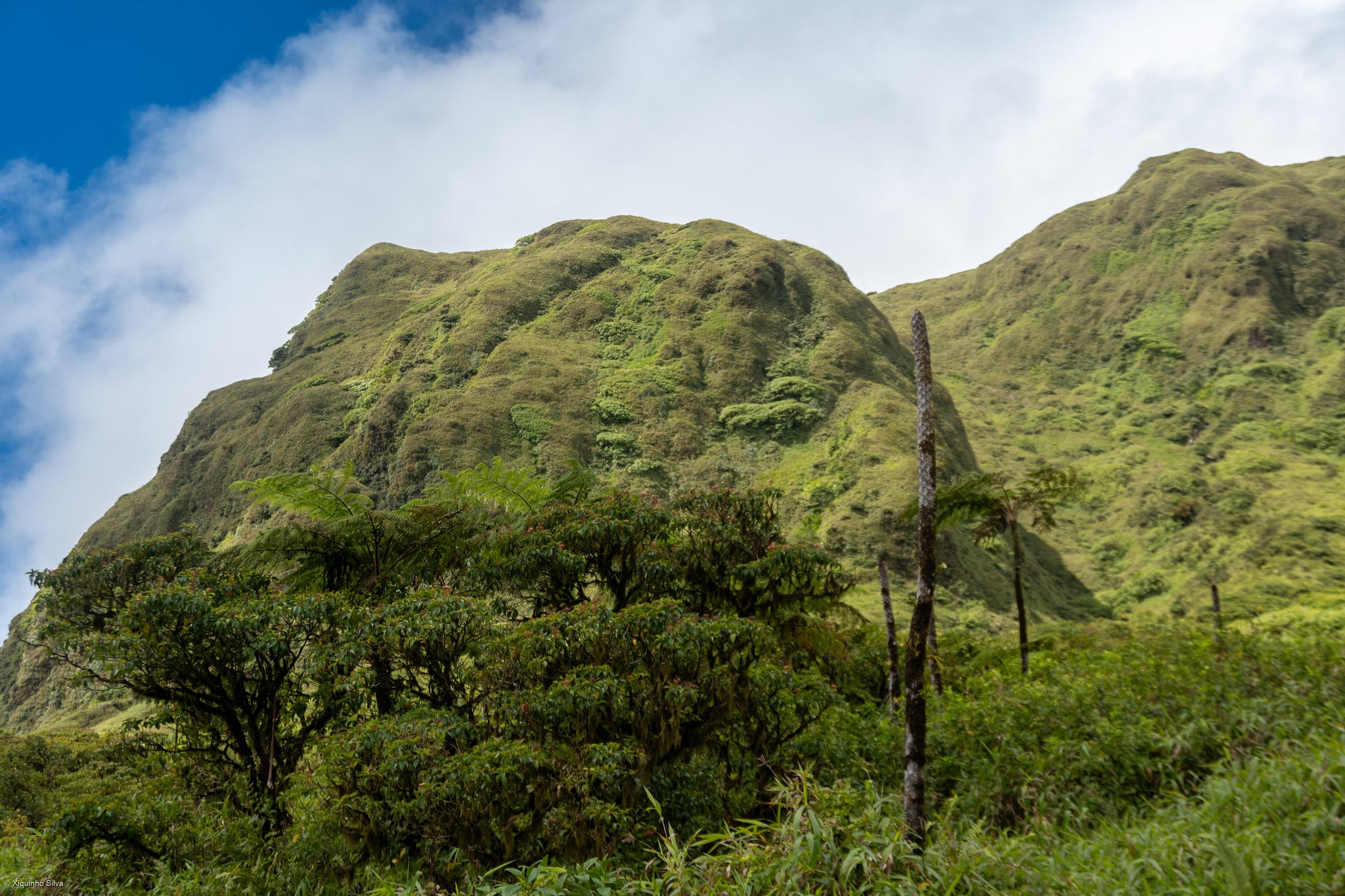
Mount Pelée on the island of Martinique erased the city of Saint-Pierre on the morning of May 8, 1902 — not through lava, but through a pyroclastic density current, a superheated avalanche of gas and volcanic material that moved faster than the city’s 30,000 residents had any chance of outrunning.
The event obliterated what was then the cultural capital of the Caribbean in roughly two minutes. One man survived in a dungeon cell; another survived at the city’s edge.
The 1964 Good Friday Alaska Earthquake
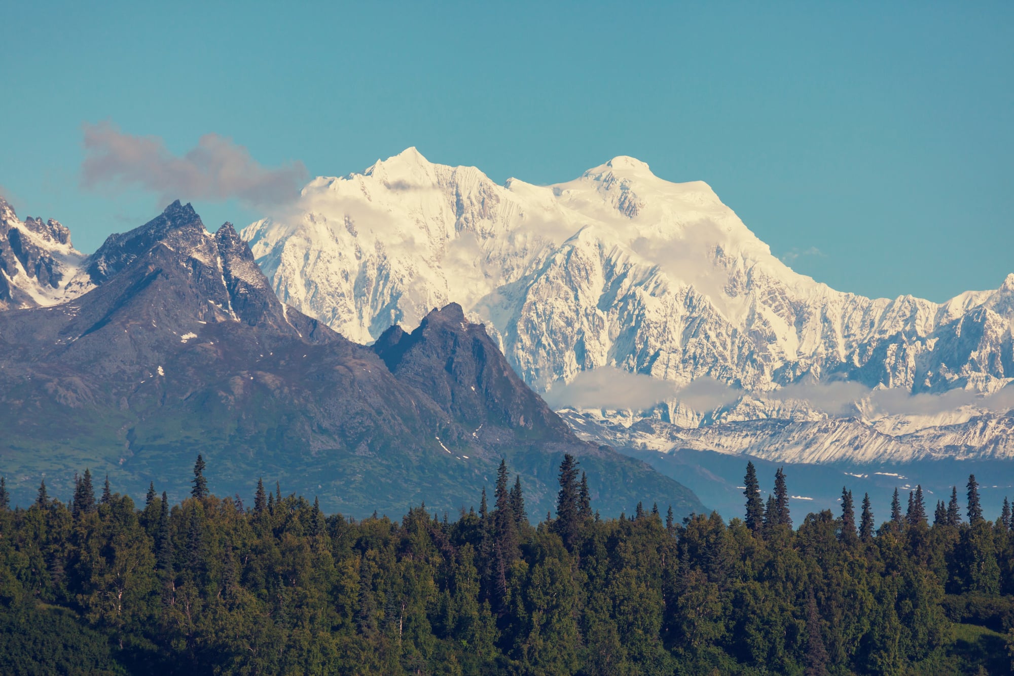
The Good Friday earthquake of March 27, 1964 (magnitude 9.2), is the most powerful earthquake ever recorded in North America, and it reshaped Alaska’s coastline with a violence that’s still visible today.
Some areas near Anchorage dropped by as much as 8 feet permanently, while the Kenai Peninsula rose by up to 6 feet — new tidal flats appeared where there had been none, and old ones were lifted clear of the sea. The Turnagain Heights neighborhood in Anchorage slid into Cook Inlet as its clay foundation liquefied.
The 1963 Surtsey Island Formation
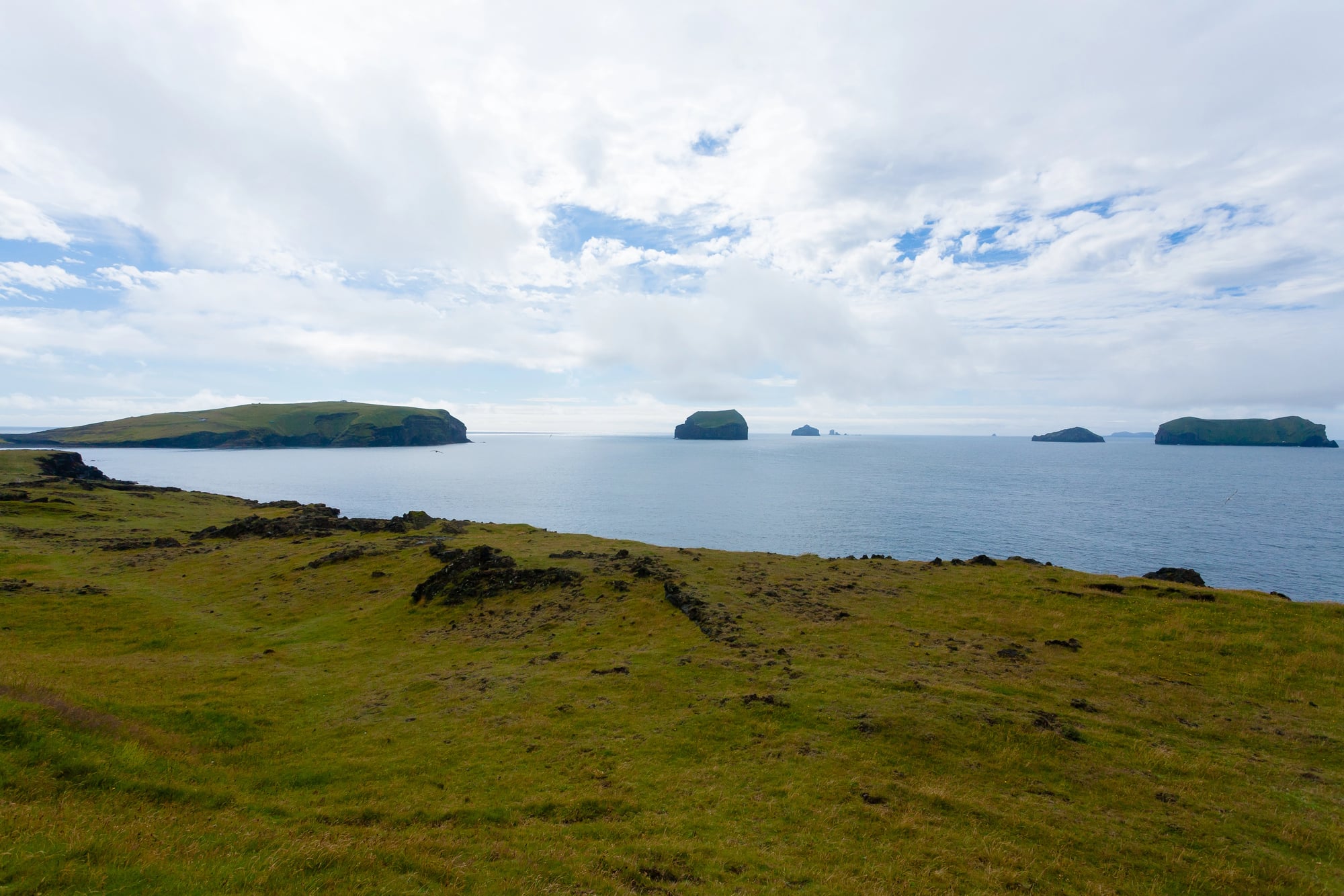
Surtsey didn’t exist on November 14, 1963. By the end of that day, it did — a new volcanic island rising from the North Atlantic off Iceland’s southern coast, born from a submarine eruption that broke the ocean’s surface and began building land from scratch.
Geologists arrived within days and watched a new ecosystem begin its first chapter. The island still exists, though erosion has reduced it considerably from its original area of roughly 1 square mile.
The 1920 Haiyuan Landslides
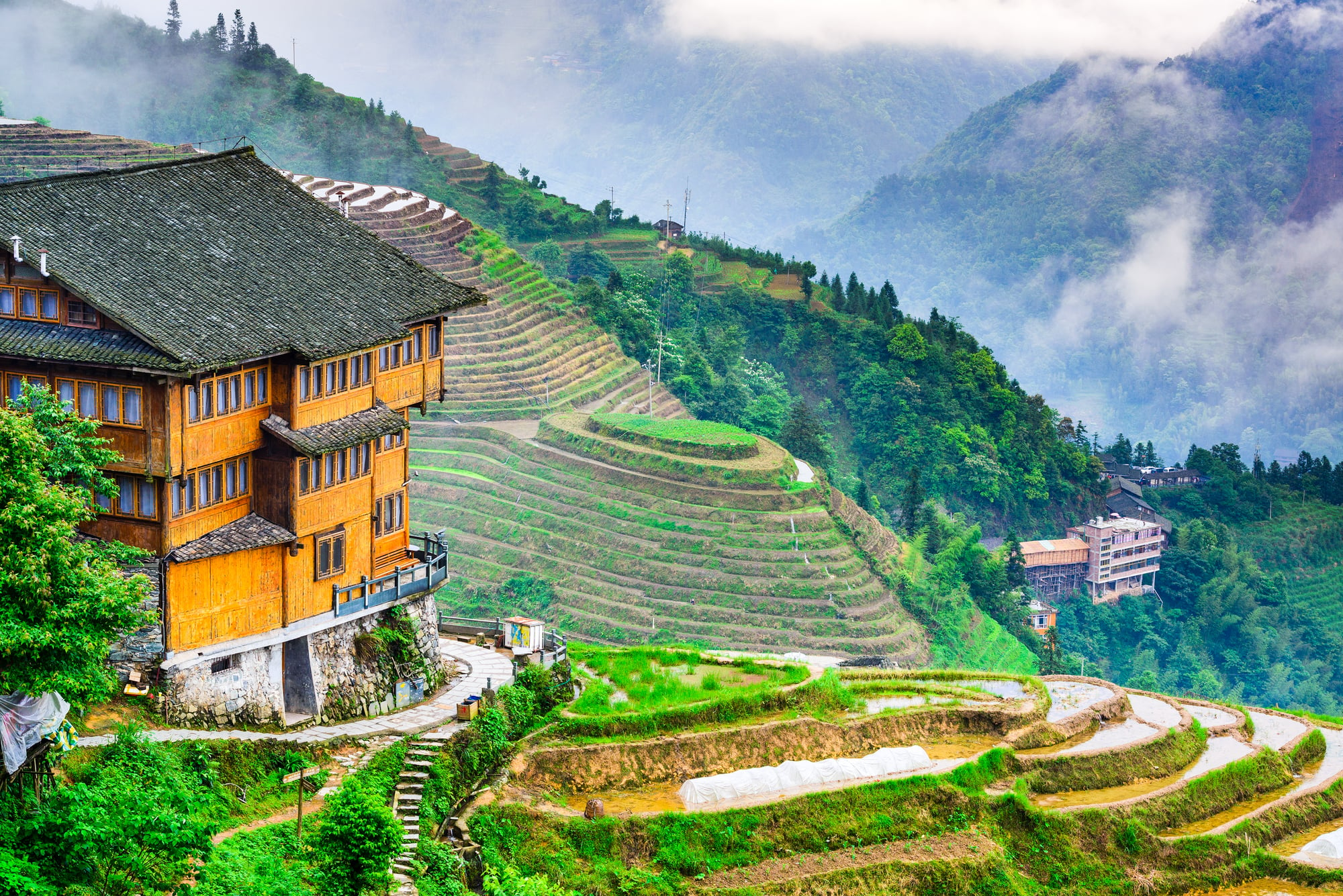
The Haiyuan earthquake of December 16, 1920, struck the loess plateau of northern China with a magnitude of 8.5, and the secondary destruction — the landslides — arguably reshaped more terrain than the fault rupture itself.
The region’s loess, a fine wind-deposited sediment that can be hundreds of feet thick, behaved like a collapsing structure, burying entire valleys and villages under material that moved like a slow, unstoppable pour. An estimated 200,000 people died, and the landscape the survivors woke up to bore little resemblance to the one they’d known.
The 1669 Mount Etna Eruption
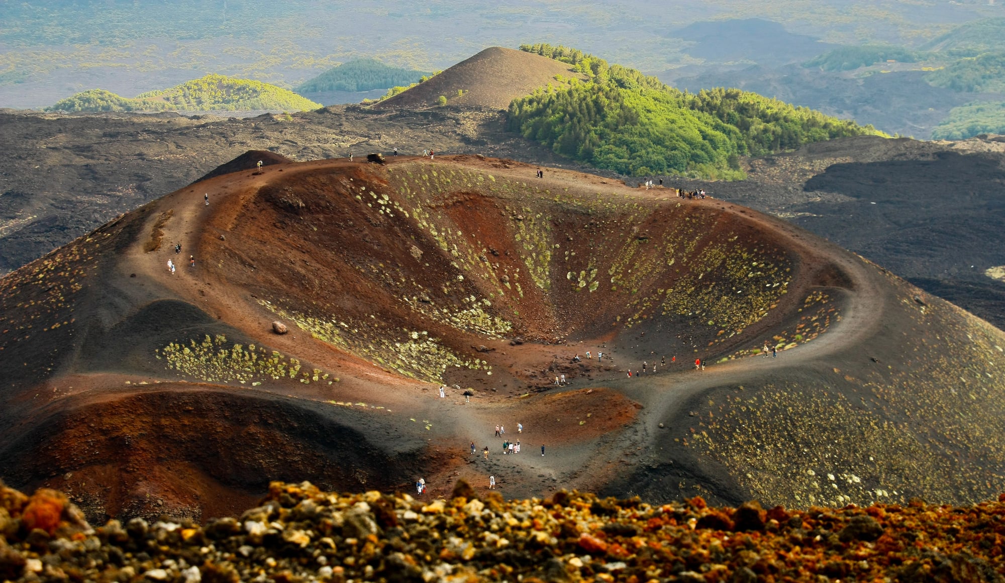
The 1669 eruption of Mount Etna is one of the most destructive in European history, and it played out with a kind of relentless, deliberate pace — lava flows that began on March 11 moved steadily toward the coast, consuming the city of Catania over days but establishing the eruption’s scale and direction within the first 24 hours.
By the time the flows reached the sea, they had extended Sicily’s coastline outward, adding new land to the island’s eastern edge. Catania was never quite the same city again.
The 2002 Nyiragongo Lava Flow
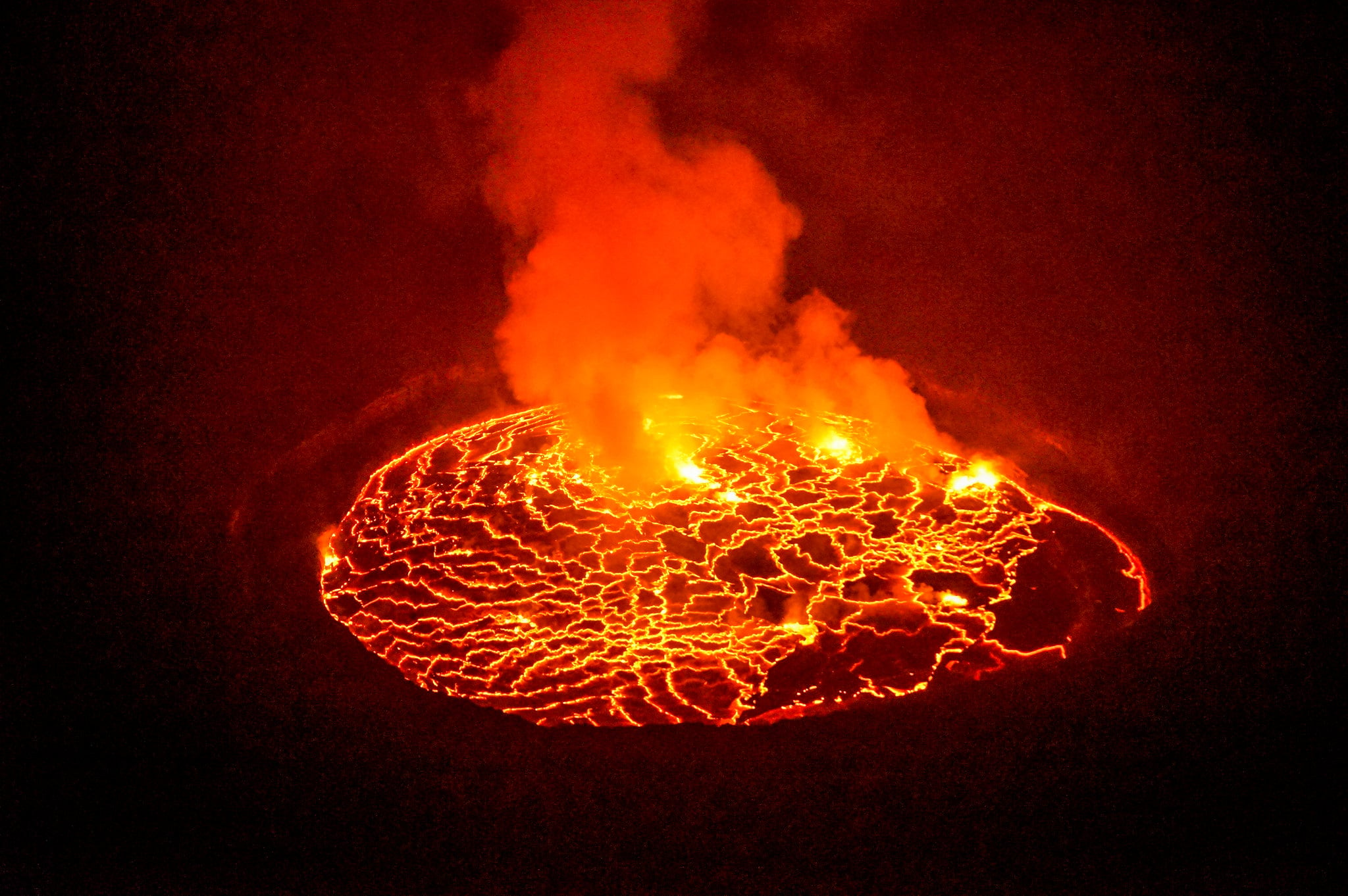
Nyiragongo in the Democratic Republic of Congo erupted on January 17, 2002, and lava reached the city of Goma within hours — moving through streets, covering the runway of the airport, and reaching Lake Kivu by the end of the day.
The flows were unusually fluid because of the volcano’s low-silica lava, capable of moving at speeds that outpaced walking, and the city that existed before that morning was fundamentally restructured by nightfall. Around 120,000 people were displaced.
The 1949 Khait Landslide
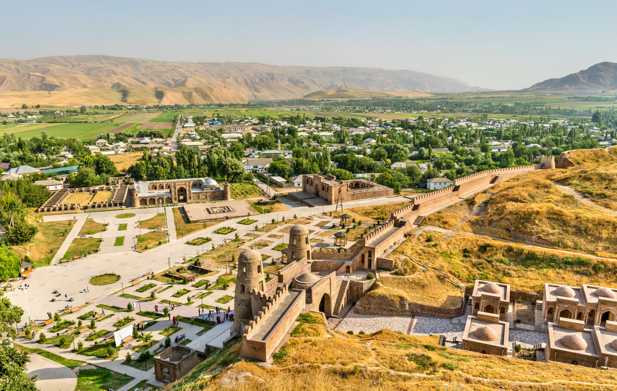
Khait, Tajikistan, on July 10, 1949: a combination of earthquake shaking and loess saturation produced one of the most destructive single landslides of the 20th century, burying the town and its surrounding villages under an estimated 245 million cubic yards of debris.
The landscape that had supported agricultural communities for generations was replaced by a rubble field several miles long. The event received little international attention because Tajikistan was then part of the Soviet Union.
The 1783 Calabrian Earthquakes
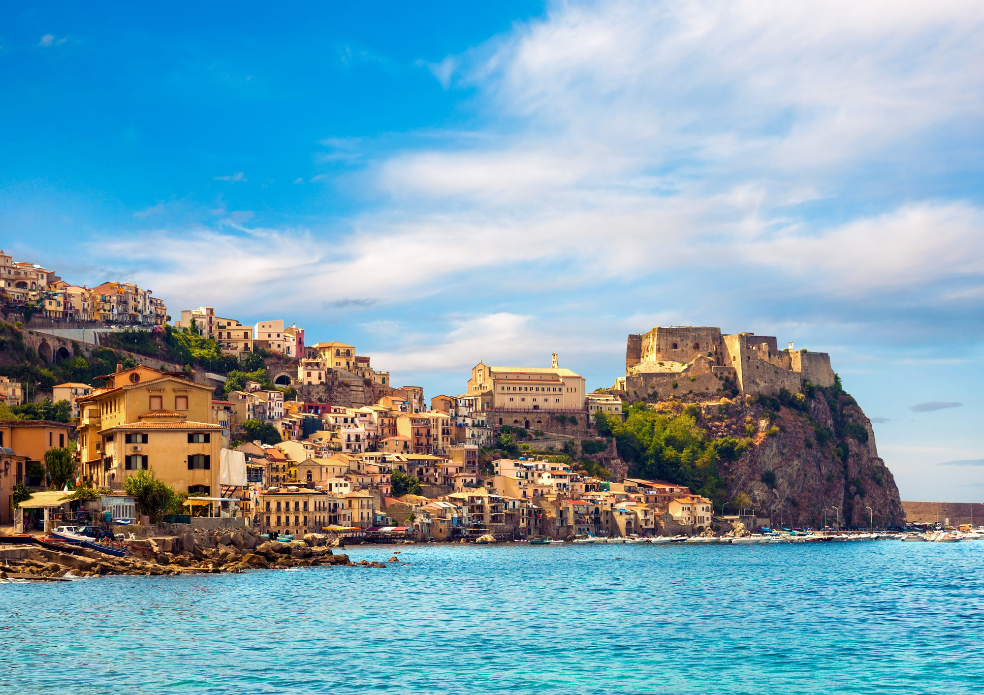
Southern Italy in 1783 experienced a sequence of devastating earthquakes beginning February 5, and the first event alone reshaped the physical geography of Calabria so thoroughly that contemporary observers described the landscape as unrecognizable.
Entire villages dropped into fissures or were swept into the sea by tsunamis, new lakes formed in collapsed valleys, and the coastline in several places shifted visibly. It’s the kind of event that corrects you about the permanence of the ground you’re standing on.
The 1953 Ionian Earthquake
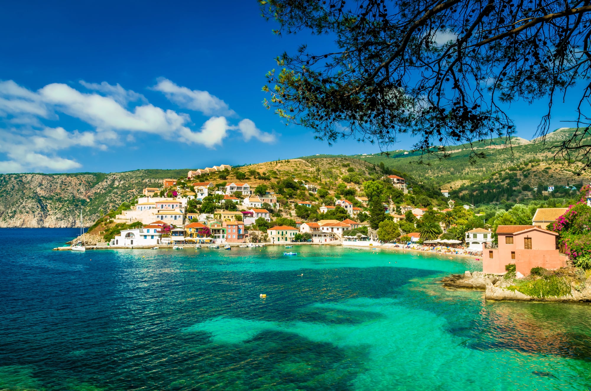
The 1953 Ionian earthquake (magnitude 7.2) struck the Greek islands of Kefalonia and Zakynthos on August 12 and caused land subsidence so pronounced that portions of the islands’ coastlines were effectively redrawn.
Buildings didn’t just collapse — the ground beneath them shifted laterally and vertically, changing the drainage patterns of entire hillsides. The reconstruction of Kefalonia essentially produced a new city on terrain that no longer matched the old maps.
The 1970 Ancash Earthquake and Huascarán Avalanche
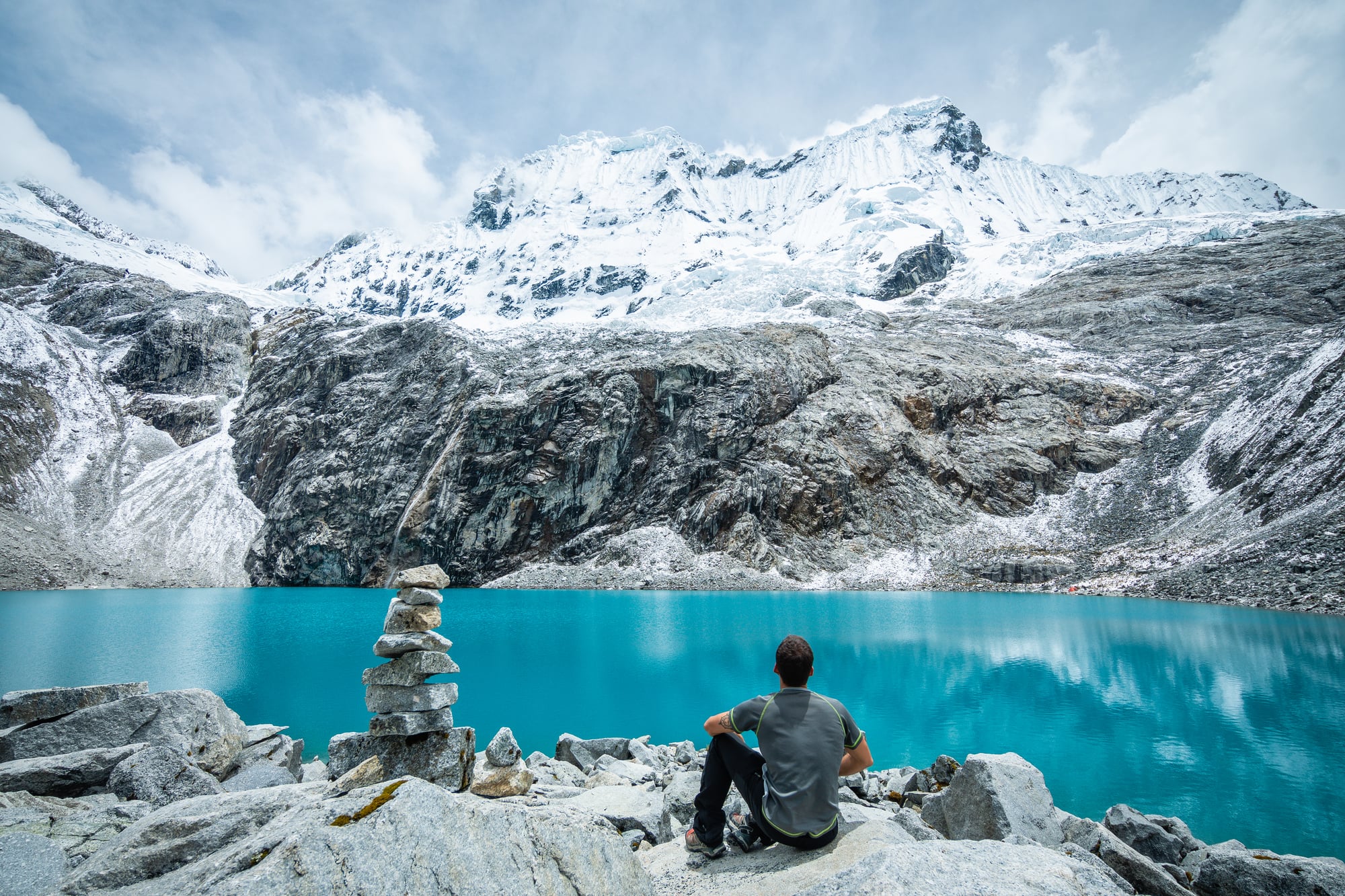
The Ancash earthquake of May 31, 1970 (magnitude 7.9), triggered what may be the deadliest mass movement in recorded history: an ice-and-rock avalanche from the west face of Huascarán, Peru’s highest peak, that traveled roughly 11 miles at speeds estimated between 100 and 280 miles per hour and buried the city of Yungay almost completely.
Around 20,000 people in Yungay died within minutes, and the avalanche deposit — hundreds of feet deep in places — created a new topography over what had been a populated valley.
The 1556 Shaanxi Earthquake
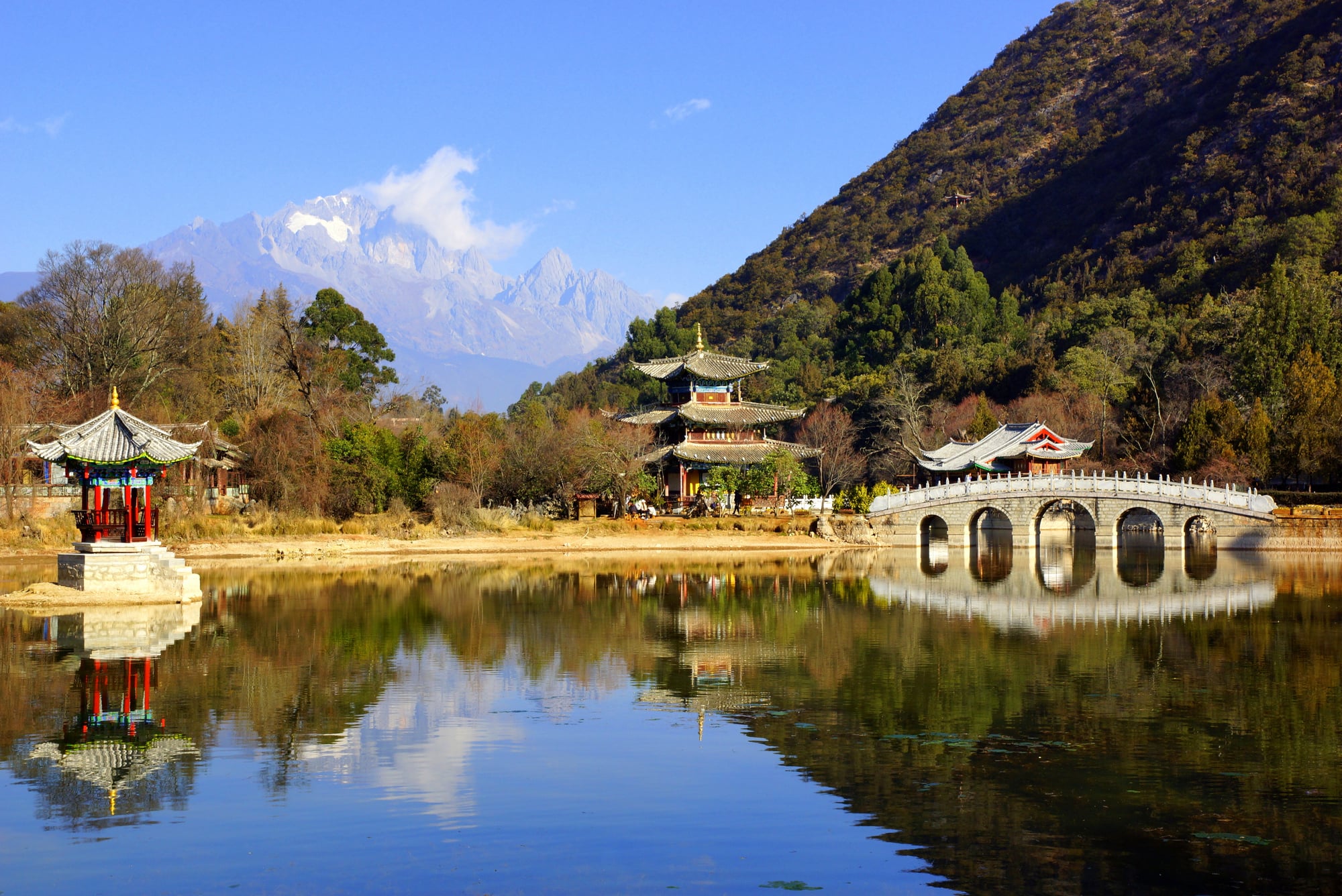
The deadliest earthquake in recorded history struck China’s Shaanxi province on January 23, 1556 — an event so destructive that contemporary Chinese accounts describe the ground opening, mountains collapsing, and rivers reversing, all in a single morning.
An estimated 830,000 people died, many of them in yaodong, cave dwellings carved into the loess cliffs that proved catastrophically fragile under seismic stress. The landscape of the Wei River valley was altered in ways that Chinese cartographers noted and documented for generations.
The 1980 Mammoth Lakes Earthquake Swarm
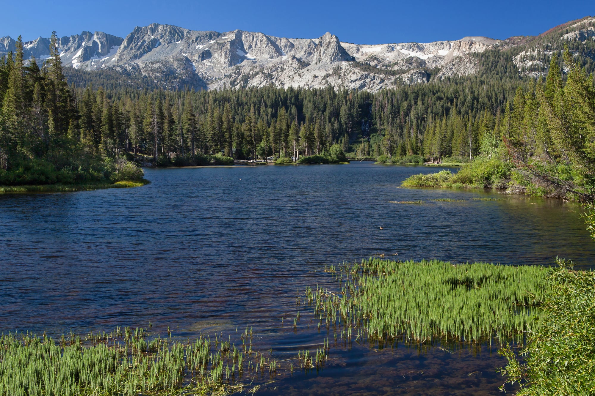
The Mammoth Lakes earthquake swarm of May 1980 produced four magnitude 6.0 or greater earthquakes within 48 hours and caused ground deformation across a wide area of the Long Valley Caldera in eastern California.
Fissures opened on the hillsides above town, some running for hundreds of feet, and the USGS issued a formal volcanic hazard notice — the first of its kind in U.S. history. The event reshaped not just the terrain but the entire conversation about volcanic risk in the American West.
The 1958 Hebgen Lake Earthquake and Landslide
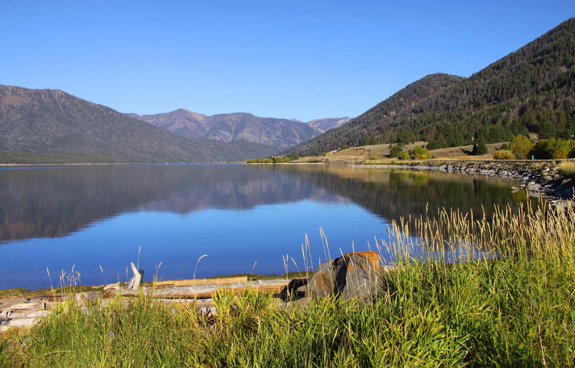
On August 17, 1958, a magnitude 7.3 earthquake near Yellowstone’s western boundary triggered a massive landslide at the Madison River canyon in Montana — 80 million tons of mountainside dropped into the gorge, killing 28 campers and completely blocking the Madison River within minutes.
The new lake that formed behind the debris dam was named Earthquake Lake (Quake Lake), and it still exists. The landslide scar on the canyon wall is still plainly visible from the road that runs along the lake’s edge.
When the Ground Decides
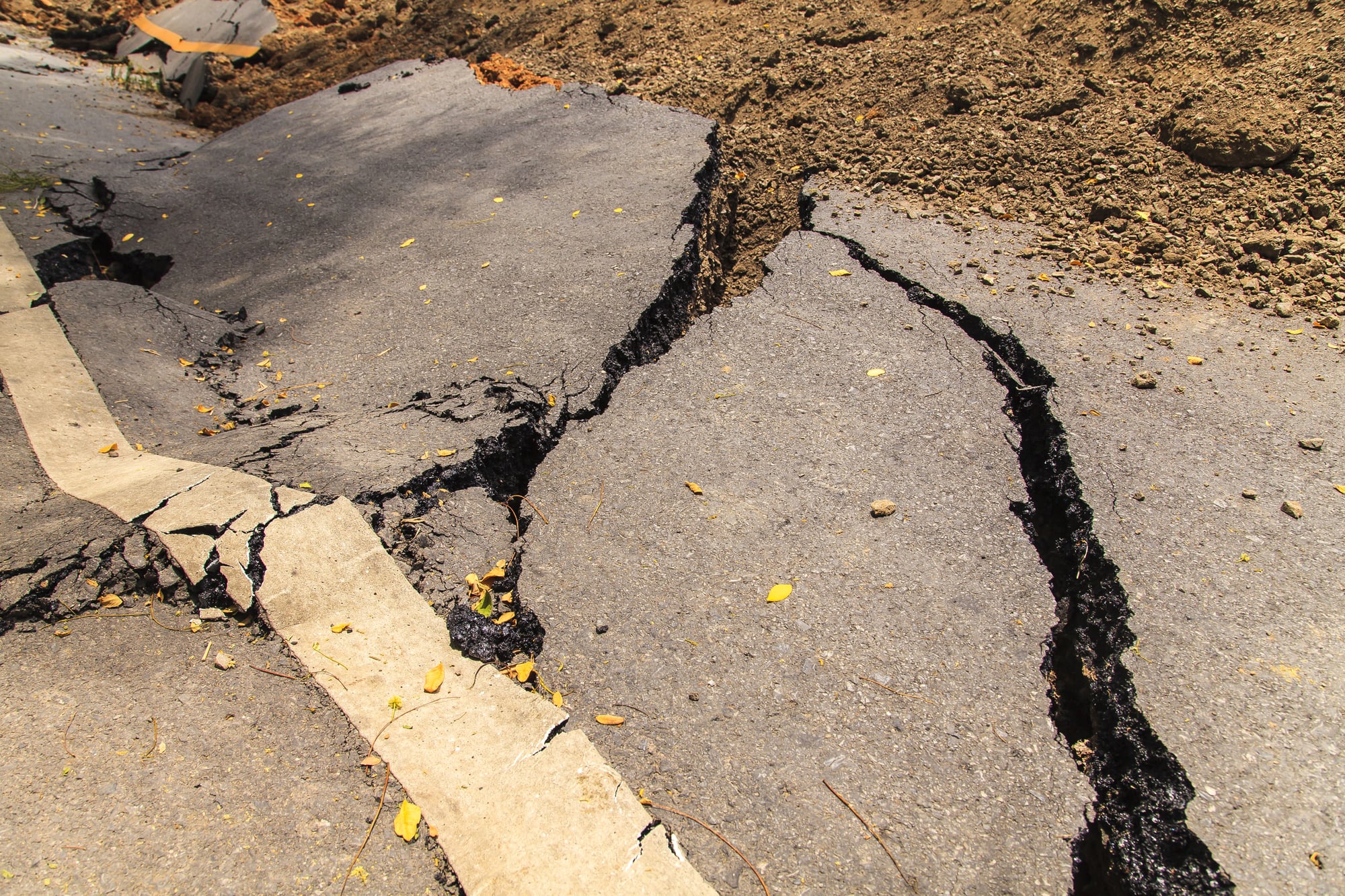
There’s something almost philosophical about these events — not in a comforting way, but in the way that a stone wall is philosophical when you walk into it.
The geological record isn’t a history of slow, patient change punctuated by occasional drama. It’s the opposite: long stretches of accumulating pressure, stress, and instability that resolve themselves in a single convulsive moment, usually without ceremony.
The regions that were reshaped in a day didn’t become less real, less livable, or less human because of what happened to them. People returned to Goma. They rebuilt Catania. They mapped Quake Lake and gave it a name and put it on road signs.
The Earth rearranges the furniture without asking, and the remarkable thing — the thing that actually says something about human stubbornness — is how consistently people rearrange it back.
More from Go2Tutors!

- The Romanov Crown Jewels and Their Tragic Fate
- 13 Historical Mysteries That Science Still Can’t Solve
- Famous Hoaxes That Fooled the World for Years
- 15 Child Stars with Tragic Adult Lives
- 16 Famous Jewelry Pieces in History
Like Go2Tutors’s content? Follow us on MSN.