Hidden Secrets Inside the World’s Oldest Surviving Maps
Old maps don’t just show where places are. They reveal what people believed about the world, what they feared, and what they desperately wanted to find.
These ancient charts, some dating back over 2,500 years, contain mysteries that cartographers, historians, and treasure hunters are still trying to decode. The lines and symbols etched into parchment and clay tablets tell stories that go far beyond geography — they’re windows into civilizations that saw the world in ways we can barely imagine.
The Babylonian World Map’s Three Mysterious Islands
The oldest known world map sits in the British Museum, a small clay tablet from ancient Babylon dating to around 600 BCE. Three triangular islands extend beyond the known world, marked with cuneiform text describing fantastical creatures and impossible journeys.
One island supposedly holds creatures “that have never seen light.”
Ptolemy’s Phantom Mountains
Claudius Ptolemy’s 2nd-century maps show the mysterious “Mountains of the Moon” as the source of the Nile River. These peaks appear on maps for over 1,500 years, guiding explorers into the African interior.
The mountains don’t exist — at least not where Ptolemy placed them — yet their imagined snow-capped ridges influenced real expeditions that cost real lives.
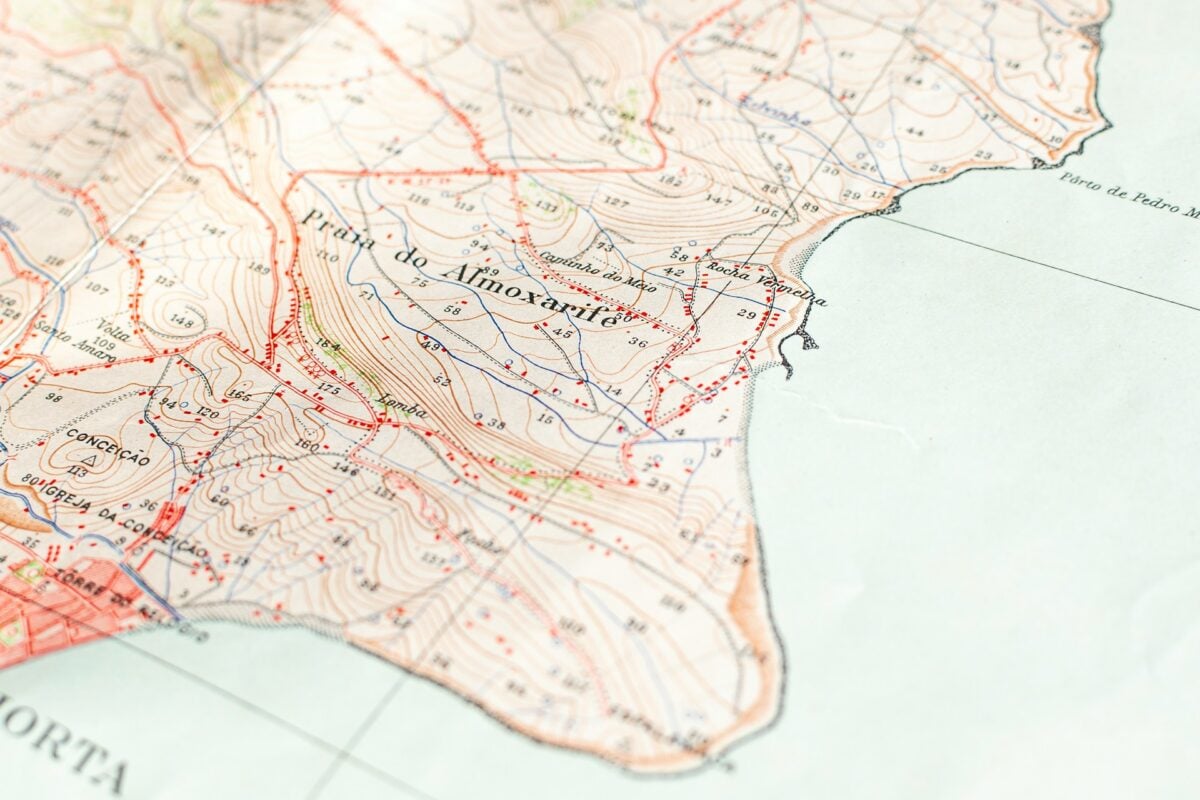
The Hereford Mappa Mundi’s Edge Dwellers
Medieval maps weren’t just geographical tools; they were theological statements wrapped in parchment and fear (the kind that made people sleep poorly, wondering what lived beyond the edges of creation). The 1300 Hereford map places Jerusalem at the center of the world, which makes sense if your worldview runs on scripture rather than surveying, but the truly unsettling details live in the margins where cartographers drew the Blemmyes — headless people with faces in their chests — and the Sciapods, who used their single enormous foot as a parasol.
And these weren’t decorative flourishes or artistic license; medieval travelers carried these maps as factual guides, genuinely expecting to encounter one-legged umbrella people if they wandered far enough from home. The edge of the world wasn’t empty space — it was populated by everything civilization couldn’t explain or control.
Al-Idrisi’s Upside-Down Masterpiece
The 12th-century Arab geographer Al-Idrisi created his world map with south at the top, a perspective that flips modern assumptions about how maps should orient themselves. Hidden within his silver planisphere are remarkably accurate coastlines of Africa and details about Scandinavian geography that European mapmakers wouldn’t discover for centuries.
The Vinland Map’s Vanishing Ink
This controversial map supposedly proves Vikings reached North America before Columbus. The ink contains titanium dioxide, a pigment not invented until the 1920s. Case closed — except radiocarbon dating suggests the parchment is genuinely medieval.
Someone either forged a map using 500-year-old paper or medieval scribes had access to 20th-century chemistry.
Chinese Star Charts in the Dunhuang Caves
Buried in a sealed cave for nearly 1,000 years, these Tang Dynasty maps don’t show land — they chart the heavens with precision that rivals modern astronomy. The star positions match observations that wouldn’t be rediscovered in Europe for centuries.
Hidden among the constellations are notes about “guest stars” that modern astronomers now recognize as supernova explosions.
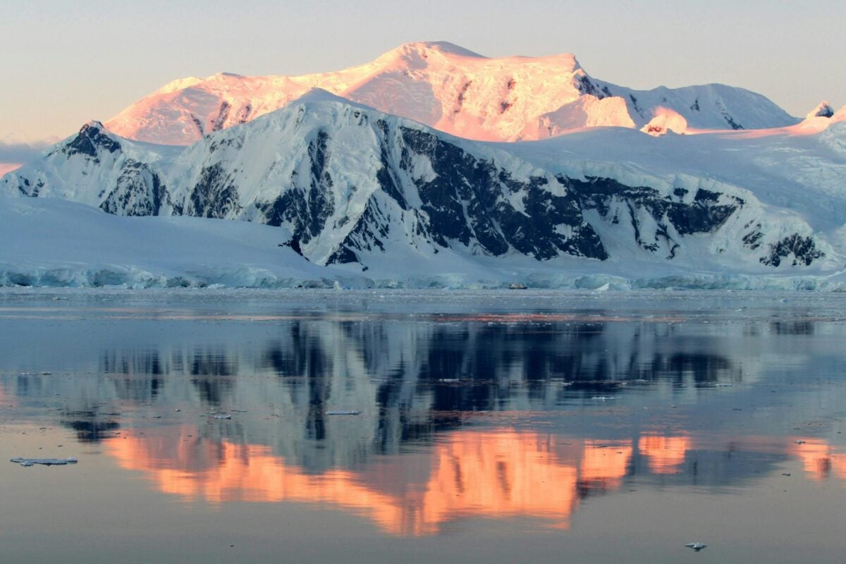
The Piri Reis Antarctica Problem
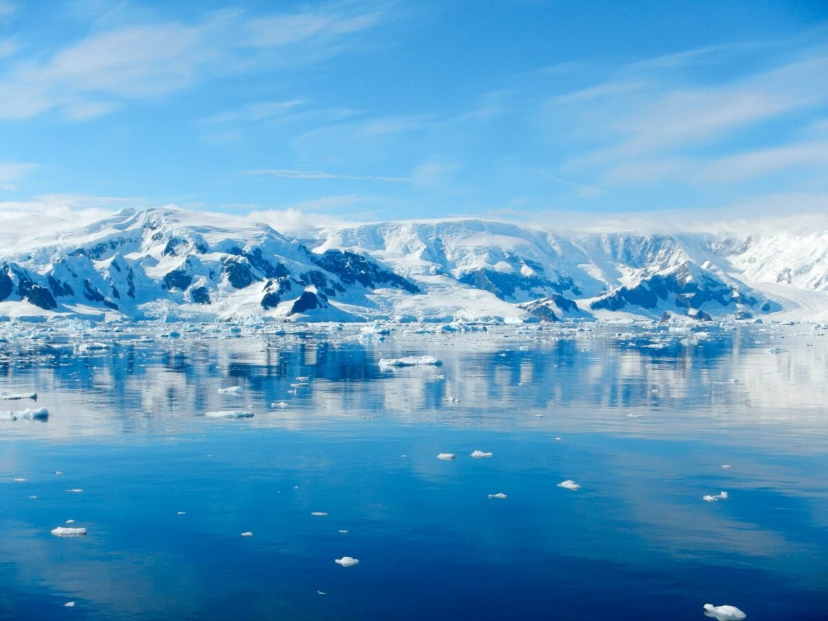
Turkish admiral Piri Reis created his 1513 world map using sources that have since vanished, and the result reads like a cartographic ghost story. The southern portion appears to show the coastline of Antarctica — not the ice sheet that covers it, but the actual rocky shoreline beneath, mapped with an accuracy that wouldn’t be achieved again until the 20th century when ground-penetrating radar finally revealed what lay under all that ice.
But here’s where the story gets genuinely strange: Antarctica wasn’t officially discovered until 1820, and the subglacial coastline wasn’t properly mapped until the 1950s, which means Piri Reis somehow drew something that wouldn’t be seen again for 450 years. So either he had access to source maps from a lost civilization, or he made the most educated guess in cartographic history.
Neither explanation sits comfortably.
The Zeno Brothers’ Phantom Islands

The 1380 Zeno map places two large islands — Frisland and Estotiland — in the North Atlantic where only open ocean exists. These fictional landmasses influenced navigation for 200 years.
Christopher Columbus may have adjusted his route based on their supposed locations, accidentally discovering America while sailing toward islands that were never there.
Secret Symbols in the Ebstorf Map

This 13th-century map was destroyed during World War II bombing, but photographs reveal strange symbols scattered across its surface. Some appear to be alchemical markers, others resemble early masonic emblems.
The map depicted Christ’s body as the world itself, with his head at the top and hands on the sides, but these smaller symbols suggest additional layers of meaning that died with their creators.
The Catalan Atlas’s African Gold Roads

This 1375 masterpiece shows detailed trade routes across the Sahara Desert, marking the location of gold mines with suspicious precision. The routes connect to symbols that don’t match any known medieval notation system.
Some historians believe the atlas contains encoded information about secret trading partnerships between European merchants and African kingdoms.
Antarctica appears larger than it actually is on the Oronteus Finaeus map
The 1531 Oronteus Finaeus map shows Antarctica as a massive continent with rivers, mountains, and coastal details. Antarctica wasn’t officially discovered until 289 years later.
The continent appears ice-free and roughly twice its actual size, suggesting the mapmaker had access to information from an unknown source — or an exceptionally creative imagination.
Buddhist Cosmology Hidden in Islamic Maps

Some Islamic world maps from the 9th and 10th centuries contain geometric patterns that align with Buddhist cosmological diagrams rather than Islamic ones. These maps were created in Baghdad during the height of the Abbasid Caliphate, when scholars translated texts from multiple cultures.
The hidden Buddhist elements might represent secret knowledge preserved by scholars who couldn’t openly acknowledge non-Islamic sources.
The Borgia World Map’s Papal Secrets
This map, commissioned by Pope Alexander VI around 1500, contains markings that correspond to secret papal negotiations over New World territories. Certain islands are marked with symbols that don’t appear in the map’s legend, and some coastlines are deliberately distorted in ways that match confidential treaties between Spain and Portugal.
The map served as both navigation tool and diplomatic document.
Indigenous Knowledge in European Arctic Maps
Early European maps of the Arctic contain details about ice movements and seasonal patterns that couldn’t have been observed during brief summer expeditions. The information matches traditional Inuit knowledge passed down through oral tradition.
These maps reveal that European cartographers relied heavily on indigenous sources while rarely acknowledging their contributions in the official records.
Where the Edges End

Ancient mapmakers understood something modern GPS has made us forget: every map is a bet against the unknown. They drew their certainties in solid lines and filled the gaps with educated guesses, borrowed stories, and sometimes pure invention.
The secrets hidden in these old charts aren’t just geographical errors or primitive science — they’re records of human curiosity pushing against the boundaries of what could be known. Each phantom island and misplaced mountain range represents someone willing to draw the world as they imagined it might be, rather than leaving it blank.
That courage to map the unmappable, even incorrectly, led to discoveries that no amount of careful accuracy could have achieved.
More from Go2Tutors!

- The Romanov Crown Jewels and Their Tragic Fate
- 13 Historical Mysteries That Science Still Can’t Solve
- Famous Hoaxes That Fooled the World for Years
- 15 Child Stars with Tragic Adult Lives
- 16 Famous Jewelry Pieces in History
Like Go2Tutors’s content? Follow us on MSN.