Maps That Were Deliberately Drawn Wrong to Protect Military Secrets
When you think about maps, accuracy probably comes to mind first. After all, the whole point is to show you where things actually are, right? But throughout history, some of the most important maps were deliberately riddled with errors, fake islands, and nonexistent roads.
These weren’t mistakes or sloppy cartography—they were carefully crafted lies designed to protect national security, military installations, and strategic advantages. The practice of intentional cartographic deception became an art form during wartime, with governments going to extraordinary lengths to mislead potential enemies while keeping their own forces properly informed.
Soviet Union Topographic Deception
The Soviet Union mastered the art of cartographic misdirection on an almost unimaginable scale. Every map produced for public use was systematically altered, with cities moved miles from their actual locations, rivers rerouted on paper, and entire mountain ranges shifted.
The deception was so thorough that even Soviet citizens couldn’t navigate their own country using official maps, which created an odd situation where locals relied on word-of-mouth directions while tourists fumbled around completely lost.
British Ordnance Survey Omissions
British mapmakers during both world wars simply erased sensitive locations from existence. Military bases, ammunition depots, and radar stations vanished from Ordnance Survey maps as if they’d never been built (though the roads leading to empty fields often gave away their presence).
The practice became so routine that map readers learned to spot classified installations by looking for inexplicable gaps in otherwise detailed countryside surveys.
German U-Boat Chart Falsification
Nazi Germany distributed fake nautical charts to neutral countries, showing imaginary minefields and non-existent submarine patrol areas throughout the North Sea and Atlantic. These charts served a dual purpose: they kept Allied shipping away from certain routes while simultaneously concealing the actual patterns of German U-boat operations.
And yet the deception sometimes backfired when German vessels, operating with correct charts, encountered genuinely confused neutral ships in supposedly “safe” waters that were actually mined.
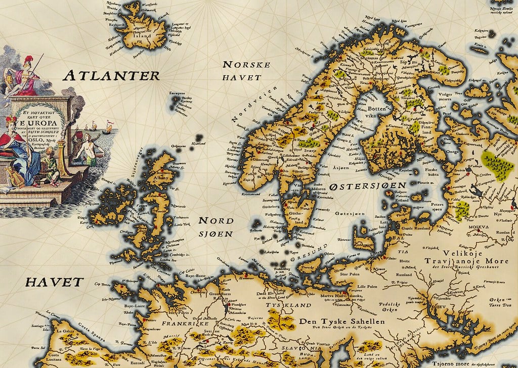
Cold War Arctic Maps
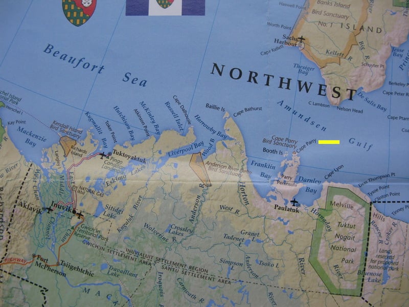
Both American and Soviet cartographers turned the Arctic Ocean into a playground of geographical fiction. Islands appeared and disappeared depending on which side drew the map, with some phantom landmasses persisting in official documents for decades after satellite imagery proved they never existed.
The deception mattered because Arctic geography determined submarine routes, missile trajectories, and territorial claims—making an accurate understanding of ice flows and sea depths worth more than gold during the nuclear standoff.
Chinese Military Survey Alterations
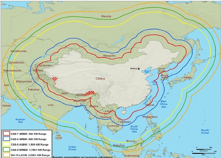
China maintains one of the world’s most extensive map falsification programs, with every commercially available map containing deliberate errors that shift the locations of military facilities, government buildings, and strategic infrastructure. The alterations follow complex mathematical formulas that ensure civilian GPS devices and foreign intelligence services can’t easily reverse-engineer the true positions (though the advent of satellite imagery has made this practice somewhat quaint).
Even today, international tech companies must use officially altered Chinese maps in their applications, creating a parallel cartographic universe for the world’s most populous country.
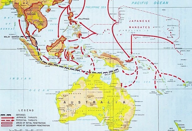
Japanese Pacific Theater Deceptions
During World War II, Japanese naval charts distributed to merchant vessels contained fictional reefs, imaginary shallow waters, and non-existent islands designed to funnel Allied submarines into areas where they could be more easily detected and attacked. The strategy worked better than expected, with several American submarines running aground on actual reefs while trying to navigate around fake ones.
So much false information circulated that post-war chart corrections took nearly a decade to complete.
French Resistance Route Maps
The French Resistance created elaborate networks of false maps showing non-existent safe houses, fictional escape routes, and imaginary German checkpoints. These maps were deliberately leaked to German intelligence, sending Nazi forces on wild goose chases through the French countryside while actual resistance operations proceeded along completely different paths. The psychological effect proved as valuable as the tactical advantage—German commanders lost confidence in their intelligence gathering when maps consistently led them to empty barns and abandoned villages.
American Manhattan Project Geography
Maps of Los Alamos and other Manhattan Project sites were altered so extensively that workers often couldn’t find their way between buildings using official base maps. Roads curved in directions that defied the actual landscape, building numbers followed no logical sequence, and entire sections of the facility were omitted entirely (leaving workers to navigate by landmark and memory).
The security protocol created genuine safety hazards during emergencies, but it also meant that even captured documents revealed nothing useful about the site’s true layout.
Swiss Alpine Fortress Maps
Switzerland distributed tourist maps throughout World War II that showed mountain passes as impassable when they were actually fortified with hidden artillery positions and underground bunkers. The deception extended to hiking guidebooks and skiing maps, all of which steered visitors away from areas where they might accidentally discover that Switzerland’s famous neutrality came with some very large teeth.
Hikers sometimes stumbled across fake avalanche warnings posted at the entrances to valleys that concealed major military installations.
Finnish Winter War Cartography
Finland’s defense against Soviet invasion relied heavily on maps that showed forests where lakes actually existed and lakes where forests grew. Soviet forces found themselves skiing across terrain that bore no resemblance to their charts, while Finnish troops used accurate local knowledge to conduct ambushes and retreats that seemed to defy geography itself.
The snow cover made visual confirmation nearly impossible, turning cartographic deception into Finland’s most effective winter weapon.
Australian WWII Coastal Charts
Australian naval charts during World War II moved harbors several miles from their actual positions and created fictional reef systems along the coast to confuse potential Japanese landing forces. The alterations were so convincing that some Allied vessels—operating without access to the correct charts—ran into genuine navigational trouble when their instruments contradicted what they thought they knew about Australian waters.
Harbor pilots made good money guiding confused military vessels through approaches that existed nowhere on the official maps.
Norwegian Fjord Deceptions
German-occupied Norway produced maps showing fjords as dead ends when they actually connected to hidden submarine bases carved into coastal mountains. The charts also reversed the depths of various channels, showing deep water where submarines would run aground and shallow areas where they could actually navigate safely.
Norwegian resistance fighters contributed to the deception by posting false tide tables and depth soundings that sent German patrol boats into areas where they’d be sitting ducks for Allied aircraft.
Polish Underground Railroad Maps
Before and during World War II, Polish intelligence created false railway maps showing non-existent branch lines and fictional junction points designed to confuse German logistics planning. The maps were subtle enough to pass casual inspection but contained enough errors to derail (sometimes literally) German supply operations that relied on captured Polish transportation documents.
Real trains ran on schedules and routes that existed only in the memories of Polish railway workers who’d memorized the true network.
Korean DMZ Survey Modifications
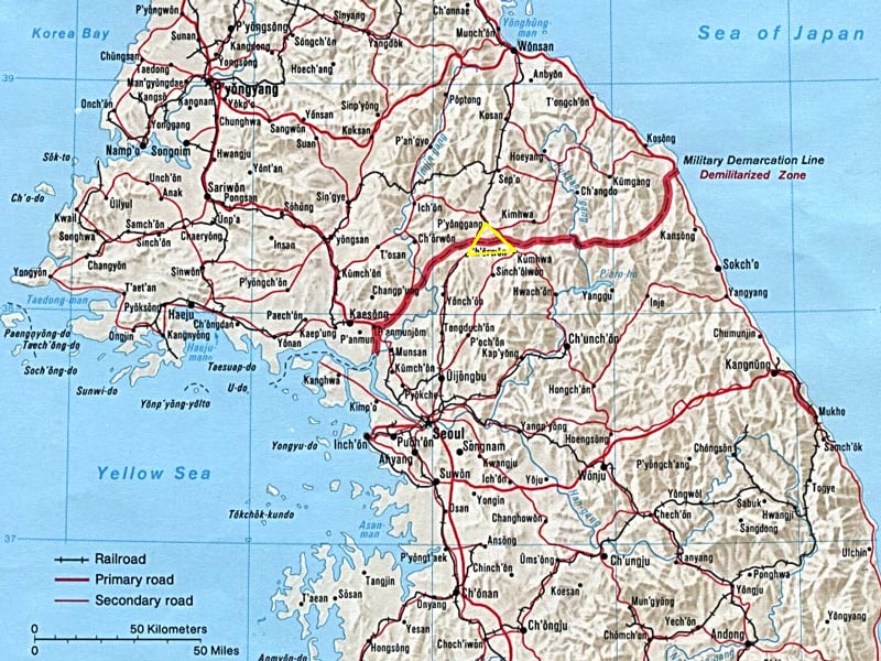
Maps of the Korean Demilitarized Zone contain deliberate errors on both sides of the border, with North and South Korean cartographers moving observation posts, bunker systems, and patrol routes from their actual positions. The practice continues today, ensuring that even detailed military maps provide incomplete pictures of one of the world’s most heavily fortified borders.
Satellite imagery has reduced the effectiveness of these alterations, but underground facilities and camouflaged positions still benefit from cartographic misdirection.
Middle Eastern Oil Field Charts
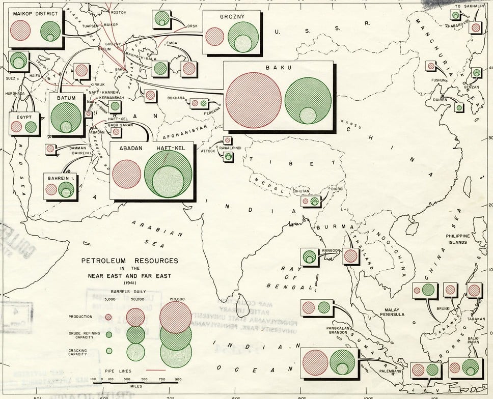
During various Middle Eastern conflicts, oil companies and governments collaborated to produce geological survey maps that showed productive oil fields as depleted and placed fictional drilling sites in areas with no petroleum reserves. These maps were distributed to foreign intelligence services and potential investors, creating a fog of confusion around actual energy resources that persisted for years after conflicts ended.
The deception sometimes worked too well, with legitimate exploration companies avoiding areas that actually contained significant oil deposits.
The Enduring Art of Cartographic Lies
These deliberately wrong maps remind us that information itself can be weaponized, and that sometimes the most powerful defense comes from controlling what your enemies think they know. The practice continues today in more subtle forms—GPS coordinates shifted by a few meters here, satellite imagery with strategic blurring there, digital maps that omit certain roads entirely.
In an age where accurate navigation feels like a basic right, it’s worth remembering that someone, somewhere, is still drawing maps designed to get you completely lost.
More from Go2Tutors!

- The Romanov Crown Jewels and Their Tragic Fate
- 13 Historical Mysteries That Science Still Can’t Solve
- Famous Hoaxes That Fooled the World for Years
- 15 Child Stars with Tragic Adult Lives
- 16 Famous Jewelry Pieces in History
Like Go2Tutors’s content? Follow us on MSN.