Most Dangerous Hiking Trails in the United States
The mountains don’t care about your hiking boots or your GPS watch. They don’t care about your trail app or how many miles you logged last weekend.
Some places in America will test every decision you’ve ever made about risk, preparation, and whether you really know the difference between adventure and recklessness. These trails have claimed lives, turned experienced hikers around, and earned reputations that make seasoned outdoors enthusiasts pause before lacing up their boots.
Angels Landing
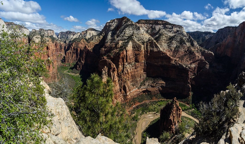
The chain section doesn’t mess around. Five hundred feet of sheer drop on both sides, a narrow sandstone ridge, and the only thing between you and empty air is a chain bolted into the rock.
Zion’s most famous hike has killed at least thirteen people since 2000. The approach lures you into false confidence.
Walter’s Wiggles feels challenging but manageable. Scout Lookout offers stunning views and a reasonable place to turn around.
Then you see the final half-mile.
Mount Washington
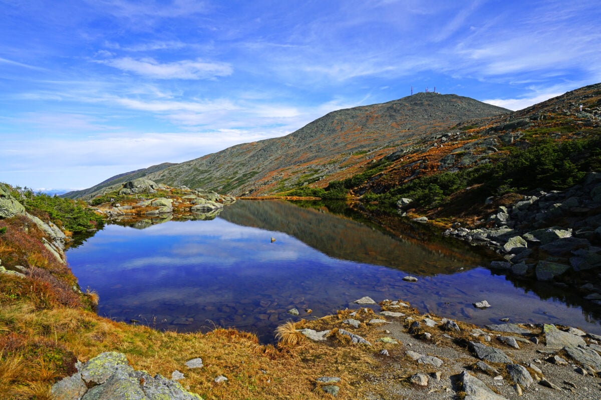
New Hampshire’s presidential peak has weather that shifts from pleasant to deadly in twenty minutes. The mountain generates its own storms, creates wind speeds that have broken anemometers, and maintains an alpine environment despite sitting at only 6,288 feet.
More than 160 people have died on its slopes. So you think you’re prepared because the forecast looked decent at the base (and maybe it was decent when you started the climb, which is exactly the kind of thinking that gets people into serious trouble up there).
But Mount Washington exists in its own meteorological universe — a place where the combination of latitude, elevation, and geographic position creates something that feels less like hiking and more like entering a wind tunnel filled with rapidly changing atmospheric conditions. Mount Washington recorded a surface wind speed of 231 mph on April 12, 1934, which held the world record for many decades.
However, Barrow Island, Australia recorded 253 mph during Cyclone Olivia in 1996, making that the current world record. Even summer can bring snow, ice, and hypothermic conditions without warning.
Half Dome Cables
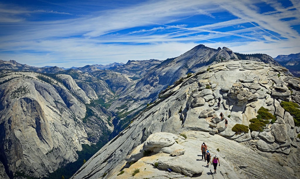
Yosemite’s granite giant demands everything from your grip strength. The final 400 feet climb a steep rock face using steel cables, with wooden planks spaced far enough apart that your legs will burn and your hands will cramp.
When the granite gets wet, it becomes as slippery as ice. The permit system exists for good reason.
Too many people on those cables creates a dangerous backup, with tired hikers clinging to wet metal while others try to pass. The round trip covers 16 miles with 4,800 feet of elevation gain, so most people reach the cables already exhausted.
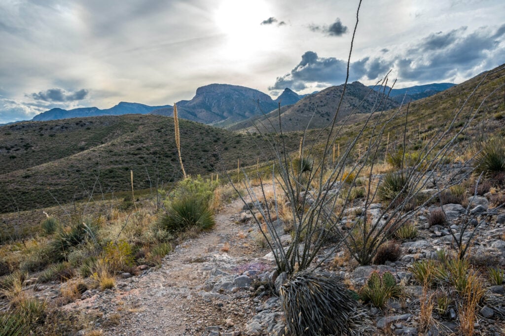
The Maze
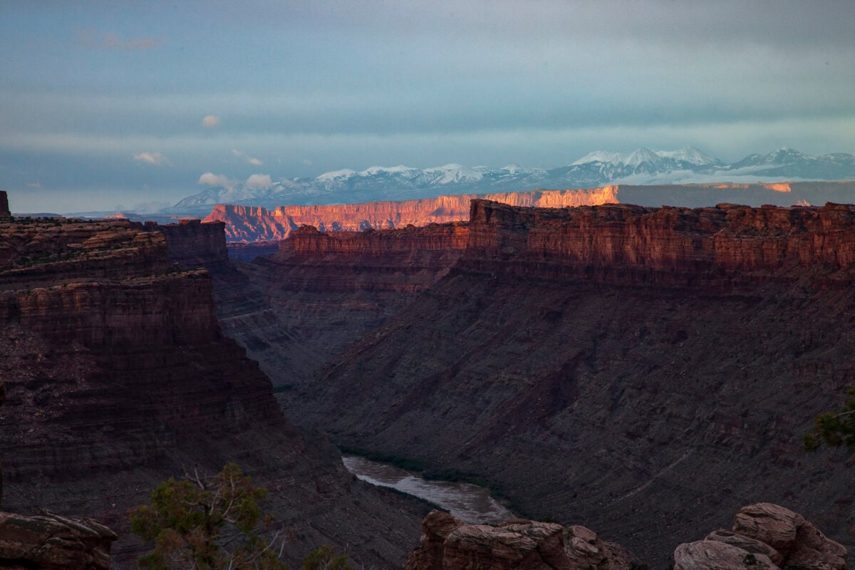
This section of Canyonlands National Park doesn’t just get you lost. It swallows people.
The rock formations create a labyrinth where GPS signals weaken, cell service disappears, and every canyon looks identical. Rangers require a detailed itinerary because search and rescue operations can take days to organize across this remote terrain.
Water sources are nonexistent. Summer temperatures exceed 100 degrees regularly.
The nearest help is hours away even if rescuers know exactly where to find you.
Bright Angel Trail to Phantom Ranch
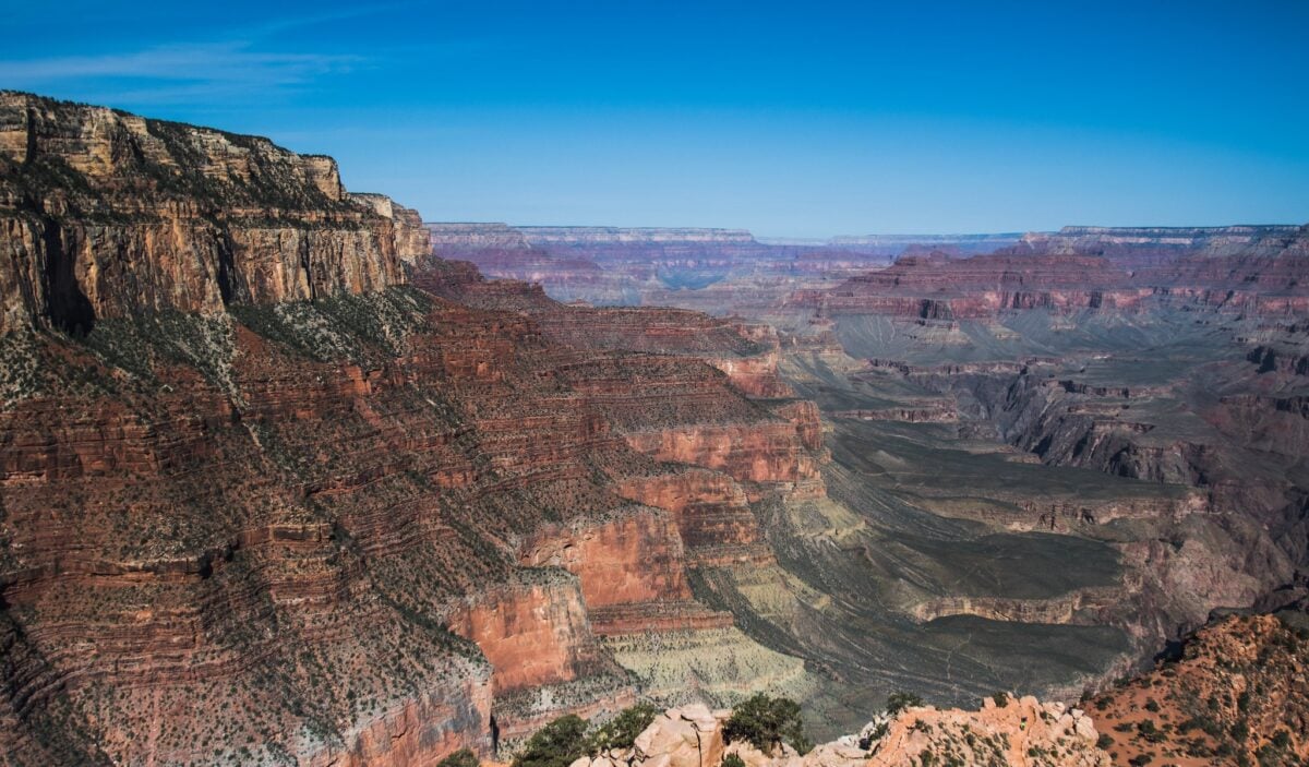
The Grand Canyon’s most popular trail kills more hikers than any other route in the park system, and it’s not because the trail is technically difficult — it’s because the canyon has a way of making the impossible seem reasonable until you’re halfway down and realize that every step you’ve taken is a step you’ll have to take again, except this time uphill, in heat that radiates off the rock walls like an oven, with water supplies that seemed adequate when you started but feel suddenly insufficient when you’re looking up at a vertical mile of switchbacks. The descent feels easy, almost meditative, which creates a dangerous psychological trap: gravity does most of the work going down, but gravity becomes your enemy on the way back up, and the temperature differential between the rim and the river can be 30 degrees or more.
And yet people attempt this hike every day wearing flip-flops, carrying a single water bottle, convinced that if they can walk down, they can walk back up.
Katahdin’s Knife Edge
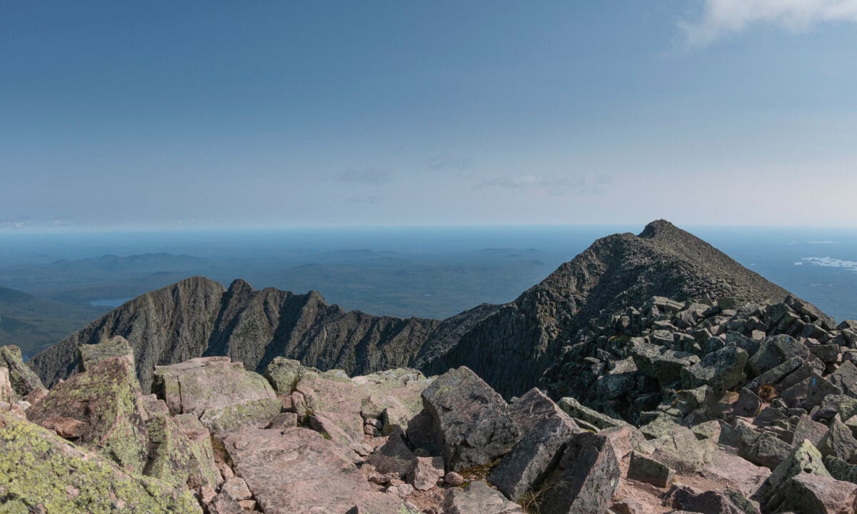
Maine’s tallest peak saves its most dangerous section for the end. The Knife Edge is exactly what it sounds like: a narrow ridge of granite with thousand-foot drops on both sides.
Weather conditions change rapidly above treeline, and there’s no shelter once you commit to the traverse. Strong winds can literally knock you off the ridge.
Lightning strikes are common during afternoon thunderstorms, and the exposed granite offers no protection. Hypothermia remains a risk even in summer months due to wind chill and sudden temperature drops.
Capitol Peak
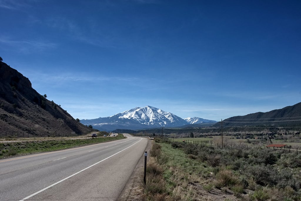
Colorado’s 14ers attract climbers from around the world, but Capitol Peak stands apart for its technical difficulty and objective hazards. The Knife Edge ridge requires actual rock climbing skills, not just hiking endurance.
Loose rock, narrow ledges, and high altitude create a combination that has proven fatal for dozens of climbers. The approach itself covers 17 miles round trip with over 5,000 feet of elevation gain.
Most climbers start before dawn to avoid afternoon thunderstorms, which means navigating technical terrain in darkness on the return trip.
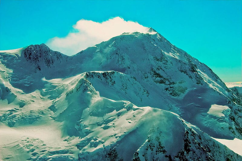
Mount Rainier
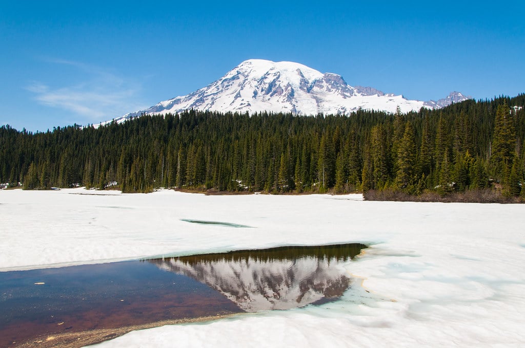
The mountain’s glaciers hide crevasses deep enough to swallow a house, and the weather can trap climbers for days without warning — this is a peak that creates its own climate systems, where storms blow in from the Pacific and collide with continental air masses to produce conditions that would make seasoned Himalayan climbers think twice about continuing. Snow falls year-round above 10,000 feet, avalanche danger remains high throughout most climbing seasons, and altitude sickness becomes a factor as you approach the 14,411-foot summit.
But it’s the glacial terrain that makes Rainier particularly unforgiving: the ice moves constantly, opening new crevasses and closing others, which means that route conditions change daily and yesterday’s safe passage might be today’s death trap. Rope teams have disappeared entirely into hidden cracks in the ice.
The Narrows
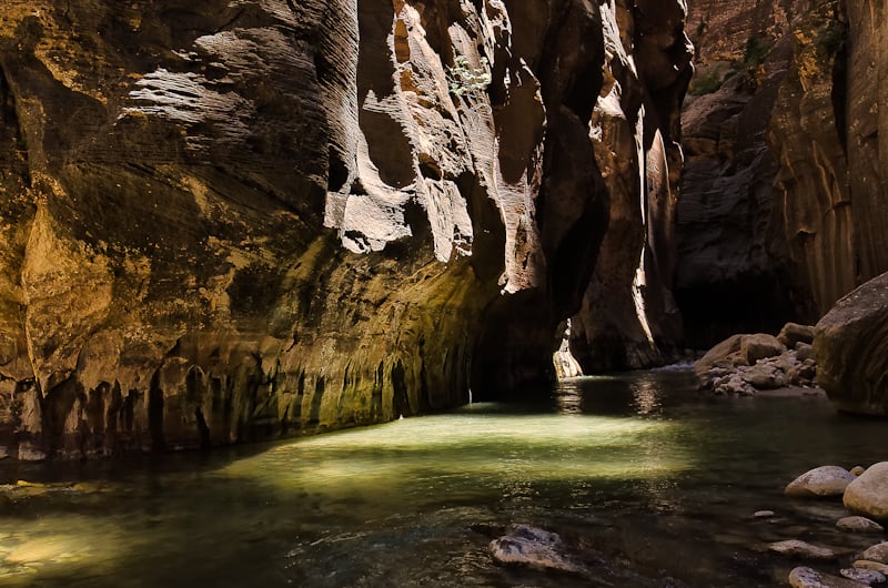
Zion’s slot canyon creates a unique set of dangers that most hikers never consider until they’re waist-deep in the Virgin River with canyon walls towering hundreds of feet above. Flash flood risk makes this hike potentially lethal even when there’s no rain in the immediate area — storms 20 miles upstream can send a wall of water through the narrow canyon faster than anyone can escape.
The Park Service monitors weather conditions constantly and closes the hike when flood risk increases. Cold water saps body heat quickly.
The river runs year-round at temperatures that can cause hypothermia, and much of the hike requires wading through knee-deep or deeper water. Footing is treacherous on slick rocks, and twisted ankles or falls become serious problems when you’re miles from the trailhead.
Denali West Buttress
Alaska’s tallest mountain attracts climbers who underestimate how different 20,320 feet feels at this latitude. The combination of extreme altitude, severe weather, and remote location creates conditions where small mistakes become fatal quickly.
Temperatures can drop to -40°F, and storms can last for weeks. Crevasse falls kill climbers regularly on the lower glaciers.
Above 14,000 feet, altitude sickness becomes a serious concern, and there’s no quick descent to lower elevation. Medical evacuation requires favorable weather conditions that may not exist for days or weeks.
Longs Peak Keyhole Route
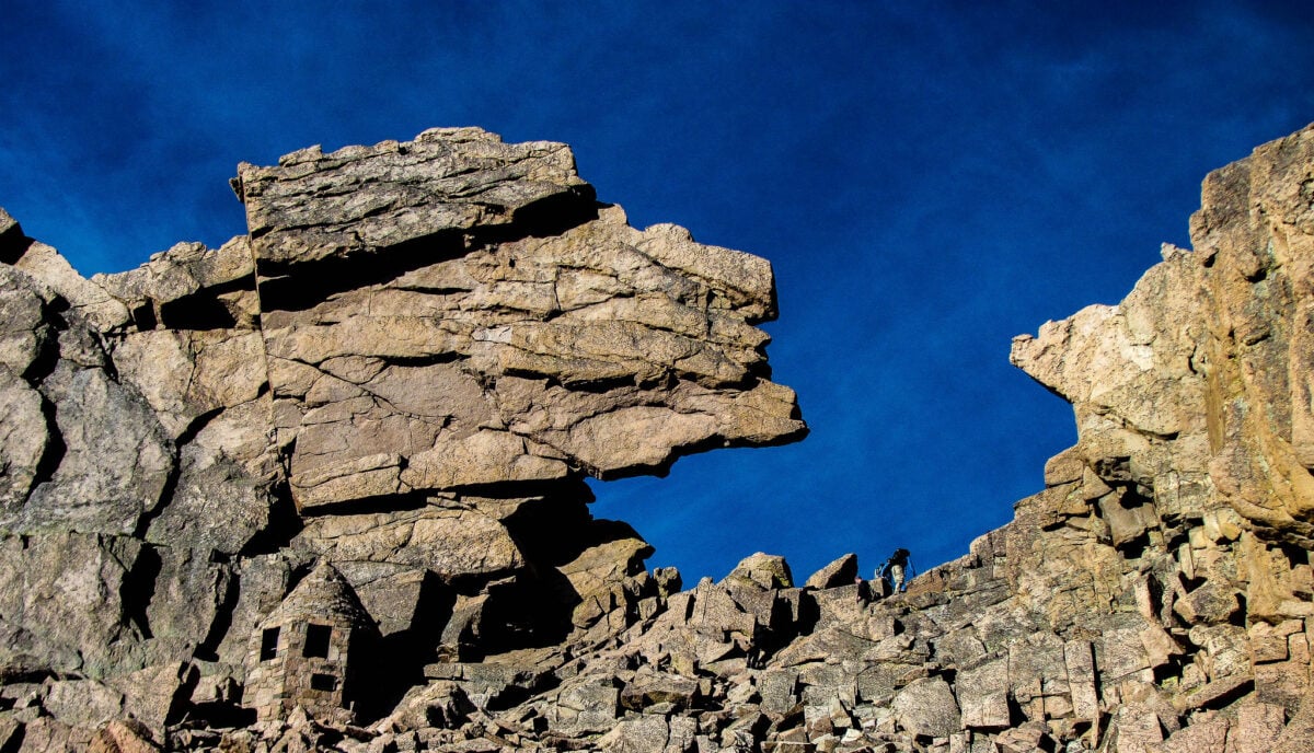
Colorado’s northernmost 14er demands an early start and perfect timing, but the mountain has a way of turning ideal conditions into survival situations without warning — summer afternoons bring lightning storms that can trap climbers above treeline, where the only shelter is whatever you can find behind boulders that offer minimal protection from electrical activity that seems to dance across the granite peaks with a frequency that makes experienced climbers genuinely nervous about being anywhere near the summit after noon. The Keyhole itself is a distinctive rock formation that gives climbers access to the final scramble, but beyond this point the route becomes a technical rock climb disguised as a hiking trail, with painted bullseyes marking a path across ledges where handholds are scarce and the consequences of a slip are measured in hundreds of feet.
The approach covers 15 miles round trip with 5,000 feet of elevation gain, which means most people reach the technical sections already fatigued.
Mount Whitney Trail
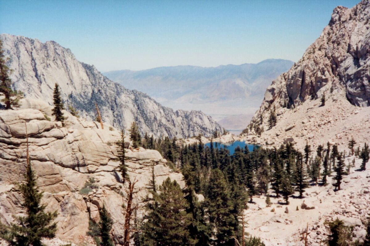
California’s highest peak presents dangers that sneak up on unprepared hikers. The 22-mile round trip with 6,100 feet of elevation gain pushes physical limits, while the altitude affects decision-making abilities.
Above 12,000 feet, even experienced hikers can develop altitude sickness severe enough to require immediate descent. Weather changes rapidly above the treeline.
Summer snow squalls can create whiteout conditions, and lightning strikes are common during afternoon storms. The trail becomes difficult to follow in poor visibility, and navigation errors can lead hikers onto dangerous terrain.
Mist Trail to Half Dome
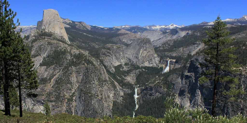
Yosemite’s granite staircases become waterfalls during peak runoff, creating conditions where the trail itself disappears under rushing water. The granite steps carved alongside Vernal and Nevada Falls turn slippery when wet, and several hikers have been swept over the falls after losing their footing.
The combination of early morning starts, strenuous climbing, and technical terrain creates a perfect setup for accidents. Tired hikers make poor decisions about hand and foot placement on wet granite, and the consequences of a slip can be fatal.
Precipice Trail
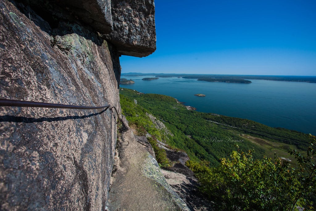
Acadia National Park’s most dangerous hike uses iron rungs and ladders to scale cliff faces that would otherwise require rock climbing equipment. The trail gains 1,000 feet of elevation in less than a mile, much of it on nearly vertical granite slabs with significant exposure to hundred-foot drops.
Weather conditions make this trail particularly hazardous. Rain makes the granite extremely slippery, and fog can reduce visibility to just a few feet.
Strong coastal winds can affect balance on exposed sections, and there are limited options for retreat once you commit to the upper sections of the climb.
When the Mountains Win
These trails don’t exist to be conquered. They exist to remind you that wilderness doesn’t care about your schedule, your fitness level, or your confidence.
The mountains have been here longer than human memory, and they’ll remain long after your footprints fade from their paths. Respecting that difference between adventure and survival might be the most important skill you can develop as a hiker.
More from Go2Tutors!

- The Romanov Crown Jewels and Their Tragic Fate
- 13 Historical Mysteries That Science Still Can’t Solve
- Famous Hoaxes That Fooled the World for Years
- 15 Child Stars with Tragic Adult Lives
- 16 Famous Jewelry Pieces in History
Like Go2Tutors’s content? Follow us on MSN.