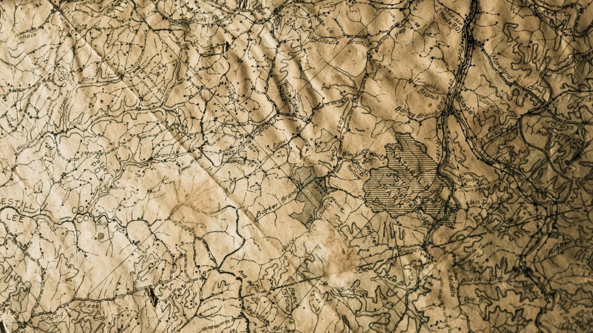
Stories of Explorers Lost but Whose Maps Remain
Exploration has always been very risky. Exploring uncharted territory came with risks of starvation, disease, hostile encounters, harsh climates, and the constant fear of never coming home.
Despite this, brave individuals have forged ahead throughout history, driven by ambition, curiosity, or the promise of exploration. Many of these explorers paid the ultimate price for their explorations.
They disappeared into jungles, froze in polar wastes, or died brutally far from civilization. But there was some purpose to their deaths.
The routes they charted, the maps they created, and the geographic data they gathered all survived them. These cartographic legacies became more valuable than the explorers themselves could have imagined by serving as guides for later expeditions and filling in blanks on world maps.
These 12 lost explorers are remembered for their maps and discoveries.
Sir John Franklin’s Arctic Charts

With two ships, HMS Erebus and HMS Terror, British naval officer Sir John Franklin led an expedition in 1845 to map the Northwest Passage through the Canadian Arctic. Over the course of several years, the entire 129-member crew perished from exposure, lead poisoning, and starvation after becoming stuck in ice close to King William Island.
Ironically, dozens of rescue missions sent to find Franklin over the next few decades mapped thousands of miles of unexplored Arctic coastline, making far more geographical discoveries than Franklin’s successful return would have. However, Franklin himself produced little new cartography.
Percy Fawcett’s Amazon Surveys
Colonel Percy Fawcett spent nearly two decades mapping unexplored regions of the Amazon basin between 1906 and 1924, producing detailed surveys of the Brazil-Bolivia border commissioned by the Royal Geographical Society. His meticulous cartographic work documented previously unknown rivers, waterfalls, and geographical features across vast stretches of jungle.
In 1925, pursuing speculative theories about a lost city he called ‘Z,’ Fawcett disappeared into the Mato Grosso region with his son Jack and friend Raleigh Rimell, but his earlier professional mapping expeditions remain valuable records of early 20th-century Amazonian geography.
Like Go2Tutors’s content? Follow us on MSN.
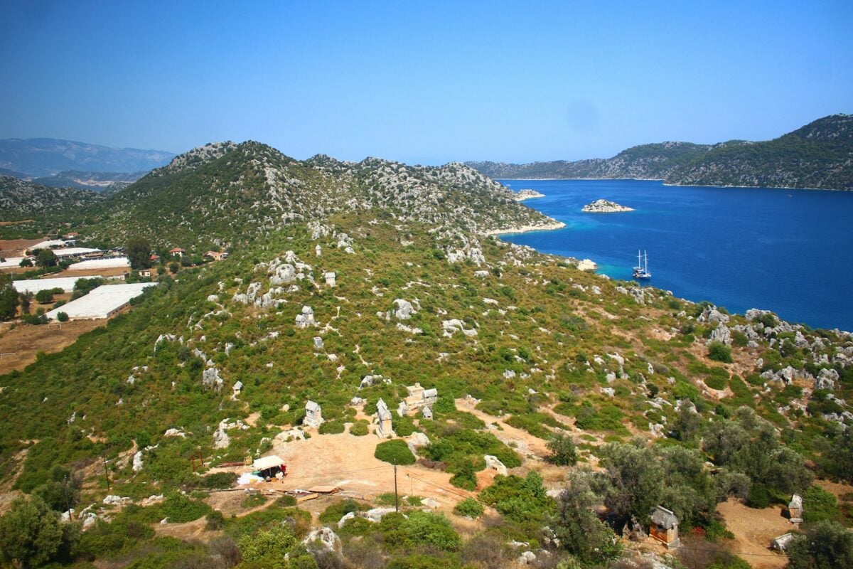
La Pérouse’s Pacific Voyage
French explorer Jean-François de Galaup, comte de La Pérouse led a grand around-the-world mapping expedition commissioned by King Louis XVI in 1785. He successfully charted coastlines from Alaska to Australia, gathering scientific data and cultural observations for nearly three years.
In 1788, his two ships vanished near the Solomon Islands, with wreckage eventually discovered at Vanikoro based on local accounts in the 1820s and confirmed by French expeditions in the 1960s, but the maps and journals he had sent back to France during the voyage survived and contributed significantly to European knowledge of the Pacific.
Henry Hudson’s Final Voyage
English explorer Henry Hudson made four voyages seeking northern routes to Asia, discovering the Hudson River and Hudson Bay in the process. In 1611, after a harsh winter trapped in ice, his crew mutinied and set Hudson, his son, and seven loyal crew members adrift in a small boat in Hudson Bay.
They were never seen again. While Hudson himself didn’t produce finished maps, his navigational logs and observations from earlier voyages provided crucial information for later cartographers and proved essential for establishing Dutch claims to New Amsterdam and opening fur trade routes in North America.
David Livingstone’s African Maps

Scottish missionary and explorer David Livingstone spent three decades mapping the interior of Africa, documenting the Zambezi River and becoming the first European to see Victoria Falls. He went missing in the African interior in 1866, prompting the famous Henry Morton Stanley expedition that located him in 1871.
Livingstone continued exploring until his death from disease in present-day Zambia in 1873, but his detailed maps and geographical observations transformed European understanding of central and southern Africa, filling in regions previously marked as blank spaces on maps.
Like Go2Tutors’s content? Follow us on MSN.
René-Robert Cavelier de La Salle

French explorer La Salle successfully descended the Mississippi River in 1682, claiming the vast Louisiana territory for France and confirming and extending earlier French maps by explorers Jolliet and Marquette. His ambition led him back to the Gulf of Mexico in 1684 to establish a colony, but navigational errors landed him hundreds of miles off course in Texas.
After years of hardship, his own men murdered him in 1687, yet his contributions to mapping the Mississippi River system became important documents for French colonial expansion in North America.
Ferdinand Magellan’s Circumnavigation

Portuguese explorer Ferdinand Magellan set out in 1519 to find a western route to the Spice Islands, successfully navigating through the strait that now bears his name at South America’s southern tip. He died in a skirmish in the Philippines in 1521, never completing the journey himself.
Juan Sebastián Elcano took command and completed the circumnavigation, with the expedition’s surviving ship returning to Spain in 1522 carrying charts from the entire voyage that revolutionized geographical understanding of the planet’s true size and the Pacific Ocean’s vast expanse.
Hernando de Soto’s Death on the Mississippi
Spanish conquistador Hernando de Soto led an extensive expedition through the southeastern United States from 1539 to 1542, becoming the first European to document the Mississippi River. After three years of brutal travel through present-day Florida, Georgia, the Carolinas, Tennessee, Alabama, Mississippi, Arkansas, and Louisiana, de Soto died of fever in 1542 near the Mississippi River.
His crew secretly buried him in the river, but the expedition’s survivors returned to Mexico, and accounts by chroniclers like Rodrigo Ranjel and Luis Hernández de Biedma provided Europeans their first detailed information about the vast interior of North America.
Like Go2Tutors’s content? Follow us on MSN.
George Bass’s Australian Surveys
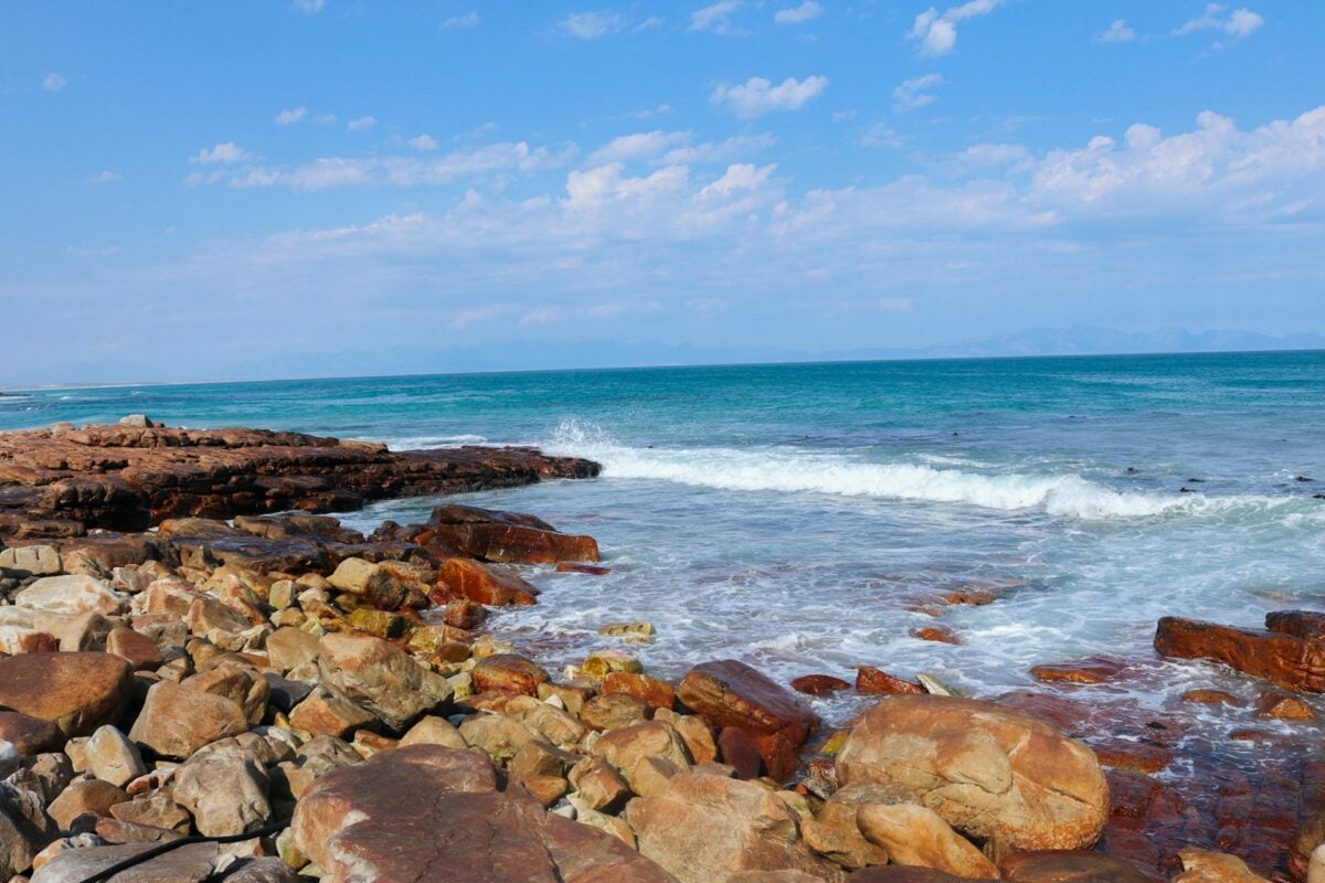
British naval surgeon and explorer George Bass charted much of Australia’s southeastern coast in the late 1790s, proving Tasmania was an island separated from the mainland by the strait that now bears his name. His detailed coastal surveys were crucial for navigation around Australia.
In 1803, Bass sailed from Sydney on a trading mission to South America and disappeared without a trace. His maps and nautical charts remained essential references for mariners navigating Australian waters for decades afterward.
Ludwig Leichhardt’s Outback Mystery

Prussian explorer Ludwig Leichhardt led successful expeditions across northeastern Australia in the 1840s, mapping routes from Brisbane to Port Essington and documenting the continent’s interior geography. In 1848, he attempted to cross Australia from east to west with a party of six men, vanishing without a trace into the Outback.
Despite dozens of search expeditions over the following decades, no definitive evidence of the party’s fate was ever found, but Leichhardt’s earlier maps and detailed journals from his successful expeditions became foundational documents for understanding Australia’s interior.
Zheng He’s Treasure Fleet Records
Chinese Admiral Zheng He commanded seven massive naval expeditions between 1405 and 1433, sailing throughout Southeast Asia, India, Arabia, and East Africa with fleets of hundreds of ships. His voyages gathered extensive geographical and cultural information, producing navigation records and maps.
After his death, political changes in China led to the deliberate destruction of most original expedition records. However, later derivative works like the Mao Kun map preserved some of the navigational knowledge from his voyages, influencing both Chinese and Islamic cartography for generations.
Like Go2Tutors’s content? Follow us on MSN.
Juan Ponce de León’s Florida Maps

Spanish explorer Juan Ponce de León led the first documented European expedition to Florida in 1513, exploring portions of the peninsula and the Bahamas while searching for new lands and the mythical Fountain of Youth. He returned in 1521 to establish a colony but was wounded by an arrow during a fight with the Calusa people.
He died from his wounds in Cuba shortly after. While his own charts were rudimentary, later Spanish maps of Florida and the Caribbean were influenced by information gathered during his voyages, contributing to European understanding of the region.
Legacy Written in Lines
These explorers met a similar end: they never came home. However, their stories didn’t stop when they passed away.
The geographical knowledge they gained during their expeditions outlasted them by centuries, whether it was from their own observations or those of their crews and rescuers. The gaps in human knowledge of the earth were filled by the documentation of every river, the illustration of every mountain range, and the tracing of every coastline.
Their legacies show that sometimes the journey is more significant than the safe return and that knowledge gained can endure even when the seekers themselves cannot.
More from Go2Tutors!

- 16 Historical Figures Who Were Nothing Like You Think
- 12 Things Sold in the 80s That Are Now Illegal
- 15 VHS Tapes That Could Be Worth Thousands
- 17 Historical “What Ifs” That Would Have Changed Everything
- 18 TV Shows That Vanished Without a Finale
Like Go2Tutors’s content? Follow us on MSN.