Strangest Borders Between Nations
Geography textbooks make borders look simple. Clean lines on maps, neat divisions between countries.
But travel to where these lines actually exist and you’ll find something else entirely. Some borders split houses down the middle.
Others exist on islands that swap countries every six months. A few create landlocked pieces of one nation stuck inside another, like geographic Russian dolls.
These aren’t just curiosities. Real people live in these places, dealing with the daily weirdness of their location.
Baarle: The Town That Belongs to Two Countries

The Belgian-Dutch border gets complicated in Baarle. This town contains 22 Belgian enclaves inside the Netherlands, plus seven Dutch enclaves inside those Belgian enclaves.
Walk down a single street and you cross between countries multiple times. House number 2 sits in Belgium.
Number 4 is Dutch. The border runs through buildings, restaurants, and living rooms.
Some homeowners pay taxes based on where their front door is located. During World War I, the Belgian sections stayed neutral while Dutch areas went dark during blackout orders.
Locals would cross into Belgium for an evening out, then walk a few steps home to the Netherlands. Today, the borders are marked with white crosses on the pavement and small national flags.
You can stand with one foot in each country without trying very hard.
The Korean DMZ: The Most Militarized No-Man’s Land

The Demilitarized Zone between North and South Korea is the most ironic name in geography. This four-kilometer-wide strip is one of the most heavily militarized places on Earth.
Nearly a million troops guard both sides. Landmines litter the ground. Propaganda loudspeakers blast messages across the divide.
Yet in a strange twist, this frozen conflict zone has become an accidental nature preserve. Rare cranes nest there.
Endangered species thrive in areas humans abandoned decades ago. The border itself follows the 38th parallel, but with variations that created oddities.
The Joint Security Area at Panmunjom contains buildings straddling the border. North Korean and South Korean soldiers face each other across a conference table, technically still at war.
Tourist groups from the South can visit, but stepping wrong means crossing into North Korea—which has happened, with serious consequences.
India and Bangladesh: The Enclave Nightmare
Until 2015, the India-Bangladesh border was absurd. It contained 162 enclaves—pieces of one country completely surrounded by the other.
Some enclaves existed inside other enclaves, creating third-order enclaves. People living in these areas faced impossible situations.
An Indian enclave in Bangladesh meant residents couldn’t access Indian services, schools, or hospitals without crossing Bangladesh. They couldn’t access Bangladeshi services either because they weren’t citizens.
The worst case was Dahala Khagrabari, the world’s only third-order enclave. This tiny piece of India sat inside a Bangladeshi enclave, which sat inside an Indian enclave, which sat inside Bangladesh.
Getting there required crossing the border three times. After 68 years, both countries finally swapped territories in 2015.
Over 50,000 people got to choose their citizenship. Most stayed where they were but finally gained legal status in the country that actually surrounded them.
Gibraltar: Three Miles of Dispute

This British territory juts out from Spain’s southern coast, covering just 2.6 square miles. Spain wants it back.
Britain refuses to leave. The border consists of an airport runway.
When planes land or take off, traffic stops. Cars wait at barriers while aircraft pass overhead, wheels nearly touching the road.
The runway doubles as Winston Churchill Avenue, the main road into Gibraltar. Spain has closed this border multiple times.
During the worst period from 1969 to 1985, no one could cross. Gibraltarians couldn’t visit relatives in Spain.
Spanish workers couldn’t reach their jobs in Gibraltar. Phone lines were cut.
The border became a wall. Today it’s open, but Spain makes its displeasure known.
Border checks take hours. Spanish guards move slowly, checking every passport multiple times.
British officials call it harassment. Spain calls it security.
Point Roberts: The American Town You Can’t Drive To

Point Roberts, Washington sits below the 49th parallel—the line that separates most of the U.S.-Canada border. But it’s south of that line only because it hangs off a peninsula that dips down from Canada.
This creates a problem. The town is American, but it’s cut off from the rest of America by Canada.
Residents drive through Canada to reach other parts of Washington State. Children take a bus through Canada to attend high school.
Medical emergencies mean crossing an international border. The nearest American town sits 25 miles away by road, all through Canada.
Shopping trips, doctor visits, everything requires showing your passport twice. During the pandemic, when the border closed, residents couldn’t get to American medical facilities at all.
About 1,300 people live with this oddity. Many are there for the cheap gas—they sell to Canadians who cross over to fill up.
The rest just got used to the weirdness.
The Wakhan Corridor: Afghanistan’s Strange Finger

Afghanistan extends a long, narrow strip of land eastward, creating a border with China. This is the Wakhan Corridor, and it exists for one reason: British and Russian imperial competition.
In the late 1800s, the British controlled India. Russia was expanding south.
Neither wanted to share a border, so they created a buffer. They squeezed Afghanistan between them, stretching it eastward until it touched China.
The result is bizarre. The corridor is 220 miles long but only 10 to 40 miles wide in most places.
Mountains surround it on all sides, some of the highest peaks in the world. Almost no one lives there.
No roads cross it. It’s one of the most remote places on Earth, existing purely because two empires wanted to avoid each other.
Bir Tawil: The Land Nobody Wants
Most border disputes involve countries fighting over territory. Bir Tawil is different.
Both Egypt and Sudan insist it belongs to the other. This 800-square-mile patch of desert sits between the two countries.
The confusion comes from two different borders. An 1899 border puts Bir Tawil in Egypt but places the more valuable Hala’ib Triangle in Sudan.
The 1902 border does the opposite. Each country claims whichever border gives it the Hala’ib Triangle, which has resources and people.
That means both reject Bir Tawil. It’s one of the last unclaimed territories on Earth.
A few people have tried to claim it as their own nation. None have succeeded.
No country recognizes these claims. Bir Tawil remains unwanted, unclaimed, and mostly unvisited.
Pheasant Island: The Six-Month Timeshare
A small island in the Bidasoa River swaps countries twice a year. From February through July, it’s French.
From August through January, it’s Spanish. This arrangement dates back to 1659.
France and Spain signed a treaty on the island, ending a war. To keep things fair, they decided to share it.
Every six months, ownership transfers. No one lives there.
The island is tiny, just 6,820 square meters. Trees cover most of it.
A monument marks the treaty signing. Otherwise, it sits empty.
But the swap continues. On the appointed days, sovereignty officially changes.
Spain gets it for half the year, France for the other half. It’s the world’s oldest condominium, still operating after more than 350 years.
The Northwest Angle: Minnesota’s Orphaned Land
Due to a mapping error, a small chunk of Minnesota sits north of the 49th parallel, separated from the rest of the state by the Lake of the Woods. You can’t drive there from Minnesota without crossing Canada.
Residents call the main road “Jim’s Corner Road” because it goes to Jim’s Corner, where you turn. That corner sits in Canada.
About 120 people live in the Angle. Schools, hospitals, shopping—everything requires driving through Manitoba.
During winter, some drive across the frozen lake, skipping Canada entirely. In summer, boats work.
The road goes through Canadian customs. The area exists because of sloppy 18th-century surveying.
Mapmakers thought the Mississippi River started further north than it does. When they drew the border, they created this geographical mistake.
Later surveys found the error, but by then treaties were signed. The Angle stayed American, cut off and isolated.
Hans Island: The Whisky War

Canada and Denmark fought over Hans Island for decades. Their weapons of choice: whisky and schnapps.
This tiny rock sits in the strait between Greenland and Canada. Both countries claimed it.
Neither would back down. So they took turns.
Danish sailors would visit, plant their flag, leave a bottle of schnapps, and go home. Canadian forces would arrive later, remove the Danish flag, plant their own, and leave a bottle of Canadian whisky.
Back and forth they went. The media called it the Whisky War.
It was the friendliest territorial dispute in history. In 2022, they finally split the island.
Half became Canadian, half Danish. The border runs through the middle.
Now Canada shares a land border with Denmark, making Denmark a neighbor to a North American country. All because of a barren rock no one really needs.
Lesotho: The Kingdom Inside Another Country
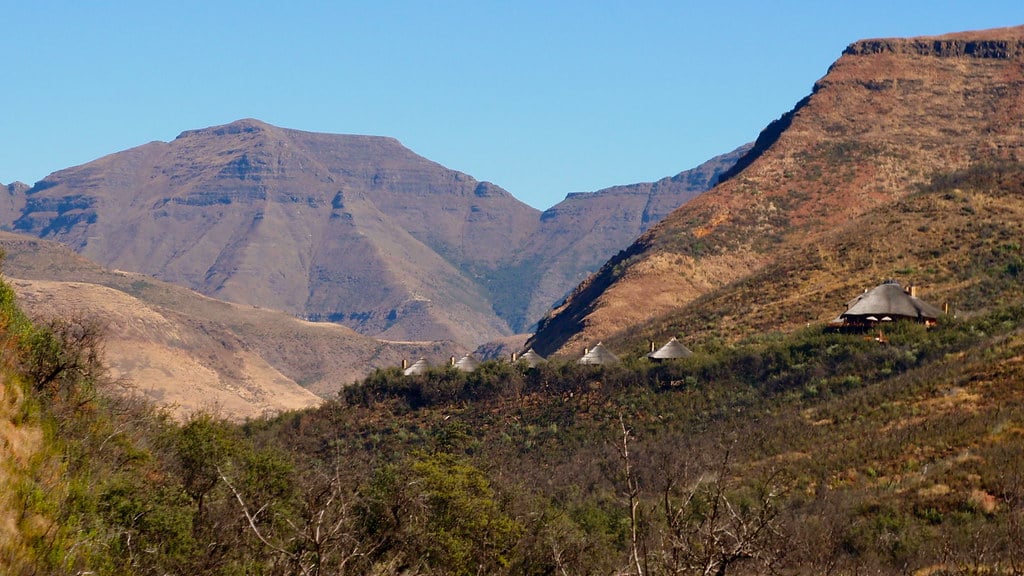
Lesotho is completely surrounded by South Africa. Not near it, not partially enclosed.
Completely.
This makes it one of three enclaved nations in the world. You can’t reach Lesotho without going through South Africa.
Every border crossing is with the same country. No coastline, no other neighbors, just South Africa on all sides.
The kingdom exists because of 19th-century politics. When European powers carved up Africa, the Basotho people asked Britain for protection from expansion by Boer settlers.
Britain agreed, creating Basutoland. When African nations gained independence, Basutoland became Lesotho but kept its borders.
Residents cross into South Africa for work, shopping, medical care. The economy depends heavily on its only neighbor.
But Lesotho maintains its independence, its king, and its identity—a mountain kingdom floating in the middle of another country.
The Diomede Islands: Tomorrow and Yesterday

One island flies the U.S. flag – its smaller sibling, Little Diomede. Across a narrow stretch of icy water sits the bigger one, claimed by Russia.
Just under two and a half miles separate these rocky outposts in the Bering Sea. Time shifts across the water that separates them.
From Little Diomede, your eyes land on Big Diomede just ahead. That island lives one day in front of you.
A glance from there toward you shows a day already gone. That stretch of water once caused real tension.
From their posts, Soviet lookouts kept eyes on homes across the way. Over there, U.S. forces tracked every shift in activity.
Being so close meant even small actions felt like threats. Frozen water shuts down passage when cold weather hits.
People once moved on foot across to nearby islands. A checkpoint went up under Soviet rule to block those walks.
Today, the Russian coast stares back from Alaskan ground – still off-limits. That line about spotting Russia from home?
Pure fiction. Over on Little Diomede, it happens for real.
Visible across the water, not far off, lies a place where tomorrow already arrived.
Where Place Meets Identity

Out here, lines on maps shape lives. Take a child near the northern edge – she hands over a passport before boarding yellow transport each morning.
One town split by two nations sees people picking shops depending on tax rates across borders. For years, households surrounded by foreign land waited.
Now letters reach them, seven decades later. Where we place lines changes how life unfolds.
Split apart by paper edges, villages grow distant overnight. Isolation sets in, quietly, like dust collecting in corners.
Still, folks make do – crafting routines where logic ends. What seems odd to some feels routine to those living it.
What we draw on maps often makes little sense, yet folks keep finding ways through it. People adapt, even when lines get in their way.
More from Go2Tutors!

- The Romanov Crown Jewels and Their Tragic Fate
- 13 Historical Mysteries That Science Still Can’t Solve
- Famous Hoaxes That Fooled the World for Years
- 15 Child Stars with Tragic Adult Lives
- 16 Famous Jewelry Pieces in History
Like Go2Tutors’s content? Follow us on MSN.