15 Navigation Tricks That Saved Countless Lives
Getting lost used to be a death sentence. Long before anyone dreamed of GPS satellites or smartphone apps, travelers depended on ingenious navigation methods handed down through countless generations of explorers, sailors, and wilderness survivors. These weren’t just clever party tricks—they literally meant the difference between making it home alive and becoming another grim story whispered around campfires.
What’s truly remarkable about these techniques is how they turned everyday observations into lifesaving tools. A shadow here, some bird behavior there, maybe the way moss grows on a rock—suddenly you’ve got a compass that works anywhere on Earth. Here is a list of 15 navigation tricks that saved countless lives throughout history.
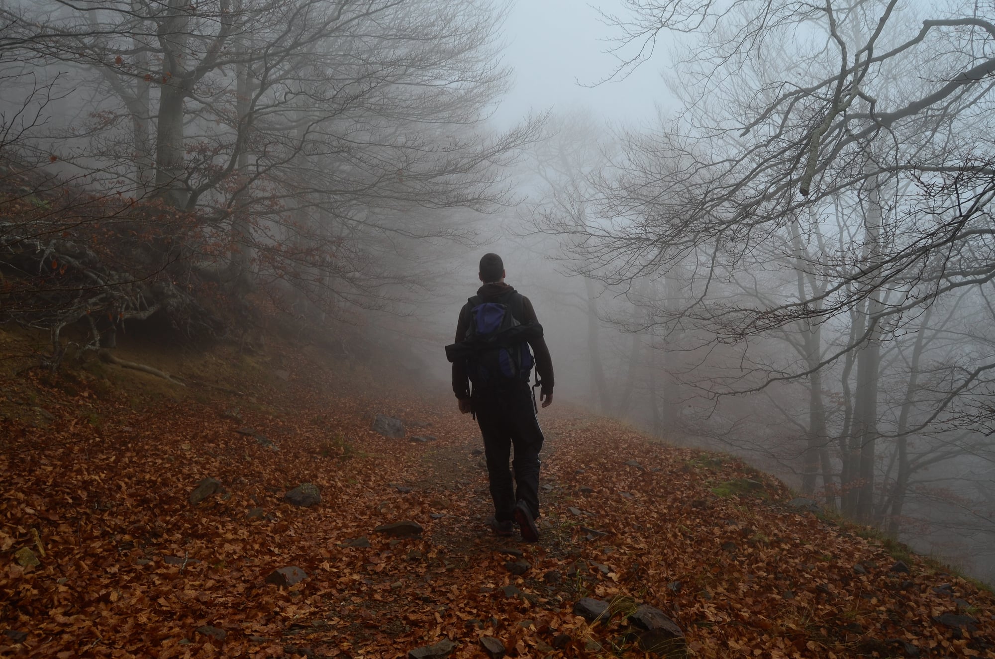
Following Animal Paths
Animals don’t waste energy wandering aimlessly, and ancient travelers figured this out fast. Game trails carved by deer, elk, and other large mammals create natural highways that connect feeding grounds to water sources—which almost always means human settlements aren’t far behind.
When human-made paths vanished into thick forest or rocky terrain, smart travelers switched to following these four-legged pathfinders. Countless hunters and explorers owe their lives to this simple observation about animal behavior.
The North Star Method

Polaris sits nearly motionless in the northern sky while everything else spins around it like a cosmic carousel. This makes it the most reliable celestial landmark ever discovered, visible even when clouds hide most other stars.
Medieval pilgrims used it to stay on course during long journeys, though modern hikers have also relied on this ancient technique when their fancy equipment fails. Finding Polaris through the Big Dipper constellation gives you an instant directional reference that’s worked for thousands of years.
Reading Cloud Formations

Sharp-eyed navigators discovered that clouds can betray the presence of land long before it appears on the horizon. Cumulus clouds tend to form over islands and coastlines because warm air rises from heated land masses, creating distinctive cloud signatures visible from 50 miles away at sea.
Polynesian navigators became absolute masters of this technique—they could island-hop across the entire Pacific using nothing but cloud patterns and wave behavior. Modern meteorology has only confirmed what these ancient mariners knew through pure observation
The Stick and Shadow Compass
Sometimes the simplest solutions work best. This technique requires nothing more than a straight stick, some way to mark the ground, and about 15 minutes of patience.
Plant the stick vertically and mark where its shadow tip falls, then wait and mark the new position. Connect these two points and you’ve got a perfect east-west line, with north and south running perpendicular to it.
Moss Growth Patterns

That old saying about moss growing on the north side of trees isn’t completely reliable, though it’s not entirely wrong either. Experienced woodsmen know that moss patterns can indicate general direction in specific climates where it stays damper on the north-facing sides of rocks and trees.
The key is using this observation alongside other directional clues rather than betting your life on moss alone. Lost hikers have found their bearings this way when other methods weren’t available.
Wave Pattern Navigation

Pacific Islander navigators developed what might be the most sophisticated pre-technological navigation system ever created. They learned to read ocean swells and wave patterns that bounced off distant islands and atolls, creating interference patterns that skilled navigators could actually feel through their boat hulls.
This remarkable skill worked even in complete darkness or heavy weather. Polynesian voyagers used these techniques to navigate across thousands of miles of open ocean without a single instrument.
Bird Flight Direction

Seabirds follow predictable schedules—they fly toward land in the evening and back to sea each morning, providing natural directional indicators for lost sailors and coastal travelers. Land birds also stick to reliable migration routes and feeding patterns that typically point toward water sources and human settlements.
Observant travelers have used bird behavior as living compasses for millennia, especially when exploring unfamiliar territory where other landmarks might be misleading.
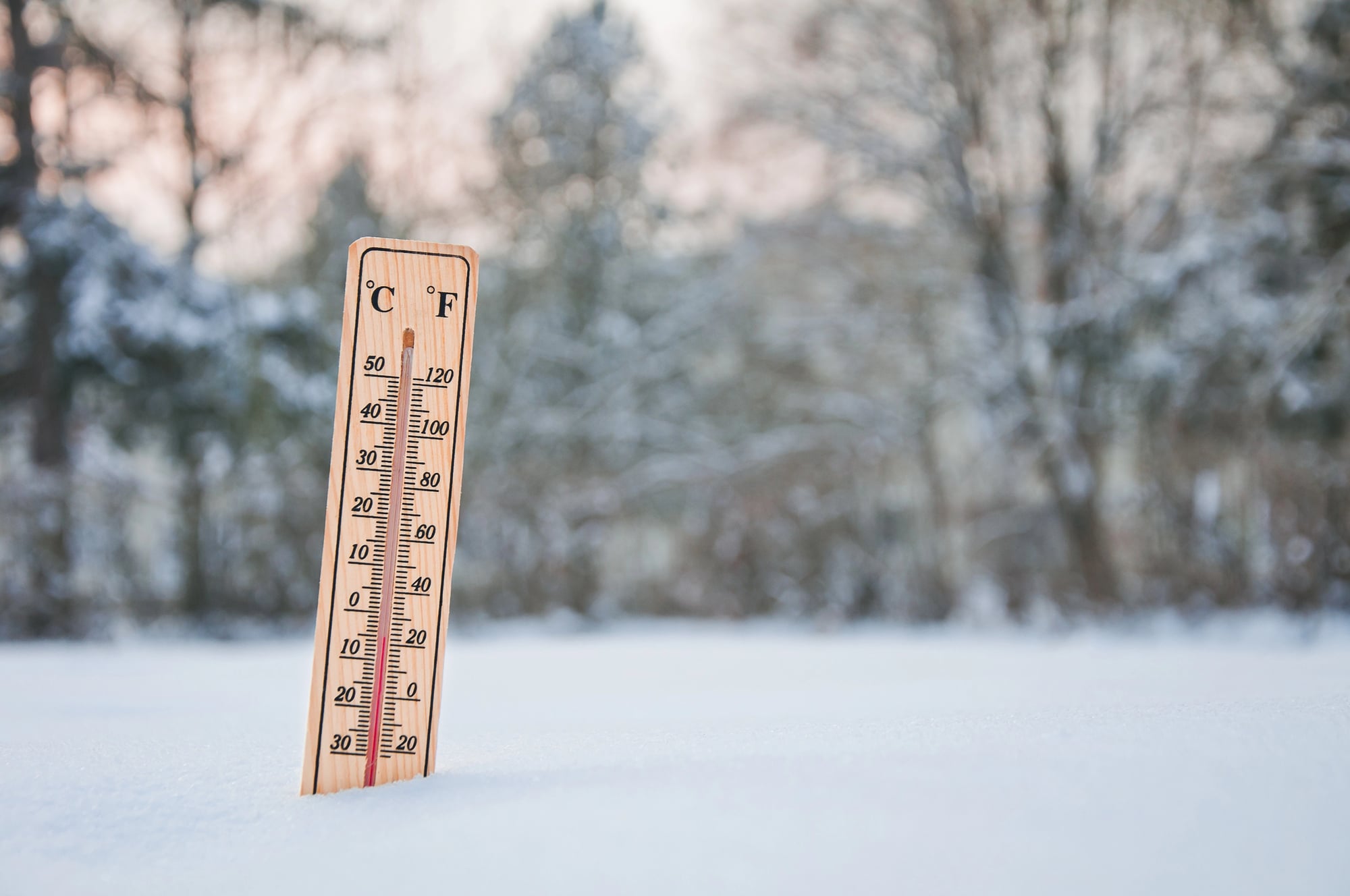
Snow and Ice Indicators
Winter conditions create their own navigation language for those who know how to read it. Wind-blown snow forms distinctive patterns on the protected sides of rocks, trees, and other obstacles, revealing prevailing wind directions that often correspond to major geographic features.
Arctic explorers used these snow-reading skills to navigate through whiteout conditions that would otherwise prove fatal. Understanding how snow accumulates and drifts can also help identify dangerous terrain like hidden crevasses or unstable ice formations.
Water Flow Logic
Water always seeks the lowest path, and lost travelers learned to use this basic physics principle to their advantage. Small streams inevitably flow toward larger bodies of water, which typically lead to rivers, towns, or coastal areas where help can be found.
Following even tiny trickles downstream has guided countless lost hikers and hunters back to civilization. This technique works because human settlements naturally cluster around reliable water sources.
Star Wheel Positioning
Medieval sailors got creative when their proper navigation tools were damaged or lost overboard. They fashioned makeshift astrolabes and star wheels from whatever materials they had—sticks, string, and basic angle measurements could provide surprisingly accurate positional information.
These improvised instruments weren’t as precise as professionally made versions, yet they worked well enough to determine latitude by measuring star positions. Traders and explorers relied on these jury-rigged solutions when their lives depended on knowing where they were.
Plant Growth Indicators

Plants respond to their environment in predictable ways that create natural directional indicators for observant travelers. Trees often develop fuller growth on their south-facing sides in northern climates, while certain plant species thrive only when oriented in specific directions.
Native peoples taught early settlers these botanical navigation secrets that proved invaluable in trackless wilderness areas. Reading vegetation patterns requires experience and local knowledge, though the technique works reliably once you understand regional growing patterns.
Sound and Echo Mapping
Mountain travelers discovered that echoes could map invisible terrain features during low visibility conditions. Shouting or clapping and timing the echo return helps estimate distances to cliffs, valleys, and other terrain features when fog or darkness makes visual navigation impossible.
This acoustic technique has prevented countless falls and helped climbers find safe routes through treacherous terrain. Sound travels at predictable speeds, making this a surprisingly accurate method for judging distances and avoiding dangerous drop-offs.
Wind Pattern Recognition
Coastal regions generate predictable daily wind patterns as air masses move between land and sea, providing reliable directional references for travelers. Mountain areas create their own distinctive wind flows through passes and valleys that experienced guides learned to read like natural road signs.
Understanding these wind patterns helped traders and explorers choose safer routes while avoiding areas where dangerous weather might trap them. Local wind knowledge often meant the difference between a successful journey and a deadly miscalculation.
Temperature Gradient Navigation
Experienced outdoorsmen developed the ability to sense subtle temperature changes that indicated direction toward or away from large bodies of water, elevation changes, or developing weather patterns. Feeling these barely perceptible temperature differences while walking can reveal whether you’re heading toward a valley, ridge, or open area.
This technique required years of experience to master since the temperature changes are often quite subtle. However, it could provide crucial guidance when visual landmarks weren’t available or trustworthy.
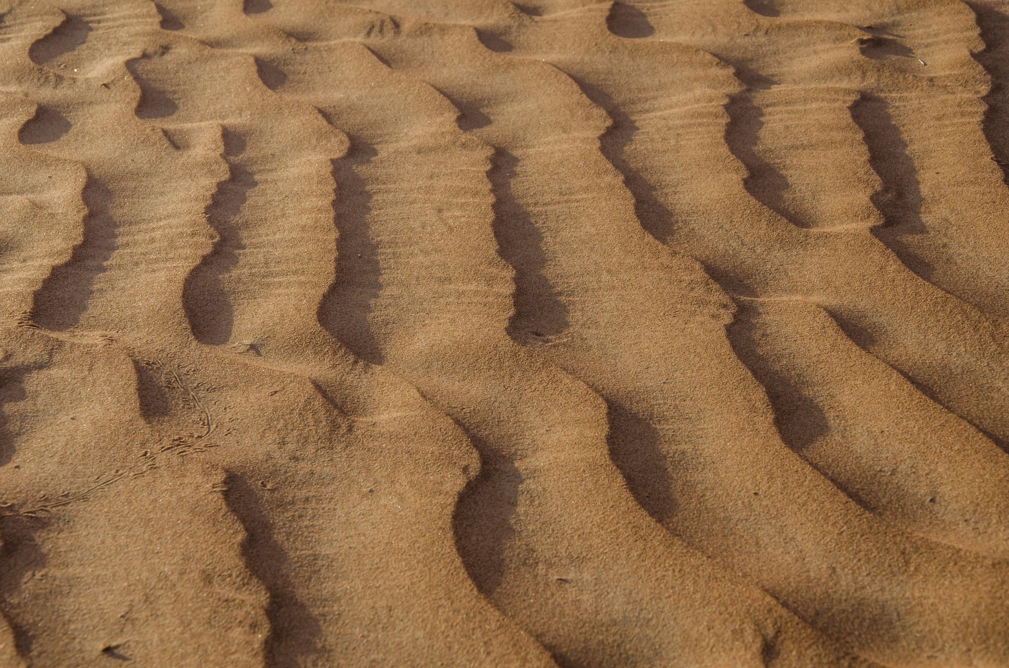
Ground Texture Reading

Desert and prairie travelers developed extraordinary skills for reading minute changes in soil composition, vegetation patterns, and ground texture that indicated direction toward water sources or established routes. These barely perceptible differences in terrain could point toward ancient trails, seasonal water sources, or areas where other travelers commonly passed.
Bedouin guides and Plains Indians mastered this ground reading to navigate across seemingly featureless landscapes where a wrong turn meant death from thirst or exposure.
When Navigation Meant Everything

These techniques represent something remarkable about human adaptability—how necessity forces innovation in the most crucial moments. Each method comes from generations of hard-won knowledge, passed down by survivors who learned these skills because their lives literally depended on it.
Modern technology has certainly made navigation easier and safer, yet these time-tested techniques still function perfectly when batteries die and satellite signals fail. The next time you casually check your phone for directions, consider that not so long ago, reading clouds and following animal trails was what separated the living from the dead for countless travelers who paved the way for our modern world.
More from Go2Tutors!

- The Romanov Crown Jewels and Their Tragic Fate
- 13 Historical Mysteries That Science Still Can’t Solve
- Famous Hoaxes That Fooled the World for Years
- 15 Child Stars with Tragic Adult Lives
- 16 Famous Jewelry Pieces in History
Like Go2Tutors’s content? Follow us on MSN.