15 Times Ancient Maps Were More Accurate
Ancient cartographers often get dismissed as primitive dreamers who filled empty spaces with sea monsters and mythical lands. Yet modern technology has revealed something fascinating: these early mapmakers were surprisingly precise about many geographical features, sometimes more so than maps created centuries later.
Here’s a list of 15 remarkable instances where ancient maps got it right when later cartographers got it wrong.
The Piri Reis Map’s Antarctic Coastline
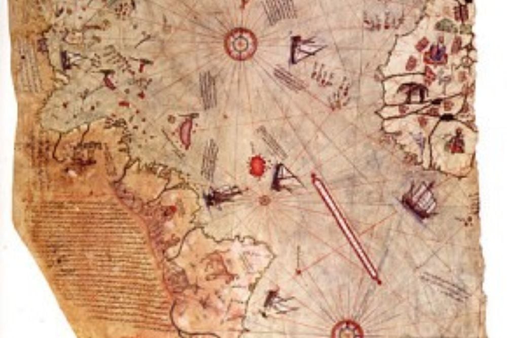
The 1513 Piri Reis map shows Antarctica’s coastline with startling precision — centuries before the continent was officially discovered in 1820. This Ottoman admiral’s chart depicts the ice-free coastline that lies beneath Antarctica’s ice sheet, details that weren’t confirmed until seismic surveys in the 1950s.
The map’s accuracy suggests ancient sources had knowledge of Antarctica’s true geography long before modern exploration began.
Medieval Maps of the Caspian Sea
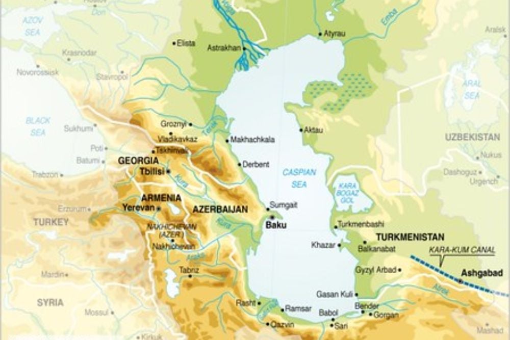
European maps from the 16th and 17th centuries consistently showed the Caspian Sea as round or connected to the Arctic Ocean. Medieval Islamic maps from the 10th century, however, depicted its correct north-south elongated shape — along with its isolated position.
These earlier cartographers had access to better trade route information plus firsthand accounts from merchants who’d actually traveled the region.
Like Go2Tutors’s content? Follow us on MSN.
Ptolemy’s Africa Outline
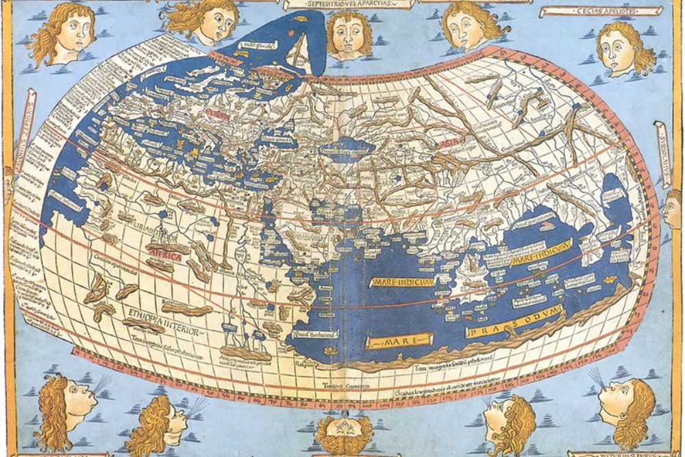
Claudius Ptolemy’s 2nd-century map of Africa shows the continent’s general shape with remarkable accuracy, though later Renaissance maps would prove far less reliable. His work included correct positioning of the Great Lakes region while European maps from centuries later — influenced by incomplete exploration reports — often depicted Africa as much smaller or with completely wrong proportions.
Ptolemy’s version remained the most accurate representation of Africa’s outline until the 19th century.
Chinese Maps of the Silk Road

Tang Dynasty maps from the 7th century show precise distances along Silk Road routes — something European medieval maps failed to achieve. These Chinese cartographers captured geographical features with stunning accuracy while their European counterparts made massive errors in scale and positioning of Central Asian landmarks.
The Chinese had continuous trade relationships plus administrative records that kept their maps updated.
Babylonian Clay Tablets of River Systems
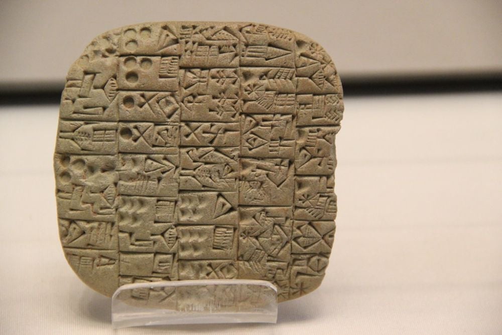
Babylonian clay tablets from 600 BCE show incredibly detailed representations of the Tigris and Euphrates river systems — including seasonal flooding patterns that later mapmakers missed entirely. Greek and Roman maps of the same region often simplified or misrepresented these waterways, though the Babylonians lived with these rivers daily.
They understood river behavior in ways that distant mapmakers never could.
Like Go2Tutors’s content? Follow us on MSN.
Viking Maps of Greenland’s Coast
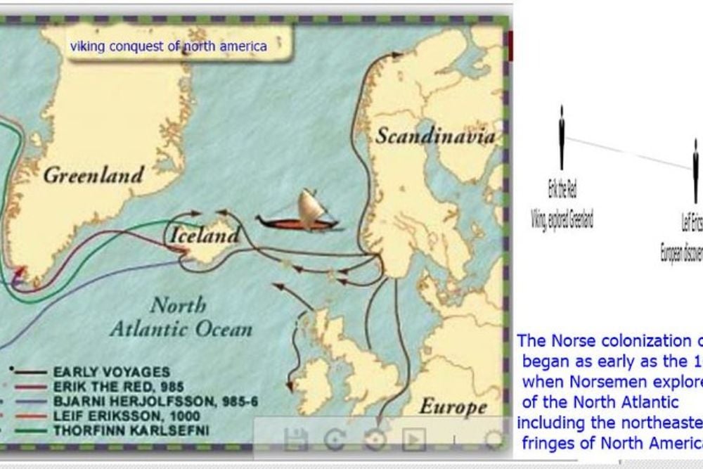
Norse maps from the 10th and 11th centuries accurately depicted Greenland’s fjords — with precision that wasn’t matched until modern aerial photography arrived. Later European maps often showed Greenland as a small island or mistakenly connected it to North America.
The Vikings’ firsthand exploration gave them superior knowledge of Greenland’s true geography through actual settlement experience.
Polynesian Stick Charts of Ocean Currents
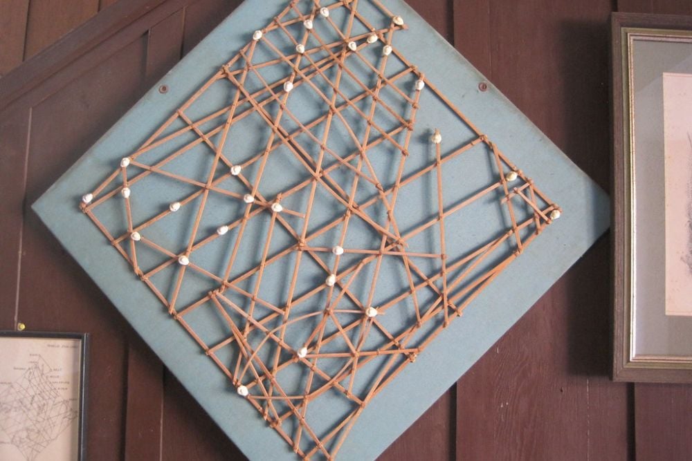
Traditional Polynesian navigation charts made from sticks and shells showed ocean wave patterns with accuracy that modern oceanographers have since confirmed. European naval charts from the colonial period often misrepresented these crucial navigational features — or missed them completely.
Polynesian navigators spent generations learning ocean patterns while European sailors encountered them only briefly.
Islamic Golden Age Maps of India
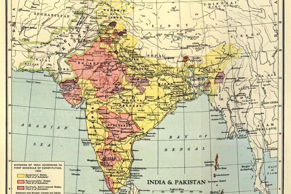
9th-century Islamic maps showed the Indian subcontinent’s shape with remarkable precision — something later European colonial maps couldn’t match. These earlier works accurately depicted river systems while European versions often distorted India’s proportions or misplaced major geographical features.
Islamic scholars had access to Indian mathematical texts plus extensive trade networks that provided reliable geographical information.
Like Go2Tutors’s content? Follow us on MSN.
Inca Road System Mapping
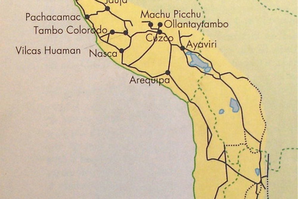
Inca administrative records depicted the complex network of roads throughout the Andes Mountains — with accuracy that Spanish colonial maps couldn’t replicate. These textile maps showed engineering marvels in their precise locations while Spanish versions often simplified or misrepresented them entirely.
The Incas maintained detailed infrastructure records that European colonizers couldn’t match without extensive surveying.
Aboriginal Australian Songline Maps
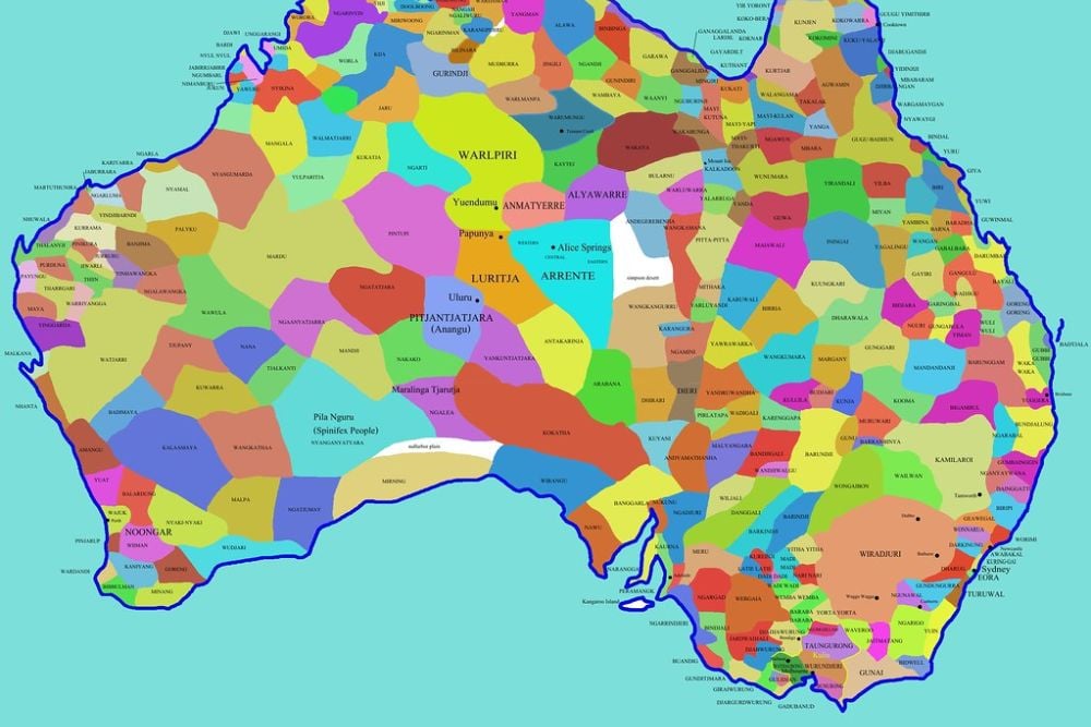
Traditional Aboriginal maps encoded in songs accurately described water sources across vast distances — something early European maps of Australia’s interior got completely wrong. These songline maps included seasonal changes plus crucial survival details that Europeans missed.
Aboriginal peoples had tens of thousands of years of accumulated landscape knowledge.
Mayan Astronomical Site Positioning
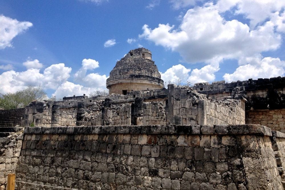
Mayan maps show precise astronomical alignments between ceremonial sites. Colonial-era Spanish maps often misrepresented these locations along with their significance.
Mayan astronomers had sophisticated understanding of celestial mechanics that influenced their precise geographical planning.
Like Go2Tutors’s content? Follow us on MSN.
Phoenician Trade Route Charts
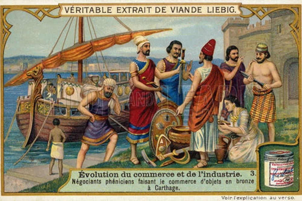
Phoenician maritime charts accurately depicted Mediterranean coastlines, harbor depths, and seasonal wind patterns. Later Greek maps sometimes contained errors about these same features despite building on Phoenician knowledge.
Phoenician merchants had commercial incentives to keep their navigational information extremely accurate.
Aztec Tribute Maps of Mexico
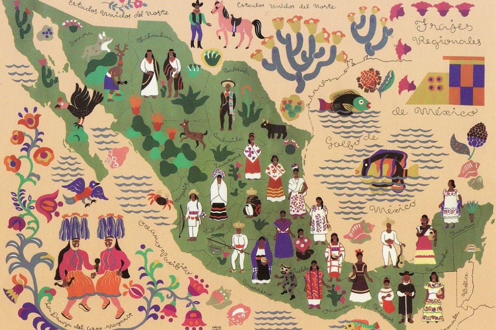
Aztec codices contained detailed geographical information about tributary regions, including accurate distances throughout Mexico. Spanish colonial maps often simplified these administrative boundaries along with geographical features.
The Aztecs maintained extensive bureaucratic records that required precise geographical knowledge for tax collection.
Japanese Edo Period Coastal Charts
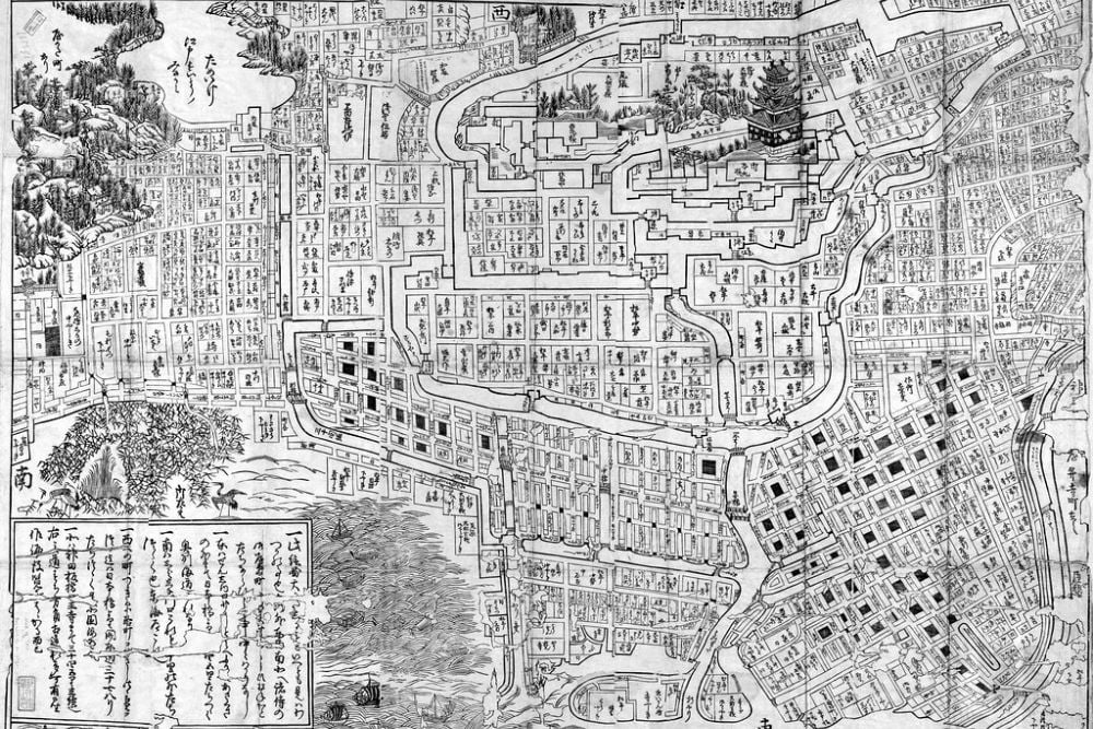
Japanese maps from the Edo period showed incredibly detailed coastal features around Japan. Later Western naval charts often contained errors about these same waters despite Japanese assistance.
Japanese cartographers had centuries of accumulated knowledge from local fishing communities.
Like Go2Tutors’s content? Follow us on MSN.
Ancient Egyptian Nile Flood Maps
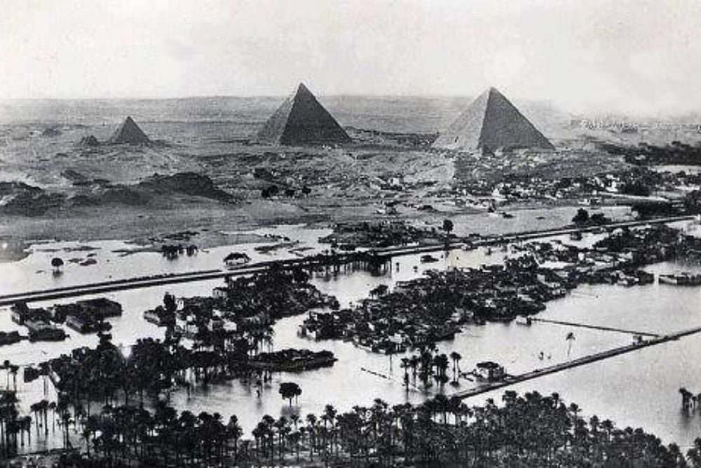
Egyptian papyrus maps accurately predicted annual Nile flooding patterns along with precise elevation changes in the river valley. Later European maps often misunderstood these crucial agricultural details.
Egyptian civilization depended entirely on understanding the Nile’s behavior, making their maps essential survival tools.
When Ancient Knowledge Meets Modern Technology

These examples reveal something important about how knowledge travels through time. Ancient mapmakers often had advantages that later cartographers lacked: direct experience, local expertise, and practical necessity. While modern technology eventually surpassed ancient accuracy, there were centuries when newer didn’t mean better.
The lesson here isn’t just about maps—it’s about respecting the accumulated wisdom of people who lived intimately with their environments. Sometimes the oldest sources really do know best.
More from Go2Tutors!

- 16 Historical Figures Who Were Nothing Like You Think
- 12 Things Sold in the 80s That Are Now Illegal
- 15 VHS Tapes That Could Be Worth Thousands
- 17 Historical “What Ifs” That Would Have Changed Everything
- 18 TV Shows That Vanished Without a Finale
Like Go2Tutors’s content? Follow us on MSN.