16 Largest Lakes That Are Completely Landlocked
When most people think of massive bodies of water, they picture oceans stretching to the horizon or coastal seas that connect to the world’s marine highways. Yet some of the planet’s most impressive waters sit entirely surrounded by land, creating their own unique ecosystems and weather patterns. These landlocked lakes often dwarf entire countries in size and hold secrets that scientists are still discovering.
From ancient seas that became trapped by shifting continents to modern reservoirs that transformed entire regions, these waters tell fascinating stories of geology, climate, and human ingenuity. Here is a list of 16 largest lakes that are completely landlocked.
Caspian Sea
The Caspian Sea holds the title of world’s largest landlocked body of water — covering roughly 143,000 square miles between Europe and Asia. Despite its name, this massive water body is technically a lake since it has no natural outlet to the ocean.
The Caspian stretches about 750 miles from north to south. It contains more water than all of North America’s Great Lakes combined.
Its shores touch five countries: Russia, Kazakhstan, Turkmenistan, Iran, and Azerbaijan.
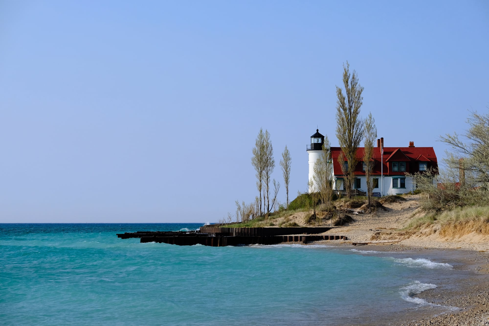
Lake Superior
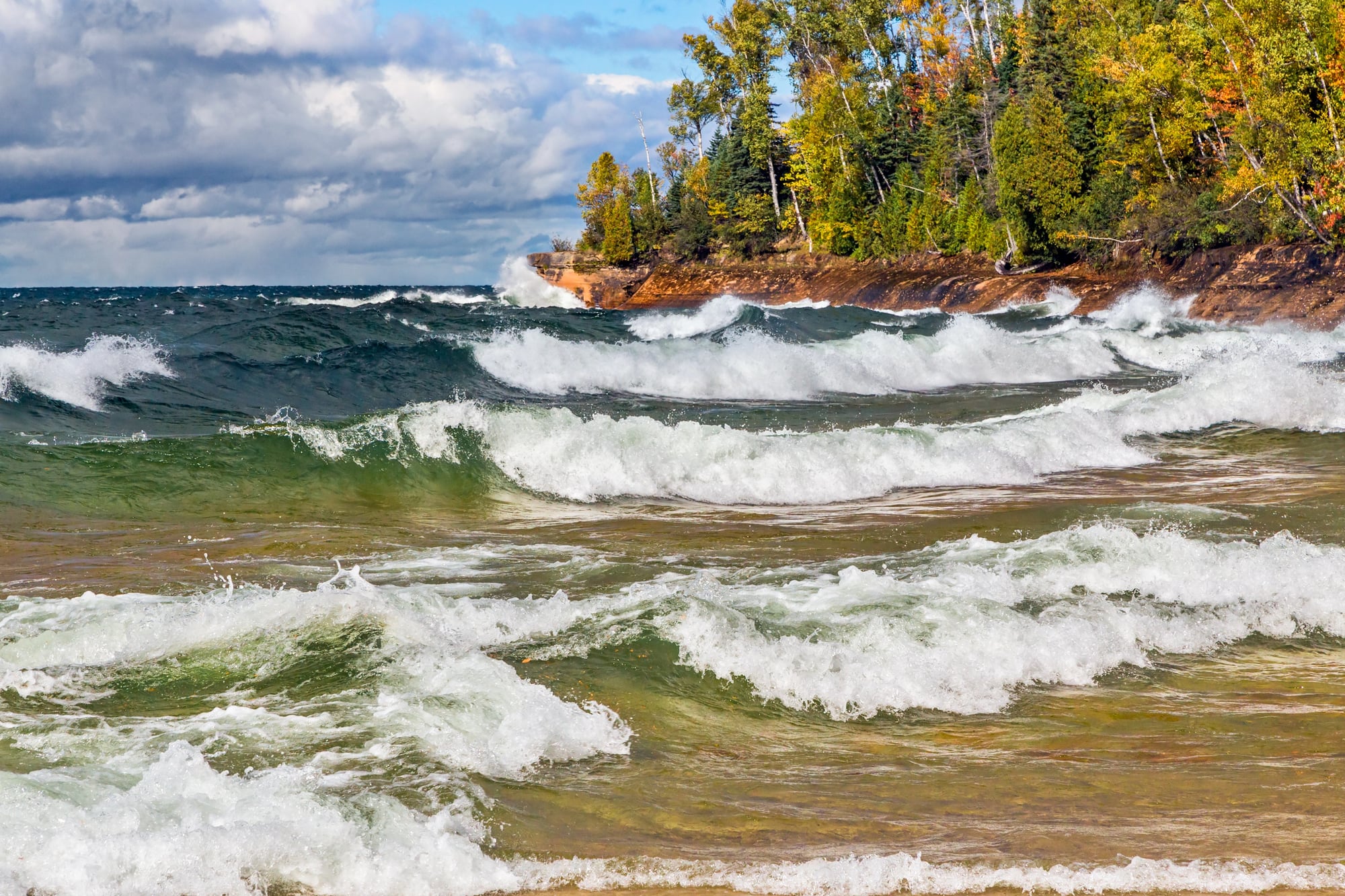
Lake Superior lives up to its name as the largest of North America’s Great Lakes — covering approximately 31,700 square miles. This freshwater giant contains about 10% of the world’s surface freshwater.
It could easily swallow the entire state of South Carolina. The lake’s average depth reaches 483 feet, though its deepest point plunges to 1,330 feet.
Lake Superior’s frigid waters rarely warm above 40 degrees Fahrenheit, even in summer.
Like Go2Tutors’s content? Follow us on MSN.
Lake Victoria
Lake Victoria dominates East Africa as the continent’s largest lake — and the world’s second-largest freshwater lake by surface area. Covering about 26,600 square miles, this lake serves as the primary source of the Nile River.
It supports the livelihoods of millions of people across Uganda, Kenya, and Tanzania. The lake formed relatively recently in geological terms, appearing only about 400,000 years ago when tectonic activity created the basin that now holds its waters.
Lake Huron
Lake Huron ranks as the second-largest Great Lake, spanning approximately 23,000 square miles between Michigan and Ontario. This lake features the world’s largest freshwater island — Manitoulin Island — which itself contains over 100 smaller lakes.
Lake Huron connects to Lake Michigan through the Straits of Mackinac. Together they form the largest freshwater system in the world.
The lake’s Georgian Bay region is famous for its crystal-clear waters and thousands of rocky islands.
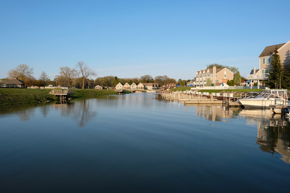
Lake Michigan
Lake Michigan stands as the only Great Lake located entirely within the United States — covering about 22,300 square miles. The lake stretches 307 miles from north to south.
It reaches a maximum depth of 925 feet. Chicago sits on its southwestern shore, making Lake Michigan a vital shipping route for the American Midwest.
The lake’s waters are so clear that you can sometimes see the bottom at depths of 30 feet or more.
Like Go2Tutors’s content? Follow us on MSN.
Aral Sea

The Aral Sea represents one of the world’s greatest environmental disasters — shrinking from its original size of about 26,300 square miles to roughly 10% of that area today. Located between Kazakhstan and Uzbekistan, this once-massive lake began disappearing in the 1960s when Soviet irrigation projects diverted its source rivers.
What remains is a fraction of the original sea. Abandoned fishing boats now sit on dry land miles from any water.
The disaster serves as a stark reminder of how human activity can dramatically alter natural landscapes.
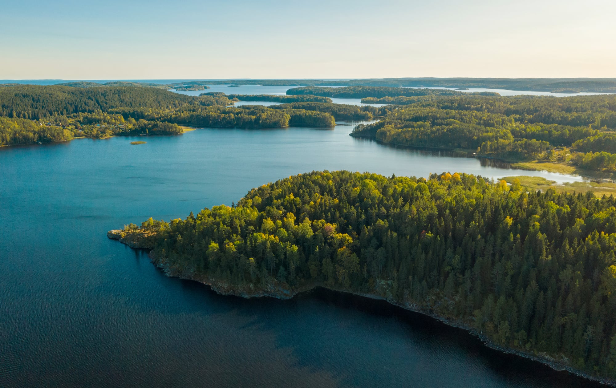
Lake Tanganyika
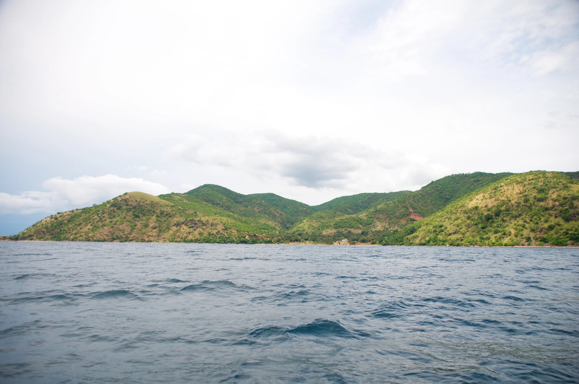
Lake Tanganyika stretches like a massive ribbon through East Africa — covering approximately 12,700 square miles across four countries: Tanzania, Democratic Republic of Congo, Burundi, and Zambia. This ancient lake formed between 9 and 12 million years ago.
It reaches depths of over 4,800 feet, making it the second-deepest lake in the world. The lake contains about 16% of the world’s freshwater and hosts an incredible variety of fish species, many found nowhere else on Earth.
Great Bear Lake
Great Bear Lake claims the title of largest lake entirely within Canada — covering about 12,100 square miles in the Northwest Territories. This pristine wilderness lake sits well above the Arctic Circle.
It remains frozen for about eight months each year. The lake’s waters are so clear and cold that they support lake trout weighing over 60 pounds.
Great Bear Lake also holds historical significance as the site where uranium was first mined in Canada during the 1930s.
Like Go2Tutors’s content? Follow us on MSN.
Lake Baikal
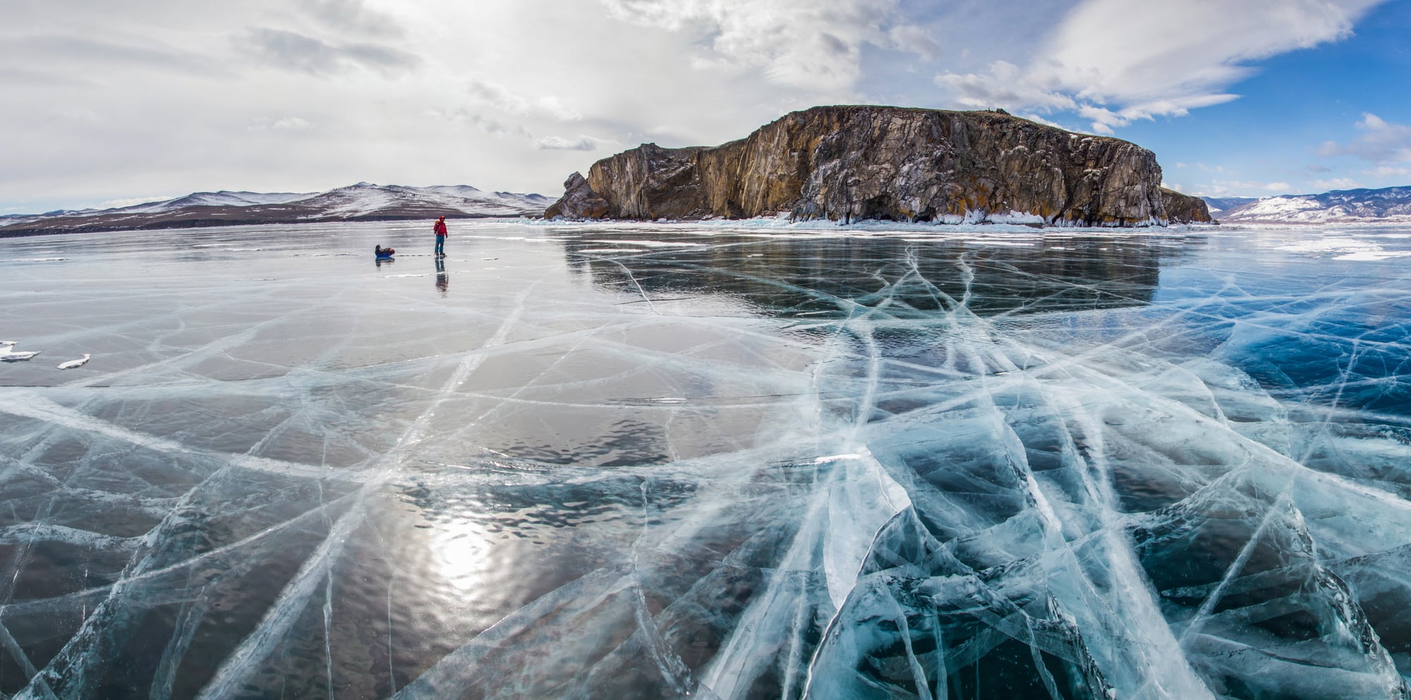
Lake Baikal in Siberia may only cover about 12,200 square miles — but it holds roughly 20% of the world’s unfrozen freshwater due to its incredible depth of over 5,300 feet. This ancient lake formed 25 million years ago.
It contains more water than all of North America’s Great Lakes combined. Lake Baikal hosts over 1,700 species of plants and animals, with about two-thirds found nowhere else on Earth.
The lake’s water is so pure that you can drink it directly without treatment.
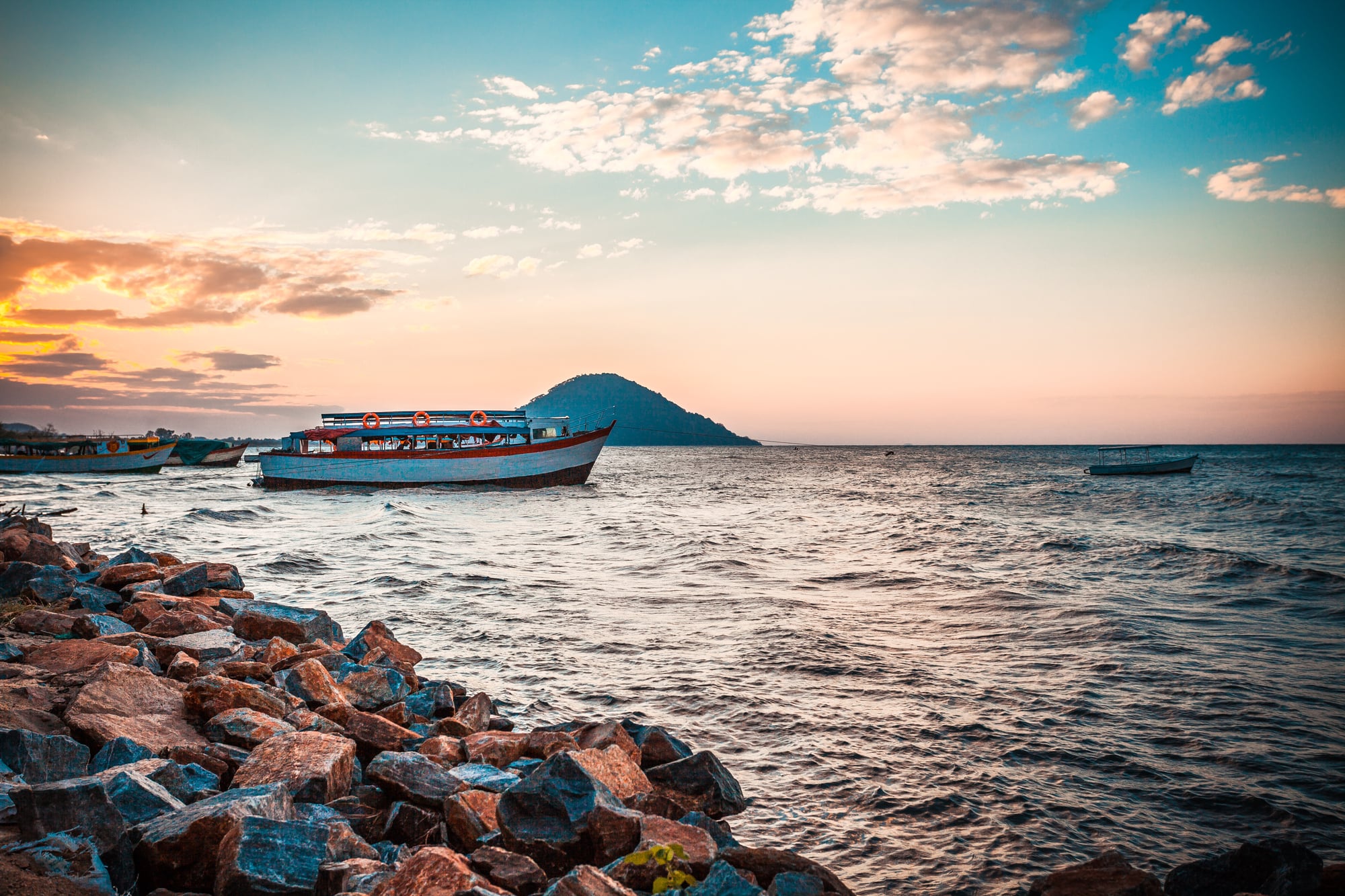
Lake Nyasa

Lake Nyasa, also known as Lake Malawi — spans approximately 11,400 square miles in the East African Rift Valley. This tropical lake supports one of the world’s most diverse freshwater fish populations.
It’s home to over 1,000 species of cichlid fish that have evolved in isolation over millions of years. The lake’s warm, clear waters make it a popular destination for divers and researchers studying evolution in action.
Three countries share its shores: Malawi, Tanzania, and Mozambique.
Great Slave Lake
Great Slave Lake in Canada’s Northwest Territories covers about 11,000 square miles and reaches depths of over 2,000 feet. The lake remains frozen for about six months each year, creating ice roads that connect remote communities to the outside world.
During winter, these ice highways can support fully loaded transport trucks carrying supplies to diamond mines and isolated towns.
The lake’s name comes from the Slavey First Nation, whose traditional territory includes this region.
Like Go2Tutors’s content? Follow us on MSN.
Lake Erie
Lake Erie covers approximately 9,910 square miles as the fourth-largest Great Lake by surface area, yet it’s the shallowest, with an average depth of just 62 feet. This relatively shallow nature makes Lake Erie the warmest of the Great Lakes and the first to freeze in winter.
The lake supports a massive fishing industry and connects to Lake Ontario through the famous Niagara Falls.
Despite its smaller size compared to other Great Lakes, Lake Erie provides drinking water for over 11 million people.
Lake Winnipeg

Lake Winnipeg in Manitoba, Canada, covers about 9,400 square miles and serves as a remnant of the massive glacial Lake Agassiz that once covered much of central North America. This relatively shallow lake, with an average depth of just 40 feet, plays a crucial role in the local ecosystem and economy.
The lake supports commercial fishing operations and provides a vital flyway for millions of migrating birds.
Its name comes from the Cree words meaning ‘muddy waters.’
Lake Ontario
Lake Ontario rounds out the Great Lakes system, covering approximately 7,340 square miles between New York and Ontario. Despite being the smallest Great Lake by surface area, Lake Ontario is the second-deepest, reaching down 802 feet at its maximum depth.
The lake never freezes completely due to its depth and sits at the lowest elevation of all the Great Lakes.
Toronto, Canada’s largest city, sits on its northwestern shore, making Lake Ontario a vital shipping route for both countries.
Like Go2Tutors’s content? Follow us on MSN.
Lake Ladoga
Lake Ladoga in northwestern Russia covers about 6,700 square miles, making it Europe’s largest lake entirely within one country. This ancient lake formed during the last ice age and contains over 650 islands, many of which host historic monasteries and fortresses.
During World War II, Lake Ladoga became famous as the ‘Road of Life’ when a winter ice road across the lake provided the only supply route to besieged Leningrad.
The lake’s waters eventually flow into the Baltic Sea through the Neva River.
Lake Balkhash
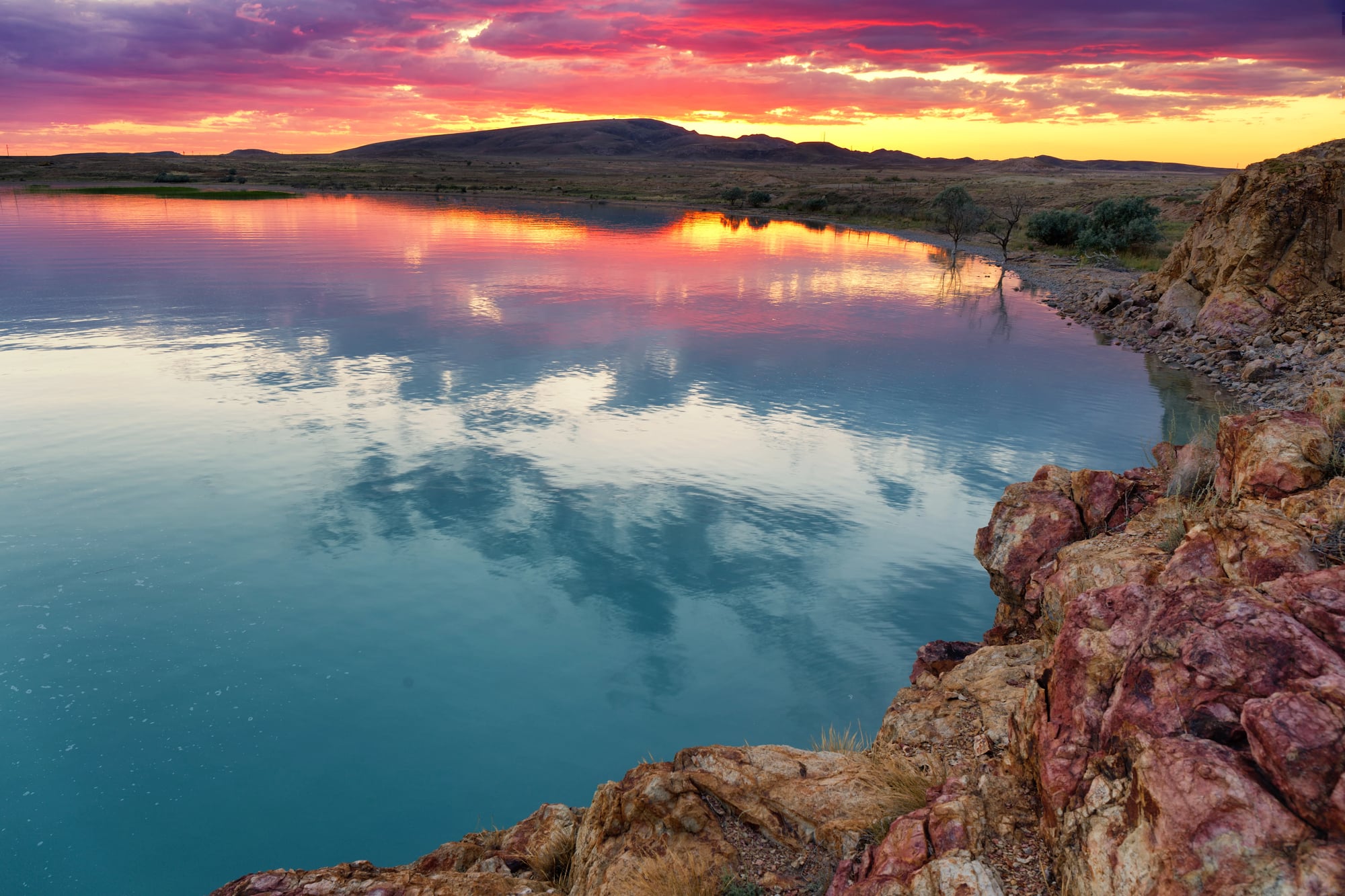
Lake Balkhash in Kazakhstan covers approximately 6,400 square miles, though it displays a remarkable feature: its western part contains fresh water while its eastern section is salty. This unusual characteristic occurs because the lake has no outlet and different tributaries feed each section.
The lake sits in a closed basin surrounded by desert and steppe, making it a crucial water source for the region.
Industrial development and water diversion have threatened the lake’s health, similar to what happened to the nearby Aral Sea.
Waters That Shape Continents
These landlocked giants prove that you don’t need an ocean connection to create waters that shape entire continents and civilizations. From the ancient depths of Lake Baikal to the tragic transformation of the Aral Sea, each of these lakes tells a unique story of geological forces, climate patterns, and human interaction with nature.
Many of these waters face modern challenges from pollution, climate change, and human development, making their preservation crucial for future generations.
Their continued existence reminds us that some of Earth’s most precious resources lie not along coastlines, yet deep within the heart of our continents, quietly sustaining life and wonder far from any ocean’s reach.
Like Go2Tutors’s content? Follow us on MSN.
More from Go2Tutors!

- 16 Historical Figures Who Were Nothing Like You Think
- 12 Things Sold in the 80s That Are Now Illegal
- 15 VHS Tapes That Could Be Worth Thousands
- 17 Historical “What Ifs” That Would Have Changed Everything
- 18 TV Shows That Vanished Without a Finale
Like Go2Tutors’s content? Follow us on MSN.