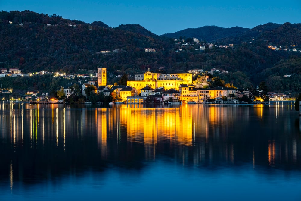
17 Largest Natural Lakes in the American Midwest
The Midwest isn’t just farmland and small towns. This region holds some of the most impressive bodies of water in North America, with lakes so big they look like oceans from the shore.
These natural wonders have shaped the landscape, influenced weather patterns, and provided homes for countless communities over thousands of years. Here are the giants that define the watery heart of America’s middle.
Lake Superior

This monster of a lake earns its name in every way possible. Lake Superior covers 31,700 square miles and holds more water than all the other Great Lakes combined.
The lake runs so deep in spots that it reaches 1,332 feet, making it cold enough to preserve shipwrecks in near-perfect condition. Three U.S. states and one Canadian province share its shores, and the water stays chilly even in summer.
Lake Michigan

The only Great Lake that sits entirely within U.S. borders stretches across 22,404 square miles. Lake Michigan touches four states and supports major cities like Chicago and Milwaukee along its coastline.
The lake creates its own weather systems, dumping heavy snow on eastern shores during winter. Sailors respect this water because storms can kick up waves over 20 feet high in minutes.
Lake Huron

Huron ranks as the third largest Great Lake with 23,007 square miles of surface area. The lake contains over 30,000 islands, including Manitoulin Island, which holds the title of largest freshwater island in the world.
Georgian Bay juts into the lake’s northeastern section, creating a nearly separate body of water. Shipwreck hunters love Huron because its clear, cold water preserves hundreds of sunken vessels.
Lake Erie
The shallowest of the Great Lakes might only reach 210 feet at its deepest point, but it still covers 9,910 square miles. Erie’s shallow depth means it warms up faster than its siblings, making it perfect for swimming and beach activities.
The lake supports a huge fishing industry and produces more fish than any other Great Lake. Winter freezes Erie more completely than the other Great Lakes, sometimes creating solid ice bridges.
Lake of the Woods

This oddly shaped lake straddles the border between Minnesota, Ontario, and Manitoba. Lake of the Woods covers about 1,679 square miles and contains over 14,000 islands.
The lake formed from ancient glacial activity that left behind a jagged, irregular shoreline. Fishermen travel from across the country to catch walleye, northern pike, and musky in these waters.
Red Lake

Minnesota’s Red Lake splits into two sections called Upper Red Lake and Lower Red Lake, covering 288,800 acres total. This lake belongs entirely to the Red Lake Band of Chippewa Indians, making it one of the few closed reservation lakes in the United States.
Red Lake’s waters support a valuable walleye fishery that the tribe manages carefully. The lake sits in a flat, marshy area that freezes solid each winter.
Rainy Lake
Rainy Lake spreads across 360 square miles along the Minnesota-Ontario border. The lake earned its name from the nearby Rainy River, which French voyageurs called ‘Lac à la Pluie’ because of frequent rainfall.
Voyageurs National Park protects much of the American shoreline, keeping the area wild and pristine. Over 1,600 islands dot the lake’s surface, creating endless exploring opportunities for boaters.
Lake Winnebago

Wisconsin’s Lake Winnebago covers 137,700 acres, making it the state’s largest lake. The lake sits relatively shallow, averaging just 15 feet deep across most of its area.
This shallow depth makes Winnebago one of the best ice fishing destinations in America during winter. Several cities including Oshkosh and Fond du Lac grew along its shores.
Mille Lacs Lake
This nearly circular lake in central Minnesota spans 132,516 acres. Mille Lacs sits in a glacial depression left behind when ice sheets retreated thousands of years ago.
The lake reaches depths of 42 feet in its center but stays shallow around the edges. Native American bands hold treaty rights to fish these waters, just as their ancestors did for centuries.
Lake Pepin

Lake Pepin formed naturally where the Mississippi River widens to over two miles across. This 22-mile-long lake covers about 40 square miles along the Wisconsin-Minnesota border.
The Chippewa River dumps sediment that created a natural dam, backing up the Mississippi and forming the lake. Water skiing started on Lake Pepin in 1922 when Ralph Samuelson invented the sport here.
Leech Lake

Minnesota’s Leech Lake covers 112,000 acres and features an irregular shape with numerous bays and points. The lake got its unusual name from the abundance of leeches found in its shallow, weedy areas.
Leech Lake reaches depths of 150 feet in spots but averages much shallower across most areas. The Leech Lake Band of Ojibwe manages much of the surrounding land.
Lake Vermilion

This northeastern Minnesota lake stretches across 39,271 acres with over 1,200 miles of shoreline. Lake Vermilion twists and turns through rocky terrain, creating countless bays, channels, and islands.
The lake sits in the heart of an iron ore country, where mining shaped the region’s history. Crystal-clear water and excellent fishing make Vermilion a favorite destination for Minnesotans.
Big Stone Lake

Big Stone Lake runs for 26 miles along the Minnesota-South Dakota border but stays narrow, covering only 12,610 acres. This long, skinny lake occupies an ancient riverbed carved by glacial meltwater.
The Minnesota River begins at the southern end of Big Stone Lake. Despite its modest size, the lake creates beautiful scenery with steep valley walls rising from both shores.
Devil’s Lake

Wisconsin’s Devil’s Lake covers just 360 acres but deserves mention for its unusual geology. This lake sits in a deep quartzite gorge with 500-foot bluffs rising from the water.
No rivers flow in or out, making Devil’s Lake completely isolated. The lake formed when glacial debris blocked both ends of an ancient river gorge.
Lake Kabetogama

Kabetogama is one among four lakes inside Voyageurs National Park, stretching across 25,760 acres. Flowing into neighboring routes via Namakan Lake, it opens pathways perfect for boats and anglers alike.
In Ojibwe, its name translates to ‘the lake that lies parallel,’ shaped by its alignment near Rainy Lake. Thick pine forests rise on scattered islands while rugged edges outline the shoreline – each feature adding rawness typical of remote northern waters.
Namakan Lake
Deep waters lap at jagged islands where silence settles heavier on Namakan Lake. Twenty-four thousand three hundred acres stretch under open sky inside Voyageurs National Park, spilling northward into Ontario.
A slender passage links it to Rainy Lake, once traveled by traders long ago. Smallmouth bass thrive below the surface here, drawn to rugged drop-offs and cool depths.
Fewer people come compared to busier lakes across the region, leaving space undisturbed.
Lac qui Parle

A stretch of water in Minnesota spreads across 13,500 acres within the river valley carved by the Minnesota River. The name Lac qui Parle comes from French words meaning ‘the lake that speaks,’ given because sound bounces oddly through the nearby hills.
Instead of forming naturally at its current size, the lake grew larger when engineers added a dam during the 1930s. Every autumn and spring, countless birds on the move pause their journey here, filling the skies and reeds around the shoreline.
Because so many species pass through, people often come just to watch them fly, feed, or rest.
Where water still rules
Nowhere else do bodies of water hold such steady influence over a landscape. Though ancient in origin, these inland seas still guide how people live from one state to the next.
Because Indigenous communities relied on them long before others arrived, their legacy runs deep. Freight moves steadily across open stretches where canoes once traveled.
People come in waves to walk the beaches, drawn by something hard to name. Time folds here – the ice that formed them is gone, yet their power stays.
Even highways bend around what only water links so completely.
More from Go2Tutors!

- The Romanov Crown Jewels and Their Tragic Fate
- 13 Historical Mysteries That Science Still Can’t Solve
- Famous Hoaxes That Fooled the World for Years
- 15 Child Stars with Tragic Adult Lives
- 16 Famous Jewelry Pieces in History
Like Go2Tutors’s content? Follow us on MSN.