17 River Islands Shared by Two Nations
Rivers don’t respect political boundaries, and neither do the islands they create. Throughout history, waterways have shifted course, leaving behind patches of land that complicate international borders in fascinating ways.
These river islands often become diplomatic puzzles — two countries claiming ownership or sharing jurisdiction over the same piece of earth. When nature decides to drop land in the middle of a border river, governments have to figure out who gets what.
Sometimes it’s messy. Here’s a list of 17 river islands that find themselves caught between two nations, each with their own unique story of shared sovereignty or territorial disputes.
Märket Island
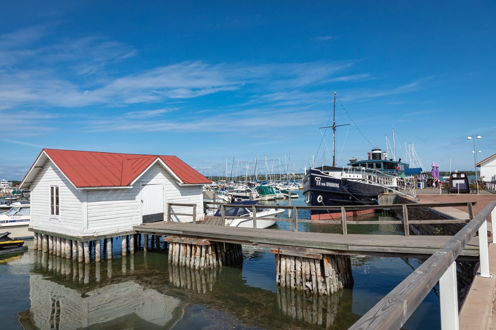
This tiny rocky outcrop sits in the Baltic Sea between Finland and Sweden, though it’s technically in an archipelago rather than a river. The island gained fame for having one of the world’s most unusual international borders.
When Finland built a lighthouse on what they thought was their side in 1885, they accidentally constructed it on Swedish territory — leading to a border adjustment that created a zigzag line across the 0.8-acre island. Pretty embarrassing mistake.
Zhenbao Island
Located in the Ussuri River between China and Russia, this small island became the center of a major military conflict in 1969. The dispute over Zhenbao Island (called Damansky by Russians) led to armed clashes that nearly escalated into full-scale war between the two nuclear powers.
Today, China controls the island after Russia transferred it as part of border agreements in the early 2000s. Diplomacy eventually won out over warfare.
Pheasant Island
This tiny island in the Bidassoa River between France and Spain has the unique distinction of changing hands every six months. For over 350 years, the two countries have shared custody of the 200-yard-long island in a peculiar arrangement that makes it the world’s smallest condominium.
The island alternates between French and Spanish administration — with ceremonies marking each transfer of power. It’s like joint custody, but for countries.
Turtle Island
Sitting in the Niagara River between the United States and Canada, Turtle Island is officially American territory yet remains largely undeveloped. The island provides a clear view of Niagara Falls. It’s been the subject of various development proposals over the years, though none have come to fruition.
Despite its proximity to the Canadian shore, international law clearly places it within U.S. borders.
Grand Island
This larger island in the Niagara River belongs entirely to the United States — specifically New York State — despite being surrounded by waters that form the international boundary. The island spans about 28 square miles. Houses several communities, bridges, and parks too.
Its position in the middle of the international waterway makes it a notable example of how river geography can create clear territorial divisions.
Ile aux Noix

Located in the Richelieu River between Quebec and Vermont, this island has a rich military history dating back to French colonial times. The island served as a strategic fortification, changing hands multiple times between French, British, and American forces.
Today, it belongs to Canada and operates as a historic site — though its position near the border makes it a point of historical interest for both nations. War museums don’t care about current boundaries.
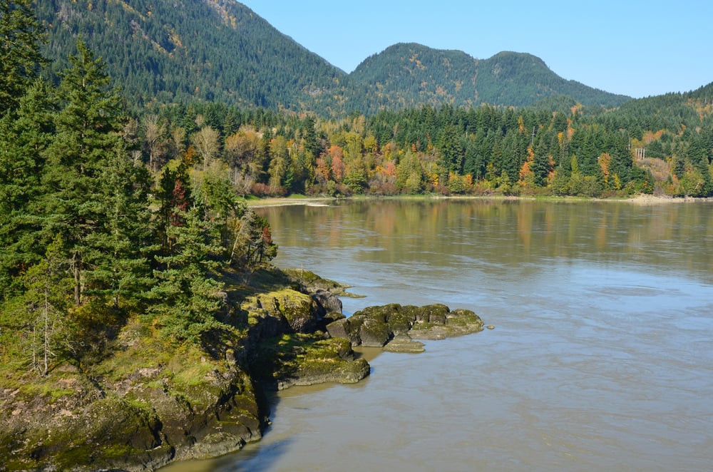
Roosevelt Island
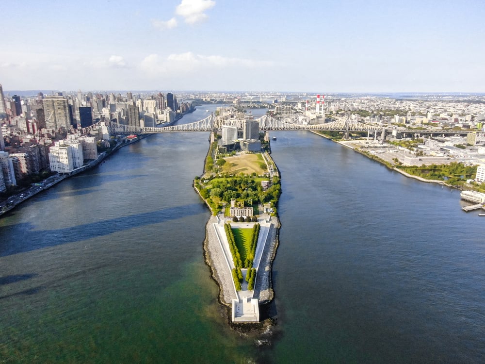
Not to be confused with the New York City island, this Roosevelt Island sits in the Columbia River between Washington and Oregon states. While both are U.S. states rather than separate nations, the island demonstrates how river boundaries can create interesting jurisdictional questions.
The island belongs to Washington despite being closer to the Oregon shore — geography doesn’t always make sense when it comes to ownership.
Navy Island

This island in the Niagara River played a crucial role in the 1837 Rebellions in Upper Canada. American sympathizers used the island as a base to support Canadian rebels, leading to the famous Caroline Affair.
The island remains Canadian territory, yet its history illustrates how river islands can become flashpoints in international relations. Small places can cause big problems.
Kettle Island
Located in the St. Croix River between Maine and New Brunswick, this small island became part of important boundary negotiations between the United States and Britain. The island’s position helped determine the larger border between the two countries in the early 19th century — cartographers used it as a reference point.
Today it serves as a quiet reminder of how geographic features shape international boundaries.
Carleton Island
Sitting in the St. Lawrence River between New York and Ontario, this island has switched hands between nations multiple times throughout history. Originally fortified by the British, it became American territory after the Revolutionary War — though it retained strong ties to Canada.
The island’s strategic position made it valuable for controlling river traffic between the Great Lakes and the Atlantic. Control the island, control the trade route.
Chimney Island

This small island in the St. Lawrence River near the Thousand Islands region belongs to the United States but sits very close to Canadian waters. The island’s position demonstrates how the complex geography of the St. Lawrence creates numerous boundary situations.
Despite its modest size, it represents the intricate nature of river borders in this densely island-filled waterway.
Horse Island

Located in the St. John River between Maine and New Brunswick, this island sits right at the border between the two countries. The island’s ownership has been clearly established as belonging to New Brunswick, but its position in the middle of the boundary river makes it a notable border landmark.
Local residents on both sides of the river have historical connections to the island.
Williams Island
This island in the Columbia River between Washington and Oregon showcases how river boundaries can create jurisdictional puzzles even within the same country. While both states are part of the United States, the island’s ownership demonstrates the principles that apply to international river boundaries.
The island belongs to Washington despite being accessible primarily from Oregon.
Deas Island
Situated in the Fraser River in British Columbia, this island sits near the U.S.-Canada border though it belongs entirely to Canada. The island has been developed into a regional park and demonstrates how river islands near international boundaries can become valuable recreational spaces.
Its proximity to the border makes it easily accessible to residents of both countries.
Bradford Island
Located in the Columbia River between Washington and Oregon, this island houses important hydroelectric facilities that serve both states. The island’s infrastructure shows how river islands can become crucial for shared resources and utilities.
Despite being in the middle of the river, the island’s facilities require cooperation between jurisdictions on both sides.
Sand Island
This island in the Columbia River sits near the mouth where it meets the Pacific Ocean, close to the Washington-Oregon border. The island serves as a wildlife refuge and demonstrates how river islands can become important ecological preserves.
Its position near the state boundary makes it significant for regional environmental planning.
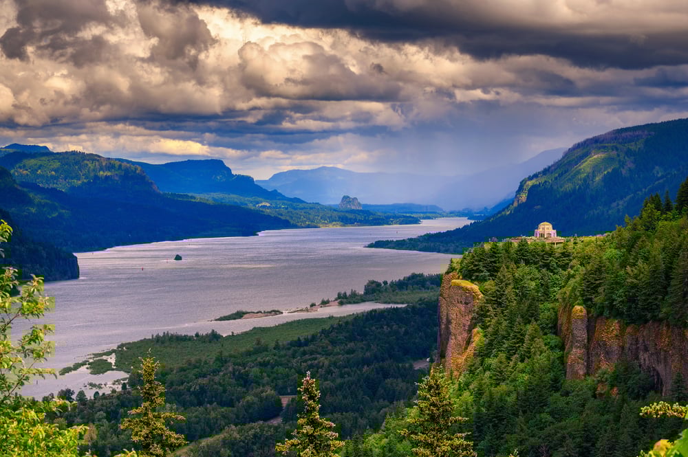
Government Island

Positioned in the Columbia River near Portland, this island straddles the boundary between Washington and Oregon. The island’s name reflects its historical use for government purposes, and its location demonstrates how river islands can serve administrative functions for multiple jurisdictions.
Today it serves various public purposes that benefit residents of both states.
Where Rivers Meet Politics
These river islands remind us that nature doesn’t care about human boundaries, but humans certainly care about nature’s boundaries. Whether they’re causing international incidents or quietly hosting wildlife refuges, these islands show how geography and politics intertwine in unexpected ways.
Each island tells a story of how people adapt to the landscapes they inherit — creating unique solutions for shared spaces that no map maker originally planned for. The next time you see a river meandering between countries, remember that somewhere along its path, there might be a small island that two nations call home.
These patches of land prove that sometimes the most interesting places are the ones that don’t quite fit into anyone’s neat categories.
More from Go2Tutors!

- The Romanov Crown Jewels and Their Tragic Fate
- 13 Historical Mysteries That Science Still Can’t Solve
- Famous Hoaxes That Fooled the World for Years
- 15 Child Stars with Tragic Adult Lives
- 16 Famous Jewelry Pieces in History
Like Go2Tutors’s content? Follow us on MSN.