18 Roads That Lead to Nowhere on Purpose
Deep in the Kansas prairie sits a road that ends at what was once considered the most important spot in America. Meades Ranch served as the geodetic center of North America from 1901 to 1983, meaning every map in the continent used this precise location as its reference point.
The road leads to a simple stone marker in the middle of farmland, but cartographers from across the world once made pilgrimages here. Today, GPS satellites have made this location obsolete, yet the road remains as a monument to humanity’s quest to measure and understand our world.
Alaska’s Dalton Highway Extension
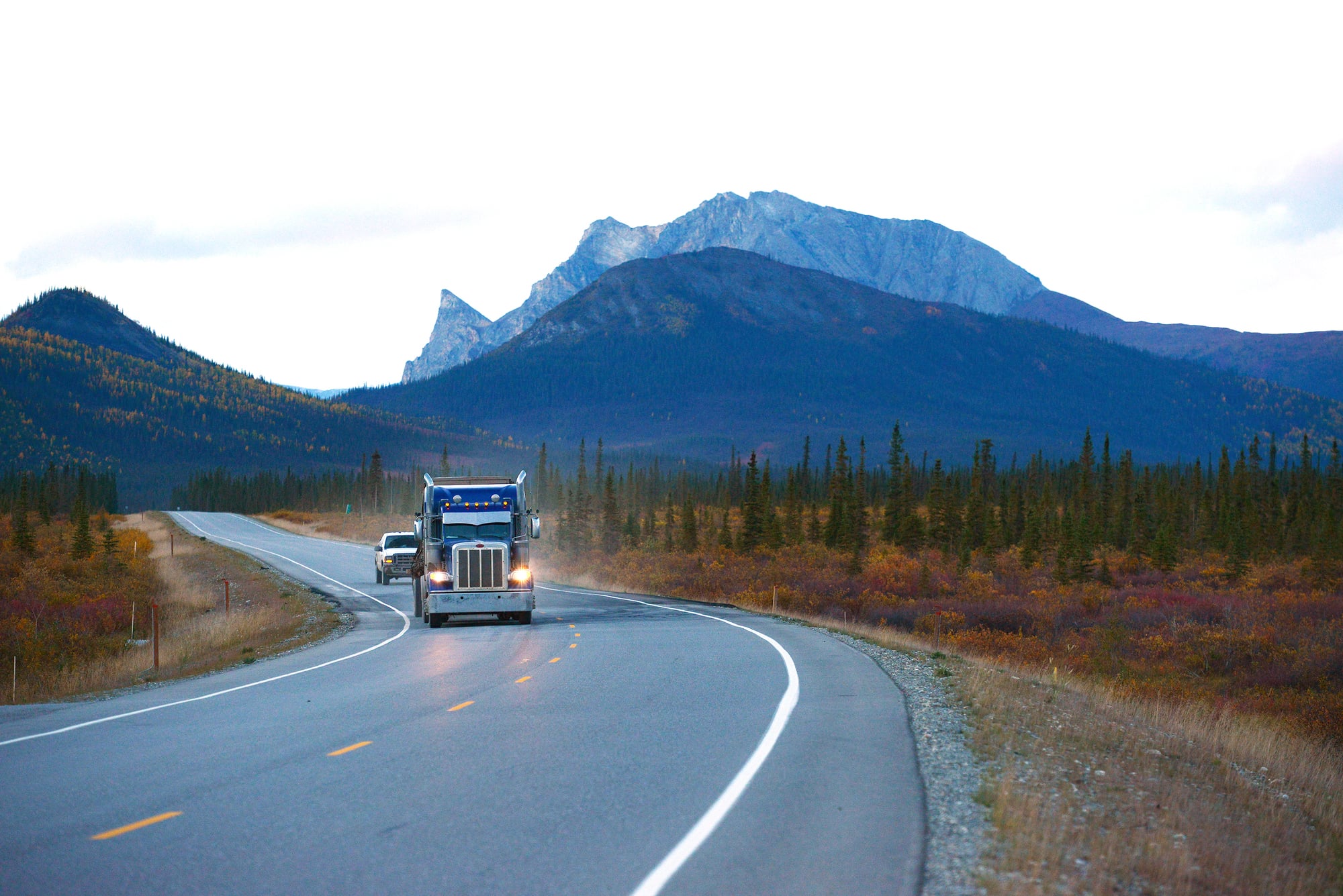
The Dalton Highway officially ends at Deadhorse, Alaska, but there’s an additional stretch that continues north toward the Arctic Ocean before simply stopping in the tundra. This extension was built during oil pipeline construction but was never completed due to environmental concerns and extreme engineering challenges.
The road literally ends where the permafrost made further construction impossible, creating one of the most remote dead ends on Earth. Arctic foxes and caribou now use this abandoned stretch as a convenient pathway through otherwise trackless wilderness.
California’s Nowhere Road
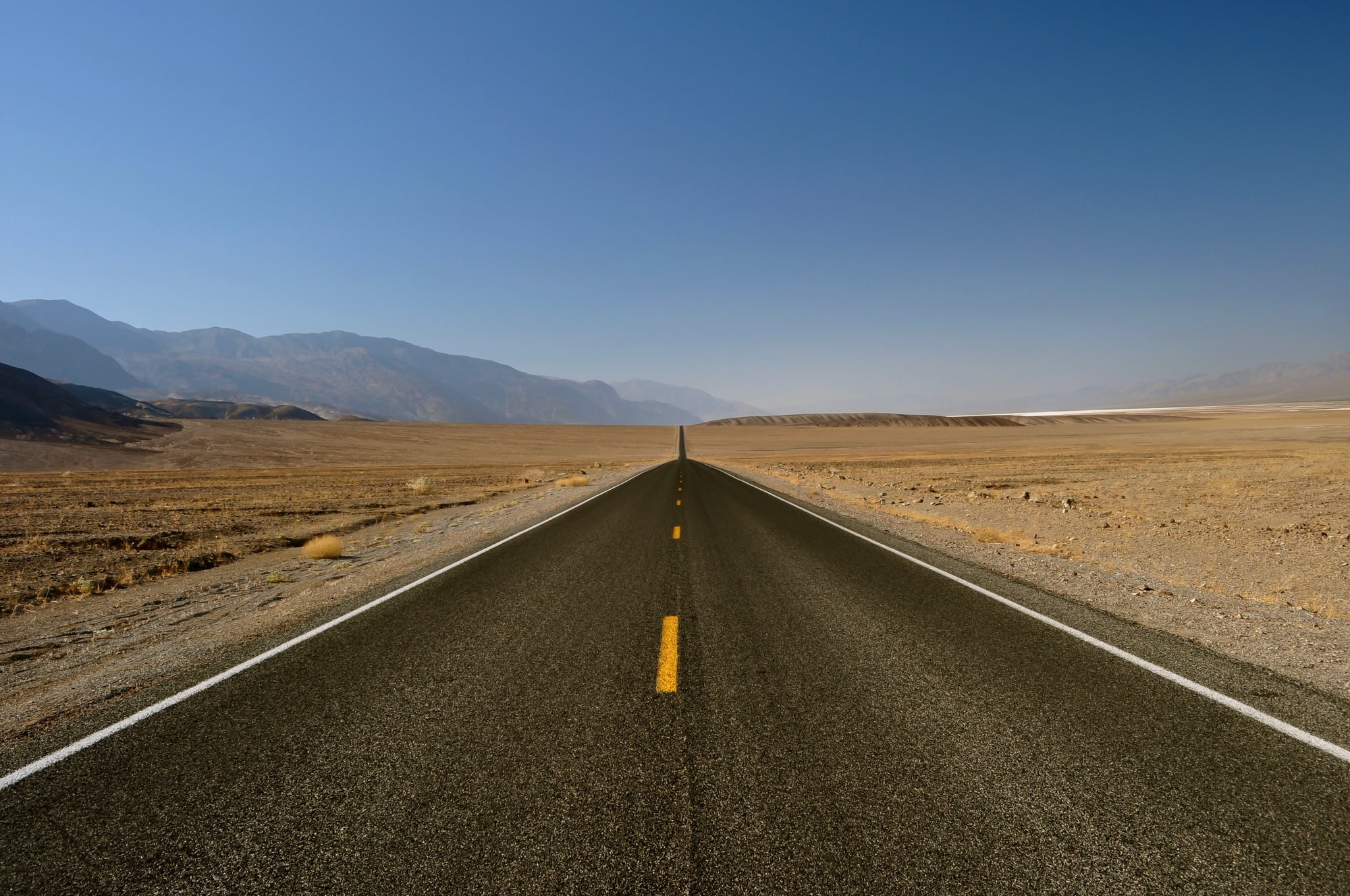
In the Mojave Desert, a perfectly paved two-lane road stretches for several miles before ending abruptly at a chain-link fence. Built in the 1960s as part of a planned community that never materialized, the road was designed to connect to a network of streets in a desert city that existed only on paper.
When funding dried up and environmental regulations tightened, developers abandoned the project, leaving behind this surreal monument to optimistic planning. Desert wildlife has claimed the road, and it’s become an unlikely attraction for photographers seeking apocalyptic landscapes.
Like Go2Tutors’s content? Follow us on MSN.
Michigan’s Experimental Highway
Near the Upper Peninsula town of MichiGamme, engineers built a test road in the 1970s to study how different materials and construction techniques held up under harsh winter conditions. The road includes sections made from various concrete mixtures, asphalt formulations, and experimental additives, each carefully monitored for decades.
It ends at a research station where scientists continue to analyze how freeze-thaw cycles affect pavement longevity. This unglamorous stretch of highway has influenced road construction techniques across the northern United States.
Montana’s Going-to-the-Sun Extension
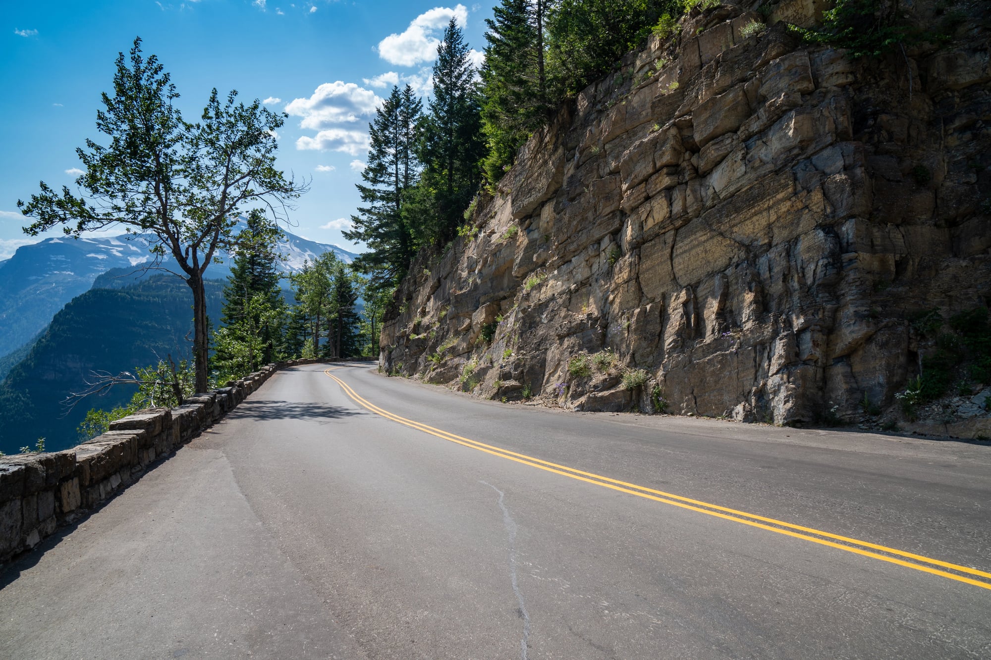
While the famous Going-to-the-Sun Road traverses Glacier National Park, there’s a lesser-known extension that was partially built but never completed due to budget constraints in the 1940s. This stub road climbs several thousand feet up a mountainside before ending at an overlook that offers spectacular views but serves no transportation purpose.
Park rangers originally intended it to connect with another mountain pass, but World War II redirected resources elsewhere. The incomplete road now serves as a hiking trail and reminds visitors of the park’s ambitious early development plans.
New Mexico’s Trinity Site Access Road
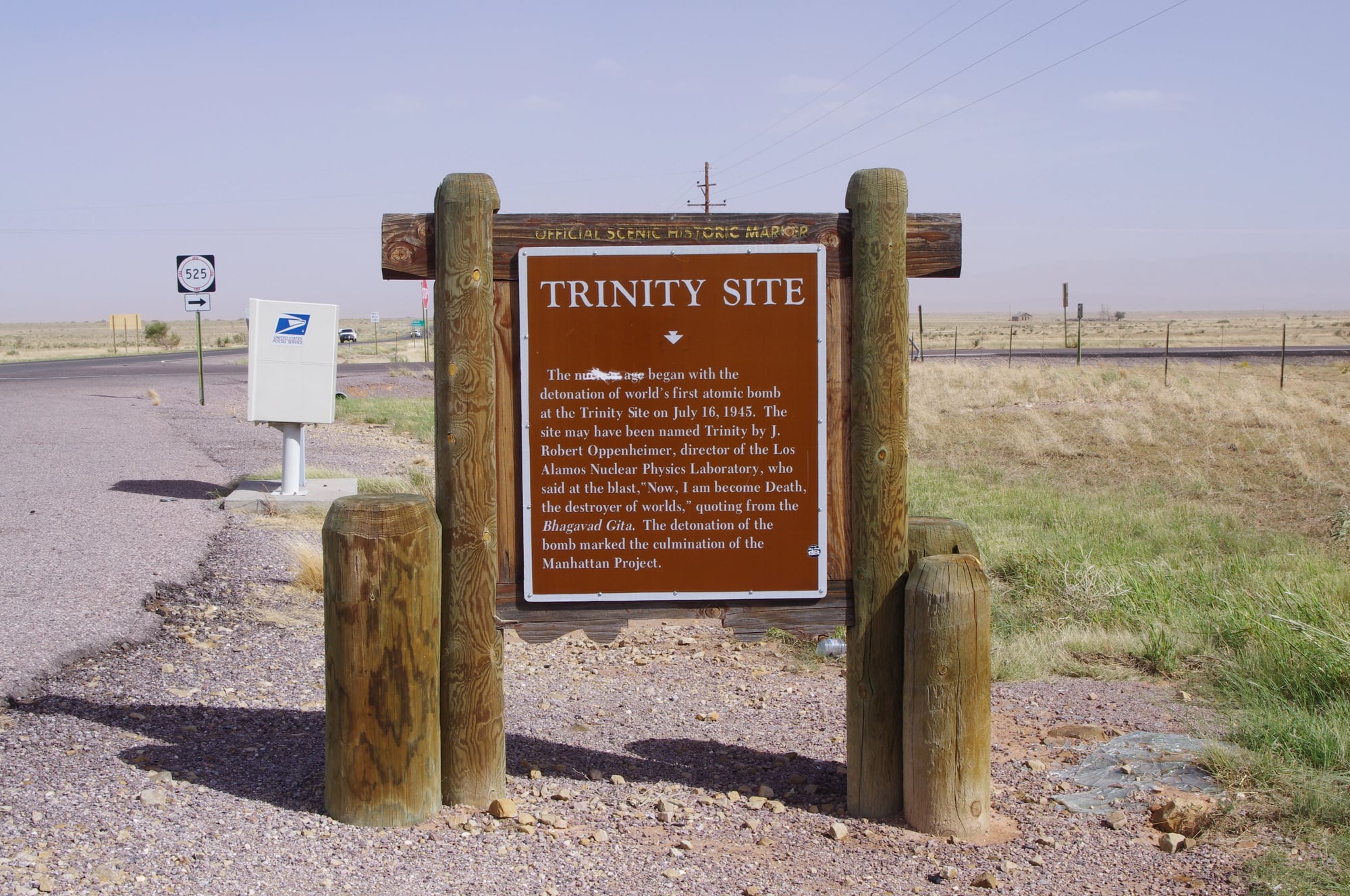
A restricted government road leads to the site where the world’s first atomic bomb was tested in 1945. The road is maintained by the military but is only open to the public twice per year, and even then, visitors must turn around and leave after viewing the historic site.
The road exists solely to provide controlled access to this significant location while maintaining security around the White Sands Missile Range. When it’s closed, which is most of the time, the road truly leads nowhere that civilians can legally go.
Like Go2Tutors’s content? Follow us on MSN.
Florida’s Overseas Highway Ghost Extension
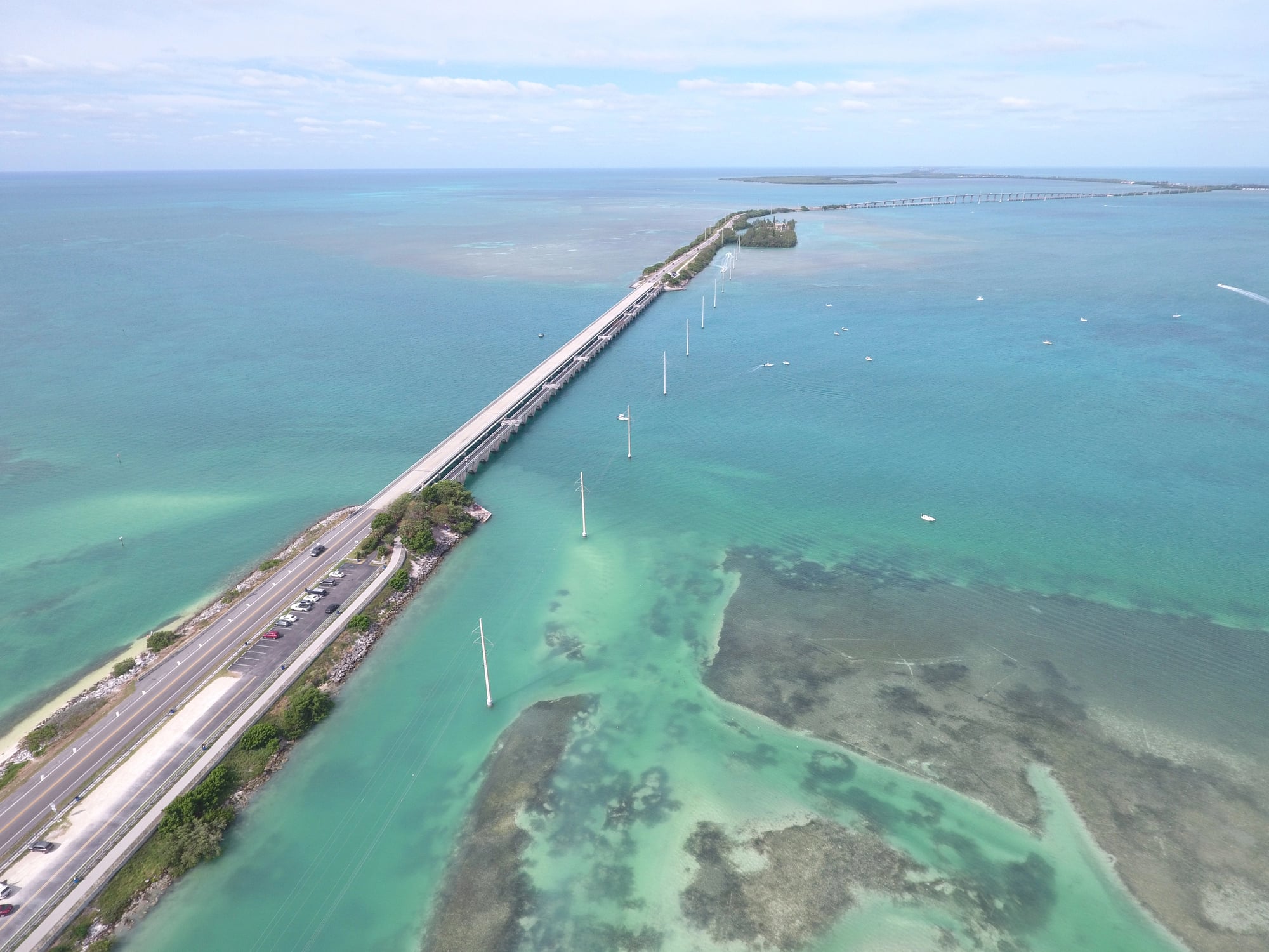
Beyond Key West, the southernmost point of the continental United States, there’s a partially built road extension that was intended to reach a proposed deep-water port on a nearby island. Construction began in the 1980s but was halted due to environmental lawsuits and engineering complications.
The road stub extends into the Gulf of Mexico on concrete pilings before ending abruptly in open water. Fishing enthusiasts now use it as an unusual pier, and it’s become a symbol of development projects that nature ultimately rejected.
Nevada’s Extraterrestrial Highway Dead End
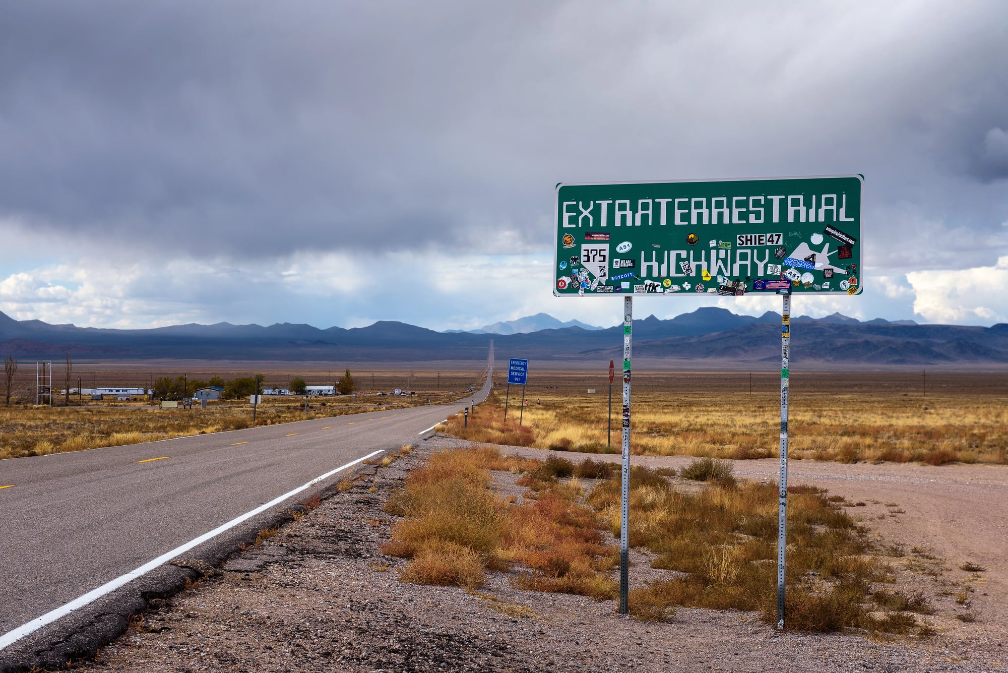
While the famous Extraterrestrial Highway (State Route 375) does connect towns, it also has a branch road that leads directly toward Area 51 before ending at heavily guarded military checkpoints. This road serves as a buffer zone, allowing curious UFO enthusiasts to drive as close as legally possible to the secretive military installation before being forced to turn around.
The road exists primarily to establish a clear boundary between public and restricted land while satisfying public curiosity about the mysterious base.
North Dakota’s Peace Garden Approach
Near the Canadian border, a ceremonial road leads to the International Peace Garden but ends at the actual boundary line where visitors must stop, turn around, or enter Canada through proper checkpoints. The road was built to showcase the peaceful relationship between the United States and Canada, but international law prevents it from actually crossing the border.
During winter months, when the park is closed, this becomes a road that literally leads to nowhere accessible.
Like Go2Tutors’s content? Follow us on MSN.
Tennessee’s Cades Cove Loop Extension
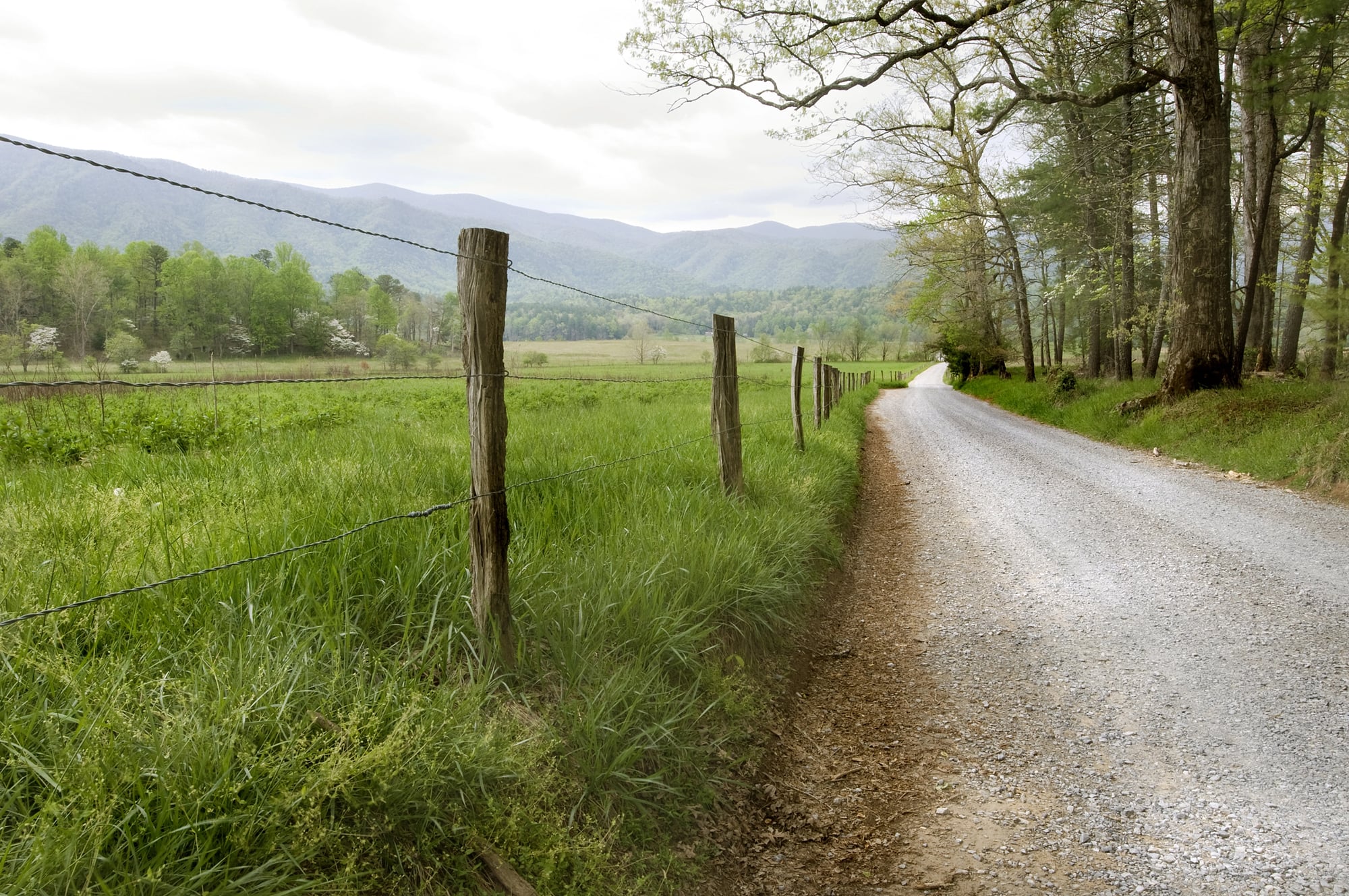
Inside Great Smoky Mountains National Park, there’s a spur road off the popular Cades Cove Loop that was built to access a proposed visitor center that was never constructed due to budget cuts in the 1970s. The road winds through beautiful forest for about two miles before ending at a clearing where the visitor center’s foundation was poured but never built upon.
Park officials decided to leave the road in place because removing it would cause more environmental damage than simply letting nature gradually reclaim it.
Washington’s Mount St. Helens Blast Zone Road
After the 1980 volcanic eruption, engineers built a road to provide access for scientific research in the devastated area around Mount St. Helens. The road purposefully ends at the edge of the blast zone to prevent further disturbance to the recovering ecosystem.
Scientists use this road to study how nature rebuilds itself after catastrophic events, but it serves no transportation purpose beyond reaching this unique outdoor laboratory. The road’s endpoint offers visitors a stark view of volcanic destruction and natural recovery happening simultaneously.
Arizona’s London Bridge Access Road
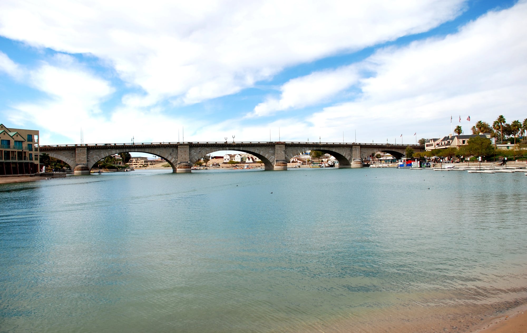
In Lake Havasu City, there’s a road that was built specifically to provide access to the famous London Bridge, which was purchased from England and reconstructed in the Arizona desert. However, the road continues past the bridge and ends at the artificial lake’s shore, serving no purpose other than completing the surreal experience of finding a piece of British history in the American Southwest.
The road’s existence emphasizes the bizarre nature of this transplanted landmark.
Like Go2Tutors’s content? Follow us on MSN.
Vermont’s Cold War Communications Road
During the Cold War, the military built a road to access a mountaintop communications facility designed to maintain government communications during a nuclear attack. When the facility was decommissioned after the Soviet Union’s collapse, the road was left in place but gated off from public access.
It now leads to abandoned concrete bunkers and rusted antenna arrays, serving as an inadvertent monument to Cold War paranoia. The road exists in a state of purposeful abandonment.
Utah’s Bonneville Speedway Service Road

A service road leads to the famous Bonneville Salt Flats where land speed records are attempted, but it ends at the edge of the salt pan where wheeled vehicles cannot safely travel. The road serves support crews during racing events but becomes essentially useless during the off-season when the salt flats are either flooded or too soft to support vehicles.
It’s a road that leads somewhere only during very specific conditions, making it functionally a road to nowhere most of the year.
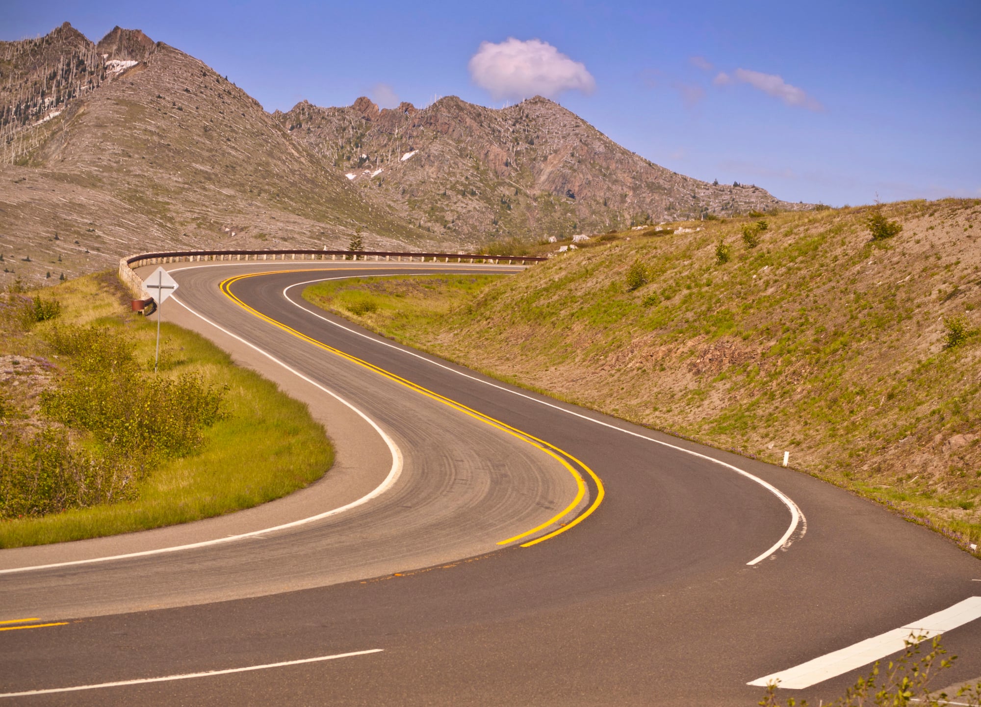
Oregon’s Crater Lake Rim Drive Stub
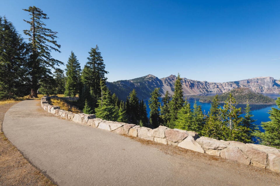
An unfinished section of Crater Lake’s Rim Drive was started in the 1960s but never completed due to unstable volcanic soil and environmental concerns. This road stub extends partway around the crater before ending at a viewpoint that’s actually superior to many completed sections of the rim drive.
Park officials decided the engineering challenges and environmental impact weren’t worth completing the connection, leaving visitors with a road that provides excellent views but goes nowhere.
Like Go2Tutors’s content? Follow us on MSN.
Hawaii’s Mauna Kea Access Road Extension
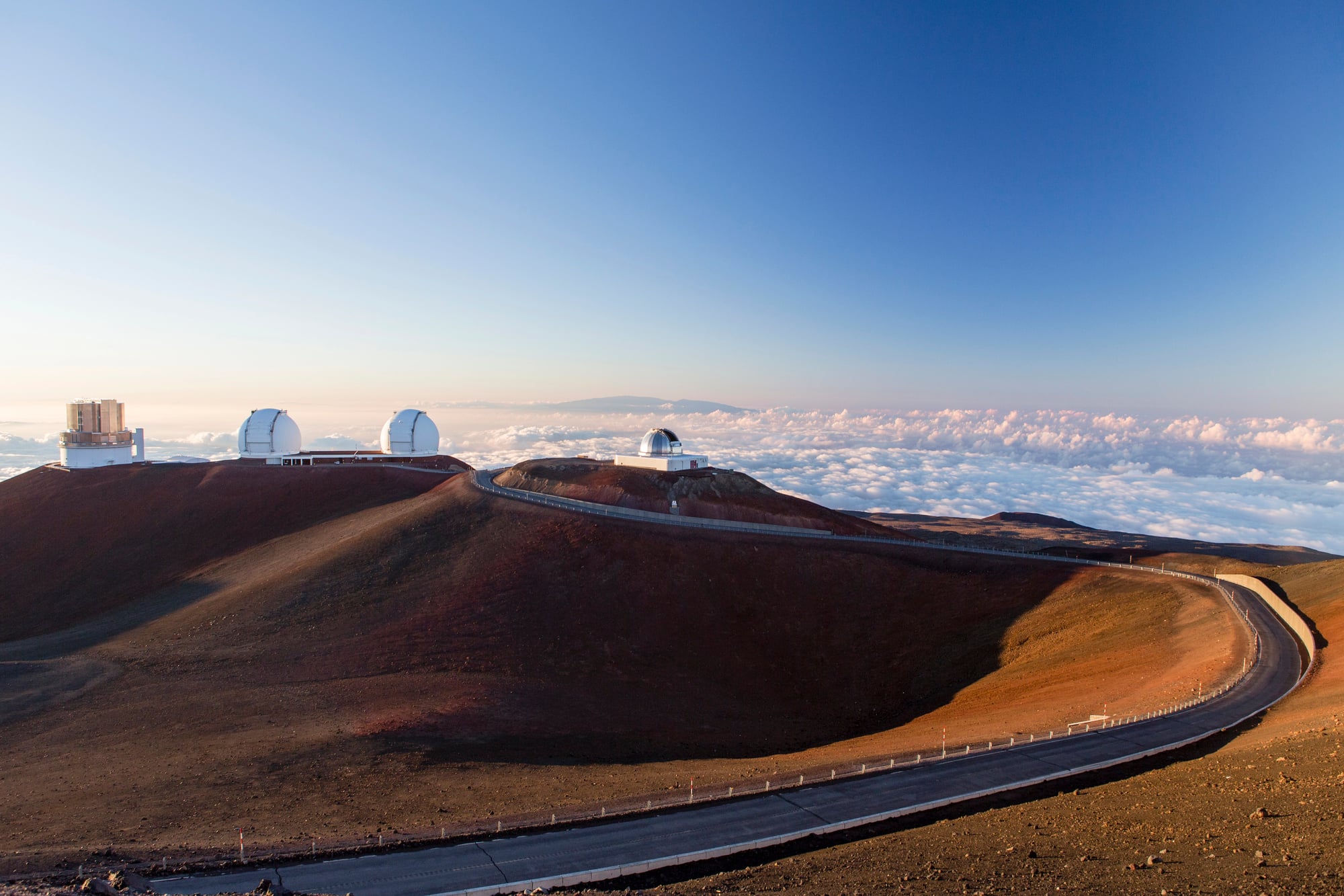
Beyond the summit observatories on Mauna Kea, there’s a rough road extension that leads toward the true summit of the mountain but ends before reaching it. Built for scientific access, the road stops short of the summit to preserve the cultural and spiritual significance of the peak for Native Hawaiians.
The road exists in a state of respectful incompletion, acknowledging that some places are more important for their symbolic value than their accessibility.
Alaska’s End of the World Highway
The Steese Highway north of Fairbanks officially ends at the town of Circle, but there’s an unofficial extension that continues north before petering out in the wilderness. Built by miners in the early 1900s, this road extension was intended to reach the Arctic Ocean but was abandoned when the gold rush ended.
The road gradually deteriorates as it extends north, eventually becoming indistinguishable from the surrounding tundra, creating a literal example of a road that fades into nowhere.
Colorado’s Continental Divide Research Road
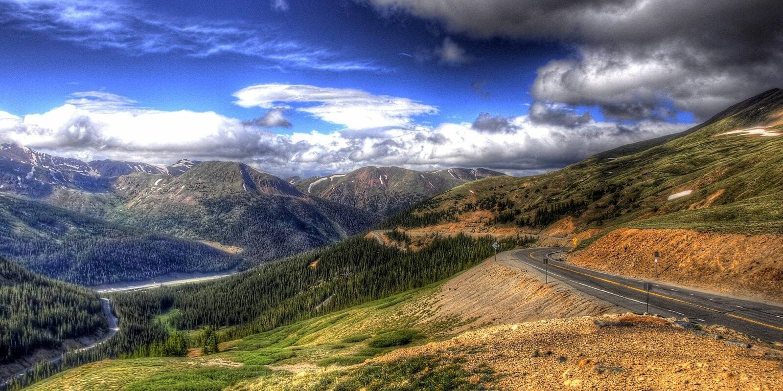
High in the Rocky Mountains, researchers built a road to access weather monitoring stations and atmospheric research facilities along the Continental Divide. The road ends at an elevation where the growing season is too short and conditions too harsh for any practical development.
It serves a small community of scientists and weather observers but leads nowhere that most people would want to live or visit regularly. The road represents humanity’s desire to understand our planet even in the most inhospitable locations.
Like Go2Tutors’s content? Follow us on MSN.
Where Purpose Meets Emptiness
These roads challenge our basic assumptions about transportation infrastructure and reveal the complex motivations behind human construction projects. Whether built for science, security, abandoned dreams, or environmental protection, each represents a different aspect of how we interact with our landscape.
They remind us that sometimes the most interesting destinations are the ones we can’t actually reach, and that a road’s value isn’t always measured by where it takes us, but by why it exists in the first place.
More from Go2Tutors!

- 18 Unexpectedly Valuable Collectibles You Might Have Lying Around
- 20 Little-Known Historical Battles That Had Huge Consequences
- 20 Historical Artifacts That Scientists Can’t Explain
- 15 Inventions That Were Immediately Banned After Being Created
- 20 Actors Who Were Almost Cast in Iconic Roles
Like Go2Tutors’s content? Follow us on MSN.