24 Maps From The Past That Show Countries Nobody Alive Today Would Recognize
Pull up a map of the world from 1910, and the difference is immediately disorienting. Much of Africa is shaded in European imperial colours. Vast stretches of the Middle East are still Ottoman. Central Europe is ruled by a dual monarchy that nobody who wasn’t paying close attention could define. The United States looks recognisable, but something is wrong — the names are off in the Pacific, the Caribbean, and the Philippines. Every generation of maps disagrees with the one before it, and the disagreements get stranger the further back you go.
These twenty-four entries aren’t just vanished countries. Each one tells you something specific about how borders get drawn, who benefits from them, and how quickly the things on maps that look permanent turn out not to be.
The Ottoman Empire At Its Peak
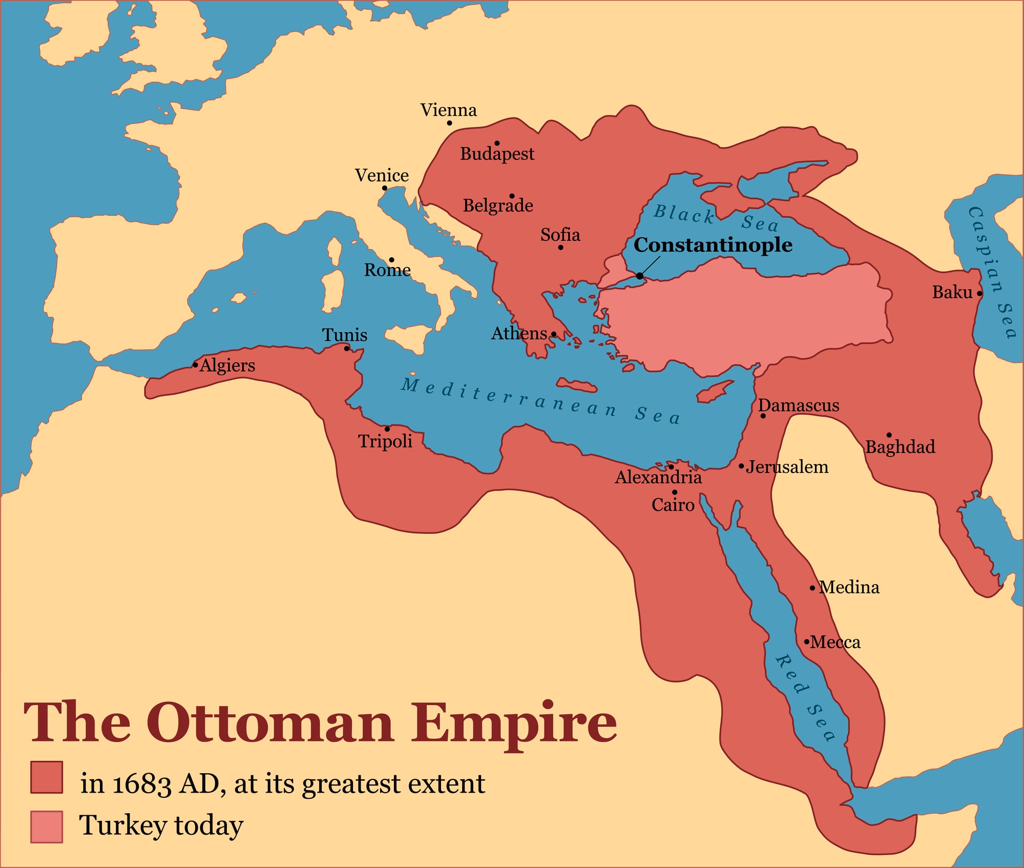
A map of the Ottoman Empire in the late 16th century shows a single administrative entity stretching from Algeria and Egypt across the entire Middle East, up through Anatolia, across the Balkans to the gates of Vienna, and south through the Hejaz to the holiest cities of Islam. It is, on paper, the political heir to Rome and Byzantium simultaneously — which is roughly what the sultans claimed.
The empire lasted 623 years, making it one of the longest-lived states in recorded history, and when it finally dissolved after World War I, the borders drawn from its wreckage by the Sykes-Picot Agreement and subsequent treaties produced the map of the modern Middle East — including every conflict currently associated with it.
Austria-Hungary
The Austro-Hungarian Empire on a pre-1918 map shows a dual monarchy governing a patchwork of at least eleven major national and linguistic groups — Germans, Hungarians, Czechs, Poles, Croats, Slovaks, Slovenes, Serbs, Romanians, Italians, and Ukrainians — held together by a common emperor and an increasingly strained administrative compromise that had been patched and re-patched since 1867.
The empire’s collapse in 1918 after World War I produced Austria, Hungary, Czechoslovakia, Yugoslavia, and significant territorial additions to Poland, Romania, and Italy. It is the single most consequential dissolution of the 20th century in terms of the number of new states it created.
Prussia
On a late 18th-century map, Prussia appears as a disjointed collection of territories spread across what is now northern Germany and Poland, connected not by continuous land but by the military power and administrative efficiency of the Hohenzollern dynasty.
By the mid-19th century it had unified the German states under its leadership, creating the German Empire. Prussia was formally abolished by Allied decree on 25 February 1947 — one of the few times in history that an existing state has been legally dissolved by external powers rather than collapsed or transformed on its own terms.
The territory it occupied is now divided between Germany, Poland, Russia, Lithuania, Belgium, and Denmark.
The Soviet Union
A 1980 map of the Soviet Union shows a single country covering 22.4 million square kilometres across 11 time zones — the largest country ever to have existed, stretching from the Baltic to the Pacific.
It contained within its borders what are now 15 independent nations: Russia, Ukraine, Belarus, Georgia, Armenia, Azerbaijan, Kazakhstan, Uzbekistan, Turkmenistan, Tajikistan, Kyrgyzstan, Moldova, Estonia, Latvia, and Lithuania.
Its dissolution in December 1991 happened faster than almost any informed observer had predicted possible, with the Supreme Soviet voting itself out of existence on Christmas Day while Mikhail Gorbachev resigned and handed over the Soviet nuclear codes.
Yugoslavia
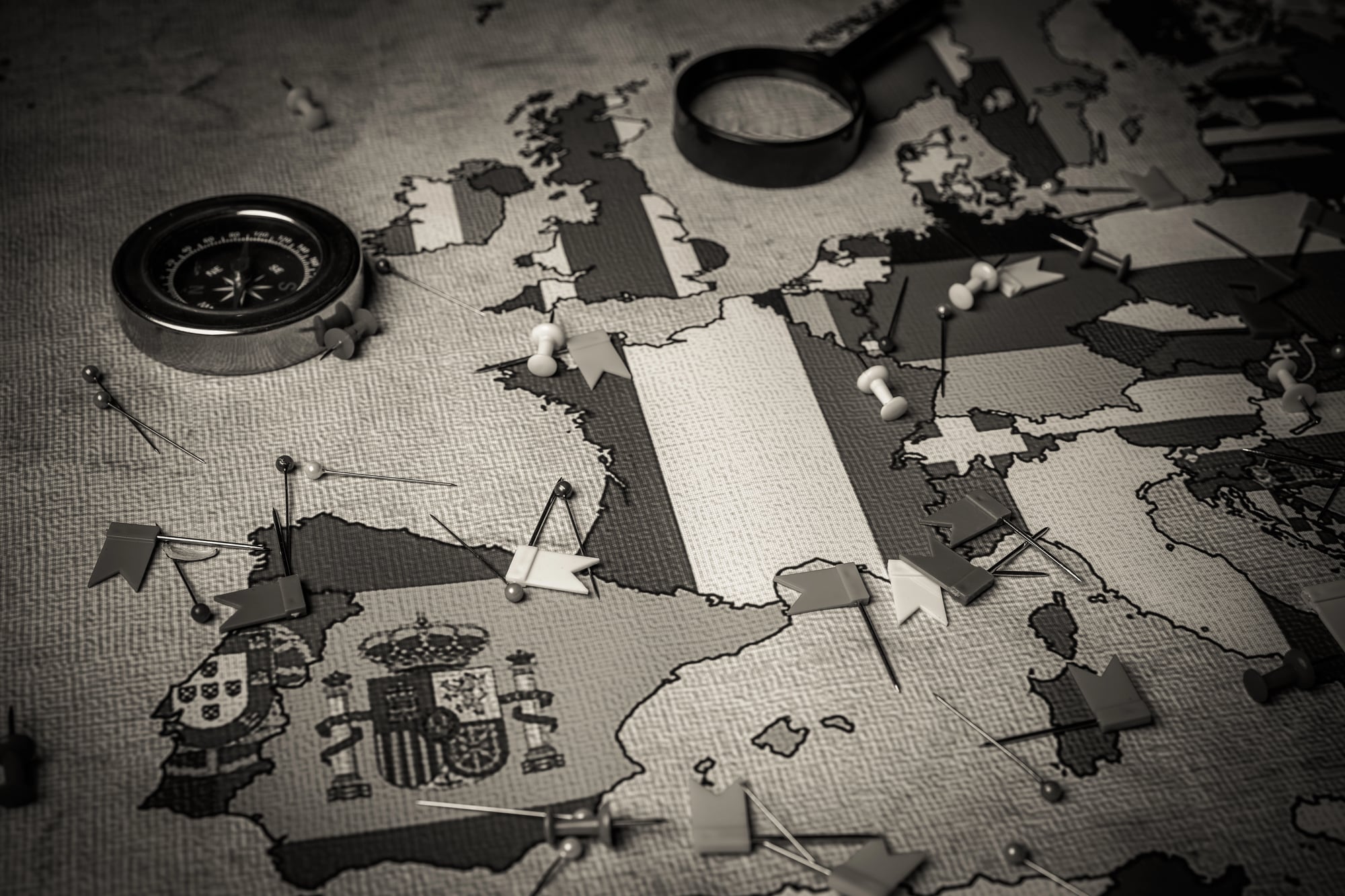
A map of Yugoslavia in 1960 shows the kind of thing that, in retrospect, seems implausible: a single functioning socialist state on the Adriatic coast containing what are now Slovenia, Croatia, Bosnia and Herzegovina, Serbia, Montenegro, North Macedonia, and Kosovo.
Under Josip Broz Tito, the country managed to sit outside both the NATO and Warsaw Pact blocs, develop its own form of market socialism, and maintain a genuine tourist economy. It was also sitting on ethnic and religious tensions that Tito managed through personal authority and force.
After his death in 1980, those tensions had a decade to accumulate before the wars of the 1990s, which killed over 140,000 people and produced seven countries from what had been one.
Czechoslovakia
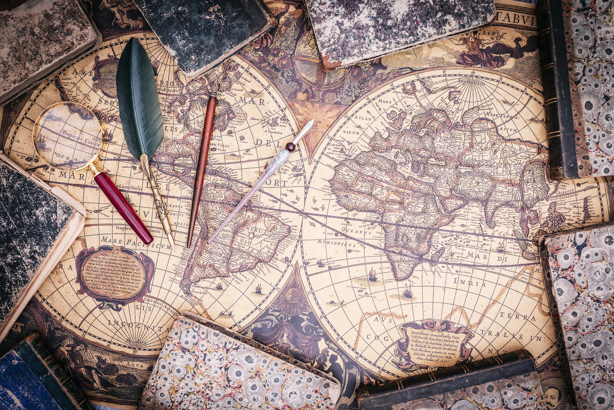
A pre-1993 map of Czechoslovakia shows two regions — Bohemia and Slovakia — that had been joined after World War I to create a single state whose populations had different languages, different economic histories, and different political preferences.
When communism collapsed in 1989, it became increasingly clear that the two halves wanted different futures. The dissolution on 1 January 1993, known as the Velvet Divorce, was entirely peaceful and negotiated — no war, no referendum, just a parliamentary agreement between two governments who decided the arrangement had run its course after 74 years.
No living person today was alive when Czechoslovakia did not exist.
The Republic Of Texas
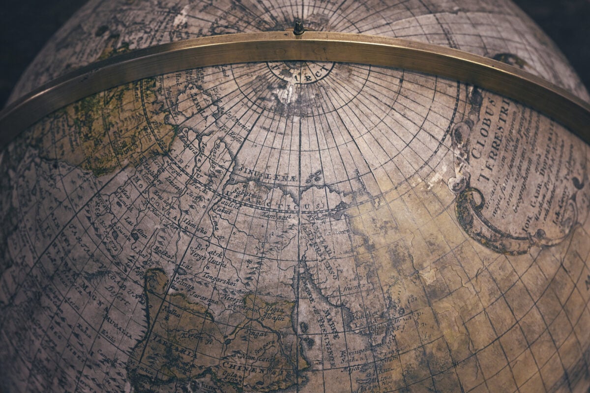
Between 1836 and 1845, Texas existed as an independent country — with its own president, its own currency, its own foreign embassies, and its own national debt.
The Republic of Texas was recognised as a sovereign state by France, the United Kingdom, the Netherlands, and Belgium before it was annexed by the United States. Its nine years of independence produced a map that is startling to anyone who assumes the Lone Star State has always been an American possession.
The Republic of Texas claimed territory that extended into what is now New Mexico, Colorado, Kansas, Oklahoma, and Wyoming, based on borders that were never fully accepted by Mexico.
The Kingdom Of Sikkim
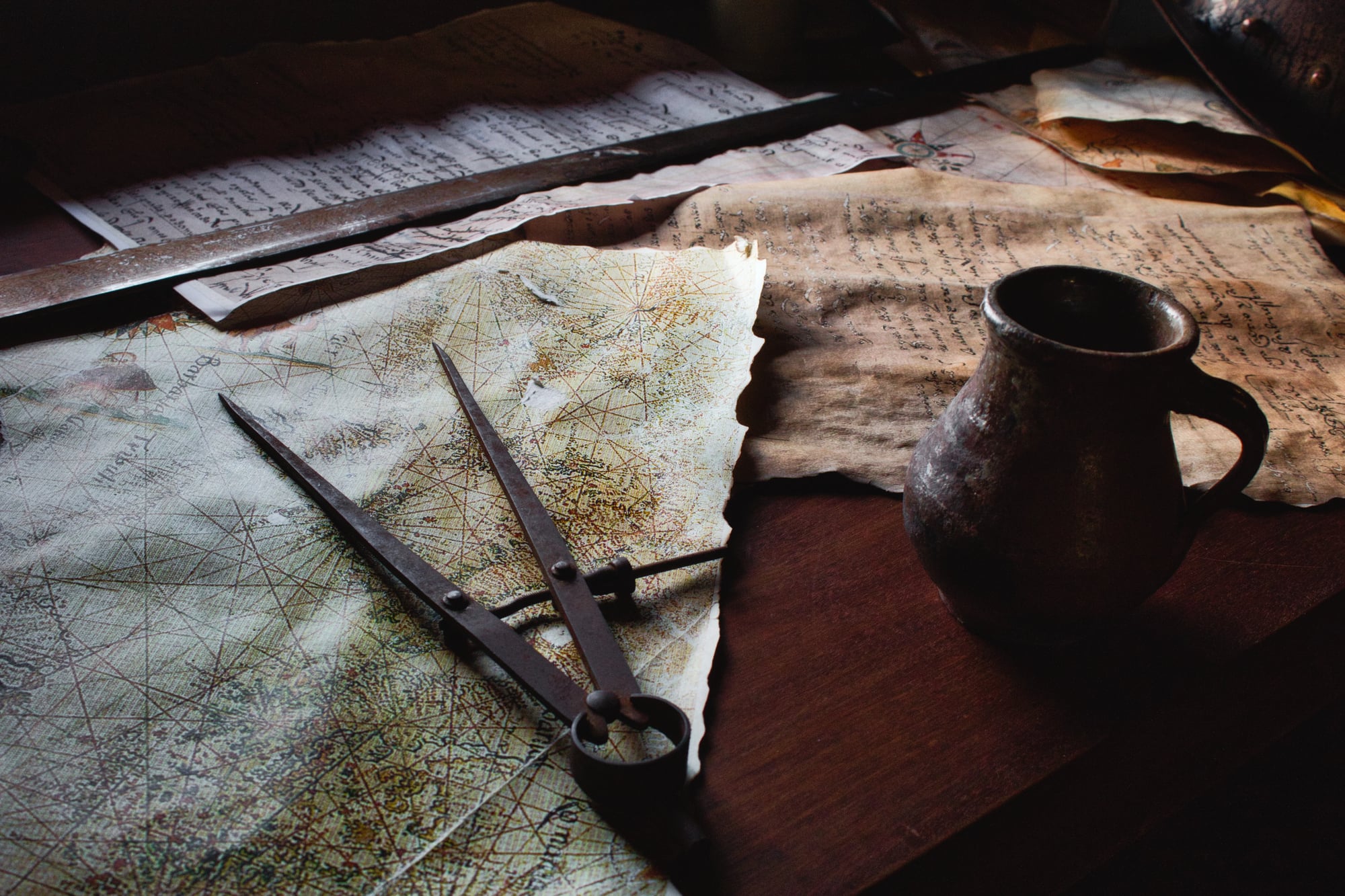
A pre-1975 map of the Himalayan region shows Sikkim as an independent Buddhist monarchy sandwiched between India, Nepal, Tibet, and Bhutan.
The kingdom had survived British colonialism as a protectorate and retained its sovereignty after Indian independence. In 1973, pro-India protests and political unrest led to Indian intervention, and a 1975 referendum — whose fairness is disputed by some historians — resulted in Sikkim’s abolition as a monarchy and absorption as India’s 22nd state.
Bhutan, in almost identical circumstances geographically and politically, survived as an independent kingdom. The difference between them, some historians have argued, was Bhutan’s more assertive diplomacy and the Sikkimese monarchy’s failure to secure international recognition before it was too late.
Neutral Moresnet
On a map from anywhere between 1816 and 1919, a tiny territory at the junction of what is now Belgium, Germany, and the Netherlands appears with the technically accurate label “Neutral.”
Neutral Moresnet was created because the Netherlands and Prussia couldn’t agree on which of them owned the territory, so they made it neither’s — a zinc-mining area that became a genuinely stateless zone with no taxes, no military service obligations, and, for a brief period in the early 20th century, an Esperanto-speaking population that formally petitioned for Esperanto to be declared its official national language.
It was absorbed by Belgium after World War I, ending one of the world’s stranger administrative accidents.
The People’s Republic Of Tannu Tuva
Sandwiched between Siberia and Mongolia on maps from 1921 to 1944, the People’s Republic of Tannu Tuva was a Soviet satellite state of roughly 170,000 people whose existence most of the world’s powers simply didn’t acknowledge.
It issued its own stamps — triangular ones that became prized by philatelists — and maintained the forms of independent government while being effectively controlled from Moscow. Physicist Richard Feynman became famously obsessed with visiting Tannu Tuva in the final years of his life.
The book documenting his failed attempts, Tuva or Bust!, was published posthumously in 1991, the same year the Soviet Union collapsed. Tannu Tuva is now the Republic of Tuva, a federal subject of Russia.
The Byzantine Empire
On a 10th-century CE map, the Byzantine Empire — the eastern continuation of Rome, which called itself simply “the Roman Empire” — covers a massive arc from Italy and the Balkans through Greece and Anatolia.
At its peak in the 6th century under Justinian, it had reconquered significant portions of the former Western Roman Empire, including North Africa, Spain, and Italy. By 1453, when the Ottomans took Constantinople, it had shrunk to the city itself and a handful of small territories.
The Byzantines never stopped considering themselves Romans, even as Western Europe stopped recognising them as such. Their fall is one of the events historians traditionally use to mark the end of the Middle Ages.
The Mongol Empire
No map of the 13th century is more startling to a modern reader than a map of the Mongol Empire at its peak under Kublai Khan in 1270.
From Korea and China across Central Asia to Persia and into Eastern Europe — including Russia, Poland, and Hungary, which the Mongols defeated militarily — the empire covered roughly 24 million square kilometres, making it the largest contiguous land empire in history. It eventually dissolved into separate khanates that were themselves absorbed or destroyed.
For roughly 80 years it represented a single political entity spanning a larger continuous territory than anything before or since.
The Carolingian Empire
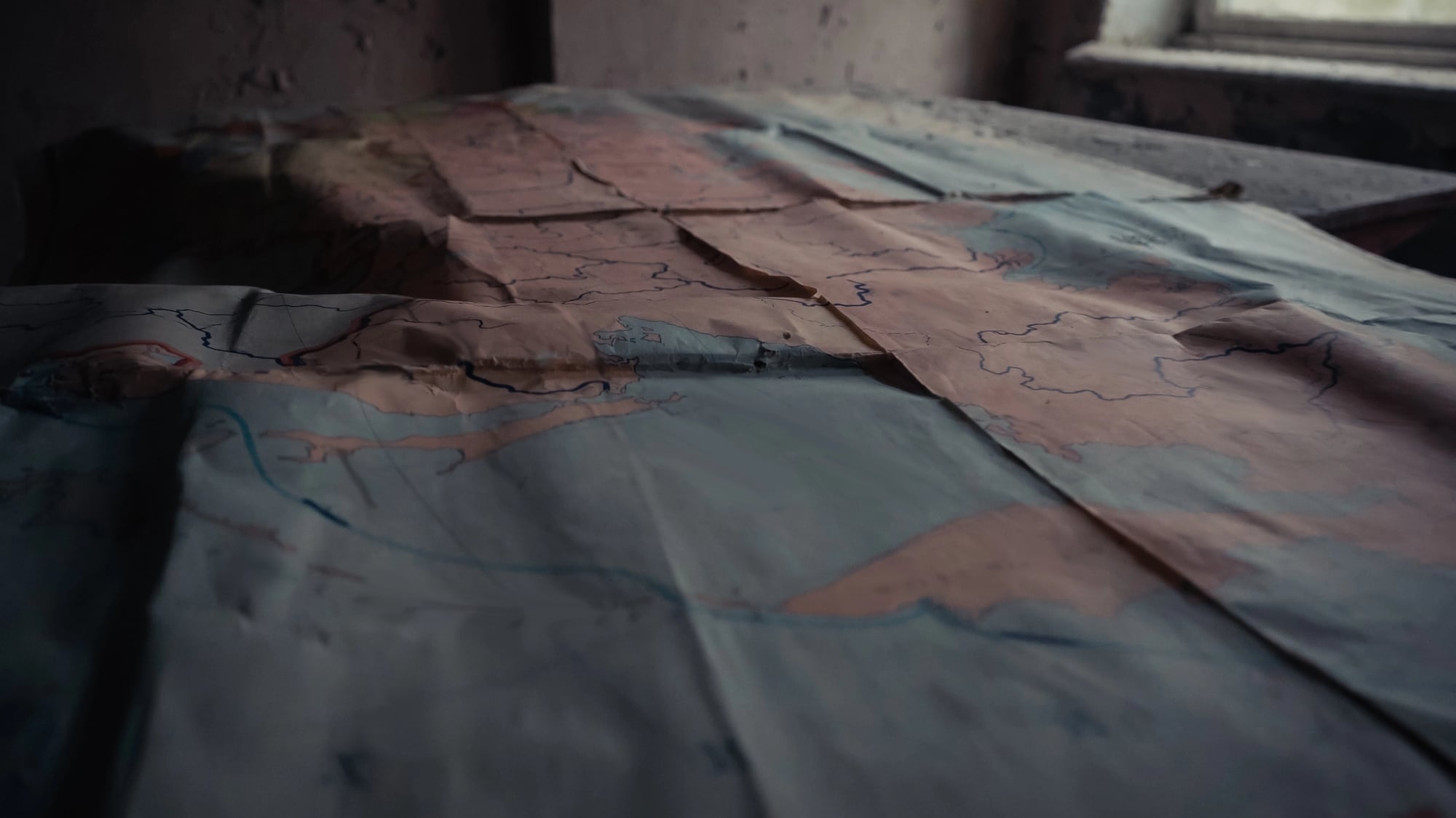
On a map from 800 CE, the Carolingian Empire under Charlemagne covers France, Germany, northern Italy, Switzerland, Austria, Belgium, the Netherlands, and parts of Spain and Eastern Europe under a single Frankish ruler who had been crowned Emperor of the Romans by Pope Leo III in Rome on Christmas Day.
The empire’s division among Charlemagne’s grandsons after his death produced the rough outlines of modern France and Germany — which is to say that a family inheritance dispute in the 9th century is the reason France and Germany exist as separate countries today.
The Aksumite Empire
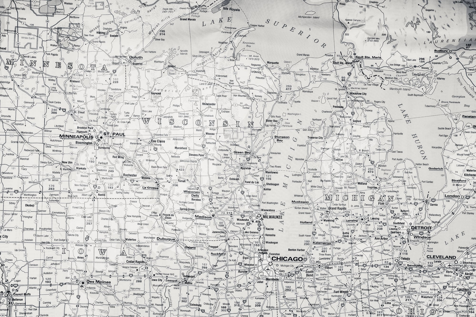
Between the 1st and 8th centuries CE, the Aksumite Empire occupied what is now northern Ethiopia, Eritrea, and parts of Yemen, Sudan, and Somalia — a maritime power that controlled trade routes between Rome, India, and sub-Saharan Africa.
It was one of the world’s first states to adopt Christianity as an official religion in the 4th century CE, around the same time as Rome. Aksum is rarely on modern maps because the territory it covered became Ethiopia, which survived as one of Africa’s only two states never fully colonised by European powers.
The Aksumite Empire’s relationship to modern Ethiopia is roughly analogous to the Roman Empire’s relationship to modern Italy — the ancestor that left the legacy without surviving itself.
The Holy Roman Empire
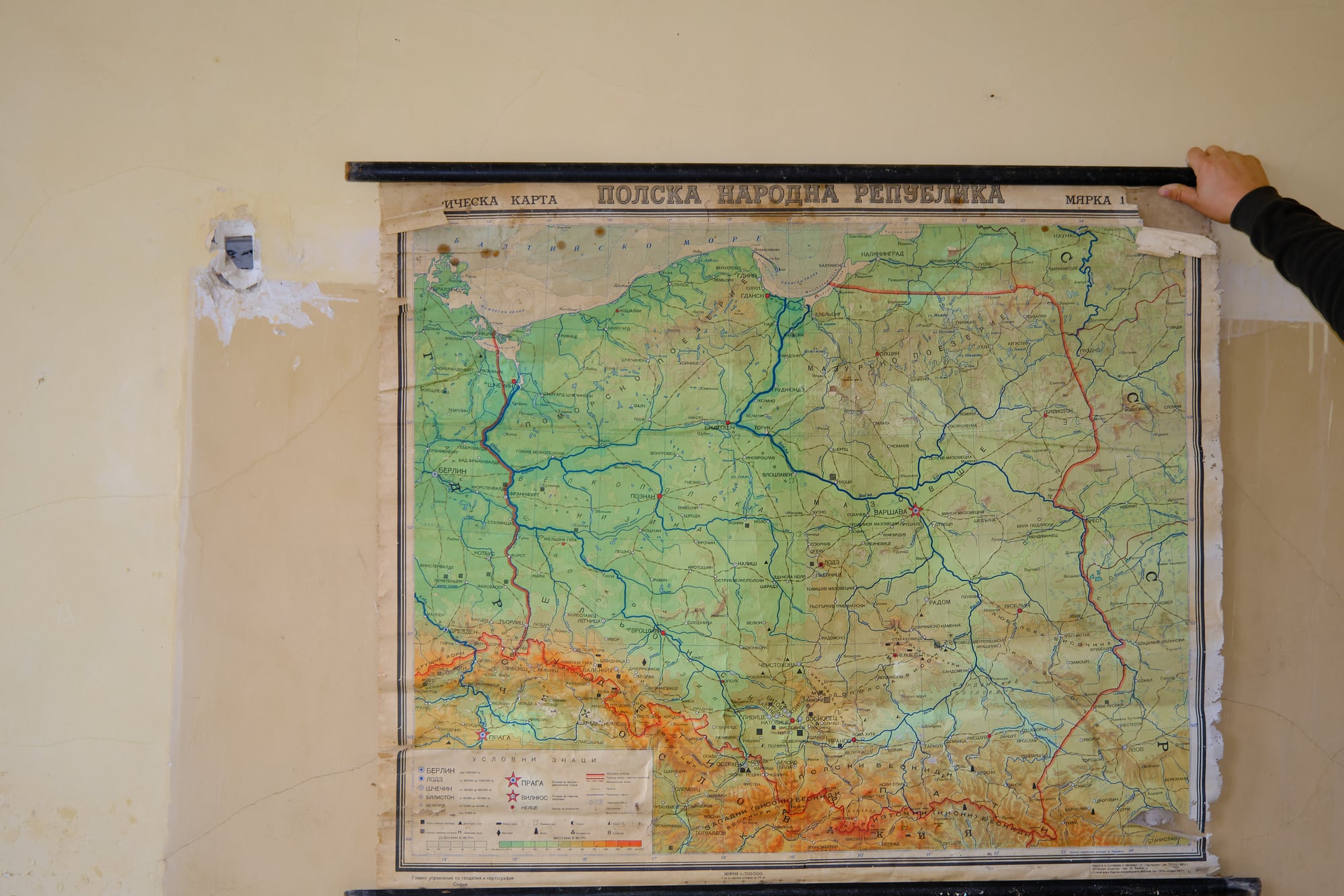
A map of 17th-century Europe shows the Holy Roman Empire not as a single unified state but as a bewildering patchwork of hundreds of principalities, free cities, bishoprics, and kingdoms nominally under a single imperial title.
At its most fragmented, the Empire contained over 300 distinct political units. Voltaire’s remark that it was “neither holy, nor Roman, nor an empire” captured its administrative reality.
Napoleon abolished it in 1806, with the last emperor, Francis II, formally dissolving the thousand-year institution after a French military victory made it redundant. The territory it had covered became, over the following century, Germany, Austria, Switzerland, Liechtenstein, and significant portions of Poland, Italy, France, and the Czech Republic.
The Khanate Of Khiva
A 19th-century map of Central Asia shows several independent khanates — Khiva, Bukhara, and Kokand — controlling the territory now occupied by Uzbekistan, Turkmenistan, and parts of Kazakhstan.
These were Silk Road states with sophisticated administrative and cultural traditions, nominally independent until Russian military expansion absorbed them in the 1860s and 1870s. Khiva remained on maps until 1920, when it was reorganised as the Khorezm People’s Soviet Republic.
It was then reorganised again in 1924 into the Soviet republics that became, after 1991, the independent nations of Central Asia whose borders do not align with any previous political unit’s territory.
Bophuthatswana
On a 1980s map of South Africa during the apartheid era, several “independent homelands” appear as separate countries — Bophuthatswana, Transkei, Venda, and Ciskei among them.
These were not independent in any internationally recognised sense: no foreign government outside South Africa recognised them as sovereign states. They were administrative constructions designed to give legal form to apartheid policy, stripping Black South Africans of South African citizenship by assigning them to nominal “nations.”
Bophuthatswana’s territory was not contiguous — it consisted of seven separate pieces of land scattered across the northwest of the country — making it one of the most bizarre-looking entities ever to appear on any official map. All homelands were reintegrated into South Africa in 1994.
The Mughal Empire
A late 17th-century map of the Indian subcontinent shows the Mughal Empire under Aurangzeb at its greatest extent: covering nearly the entire subcontinent from Afghanistan and Kashmir in the north to the Deccan plateau in the south.
The empire had developed one of the world’s most sophisticated administrative systems, a tradition of monumental architecture, and an economy that contemporary historians estimate produced roughly a quarter of global GDP. By 1857, the last Mughal emperor was exiled to Rangoon by the British.
What had been the Mughal empire was partitioned in 1947 into India and Pakistan — and then again in 1971 into India, Pakistan, and Bangladesh.
The Republic Of Biafra
Between 1967 and 1970, Biafra existed on maps of West Africa as a breakaway republic in the southeastern region of Nigeria.
The territory declared independence by the Igbo-dominated region under Colonel Odumegwu Ojukwu after inter-ethnic violence had killed tens of thousands of Igbo people. The Nigerian federal government refused to recognise the secession, and the resulting civil war killed an estimated one to three million people.
Biafra was reabsorbed into Nigeria in 1970. The territory it had claimed is now southeastern Nigeria, and the underlying political tensions that produced the war have been unresolved for more than 50 years.
The Papal States
A map of pre-1870 Italy shows a large swathe of central Italy — stretching from Rome north through what is now Lazio, Umbria, and Emilia-Romagna — marked as the Papal States.
The territory was directly administered by the Catholic Church for over eleven centuries. When Italian unification forces under Giuseppe Garibaldi and the army of Piedmont-Sardinia absorbed the Papal States in 1870, Pope Pius IX declared himself a prisoner in the Vatican.
This posture was maintained by three successive popes until the Lateran Treaty of 1929 created Vatican City as an independent state and the papacy formally relinquished its claim to the rest of Italy.
The Kievan Rus
A 10th-century map of Eastern Europe shows the Kievan Rus — a federation of East Slavic tribes centred on Kyiv, the city that became the capital of modern Ukraine — as the dominant political entity across what is now Russia, Ukraine, and Belarus.
The shared origin of these three modern states in the Kievan Rus is a historical fact that has been weaponised as geopolitical argument. Russian claims that Ukrainians and Russians share a single historical identity are challenged by Ukrainian historians who note that Kyiv predates Moscow by several centuries.
The map from the 10th century cannot resolve the dispute, but it is the map both sides point to.
The Visigoths’ Hispania
A 6th-century map of the Iberian Peninsula shows the Visigothic Kingdom controlling most of what would become Spain and Portugal.
It was a Germanic successor state to the Roman Empire that adopted Christianity, developed a sophisticated legal tradition, and was entirely swept away within a decade of the Umayyad conquest beginning in 711 CE.
Within three years of landing in Iberia, Arab and Berber forces had conquered nearly the entire peninsula. The Christian kingdoms that survived in the north spent the next 700 years in the gradual Reconquista, finally completing it in 1492 — the same year Columbus sailed west.
The Merovingian Kingdoms
A map of 7th-century Western Europe shows the former territory of Gaul divided among Frankish Merovingian kingdoms — Austrasia, Neustria, Burgundy, Aquitaine.
Their names correspond to no modern country or region but whose territorial divisions broadly mirror what would eventually become the regionalism of medieval France. The Merovingians were replaced by the Carolingians in 751, and within decades Charlemagne had unified all Frankish territory.
A map of Merovingian Europe is the map of a world that had forgotten it was Roman and hadn’t yet decided what it was going to be instead.
The Hyderabad State
On a 1940s map of the Indian subcontinent produced by the British Raj, Hyderabad appears as one of the largest of the “princely states.”
These were nominally independent territories that acknowledged British paramountcy but retained their own rulers, administrations, and in Hyderabad’s case a population of approximately 17 million people and a Nizam who was reportedly one of the wealthiest individuals on earth.
When India became independent in 1947, Hyderabad’s Nizam hoped to retain independence or at minimum seek accession to Pakistan. In 1948, the Indian army conducted a military operation that lasted five days and ended with Hyderabad’s absorption into India.
It is now divided between the states of Telangana and parts of Maharashtra and Karnataka.
The Maps That Came After
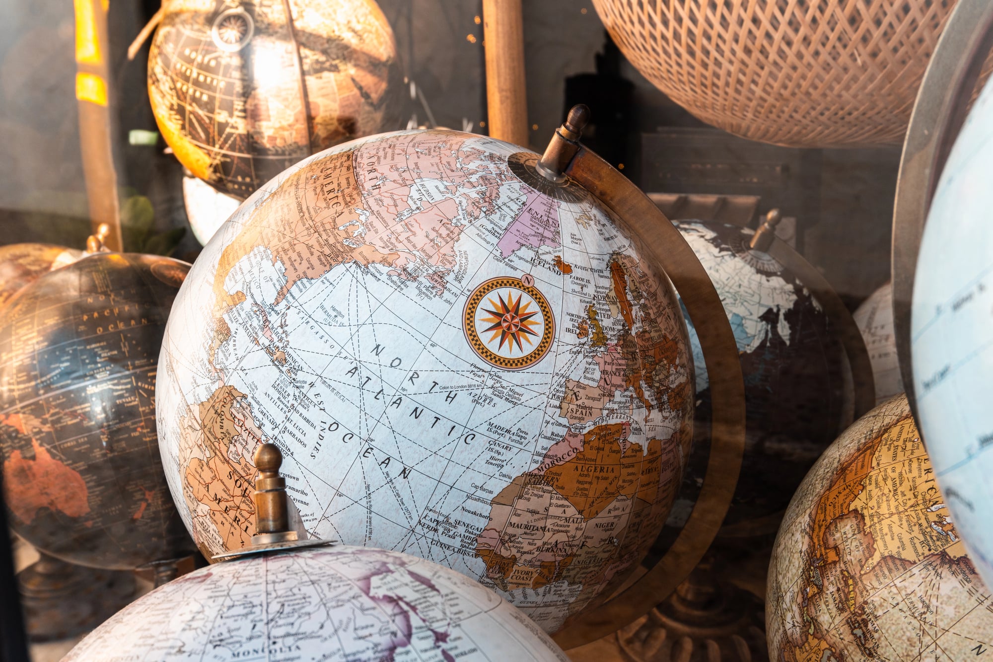
What makes historical maps genuinely unsettling is not the countries that have disappeared from them — it’s the realisation that the current map will eventually look just as strange to people in the future as these maps look to us now.
The Soviet Union’s disappearance surprised virtually every geopolitical analyst alive in 1985. Yugoslavia’s dissolution shocked observers who had assumed its ethnic tensions were managed.
The borders of the Middle East, drawn by European powers with rulers and petroleum interests after World War I, have generated nearly a century of instability and show no signs of having achieved their final form.
Every map is a temporary agreement about what exists. Some agreements last centuries.
Some last nine years, like the Republic of Texas, or twenty-three years like Tannu Tuva, or one day like the many small states that dissolved the morning after the guns stopped in 1918.
The world map published this year will look peculiar to historians in 2150 for reasons that are probably already in motion and that the current map cannot yet show.
More from Go2Tutors!

- The Romanov Crown Jewels and Their Tragic Fate
- 13 Historical Mysteries That Science Still Can’t Solve
- Famous Hoaxes That Fooled the World for Years
- 15 Child Stars with Tragic Adult Lives
- 16 Famous Jewelry Pieces in History
Like Go2Tutors’s content? Follow us on MSN.