25 Facts About the Most Dangerous Sea Routes in History
Before GPS, satellite weather forecasting, and steel hulls, the ocean had its own permanent geography of danger — specific corridors where the wind behaved in ways that defied prediction, where current and depth combined to produce waves that could overwhelm any vessel, where the distance from rescue made every miscalculation final. The sailors who traversed these routes did so not because they were reckless but because the routes were necessary: the only way between one ocean and another, the only available passage to a specific port, the only corridor connecting the commerce of two hemispheres.
The most dangerous routes accumulated reputations over decades and centuries. In some cases the names of those routes — Cape Horn, the Drake Passage, the Strait of Malacca — became shorthand for mortal risk in the way that specific mountain passes do. Here are twenty-five facts about these corridors of documented danger.
The Drake Passage Is Estimated to Hold Around 800 Shipwrecks
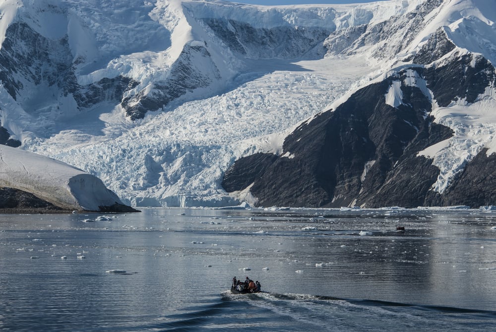
The Drake Passage — the approximately 800-kilometre stretch of water between Cape Horn at the southern tip of South America and the South Shetland Islands north of Antarctica — is estimated to be the final resting place of roughly 800 shipwrecks, representing the deaths of approximately 20,000 sailors across the age of sail. The number cannot be precisely verified because many ships were lost without survivors to report them, but it is consistent with what is known about the volume of traffic through the passage before the Panama Canal opened in 1914 and the conditions those ships encountered.
The Antarctic Circumpolar Current Makes the Drake Passage Uniquely Violent
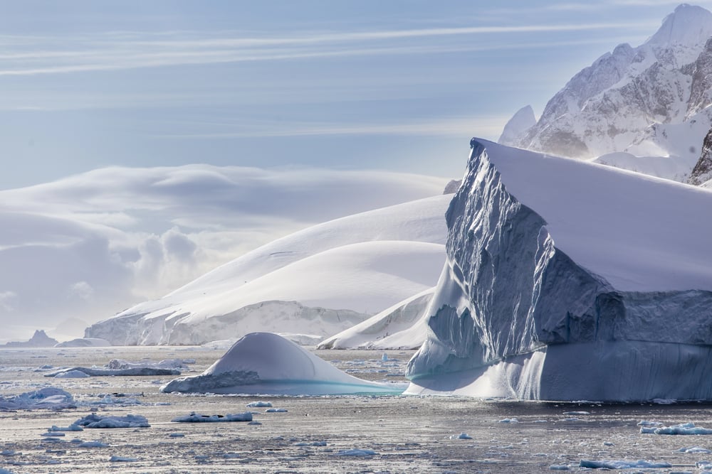
The Drake Passage is the narrowest point through which the Antarctic Circumpolar Current passes — the largest and most powerful ocean current on Earth, moving roughly 125 to 200 million cubic metres of water per second, approximately 600 times the volume of the Amazon River. When this volume of water is compressed through a relatively narrow channel between two landmasses, the resulting wave heights, current speeds, and sea states are extreme. Waves of forty feet are not unusual, and conditions can deteriorate from manageable to dangerous within hours.
The Drake Passage Was First Documented by a Spanish Navigator in 1525
The English name for the Drake Passage honours Sir Francis Drake, but a Spanish navigator named Francisco de Hoces first documented the open water south of Cape Horn in 1525, sailing south from the entrance of the Strait of Magellan. In Spanish-speaking countries, the passage is sometimes called the Mar de Hoces in his honour. Drake himself sailed through the region in 1578 during his circumnavigation and lost the Marigold in the storms, but did not choose to traverse the open passage — his Golden Hind was pushed south by the storm rather than navigating there deliberately.
Cape Horn Claims Approximately 800 Ships Across Its History
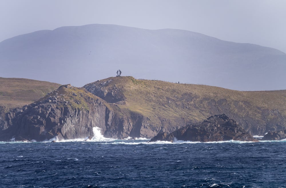
The figure of 800 shipwrecks is associated specifically with the Cape Horn region as well as the Drake Passage itself, reflecting the degree to which the two are functionally inseparable in maritime navigation. Rounding the Horn — the term used for sailing around the southernmost point of the Americas — required navigating winds from the west that could reach hurricane force, waves created by the intersection of the Atlantic and Pacific Oceans, and the presence of icebergs drifting north from Antarctica.
Willem Schouten Was the First to Sail Around Cape Horn Deliberately (1616)
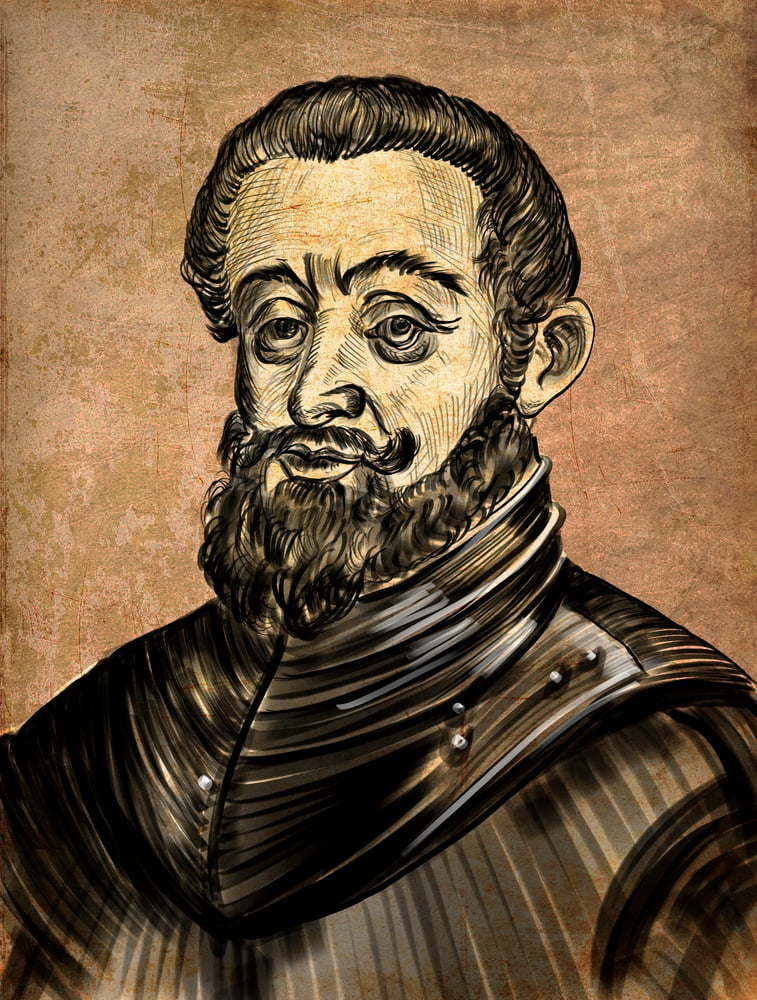
Dutch navigator Willem Schouten, sailing with Jacob le Maire, became the first person documented to have intentionally sailed around Cape Horn on January 29, 1616. He named the cape after the Dutch city of Hoorn, his hometown. Schouten and le Maire were attempting to find a route to the Pacific without using the Strait of Magellan — which was controlled by the Dutch East India Company and therefore legally closed to competitors. The voyage demonstrated that an alternative route existed, with consequences for Dutch commercial expansion into the Pacific.
The Winds Around Cape Horn Are Named for the Latitude Bands They Inhabit
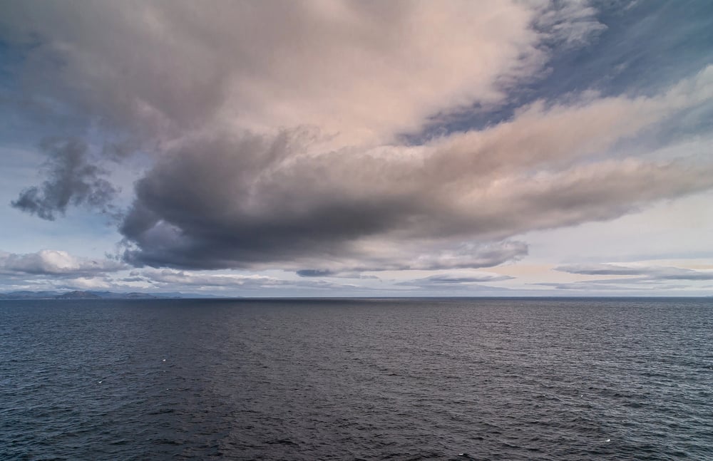
Sailors developed specific names for the prevailing westerly winds at progressively southern latitudes: the Roaring Forties (40-50 degrees south), the Furious Fifties (50-60 degrees), and the Screaming Sixties (60-70 degrees). Cape Horn sits at approximately 56 degrees south latitude, placing it firmly in the Furious Fifties. These names were not poetic exaggeration. The westerly winds in the Southern Ocean, uninterrupted by any major landmass, build to sustained force levels rarely encountered at equivalent latitudes in the Northern Hemisphere.
The Strait of Magellan Was Considered the Only Reliable Alternative Before 1616
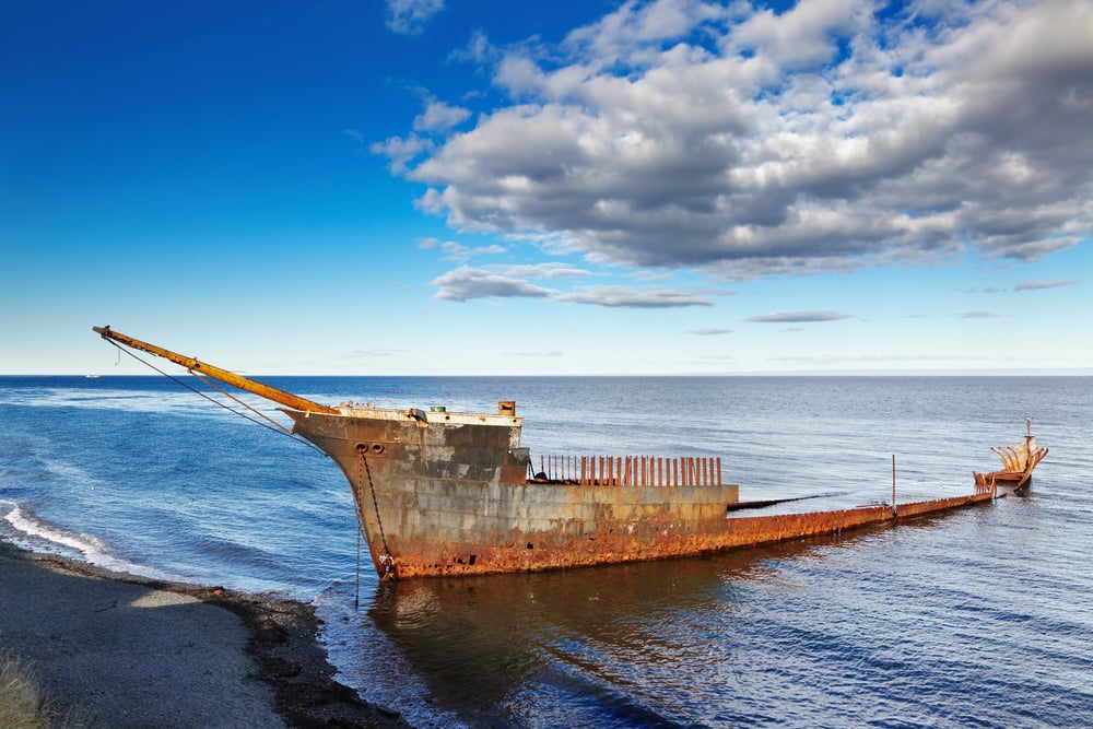
The Strait of Magellan — the narrow waterway between mainland South America and Tierra del Fuego — was the route Ferdinand Magellan used in 1520 on the first circumnavigation of the Earth. It was treacherous in its own right: extremely narrow in places, subject to powerful tidal currents, and capable of producing sudden severe weather. But for the century between Magellan’s voyage and Schouten’s rounding of Cape Horn, it was the only known route between the Atlantic and Pacific Oceans in the southern hemisphere, making it a chokepoint of enormous strategic and commercial importance.
Captain Bligh Turned Back from Cape Horn After 30 Days of Attempts
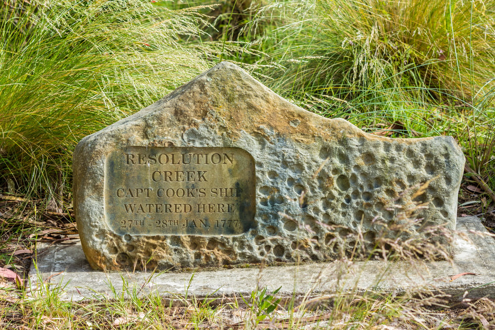
Captain William Bligh’s ship HMS Bounty spent approximately thirty days attempting to round Cape Horn in 1788 before Bligh gave up and reversed course, sailing east to reach the Pacific via the Cape of Good Hope instead — adding roughly ten thousand miles to the voyage. The conditions Bligh documented in his logs — headwinds, extreme waves, crew illness — were typical of unsuccessful Cape Horn roundings. Bligh’s decision was prudent seamanship. The Bounty’s subsequent history (the mutiny occurred several months later in the Pacific) has somewhat overshadowed what was actually a reasonable response to a genuinely impassable weather window.
The Gulf of Aden Became Dangerous for Different Reasons
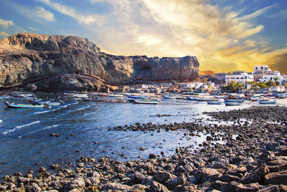
The Gulf of Aden — the body of water between Yemen to the north and the Horn of Africa to the south — connects the Red Sea to the Indian Ocean and is one of the world’s most commercially important waterways. Unlike the Drake Passage, its primary historical danger was not weather but piracy operating from the Somali coast, which escalated dramatically in the early 2000s. Between 2008 and 2012, Somali pirates attacked hundreds of vessels in the Gulf of Aden and the broader Indian Ocean, briefly making it the most dangerous maritime corridor in the world from a security perspective.
The Bay of Biscay Sits at the Intersection of Atlantic Swells and Shallow Continental Shelf
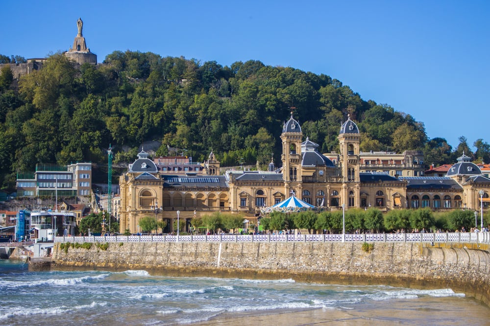
The Bay of Biscay, between the French coast and the northern Spanish coast, has a geography that amplifies wave action in specific conditions. The open Atlantic sends long swells toward the bay, and when those swells encounter the rising continental shelf beneath the bay’s relatively shallow eastern waters, they steepen and become more aggressive. Its position on one of Europe’s primary coastal shipping routes has meant that documented shipwrecks in the bay number in the thousands across recorded history.
The Strait of Malacca Is the World’s Most Trafficked Waterway and Was Historically Pirate-Controlled
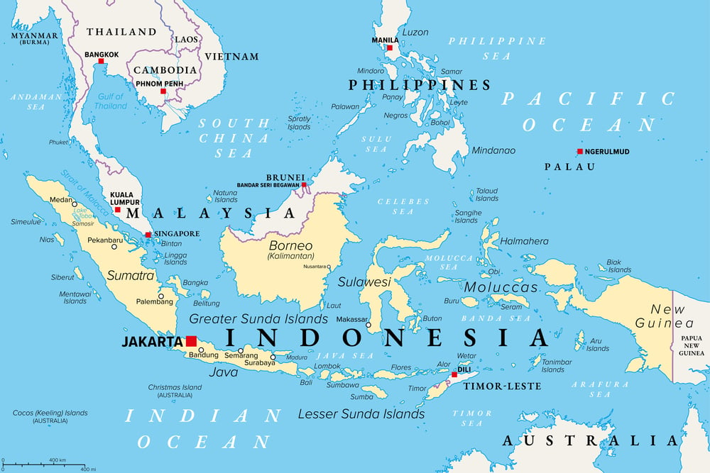
The Strait of Malacca, the narrow channel between the Malay Peninsula and the Indonesian island of Sumatra, handles an estimated forty percent of global sea trade by volume. At its narrowest point it is approximately 2.8 kilometres wide. Throughout the medieval and early modern period, the strait was plagued by piracy — a logical consequence of the concentration of merchant shipping in a bottleneck too valuable to avoid.
The Portuguese conquest of Malacca in 1511 was primarily a strategic move to control this passage.
The North Sea Has Produced More Documented Shipwrecks Per Square Kilometre Than Almost Any Comparable Area
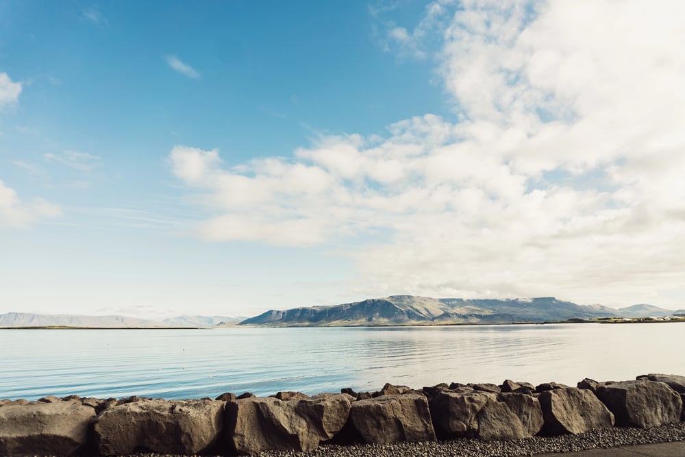
The North Sea’s shallow depth means that waves in storms are steep and close together rather than long and rolling — a sea state more difficult for ships to handle than deep-water swells of equivalent height. During the Great Storm of 1703, an estimated 8,000 English sailors died and more than 1,000 ships were damaged or destroyed in the North Sea and English Channel — one of the deadliest single weather events in British maritime history.
The South China Sea Combines Multiple Overlapping Dangers
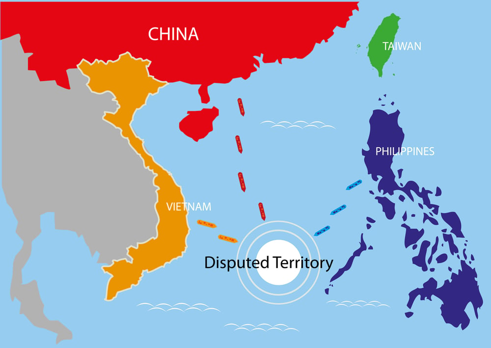
The South China Sea combines typhoon exposure, numerous shoals and reefs, extensive territorial disputes, historical piracy, and high commercial traffic. The Paracel and Spratly island groups create hazards for navigation while being contested between multiple regional powers.
In the pre-modern era, the monsoon system meant that sailing was heavily seasonal. The shallows around the islands have claimed thousands of ships across the centuries of Chinese, European, and Southeast Asian maritime commerce.
The Persian Gulf Presents Navigational Challenges Amplified by Modern Conflict
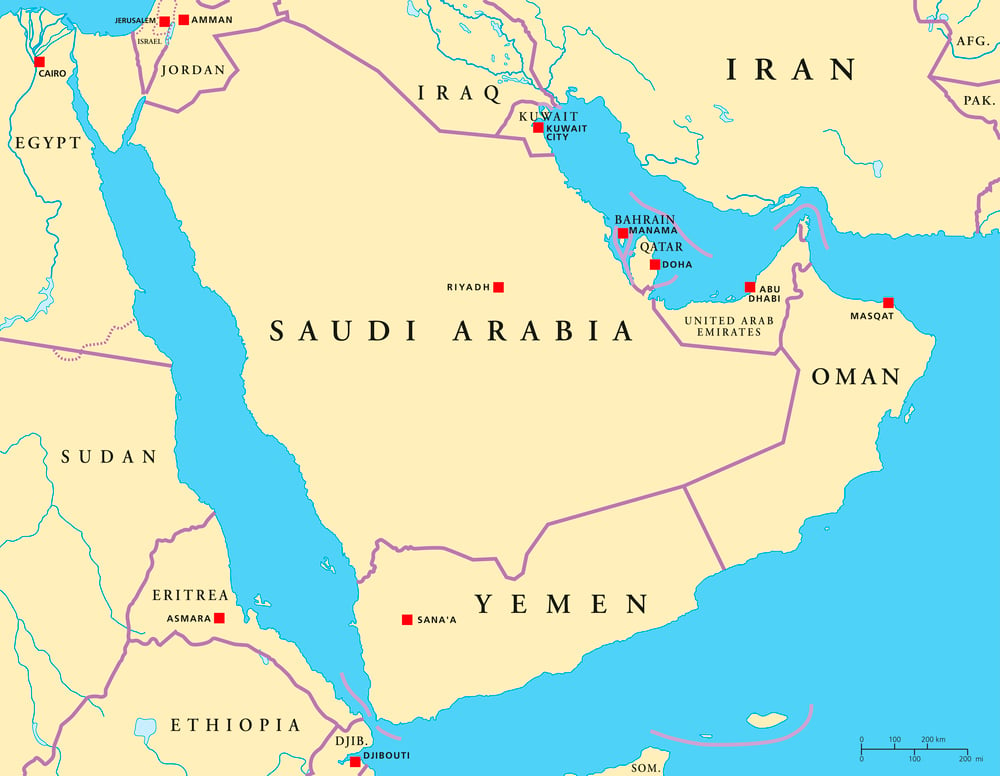
The Persian Gulf is shallow, hot, and subject to shamal winds that can reduce visibility to near-zero in dust storms. In the eighteenth and nineteenth centuries, piracy along the Arabian coast was extensive enough that the British called the coastline the Pirate Coast until treaty arrangements in the 1820s suppressed it.
During the Iran-Iraq War in the 1980s, the Tanker War resulted in approximately 451 attacks on vessels and significantly elevated the route’s danger profile.
Cape Agulhas, Not the Cape of Good Hope, Is Africa’s True Southern Tip
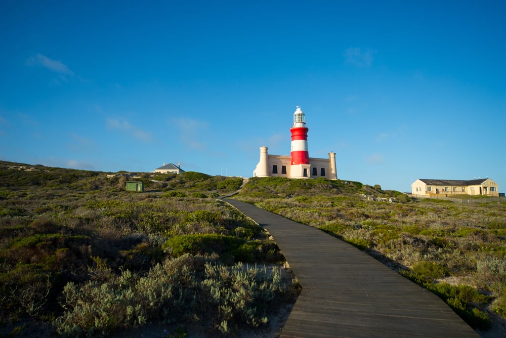
The Cape of Good Hope has a more dramatic reputation than Cape Agulhas, but it is Agulhas — approximately 150 kilometres to the east — that marks the actual southernmost point of Africa and the formal boundary between the Indian and Atlantic Oceans. The waters off Cape Agulhas are dangerous in their own right: the Agulhas Current, flowing southwestward off the eastern coast of Africa, meets the cold Benguela Current flowing northward from Antarctica, creating a collision zone associated with extreme and unpredictable sea conditions.
The Strait of Hormuz Is One of the World’s Most Strategically Consequential Waterways
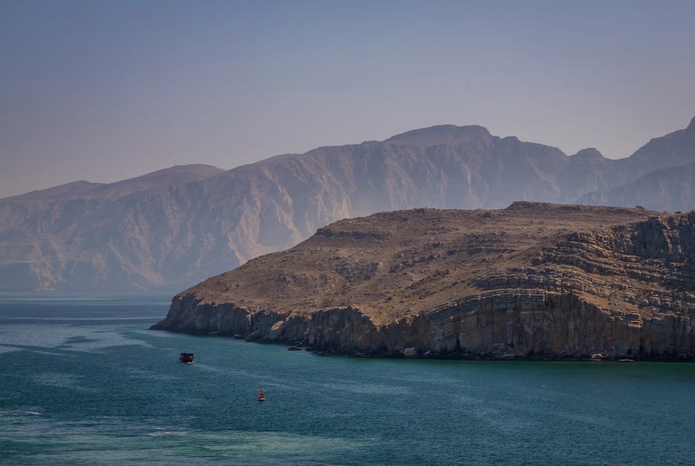
Approximately twenty percent of the world’s petroleum passes through the Strait of Hormuz — the narrow passage between Iran and Oman connecting the Persian Gulf to the Gulf of Oman. At its narrowest the strait is approximately 34 kilometres wide, with navigable shipping lanes of approximately three kilometres in each direction. Its strategic importance has made it a recurrent subject of geopolitical tension: Iran has repeatedly threatened to close the strait in response to international pressure.
The Skeleton Coast of Namibia Was Named for What Washed Ashore
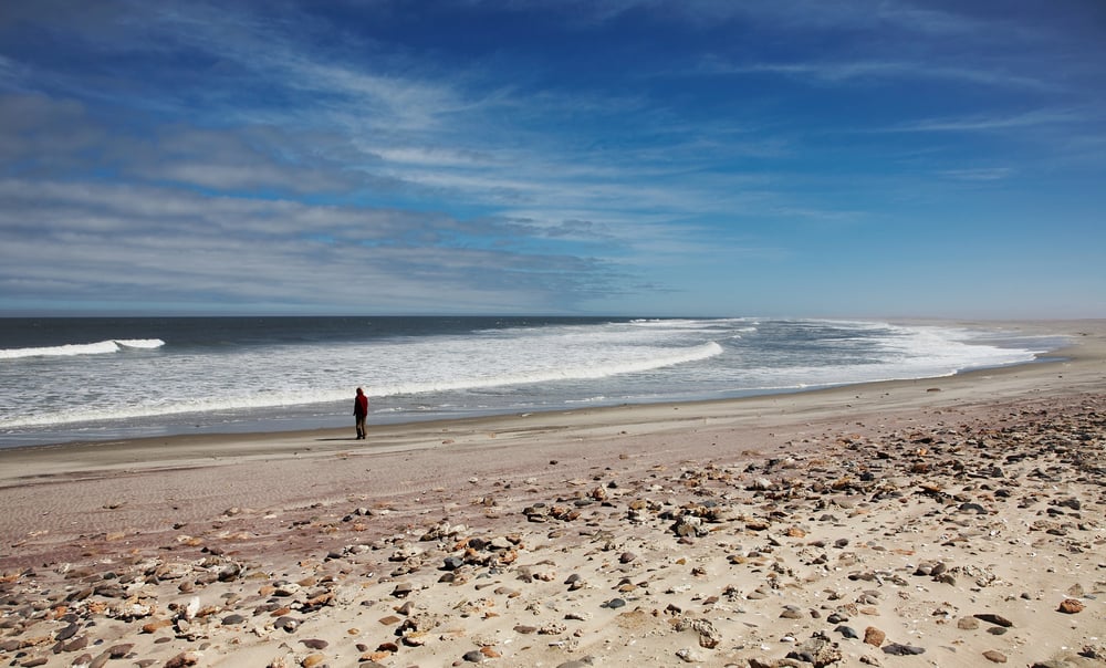
The Skeleton Coast — the northern portion of the Namibian coastline along the South Atlantic — was named by the local San Bushmen as “The Land God Made in Anger” and by Portuguese sailors as the Gates of Hell. The coastline is subject to cold upwelling water from the Benguela Current, frequent fog, and unpredictable winds, and ships driven aground there could find no rescue — the Namib Desert begins at the beach, and there was no overland route along which help could arrive.
The skeletons that gave the coast its European name were those of whales, seals, and shipwrecked sailors, bleached on beaches where nothing else survived.
Sable Island Off Nova Scotia Has Sunk Hundreds of Ships
Sable Island, a remote crescent-shaped sand barrier approximately 300 kilometres southeast of Halifax in the North Atlantic, sits on the continental shelf at a point where the Gulf Stream meets the Labrador Current, producing frequent fog, storms, and dangerous shoaling. It has been associated with over 350 documented shipwrecks since the sixteenth century, earning it the nickname “the Graveyard of the Atlantic.”
The island’s sand ridges shift, making charting uncertain.
Murmansk Convoys in World War II Followed the Most Dangerous Wartime Route
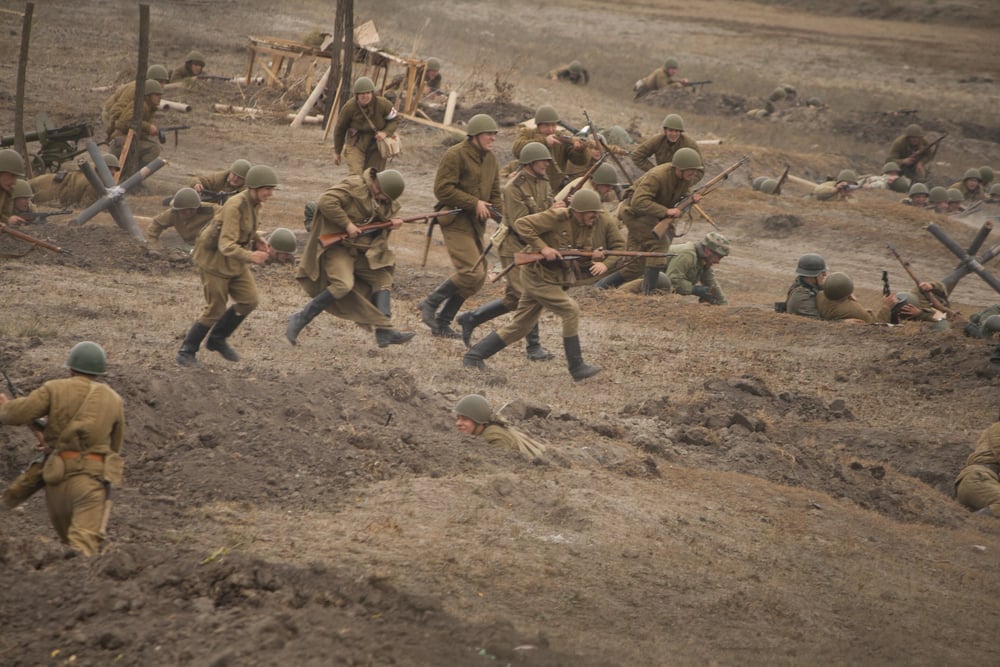
The Allied supply convoys to Murmansk and Archangel in the Soviet Union during World War II faced weather and enemy action simultaneously. The route ran through sub-zero temperatures, sea ice, and darkness for months at a time, while being subject to attack from German aircraft, submarines, and surface warships based in Norway.
Convoy PQ 17, which was ordered to scatter in July 1942, lost twenty-four of its thirty-five merchant ships to submarine and air attacks after dispersal — one of the greatest convoy disasters in the history of naval warfare.
Lake Superior Has Claimed More Than 350 Vessels
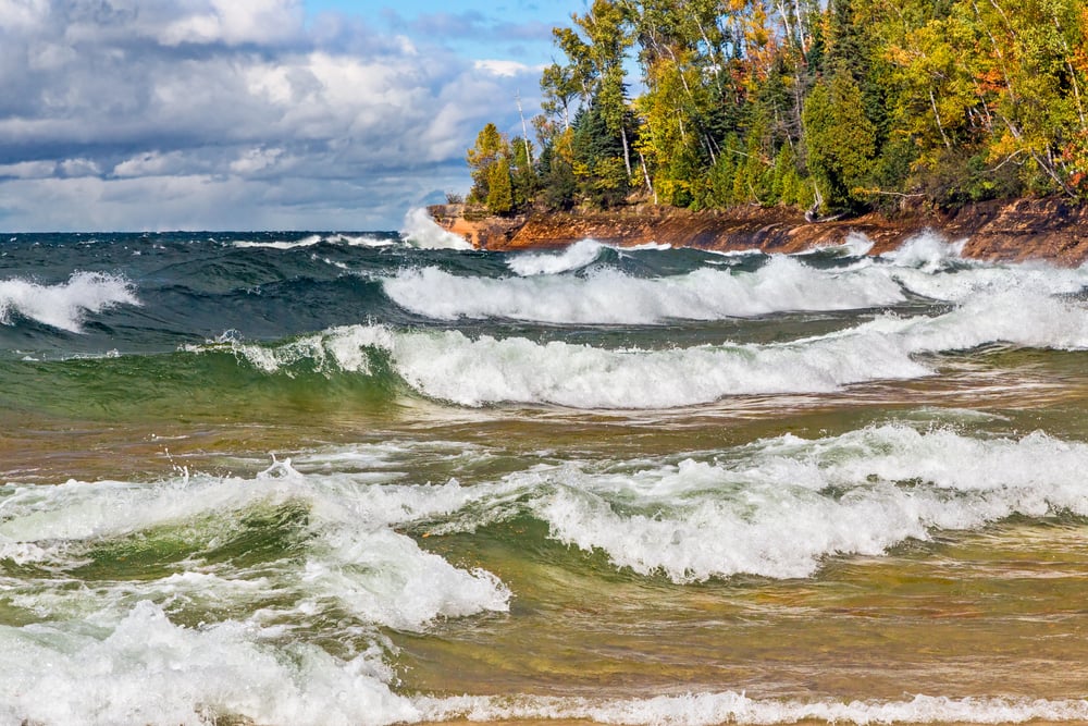
Lake Superior — the largest of the Great Lakes by surface area — has claimed more than 350 ships in its recorded history, including the SS Edmund Fitzgerald, which sank in November 1975 with the loss of all twenty-nine crew members in a storm that generated waves estimated at thirty feet. Lake Superior’s size means that weather systems can develop rapidly and produce open-ocean conditions with the added danger of cold water, ice, and limited maneuverability in a semi-enclosed space.
The Florida Reef Was the Graveyard of Spanish Treasure Fleets
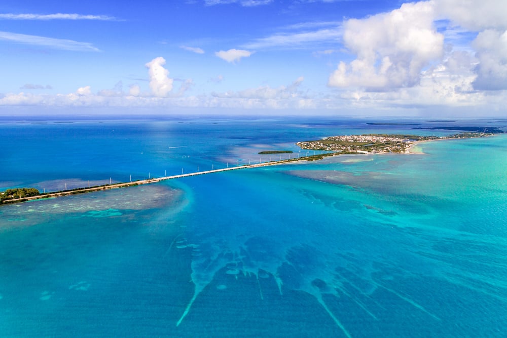
The chain of coral reefs and shoals running along the Florida Keys — the Florida Reef — was the site of the 1715 fleet disaster in which eleven Spanish ships were destroyed by a hurricane, and of the 1622 wrecks that produced the Atocha and Santa Margarita. In the era before accurate charts and GPS, a ship driven off course by a storm could strike the reef before its crew knew they were in danger.
The prevailing currents in the Florida Straits pushed northward, which meant that ships attempting to beat south against wind and current had very little room for error before the reef intervened.
The Roaring Forties Enabled Record Speeds and Record Losses Simultaneously
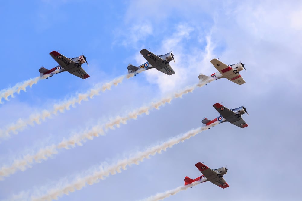
The Roaring Forties — the band of prevailing westerly winds between approximately 40 and 50 degrees south latitude — were exploited by clipper ships in the nineteenth century to achieve record passages between Britain and Australia, and between the American East Coast and California during the Gold Rush. The clipper route drove ships at maximum speed through conditions that were only manageable as long as they remained on the right side of the statistical envelope.
It was also responsible for a significant proportion of the clipper ship losses of the period.
The Passage Around Cape Horn Defined the Culture of Deepwater Sailing
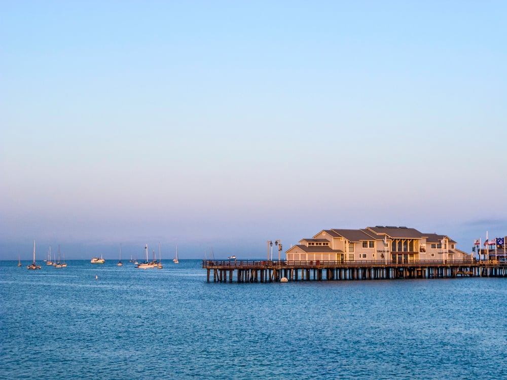
The culture that grew up around Cape Horn rounding in the age of sail was distinct from ordinary seafaring. A sailor who had rounded the Horn was granted specific privileges in port: the right to wear a gold earring, the right to dine with one foot on the table, the right to urinate against the wind.
These privileges represented a community’s acknowledgment that the sailor in question had survived something that many people in the same situation had not. The Cape Horn rounder was an elite category within an already self-selecting population, and the customs associated with that status persisted into the age of steam as a form of institutional memory.
The San Bernardino Strait in the Philippines Has a History of Naval Disaster
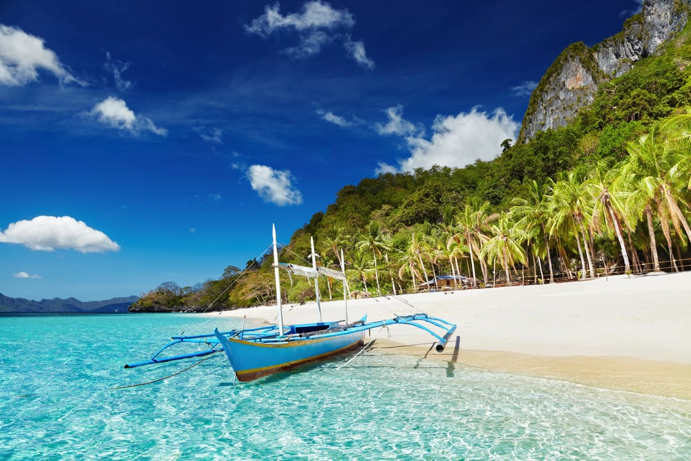
The San Bernardino Strait, between the islands of Luzon and Samar in the Philippines, was the site of one of the most consequential naval engagements of World War II — the Battle off Samar in October 1944, during which American escort carriers and destroyers fought a delaying action against a vastly superior Japanese battle fleet. The strait’s currents and the surrounding shoals are complex, and in earlier periods it was a route through which Spanish galleons carrying trade between Manila and Acapulco had to pass under constant threat from weather, reef, and English privateers.
The Opening of the Panama Canal in 1914 Rendered the Cape Horn Route Redundant for Commercial Traffic
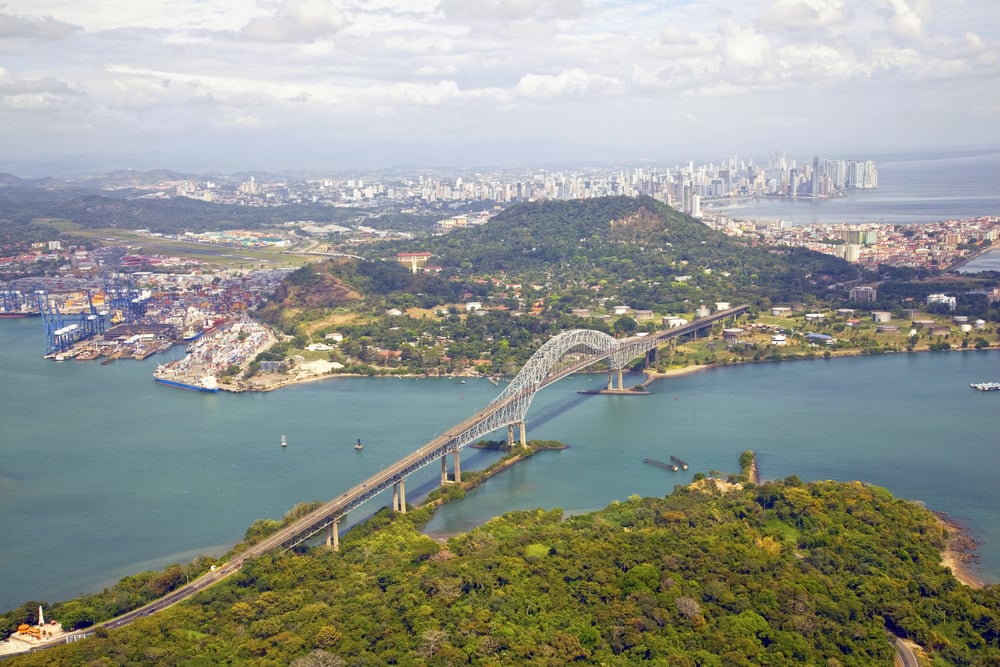
The Panama Canal, which opened in August 1914, made the Cape Horn route commercially obsolete for most cargo within a generation. Ships no longer needed to spend weeks in the Furious Fifties to move between the Atlantic and Pacific Oceans. The canal reduced the New York-to-San Francisco route from approximately 22,000 kilometres to approximately 10,000 kilometres.
The route that had defined global commerce for four centuries was rendered a maritime historical curiosity in a single decade.
When the Sea Was the Only Road
What the most dangerous sea routes share is that they were not dangerous in ways that could be simply avoided — they were dangerous in ways that had to be navigated, because the route itself was necessary. A merchant ship that needed to move cargo between Europe and Asia had to go somewhere. Before the Suez and Panama canals existed, the options were few and each of them involved a specific, documented set of conditions that could kill the crew and sink the ship. The sailors who traversed these routes regularly were not reckless. They were in occupations that required them to go to places where ships regularly died, because commerce and exploration and war required it.
The routes themselves have changed less than the ships that use them. The Drake Passage is still the same body of water; the Antarctic Circumpolar Current still moves the same volume of water through the same narrow gap. What has changed is the technology brought to bear on the problem, the ability to track and forecast the conditions that once arrived without warning. The sea routes that killed tens of thousands of sailors are still there. They have simply, for now, been managed to the point where they are no longer the most reliably deadly corridors on the planet.
More from Go2Tutors!

- The Romanov Crown Jewels and Their Tragic Fate
- 13 Historical Mysteries That Science Still Can’t Solve
- Famous Hoaxes That Fooled the World for Years
- 15 Child Stars with Tragic Adult Lives
- 16 Famous Jewelry Pieces in History
Like Go2Tutors’s content? Follow us on MSN.