29 Consequences That Followed When Africa’s Borders Were Drawn With a Ruler
Between November 1884 and February 1885, representatives of fourteen European powers met in Berlin to divide Africa among themselves. No African representatives were present.
The continent was parcelled out according to European strategic and commercial interests, with lines drawn on maps that many of the participants had never seen, across territories none of them had visited. In just three decades, European control of Africa expanded from roughly ten percent of the continent’s landmass to over ninety percent.
What followed those decisions is still unfolding. The lines drawn in Berlin are, with very few exceptions, the borders of independent African nations today — the same borders that the Organisation of African Unity voted in 1964 to preserve unchanged, on the basis that redrawing them would create chaos.
It was a pragmatic choice. But pragmatism does not resolve the consequences already set in motion.
Approximately 177 Ethnic Groups Were Split Across National Borders
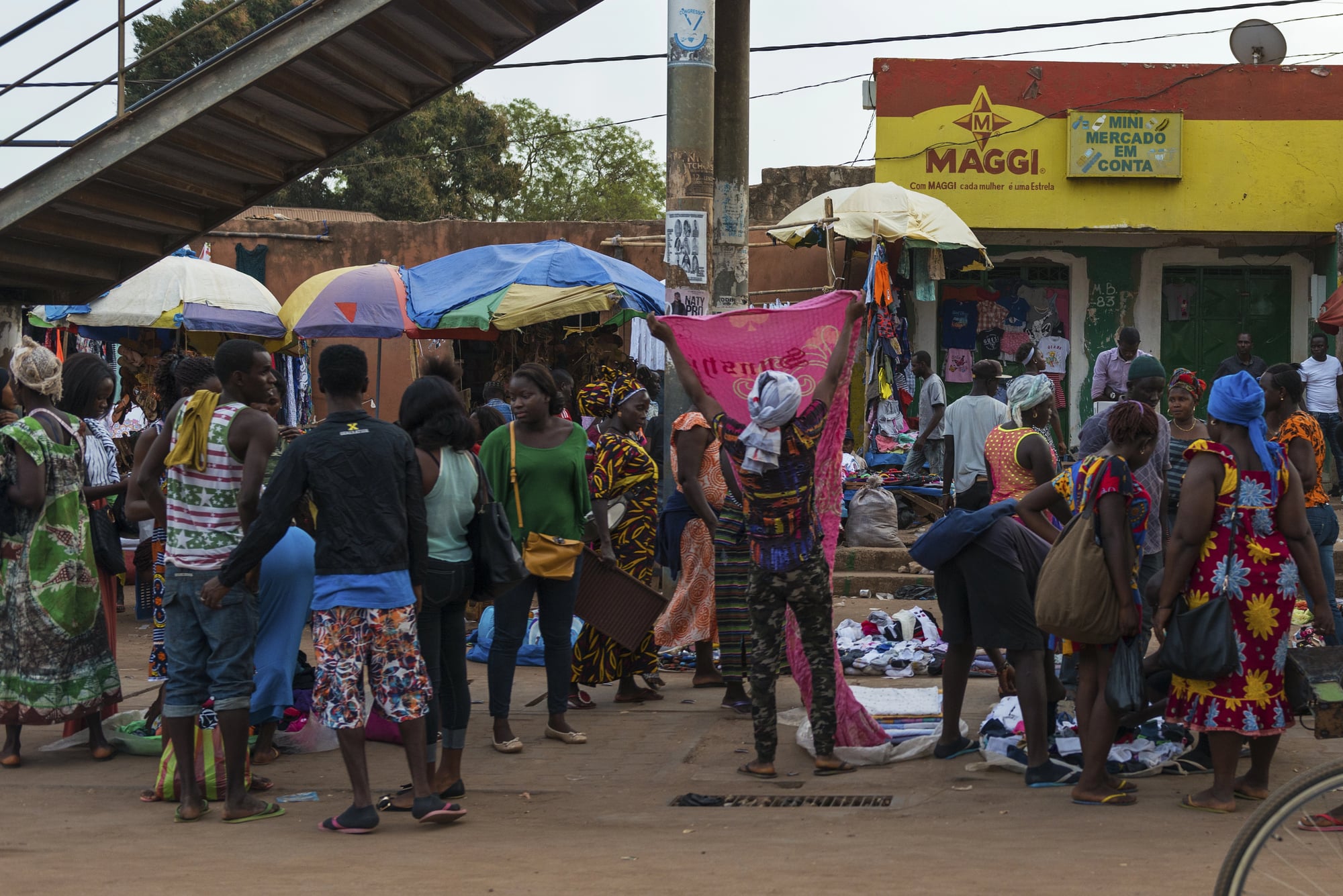
Research by economists Michalopoulos and Papaioannou documented that approximately 177 African ethnic groups were divided by the colonial borders drawn during the Scramble for Africa. These were not marginal communities — in many cases, entire nations of people found themselves arbitrarily assigned to different colonial administrations, speaking different imposed languages, governed by different legal systems, separated by borders that meant nothing in terms of their actual social, economic, or family lives.
The Somali People Were Divided Across Five Different Administrations
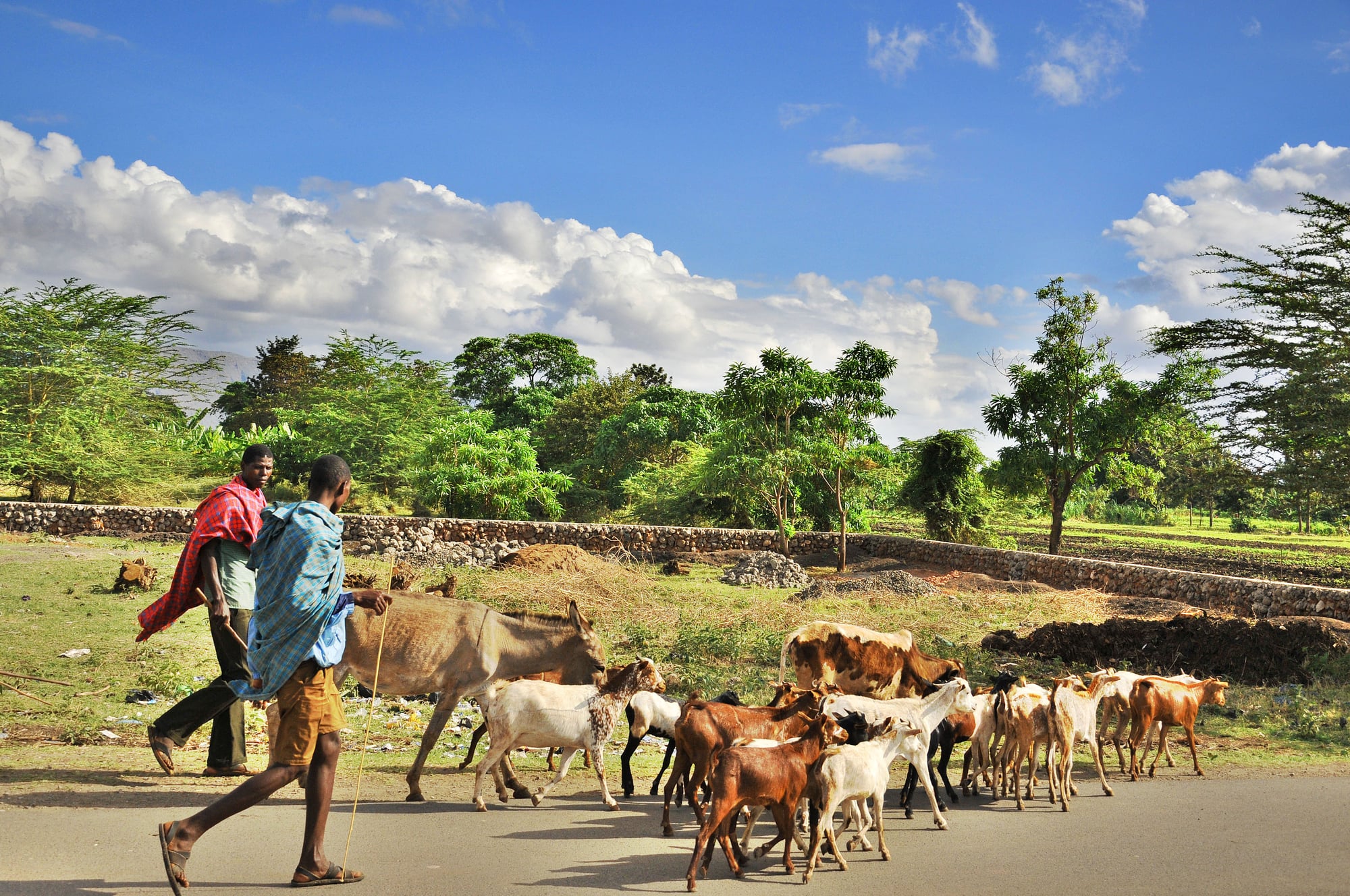
The Somali are arguably the most dramatically partitioned people in Africa. A single ethnic group sharing a common language, culture, and religion was divided among British Somaliland, Italian Somalia, French Somaliland (now Djibouti), Ethiopian Somalia, and the Somali-inhabited region of northern Kenya.
The Somali national flag — a white five-pointed star on a blue background — specifically represents these five separated communities. The irredentist consequences of this division drove the Ogaden Wars between Somalia and Ethiopia, contributed to the collapse of the Somali state, and continue to shape instability across the Horn of Africa.
The Ewe People Were Split Among Ghana, Togo, and Benin
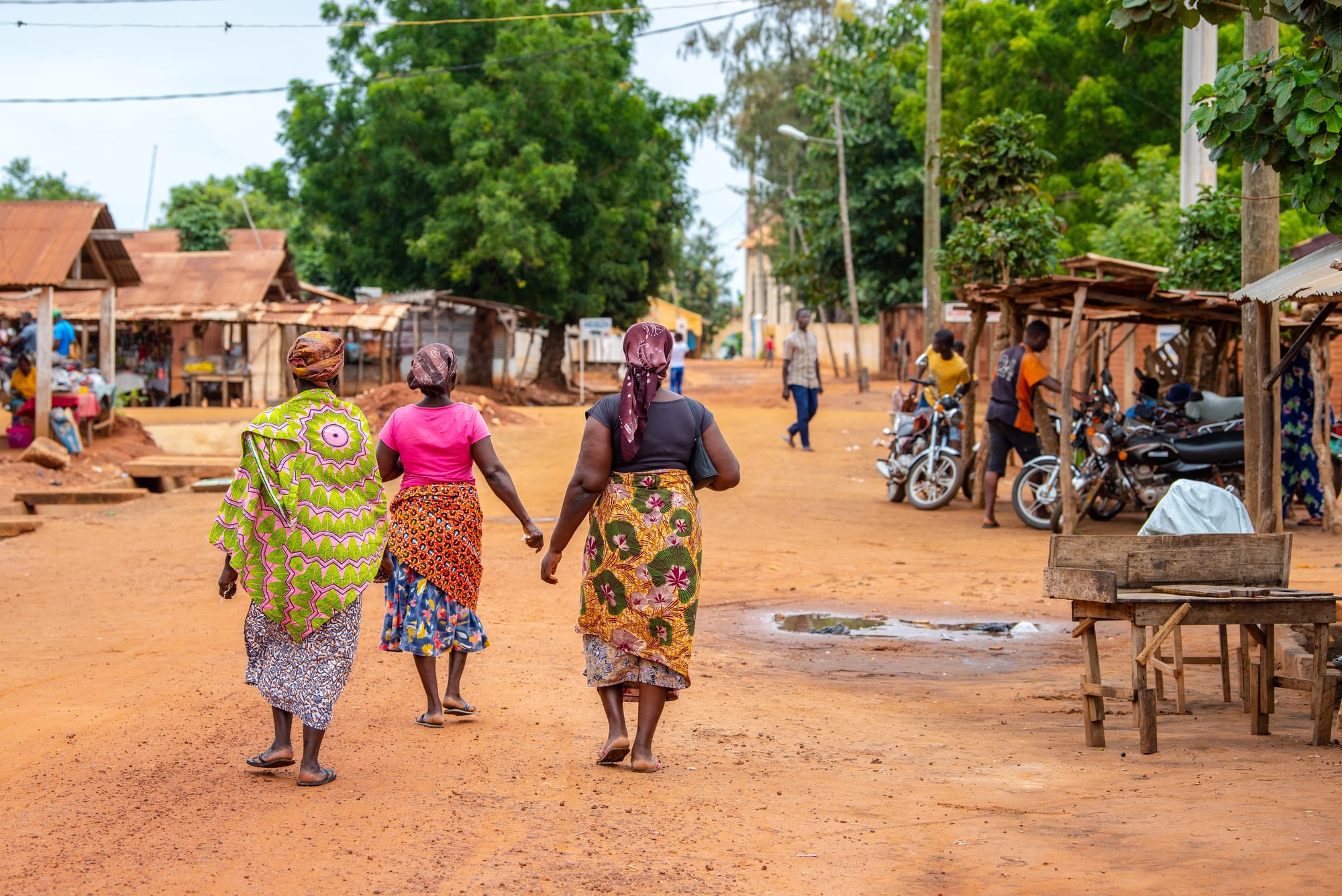
The Ewe are approximately seven million people sharing a common language and cultural identity, now divided among three countries — Ghana, Togo, and Benin — each with a different official European language and different colonial administrative heritage.
What was one community is now three national minorities, none of whom controls the political apparatus of any of the countries that claim their territory.
The Tuareg Were Distributed Across Five Saharan Countries
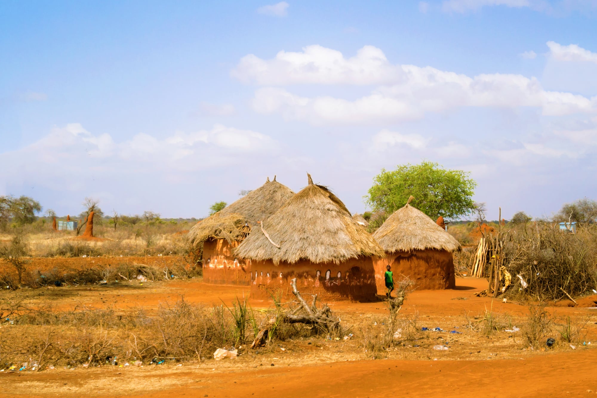
The Tuareg — approximately 2.5 million people who had governed the Sahara’s trans-continental trade routes for centuries — were divided among Mali, Niger, Algeria, Libya, and Burkina Faso.
In none of these countries do they constitute a majority. Their marginalisation contributed directly to the Tuareg rebellions in Mali and Niger in the late twentieth and early twenty-first centuries, and to the crisis in the Sahel region that has drawn international military intervention since the 2010s.
The Maasai Were Divided Between Kenya and Tanzania
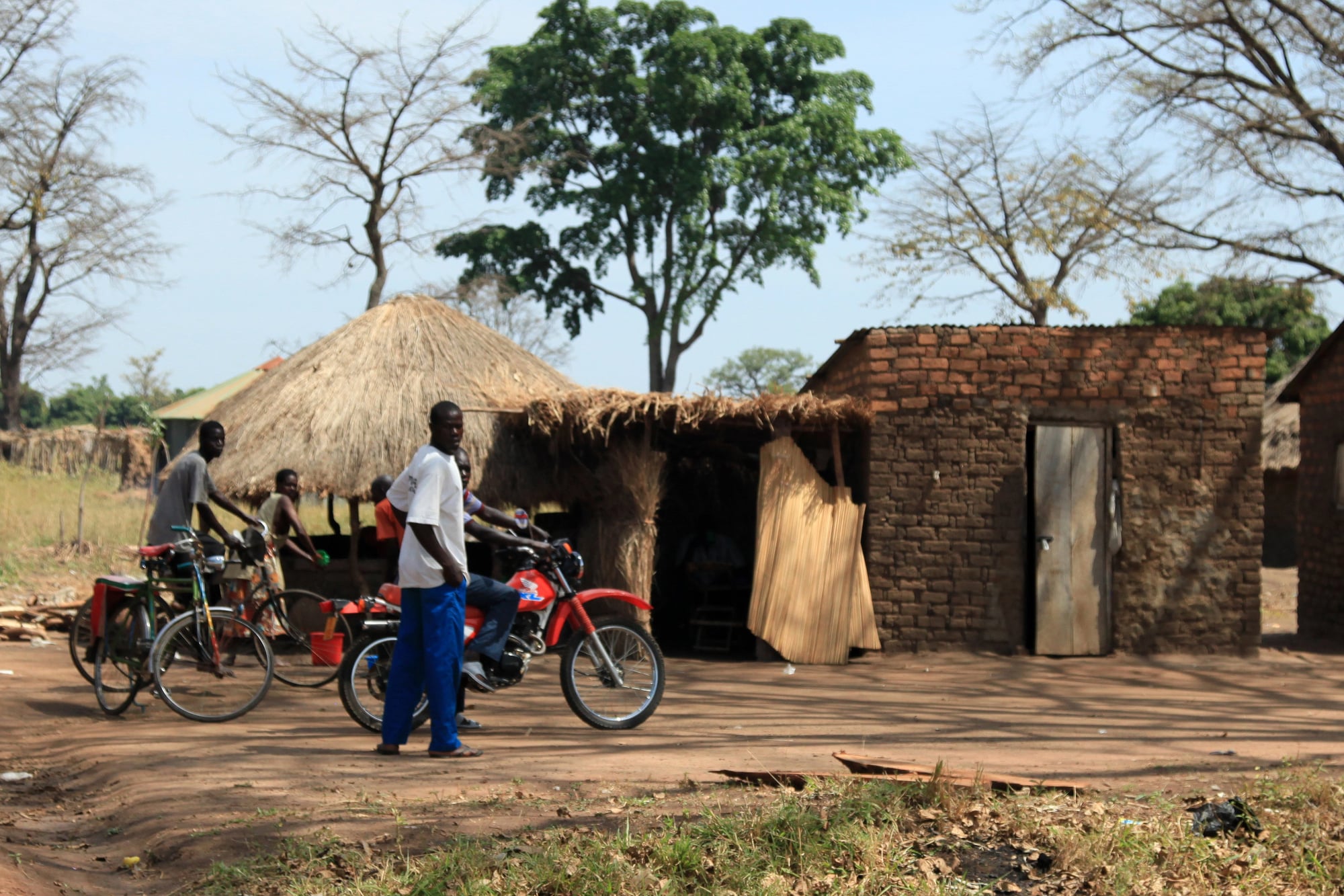
The Maasai, roughly two million people, were split by the border between British East Africa and German East Africa — a border that was subsequently maintained as the boundary between Kenya and Tanzania after independence.
Families and communities that had moved seasonally across this landscape for generations found themselves assigned different nationalities. The border has never been meaningfully relevant to the actual lives of the Maasai people on either side of it.
The Malinke Were Split Among Six Countries
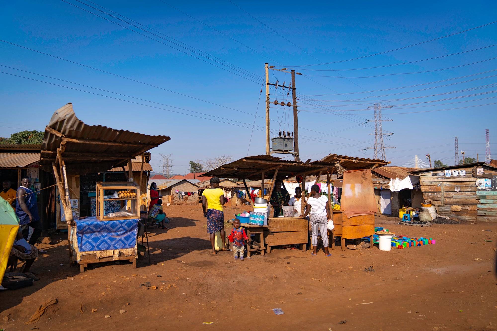
The Malinke, or Mandinka, of West Africa are among the most partitioned peoples in Africa — divided across Senegal, Guinea, Guinea-Bissau, Mali, Côte d’Ivoire, and The Gambia.
Each of these countries governs its Malinke population under different legal and administrative systems, speaks a different colonial language officially, and approaches land rights, citizenship, and political representation differently. The Malinke experience is in this sense typical, not exceptional — it illustrates what happened to hundreds of African communities.
Rival Groups Were Forcibly Combined Into Single States
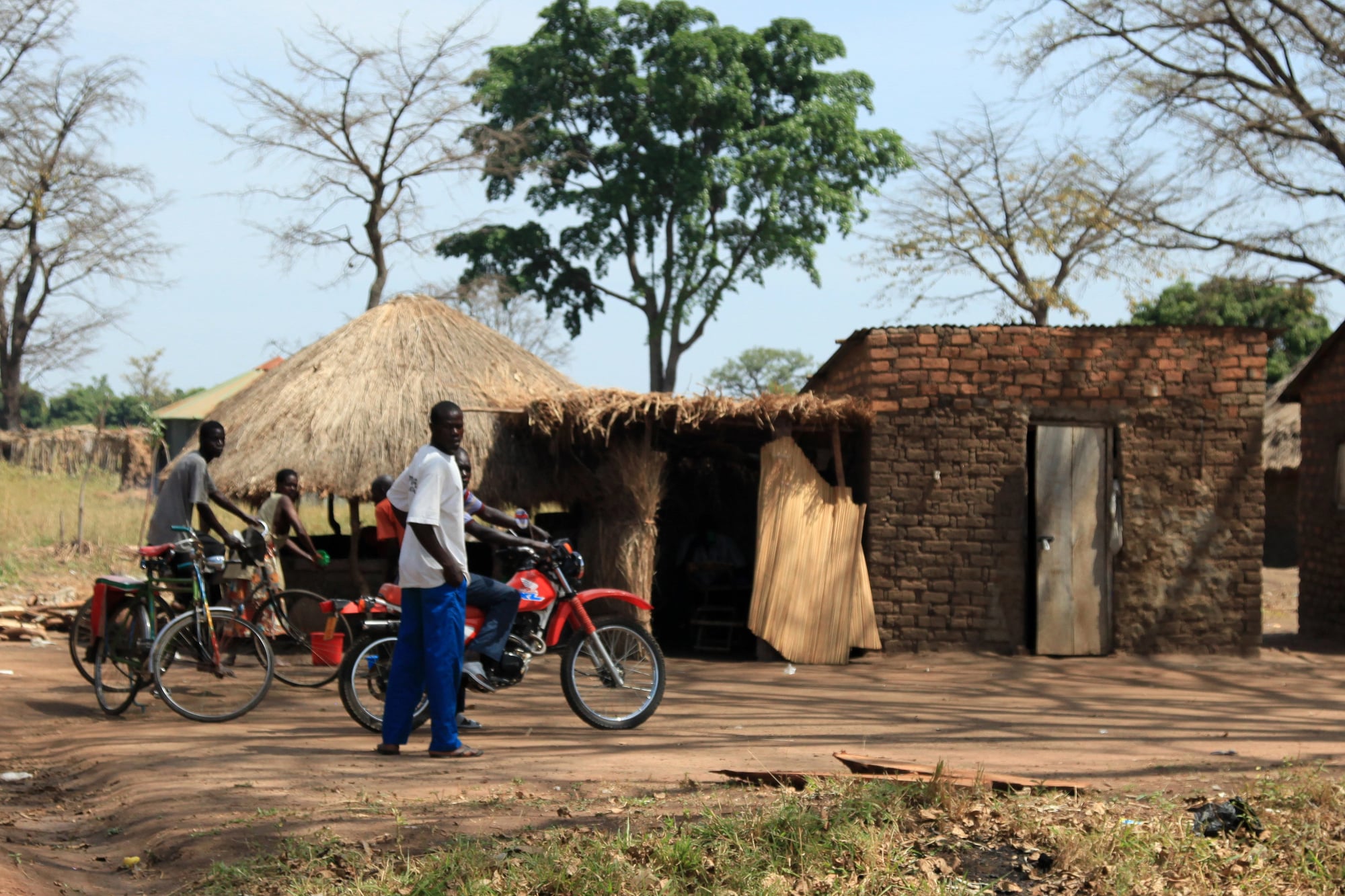
The mirror problem to splitting unified groups was the forced combination of rival ones. In Nigeria, British colonialism amalgamated the largely Muslim, Hausa-Fulani north with the predominantly Christian and animist Yoruba southwest and Igbo southeast — groups with deeply different political traditions, religions, and economic systems — into a single colony in 1914.
The consequence was not unity. It was a state built on unresolved tensions that erupted into the Biafran War between 1967 and 1970, killed between one and three million people, and whose underlying fault lines have never been resolved.
The Belgian Border Decision That Helped Create the Conditions for the 1994 Rwandan Genocide
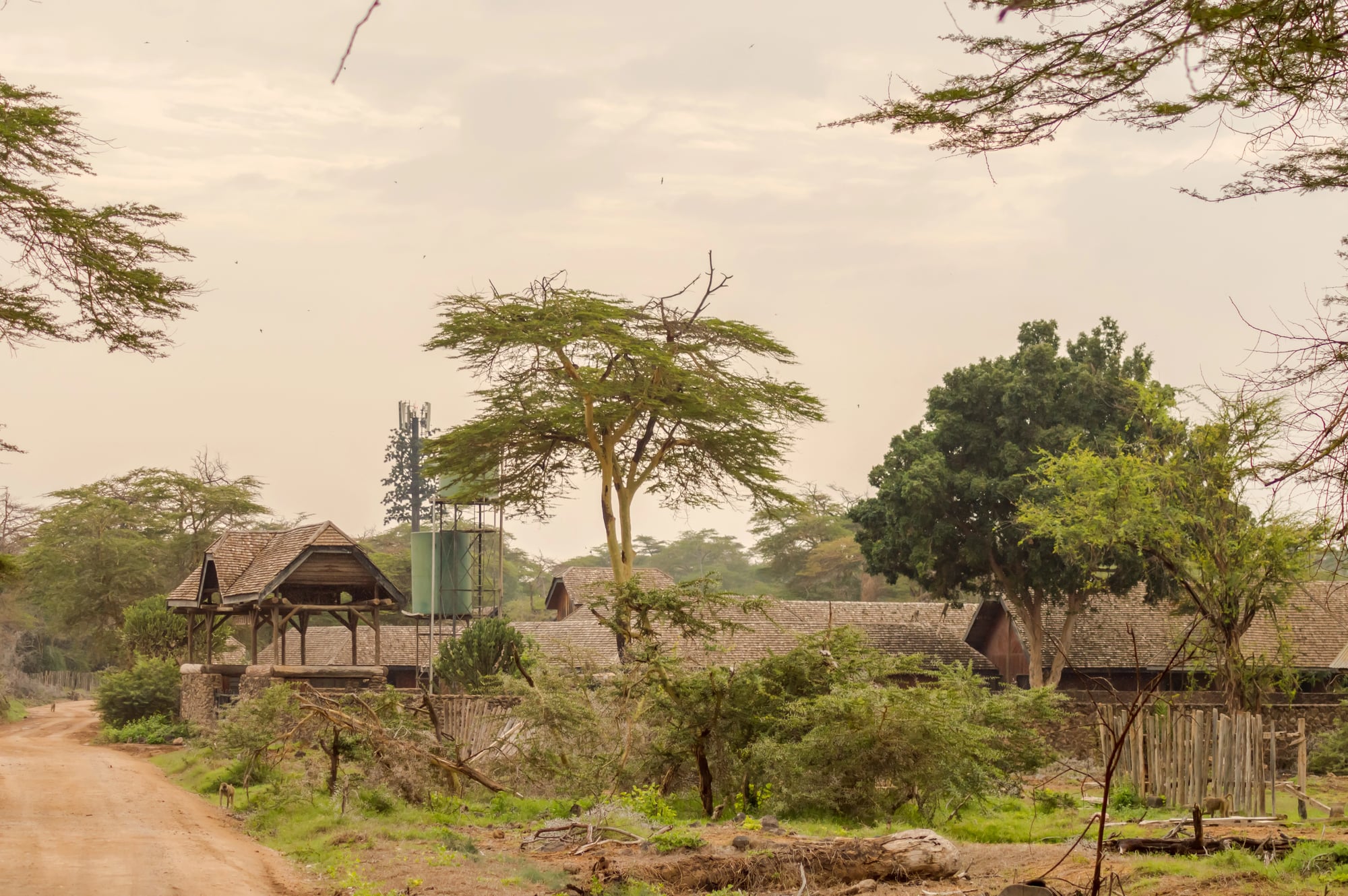
The borders in the Great Lakes region of Central Africa were drawn by European powers with no regard for the complex social and political arrangements among the Hutu, Tutsi, and Twa populations of the region.
Belgian colonial administration then institutionalised ethnic identity through identity cards — formalising categories that had previously been more fluid — and used the Tutsi minority as an administrative class, creating systematic resentment. The 1994 genocide, which killed approximately 800,000 people in roughly 100 days, had causes that stretched across decades of Belgian and post-independence Rwandan politics.
The colonial border arrangements contributed to, though they did not alone determine, that outcome.
The Afar People Were Divided Among Three Countries
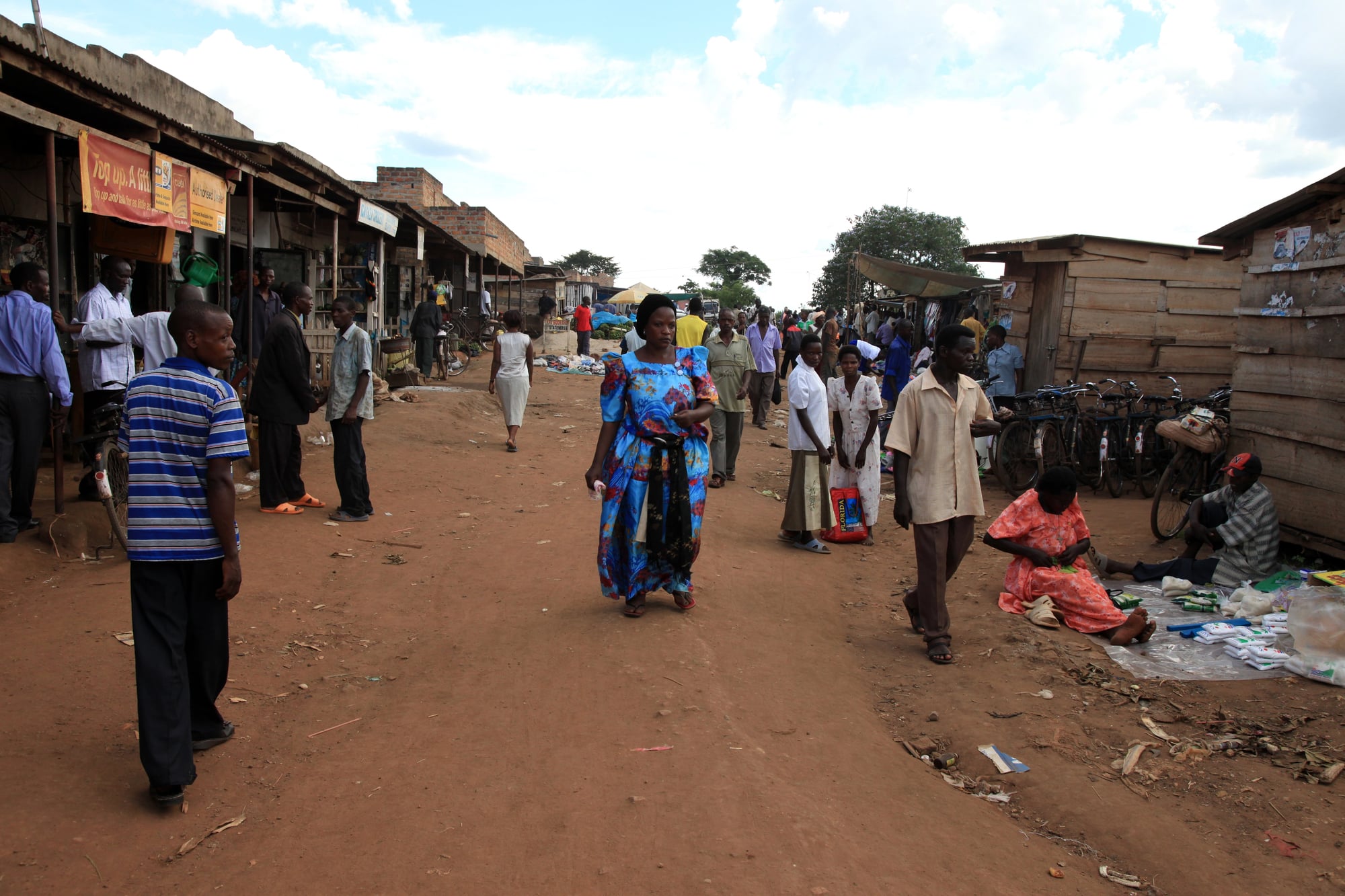
The Afar, who had occupied the triangular lowland region at the conjunction of what are now Ethiopia, Eritrea, and Djibouti, were divided among all three countries by colonial boundaries. Research into civil conflict found that the Afar and Esa peoples experienced five civil wars between 1970 and 2005 — among the highest rates of any ethnic groups in the study.
Both had been severely affected by artificial border partitioning.
Fifteen African Countries Are Landlocked, Largely Because of Colonial Border Drawing
Landlocked countries face structurally higher trade costs than coastal ones — estimates suggest their GDP per capita is roughly thirty percent lower than comparable coastal countries. Fifteen African countries are landlocked.
The borders that produced this landlocked status were not drawn with any reference to the economic interests of African populations. They were drawn according to which European power controlled which coastal port and hinterland at the time of negotiation.
The Scramble Created Borders Longer Than Any African State Could Effectively Police
The total length of African international borders is approximately 83,000 kilometres. These borders cross deserts, rainforests, mountain ranges, and some of the most remote terrain on Earth.
Many colonial-era borders were drawn and then barely visited by administrators for decades. The result was that colonial states could not actually control their borders, and neither could many post-independence governments.
The consequence was not free movement — it was ungoverned zones exploited by armed groups, smuggling networks, and, in later decades, transnational terrorist organisations.
Colonial Borders Were Often Based on Latitude and Longitude, Not Geography
Many of the straightest borders in Africa — particularly across the Saharan and Sahelian regions — were drawn simply by agreeing on a degree of latitude or longitude as the dividing line.
The borders of Libya, Egypt, Sudan, Algeria, Chad, Niger, and Mali contain long straight segments that cut across terrain without reference to rivers, mountains, population centres, or any other feature that might carry actual political meaning.
These lines represented compromise agreements between European negotiators, not recognition of anything existing on the ground.
Colonial Powers Competed to Access Mineral Resources Without Knowledge of What They Were Claiming
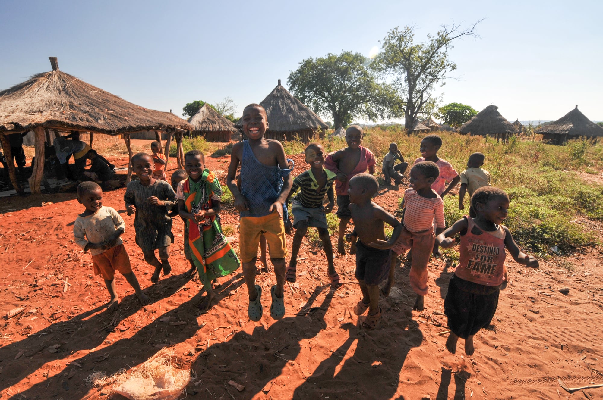
The European powers that divided Africa in the 1880s had limited knowledge of the continent’s actual mineral wealth. The borders they drew were therefore not carefully designed around resource distribution.
In some cases, this meant extraordinary wealth ended up on the wrong side of a border from the people whose ancestors had lived around it for generations. The Democratic Republic of Congo, whose borders were determined largely by the personal claim of Belgian King Leopold II, sits atop one of the richest concentrations of mineral wealth on Earth — cobalt, coltan, gold, diamonds.
The population has derived minimal benefit from this.
Colonial Legal Systems Created Administrative Structures That Excluded Most Africans
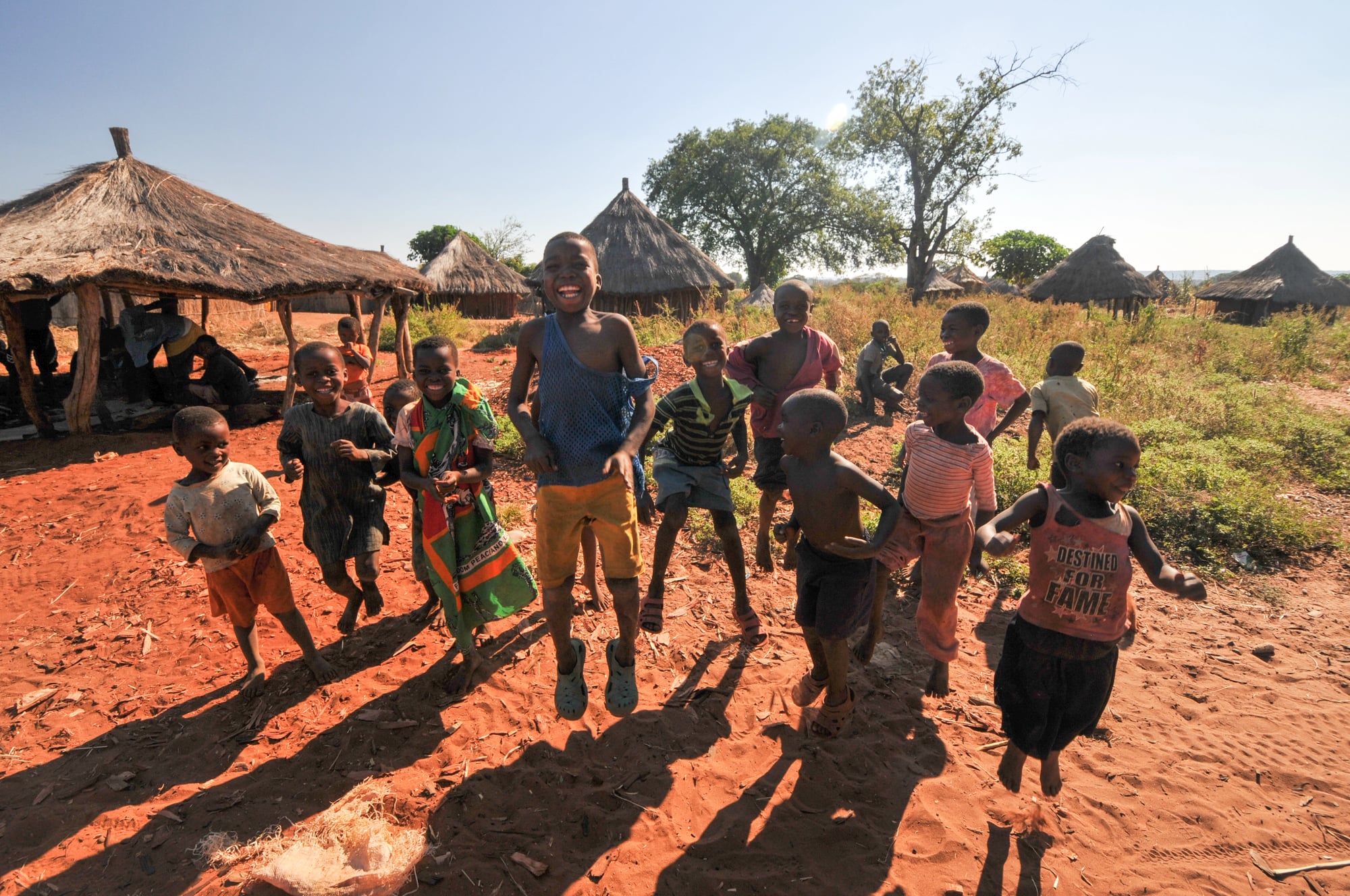
The legal and administrative systems imposed by colonial governments were not designed to serve African populations. They were designed to extract resources and maintain control.
At independence, these were the systems new governments inherited — not neutral administrative tools but apparatus built specifically to facilitate extraction and to concentrate power in ways that served colonial rather than African interests.
Post-independence corruption and authoritarianism in many African countries are partly explicable as the continuation of these inherited structures.
The Casamance Conflict in Senegal Arose Directly From Colonial Border Geometry
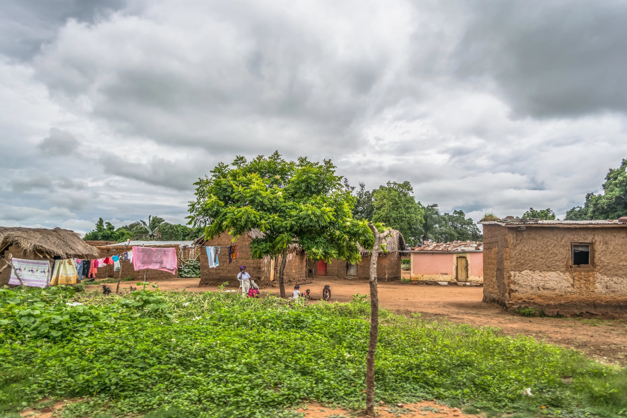
The Gambia, which achieved British colonial status, extends inland along the Gambia River as a thin strip of territory cutting through what would otherwise be Senegal.
The consequence is that Senegal’s southern province of Casamance is physically separated from the rest of Senegal by The Gambia. The Diola people of Casamance, partitioned from their co-ethnics on the other side of the border, developed a secessionist movement that has produced low-level conflict since the 1980s — a direct consequence of the colonial border geometry of the region.
Traditional Trade Networks Were Severed by New Borders
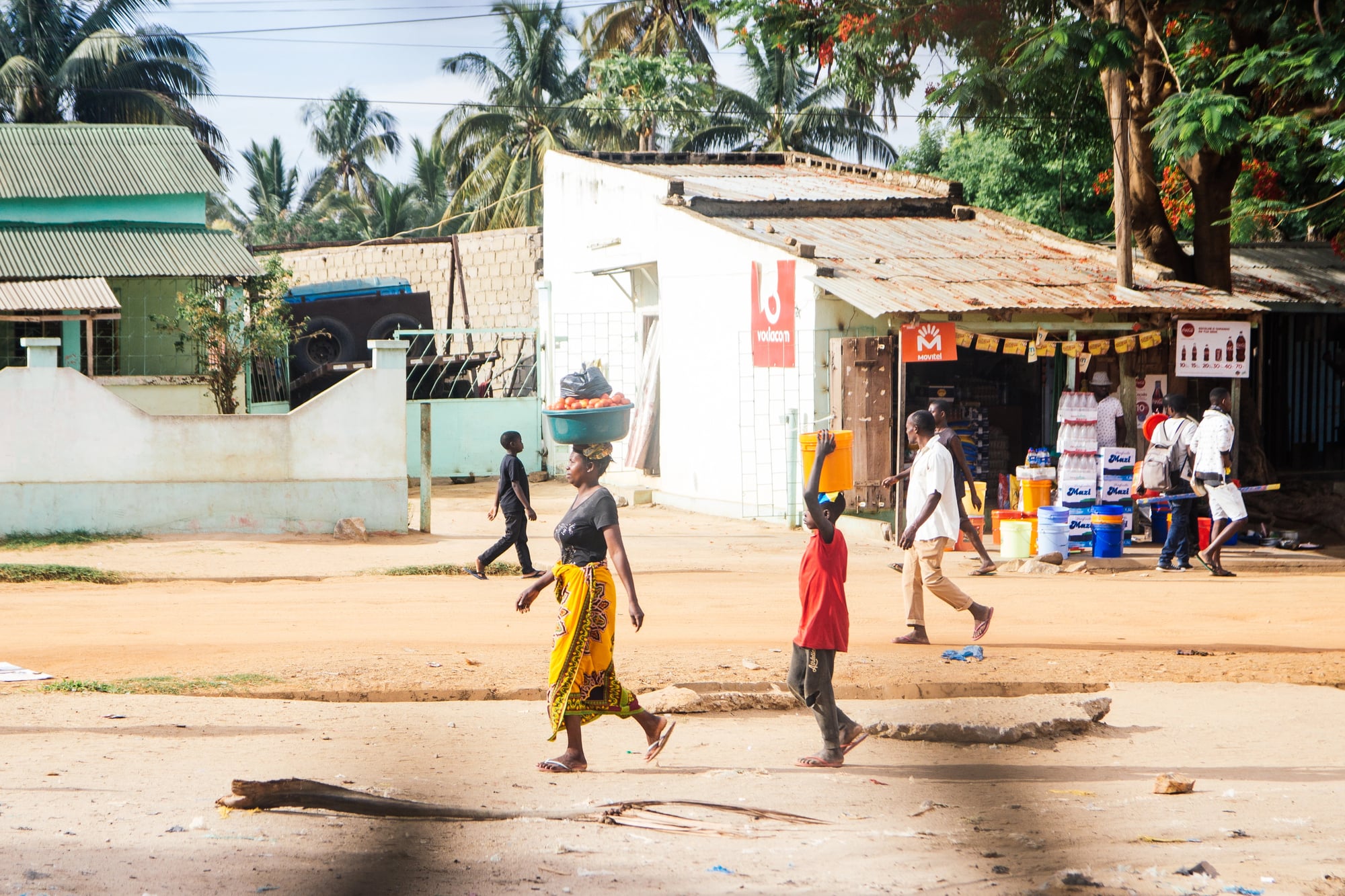
Long before European colonisation, West and East Africa had sophisticated trans-continental trade networks. The trans-Saharan routes connected sub-Saharan gold and salt producers with North African and Mediterranean markets.
East African cities traded with Arabia, India, and China. Colonial borders, by dividing these networks among different administrative systems with different tariff regimes and different official languages, disrupted and in some cases destroyed trading relationships that had existed for centuries.
The Organization of African Unity Voted to Preserve Colonial Borders, Locking In the Consequences
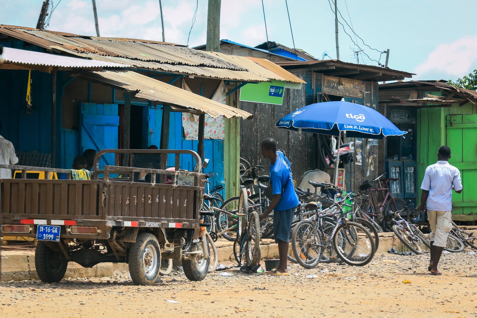
When African states achieved independence in the 1950s and 1960s, they faced a choice: accept the colonial borders or attempt to redraw them.
The Organisation of African Unity, meeting in Cairo in 1964, voted to accept the inherited boundaries. The reasoning was that any attempt to adjust borders would open a continent-wide Pandora’s box of competing claims that no new state would survive.
The decision was rational. It also meant that the injustices built into those borders — the split ethnic groups, the forced combinations, the landlocked countries — were cemented into the post-colonial order.
French Africa’s Common Currency Kept Former Colonies Economically Tied to France Decades After Independence
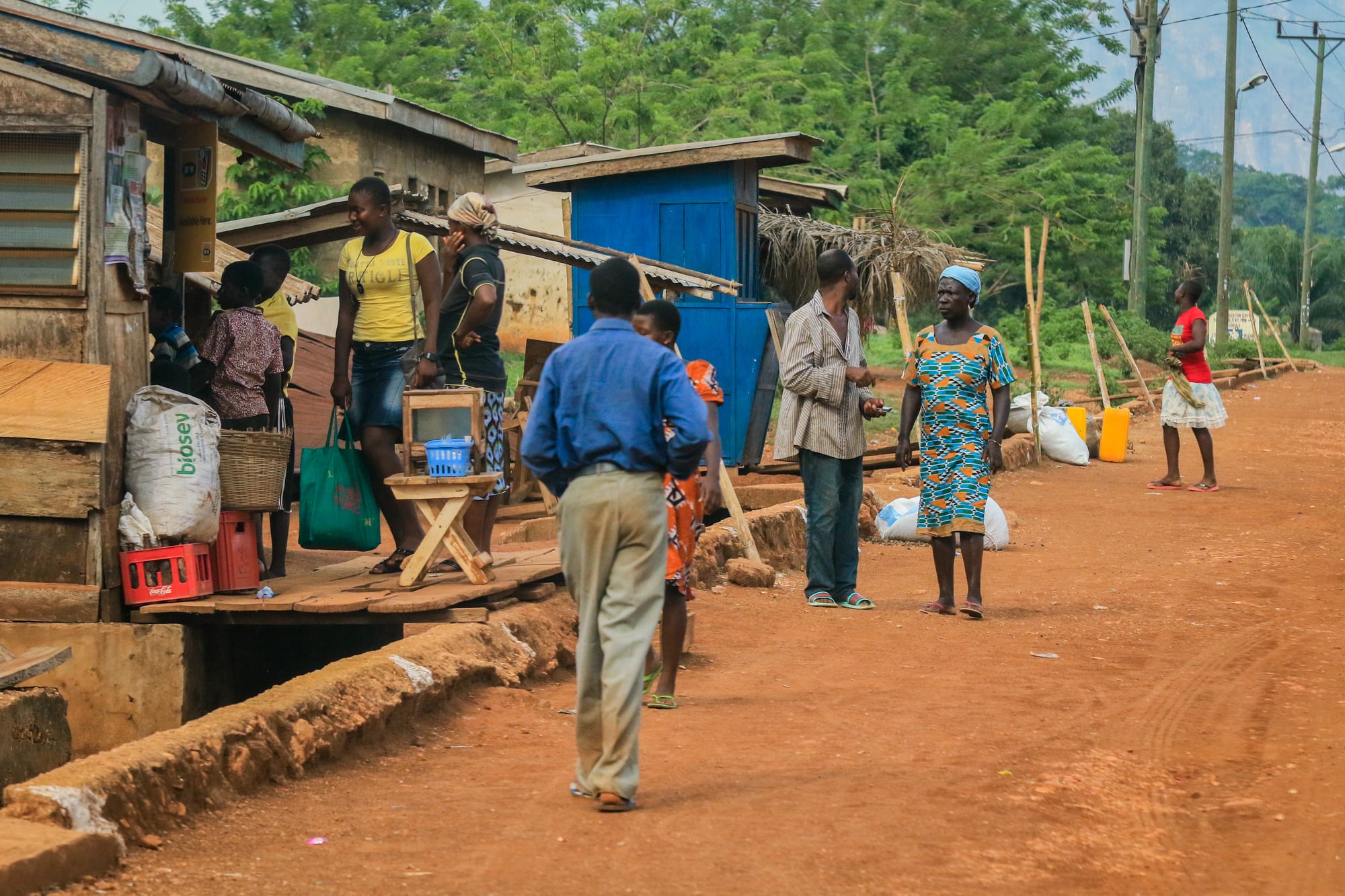
The CFA franc, used by fourteen African countries — most of them former French colonies — was pegged first to the French franc and later to the Euro, with the French treasury guaranteeing its convertibility. Critics argue that this arrangement, which persisted largely unchanged from the colonial era, allowed France to maintain economic influence over former colonies’ monetary policy.
The CFA franc system has been the subject of sustained critique by African economists and politicians, and two monetary unions are in the process of reforming or replacing it as of the 2020s — a reform process that is itself partly a reckoning with the colonial border arrangements that created these monetary zones.
The Democratic Republic of Congo’s Size Made Effective Governance Almost Impossible
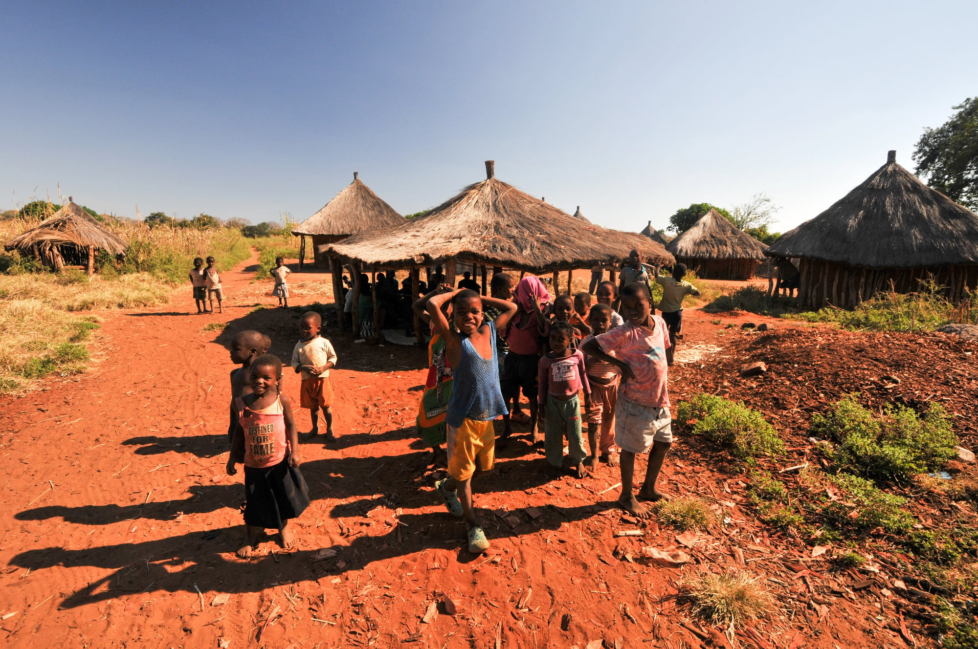
The DRC is roughly the size of Western Europe. Its borders were determined largely by the personal commercial interests of Leopold II, who ran it as a private colony — the Congo Free State — before pressure from international opinion forced the Belgian government to take it over in 1908.
The territorial extent of the country, the extractive infrastructure that was its only developed administrative system, and the lack of any governance tradition designed to serve its population left the independent state that emerged in 1960 facing challenges that few governments anywhere in the world would have been equipped to handle.
Sudan’s North-South Divide Reflected Divergent Colonial Treatment of Its Two Regions
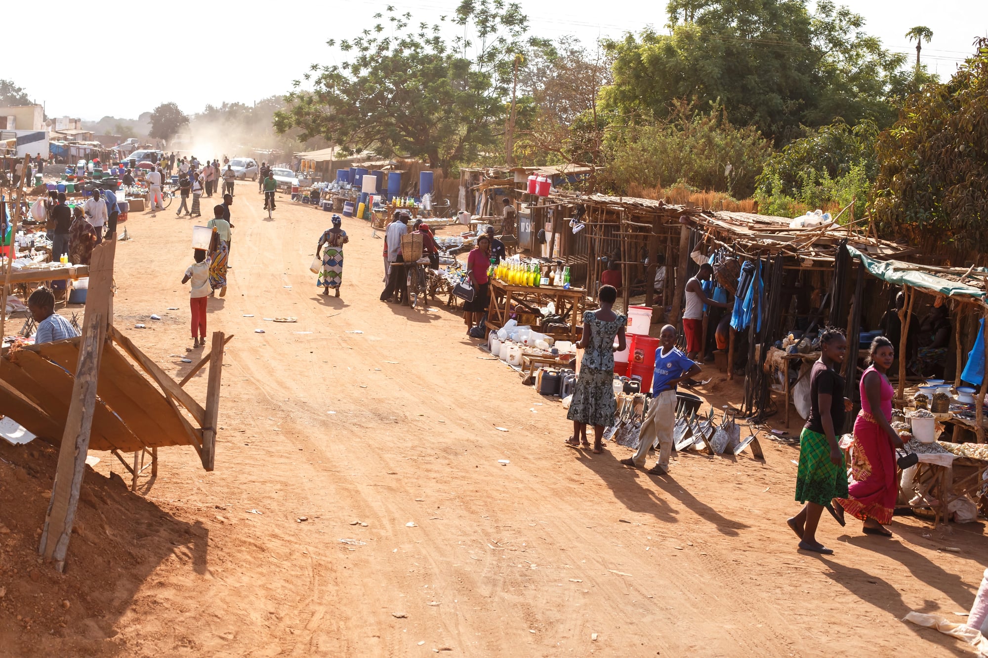
The British colonial administration of Sudan treated the predominantly Arab and Muslim north and the predominantly African and Christian or animist south as essentially separate territories, developing them differently and administering them with different personnel and policies.
At independence in 1956, Sudan was unified as a single state whose two halves had almost no common political tradition, economic infrastructure, or administrative culture.
The result was decades of civil war, the deaths of millions of people, and the eventual partition of the country into Sudan and South Sudan in 2011 — making South Sudan the world’s newest internationally recognised country.
Language Policy Became a Tool of Division
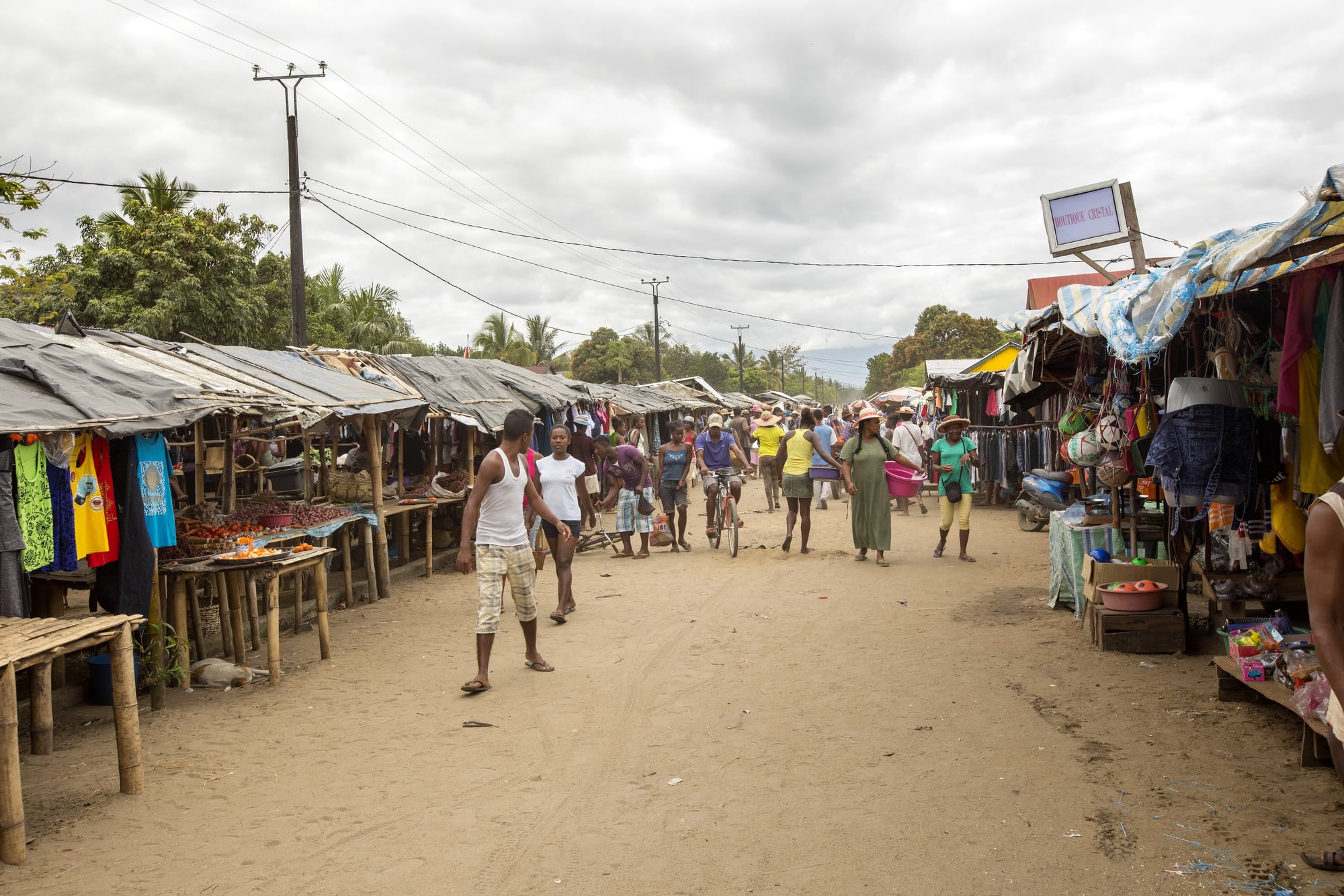
Colonial borders allocated different European languages as the official languages of different territories. This meant that African people divided by a colonial border — who spoke the same indigenous language and shared the same cultural traditions — were, over decades, also separated by the language of their state administration, their courts, their schools, and their newspapers.
French-speaking West Africa and English-speaking West Africa share many of the same ethnic groups and cultural traditions. They are administered in different official languages, trained in different educational systems, and oriented toward different international alliances.
Cross-Border Cattle Herding Communities Were Criminalised
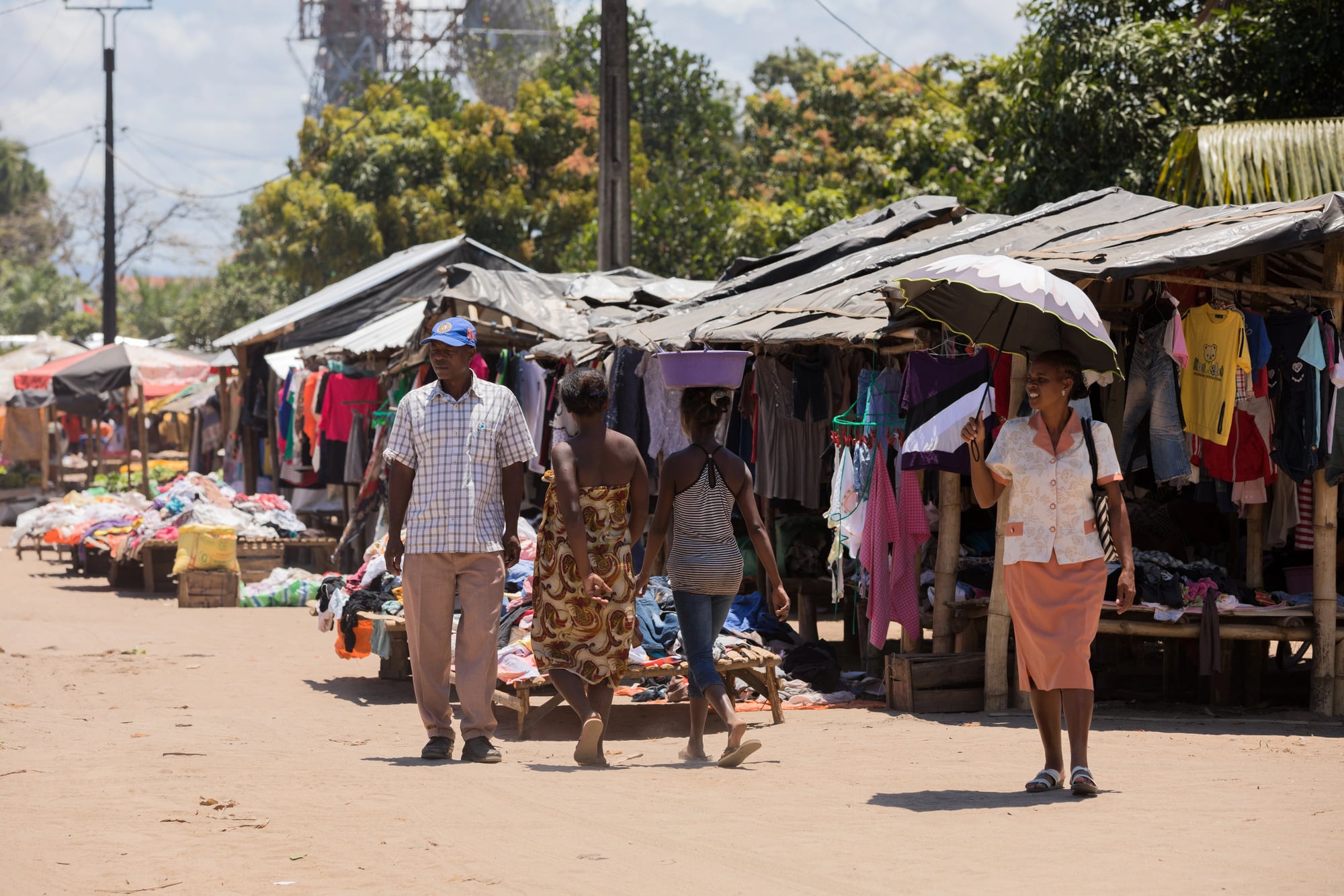
Pastoralist communities across the Sahel and East Africa had practised seasonal migration across vast territories for centuries, following rainfall and grazing. Colonial borders, and later the enforcement policies of post-independence governments, converted this traditional migration into criminal trespass.
Cattle herders crossing borders without permission became smugglers by definition. The criminalisation of movement that had been economically rational for generations contributed to poverty among these communities and generated conflict with settled farming communities that colonial and post-colonial borders had made into separate nationalities.
Colonial Borders Made Refugee Crises Worse
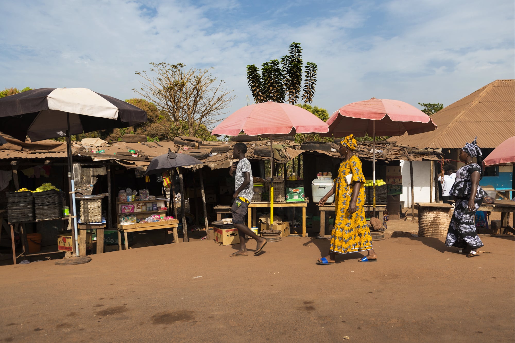
African borders were porous enough to be crossed but recognised enough to be used to define refugees and displaced persons. When conflicts erupted — and the ethnic tensions produced by colonial border arrangements generated many of them — people fleeing violence crossed borders to find themselves in countries that treated them as foreigners, subject to refugee law rather than citizens’ rights.
The border that meant nothing to an ethnic community in peacetime became a determining legal fact the moment violence drove people across it.
Resource Revenue Disputes Between Split Communities Generated Conflict
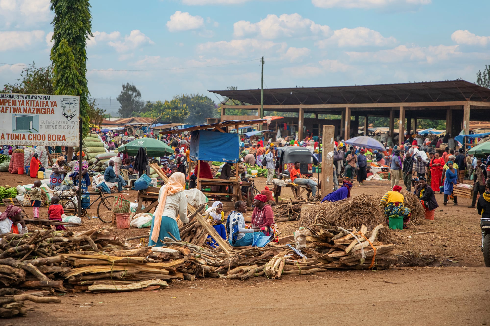
When oil was discovered in Nigeria’s Niger Delta region in the 1950s and 1960s, the revenue flowed to the federal government and was distributed among Nigeria’s population according to political formula — not to the communities living above the oil.
The communities most directly affected by oil extraction — the Ogoni and Ijaw peoples, among others — received minimal benefit and bore the environmental costs. The resulting tension contributed to the Movement for the Emancipation of the Niger Delta, to Ken Saro-Wiwa’s execution in 1995, and to ongoing militancy in the Delta that has disrupted Nigerian oil production for decades.
The underlying pattern — resources extracted from one community and distributed to others — was colonial in design.
The Sahel Crisis of the 2010s Was Partly Rooted in Colonial Border Arrangements
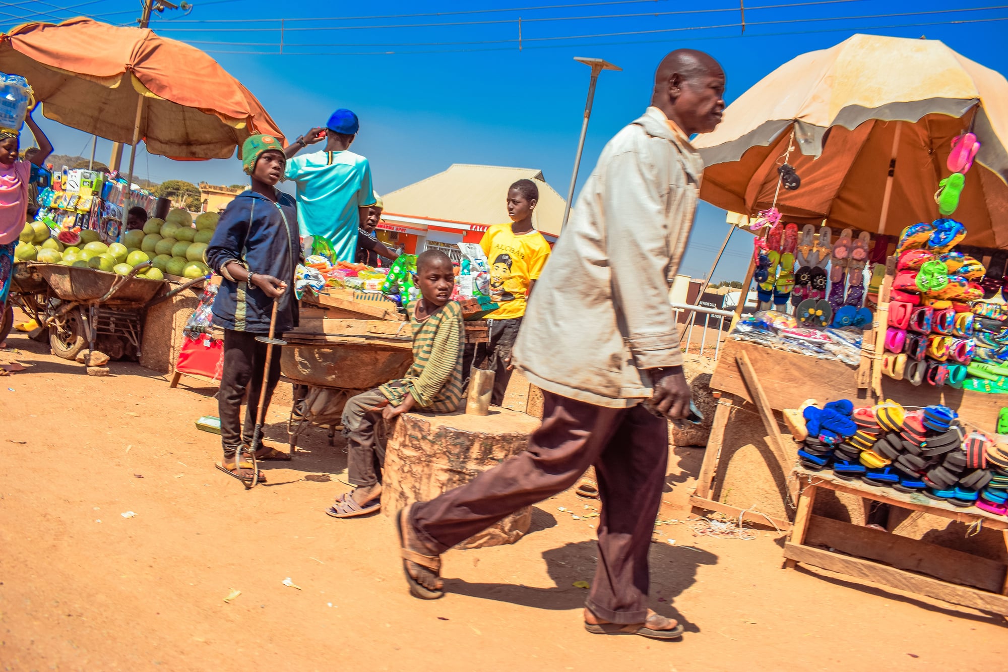
The deterioration of security across Mali, Burkina Faso, Niger, and Chad from 2012 onward involved a complex mix of causes: climate change, weak governance, the collapse of the Libyan state, and the activities of jihadist organisations.
But a significant contributing factor was the long-standing marginalisation of partitioned ethnic groups — particularly the Tuareg and Fulani — who had been excluded from political power in the states that claimed their territory.
When the Malian state collapsed in 2012 following a military coup, one of its triggers was a Tuareg rebellion in the north — a rebellion that expressed grievances that traced back directly to the colonial border arrangements of the 1880s.
Post-Colonial Governments Inherited Repressive Institutions Designed for Extraction
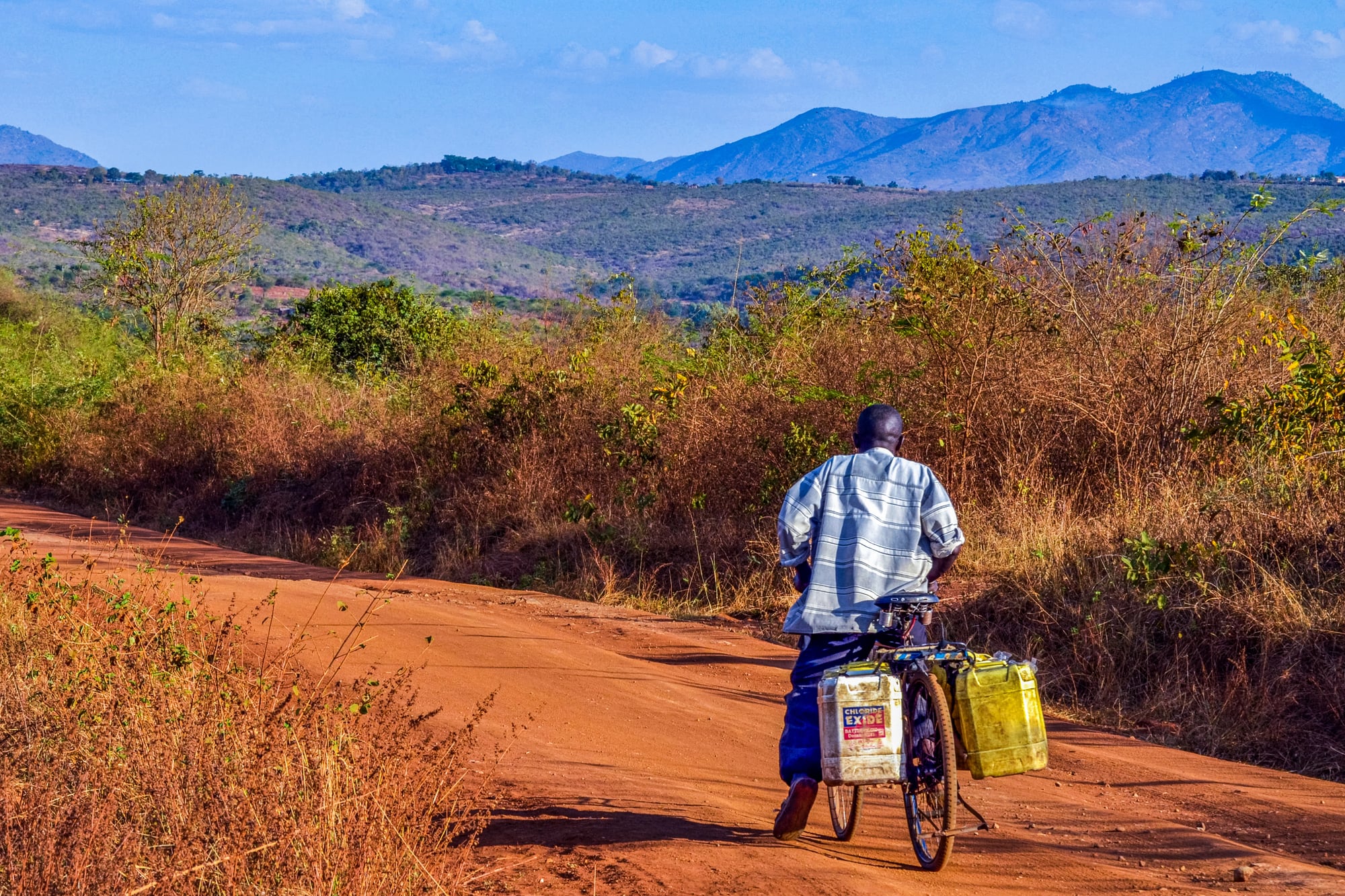
The administrative apparatus of colonial states — the police, the courts, the land registration systems, the tax collection mechanisms — was designed to extract resources and maintain control over populations, not to provide services.
When colonial powers departed, these institutions remained. Post-independence governments who used these institutions to consolidate power were, in a meaningful sense, continuing the colonial project under different management.
This is not an excuse for authoritarianism — it is a description of the structural problem that governance in many African states has faced since independence.
African States Have Spent More on Internal Security Than External Defence
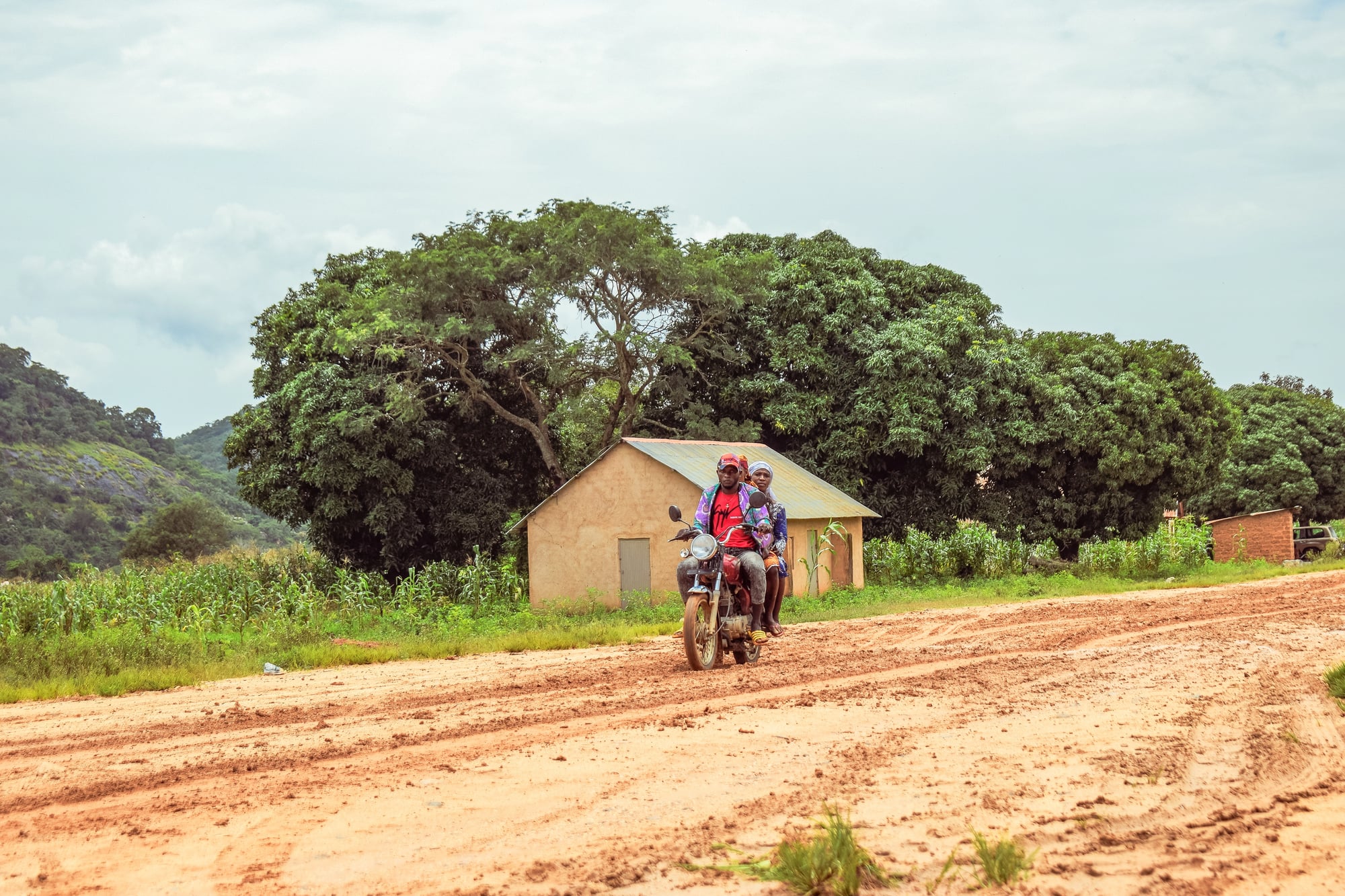
Because the threats to most African states have been internal — secessionist movements, ethnic conflict, coups — governments have historically spent disproportionate resources on internal security apparatus relative to external military capability.
This internal security spending was itself often a tool of ethnic repression, as governments used the security forces to suppress politically marginalised groups whose marginalization traced back to colonial border arrangements.
The pattern is self-reinforcing: colonial borders create ethnic tensions, ethnic tensions require security spending, security spending is directed at ethnic minorities, the minorities resist, the security apparatus expands.
Some Borders Have Begun to Be Renegotiated
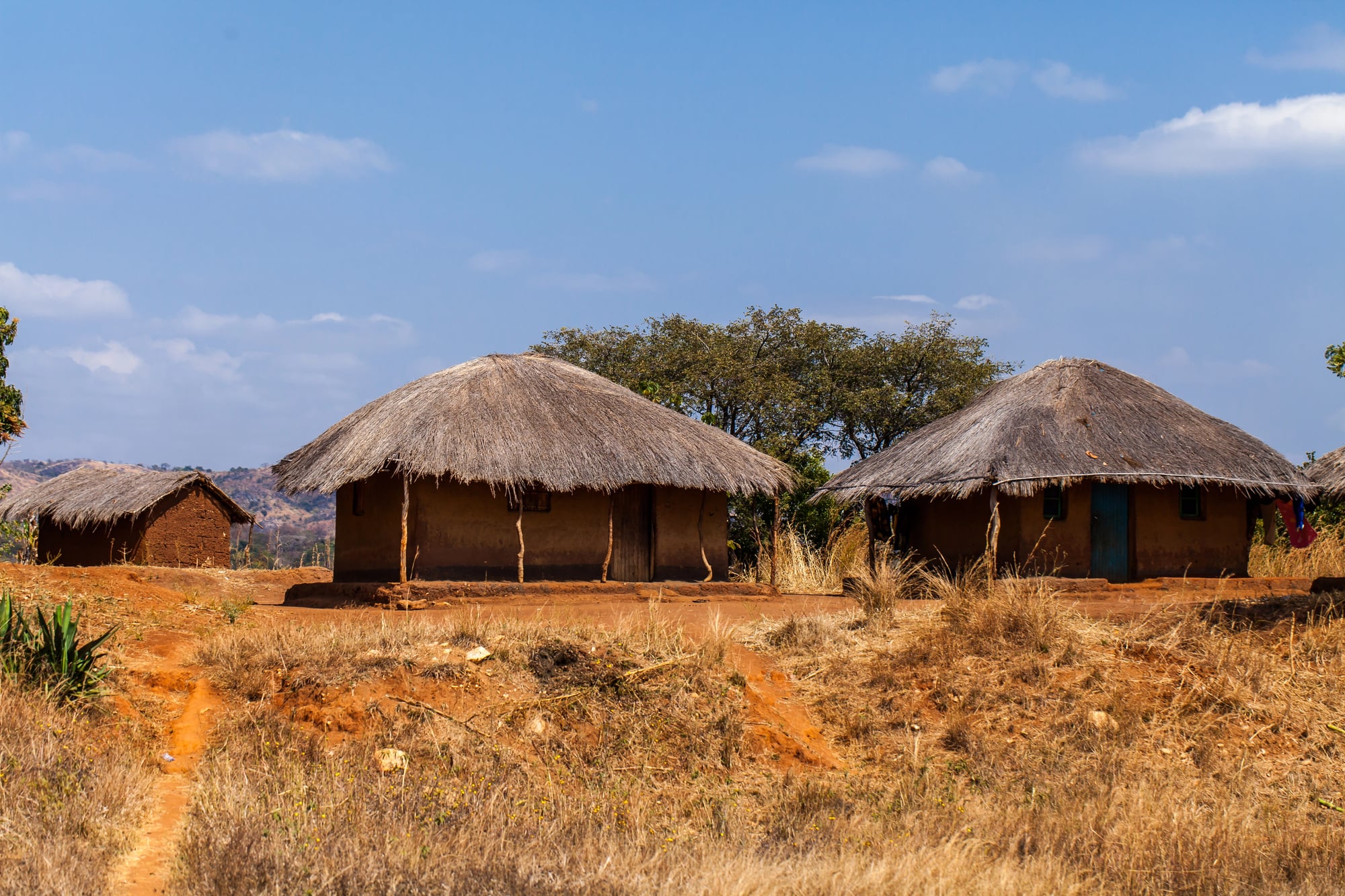
The creation of South Sudan in 2011 was the most significant redrawing of an African border in the post-colonial era. It resolved, partially, the consequences of Sudan’s colonial division — though South Sudan immediately faced its own internal conflicts along ethnic lines, suggesting that borders alone do not resolve the underlying problems.
Several other territorial disputes — between Ethiopia and Eritrea, between Morocco and Western Sahara, in the Casamance — remain unresolved. The African Union, which replaced the OAU in 2002, has maintained the general principle of border preservation while acknowledging more openly than its predecessor did that those borders were products of an unjust process.
The Straight Line as a Statement of Power
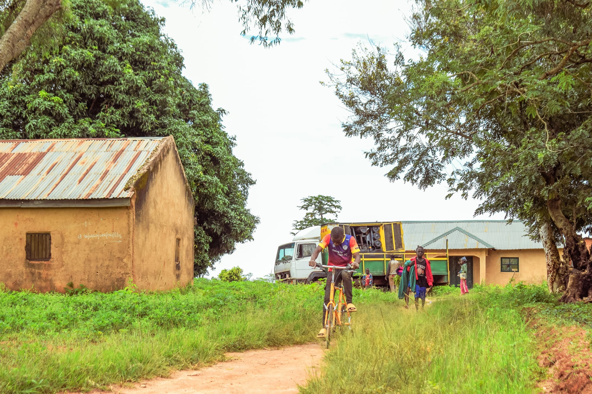
A straight-line border drawn across a continent by people who had never visited it is not neutral. It is a statement about whose knowledge matters, whose authority counts, and whose existence is worth considering.
The lines that European negotiators drew in 1884 and 1885 encoded a very clear answer to each of these questions. The consequences of those answers — the conflicts, the economic disadvantages, the forced identities, the disrupted communities — are not historical footnotes.
They are the present condition of people alive today.
What happened in Berlin in 1884 was not a geographical exercise. It was a political decision, taken in someone else’s interest, applied to someone else’s land, and defended — when it was defended at all — with the explicit argument that the people whose lives it affected were not capable of making these decisions for themselves.
The borders remain. The argument has changed. The consequences have not finished arriving.
More from Go2Tutors!

- The Romanov Crown Jewels and Their Tragic Fate
- 13 Historical Mysteries That Science Still Can’t Solve
- Famous Hoaxes That Fooled the World for Years
- 15 Child Stars with Tragic Adult Lives
- 16 Famous Jewelry Pieces in History
Like Go2Tutors’s content? Follow us on MSN.