31 Borders That Were Redrawn Overnight Without a Public Vote
When Lines on a Map Change Everything
Maps look permanent. They sit in textbooks and hang on classroom walls with an authority that feels geological — as if the borders between nations were always there, as inevitable as coastlines. But borders are political, which means they are fragile, negotiable, and occasionally redrawn by a handful of people in a room while everyone else is asleep.
Throughout history, territories have shifted, nations have appeared or vanished, and populations have woken up to find themselves citizens of a different country without ever being asked their opinion. No referendum. No public debate. Just a signed document, a midnight announcement, or the advance of troops — and suddenly the map looks different. Some of these changes resolved genuine conflicts. Others created new ones that lasted generations. All of them remind you that the lines separating one country from another are thinner, and far more arbitrary, than they appear.
The Partition of India and Pakistan
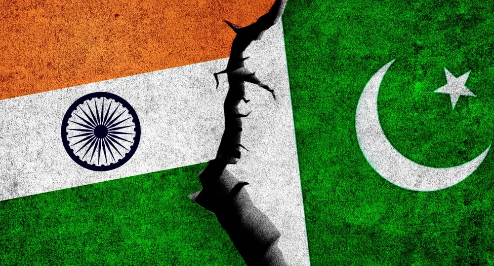
Britain divided the Indian subcontinent into two nations in August 1947, handing the job of drawing the line to Cyril Radcliffe — a lawyer who had never set foot in India before the assignment. He completed the border in five weeks.
The resulting partition triggered one of the largest forced migrations in human history, displacing somewhere between 10 and 20 million people, and the violence that followed killed hundreds of thousands.
The Creation of the Inner German Border
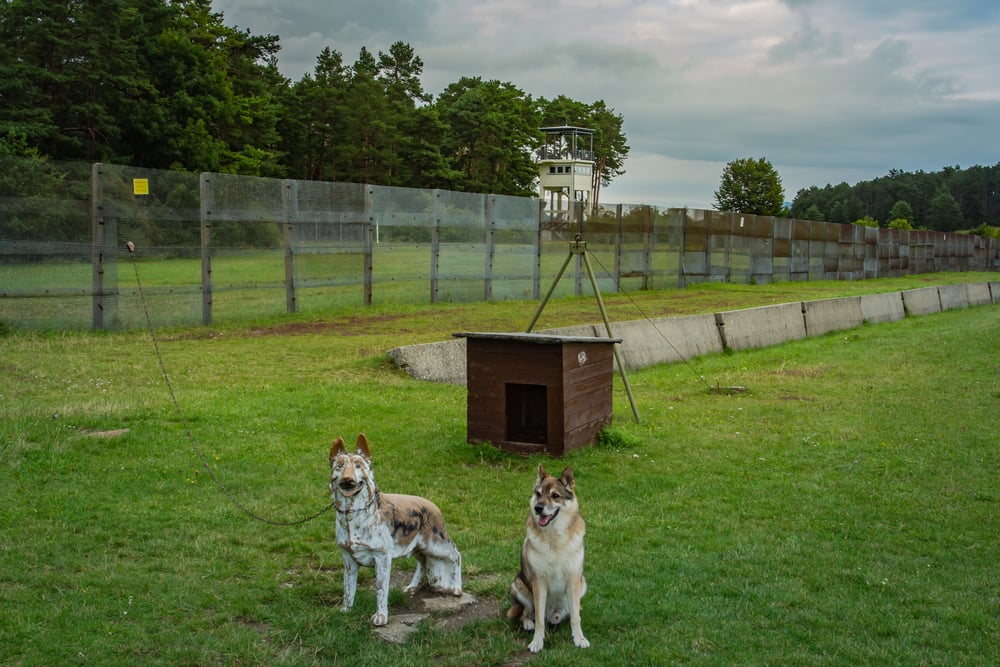
When the Soviet Union and the Western Allies divided Germany after World War II, the internal border between East and West was not put to a vote by German citizens. It was decided at Potsdam in 1945 by the occupying powers, and it split families, towns, and in some cases individual streets.
The wall in Berlin came later — but the division itself arrived first, imposed from outside.
The Molotov–Ribbentrop Pact’s Secret Protocol
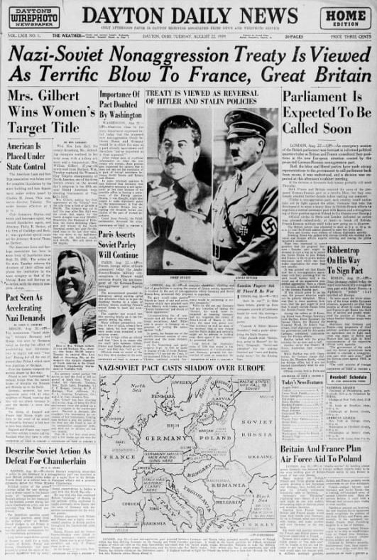
In August 1939, Nazi Germany and the Soviet Union signed a non-aggression pact — and buried inside it, in a secret protocol, was an agreement dividing Eastern Europe into spheres of influence. Estonia, Latvia, Lithuania, Finland, and parts of Romania and Poland were allocated between two dictatorships without the knowledge of the people living there.
The populations of the Baltic states, in particular, spent the next half-century living inside borders that had been quietly drawn over their heads.
The Sykes-Picot Agreement
Two diplomats — one British, one French — sat down in 1916 and divided the Arab territories of the Ottoman Empire between their respective governments. Mark Sykes and François Georges-Picot drew straight lines through landscapes, communities, and tribal territories as if the people living there were irrelevant to the calculation.
The borders they sketched became the rough foundations of Iraq, Syria, Lebanon, and Jordan — countries whose internal tensions have, to a significant degree, never recovered from that afternoon’s cartography.
The Soviet Annexation of Eastern Poland
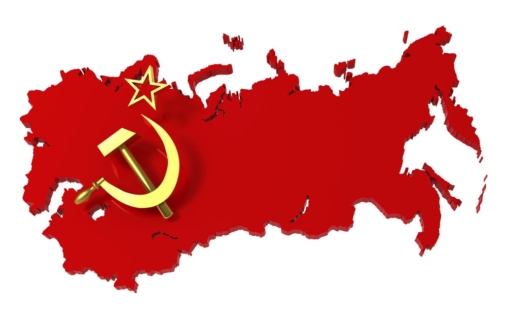
In September 1939, two weeks after Germany invaded Poland from the west, Soviet forces crossed Poland’s eastern border. The regions absorbed — home to a mixed population of Poles, Ukrainians, Belarusians, and Jews — were incorporated into Soviet Ukraine and Soviet Byelorussia.
Nobody living there was consulted, and when the war ended, the border adjustments were largely ratified by the victorious Allies at conferences the Polish government-in-exile was not invited to shape.
The Division of Korea
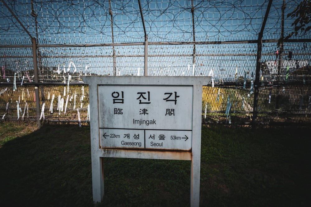
Korea was divided at the 38th parallel in 1945 by two American officers working from a National Geographic map, with the Soviet Union agreeing to the line in a matter of hours. The division was meant to be temporary — a logistical arrangement for accepting Japanese surrenders.
It became permanent instead, and the Korean War that followed it left a demilitarized zone roughly 160 miles long and 2.5 miles wide that still bisects the peninsula today.
The Transfer of Alsace-Lorraine
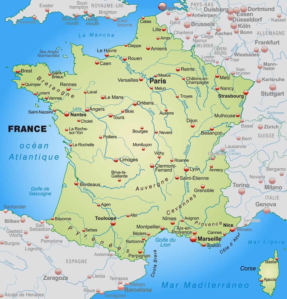
France lost Alsace and most of Lorraine to the newly unified German Empire after the Franco-Prussian War in 1871, under the Treaty of Frankfurt. The people living in those regions — many of whom spoke both French and German and identified with neither side’s nationalism particularly — were not asked.
After World War I, the territory reverted to France under the Treaty of Versailles. It changed hands again under Nazi occupation in 1940, and reverted to France again in 1945. The same land, flipped four times in seventy years.
The Soviet Annexation of the Baltic States
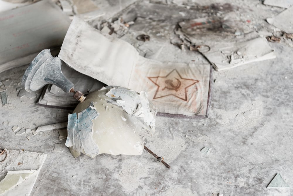
In June 1940, the Soviet Union issued ultimatums to Estonia, Latvia, and Lithuania demanding the right to station unlimited numbers of troops on their territory and the installation of Soviet-approved governments. Within weeks, all three countries had been incorporated into the USSR as Soviet republics — a process dressed up with stage-managed parliamentary votes that held roughly the same democratic weight as a signature obtained at gunpoint.
The annexation was never recognized by the United States, which is a small footnote that turned out to matter enormously fifty years later.
The Partition of Cyprus
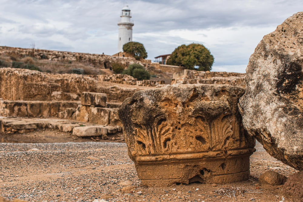
In 1974, Turkish forces invaded northern Cyprus following a coup backed by the Greek military junta. The ceasefire line — the Green Line — cut across the island, and in 1983 the northern portion declared itself the Turkish Republic of Northern Cyprus, recognized internationally by exactly one country: Turkey.
The division still stands, making Nicosia the last divided capital city in the world, the line running straight through the old city in ways that still feel, walking it, like something that hasn’t fully processed what happened to it.
The Soviet Transfer of Crimea
In 1954, Nikita Khrushchev transferred Crimea from the Russian Soviet Federative Socialist Republic to the Ukrainian Soviet Socialist Republic. The decision was made administratively, within the structure of a state where internal borders were considered relatively inconsequential since everything was Soviet anyway.
When the USSR dissolved in 1991, the transfer suddenly mattered enormously — and Crimea, with its ethnically Russian majority and its Russian Black Sea Fleet, became a live political fault line that Russia ultimately resolved by annexation in 2014.
The Annexation of Crimea
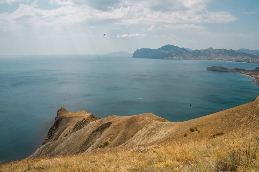
Russia’s annexation of Crimea in March 2014 was preceded by a referendum, but the referendum was held under military occupation, with Russian troops stationed outside polling stations, and with a ballot that offered no option for maintaining the pre-crisis status quo. The international community, with few exceptions, refused to recognize the result.
So the territory changed hands, a population of roughly 2.4 million people changed legal nationality, and the border moved — all within a few weeks.
The Dissolution of Czechoslovakia
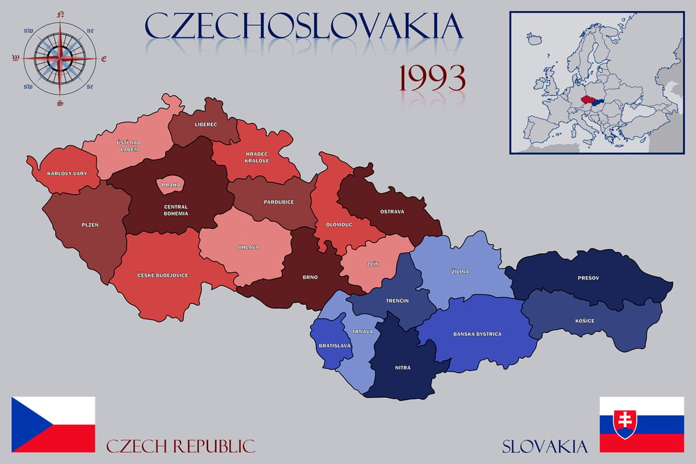
On January 1, 1993, Czechoslovakia became two separate countries — the Czech Republic and Slovakia — in what was called the Velvet Divorce. The decision was made by the parliaments of the two constituent republics, not by popular referendum.
Polls at the time suggested the majority of citizens in both halves would have preferred the country to remain united. The politicians decided otherwise, and the map changed anyway.
The Berlin Blockade and Allied Zones
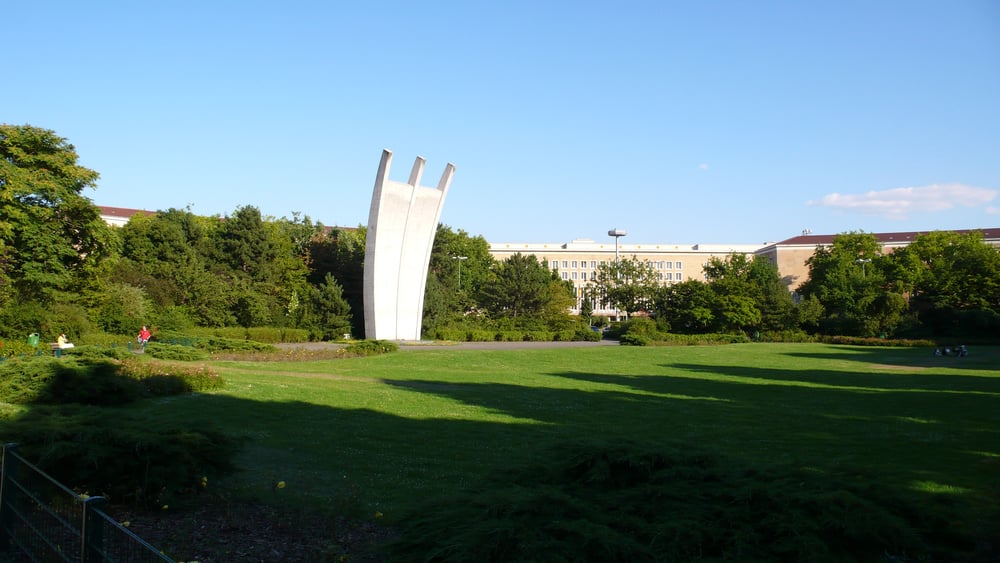
When Germany was divided into occupation zones in 1945, the population of Berlin found itself inside a city partitioned between four powers — American, British, French, and Soviet — without anything resembling public consent. The Soviet zone later became East Germany, and West Berlin became an island of Western territory roughly 110 miles inside a communist state, accessible by road and rail only through Soviet-controlled territory.
The city’s inhabitants didn’t design this arrangement. They inherited it.
The Incorporation of Tibet
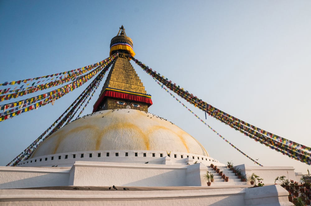
China’s People’s Liberation Army entered Tibet in 1950, and the following year a Seventeen Point Agreement was signed by Tibetan representatives under conditions the Tibetan government later described as coercive. Tibet was incorporated into the People’s Republic of China, its traditional administrative boundaries were reorganized, and its government eventually dissolved.
The Dalai Lama fled in 1959. The population had no mechanism through which to consent or refuse.
The Redrawing of Poland’s Western Border
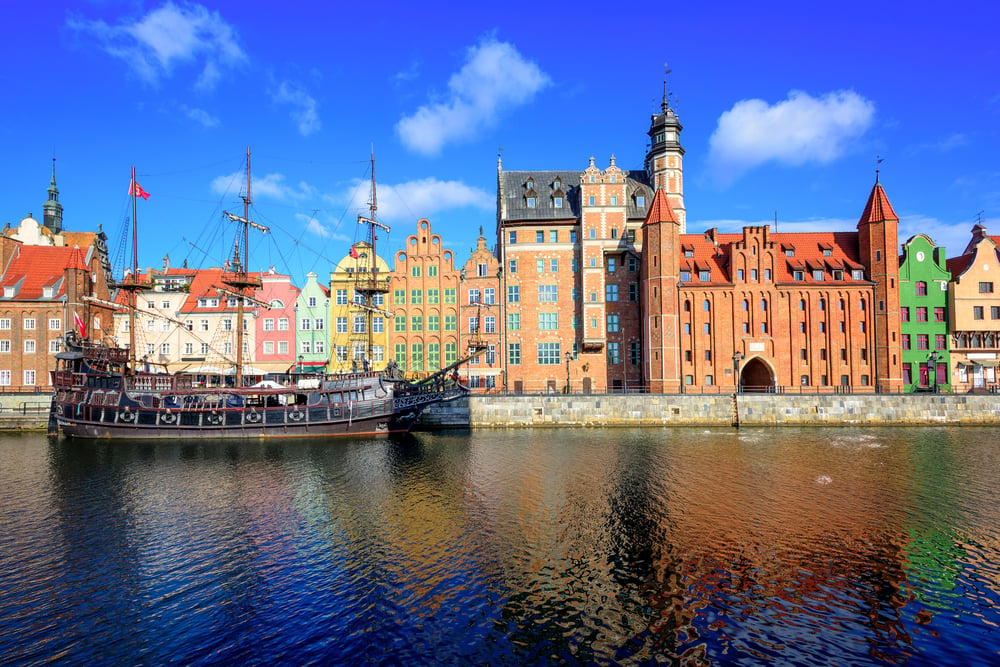
After World War II, Poland was effectively moved westward — losing its eastern territories to the Soviet Union while gaining former German territory east of the Oder and Neisse rivers. This decision was made at Potsdam by the Big Three: the United States, Britain, and the Soviet Union.
Millions of ethnic Germans were expelled from the new Polish territories, and millions of Poles were expelled from the eastern territories now absorbed by the USSR. The people being moved were told after the decision was made, not before.
The Creation of Israel
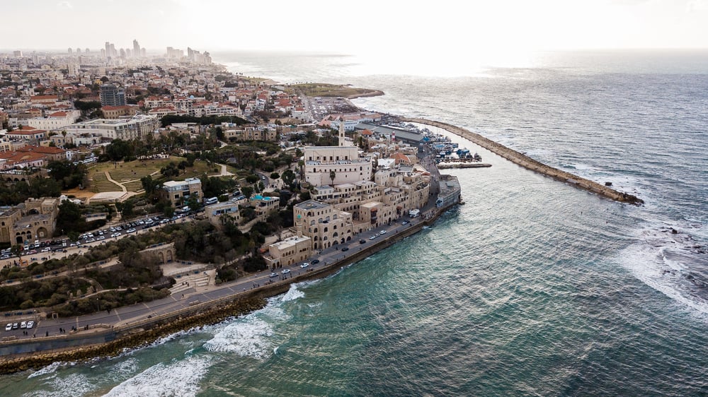
Israel declared independence on May 14, 1948, the day before the British Mandate for Palestine expired. The borders of the new state were not settled by referendum — they were the product of the 1948 Arab-Israeli War, which ended with armistice lines that became known as the Green Line.
The Arab population living within those lines had not voted on the partition plan the United Nations had proposed in 1947, and the plan itself was never implemented in the form originally drawn.
The Soviet Absorption of East Prussia
After World War II, the northern half of the German province of East Prussia was annexed by the Soviet Union and reorganized as the Kaliningrad Oblast — renamed after a Soviet official and administered as part of Russia. The German population was expelled.
Today Kaliningrad is a Russian exclave sandwiched between Poland and Lithuania, still technically Russian territory despite being physically detached from Russia by several hundred miles. It is, geographically speaking, an answer to a question nobody asked.
The Annexation of Austria
Nazi Germany’s annexation of Austria in March 1938 — the Anschluss — was accompanied by a referendum held after the fact, under conditions of Nazi occupation, producing a reported 99.7% approval rate. Historians are not inclined to treat that number seriously.
Austria ceased to exist as an independent state and became part of the German Reich, its borders dissolved, its institutions absorbed. The merger lasted until the end of World War II, when Austria was re-established as a separate country under Allied occupation.
The Franco-Spanish Border Adjustments After Napoleonic Wars
The Congress of Vienna in 1815 reaffirmed and adjusted dozens of European borders following the Napoleonic Wars, and the Pyrenean border between France and Spain was among those quietly tidied up by diplomats representing the great powers. Villages that had existed in ambiguous territorial status for centuries found themselves formally assigned to one country or another.
The people in those villages were not among the parties seated at the table in Vienna.
The Division of Vietnam
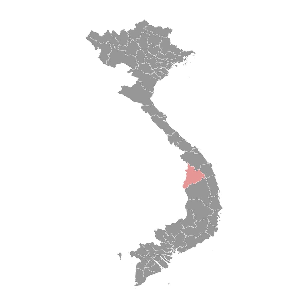
Vietnam was divided at the 17th parallel in 1954 under the Geneva Accords, following France’s defeat at Dien Bien Phu. The accords called for nationwide elections in 1956 to reunify the country — elections that never happened, largely because the United States and South Vietnam refused to hold them on the reasonable assumption that Ho Chi Minh would win.
So the temporary military demarcation line became a permanent international border, and a country that had been promised a vote on its own future never received one.
The Annexation of Sudetenland
The Munich Agreement of September 1938 handed the Sudetenland — the border regions of Czechoslovakia with large ethnic German populations — to Nazi Germany. Britain, France, Italy, and Germany signed the agreement.
Czechoslovakia was not invited to the conference at which its territory was being discussed. The Czechoslovak government was informed of the outcome and told it had no choice but to accept. Appeasement, as it turns out, is just another word for a border change made without asking the people it affects.
The Creation of Bangladesh
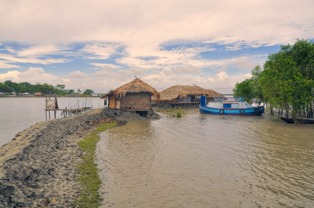
Bangladesh declared independence from Pakistan in March 1971, but the borders of the new state were settled through a brutal war that killed hundreds of thousands — estimates range much higher, into the millions — and displaced roughly 10 million people into India. The partition of what had been East Pakistan into a new country was not the result of a negotiated agreement or a referendum.
It was the result of a military conflict and Indian intervention, concluded with a Pakistani surrender in December 1971.
The Soviet Redrawing of Central Asian Borders
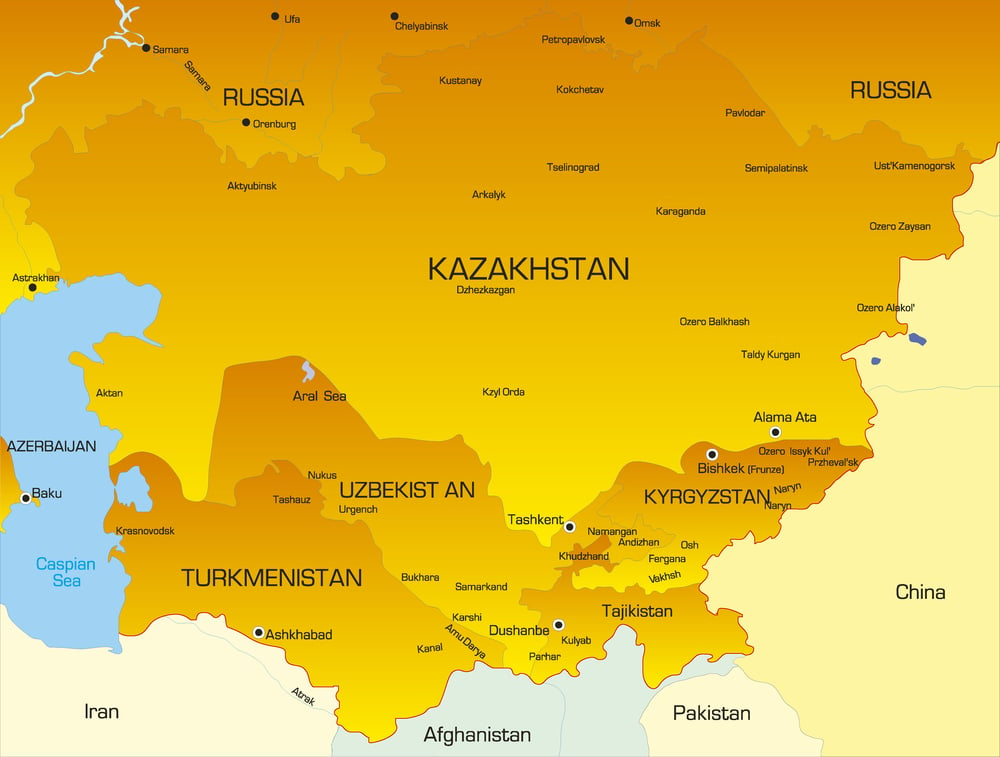
In the 1920s and 1930s, Stalin reorganized Soviet Central Asia into national republics with borders that were, at minimum, eccentric — and at maximum, deliberately designed to keep ethnic groups divided and republics dependent on Moscow. The Fergana Valley, for example, was carved up among Uzbekistan, Kyrgyzstan, and Tajikistan in ways that ensured each republic held communities belonging to the other two.
Those borders became international borders when the USSR dissolved in 1991, and they have been a source of conflict ever since.
The Transfer of Hong Kong
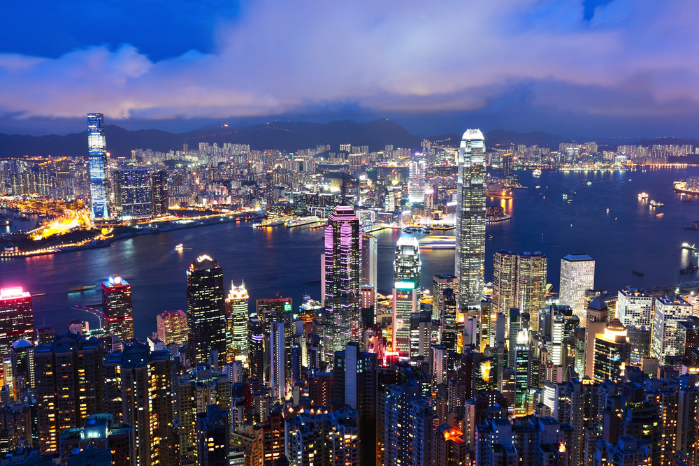
Hong Kong was transferred from British to Chinese sovereignty on July 1, 1997, under a framework negotiated between the British and Chinese governments. The residents of Hong Kong were not given a vote on the transfer or on the terms of the Basic Law that would govern them afterward.
The “one country, two systems” arrangement was designed to last until 2047 — a deadline that, depending on recent events, may have already been rendered academic.
The Unification of Germany

German reunification in 1990 was fast — faster than most people expected, and faster than some West German politicians privately wanted. The legal mechanism used was Article 23 of the West German Basic Law, which allowed East German states to accede to the Federal Republic, effectively absorbing East Germany into an existing state rather than creating a new one.
The international borders of the reunified Germany were confirmed by treaty, but the process was driven by political momentum and the collapse of the GDR, not by anything that could fairly be called a deliberate democratic design.
The Breakup of Yugoslavia
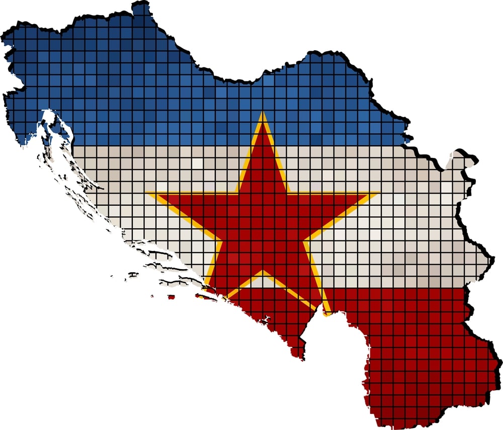
Yugoslavia dissolved through a series of declarations of independence — Slovenia and Croatia in 1991, Bosnia in 1992, North Macedonia in 1991, and so on — some of which were followed by wars that reconfirmed or altered the borders through violence. The internal administrative boundaries of the socialist federation became international borders almost by default, leaving ethnic minorities stranded on the wrong side of lines that had been drawn for bureaucratic, not national, reasons.
The people who suffered the most from those borders were the ones who had no say in making them permanent.
The Creation of Iraq’s Kurdish Region
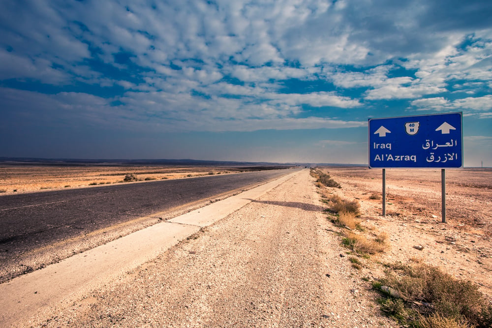
The borders of modern Iraq — drawn by Britain and France after World War I, adjusted by treaty in 1926 — placed the Kurdish population under Iraqi Arab governance without consultation. The 1926 Treaty of Ankara confirmed Mosul Province, with its Kurdish population, would become part of the British Mandate of Iraq rather than Turkey, partly for its oil.
Kurdish aspirations for an independent state were acknowledged in the 1920 Treaty of Sèvres and then quietly shelved three years later. The Kurds have been living inside someone else’s map ever since.
The Soviet Cession of Karelia
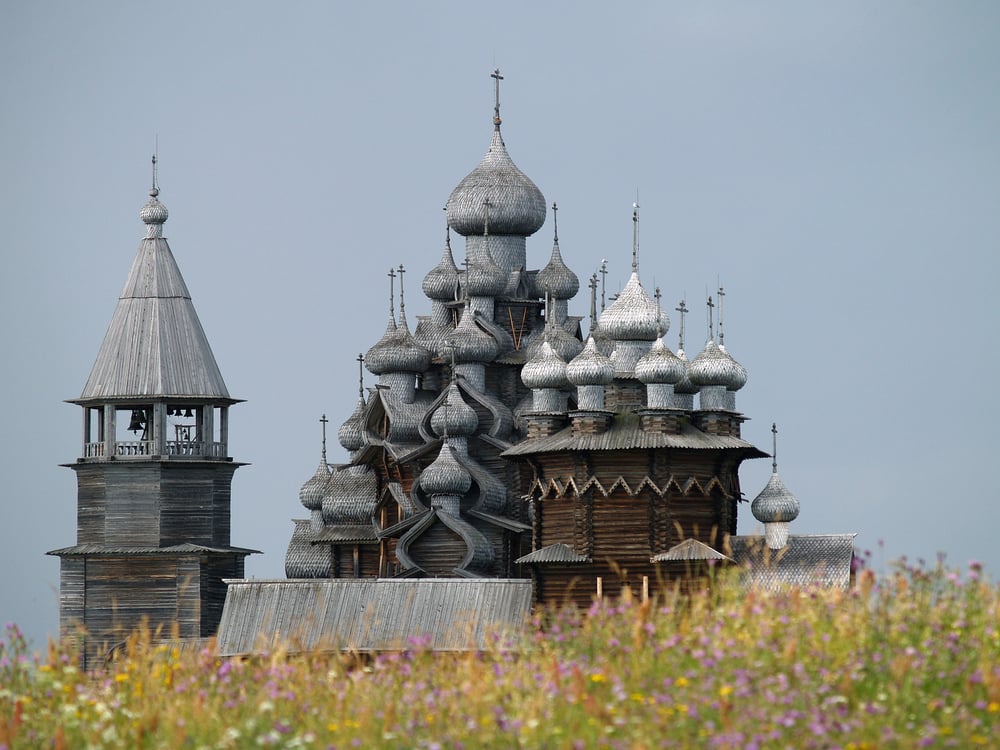
Finland ceded roughly 11% of its territory to the Soviet Union after losing the Winter War in 1940 — territory that included the Karelian Isthmus, Finland’s second-largest city Viipuri (now Vyborg), and significant industrial infrastructure. The Finnish population of Karelia — around 400,000 people — was evacuated before Soviet forces took possession.
The cession was the price of a war Finland didn’t start, and the territory was never returned. Finnish maps quietly omitted the lost region for decades, which is the cartographic equivalent of not talking about it at dinner.
The Annexation of Manchuria

Japan established the puppet state of Manchukuo in northeastern China in 1932 following the Manchurian Incident — a staged railway explosion that Japan used as a pretext for military occupation. The state had an emperor, Puyi, a flag, and borders.
It also had no genuine independence: Japanese officers controlled all meaningful decisions. The League of Nations refused to recognize it, Japan withdrew from the League in protest, and Manchukuo continued to exist on Japanese terms until Soviet forces swept through in the final days of World War II.
The British Partition of Bengal
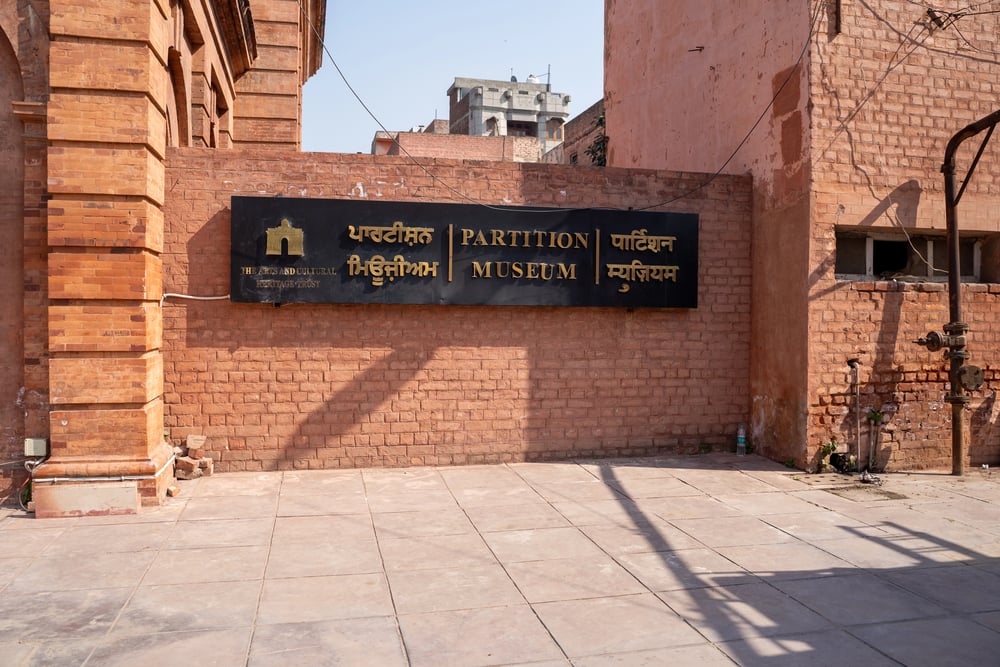
Britain partitioned Bengal in 1905, dividing the province largely along religious lines — a move that the Indian independence movement viewed as a deliberate attempt to fracture Hindu-Muslim unity by creating a Muslim-majority East Bengal. Mass protests followed, and the partition was reversed in 1911.
But the logic of religious partition hadn’t gone away: it returned, emphatically, in 1947, when Bengal was divided again as part of the partition of India, this time permanently.
The Oslo Accords and the West Bank
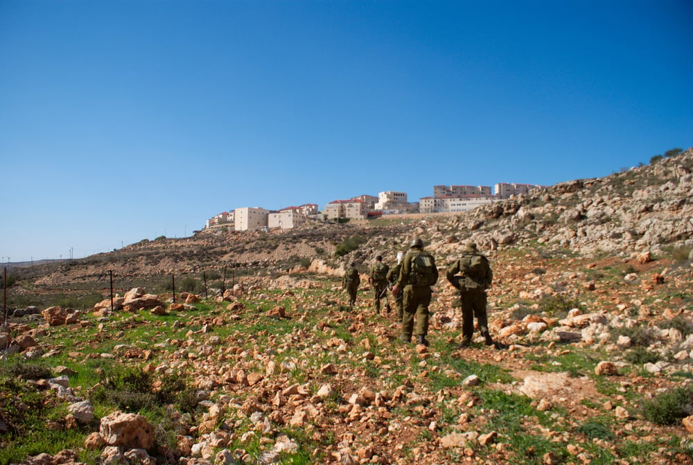
The Oslo Accords of 1993 and 1995 divided the West Bank into Areas A, B, and C — zones with different levels of Palestinian and Israeli administrative and security control. The Palestinian population of the West Bank did not vote on the terms of the division.
The arrangements were negotiated between the PLO and the Israeli government, with the United States facilitating. More than thirty years later, the boundaries of those zones remain contested, and the final-status borders of a Palestinian state have never been agreed upon.
When the Pen Is Mightier Than the Ballot
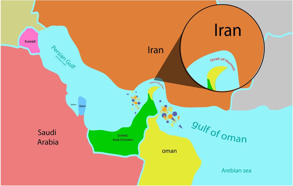
There is something quietly vertiginous about this list — not because the entries are surprising, exactly, but because of how consistent the pattern is. Borders get redrawn by the people with the most power at the moment the redrawing happens, and the populations affected are usually the last to be informed.
The grievances that follow can last a century. So the next time a map looks permanent, looks obvious, looks like it could never have been otherwise — remember that someone drew those lines, and that the odds are reasonable they did it without asking you, or anyone like you, first.
More from Go2Tutors!

- The Romanov Crown Jewels and Their Tragic Fate
- 13 Historical Mysteries That Science Still Can’t Solve
- Famous Hoaxes That Fooled the World for Years
- 15 Child Stars with Tragic Adult Lives
- 16 Famous Jewelry Pieces in History
Like Go2Tutors’s content? Follow us on MSN.