Longest Rivers Shaping Multiple Countries
Rivers don’t care about borders. They carve their paths through rock and soil long before any nation decided where one country ended and another began.
Some of the world’s longest rivers pass through five, ten, even eleven different countries — feeding farmland, powering cities, settling disputes, and occasionally starting them. Here are the rivers that have done the most to shape the world beyond their banks.
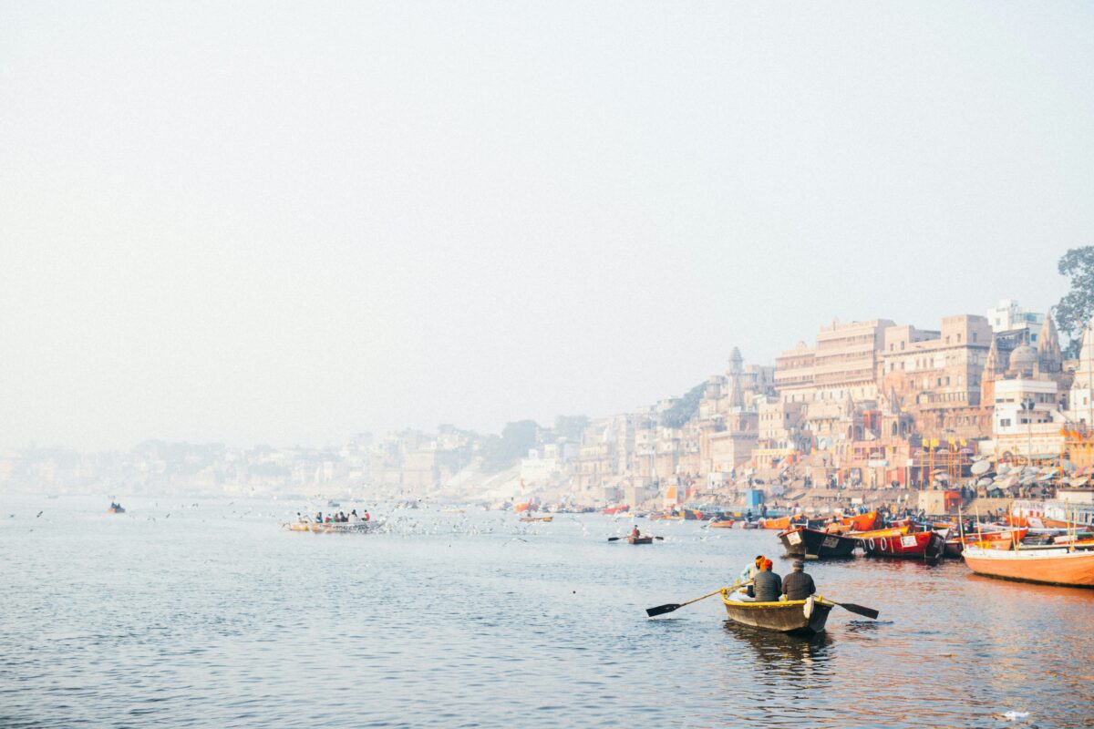
The Nile: A Lifeline Shared by Eleven Nations
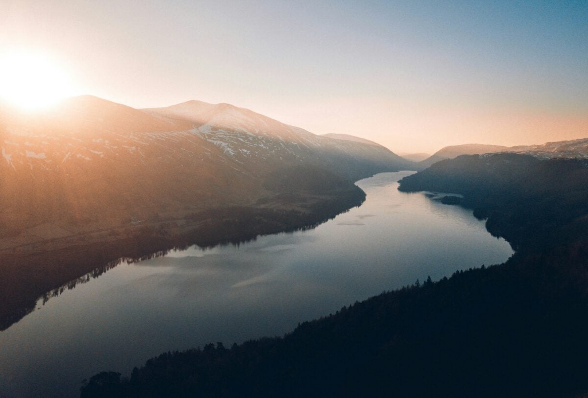
No river carries more historical weight than the Nile. It stretches over 6,650 kilometres from its headwaters in central Africa all the way to the Mediterranean Sea in Egypt, passing through eleven countries along the way, including Uganda, Sudan, Ethiopia, and South Sudan.
For thousands of years, Egypt built its entire civilization around the Nile’s annual floods. Today, that relationship is far more complicated.
Ethiopia’s Grand Renaissance Dam, one of the largest hydroelectric projects in Africa, has created serious tension with Egypt and Sudan over water rights. The countries have been in negotiations for decades, and no final agreement exists.
The Nile is a reminder that sharing a river is never as simple as it sounds.
The Amazon: The Lungs of Three Countries
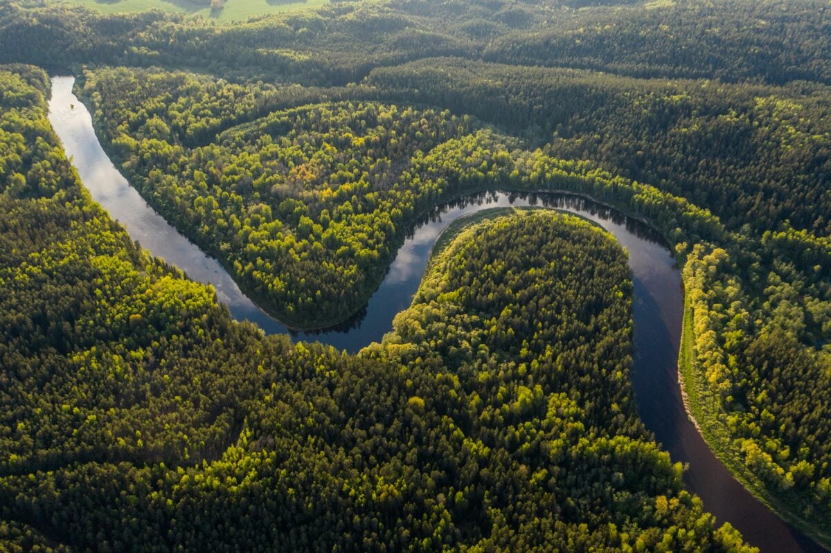
The Amazon moves more water than any other river on earth. It drains roughly 40 percent of South America, flowing through Peru and Colombia before emptying into the Atlantic Ocean along Brazil’s northern coast.
Its basin holds the largest tropical rainforest on the planet. The biodiversity here is staggering — scientists estimate that the Amazon basin contains one in ten of all species on earth.
That ecological reality shapes everything from local politics to international climate negotiations. Deforestation in Brazil affects rainfall patterns in Peru. What happens in one country’s stretch of the river eventually reaches the others.
The Congo: Africa’s Deepest River
The Congo River runs for about 4,700 kilometres and forms a natural border between the Democratic Republic of Congo and the Republic of Congo for much of its course. It also passes through Zambia, Angola, and the Central African Republic.
What makes the Congo unusual is its depth. At certain points it reaches over 220 metres — the deepest river in the world.
The Congo basin also happens to be the second-largest tropical rainforest on earth, acting as a major carbon sink. Despite its scale, the river remains largely underdeveloped in terms of infrastructure, which preserves the ecosystem but limits economic access for millions of people living along its banks.
The Niger: West Africa’s Main Artery
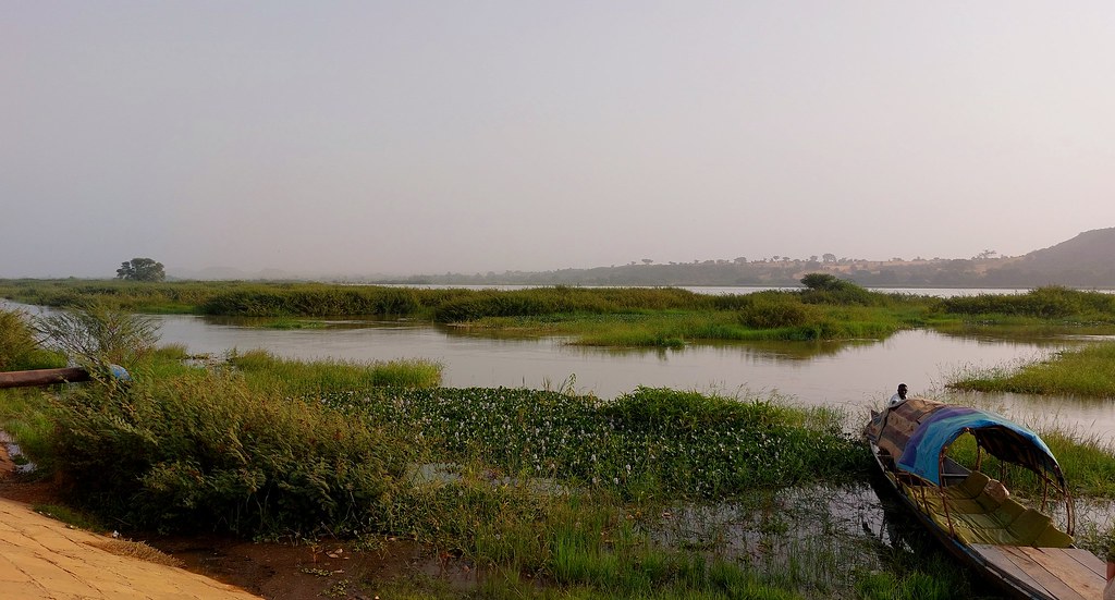
The Niger River takes an odd path. It begins in Guinea, climbs northeast toward the Sahara Desert — which seems counterintuitive — then bends sharply southeast before emptying into the Atlantic through Nigeria’s vast delta. In total it covers around 4,200 kilometres and passes through Mali, Niger, and Benin along the way.
The river supports rice farming in Mali’s inland delta, a wetland ecosystem that floods seasonally and sustains millions of people. Further downstream in Nigeria, the Niger Delta holds some of the largest oil reserves in Africa.
The river that feeds farmers in the north also sits beneath the petroleum industry in the south.
The Mekong: Southeast Asia’s Common Thread
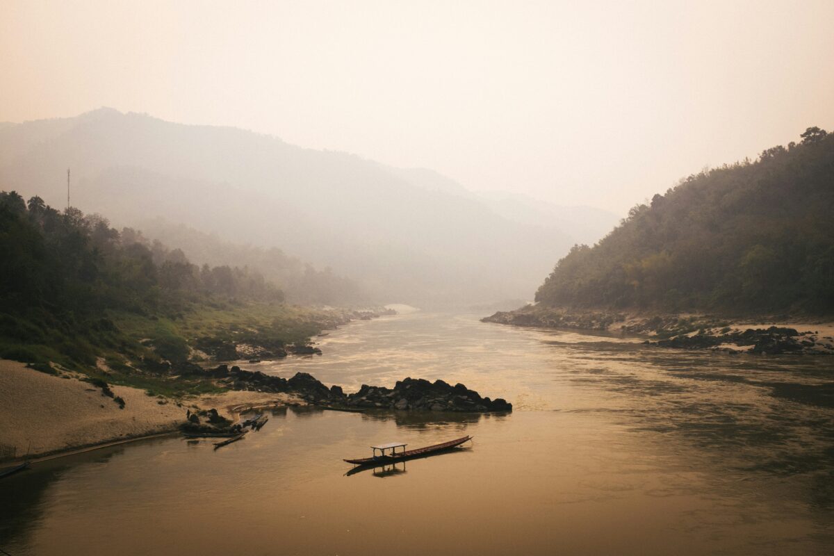
The Mekong starts in the Tibetan Plateau in China, then flows through Myanmar, Laos, Thailand, Cambodia, and Vietnam before reaching the South China Sea. That’s six countries connected by a single river over roughly 4,900 kilometres.
For the communities along its lower stretches, the Mekong is everything. It provides fish, irrigation, and transportation.
Cambodia’s Tonle Sap lake, which connects to the Mekong, is one of the most productive freshwater fisheries on earth and feeds a significant portion of the country’s population. China’s dam-building upstream has altered the river’s natural flow dramatically, reducing sediment and changing fish migration patterns in ways that downstream communities are still adjusting to.
The Danube: Europe’s Political River
The Danube is the second-longest river in Europe and crosses more countries than any other river on the continent — ten in total, including Germany, Austria, Slovakia, Hungary, Croatia, Serbia, Romania, Bulgaria, Moldova, and Ukraine. It has served as a trade route, a border, and a cultural connector for centuries.
Vienna, Budapest, and Belgrade all sit on its banks. The river has witnessed everything from Roman expansion to Cold War divisions.
Today it flows through the heart of the European Union, making it a symbol of both cooperation and the complications that come with sharing critical infrastructure across different governments and legal systems.
The Rhine: Europe’s Industrial Spine
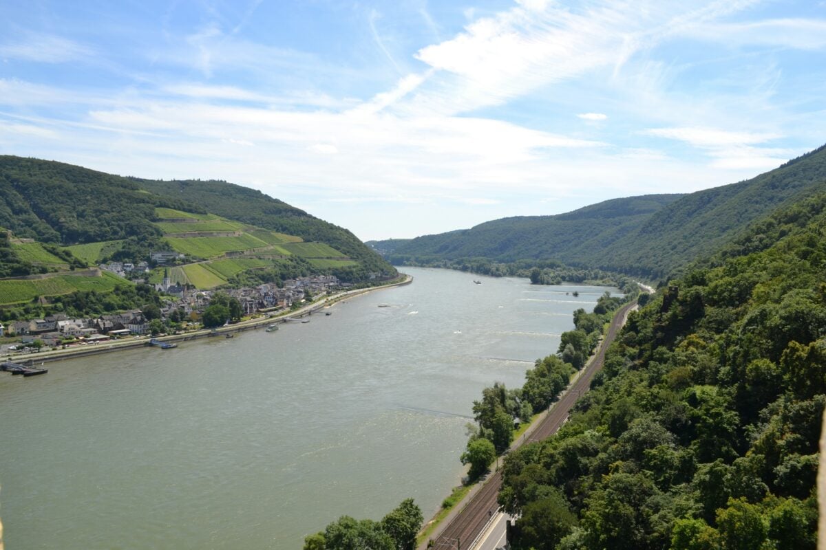
The Rhine runs about 1,230 kilometres from the Swiss Alps through Germany, briefly touching France and Luxembourg, before emptying into the North Sea through the Netherlands. It carries more cargo than almost any other river in the world.
For centuries it powered industry — coal, steel, and chemicals. That industrial legacy nearly destroyed it.
By the 1970s, the Rhine was one of the most polluted rivers in Europe. A multinational cleanup effort over the following decades brought salmon back to the river by the 1990s, something that hadn’t happened in decades.
The Rhine’s recovery is one of the more striking examples of what coordinated environmental policy across borders can actually achieve.
The Indus: The River That Named a Civilization
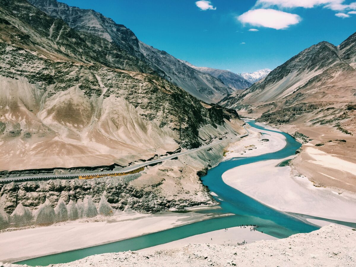
The Indus flows from Tibet through the disputed region of Kashmir, then down through Pakistan to the Arabian Sea — covering around 3,180 kilometres. It gave the Indian subcontinent its name and fed one of the ancient world’s most advanced civilizations, the Indus Valley Civilization, which flourished over 4,000 years ago.
Today the river is the backbone of Pakistan’s agricultural system, supplying water to one of the largest irrigation networks on earth. The Indus Waters Treaty between India and Pakistan, signed in 1960 and brokered by the World Bank, has governed water-sharing for over six decades — a rare case of two countries in frequent conflict maintaining a functional water agreement.
The Ganges and Brahmaputra: Two Rivers, One Shared Basin
The Ganges begins in the Himalayas of India and flows through Bangladesh before meeting the sea. The Brahmaputra starts in Tibet, cuts through India’s northeast, and also ends in Bangladesh.
The two rivers converge to form one of the world’s largest river deltas — the Sundarbans — shared between India and Bangladesh.
For hundreds of millions of people, these rivers are not just water sources. They carry deep spiritual significance.
But they also carry enormous volumes of meltwater from Himalayan glaciers. As those glaciers recede, the long-term water supply for downstream populations in India and Bangladesh becomes less predictable.
The Euphrates and Tigris: Where Civilization Started
Mesopotamia — “the land between the rivers” — sits between the Euphrates and Tigris in what is now Iraq. Both rivers originate in Turkey, flow through Syria, and converge in southern Iraq before reaching the Persian Gulf.
Turkey controls the headwaters of both rivers. Dams built upstream have significantly reduced water flow into Syria and Iraq, contributing to droughts and agricultural collapse in parts of both countries.
The Tigris and Euphrates once sustained some of the oldest cities on earth. Today they are at the center of a water security crisis that affects tens of millions of people.
The Rio Grande: A Border and a Battleground
The Rio Grande — or Río Bravo as Mexico calls it — forms the entire southern border between the United States and Mexico for about 2,000 kilometres of its 3,000-kilometre course. It separates Texas from the Mexican states of Chihuahua, Coahuila, Nuevo León, and Tamaulipas.
The river has been politically charged for generations. It’s also physically diminished. Decades of damming, irrigation, and drought have reduced its flow so severely that the river no longer reaches the Gulf of Mexico for much of the year.
A river that once defined a border now struggles to exist at all in its lower stretches.
The Ob-Irtysh: Siberia’s Hidden Giant
From China it starts, the Irtysh carving a path across borders, cutting through Kazakhstan before meeting the Ob in Russia. Together they roll northward, linking waters tracing more than five thousand four hundred kilometres toward the Arctic Sea.
Not as famous as the Nile or the Amazon, it winds through remote parts of western Siberia and Kazakhstan where few people live. Flowing quietly across vast stretches, it collects water from an enormous region many have never heard of.
People who live nearby rely on its fish and clean water every day. Oil drills and mines in Siberia send pollutants into the river bit by bit.
From source to end, the flow carries traces of industry along with life.
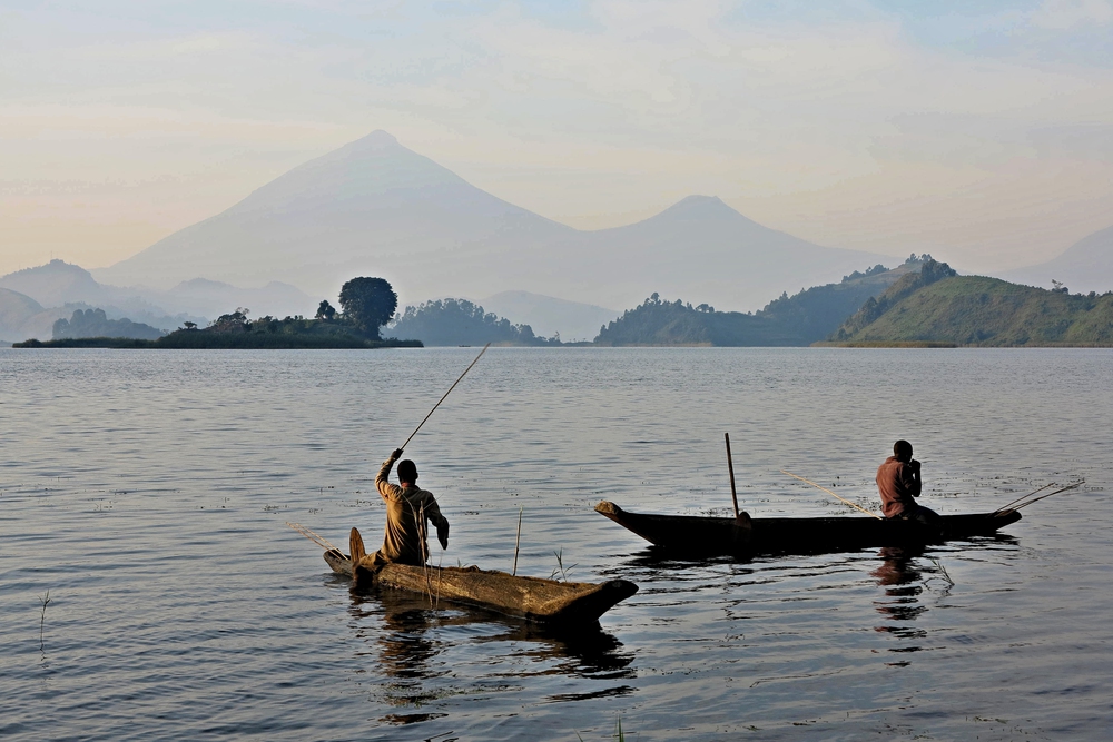
The Zambezi Separates Southern Africa
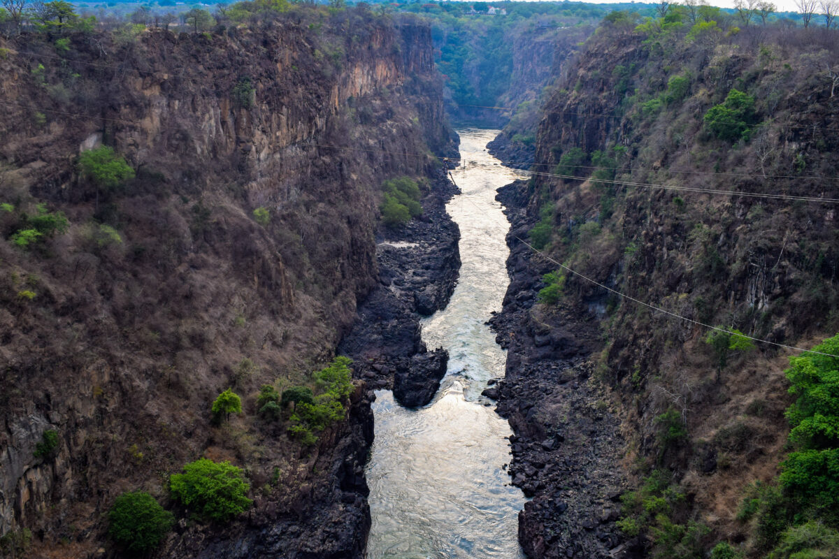
Starting in Zambia, the Zambezi stretches about 2,700 kilometres through several countries – Angola, then past Namibia, skirting Botswana, cutting between Zimbabwe, finally crossing Mozambique to meet the Indian Ocean. Near Zimbabwe’s edge, it plunges over Victoria Falls, a massive drop known worldwide.
Downstream, the river marks where Zambia meets Zimbabwe across long stretches. Completed in the late 1950s, Kariba Dam gave rise to Lake Kariba – a massive artificial body of water, ranked among the planet’s largest when measured by volume. Tens of thousands from the Tonga community were forced to leave their homes because of the dam, highlighting uneven consequences when major engineering works reshaped rivers used by many.
The Orange River Flows Without Notice
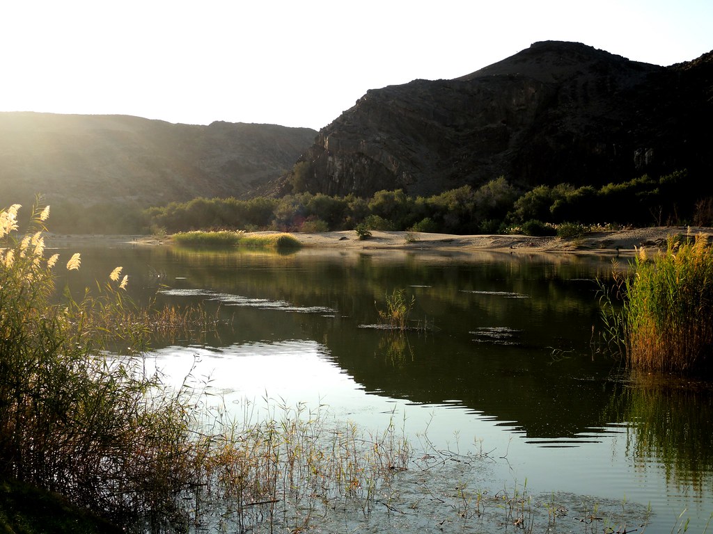
Winding across southern Africa, the Orange River stretches roughly 2,200 kilometres, starting in Lesotho and cutting through South Africa. It becomes a boundary between South Africa and Namibia before reaching the Atlantic Ocean. Nearly all of Lesotho sits inside the river’s drainage area, which ties the country closely to the water moving through that system.
Water flows from Lesotho’s mountains into drier parts of South Africa, reaching cities like Johannesburg. In exchange, turbines spin in mountain streams, sending electricity back to villages across the highlands. This deal links two nations through pipes, dams, and cables – built not just with concrete but years of negotiation. Few such partnerships balance needs so closely, giving each country something vital without leaving the other shortchanged.
Where the Water Flows
Water flows without regard for borders drawn on maps. It travels where geography guides it, driven by seasons rather than signatures on treaties. Yet such treaties still shape outcomes. Cooperation along the Rhine revealed progress when nations chose joint stewardship. Absence of that unity shaped different fates downstream in the Euphrates and Tigris. What bends the course isn’t just policy – it’s whether trust exists between neighbors.
Flowing through lands where tongues differ, rules clash, and trust runs thin, each river here ties communities together. Between shores of dispute, water moves without permission or pause. What binds them isn’t law but need – a quiet force beneath daily life. Across divides, it gives no favor, takes no side. This common reliance quietly molds borders just as much as politics ever could.
More from Go2Tutors!

- The Romanov Crown Jewels and Their Tragic Fate
- 13 Historical Mysteries That Science Still Can’t Solve
- Famous Hoaxes That Fooled the World for Years
- 15 Child Stars with Tragic Adult Lives
- 16 Famous Jewelry Pieces in History
Like Go2Tutors’s content? Follow us on MSN.