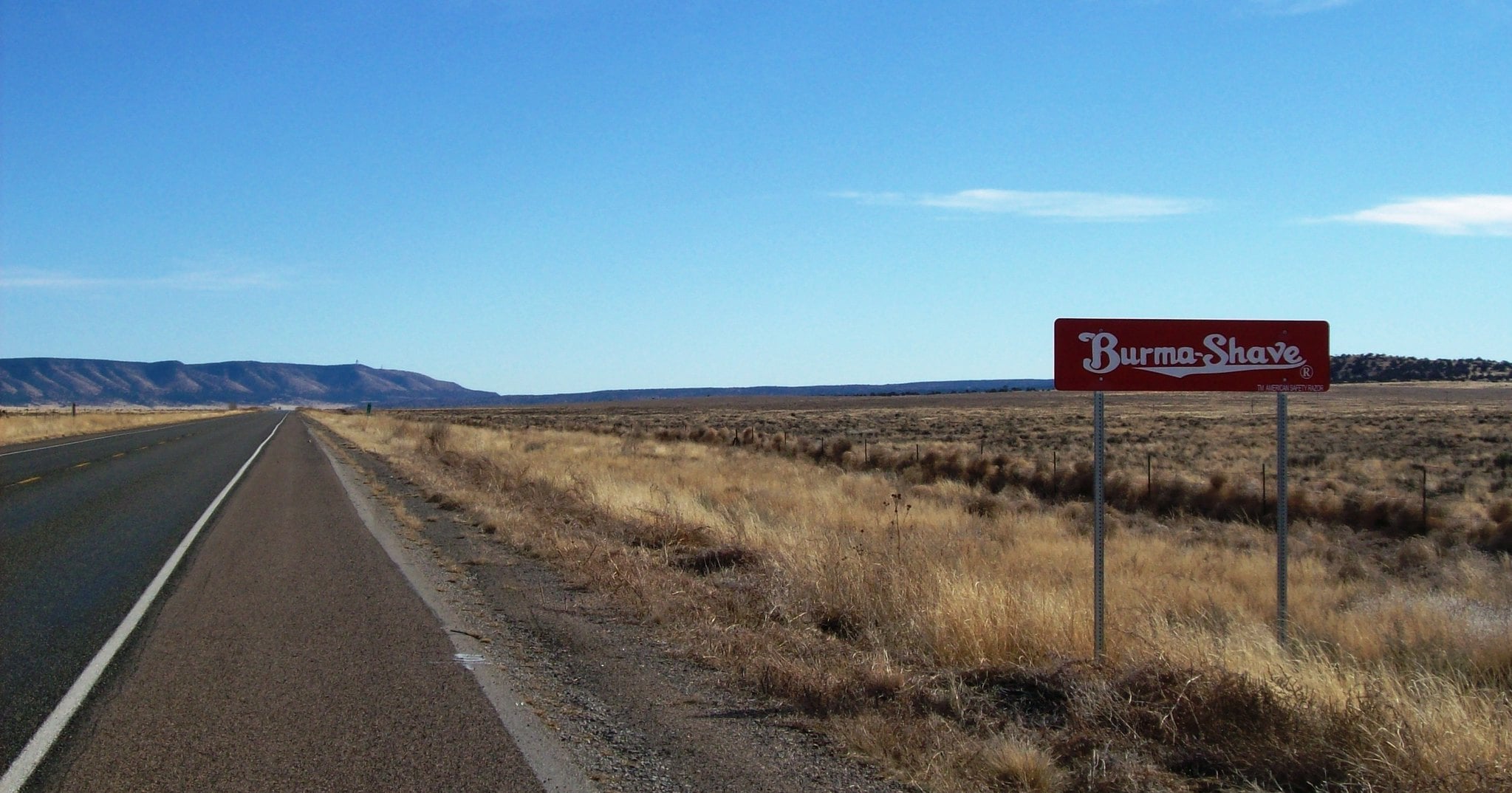
The Burma-Shave Sign Read-Along
The Burma-Shave Sign Read-Along Burma-Shave roadside signs were a genuine American institution — sequential rhyming signs spaced about 100 feet apart along two-lane highways, running from 1927 until 1963. Reading them aloud as a family was barely optional; the format demanded participation.
When traffic moved to high-speed interstates, the signs became dangerous to read and economically pointless, and the company pulled them.
Stopping at Every State Line
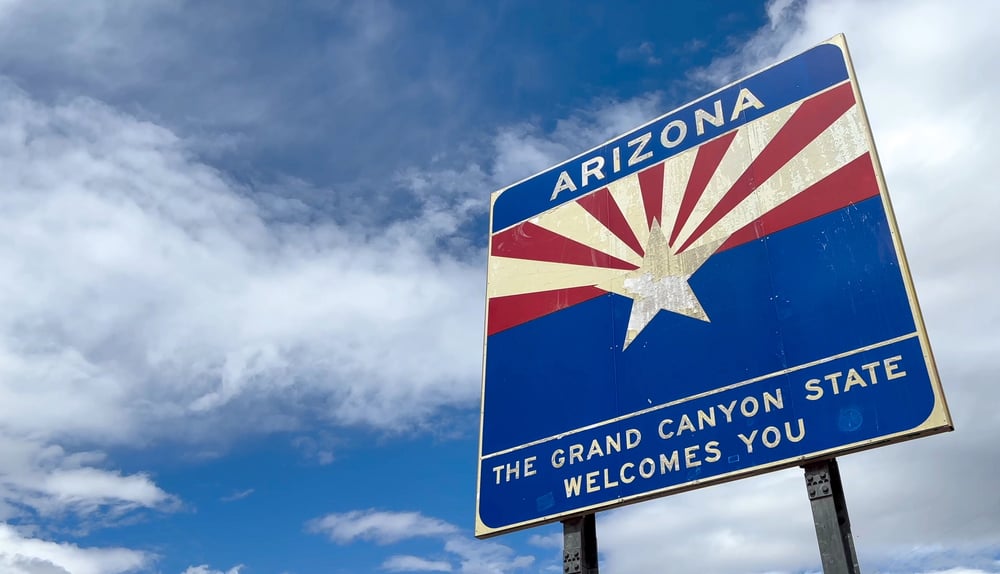
Stopping at Every State Line State line markers used to mean something on two-lane roads — you slowed down, you noticed, sometimes you stopped for a photograph. The signs were often elaborate, the shoulders were accessible, and there was no eighty-mile-per-hour traffic bearing down behind you.
On the interstate, state lines are just something that passes while you’re looking at your phone.
The Motor Court Check-In
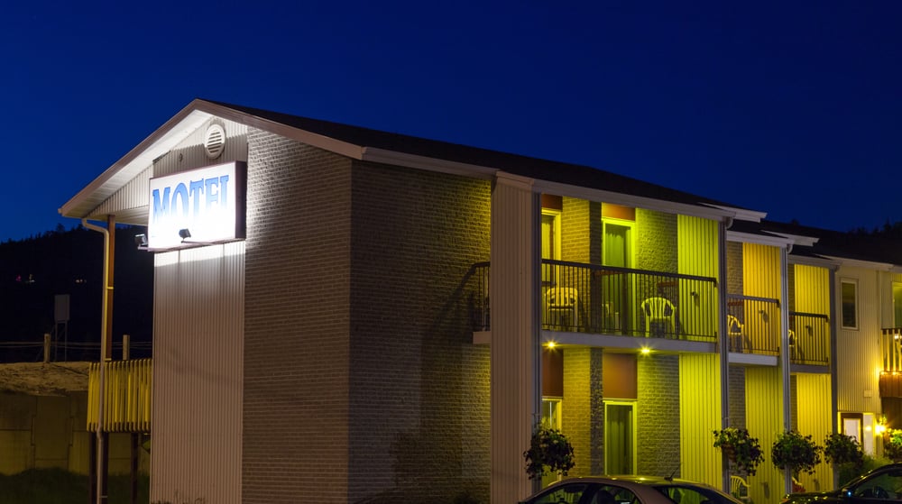
The Motor Court Check-In Motor courts — those U-shaped clusters of individual cabins arranged around a courtyard — were the dominant roadside lodging of the 1930s through 1950s. Each cabin felt like a small, private thing: a door that opened directly to the parking space, a proprietor who actually lived on the property, a different aesthetic at every stop.
They weren’t replaced by anything better, just by anything faster — the roadside motel chains that followed the interstates weren’t designed for lingering.
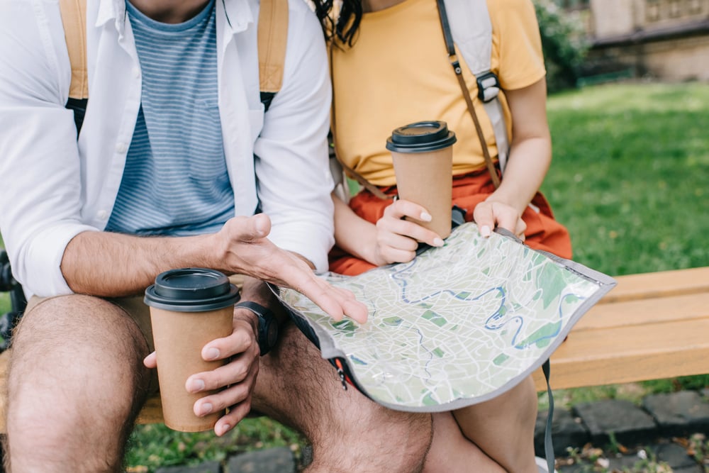
Consulting the AAA TripTik
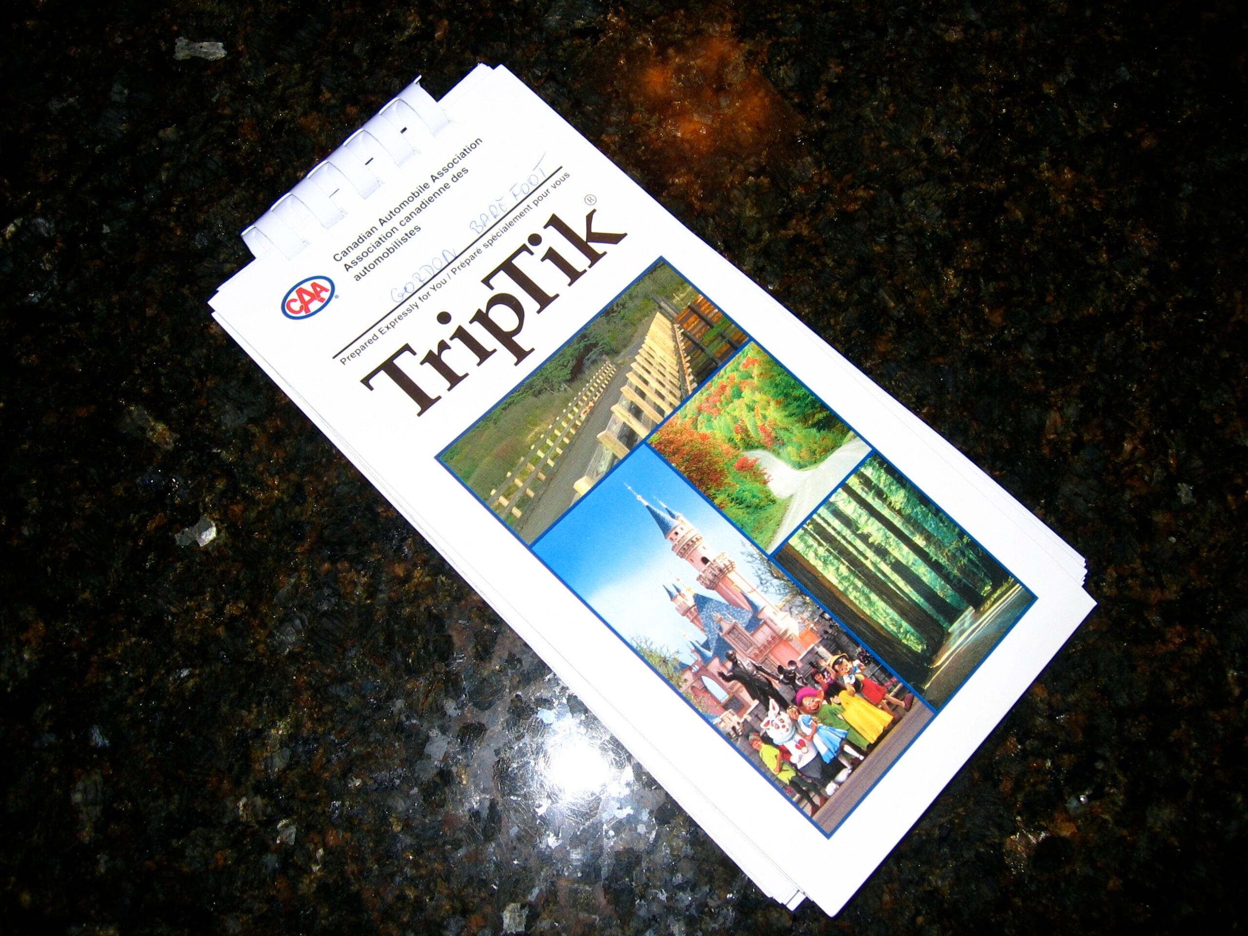
Consulting the AAA TripTik The AAA TripTik was a spiral-bound booklet of customized strip maps, assembled by a club employee who literally annotated the route by hand before mailing it to you. Planning a trip meant making an appointment, sitting across a desk from someone who knew the roads, and leaving with a document made specifically for your journey.
That relationship — between traveler and navigator, mediated by paper — dissolved long before GPS made it irrelevant.
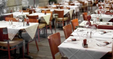
Eating at the Roadside Diner, Not the Chain
Eating at the Roadside Diner, Not the Chain Before interstates concentrated traffic onto controlled-access highways, the roadside diner survived on whatever came through town. You stopped because it was there, because it was noon, because the pie looked good through the window.
The interstate exit food cluster — same six brands, same parking lot logic, same industrial fryer — didn’t replace the diner so much as starve it.
The Running Water Check
The Running Water Check Pulling into a motor court or tourist cabin meant checking whether the plumbing actually worked before you unloaded the car — this was not paranoia, it was procedure. Hot water was not guaranteed.
The proprietor expected to be asked. A traveler who didn’t check was a traveler who’d be cold-showering at six in the morning, which is a lesson you only needed once.
Trading Route Tips With Other Travelers

Trading Route Tips With Other Travelers Rest stops and roadside cafes on the old federal highway network functioned as informal information exchanges — a stranger at the counter might warn you about road construction in the next county, or tell you the bridge over the creek was out, or recommend the fried chicken forty miles ahead. Travelers were navigational assets to each other in ways that felt genuinely communal, not just polite.
The interstate rest stop, designed for speed and privacy, mostly ended that.
Watching for Roadside Attractions on the Map
Watching for Roadside Attractions on the Map Old highway maps were studded with small illustrated icons marking curiosities: the world’s largest round of twine, a reptile farm, a cave that charged twenty-five cents to enter. These weren’t tourist traps so much as evidence that American roadside culture had a sense of humor about itself.
The interstate bypassed most of them entirely — and the ones that survived learned to advertise on billboards, which is a different and sadder thing.
Mailing Postcards From Every Town
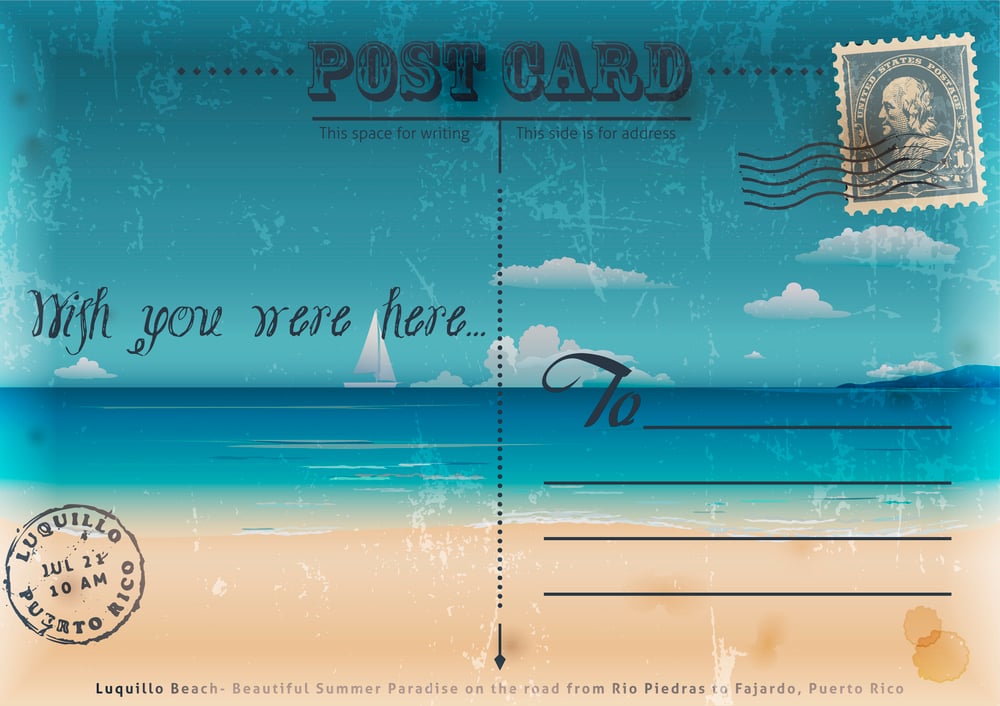
Mailing Postcards From Every Town There’s a reason people kept postcard collections in shoeboxes for decades — they were dispatches from the actual road, written on a surface the size of your palm with a two-cent stamp and a genuine sense of place. Every small town had its own postcard rack, usually near the register at the local drugstore.
The postcard as a travel habit didn’t die because people stopped caring; it died because the towns the interstates bypassed lost their drug stores.
The Roadside Gas Station as a Social Node
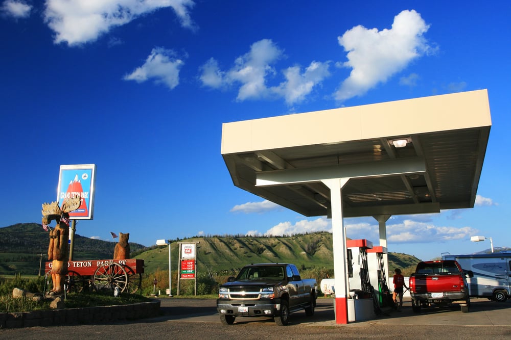
The Roadside Gas Station as a Social Node Pre-interstate gas stations along federal highways were often the civic center of small towns — the place where roads converged, where travelers stopped and locals gathered, where a transaction for fuel became a ten-minute conversation. The full-service attendant who checked your oil and washed your windshield without being asked wasn’t a perk; that was just what gas stations did.
The interstate interchange station optimized away everything except the transaction.
Pulling Over for Thunderstorms

Pulling Over for Thunderstorms Two-lane highway driving at highway speeds during a serious thunderstorm was genuinely hazardous in a way that encouraged pulling off and waiting it out under a roadside canopy or at a filling station overhang. The pace of the trip absorbed delays more naturally — an hour lost to weather on a two-week drive along Route 40 felt different from an hour lost on an interstate where every mile is already calculated.
Waiting out a storm was part of the rhythm, not a disruption of it.
The Overnight Picnic Stop

The Overnight Picnic Stop Roadside picnic areas along two-lane federal highways were, at peak, elaborate affairs — stone tables built by the CCC in the 1930s, fire rings, outhouses, sometimes a water pump. Families didn’t just stop for lunch; they stopped for the evening, slept in the car or a tent, and moved on in the morning.
The interstate version of this tradition became the rest area: fluorescent lights, a vending machine, and a strong implicit suggestion that you not linger.
Reading the Burma-Shave Signs Backward
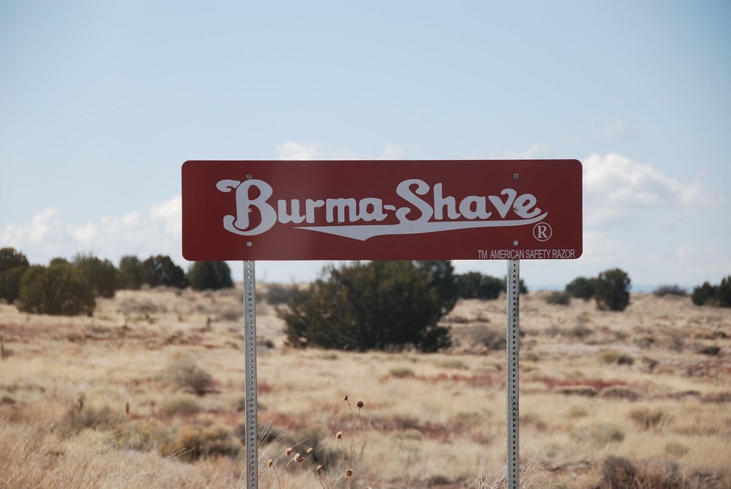
Reading the Burma-Shave Signs Backward The forward read was the intended experience — but the backward read, accomplished by craning your neck out the rear window as the signs receded, became its own low-stakes game on long flat stretches. Children were invested in this in a way that was disproportionate to the stakes, which is true of most good road trip games.
The signs were gone by 1963 and the game went with them.
Negotiating Room Rates in Person
Negotiating Room Rates in Person Independent motor courts and tourist cabins operated on a flexible economy — the posted rate was a starting point, occupancy was visible, and a direct conversation with the owner about price was normal and expected. A traveler arriving late with children could often negotiate.
That whole dynamic, which required both parties to treat lodging as a human exchange rather than a transaction, became essentially extinct once branded chain motels standardized pricing.
The Running Tally on the Paper Map
The Running Tally on the Paper Map Marking a paper road map as you traveled — ink circles around towns you’d passed through, penciled lines tracing the route, notes in the margins — was a form of documenting the trip in real time that felt nothing like a digital record. The map became an artifact of the journey, not just a tool for it.
Families kept those marked maps, sometimes for decades, because they held the trip in a way photographs couldn’t.
Stopping at Roadside Fruit Stands

Stopping at Roadside Fruit Stands In agricultural regions, two-lane highway travel made roadside produce stands an expected feature of the journey — a wooden stand selling peaches by the basket in Georgia, cherries in Michigan, pecans in the Deep South. These weren’t detours; they were on the road you were already taking.
The interstate placed those roads behind you at sixty miles away, and the stands that survived moved their signs to the exit ramps, which is a diminished version of the original thing.
The Sticker Map Souvenir

The Sticker Map Souvenir Roadside attraction gift shops and tourist information centers sold state sticker maps designed to be displayed in the rear window of the family wagon — each visited state colored in. This was not subtle.
It was a broadcast to every car behind you that you had been places. The tradition required the kind of slow, stop-heavy travel that interstates were explicitly designed to eliminate.
Counting Burma-Shave Sequences
Counting Burma-Shave Sequences Competitive counting of Burma-Shave sign sequences — how many complete verses you could spot in a day — was a documented children’s activity of the late 1930s and 1940s, mentioned in travel diaries and family letters of the period. It required attention to the roadside in a sustained way that is hard to imagine from the back of a minivan on I-40.
The game was simple, free, and completely dependent on infrastructure that no longer exists.
Taking the Scenic Bypass Through Town
Taking the Scenic Bypass Through Town Old federal highways ran through the center of every town they connected — not around them, through them. Main Street was the highway.
The gas station, the diner, the hardware store with the Coca-Cola sign — all of it was the road. The bypass was the practical solution to traffic congestion, and it worked perfectly, and it hollowed out hundreds of American main streets in the process.
The Night Drive on Unlit Highway

The Night Drive on Unlit Highway Driving a two-lane federal highway at night had a particular quality — darkness that was actual darkness, the headlights cutting maybe two hundred feet ahead, the stars visible in a way that they simply aren’t from the over-lit corridor of an interstate. Travelers planned around night driving differently, more cautiously, sometimes pulling off rather than pushing through.
The darkness wasn’t a problem to solve; it was part of the experience of moving through the country at night.
Waving at Oncoming Drivers

Waving at Oncoming Drivers On narrow two-lane roads where oncoming drivers passed within ten feet of each other, the two-finger lift off the steering wheel was a reflexive acknowledgment — not a greeting exactly, more like the mutual recognition that you were both out here, doing this. The interstate made such gestures invisible and irrelevant.
Two thousand pounds of metal traveling in opposite directions at a combined speed of 140 miles per hour does not invite courtesy waves.
Writing Trip Journals by the Roadside

Writing Trip Journals by the Roadside Travel journals — actual handwritten notebooks, kept nightly in motel rooms or at picnic tables — were standard equipment on long family road trips through the mid-twentieth century. Children were often assigned to keep them.
The slow travel of two-lane highways created time for reflection in a way that interstate driving, continuous and pressured, doesn’t naturally produce. Speed ate the journal.
Asking Locals for Directions

Asking Locals for Directions Before the interstate standardized navigation into exit numbers and mile markers, asking directions from a gas station attendant or a diner counter was both necessary and genuinely informative — locals knew about the shortcut through the valley, the road that flooded in spring, the better way that wasn’t on the map. Directions arrived as stories.
GPS didn’t kill this tradition; the interstate’s exit-number logic made local knowledge structurally irrelevant long before GPS arrived.
The Radiator Stop
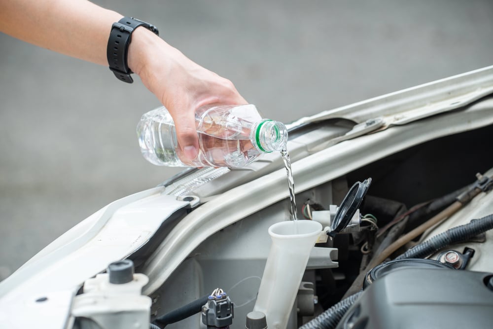
The Radiator Stop Pre-1960s cars overheated. Long summer drives on two-lane highways required planned radiator stops — a jug of water in the trunk, a watch on the temperature gauge, a roadside pull-off to let the engine breathe.
This was not a crisis; it was maintenance, expected and managed. It created a different relationship with the machine: you watched it, you understood it, you pulled over when it needed you to.
The Roadside Cabin Register
The Roadside Cabin Register Independent tourist cabins kept handwritten guest registers — a ledger where you signed your name, your hometown, and sometimes a brief note. Reading the previous entries was a peculiar pleasure, a scroll through the names of strangers who had slept in this same room traveling in the same direction.
Some registers went back fifteen years. None of the branded motels that replaced these places kept anything like them.
Following the Highway Numbers on Telephone Poles
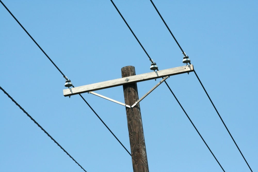
Following the Highway Numbers on Telephone Poles Before route markers became standardized interstate signage, federal highway numbers were often nailed to telephone poles — a detail-level navigation that required attention to the actual landscape you were moving through. Missing a marker meant a genuine wrong turn.
The engagement with the physical road that this demanded is almost quaint from the perspective of turn-by-turn audio navigation, but it made drivers intimately familiar with the roads they were on.
The Sunday Drive as a Destination
The Sunday Drive as a Destination The Sunday drive — taking the car out with no fixed destination, just to move through the countryside — was a genuine American leisure activity from the 1920s through the 1960s, supported by the slow, varied nature of two-lane highway travel. The interstate doesn’t accommodate purposeless driving in the same way; its logic is throughput, not wandering.
A Sunday drive on I-95 is just a drive on I-95.
Stopping at Tourist Information Cabins
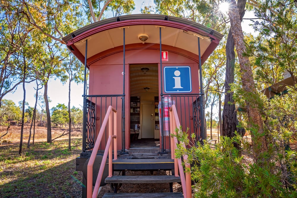
Stopping at Tourist Information Cabins State-run tourist information cabins at state lines and major junctions were a physical, staffed service — a small wooden building where a real person handed you printed materials, circled things on your map, and answered questions. They were built specifically for the two-lane highway traveler who arrived uncertain and could afford to stop.
The interstate rest area replaced them with a rack of brochures and a payphone, which was already an improvement over nothing and a significant decline from something.
The Highway Restaurant Mile Marker
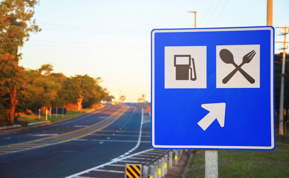
The Highway Restaurant Mile Marker Before the green interstate sign that lists every chain restaurant at the next exit, two-lane highway restaurants advertised by placing signs at intervals along the road — “15 miles,” then “8 miles,” then “3 miles,” then a hand-painted arrow. The countdown was a feature, not just signage; it built anticipation in a way the interstate sign, encountered one mile before the exit, never quite manages.
Sleeping in the Car at a Roadside Camp

Sleeping in the Car at a Roadside Camp Parking in a designated roadside camp and sleeping in the car — not a campsite, not a motel, literally the shoulder-adjacent pullout that existed specifically for this — was a recognized practice through the 1940s. These weren’t glamorous.
They were practical acknowledgments that travel happened at the pace of the traveler, not the road. The controlled-access interstate, by design, has no shoulder-adjacent pullouts and no intention of allowing them.
The Odometer Game
The Odometer Game Calling the exact odometer reading at a milepost, or predicting when the odometer would hit a round number, was a car-game staple on long highway drives that required actually watching the odometer — a mechanical, analog dial that climbed visibly. Digital odometers and trip computers made the game technically possible but experientially hollow.
The mechanical version had a physicality to it; you could feel the numbers turning.
Timing the Trip by Landmarks, Not Miles
Timing the Trip by Landmarks, Not Miles “Turn left at the big red barn” was not folklore — it was navigation, and it persisted on two-lane federal highways well into the 1950s. Distance was measured in landmarks rather than miles: the grain elevator, the church with the green steeple, the feed store at the crossroads.
The interstate’s mile-marker system made landmark navigation structurally unnecessary, but it also flattened the road into arithmetic and stripped the directions of everything local.
Reading Roadside Menus Painted on Barn Walls
Reading Roadside Menus Painted on Barn Walls Painted barn advertisements — not just for Mail Pouch and Chew, but for local restaurants, motor courts, and produce stands — were a legitimate roadside reading tradition on two-lane federal highways. Some barns carried multiple ads layered over decades, legible to a traveler paying attention.
The interstate put most of these barns out of visibility, and time and weather handled the rest.
The Road Behind You
The Road Behind You What’s strange about all of this isn’t nostalgia — it’s proportion. The interstate system did exactly what it was designed to do: move more people faster across more miles with fewer delays.
It succeeded completely. And in succeeding, it rendered irrelevant an entire grammar of travel — the slower pace, the accidental stop, the conversation with a stranger about road conditions, the particular pleasure of a road that went through something rather than past it.
You can still find two-lane highway travel in America; Route 66 has its devotees and its stretches of original pavement, and the old federal routes still exist in pieces. But the tradition that built itself around that kind of travel — unhurried, curious, indifferent to efficiency — belongs to a country that the interstates replaced, not destroyed.
The distinction matters, even if it doesn’t change what’s gone.
More from Go2Tutors!

- The Romanov Crown Jewels and Their Tragic Fate
- 13 Historical Mysteries That Science Still Can’t Solve
- Famous Hoaxes That Fooled the World for Years
- 15 Child Stars with Tragic Adult Lives
- 16 Famous Jewelry Pieces in History
Like Go2Tutors’s content? Follow us on MSN.