14 Maps That Turned Out to Be Wrong
Cartography has always been an imperfect science, shaped as much by incomplete exploration and political motivation as by available data. The maps below were treated as authoritative for years, sometimes centuries, before subsequent discovery proved them wrong.
The Vinland Map
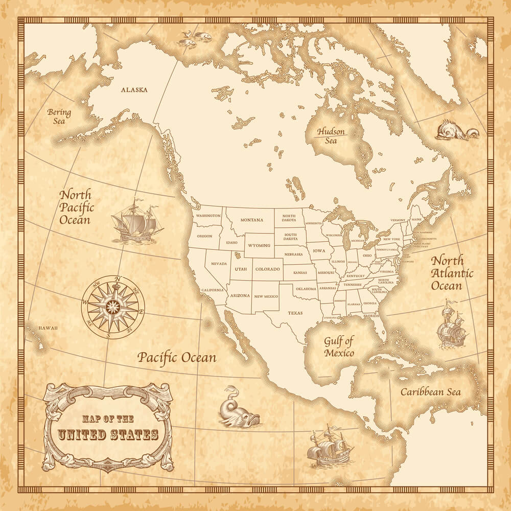
Purchased by Yale University and unveiled in 1965 as apparent evidence of pre-Columbian Norse exploration of North America, the Vinland Map was widely debated for decades until a 2021 chemical analysis by Yale researchers confirmed the ink contained titanium dioxide, a compound not produced commercially until the 1920s. The map is now considered a 20th-century forgery, despite decades of serious scholarly debate over its authenticity.
California as an Island
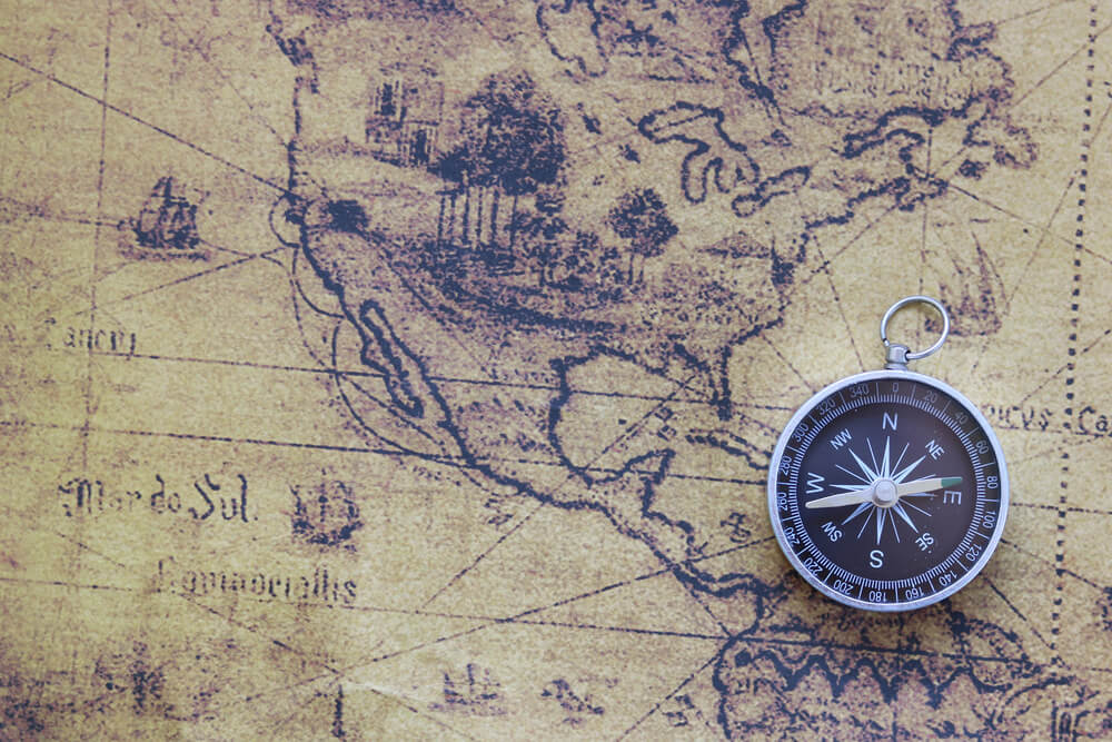
European maps produced from the early 17th century through much of the 18th century frequently depicted California as a separate island rather than part of the North American mainland, an error that persisted based on incomplete Spanish exploration accounts from the 1602 Sebastian Vizcaino expedition. The misconception was so persistent that King Ferdinand VI of Spain issued a royal decree in 1747 formally declaring California was, in fact, attached to the mainland.
The Mercator Projection’s Size Distortion
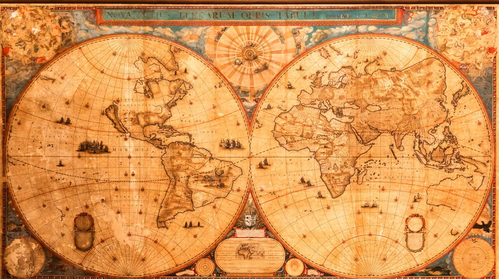
Gerardus Mercator’s 1569 map projection, still widely used in classrooms and online mapping today, dramatically distorts the relative size of landmasses near the poles, making countries like Greenland appear comparable in size to Africa despite Africa being roughly 14 times larger. Mercator designed the projection specifically for accurate nautical navigation, not for representing relative land area, a distinction frequently lost in the projection’s continued everyday use.
Terra Australis
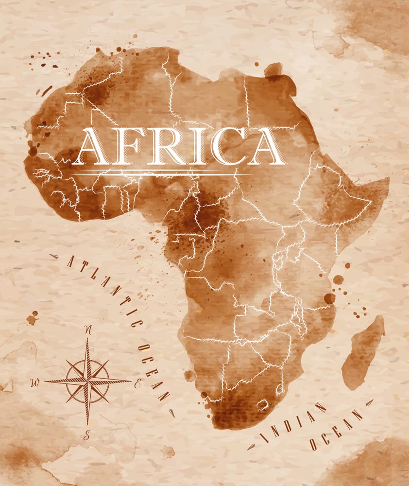
European cartographers from antiquity through the 18th century included a hypothetical massive southern continent, Terra Australis, on world maps based on theoretical assumptions about landmass needing to balance the globe rather than any actual exploration. British explorer James Cook’s extensive Pacific voyages in the 1770s conclusively disproved the existence of this imagined continent, though its name lived on in the eventual naming of the real Australia.
The Kingdom of Prester John
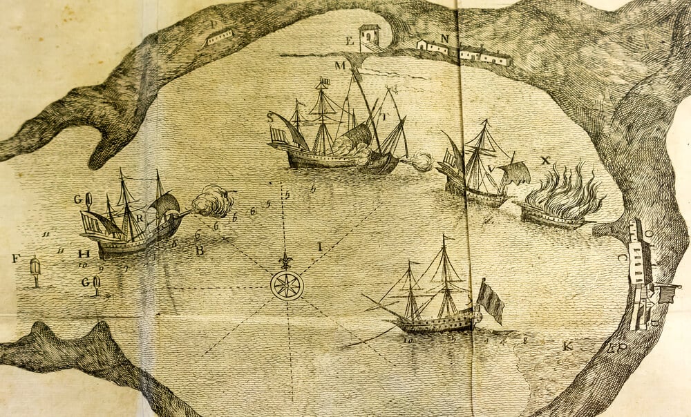
Medieval and Renaissance European maps, from roughly the 12th through 17th centuries, repeatedly depicted the mythical Christian kingdom of Prester John, initially placed somewhere in Asia and later relocated to Ethiopia as geographic knowledge expanded, despite no verified kingdom ever being located. The persistent belief influenced genuine Portuguese exploration efforts along the African coast during the 15th century, partly motivated by hopes of locating this imagined ally.
The Mountains of Kong
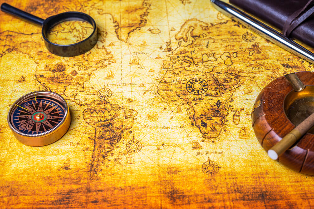
A mountain range stretching across West Africa, the Mountains of Kong was reproduced on maps for nearly a century, despite no such continuous range actually existing. The error’s origins are disputed among cartographic historians. Mungo Park’s expeditions (1795–1797, 1805–1806) were not the source, as the range appeared on maps before his travels. Jean-Baptiste Bourguignon d’Anville died in 1782, making a 1798 map attributed to him impossible.
The Northwest Passage’s Early Depictions
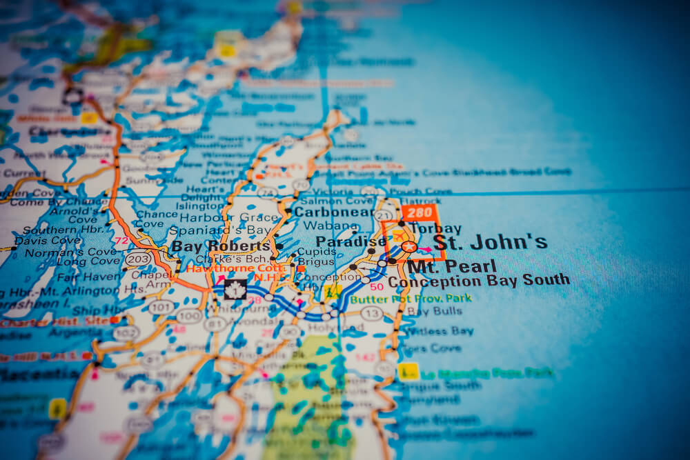
Early modern European maps, dating from the 16th century onward, frequently depicted an easily navigable sea route through the Arctic connecting the Atlantic and Pacific oceans, encouraging numerous costly and often fatal expeditions searching for a passage that proved far more difficult to navigate than cartographers assumed. A genuinely navigable route was not successfully completed by ship until Roald Amundsen’s expedition finally succeeded between 1903 and 1906.
Bermeja Island, Mexico
A small island depicted off the Yucatan Peninsula on Mexican and international maps as early as a 1539 Spanish map, Bermeja Island’s existence was never subsequently confirmed by modern surveys, including a 2009 Mexican government search that found no trace of any island in the mapped location. The island’s disputed existence carried real modern consequences, since its presence or absence affected Mexico’s maritime territorial boundary claims in the Gulf of Mexico.
Sandy Island, New Caledonia
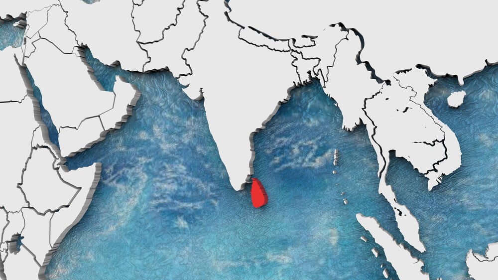
Sandy Island, located between Australia and New Caledonia, appeared on maps including some digital databases and online mapping services as late as 2012, despite an Australian research vessel that year sailing directly through the charted location and finding open ocean with no island present. Investigators later traced the error partly to a mislabeled whaling ship record from the 19th century that had been repeatedly copied into subsequent chart data.
The Piri Reis Map’s Southern Coastline
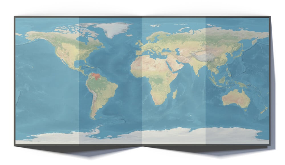
The 1513 Piri Reis map, created by Ottoman admiral Piri Reis, has generated significant speculative controversy over a southern coastline some interpreted as an unusually accurate depiction of Antarctica’s ice-free coast, though mainstream cartographic historians attribute the feature to a misinterpreted or distorted rendering of South America’s eastern coastline rather than genuine advance knowledge of Antarctica. The map remains a frequent subject of fringe historical claims despite this more conventional scholarly explanation.
The Mapping of the Nile’s Source
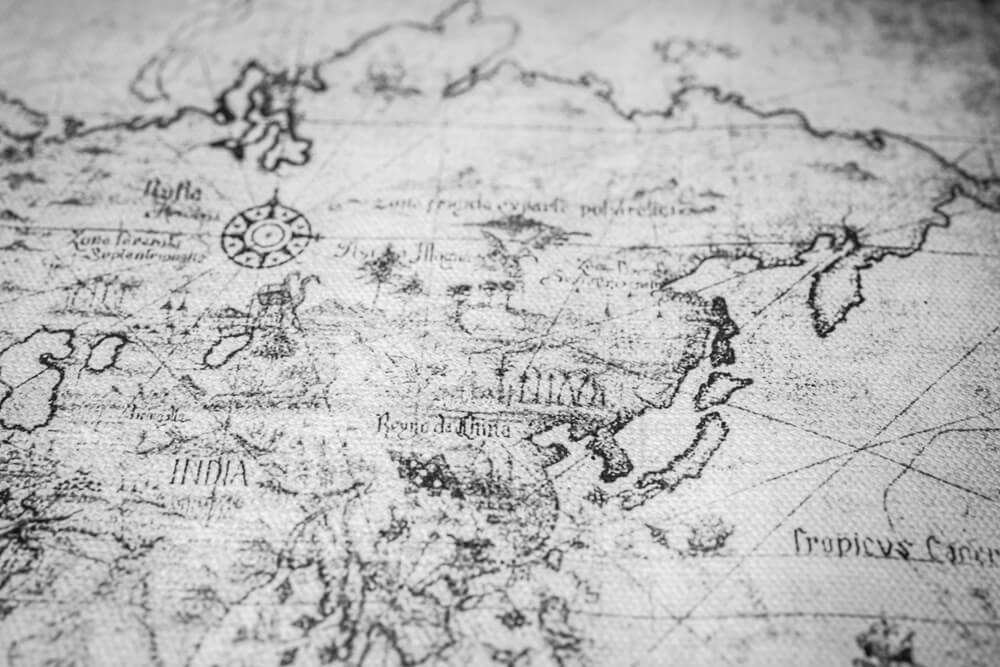
European maps produced well into the 19th century frequently depicted incorrect or entirely speculative locations for the source of the Nile River, a geographic question that drove numerous expeditions until British explorer John Hanning Speke identified Lake Victoria as a primary source in 1858, a claim that remained disputed among his contemporaries for years afterward. The Nile’s full hydrological source system, involving multiple contributing rivers and lakes, was not comprehensively mapped until well into the 20th century.
The Symmes Hollow Earth Theory Maps
American lecturer John Cleves Symmes Jr. promoted a theory beginning in 1818 that the Earth contained habitable openings at the poles leading to its hollow interior, and several maps and diagrams were produced in the 19th century depicting these theoretical polar entrances as though they were established geographic features. The theory was never grounded in genuine scientific evidence and was gradually abandoned as polar exploration throughout the 19th and 20th centuries confirmed no such openings existed.
Frisland
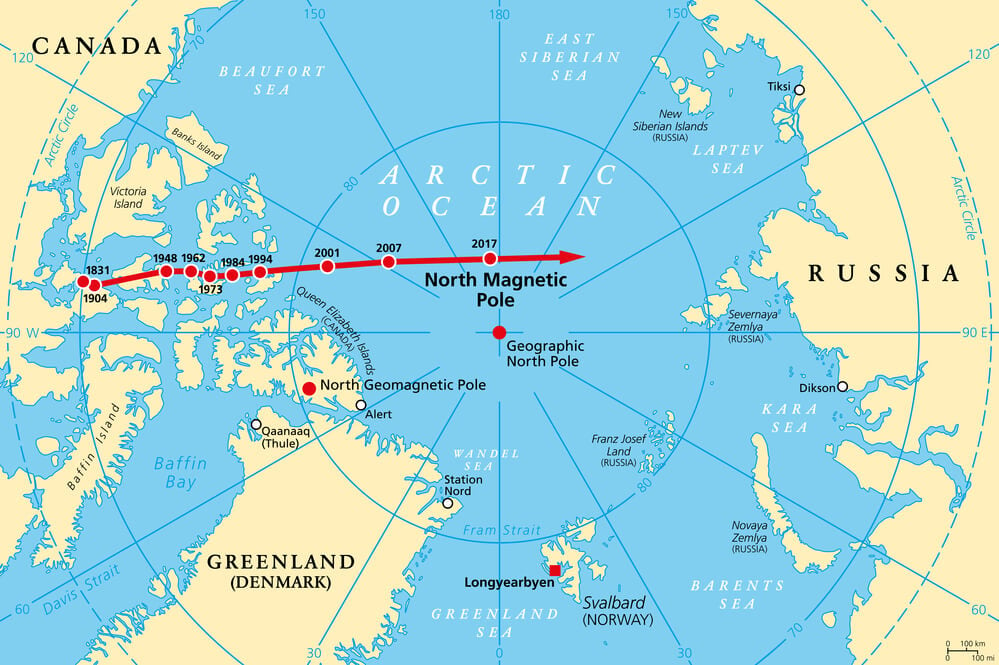
A phantom island depicted in the North Atlantic on numerous European maps beginning with a 1558 map published by Venetian brothers Nicolo and Antonio Zeno, Frisland appeared on charts for well over a century despite never actually existing, likely originating from a cartographic misunderstanding or confusion with Iceland or the Faroe Islands. Its persistent appearance on otherwise increasingly accurate 16th and 17th century maps illustrates how uncritically cartographers often copied earlier sources.
Rupes Nigra, the Magnetic North Pole Mountain
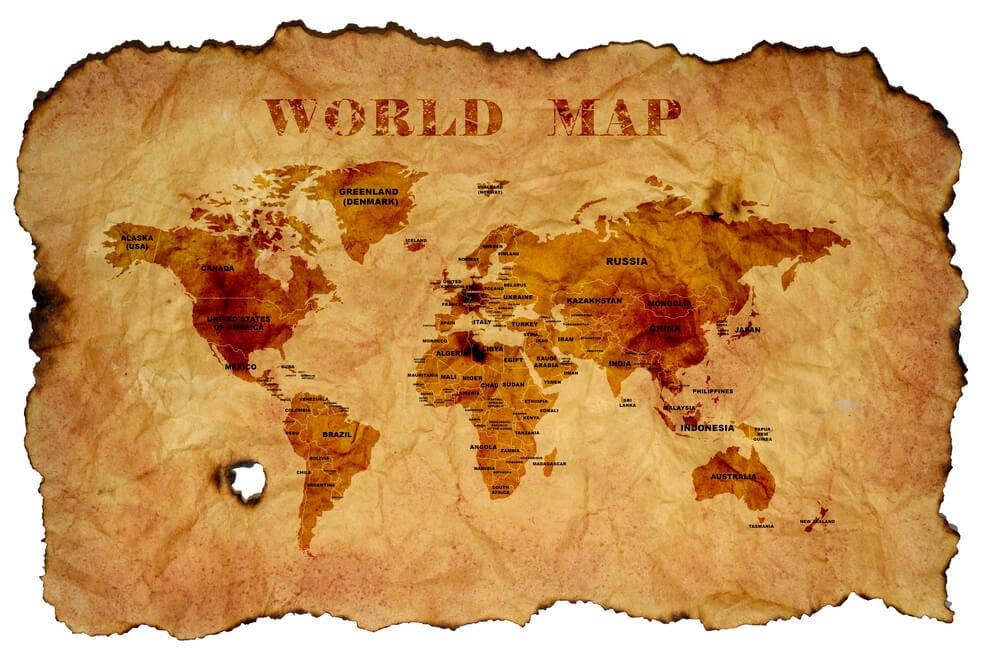
Medieval and Renaissance maps frequently depicted a massive black magnetic rock, Rupes Nigra, positioned precisely at the North Pole and theorized as the explanation for compass behavior, a feature that appeared on maps including versions attributed to 14th-century cartographic traditions well into the 16th century. The theory was gradually abandoned as later Arctic exploration and improved understanding of Earth’s actual magnetic field made clear no such landmass existed.
Confidence Printed in Ink
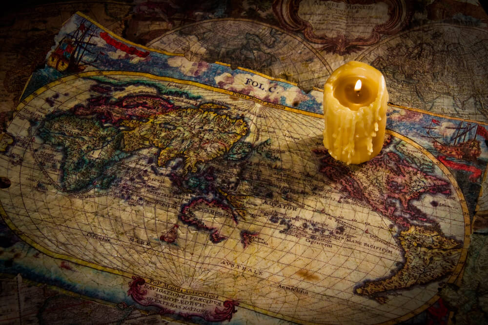
What unites nearly every map on this list is not carelessness but excessive confidence in incomplete information, a willingness to fill an unexplored blank space with either theory, rumor, or an earlier cartographer’s uncorrected mistake. Once an error made it onto an authoritative-looking map, subsequent mapmakers had every incentive to simply copy it rather than independently verify a specific coastline or island themselves.
Sandy Island’s 2012 removal from digital maps shows this pattern never fully disappeared with the advent of satellite imaging; it just moved into a new medium with new copying mechanisms. A map has always been less a perfect record of the world and more a record of what its makers, and everyone who copied them afterward, believed to be true at the time.
More from Go2Tutors!

- The Romanov Crown Jewels and Their Tragic Fate
- 13 Historical Mysteries That Science Still Can’t Solve
- Famous Hoaxes That Fooled the World for Years
- 15 Child Stars with Tragic Adult Lives
- 16 Famous Jewelry Pieces in History
Like Go2Tutors’s content? Follow us on MSN.