The 17 Most Bizarre Borders on the Planet
When most people think about country borders, they imagine straight lines on a map or maybe a river cutting through the landscape. But some borders around the world are so weird, so confusing, and so downright strange that they make you wonder what the mapmakers were thinking. From towns split right down the middle to borders that zigzag through people’s backyards, our planet has some seriously odd boundary lines.
These aren’t your typical frontier situations. Here’s a list of 17 borders that will make you scratch your head and question everything you thought you knew about international boundaries.
Baarle-Nassau and Baarle-Hertog
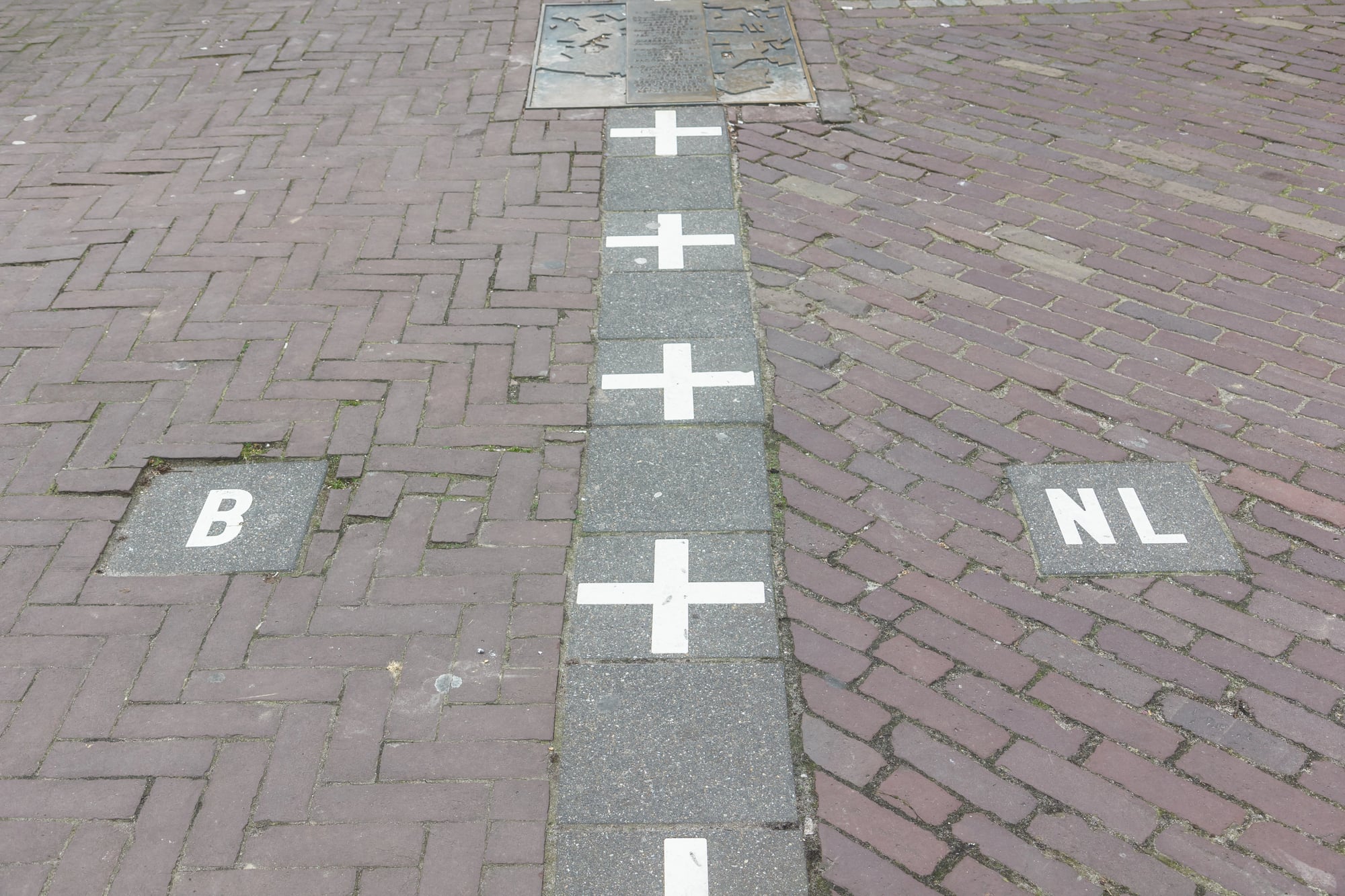
This Dutch-Belgian border situation looks like someone went crazy with a jigsaw puzzle. The town of Baarle contains 30 separate pieces of Belgium completely surrounded by the Netherlands, plus eight Dutch areas inside those Belgian bits.
Houses can literally straddle the border, with the front door in one country and the back door in another. People sometimes eat breakfast in Belgium and walk to their living room in the Netherlands.
Point Roberts
Picture this: you live in the United States, but to get to the rest of your country, you have to drive through Canada twice and show your passport four times. That’s daily life in Point Roberts, Washington, a 5-square-mile chunk of America that hangs below the 49th parallel.
The 1,300 residents there need to cross international borders just to buy groceries or go to school.
Campione d’Italia
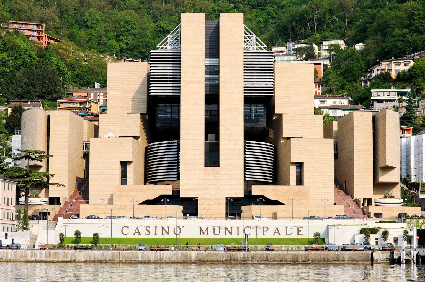
Italy decided to keep a small piece of land completely surrounded by Switzerland, creating one of Europe’s weirdest situations. This Italian town uses Swiss currency, follows Swiss postal codes, and even shares Switzerland’s phone system.
Yet it’s still technically Italy, which means locals get the fun of dealing with two different tax systems and legal frameworks.
The Gambia
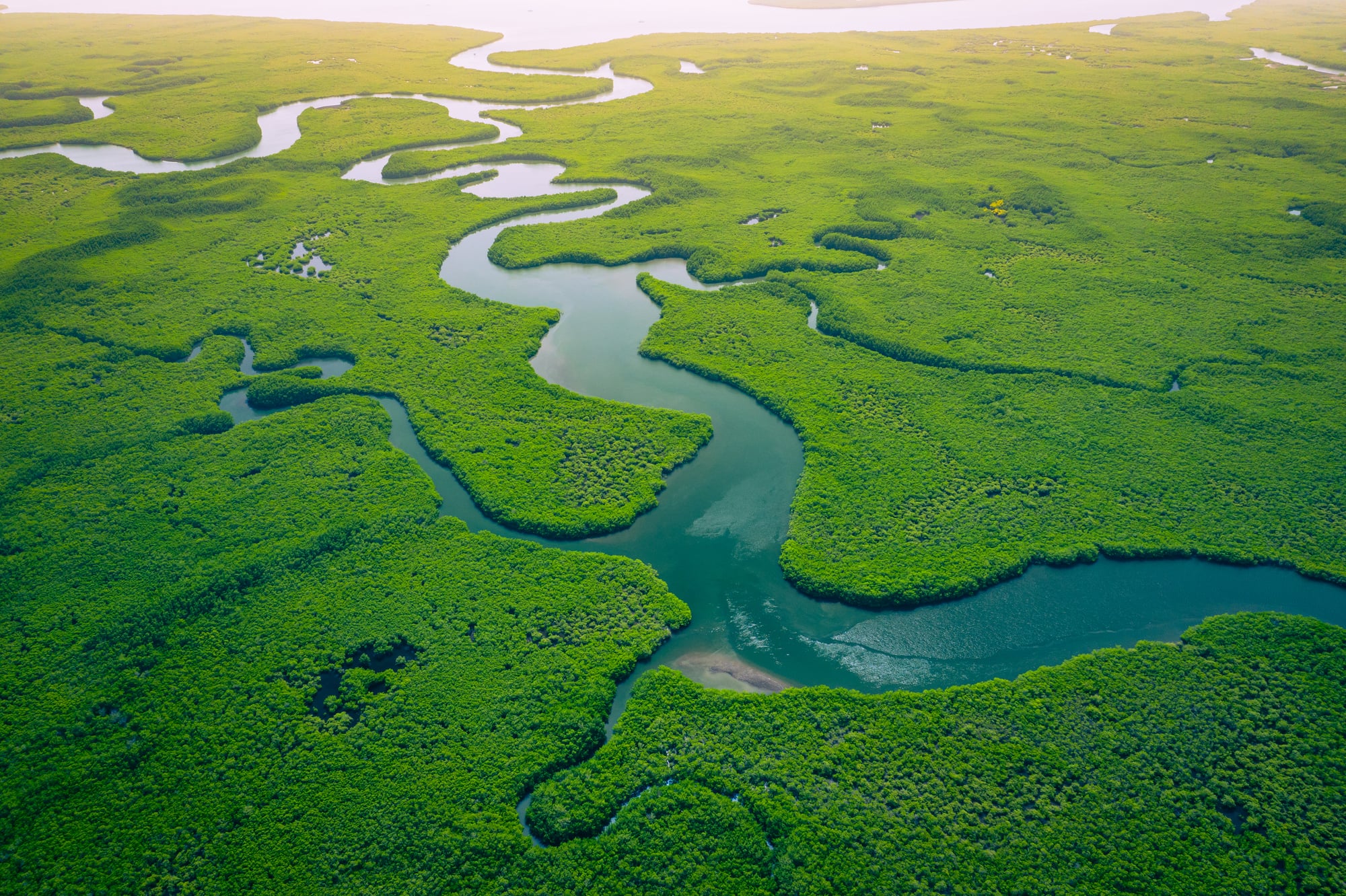
Imagine Senegal as a big piece of bread, and The Gambia as a thin knife cutting right through the middle of it. This West African country stretches inland like a finger, following the Gambia River for about 300 miles while staying ridiculously narrow.
At some points, you can practically throw a rock from one side of the country to the other, and Senegal wraps around it on three sides.
Haskell Free Library and Opera House
The border between Vermont and Quebec runs right through the middle of this cultural building. The entrance sits in the United States, but most of the books live in Canada.
Audience members watching a show might be sitting in America while the performers dance around on a Canadian stage. It’s probably the only place where you can check out a library book internationally without crossing a border.
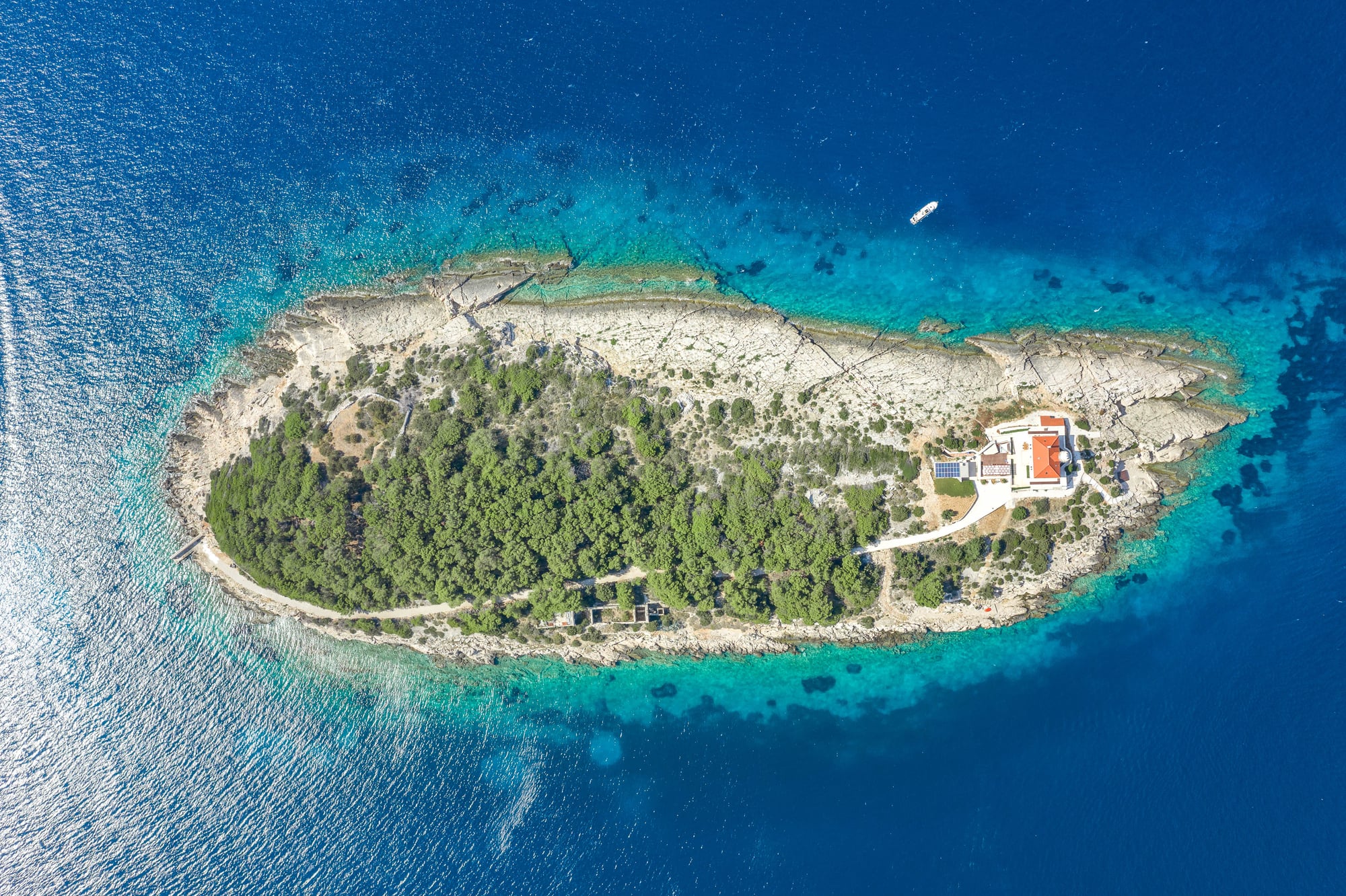
Pheasant Island
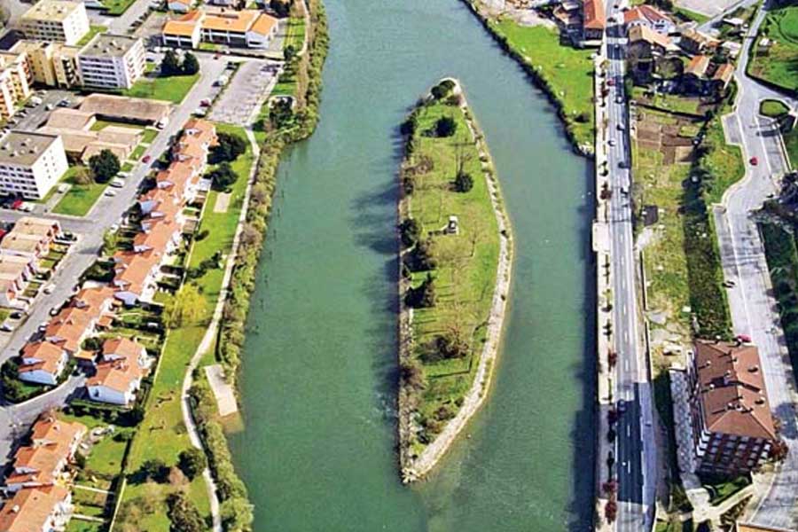
France and Spain take turns owning this tiny island in the Bidassoa River every six months like some kind of international timeshare arrangement. For half the year, it belongs to France, then switches to Spain, then back again.
This 200-square-yard piece of land has been changing hands since 1659, making it possibly the world’s most frequently transferred territory.
Cooch Behar Enclaves
Before India and Bangladesh sorted this mess out in 2015, this area contained the most complicated border situation on Earth. There were Indian villages completely surrounded by Bangladesh, which were themselves surrounded by India again.
Some places had enclaves within enclaves within enclaves, creating a geographic nightmare that took decades to untangle.
Bir Tawil
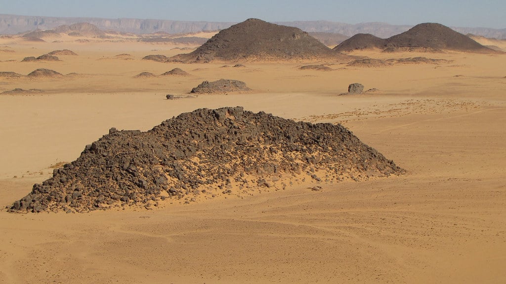
Nobody wants this 800-square-mile patch of desert between Egypt and Sudan. Both countries claim the more valuable Halaib Triangle next door, but their legal arguments also technically give away Bir Tawil to each other.
The result is a genuine no man’s land where nobody pays taxes, nobody enforces laws, and technically nobody rules.
Korean Demilitarized Zone
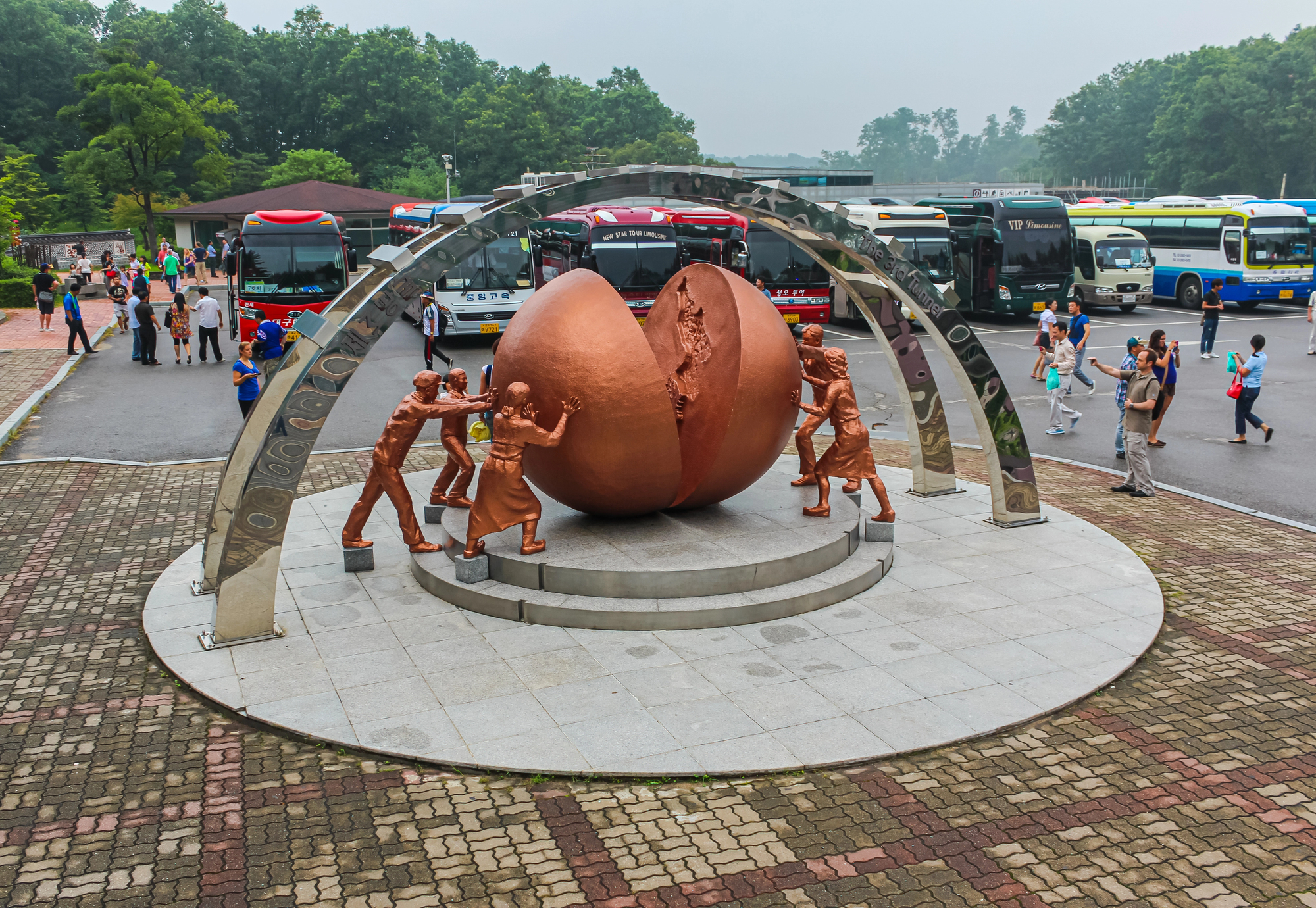
The DMZ between North and South Korea might be the most heavily guarded border in the world, but it’s also accidentally become a nature preserve. The 2.5-mile-wide strip of land has been off-limits to humans for over 70 years, so rare birds and animals now call it home.
It’s simultaneously the tensest and most peaceful border on the planet.
Diomede Islands
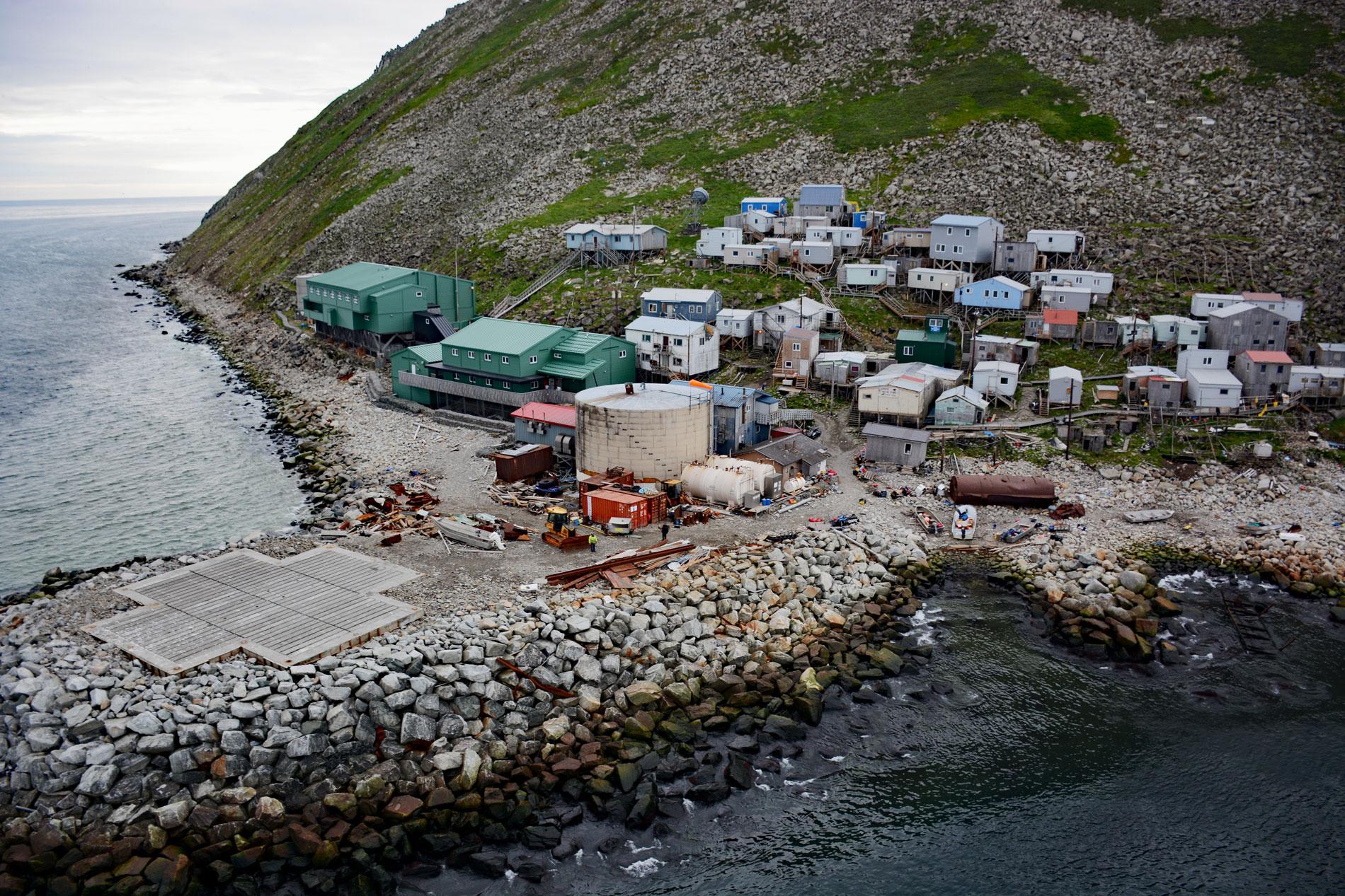
Big Diomede belongs to Russia, Little Diomede belongs to the United States, and only 2.4 miles of freezing water separates them. During winter, locals used to walk between the countries across the frozen sea.
The International Date Line runs between them, so looking from one island to the other is literally looking into tomorrow or yesterday.
Swiss-Austrian Border Through Kleinwalsertal
The Austrian valley of Kleinwalsertal can only be reached by driving through Switzerland, but it’s still technically Austria. This creates all sorts of practical headaches, like Austrian police having to ask Swiss permission to reach their own territory.
The valley uses German currency, Swiss postage, and Austrian laws, making it a bureaucratic nightmare.
Märket Island Lighthouse
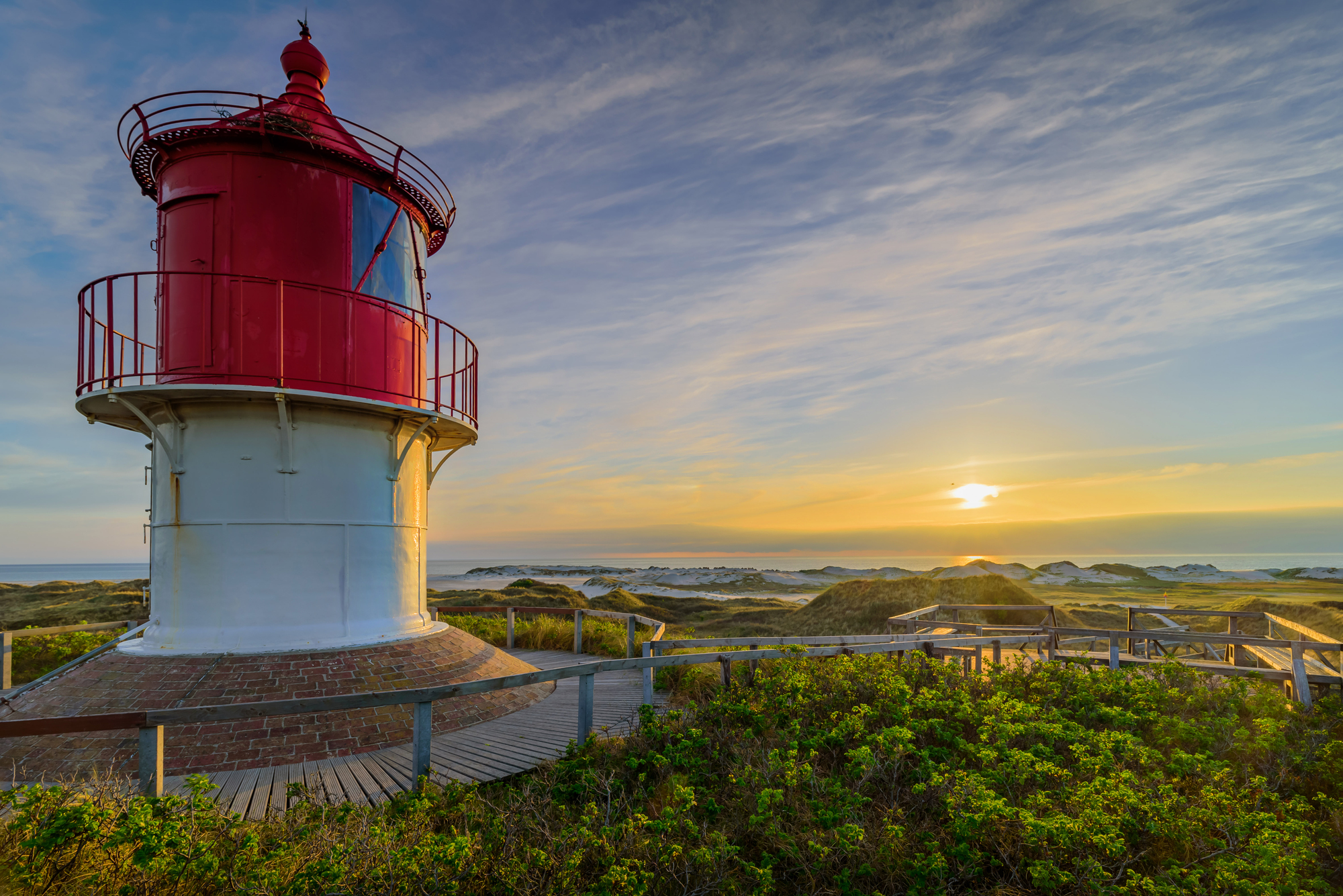
When Finland and Sweden built a lighthouse on this tiny Baltic island, they accidentally put it on the wrong side of the border. Rather than move the lighthouse, they simply bent the border around it.
Now the international boundary makes a weird zigzag to accommodate one building, proving that sometimes it’s easier to change countries than move architecture.
Derby Line-Stanstead Border
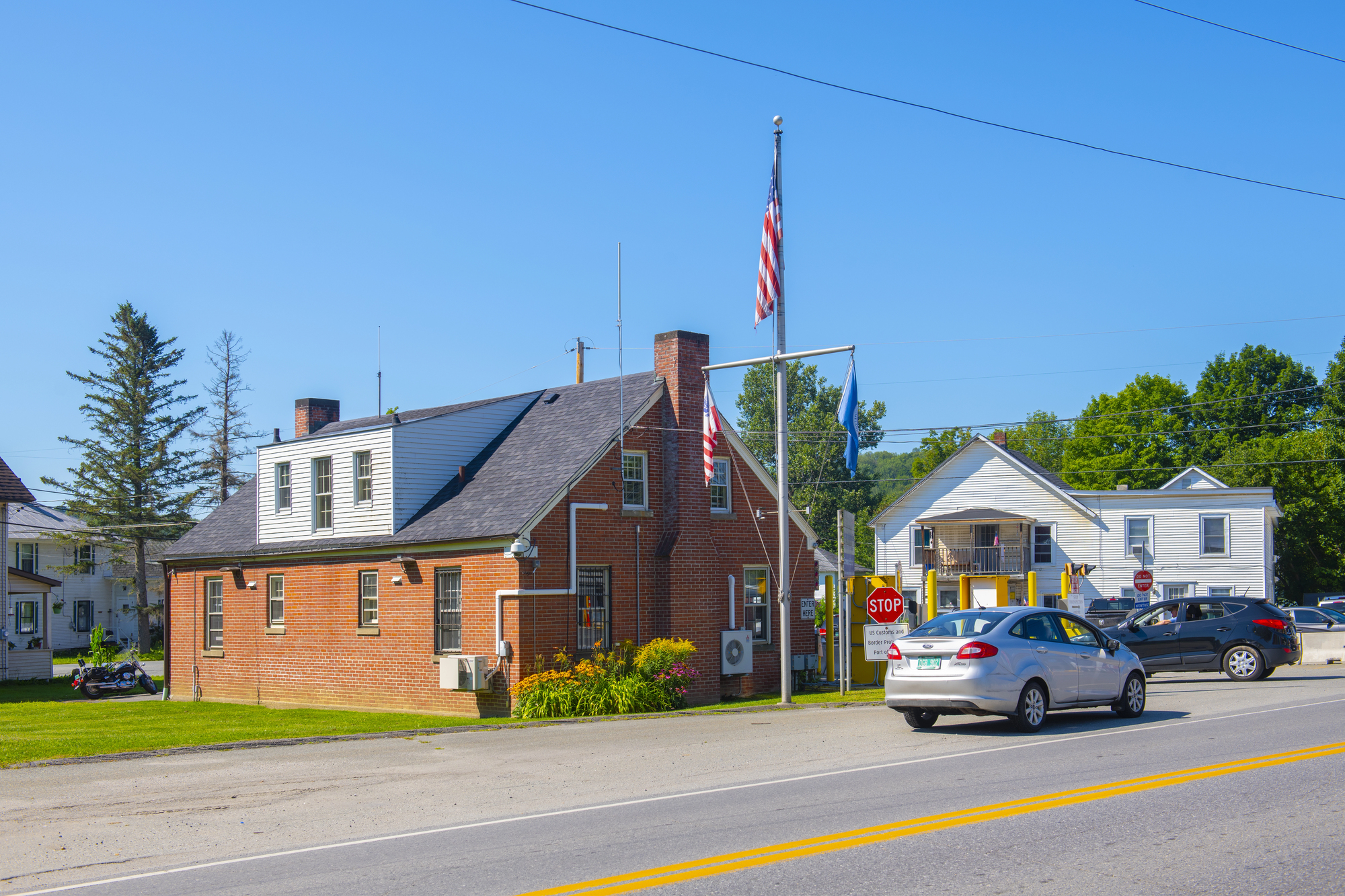
The border between Vermont and Quebec runs right down the middle of several streets in these twin towns. The Haskell Library straddles the line, residents mow lawns that cross international boundaries, and some houses have their front door in America and back door in Canada.
Border agents basically just hang out and make sure nobody gets too creative about smuggling.
Dahala Khagrabari

Before the 2015 land swap, this was the world’s only third-order enclave – a piece of India inside Bangladesh inside India inside Bangladesh. Getting there from the ‘main’ India required crossing international borders four times.
Locals needed special permits just to visit their own relatives, making family dinners an international incident.
Vennbahn Railway Border
When Belgium got control of this railway line after World War I, they also got a thin strip of land around the tracks. This created five separate German territories completely cut off from the rest of Germany.
The railway borders are so narrow that in some places, German farmers have to cross into Belgium just to reach different parts of their own fields.
Sastavala Island
This Finnish island in a lake has a Russian island inside it, which contains a Finnish lake, which has another island that belongs to Russia. It’s like geographic Russian nesting dolls, where you need a map and probably a GPS to figure out which country you’re standing in.
Locals joke that you can island-hop between nations without ever leaving the water.
United States-Mexico Border Wall Gaps
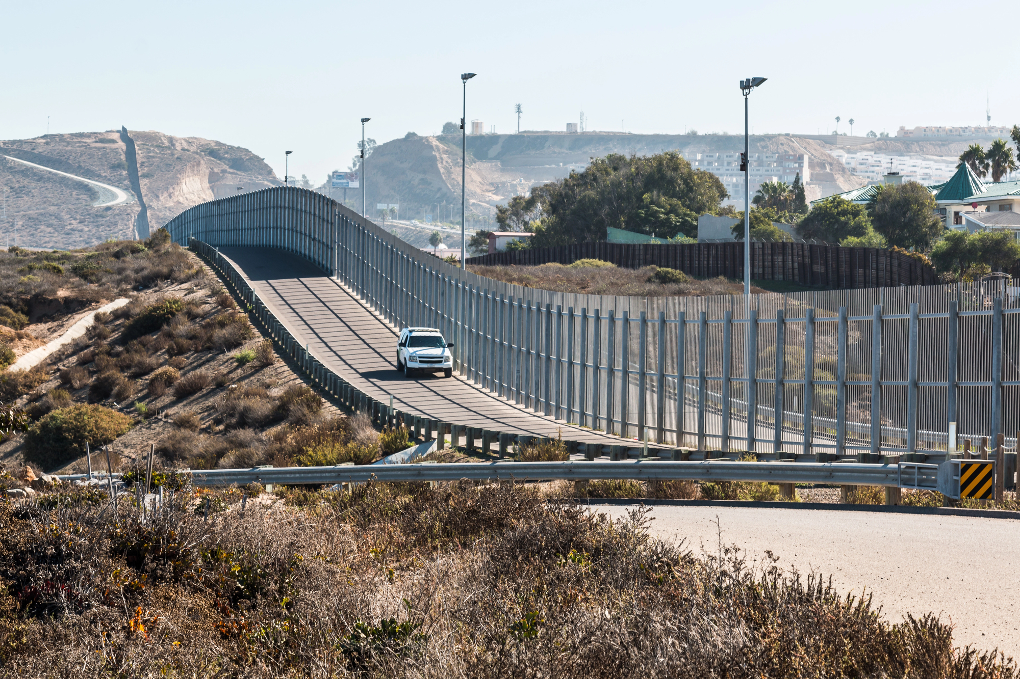
The border wall between these countries has some genuinely bizarre gaps and detours. In some places, it cuts right through university campuses, forcing students to show passports to get to class.
Other sections make wild detours around people’s houses, creating tiny American islands surrounded by Mexican territory where residents need border patrol escorts to check their own mail.
When Geography Gets Creative
These bizarre borders remind us that the lines on our maps often tell stories of historical accidents, diplomatic compromises, and geographical challenges that nobody saw coming. While modern technology and international agreements have cleaned up some of these situations, others persist as fascinating reminders that the world doesn’t always make sense.
They prove that sometimes the most interesting parts of geography happen where human decisions collide with natural landscapes, creating boundaries that are anything but ordinary.
More from Go2Tutors!

- The Romanov Crown Jewels and Their Tragic Fate
- 13 Historical Mysteries That Science Still Can’t Solve
- Famous Hoaxes That Fooled the World for Years
- 15 Child Stars with Tragic Adult Lives
- 16 Famous Jewelry Pieces in History
Like Go2Tutors’s content? Follow us on MSN.