12 Places Where Nature Rewrote the Map
Have you ever wondered if a map has always been that way? The Earth beneath our feet is continually changing, reshaping, and reinventing itself. This is crazy. Sometimes these changes occur so gradually that we wouldn’t notice them for a hundred lifetimes.
In other instances, however, nature chooses to become dramatic and alter entire landscapes in a matter of hours or days.Give it some thought.
Nothing is as permanent as it appears, not even the mountains we admire, the rivers we depend on, or the land on which we build our homes. Throughout history, Mother Nature has accomplished some pretty amazing metamorphoses, some of which are so amazing that they have actually altered the maps we use today.
Here are 12 locations where nature decided that the old geography was no longer functional and produced something completely different.
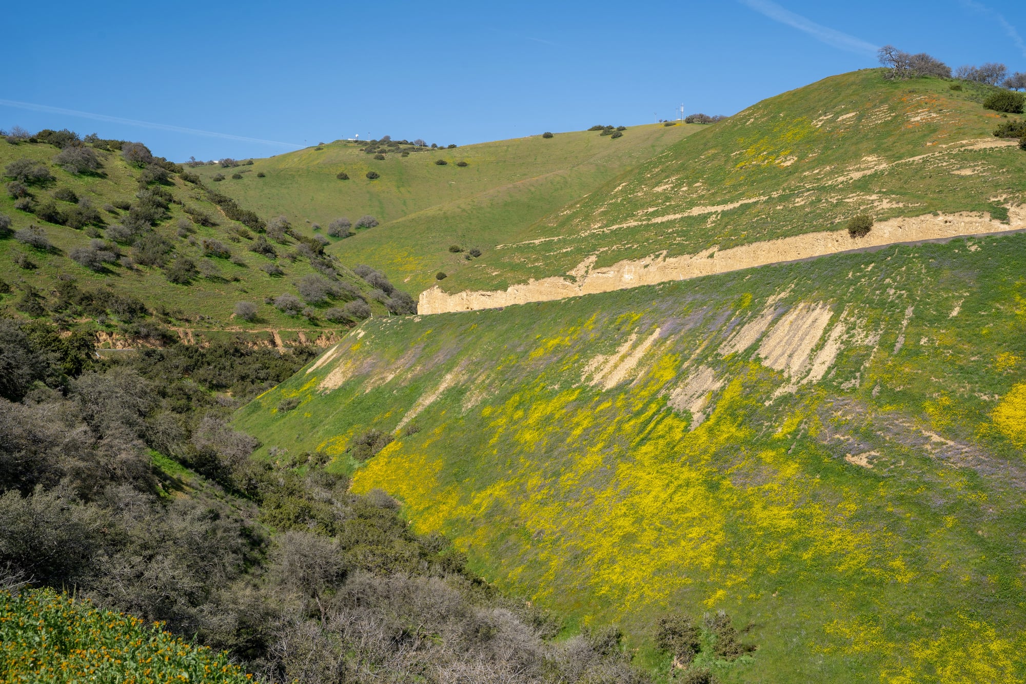
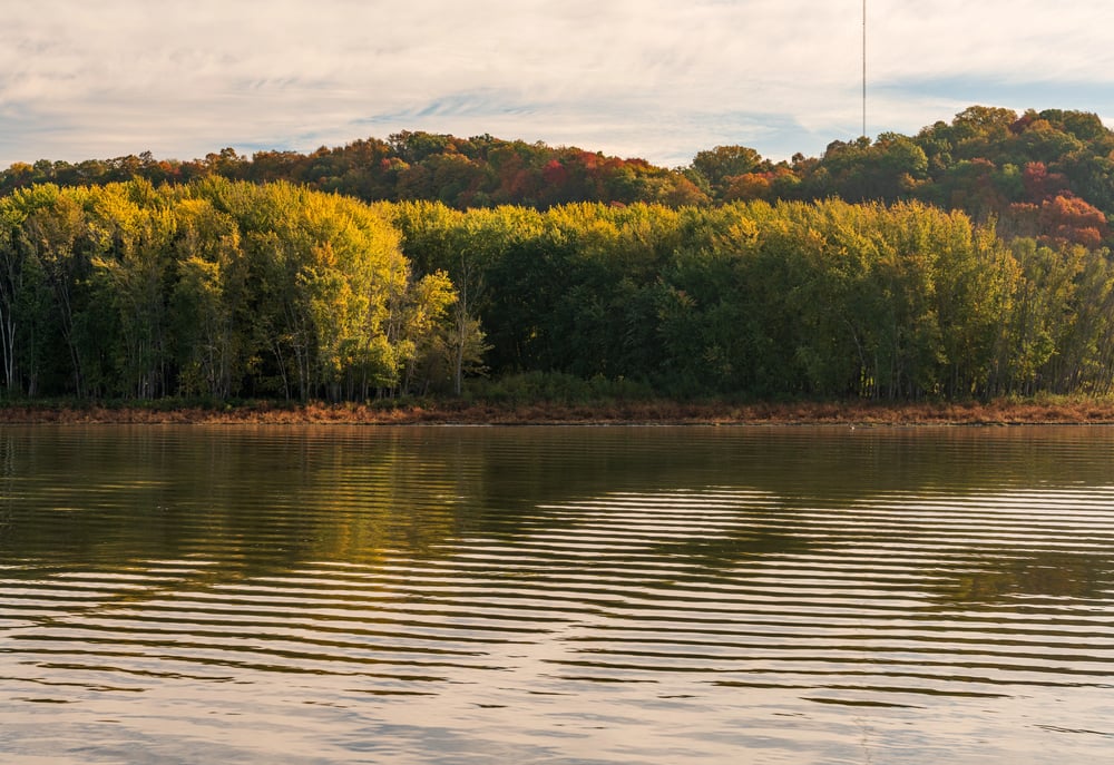
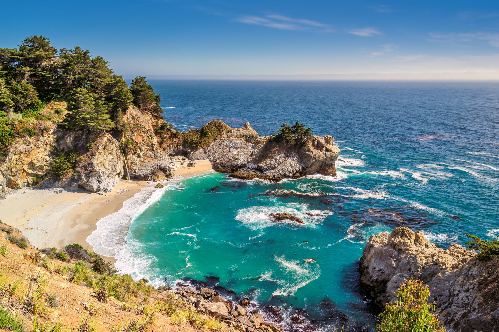
Reelfoot Lake, Tennessee
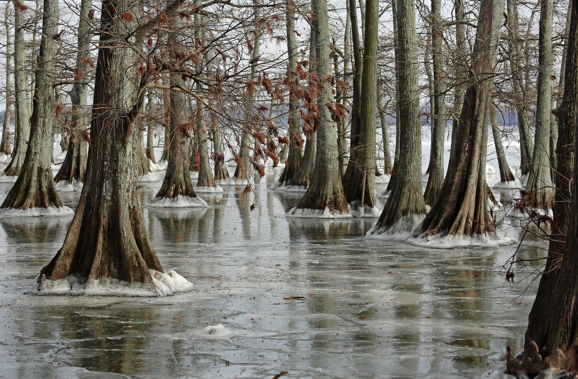
Between December 1811 and February 1812, a series of massive earthquakes struck the New Madrid region, and one of them decided to gift Tennessee a brand-new lake. The violent shaking in February 1812 caused the land in northwest Tennessee to sink between 5 and 20 feet, creating a depression that quickly filled with water from nearby rivers.
Just like that, Reelfoot Lake was born—an 18-mile-long body of water that appeared virtually overnight. Today, this accidental lake is home to bald eagles and cypress trees, and it remains one of the most striking examples of how earthquakes can literally punch new features into the landscape.
The Hawaiian Islands
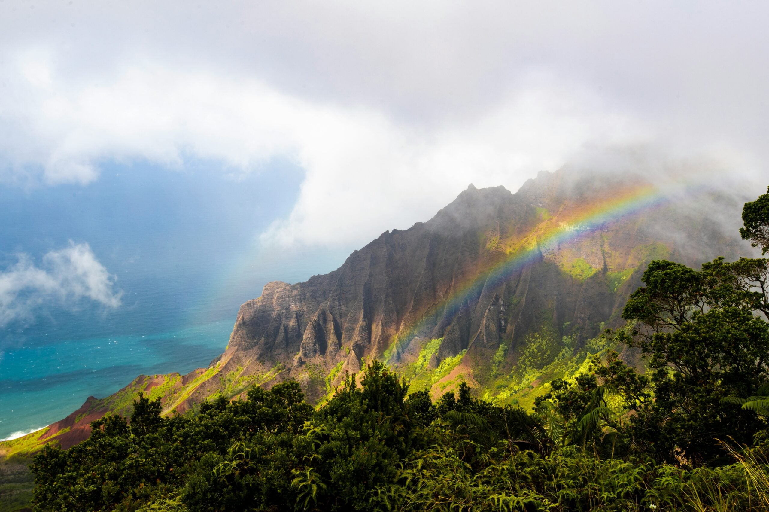
Picture this: a stationary hotspot deep in the Earth’s mantle has been pumping out molten rock for at least 70 million years. Meanwhile, the Pacific Plate keeps sliding over it like a conveyor belt, creating island after island in a chain stretching thousands of miles.
Each Hawaiian island is essentially a massive volcano that formed as the plate moved, which is why the Big Island is still volcanically active while Kauai, the oldest major island, has been quiet for ages. Mauna Kea on the Big Island rises about 13,800 feet above sea level, but here’s the mind-blowing part: measured from its base on the ocean floor to its summit, it stands over 33,500 feet tall, making it technically taller than Mount Everest when you count what’s hidden beneath the waves.
Like Go2Tutors’s content? Follow us on MSN.
Mount St. Helens, Washington
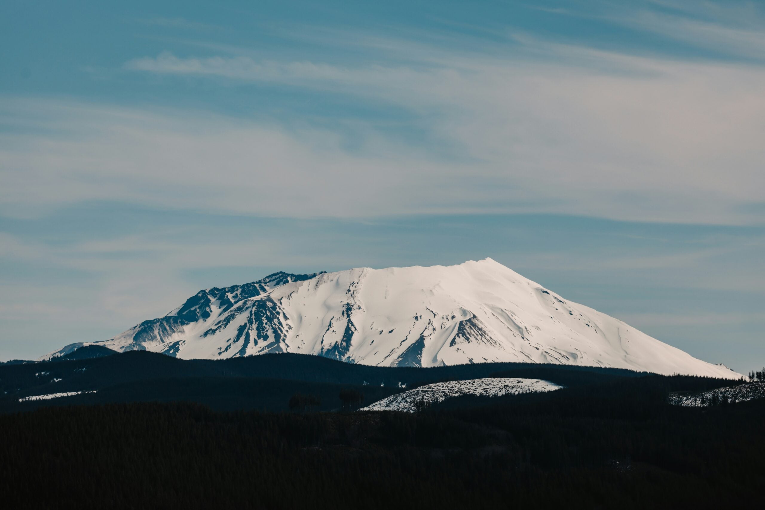
On May 18, 1980, Mount St. Helens threw what might be the most spectacular tantrum in modern American history. The entire north face of the mountain collapsed in the largest landslide ever recorded, and the resulting blast leveled 230 square miles of forest in minutes.
The eruption literally shortened the mountain by 1,314 feet and created a massive horseshoe-shaped crater where a picturesque peak once stood. Spirit Lake, a popular recreation spot, was completely transformed—filled with debris, ash, and millions of logs blasted in from the surrounding forests that still float on its surface today.
Surtsey, Iceland
In November 1963, fishermen off the coast of Iceland noticed something strange: the ocean was erupting. Over the next few years, underwater volcanic eruptions built up enough material to break the surface and create a brand-new island.
Scientists named it Surtsey, and they’ve been watching it like hawks ever since. This island became one of the most pristine natural laboratories on Earth because researchers could observe how life colonizes brand-new land from absolute zero.
The San Andreas Fault Line, California
The San Andreas Fault isn’t just one earthquake—it’s an ongoing geographic soap opera. This 800-mile-long fracture zone marks where the Pacific Plate grinds past the North American Plate at about two inches per year.
During the infamous 1906 San Francisco earthquake, the ground shifted horizontally by up to 20 feet in some places, instantly redrawing property lines and creating visible offsets in roads, fences, and rivers. The 1992 Landers earthquake demonstrated how ruptures can jump from fault to fault, changing the desert landscape and teaching scientists that earthquakes are way more complex than previously thought.
Like Go2Tutors’s content? Follow us on MSN.
Anak Krakatau, Indonesia
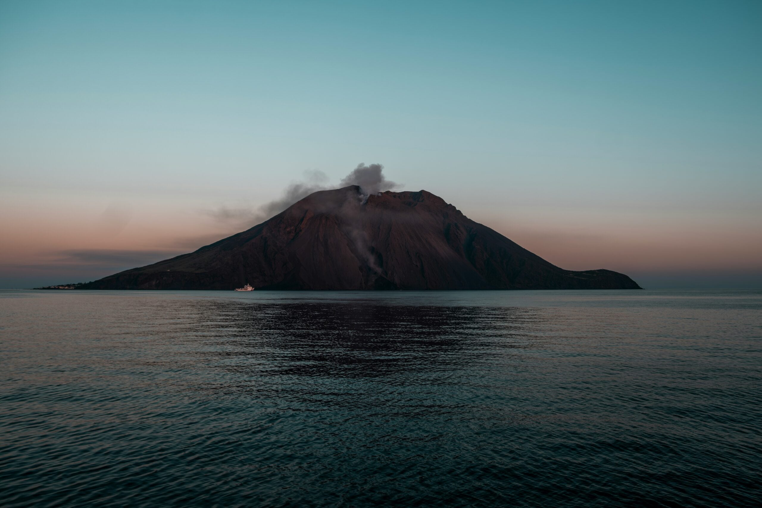
In 1883, the volcanic island of Krakatoa exploded with such violence that it was heard 3,000 miles away. The eruption obliterated most of the original island and triggered tsunamis that killed around 36,000 people.
But nature wasn’t done with that spot. In 1927, a new volcanic cone started growing from the submerged caldera, and locals named it Anak Krakatau—’Child of Krakatoa.’
The Himalayas
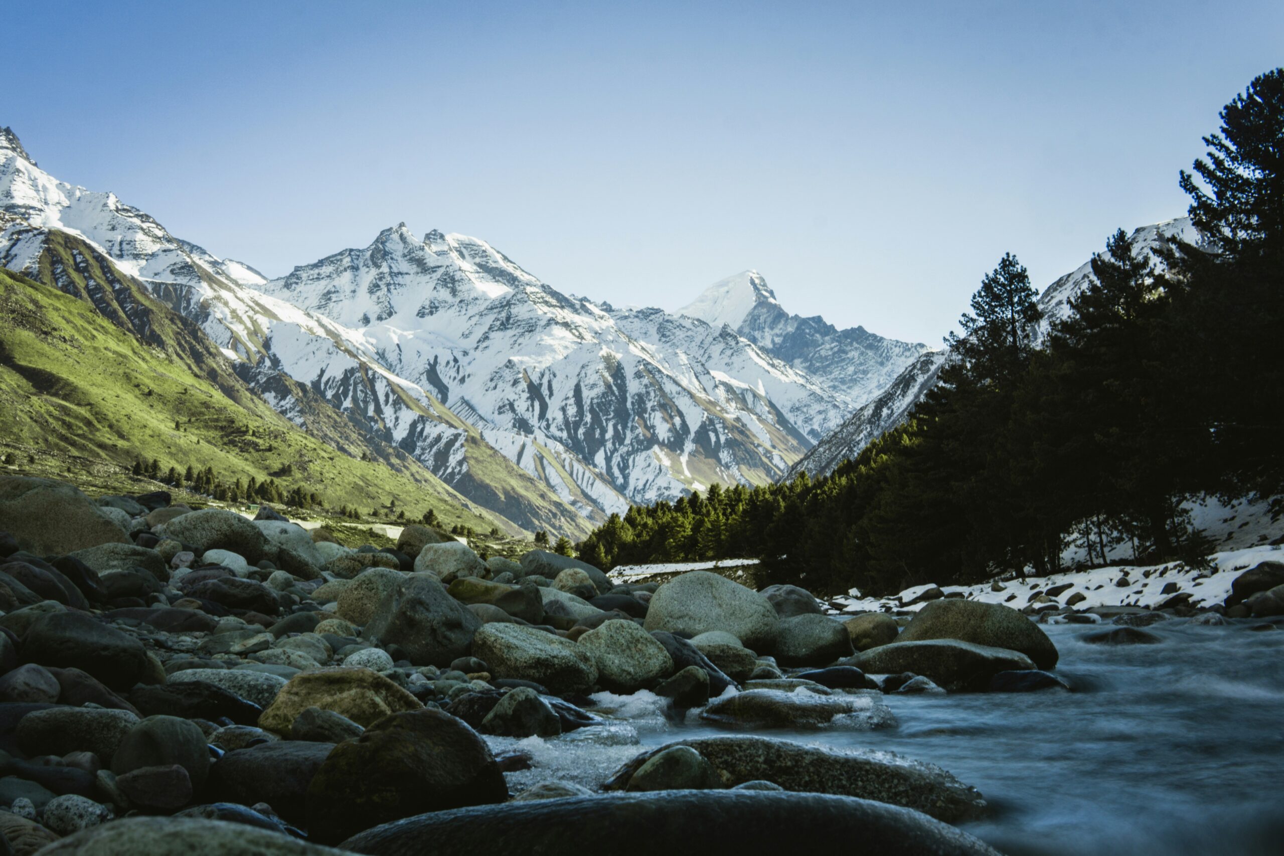
These towering mountains aren’t ancient relics—they’re still growing. Around 50 million years ago, the Indian tectonic plate crashed into the Eurasian plate and just kept pushing.
Instead of sliding under like most oceanic plates do, India’s continental crust crumpled and folded upward, creating the world’s highest mountain range. Mount Everest gains about 1 to 2 millimeters in height every year thanks to ongoing tectonic pressure.
Spirit Lake, Washington
Before Mount St. Helens erupted, Spirit Lake was a pristine mountain retreat surrounded by old-growth forests. The eruption dumped so much debris into the lake that its water level rose by about 200 feet, and its surface area nearly doubled.
The blast leveled forests across the entire blast zone, sending millions of trees into the water and forming enormous floating log mats that still drift around the lake today. The entire ecosystem was completely reset—what was once a cold, clear alpine lake became wider, shallower, and warmer, with entirely different species moving in.
Like Go2Tutors’s content? Follow us on MSN.
The Mississippi River’s Backward Flow
During the February 7, 1812 New Madrid earthquake, witnesses reported something that sounds impossible: the Mississippi River appeared to flow backward for several hours. What actually happened was a combination of dramatic geological events—the earthquake thrust land upward across the riverbed, creating instant dams and waterfalls, while also generating powerful seismic waves that traveled upstream through the water.
These waves, combined with the sudden damming effects, created the illusion of reverse flow. Some boats went over newly formed waterfalls and sank, islands disappeared completely, and the river’s course shifted in multiple locations.
Iceland’s Mid-Atlantic Ridge
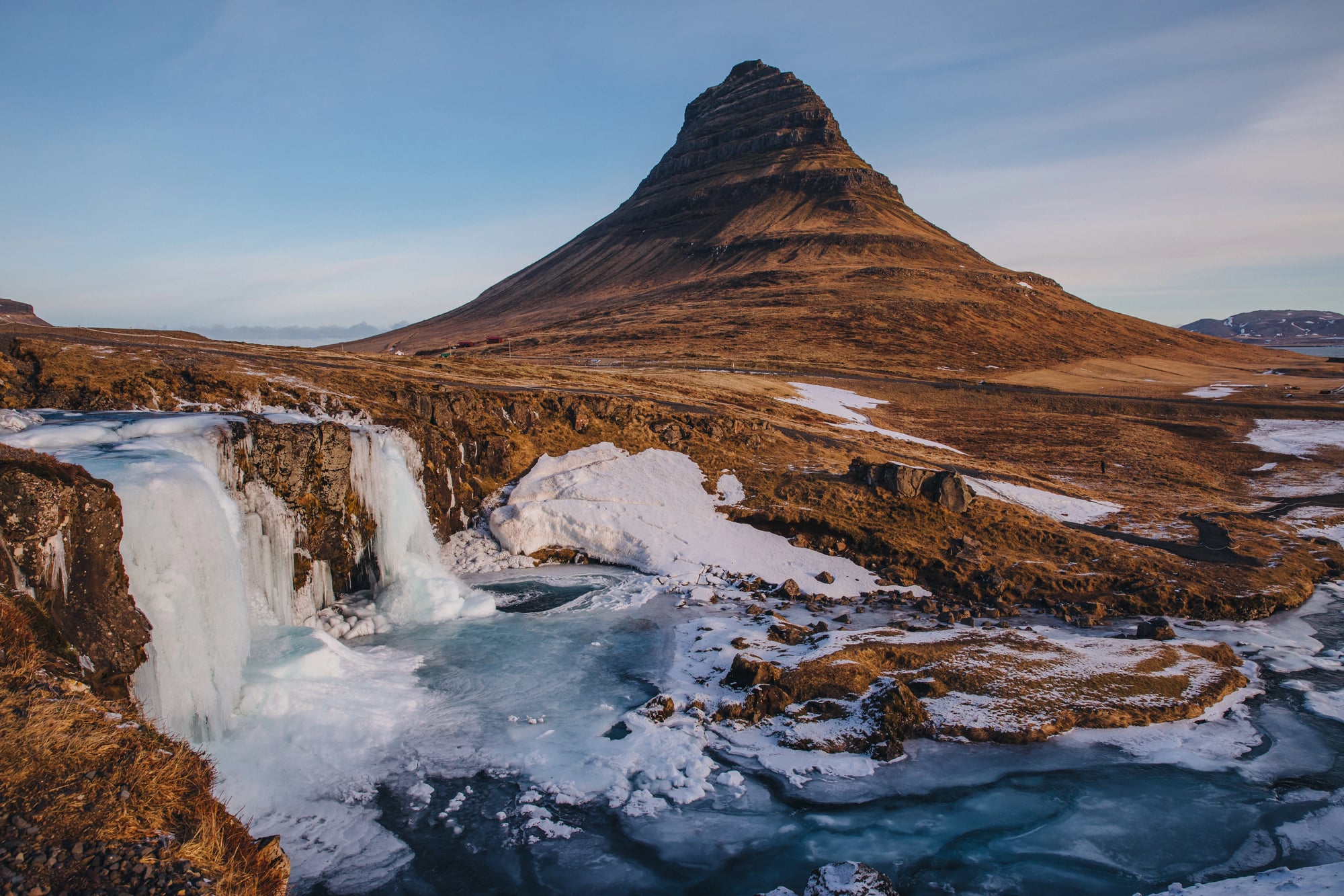
Iceland sits right on top of the spot where the North American and Eurasian tectonic plates are pulling apart. The entire island is essentially a volcanic construction zone where new land is constantly being created.
The 2010 eruption of Eyjafjallajökull didn’t just disrupt air travel worldwide—it reshaped local valleys and deposited massive amounts of volcanic material across the landscape. You can literally walk between two continental plates in Þingvellir National Park, where a rift valley widens by about an inch each year.
Alaska’s 1964 Coastline Changes
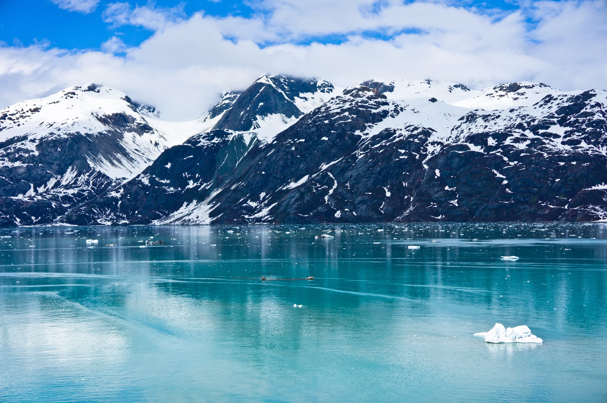
The Great Alaska Earthquake of 1964 was a magnitude 9.2 monster that dramatically altered the state’s coastline. Some areas subsided up to 8 feet, while others were uplifted by as much as 36 feet, completely changing the relationship between land and sea.
Entire harbors became unusable when the seafloor rose, and new tidal zones appeared where dry land used to be. The earthquake was so powerful that it actually shortened the length of Earth’s day by a few microseconds and caused the planet to vibrate like a bell.
Like Go2Tutors’s content? Follow us on MSN.
The Pacific’s Volcanic Island Chains
The edges of the Pacific Ocean are lined with volcanic island chains, each formed through different geological processes. The Aleutian Islands stretching from Alaska and the volcanic arcs of Japan and Indonesia were all born from subduction zones, where oceanic plates dive beneath continental plates and melt, forcing magma upward to create new islands.
These aren’t static features—they’re constantly being reshaped by eruptions, earthquakes, and the slow grinding of plates. Some islands grow, others erode away, and new ones emerge from the depths.
Where Earth Keeps Surprising Us
One thing is evident when we reflect on these 15 significant changes: our planet is far less stable than we would like to believe. The landscapes depicted on the maps we rely on today might appear entirely different tomorrow if nature decides to show off.
While some of these changes occurred over years as a result of ongoing volcanic activity, others occurred in a matter of seconds during strong earthquakes. The speed at which life recovers from these devastating occurrences is truly amazing.
In a matter of years, Reelfoot Lake went from being nonexistent to supporting entire ecosystems. Once a devastated moonscape, Mount St. Helens is now teeming with animals and plants that have adapted to their drastically changed surroundings.
Not only does nature alter geography, but it also reimagines it, bringing new life to previously barren areas. We are constantly reminded that Earth’s story is still being written, one dramatic chapter at a time, by every earthquake, eruption, and tectonic shift.
This is just a template and this text should be replaced in your post. Each gallery slide consists of a H2 heading, one image, an image caption, and then paragraph text.
You can link to your post or another post which is reflected in the image in order to get traffic. You should have a minimum of 10 gallery slides, so 10 of these block combos. This template has 10 for you to start with.
More from Go2Tutors!

- 16 Historical Figures Who Were Nothing Like You Think
- 12 Things Sold in the 80s That Are Now Illegal
- 15 VHS Tapes That Could Be Worth Thousands
- 17 Historical “What Ifs” That Would Have Changed Everything
- 18 TV Shows That Vanished Without a Finale
Like Go2Tutors’s content? Follow us on MSN.