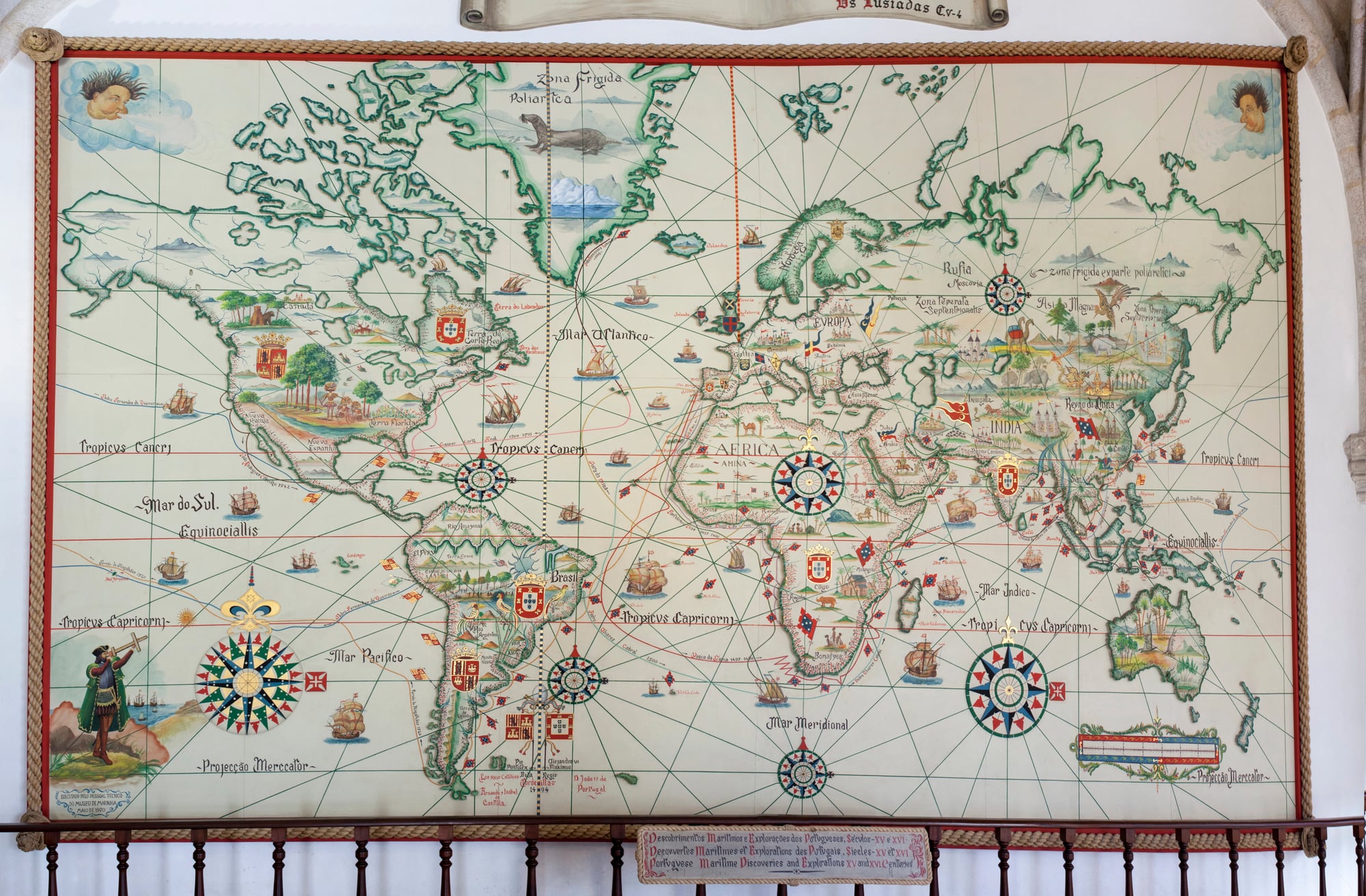
How Early Expeditions Rewrote World Geography
It took centuries to build those maps from geography class. Back then, folks had to travel firsthand – no satellites or GPS around.
Early adventurers didn’t merely spot unknown lands – they shifted beliefs about Earth’s form and scale. Each journey forced map updates, fixed outdated errors, yet frequently revealed a planet weirder than expected.
The Portuguese Push Down Africa’s Coast
Portuguese sailors had already been exploring parts of West Africa before Prince Henry established his navigation school. Henry’s role, while significant in organizing knowledge and funding expeditions, is often overstated.
What mattered was the steady progression southward throughout the 1400s. Portuguese captains inched down the coastline year after year, each voyage extending a bit farther than the last.
They mapped the bulge of West Africa, then kept going past the equator. This systematic approach revealed that Africa extended much farther south than ancient geographers had claimed.
By 1488, Bartolomeu Dias rounded the Cape of Good Hope, proving that ships could reach the Indian Ocean by sailing around Africa’s southern tip.
Columbus and the Width Problem
Christopher Columbus badly miscalculated Earth’s size. Ancient scholars like Eratosthenes had already measured the planet’s circumference accurately back in 240 BCE.
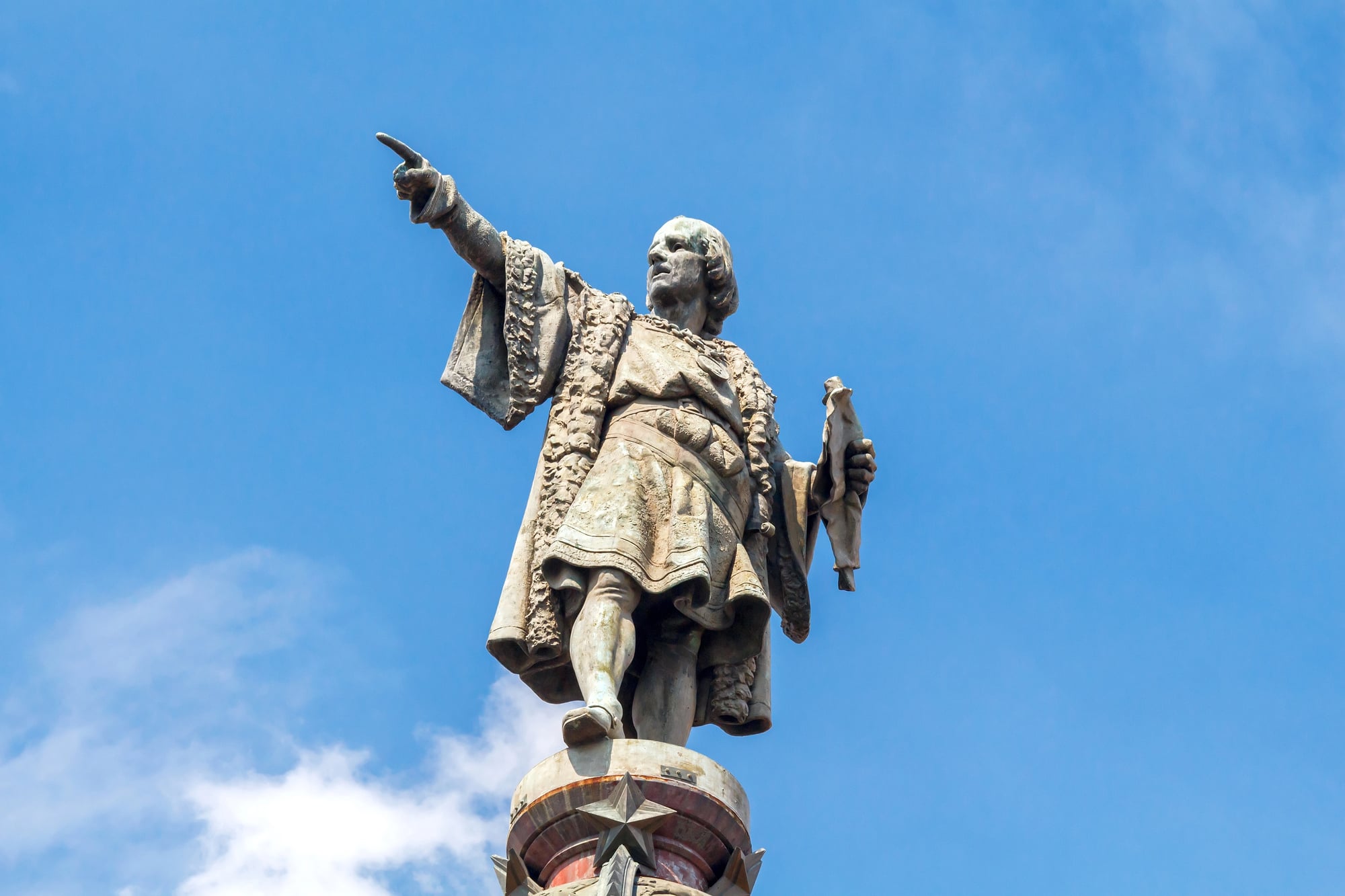
Columbus rejected these calculations and insisted the distance from Europe to Asia was far shorter than it actually was. When he reached the Caribbean in 1492, he claimed he’d found islands off the Asian coast.
He died still believing this. But his voyages forced mapmakers to add something completely unexpected to their charts: two massive continents blocking the western route to Asia.
The implications took decades to sink in. The world hadn’t gotten bigger—people just realized there was more land in places they hadn’t anticipated.
Magellan’s Circumnavigation Measures Everything

Ferdinand Magellan’s expedition between 1519 and 1522 provided the first practical measurement of Earth’s true size through actual travel. Educated Europeans already accepted that Earth was spherical, but Magellan’s voyage gave them real numbers.
His ships sailed west from Spain, crossed the Atlantic, squeezed through the strait at South America’s southern tip, and crossed an ocean so vast that Magellan named it “Pacific” because it seemed so calm. The voyage killed Magellan and most of his crew.
Scurvy, starvation, and battles claimed hundreds of lives. Only 18 of the original 270 crew members made it back to Spain.
But they’d sailed completely around the planet, providing the first reliable measurements of global distances and ocean sizes.
The Arctic Passages That Weren’t There
European powers spent centuries hunting for northern routes to Asia. They believed you could sail over North America or above Russia to reach the Pacific.
Dozens of expeditions tried. Most failed miserably.
Ships got trapped in ice, crews died of cold and hunger, and captains came home with maps showing dead ends where they’d hoped to find open water. The Northwest Passage through Canada’s Arctic islands exists, but ice makes it nearly impossible to navigate without modern technology.
The Northeast Passage above Russia proved slightly more feasible, but still treacherous. These failed attempts gradually filled in the Arctic portions of world maps, showing that the northern regions offered no easy shortcuts.
Cook’s Three Voyages Mapped the Pacific
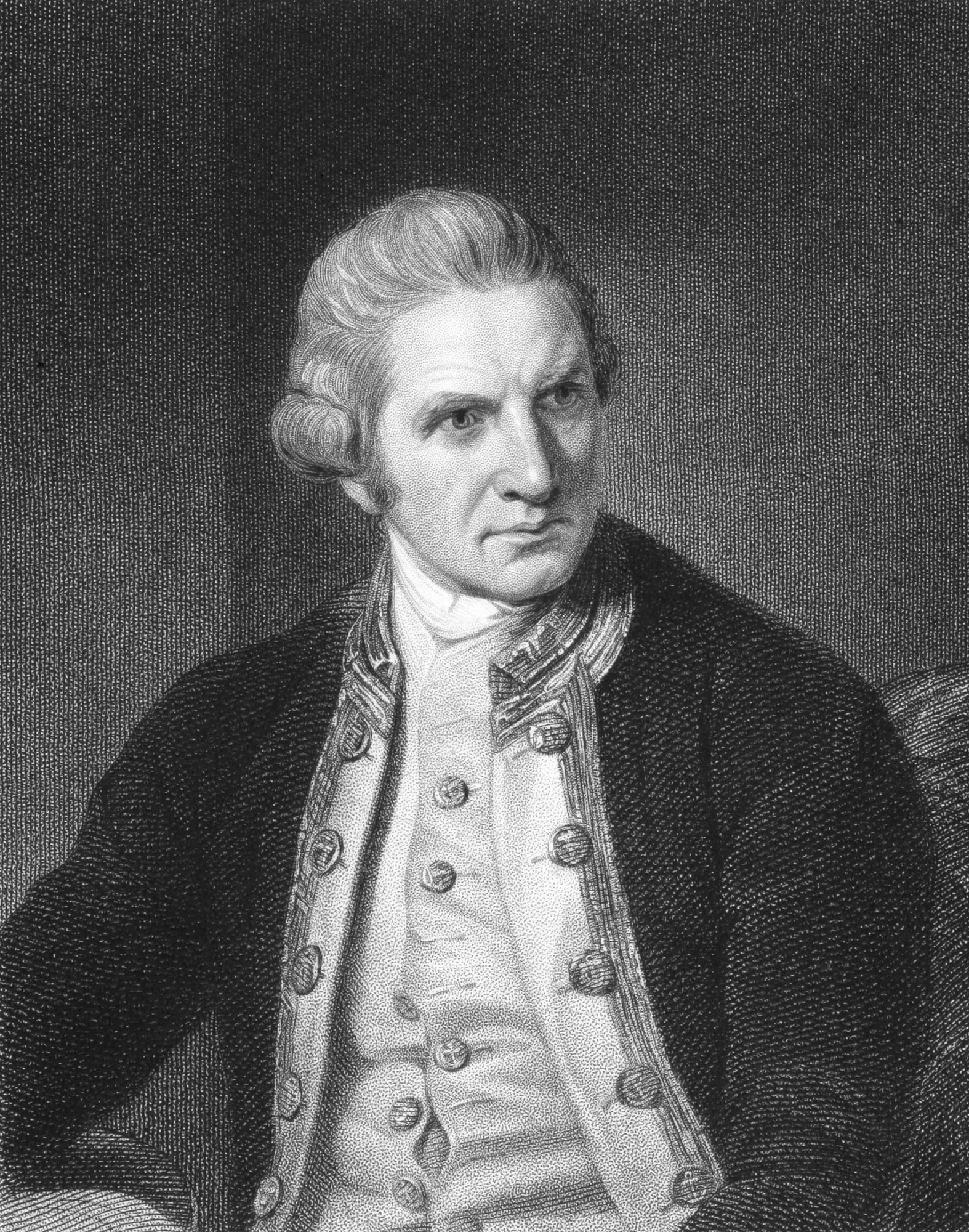
James Cook conducted three separate expeditions between 1768 and 1779 that fundamentally changed maps of the Pacific Ocean. He charted New Zealand’s coastline, proving it was two separate islands rather than part of a larger southern continent.
He mapped Australia’s eastern coast in detail. He explored and documented countless Pacific islands that Europeans had only vaguely known about.
His voyages disproved the existence of Terra Australis in the South Pacific, though belief in other southern landmasses persisted elsewhere. His third voyage searched for that fabled Northwest Passage from the Pacific side and mapped Hawaii, where Cook was eventually killed.
The precision of his charts impressed everyone. Many of his maps remained in use for more than a century because he got the details right.
Antarctica’s Slow Reveal

Geographers insisted for thousands of years that a massive southern continent had to exist to “balance” the northern landmasses. They called it Terra Australis and drew it on maps as a huge territory stretching across the southern hemisphere.
Cook’s voyages proved this imagined continent didn’t exist in the South Pacific where everyone thought. But explorers kept pushing further south.
The first confirmed sighting of mainland Antarctica came in 1820 when Russian, British, and American expeditions independently spotted icy coastlines in the extreme south. Gradually, they pieced together the reality: Antarctica exists, but it’s smaller than the mythical Terra Australis and almost entirely covered in ice.
The continent’s interior remained mysterious until the early 1900s.
The Source of the Nile
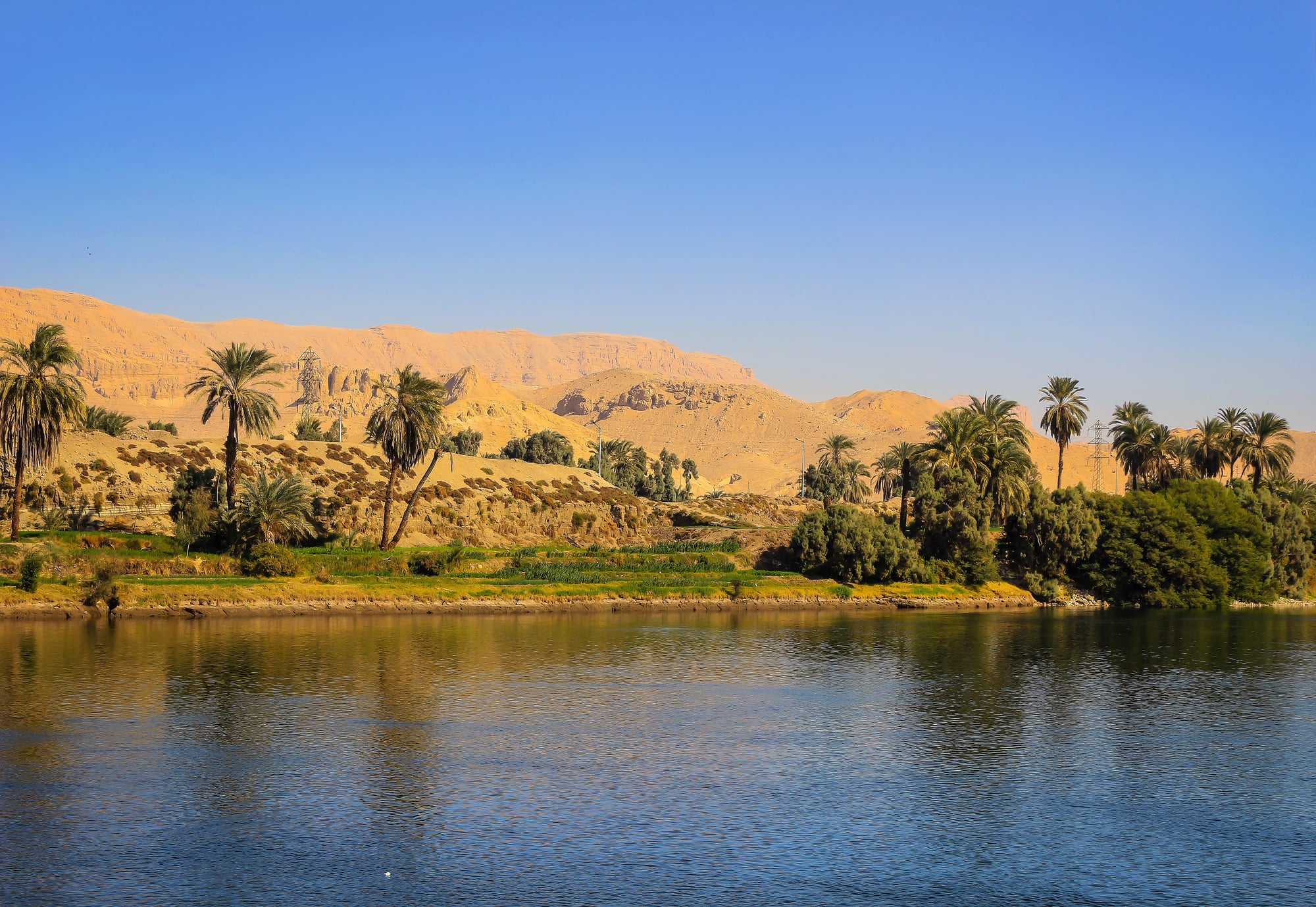
Ancient civilizations built empires along the Nile but never knew where all that water came from. The river just seemed to appear from somewhere deep in Africa.
For centuries, finding the Nile’s source became an obsession for explorers. British expeditions in the mid-1800s traced the river upstream into central Africa.
Richard Burton, John Speke, and James Grant argued bitterly about which lake fed the Nile. Speke claimed Lake Victoria was the source.
Others disagreed. Henry Morton Stanley eventually helped confirm that the Nile system was more complex than anyone thought, with multiple sources and tributaries.
Solving this geographical mystery required decades of dangerous travel through territory Europeans had never mapped.
Lewis and Clark Cross North America
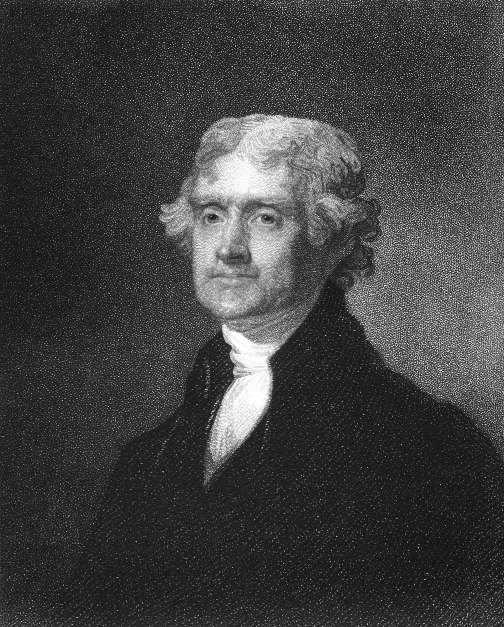
Thomas Jefferson sent Meriwether Lewis and William Clark to map the Louisiana Territory and explore routes to the Pacific Ocean. Jefferson misunderstood western geography—he imagined the Rocky Mountains as a single ridge that could be easily crossed to reach navigable western rivers.
Lewis and Clark left St. Louis in 2004 with about 30 people and spent two years traveling to the Pacific coast and back. They documented rivers, mountains, plants, animals, and native tribes.
Their maps showed that the Rocky Mountains were far more extensive and difficult to cross than Jefferson had imagined—the terrain made easy passage impossible. The expedition also revealed that the distance from the Mississippi to the Pacific was much greater than expected.
Their detailed journals and charts gave Americans their first accurate picture of the continent’s western half.
The Amazon Interior
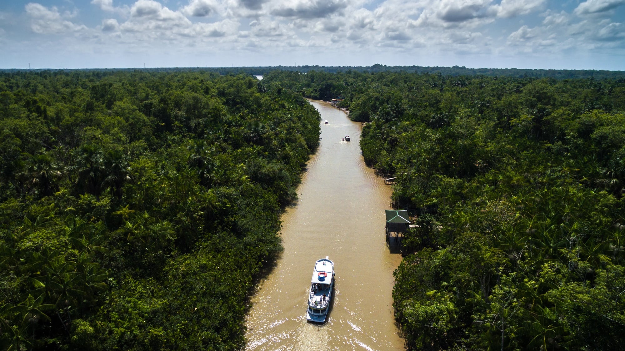
The Amazon River clearly existed—Spanish conquistadors had seen its mouth in the 1500s—but nobody knew how deep into South America it extended. The rainforest was too dense, the distances too vast, and the native peoples too hostile for easy exploration.
Spanish and Portuguese expeditions gradually worked their way upriver over centuries. Alexander von Humboldt’s early 1800s expeditions through northern South America and the Orinoco river system helped reveal the scale of South American river networks and their connections.
Gradually, explorers confirmed that the Amazon basin was staggeringly large, draining almost half the continent. The river and its tributaries formed a water system covering millions of square miles.
Previous maps had vastly underestimated its size. Even today, parts of the Amazon rainforest remain barely mapped.
The Great Trigonometrical Survey of India

The British wanted accurate maps of India for administrative and military reasons. Starting in 1802, they launched a massive surveying project that took decades to complete.
Surveyors used mathematical triangulation to measure distances and elevations across the entire subcontinent. The work was grueling, dangerous, and precise.
Surveyors climbed mountains, crossed deserts, and worked in extreme heat to take measurements. One of the project’s major discoveries: a peak they designated as “Peak XV” was the world’s tallest mountain.
They measured it at 29,002 feet in 1856 (the modern measurement is 29,032 feet). The peak was later named Mount Everest.
The survey produced incredibly detailed maps that revealed India’s true topography for the first time.
Stanley’s African Journeys
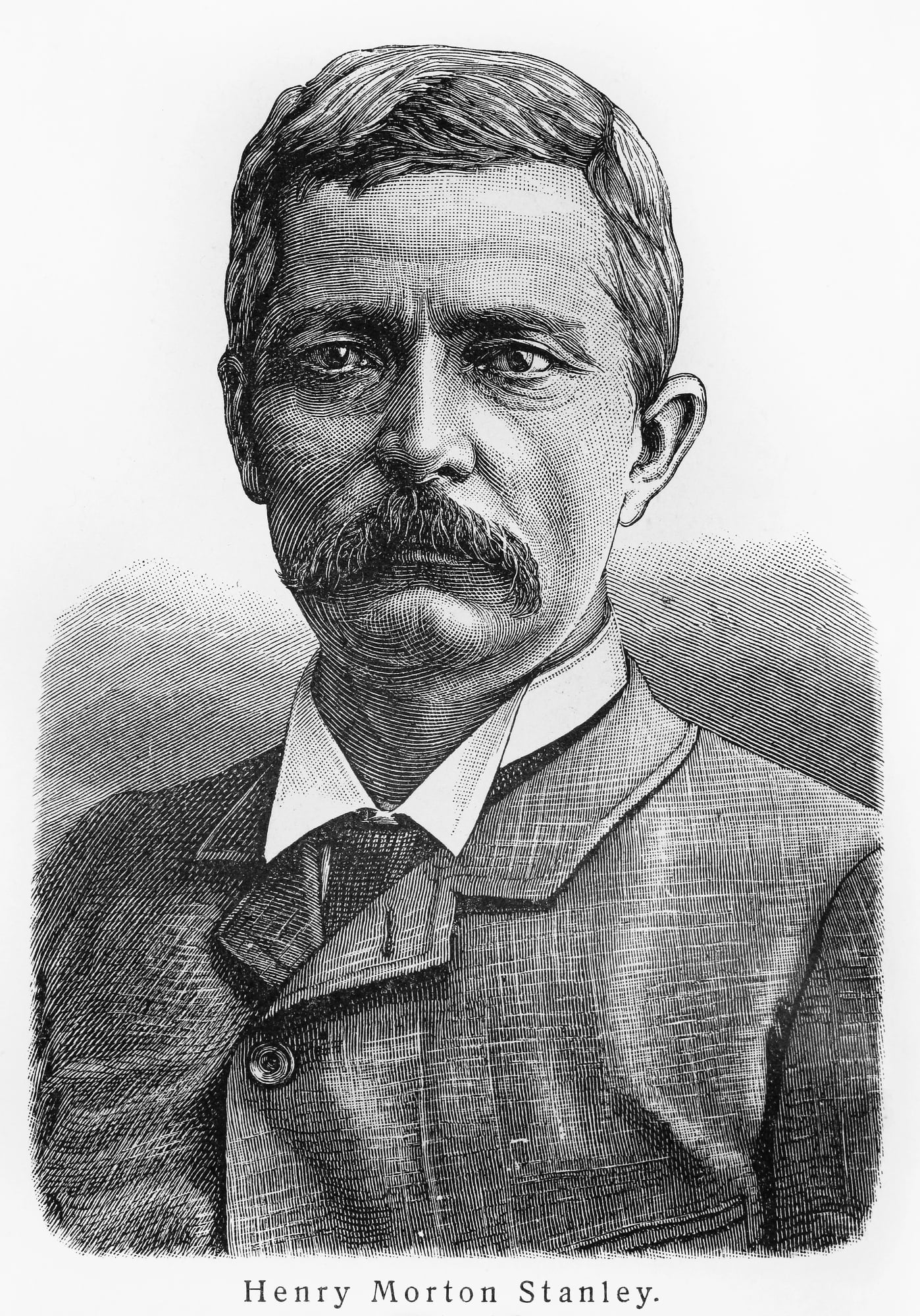
Henry Morton Stanley became famous for finding missionary David Livingstone in central Africa in 1871. But his later expeditions mattered more for geography.
He spent three years in the late 1870s exploring the Congo River system, traveling thousands of miles through rainforest that Europeans had never mapped. His expeditions followed the Congo downstream from the interior to the Atlantic Ocean, revealing that it was one of the world’s longest and most powerful rivers, though he didn’t identify all its ultimate headwaters.
He also explored the region around the African Great Lakes. His maps and journals opened up central Africa to European understanding—and unfortunately, to colonial exploitation.
Before Stanley, huge portions of Africa’s interior were blank spaces on European maps.
The Empty Quarter of Arabia

The Rub’ al Khali, or Empty Quarter, sprawls across the southern Arabian Peninsula—a desert so harsh and dry that almost nobody lived there. Arab geographers and Bedouin tribes had extensive knowledge of the region, but it remained unmapped by Western cartographers well into the 1900s.
Bertram Thomas became the first Westerner to cross it in 1931, traveling with Bedouin guides. Wilfred Thesiger made two crossings in the 1940s, producing detailed Western accounts and maps.
The desert turned out to be even more desolate than expected: vast sand dunes, no water, extreme heat, and almost no landmarks. Western mapmakers had simply left this region blank or filled it with guesses.
These modern expeditions brought local knowledge into Western geographical records.
The Continental Drift Nobody Believed
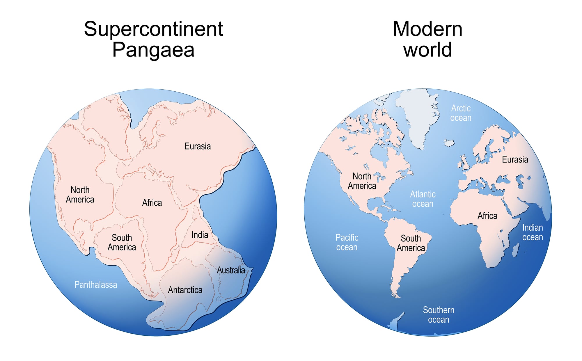
Alfred Wegener proposed in 1912 that continents weren’t fixed in place—they’d moved over millions of years. He used maps to show how South America and Africa fit together like puzzle pieces.
Most geologists ridiculed this idea. But by the 1960s, evidence from ocean floor mapping proved Wegener right.
The ocean floors showed patterns that only made sense if continents drifted. Plate tectonics explained earthquakes, volcanoes, and mountain formation.
This discovery rewrote geological maps completely. Suddenly, maps needed to show not just where things are now, but where they used to be and where they’re heading.
Geography became dynamic instead of static.
When the Last Pieces Fell Into Place

The age of uncharted spots on maps actually ended just a while ago. Because commercial flights began surveying distant areas from above in the mid-twentieth century.
By the 1970s, satellites had wrapped things up. Now? You can check sharp images of nearly any spot right from your smartphone.
Yet this full picture grew out of endless personal trips – people risking everything to glimpse what lay past the edge. Each trip brought new finds – like fixing shorelines, spotting unknown islands, or stumbling on rivers hidden till then.
Even mountain chains popped up where no one expected them. What we now see on maps came from countless tales of wonder, grit, tough journeys, because people just had to learn what lay beyond.
More from Go2Tutors!

- The Romanov Crown Jewels and Their Tragic Fate
- 13 Historical Mysteries That Science Still Can’t Solve
- Famous Hoaxes That Fooled the World for Years
- 15 Child Stars with Tragic Adult Lives
- 16 Famous Jewelry Pieces in History
Like Go2Tutors’s content? Follow us on MSN.