Islands That Vanish and Reappear on Maps
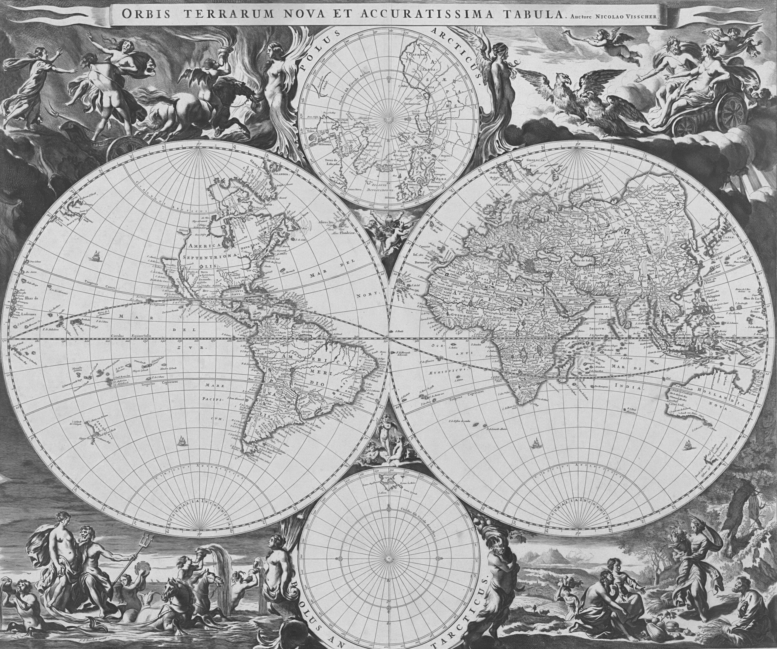
Maps feel permanent. You look at one and assume the coastlines, the mountain ranges, the tiny dots representing islands scattered across oceans, all exist exactly where they’re drawn.
But cartography has always been stranger than that. Throughout history, islands have appeared on maps for centuries, guided sailors and shaped geopolitics, and then simply ceased to exist.
Some were mistakes. Some were lies. And some remain unexplained.
The Problem with Early Navigation

Before satellites and GPS, making a map of the ocean required enormous faith in human observation. Sailors navigated by stars, used primitive compasses, and relied on dead reckoning.
If a crew spotted what looked like land on the horizon, that report often went unquestioned. A quick sketch, a compelling story, and suddenly a new island became part of official geography.
The conditions made errors almost inevitable. Fog banks could appear solid from a distance.
Icebergs drifted through shipping lanes looking very much like rocky shores. Pumice rafts, massive floating fields of volcanic rock ejected from underwater eruptions, could stretch for miles and appear genuinely island-like to tired eyes.
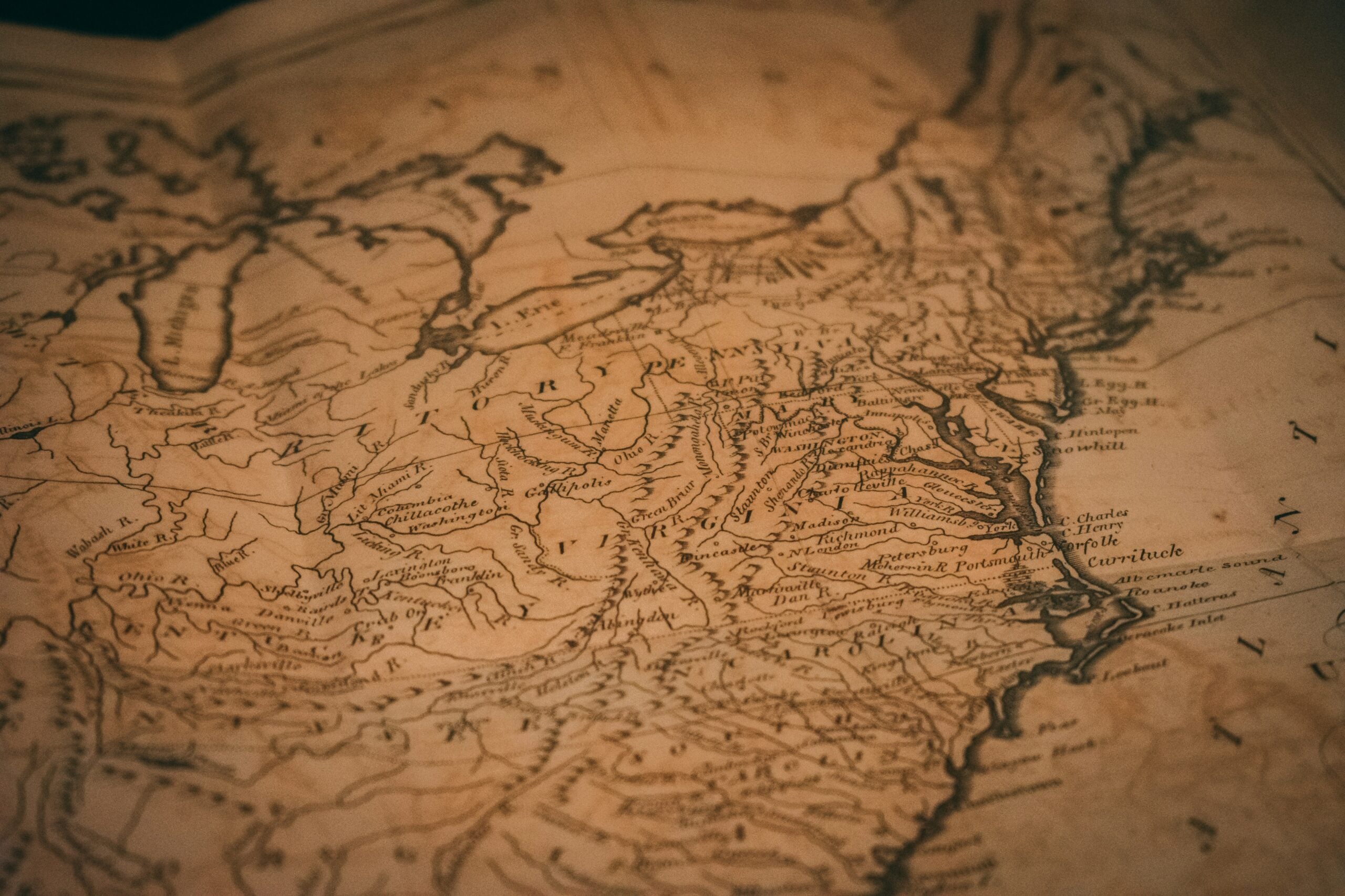
Once an island made it onto a map, it tended to stay there. Cartographers copied from one another, and errors propagated across centuries.
Hy-Brasil: The Island That Appeared Every Seven Years

West of Ireland, somewhere in the Atlantic, an island called Hy-Brasil first showed up on maps around 1325. Unlike most phantom islands, this one came with legend attached.
According to Irish folklore, Hy-Brasil was shrouded in mist and revealed itself only once every seven years. Mapmakers depicted it as circular, with a river running straight across.
Sailors claimed to have landed there. In 1674, Captain John Nisbet reported becoming stranded on Hy-Brasil with his crew.
He described a castle, an ancient gentleman who fed them lavishly, and an island teeming with large black rabbits. Whether Nisbet was lying, hallucinating, or genuinely confused about where he landed, nobody knows.
Expeditions departed from Bristol throughout the late 15th century searching for Hy-Brasil. None found it.
John Cabot, the explorer who reached North America in 1497, never spotted it either. The island appeared on maps for over 500 years before finally being removed in 1865.
The last reported sighting came in 1872.
Sandy Island: A Modern Phantom

You might assume satellite technology ended the era of phantom islands. But in 2012, Australian scientists sailing through the Coral Sea made a startling discovery.
Sandy Island, shown on Google Maps and nautical charts as a landmass roughly the size of Manhattan, didn’t exist.
The crew of the research vessel Southern Surveyor had noticed the island on their charts and decided to investigate. When they arrived at the coordinates, they found nothing but deep blue water.
Depth measurements showed the ocean floor sat more than 4,600 feet below the surface.
Sandy Island had appeared on maps since at least 1876, when a whaling ship called the Velocity reported it. The island made its way onto British Admiralty charts, world atlases, and eventually digital databases.
Even after French hydrographers removed it from their charts in 1974, it persisted elsewhere. Google Maps displayed it until late November 2012, when the “undiscovery” made headlines.
The leading theory involves pumice rafts. The Coral Sea sits along what scientists call a pumice superhighway, where floating volcanic debris frequently travels.
French sailors in 1876 may have encountered one of these rafts and mistaken it for solid land. The error then propagated through maps for 136 years.
Bermeja: The Billion-Dollar Vanishing Act

Some phantom islands carry geopolitical weight. Bermeja, a small reddish island supposedly located off the Yucatan Peninsula in the Gulf of Mexico, appeared on maps beginning in 1539.
Spanish cartographer Alonso de Chaves recorded its precise location, describing how from a distance the island looked blondish or reddish.
For centuries, nobody paid much attention to Bermeja. Then, in the late 1990s, the island became enormously important.
Mexico and the United States were negotiating boundaries in the Gulf, specifically over an area believed to contain about 22.5 billion barrels of oil. If Bermeja existed, it would extend Mexico’s maritime territory significantly, giving the country rights to those reserves.
Mexican surveys in 1997 found nothing. A more extensive study in 2009, conducted by the National Autonomous University of Mexico, also came up empty.
Not only was there no island, but scans of the seafloor showed no evidence an island had ever existed there.
This sparked conspiracy theories. Some suggested the CIA destroyed Bermeja to benefit American oil interests.
Mexican senators raised questions in 2008, citing suspicions about deliberate erasure. Others proposed that rising sea levels or underwater earthquakes had eliminated it.
The simpler explanation is that Bermeja never existed at all. Early cartographers made mistakes, and those mistakes got copied forward.
But the mystery lingers, partly because the island appeared in government inventories, not just maps.
Trap Streets and Paper Towns

Not all phantom geography results from error. Sometimes cartographers invent places deliberately.
In the 1930s, two mapmakers at the General Drafting Company, Otto Lindberg and Ernest Alpers, needed to protect their work from plagiarism. They placed a fictional hamlet called Agloe at the intersection of two dirt roads in the Catskills.
The name combined their initials. If a competitor’s map included Agloe, it would prove they had copied.
A few years later, Rand McNally published a New York map that included Agloe. When General Drafting cried plagiarism, Rand McNally’s lawyers offered a surprising defense.
They had obtained the location from county records. Someone had actually built an Agloe General Store at that intersection, having seen the name on a gas station map and assumed it was real.
The fictional town had become factual. For about forty years, Agloe existed, complete with a store, a gas station, and two houses.
When the store closed in the early 1990s, Agloe faded away again. It briefly appeared on Google Maps before being removed.
These copyright traps, sometimes called trap streets, litter the history of cartography. Publishers insert fake roads, misrepresent the curves in rivers, or invent entire villages.
The idea is that only a copyist would reproduce these errors. In 2001, the UK’s Automobile Association paid £20 million in settlement after evidence showed they had copied Ordnance Survey maps, including their fingerprints.
Thule: At the Edge of the World
Some phantom islands began as genuine mysteries. Around 325 BCE, the Greek explorer Pytheas described sailing far north to a place he called Thule.
He reported it as the northernmost land in the known world, a frozen realm near the edge of existence where the sun barely set.
For over two thousand years, scholars argued about what Pytheas had actually found. Candidates included Iceland, Norway, Greenland, and the Faroe Islands.
Some suggested Thule was entirely mythical. Renaissance cartographers placed it variously around Scandinavia and as far as Orkney.
The uncertainty around Thule reflects how phantom islands often emerge. From real but misunderstood experiences, filtered through limited geographic knowledge, then repeatedly reinterpreted as new information arrives.
The Isle of Demons
Off the coast of Newfoundland, 16th-century maps showed an island supposedly inhabited by demons and wild beasts. Ships avoided it.
Stories circulated of unearthly screaming heard from its shores.
In 1542, a French noblewoman named Marguerite de la Rocque was allegedly abandoned there as punishment for a relationship with a sailor. The story claims she survived two years among the demons before being rescued and returning to France.
Her tale appeared in literature as late as the 19th century.
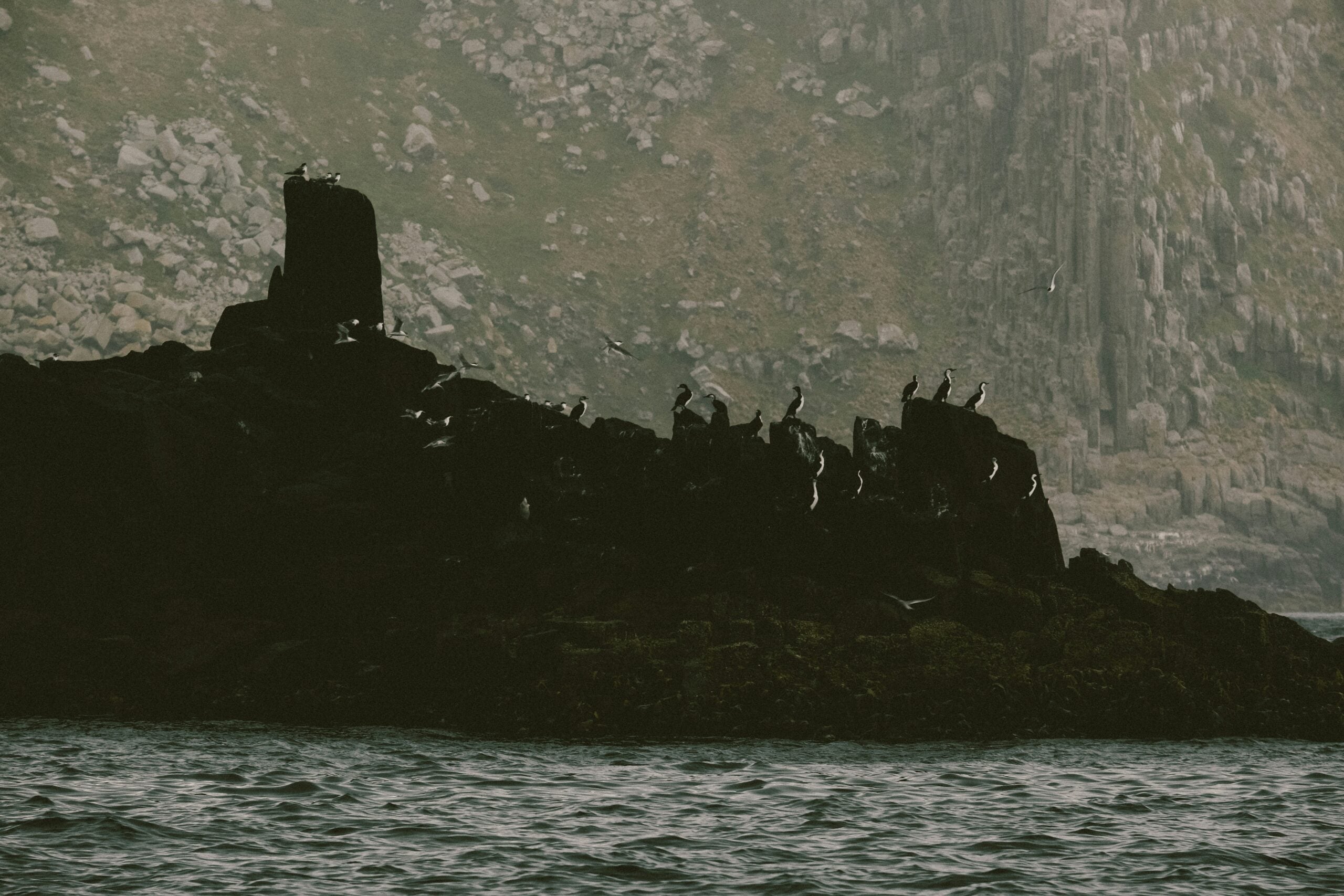
Modern historians suspect the Isle of Demons was either entirely fictional or a distorted account of Quirpon Island in the Labrador Sea. The screaming demons may have been walruses or seabirds, sounds unfamiliar and terrifying to European sailors.
Elizabeth Island: Swallowed by the Sea?
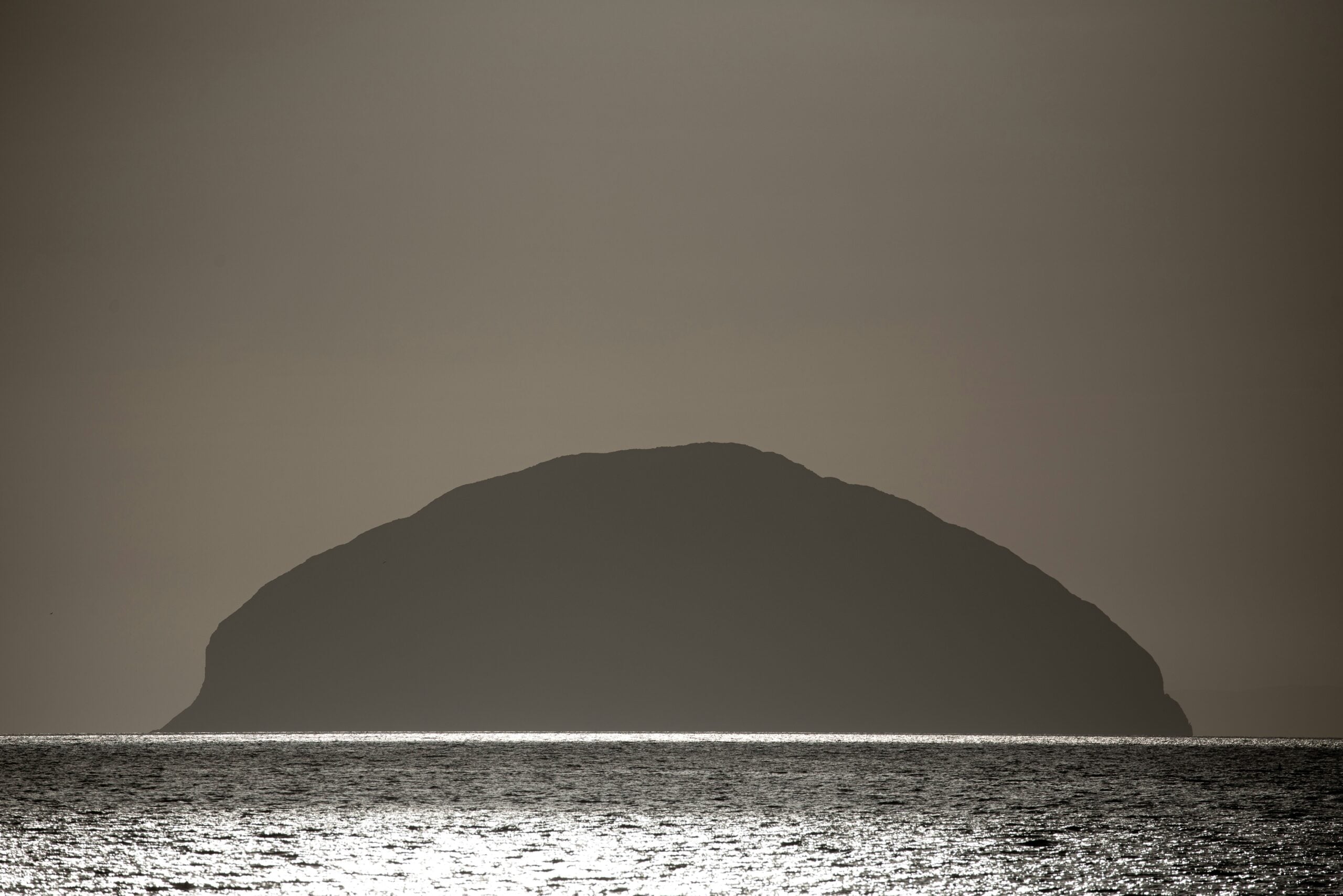
In 1578, Sir Francis Drake sought shelter from a storm on an island at 57 degrees south, in the treacherous waters near Cape Horn. He named it Elizabeth Island after his queen, claimed it for England, and noted its ample wood, freshwater, herbs, and berries.
Later explorers navigating the Strait of Magellan never found it. Marine historian Felix Reisenberg proposed in 1939 that the island had been real but was destroyed by volcanic activity.
The region is geologically active, and a volcano could have eliminated the island entirely within years of Drake’s visit.
Supporting this theory is the Pactolus Bank, an underwater formation in roughly the same location. Reisenberg suggested it represents volcanic deposits left after Elizabeth Island’s destruction.
The alternative is that Drake simply landed somewhere else and recorded the wrong coordinates.
Frisland: The Influential Fake

Frisland appeared on maps of the North Atlantic from the 1550s through the 1660s, depicted as a substantial island south of Iceland. It originated from a map published in 1558 based on supposed voyages by the Zeno brothers, Venetian sailors who claimed to have explored the region in the 1390s.
The Zeno map was almost certainly a fraud. A historian named Frederick Lucas dismantled it in 1898, calling the account “reduced to shreds” by historical and geographical facts.
But before its debunking, Frisland had influenced major cartographers including Gerardus Mercator, the creator of the Mercator projection. It persisted on maps for over a century, confusing navigation in the North Atlantic.
Antillia: The Land of Seven Cities

Before Columbus crossed the Atlantic, maps showed an island called Antillia west of Portugal. Legend holds that during the Muslim conquest of Iberia in 714, seven Christian bishops fled westward and founded seven cities of gold on this island paradise.
Antillia appeared on maps starting in 1424, often depicted as a large rectangular landmass. After Columbus reached the Americas, Antillia vanished from newer maps.
Historians believe early cartographers may have been depicting Cuba or other Caribbean islands based on garbled reports. Then attached the legend of the seven bishops to explain what they thought they were mapping.
Islands Actually Disappearing

While many phantom islands never existed, some real islands are genuinely vanishing. In the Solomon Islands, between 1947 and 2014, six islands disappeared beneath rising seas.
Another six shrank by 20 to 62 percent.
Tuvalu, Kiribati, and the Marshall Islands face existential threats from sea level rise. NASA analysis shows Pacific Island nations will experience at least six inches of sea level rise over the next thirty years regardless of emissions changes.
For islands that sit only a few feet above water, this represents not phantom cartography but real erasure.
The difference matters. Phantom islands reflect the limits of human perception and the tendency of errors to compound.
Disappearing islands reflect the consequences of human activity on a planetary scale.
When Fiction Becomes Fact
The story of Agloe, where a copyright trap became a real town, hints at something deeper about maps and reality. Maps don’t just describe the world.
They shape how people understand and interact with it. If a map says a place exists, someone may go looking for it.
If they arrive and find nothing, they might build something.
Contemporary artists have begun exploring this phenomenon. The sound artist Andrew Pekler created a digital atlas of historic phantom islands, complete with imagined soundscapes.
The Polish conceptual artist Agnieszka Kurant made a map composed entirely of phantom islands. These projects treat cartographic ghosts not as errors to be corrected but as windows into how humans construct meaning from geography.
The Persistence of Mystery

Modern satellite technology has illuminated most cartographic shadows. Yet phantom islands continue to fascinate precisely because they remind you that certainty is harder to achieve than maps suggest.
Bermeja may have been a 500-year-old copying error with billion-dollar consequences. Hy-Brasil may have been fog and folklore tangled together until they looked like land.
Sandy Island may have been pumice, drifting through the Coral Sea and fooling everyone from 19th-century whalers to 21st-century software engineers.
Or maybe not. The ocean remains vast, and the record of exploration remains incomplete.
Somewhere out there, in the spaces between satellite passes and the depths below sonar, questions linger. Maps feel permanent.
But they never tell the whole story.
More from Go2Tutors!

- The Romanov Crown Jewels and Their Tragic Fate
- 13 Historical Mysteries That Science Still Can’t Solve
- Famous Hoaxes That Fooled the World for Years
- 15 Child Stars with Tragic Adult Lives
- 16 Famous Jewelry Pieces in History
Like Go2Tutors’s content? Follow us on MSN.