26 Historical Maps That Show Borders Nobody Recognizes Today
Maps claim to show us objective reality—nations defined by geography, borders drawn by nature. Yet historical maps reveal the opposite: borders are human inventions, constantly redrawn by conquest, negotiation, and the shifting fortunes of power.
A map made 150 years ago shows a world that no longer exists. Nations have vanished, disappeared, merged, or split.
The most astonishing aspect is how completely we forget these old borders ever existed. These historical maps show borders that were once absolute, that defined people’s entire sense of identity and belonging, yet today appear on no modern map.
The Ottoman Empire: An Extinguished Continental Power
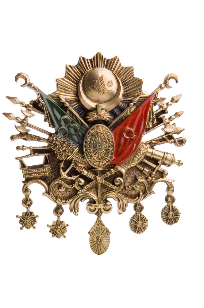
Nineteenth-century maps showed the Ottoman Empire spanning three continents, controlling vast territories from the Mediterranean to Mesopotamia. Today’s maps show only Turkey and fragments of former Ottoman lands under different nations’ control.
The empire that once seemed eternal simply ceased to exist.
The Russian Empire’s Western Border: Before Soviet Expansion
Maps from the early twentieth century show the Russian Empire’s borders vastly different from today. Poland, the Baltic states, and parts of Eastern Europe existed as distinct nations before Soviet expansion redrew these maps.
Greater Germany: Dreams of Unification
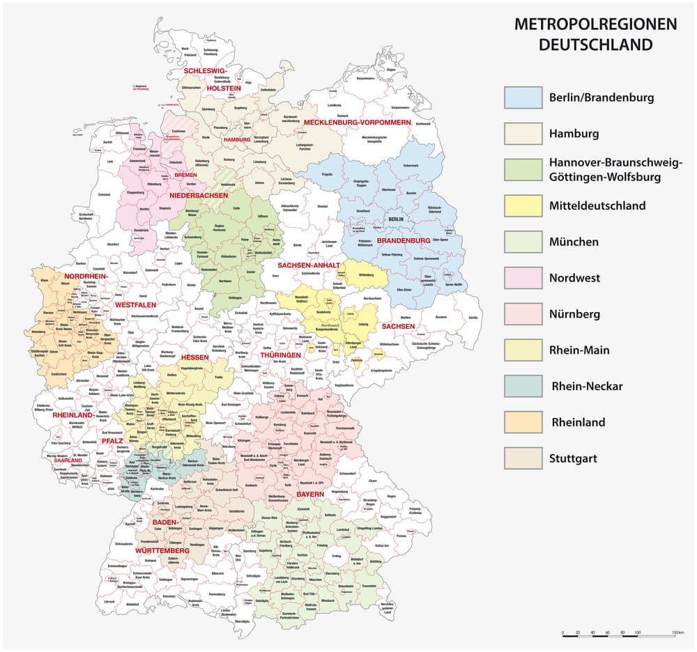
Maps from the nineteenth century show “Greater German” visions where German-speaking territories would have created a vastly larger nation than what emerged in 1871. These imagined borders never came to be, yet they influenced historical actors’ decisions.
Austria-Hungary: A Multi-Ethnic Empire Erased
Detailed maps of Austria-Hungary show a complex patchwork of different ethnic and linguistic regions under one crown. The empire’s dissolution after World War I fragmented this unity into the modern nations of Austria, Hungary, Czech Republic, and Slovenia.
British India: A Vast Colonial Possession
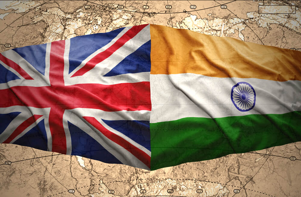
Maps of British India show a massive subcontinental territory under British rule. Partition in 1947 created India, Pakistan (later splitting into Pakistan and Bangladesh), and Ceylon (now Sri Lanka), forever changing the political map of South Asia.
The Italian Colonies: Empire Fragments
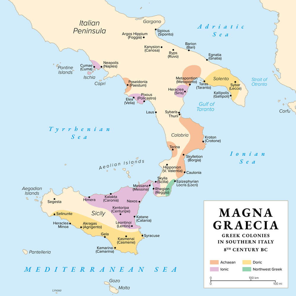
Early twentieth-century maps show Italy as a major colonial power controlling territories in Libya, Ethiopia, Somalia, and beyond. Colonial decolonization eliminated this empire, yet its legacy borders remain contested.
The French African Colonies: Vast Continental Holdings

Maps showing French West Africa and French Equatorial Africa as unified administrative regions reveal territories that subsequently split into dozens of independent nations following decolonization.
Yugoslavia: A Unified State That Exploded Into Pieces
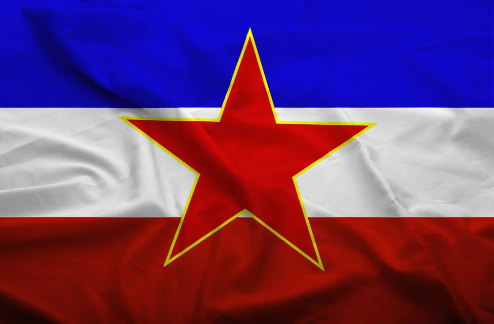
Maps from the 1950s-1980s show Yugoslavia as a cohesive nation-state. The 1990s dissolution created independent Serbia, Croatia, Bosnia, Slovenia, Macedonia, Montenegro, and Kosovo—a transformation so complete that young people rarely remember Yugoslavia’s existence.
Czechoslovakia: Twin Nations Before Divorce
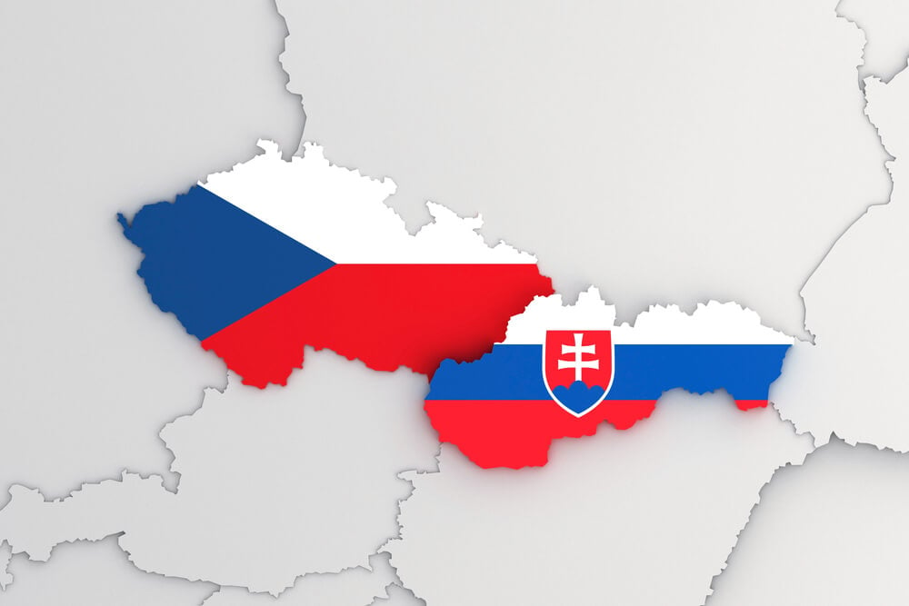
Maps showed Czechoslovakia as a unified nation for most of the twentieth century. The 1993 Velvet Divorce created the Czech Republic and Slovakia, peaceful separation yet a fundamental redrawing of central European politics.
Korea: Divided by War, Never Reunified
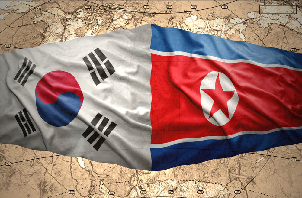
Maps before 1945 show Korea as a unified peninsula. Post-World War II division created North and South Korea—a partition intended as temporary that hardened into permanent separation for over 70 years.
East and West Germany: A Divided Nation Reunified
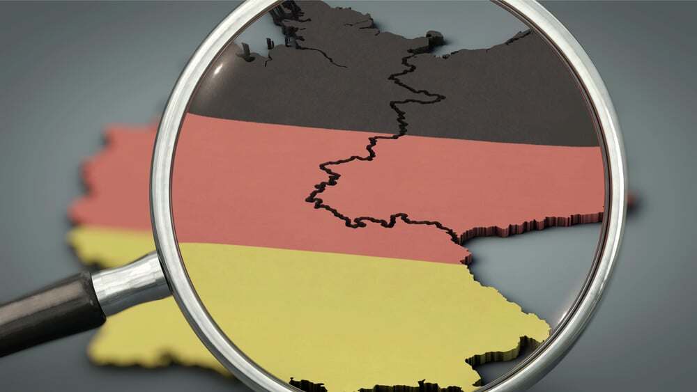
Cold War maps showed Germany split into two antagonistic nations. Reunification in 1990 made these maps obsolete, yet they defined nearly half a century of international relations and military standoff.
Poland’s Shifting Borders: Eastern and Western Wandering
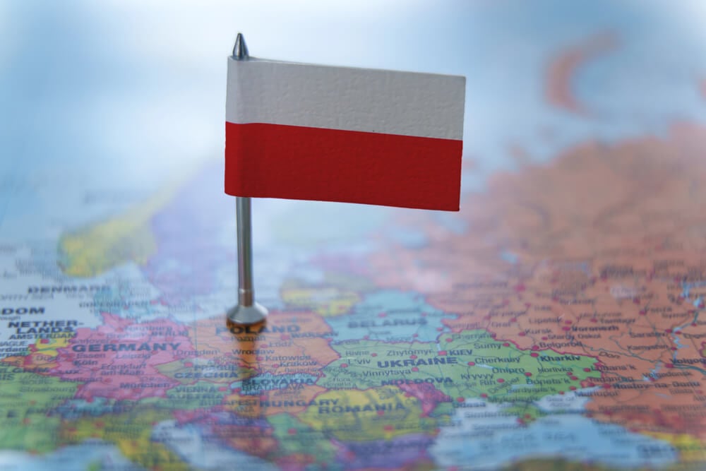
Maps through history show Poland’s borders shifting dramatically, with the nation expanding eastward then contracting westward as empires rose and fell. The Poland of today occupies different territory than the Poland of 1920, which differed from Poland in 1800.
The New York Purchase: Borders of Early America
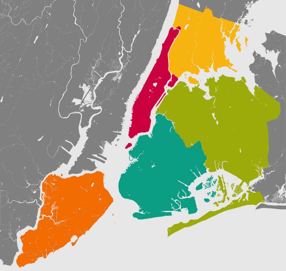
Historical maps show the borders of the original thirteen colonies, then the borders resulting from individual state creation, vastly different from today’s United States political geography.
The Oregon Territory: Boundary Disputes Settled
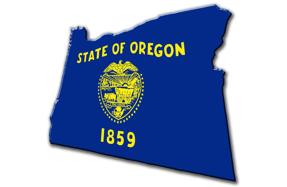
Nineteenth-century maps show the Oregon Territory as a disputed region claimed by both the U.S. and Britain. Treaties redrew these borders, creating the modern U.S.-Canada boundary in the northwest.
The Spanish Empire: Global Dominion Dissolved
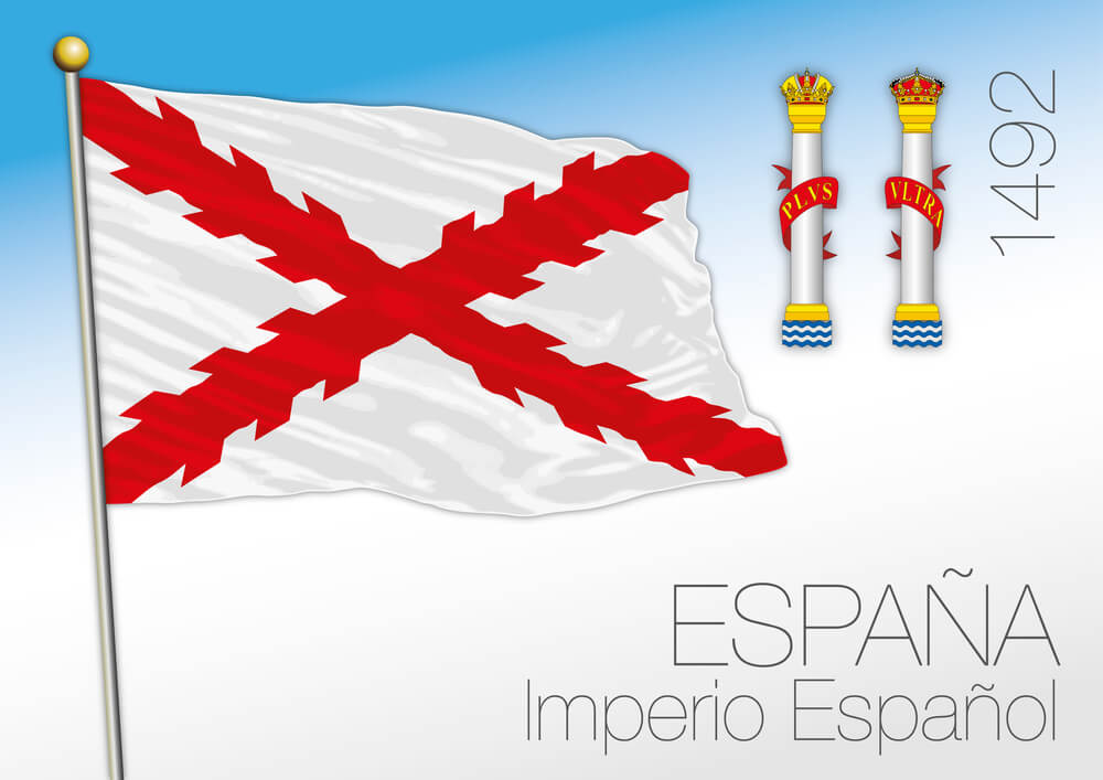
Maps from the sixteenth to eighteenth centuries show Spain controlling vast territories across Europe, the Americas, and Asia. Gradual colonization and independence movements reduced this empire to a small European nation.
The Dutch East Indies: Colonial Possession Becoming Indonesia
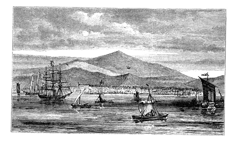
Maps showing the Dutch East Indies as a unified colonial territory reveal that this region subsequently became Indonesia, a nation containing hundreds of ethnic groups and languages now unified politically if not culturally.
The Belgian Congo: Vast Colonial Holding Now Three Nations
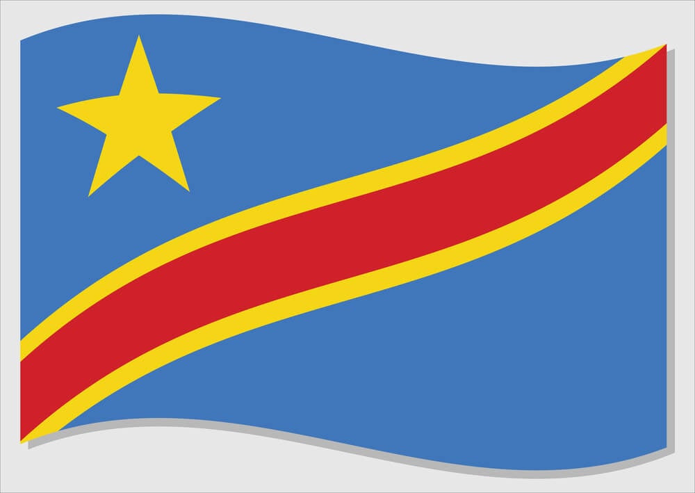
Maps of the enormous Belgian Congo showed a single colonial possession that subsequently fragmented into the Democratic Republic of Congo and the Republic of Congo (split by the Congo River). Angola was a separate Portuguese colony, not part of Belgian Congo territory.
Northern India: The Punjab’s Partition
Maps before 1947 show Punjab as a unified region with its own identity. Partition split it into Indian Punjab and Pakistani Punjab, creating one of the twentieth century’s most violent border changes.
Palestine: Changing Borders and Disappearing Boundaries
Historical maps show Palestine’s borders shifting through Ottoman, British, and now Israeli and Palestinian administration. Modern maps show Palestinian territories fragmented and non-contiguous, vastly different from any historical unified Palestine.
The Holy Roman Empire: A Medieval Patchwork Vanished
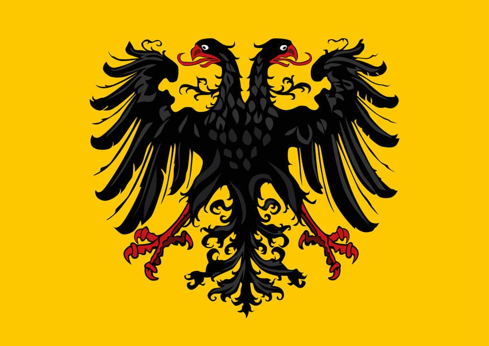
Maps of the Holy Roman Empire show a complex territorial arrangement that bore little resemblance to modern national borders. The empire’s dissolution fundamentally reorganized European political geography.
Irish Independence: Border Creation Dividing an Island
Maps before 1921 show Ireland as a unified island. The Irish War of Independence created a border splitting the island into the Irish Free State and Northern Ireland (remaining part of the UK), a division that persists.
The Philippines: Colonial Possession Boundaries Becoming National Borders
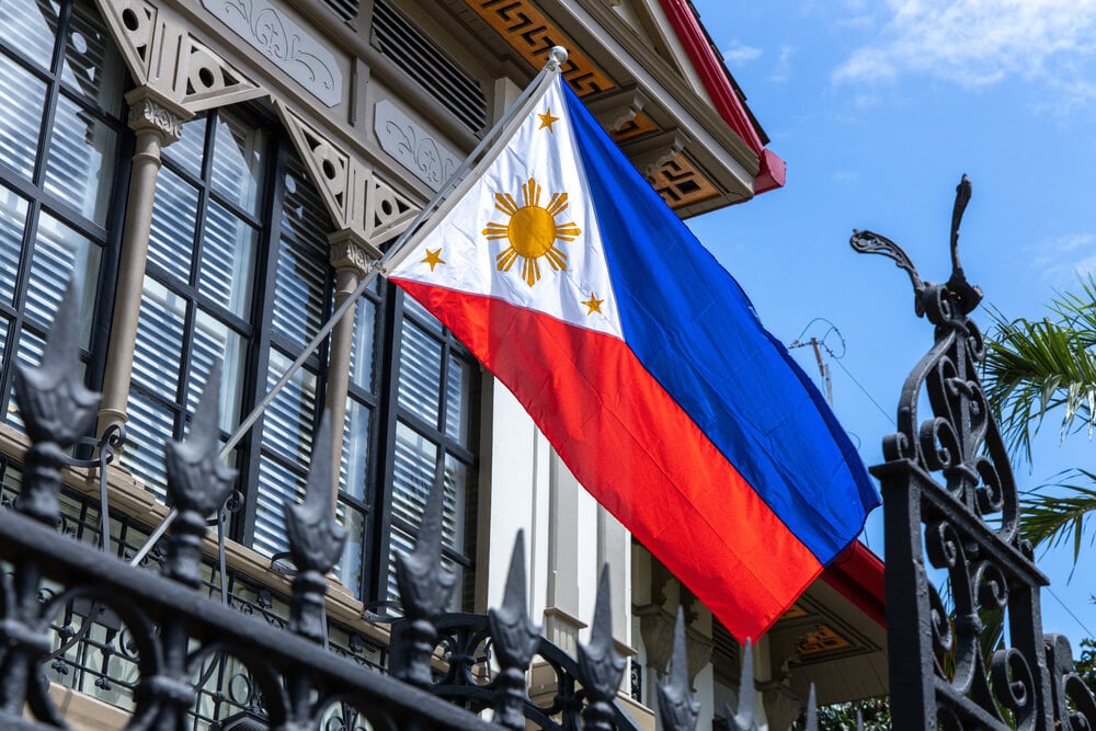
Maps under Spanish and American colonization show colonial administrative boundaries that were adopted as the borders of the independent Philippine Republic—borders that have caused ongoing disputes with neighboring nations.
Sudan and South Sudan: Recent African Border Creation
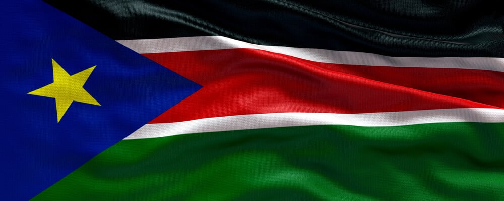
Maps before 2011 show Sudan as a unified nation. Secession created South Sudan, splitting East Africa’s largest nation in two and creating ongoing border disputes.
The Soviet Union: A Continental Empire Dissolved
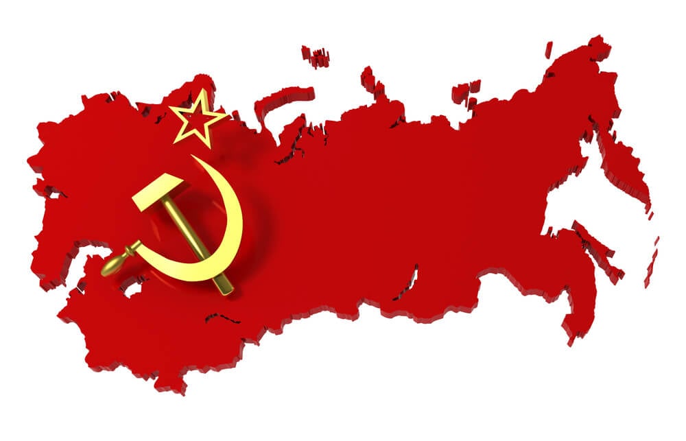
Maps through the Cold War show the Soviet Union as a monolithic superpower. Its 1991 dissolution created 15 independent nations, some developing conflicted relationships with Russia.
The Austro-Hungarian Empire’s Successor States
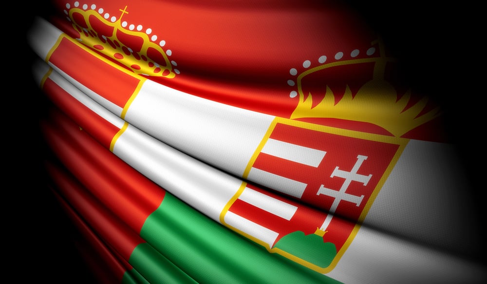
Detailed ethnic maps of Austria-Hungary show the patchwork that became multiple modern nations: Austria, Hungary, Czechoslovakia, Romania, and Yugoslavia all derived from this former empire’s territory.
The League of Nations Mandates: Colonial Borders Made Official
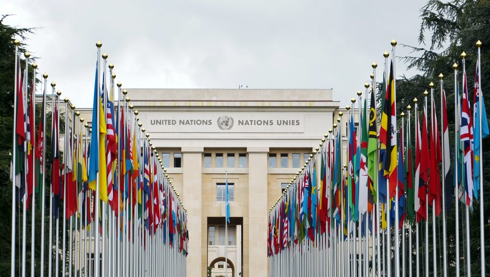
Maps showing League of Nations mandates after World War I reveal how colonialism persisted through international administration. These mandates eventually became independent nations with borders fixed by colonial powers.
Maps and the Fiction of Permanence
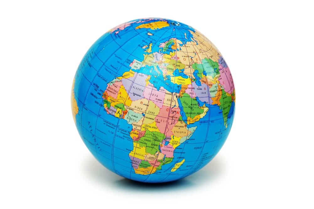
Historical maps remind us that borders are ephemeral political constructs, not eternal geographic facts. They shift with wars, treaties, and political change.
The borders we consider permanent today may vanish from future maps as readily as Yugoslavia and the Soviet Union vanished from ours. Maps document not reality but the temporary arrangements of power.
More from Go2Tutors!

- The Romanov Crown Jewels and Their Tragic Fate
- 13 Historical Mysteries That Science Still Can’t Solve
- Famous Hoaxes That Fooled the World for Years
- 15 Child Stars with Tragic Adult Lives
- 16 Famous Jewelry Pieces in History
Like Go2Tutors’s content? Follow us on MSN.