27 Historic Maps That Showed Places That Did Not Exist
Cartography has always been part science and part storytelling, and for centuries mapmakers filled in unexplored corners of the world with land that turned out to be nothing more than fog banks, icebergs, misidentified clouds, or outright invention borrowed from earlier, equally mistaken charts. Some of these phantom places lingered on official maps for hundreds of years, copied from one edition to the next without anyone checking.
The persistence of these places says as much about how mapmaking worked, largely by copying trusted predecessors, as it does about the oceans themselves.
California as an Island

European maps throughout the 17th and much of the 18th century depicted California as a large island separated from the North American mainland by a wide strait, an error traced to a misinterpreted early Spanish expedition report. The mistake proved remarkably durable, appearing on maps published by respected cartographers for more than 150 years before accurate surveys corrected it.
Terra Australis
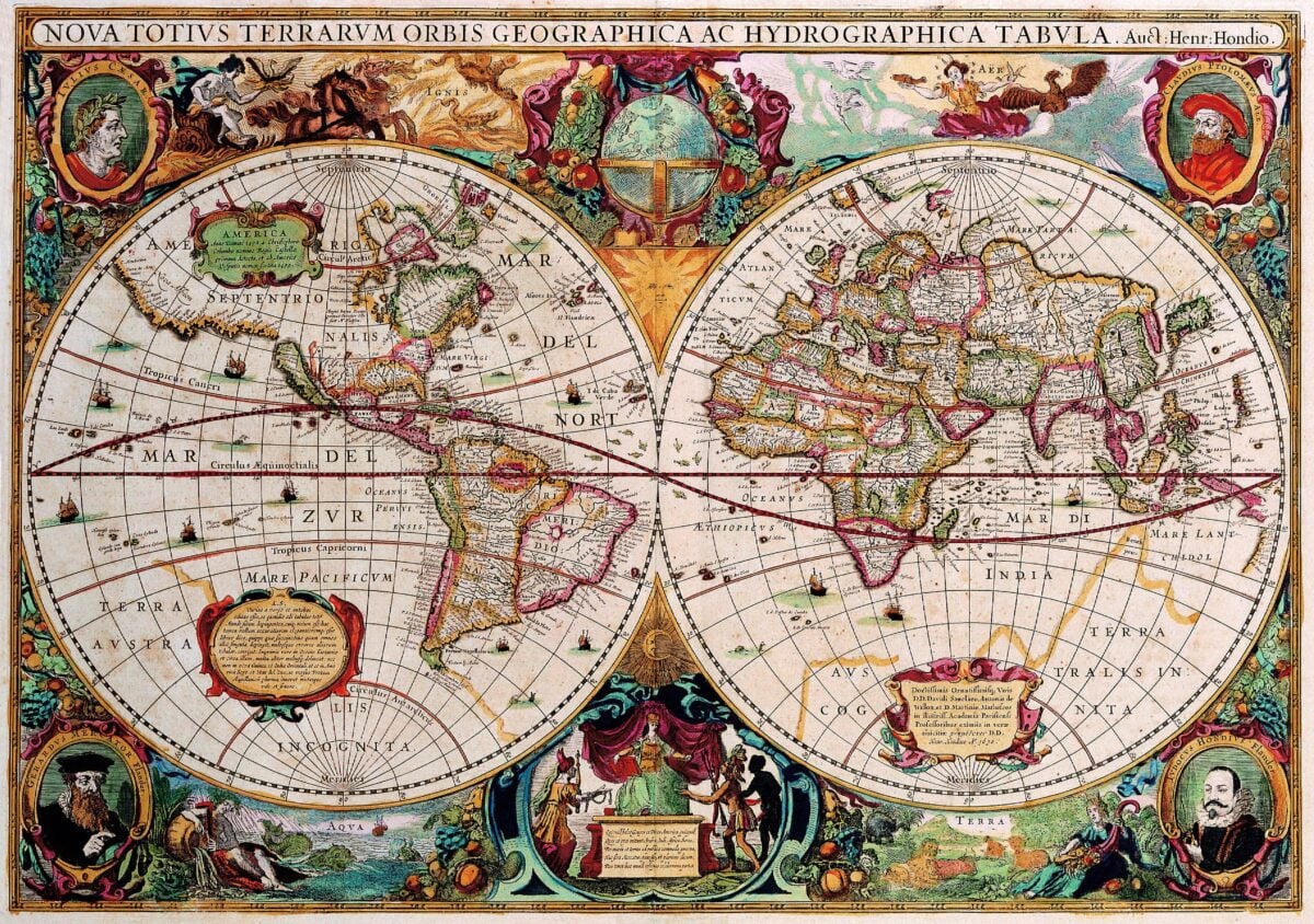
Ancient and medieval geographers theorized that a massive southern continent must exist to balance the landmasses of the Northern Hemisphere, and mapmakers drew Terra Australis sprawling across the bottom of world maps for centuries before anyone had sailed far enough south to check. The real, much smaller continent of Antarctica was not confirmed until the early 19th century, long after generations of maps had already guessed at something far larger.
Hy-Brasil
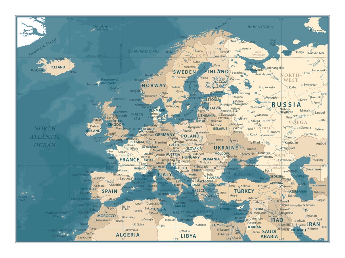
A phantom island appeared southwest of Ireland on European maps from the 14th century through the 19th, usually drawn as a perfect circle and named Hy-Brasil, tied to Irish legends of a mist-shrouded land visible only once every several years. Expeditions were reportedly launched to find it as late as the 1670s, and it continued appearing on maps even after those voyages failed to locate anything.
Antillia, the Isle of Seven Cities
Portuguese and Spanish maps from the 15th century depicted Antillia, a large island in the Atlantic supposedly settled by Christian refugees who founded seven golden cities after fleeing an invasion. The legend influenced early Atlantic exploration, and the island appeared on charts for roughly a century before explorers crossing the Atlantic confirmed no such place existed.
St. Brendan’s Isle
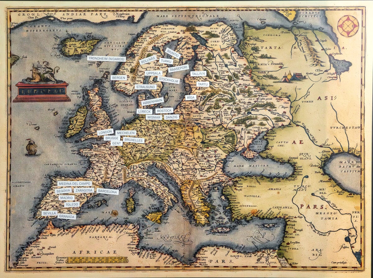
Named for a 6th-century Irish monk said to have discovered a paradise island during a legendary sea voyage, St. Brendan’s Isle appeared on European maps for hundreds of years, often placed somewhere in the vicinity of the Canary Islands. Various expeditions searched for it into the 18th century before it was finally dropped from official charts.
Frisland
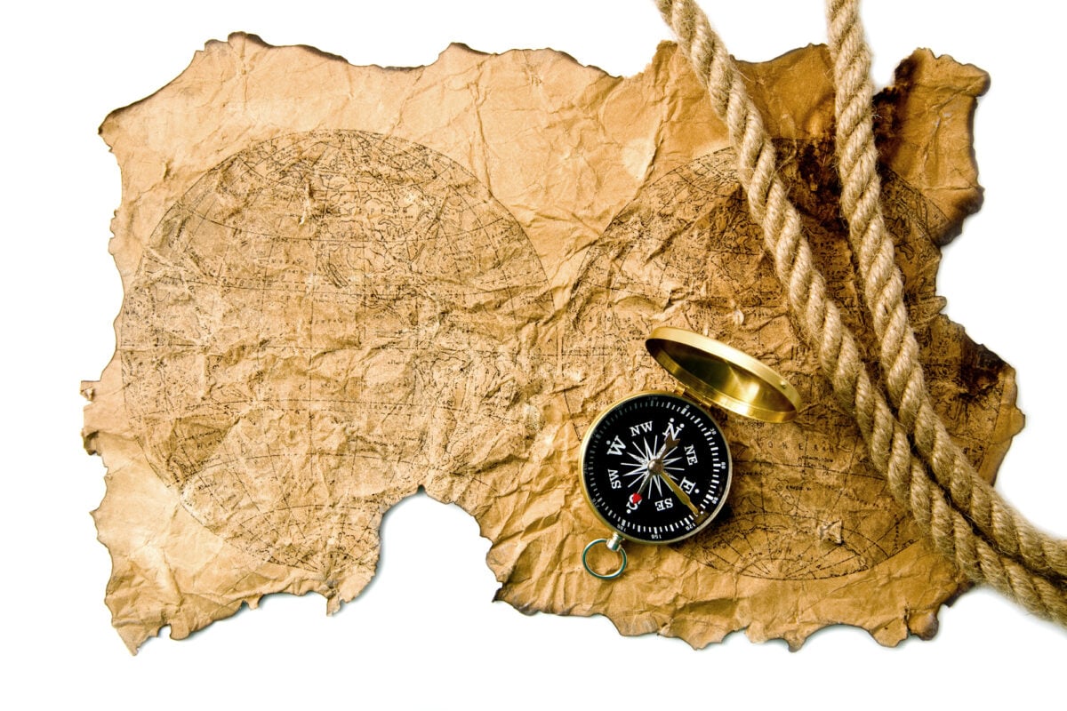
A large island appeared south of Iceland on European maps starting in the late 16th century, based on a widely circulated but likely fabricated Venetian account of Atlantic exploration. Frisland was copied onto respected maps by prominent cartographers including Gerardus Mercator, and it persisted in various forms for roughly a century before being quietly dropped.
Buss Island

English explorer Martin Frobisher’s expedition reported sighting a large island in the North Atlantic in 1578, which was subsequently named Buss Island and added to nautical charts. Later ships searched for it repeatedly without success, and it is now generally believed to have been a mistaken sighting of fog or icebergs, though it remained on some maps into the 19th century.
Sandy Island in the Coral Sea
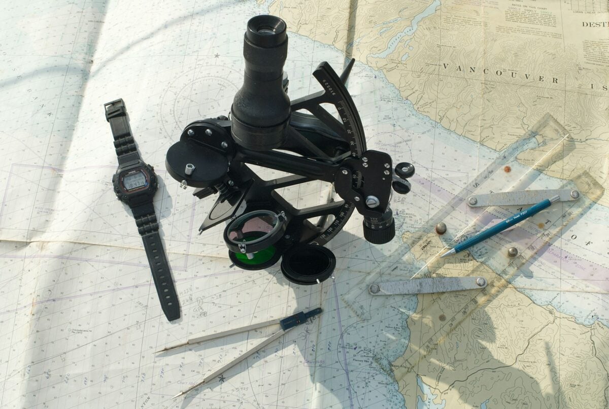
A relatively recent addition to the phantom island list, Sandy Island appeared on marine charts and even Google Maps in the Coral Sea between Australia and New Caledonia for years. An Australian research vessel sailed to the charted coordinates in 2012 and found open ocean over 1,300 meters deep, leading to its formal removal from hydrographic charts.
Bermeja

Spanish maps from the 16th century onward showed a small island called Bermeja off the coast of the Yucatán Peninsula in the Gulf of Mexico, and it continued appearing on Mexican government maps into the 20th century. Modern surveys, including a dedicated search in 2009, failed to locate the island, and its disappearance has taken on political significance because its presence would have expanded Mexico’s claimed maritime territory.
The Isle of Demons

French and other European maps of the 16th century marked an island near Newfoundland as the Isle of Demons, supposedly inhabited by evil spirits whose cries sailors reported hearing from offshore. The legend was tied to accounts of colonists who were reportedly marooned there, and the island persisted on charts for decades before fading from use.
Thule
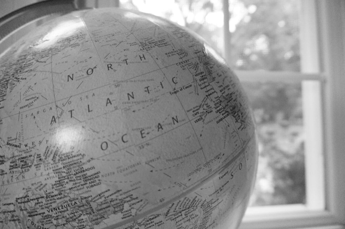
Ancient Greek and Roman geographers referred to Thule as the northernmost habitable land known to the classical world, a place mapmakers continued to place vaguely somewhere in the North Atlantic for well over a thousand years without ever pinning down a specific location. Various later scholars proposed it corresponded to Norway, Iceland, or the Shetland Islands, but as originally drawn, it functioned as a placeholder for land no one had actually confirmed.
The Mountains of Kong
European maps of Africa from the late 18th century through much of the 19th depicted a vast mountain range called the Mountains of Kong stretching across West Africa, based on a single explorer’s account. The range was copied onto maps by numerous cartographers for roughly a century before later expeditions found no such mountains existed, and it was finally removed from official charts around 1890.
Crocker Land

American explorer Robert Peary reported sighting a landmass in the Arctic in 1906 and named it Crocker Land after one of his expedition’s financial backers. A dedicated four-year expedition set out to find it starting in 1913, only to conclude that Peary had mistaken an optical mirage, common in polar regions, for solid land.
Rupes Nigra
Medieval European maps depicted a massive black rock called Rupes Nigra sitting directly at the North Pole, believed to be the source of the compass’s magnetic pull and surrounded by a whirlpool that drew the sea into the earth. The idea persisted on maps for centuries as a serious geographic theory before more accurate understanding of magnetism replaced it.
Groclant
Appearing on several 16th and 17th century maps near Greenland and Iceland, Groclant was likely the product of confused or duplicated reports about the same real landmasses, effectively creating a phantom double of an already-known island. Cartographers copied it from one map to another for decades before recognizing the duplication.
Pepys Island
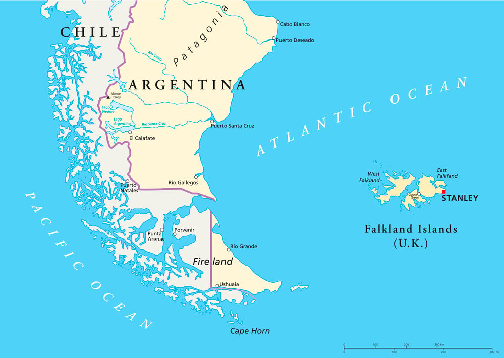
British privateer William Dampier reported an island in the South Atlantic in 1683, which was named Pepys Island after the diarist and naval official Samuel Pepys and subsequently searched for by several expeditions. It is now generally believed the sighting was simply a mistaken observation of the Falkland Islands, already known but not yet accurately charted at the time.
Mayda
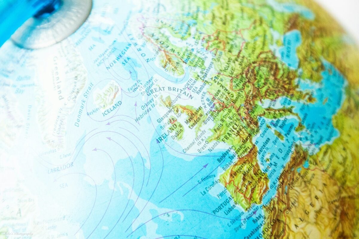
A crescent-shaped island appeared on European maps in the North Atlantic near Nova Scotia as early as the 14th century, persisting under various names including Mayda for over 500 years despite no expedition ever confirming its existence. It remained on some published maps into the early 20th century before finally being dropped.
The Kingdom of Ophir on Colonial Maps
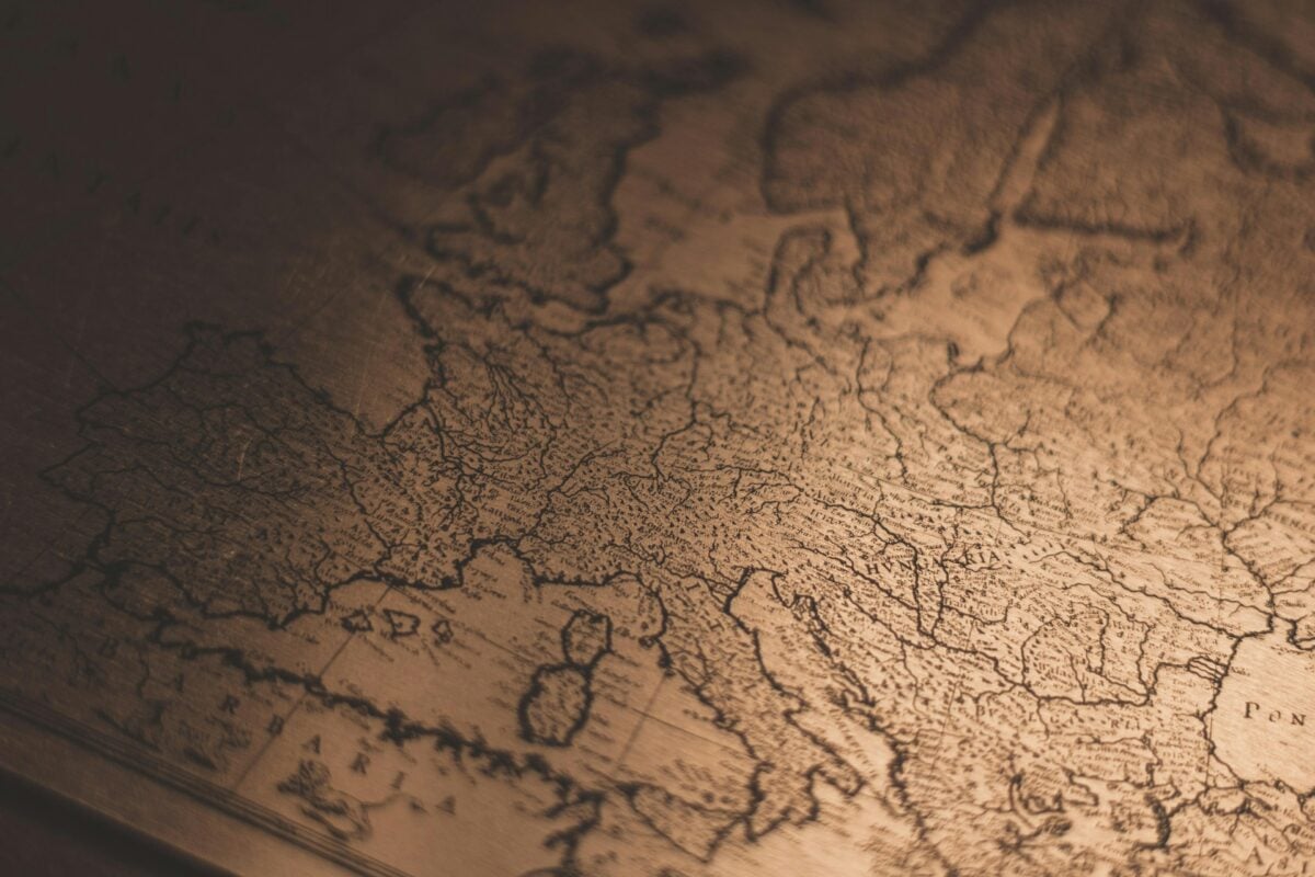
Spanish and Portuguese cartographers of the 16th century occasionally marked the biblical land of Ophir, source of King Solomon’s gold, at various speculative locations in South America or Southeast Asia, blending scripture with contemporary geography. The identification shifted depending on the mapmaker and had no basis in confirmed exploration.
Dougherty Island
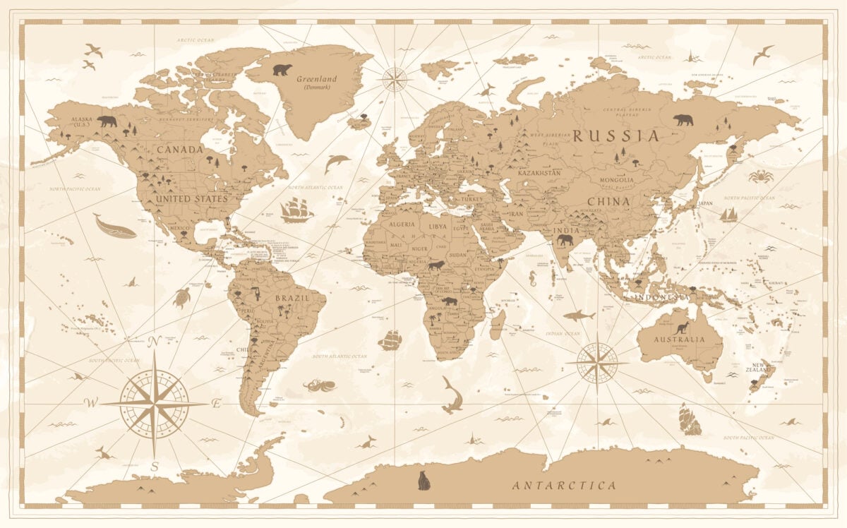
A sealing ship captain reported an island in the South Pacific in 1841, and Dougherty Island subsequently appeared on charts of the region for decades. Later Antarctic and oceanographic expeditions searched the reported coordinates repeatedly without finding land, and it is now believed the original sighting was likely an iceberg.
Emerald Island
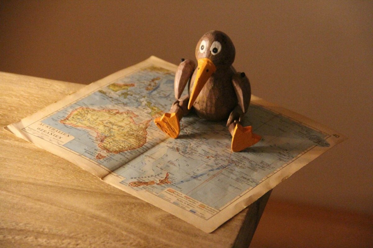
Charted in the Southern Ocean south of New Zealand starting in the 1820s based on a sealing captain’s report, Emerald Island appeared on maps well into the 20th century. A dedicated search by a New Zealand naval vessel in 1980 found no trace of it, and oceanographers now attribute the original sighting to an iceberg or navigational error.
Los Jardines
Early Spanish Pacific charts included a group of islands called Los Jardines, supposedly encountered during 16th century voyages across the Pacific, though their exact position varied wildly between different maps. No corresponding islands were ever definitively identified, and the group is now considered likely the result of navigational miscalculation.
New South Greenland
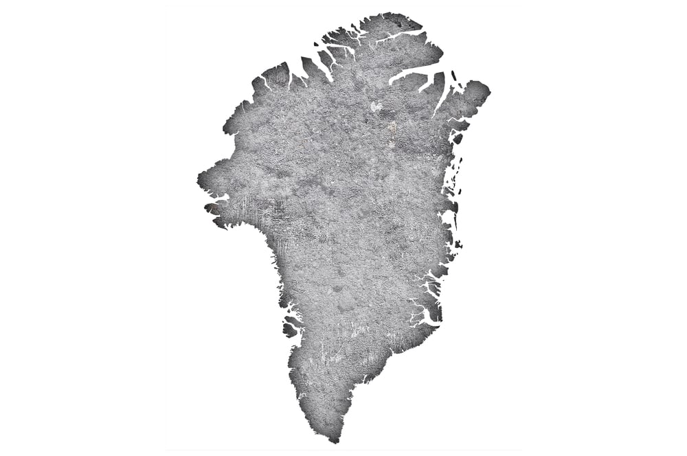
American sealing captain Benjamin Morrell reported discovering a substantial landmass in the Antarctic region in 1823, naming it New South Greenland and describing it in detail in his published journals. Later Antarctic expeditions found nothing at the reported location, and historians now widely suspect Morrell fabricated or grossly exaggerated the sighting.
Isla Grande
An island appeared on South Atlantic charts near the Falkland Islands for decades under the name Isla Grande, likely originating from an early, imprecise survey that duplicated part of the Falklands themselves on the map. It was eventually recognized as a charting error and removed from later editions.
Saxenburgh Island
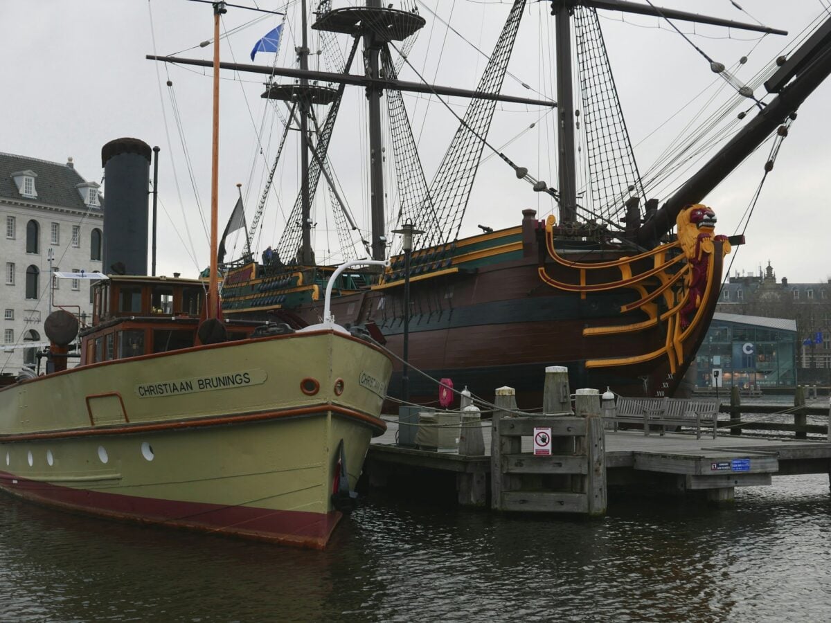
A Dutch ship reported sighting an island in the South Atlantic in 1670, and Saxenburgh Island subsequently appeared on maps of the region for well over a century. Repeated searches by later expeditions, including a dedicated 18th century voyage specifically sent to locate it, found nothing, and it was eventually dropped from official charts.
Aurora Islands
Spanish ships reported sighting a small group of islands in the South Atlantic in the 1760s, and the Aurora Islands appeared on maps for decades afterward, with several later expeditions claiming to confirm the sighting. A thorough search by a British survey ship in 1856 found no such islands, and they are now believed to have been an extended chain of icebergs.
Sannikov Land
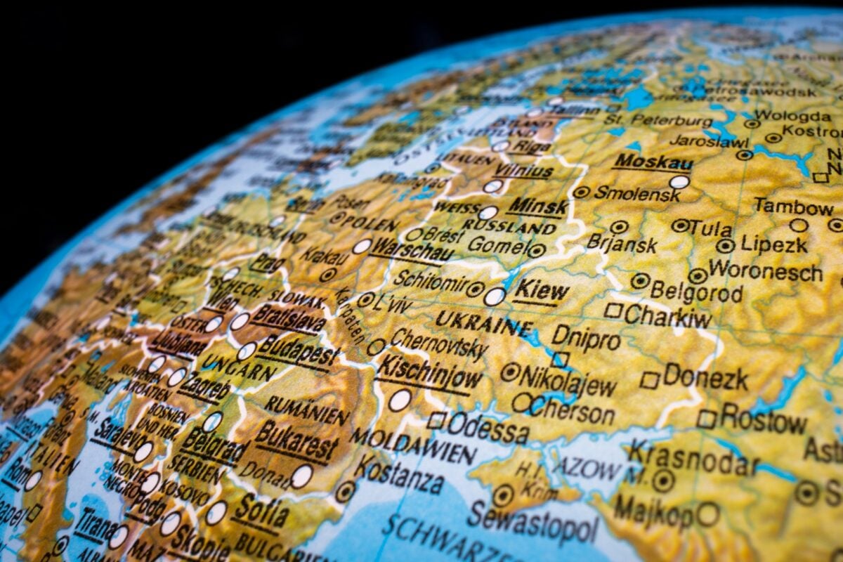
Russian explorer Yakov Sannikov reported sighting a landmass north of Siberia in 1810, and Sannikov Land appeared on Russian Arctic maps and inspired a well-known Soviet-era novel about an expedition to find it. Later Soviet aerial surveys in the 20th century found no trace of any island at the reported location, concluding it had likely been a mirage or an ice formation that later melted.
The Nimrod Islands
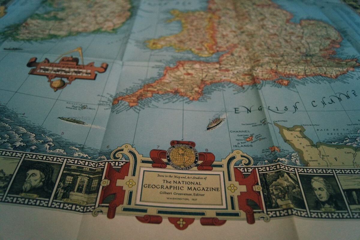
A whaling captain reported sighting a pair of islands in the South Pacific in 1828, and the Nimrod Islands subsequently appeared on British Admiralty charts of the region for close to a century. A dedicated search by a passing survey vessel in the early 20th century found only open ocean at the charted coordinates, and the islands were formally struck from official maps shortly afterward.
The Cartographer’s Confidence
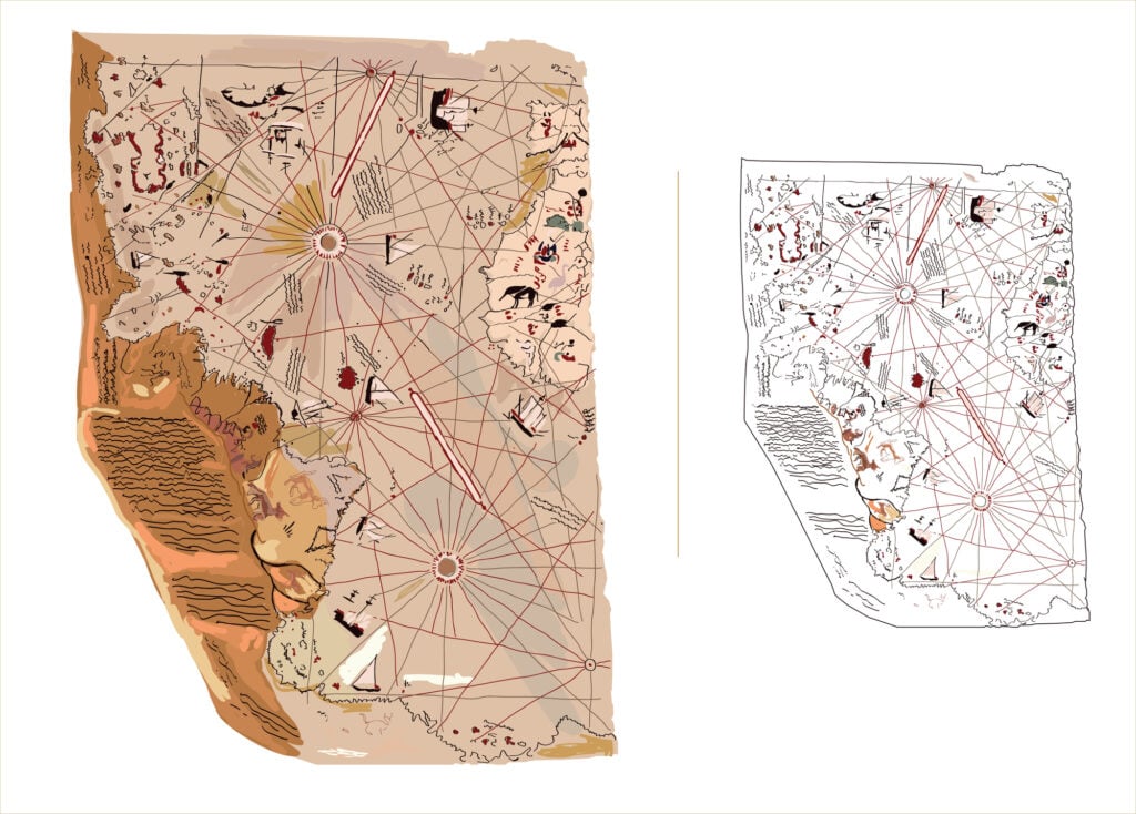
What makes this list unsettling is not that mapmakers guessed wrong, but how rarely anyone checked. A single captain’s report, filed after a long voyage in poor visibility, could end up copied onto official charts by cartographers who had never sailed anywhere near the location themselves, and from there it simply persisted because it looked plausible next to everything else on the page.
Some of these places lasted mere years before correction. Others, like California as an island or the Mountains of Kong, survived on respected, widely used maps for a century or more, shaping how explorers planned routes and how governments understood the world they were claiming. The ocean did not create these places. Confidence did, copied forward long after anyone remembered where the story had started.
More from Go2Tutors!

- The Romanov Crown Jewels and Their Tragic Fate
- 13 Historical Mysteries That Science Still Can’t Solve
- Famous Hoaxes That Fooled the World for Years
- 15 Child Stars with Tragic Adult Lives
- 16 Famous Jewelry Pieces in History
Like Go2Tutors’s content? Follow us on MSN.