18 Photos of the Most Remote Scottish Highlands
There’s a part of Scotland that maps don’t really capture. You can see the roads thin out, the names get harder to pronounce, and the gaps between settlements grow wider — but none of that prepares you for actually being there.
These are places where the sky takes up more space than the land, where mobile signal disappears for hours at a stretch, and where the silence has a weight to it you can feel in your chest. These 18 photos come from the edges of that world.
1. The Cairngorm Plateau in Winter
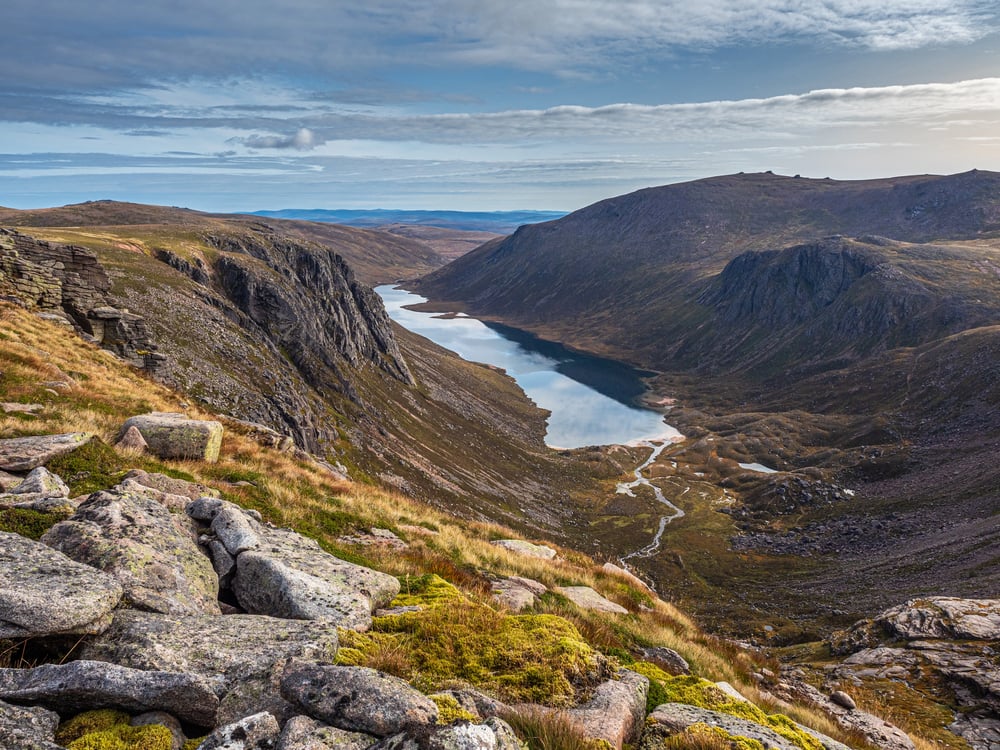
The plateau sits above 1,000 metres and in winter it becomes something close to an arctic landscape. Snow doesn’t fall there so much as it accumulates sideways, driven by winds that hit over 100mph on bad days.
This photo shows the flat, pale expanse of the plateau stretching to a horizon that barely distinguishes itself from the sky. There are no trees. No buildings. Just white ground and grey air.
2. Knoydart’s Shoreline at Low Tide
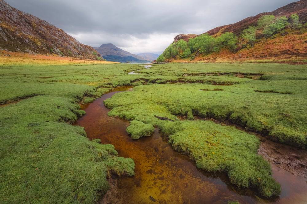
Knoydart has no road connecting it to the rest of Scotland. You either take a small ferry from Mallaig or walk over the mountains — a two-day trek in good conditions.
The shoreline here looks ancient. Dark rocks slicked with seaweed, a narrow strip of sand, and behind it all, hills that roll back into the interior without interruption.
The photo was taken at low tide, when the loch floor exposes itself and the water goes still.
3. Rannoch Moor at Dawn
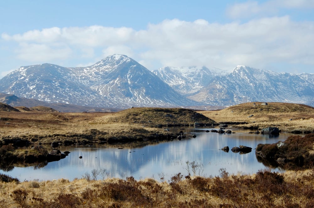
Rannoch Moor is one of the last true wildernesses in Britain. Over 50 square miles of blanket bog, lochan, and open sky.
At dawn the light comes in sideways and turns everything amber and copper. The photo catches the reflection of that light in one of the hundreds of small pools scattered across the moor.
It’s a strange and beautiful place — flat in a way that feels almost surreal when you’re standing in the middle of it.
4. The Quiraing, Isle of Skye
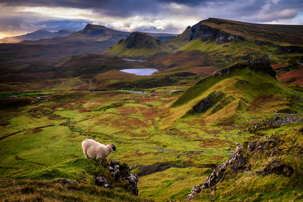
The Quiraing is a landslip on the northeastern edge of the Trotternish Ridge, and it looks like somewhere a story should be set. The rock formations are enormous — tall pinnacles and collapsed plateaus that lean in odd directions.
This photo was taken from the path that crosses through the middle of it, looking back toward the Sound of Raasay. The sea is visible in the far distance, a thin silver line beneath a cloudy sky.
5. Sutherland’s Empty Roads
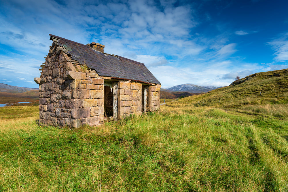
The roads in Sutherland are some of the emptiest in Europe. A single-track road runs through the photo, two tyre-width strips of tarmac with grass growing up the middle.
On either side, open moorland stretches to low hills. There’s no car in the shot, no house, no telegraph pole.
Just road and moor, going on until the road bends out of view.
6. Loch Coruisk from the Ridge Above
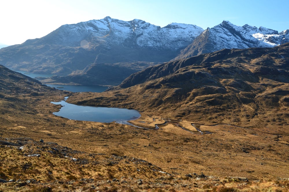
Getting to Loch Coruisk requires either a boat ride from Elgol or a serious scramble over rough terrain. The reward is a loch that sits in a bowl of Black Cuillin rock so dark it looks like it was cut out of the earth.
The photo looks down from the ridge above, the water dark and perfectly still, the surrounding peaks reflected back in its surface.
7. Glen Affric in Autumn
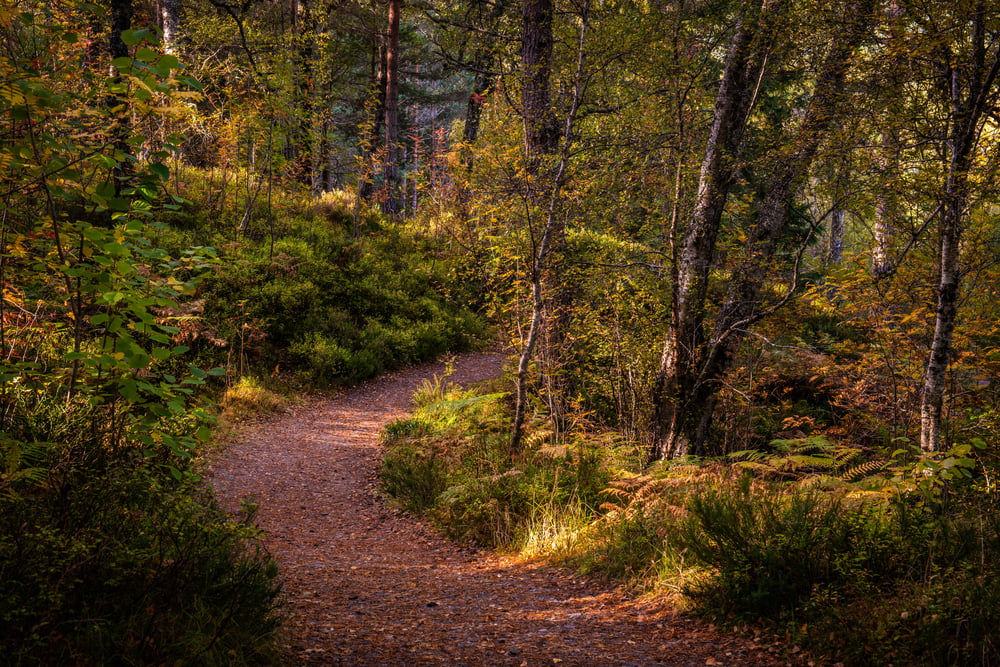
Glen Affric contains some of the last remnants of ancient Caledonian forest — the native Scots pine woodland that once covered most of the Highlands. In autumn, the birch trees turn yellow and the bracken goes rust-red.
The photo shows a stand of Scots pines beside the river, their red-brown bark catching the low October light. It’s one of the few places in the Highlands where you feel enclosed rather than exposed.
8. The Sands of Morar at Dusk
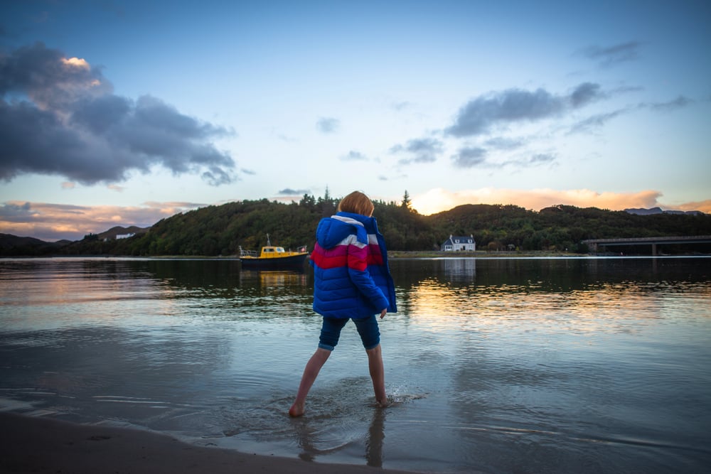
The sands here are white. Not pale beige or cream — actually white, because they’re made largely from crushed shell rather than quartz.
At dusk, when the light goes pink and the sea flattens out, the contrast between the sand, the water, and the dark hills behind is almost too much to process. This photo was taken just before the light disappeared entirely, the sky still holding a thin band of colour above the horizon.
9. Torridon’s Ancient Peaks
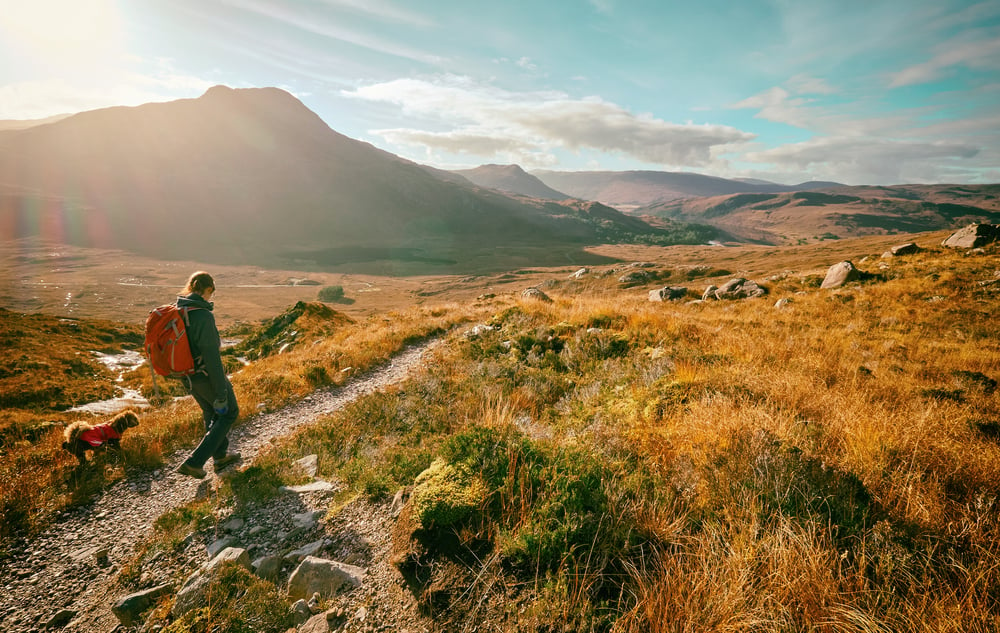
The mountains at Torridon are made from Torridonian sandstone — some of the oldest rock on earth, laid down around 750 million years ago. Beinn Alligin and Liathach rise directly from the sea loch, their terraced flanks striped with pale quartzite near the summits.
The photo shows the view from the road, the mountains filling the frame, their reflections broken by small ripples moving across the loch.
10. A Bothy on the Cape Wrath Trail
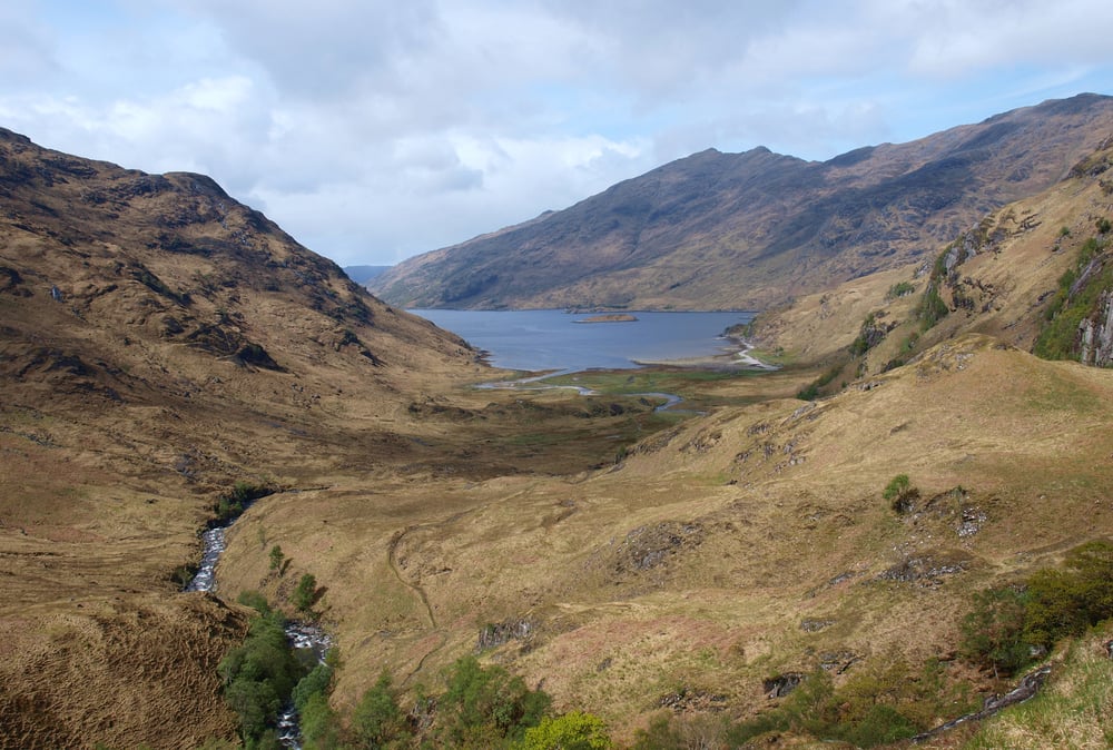
The Cape Wrath Trail runs 200 miles from Fort William to Cape Wrath in the far northwest. It has no official waymarkers and crosses some of the most difficult terrain in Britain.
Bothies — simple stone shelters left unlocked for walkers — are scattered along the route. This photo shows one of them: a low whitewashed building with a corrugated iron roof, sitting in a wide glen with nothing else visible for miles.
11. Strathnaver in the Northern Highlands
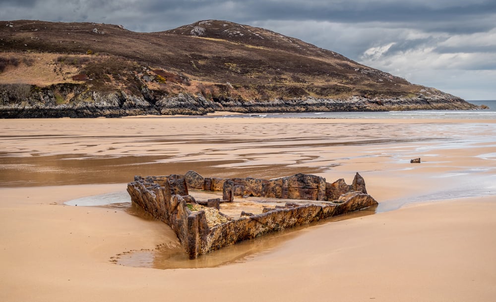
Strathnaver is a long valley that runs down to the north coast. During the Highland Clearances of the 19th century, the communities here were forced off the land so the ground could be used for sheep farming.
The ruins of stone houses still stand across the valley floor, half-swallowed by grass and heather. The photo shows one of these ruins in the foreground, the valley and its river stretching out behind it under a pale sky.
12. Ben Hope and the Bog Below It
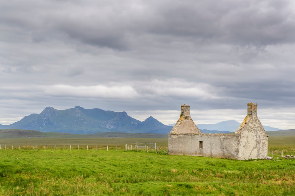
Ben Hope is the most northerly Munro in Scotland, standing at 927 metres. The photo was taken from the approach path, looking up the mountain’s long western ridge.
Below it, the blanket bog is waterlogged even in dry weather — you can see the dark standing water in the foreground pools. The mountain looks deceptively smooth from this angle, though the upper slopes are steep and rocky.
13. The Fairy Pools of Glen Brittle
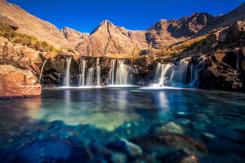
These pools are famous, but photographs still struggle to convey what the water actually looks like. The burns coming off the Black Cuillin run over gabbro and basalt and pool in hollows worn into the rock over thousands of years.
The water is cold enough to take your breath away and clear enough to see the bottom in four metres of depth. The photo catches a small waterfall feeding into one of the upper pools, the water catching the grey Highland light.
14. Fisherfield Forest Without the Forest
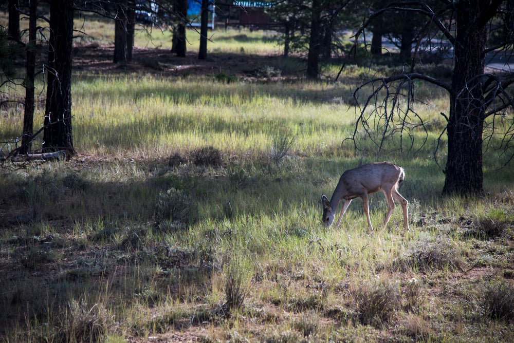
Despite the name, Fisherfield Forest contains almost no trees. It’s a deer forest — a hunting estate in the traditional sense — covering some of the most remote ground in mainland Britain.
The photo looks across the landscape from a high ridge: a succession of lochs and hillsides, no roads, no buildings, no sign of human presence except the path you’re standing on. The nearest village is several hours’ walk in any direction.
15. Sandwood Bay
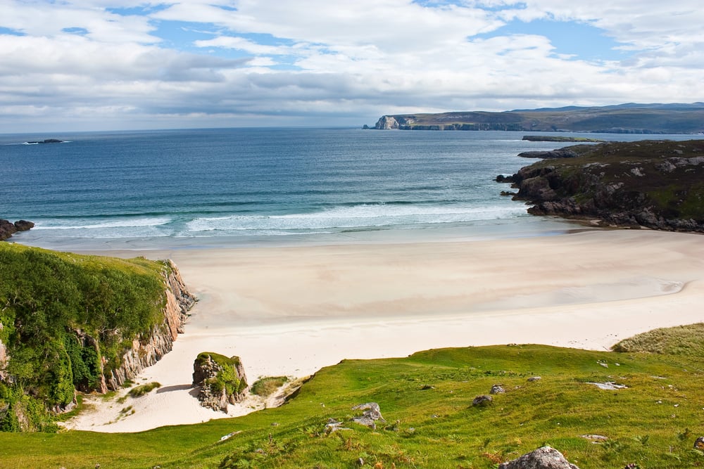
A walk of two hours from the closest road brings you to Sandwood Bay. Over a mile of shoreline stretches beneath bluffs of rosy-red rock, old as time itself.
Behind the dunes, still water gathers – quiet, mirror-like. Open waters ahead roll in without pause from the North Atlantic, restless and strong.
Autumn light shaped the moment caught here: damp sand holds the ocean’s mark, while waves churn below clouds racing sideways across the sky.
16. A Red Deer Stag Standing on Open Moorland
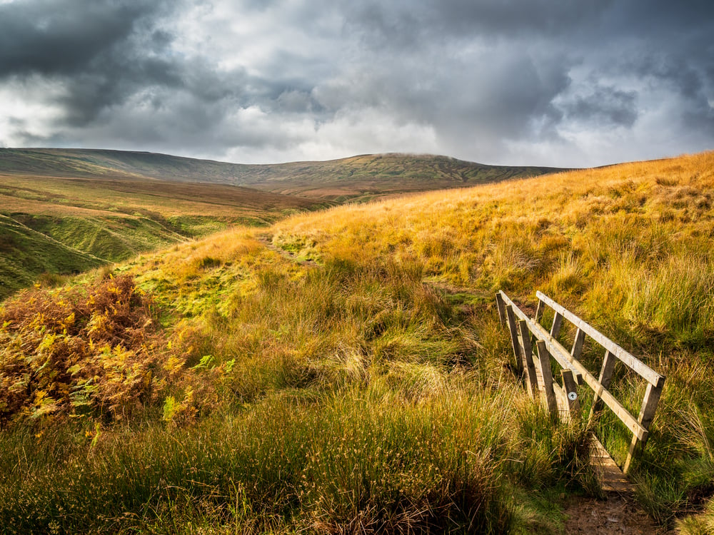
Around three hundred thousand red deer live in the Highlands – outnumbering every other part of Britain put together. Come late autumn, stags show themselves more often, crossing bare hillsides while mating.
Caught mid-rut, this image shows a big male standing still on moorland, horns sharp against a washed-out sky. Looking straight ahead, he faces the lens without shifting, fog from his breathing hanging in the chill.
The scene holds only him, nothing fills the rest.
17. The Cliffs At Handa Island
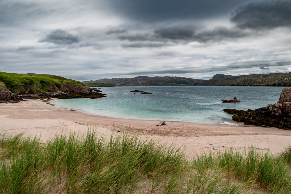
A tiny island sits along the rugged northwest edge, today looked after for animals wild and free. Cliffs stretch sharp from its north and west, falling into ocean spray where countless seabirds gather each warm month.
From a trail perched high above, this picture looks down on a lone tower of stone known as the Great Stack. In summer, guillemots and razorbills pack every ledge tight.
Even when those birds are gone, the rock stands dramatic – deep gray walls plunging without pause into restless waves beneath.
18. The Road to the Isles in Final Light
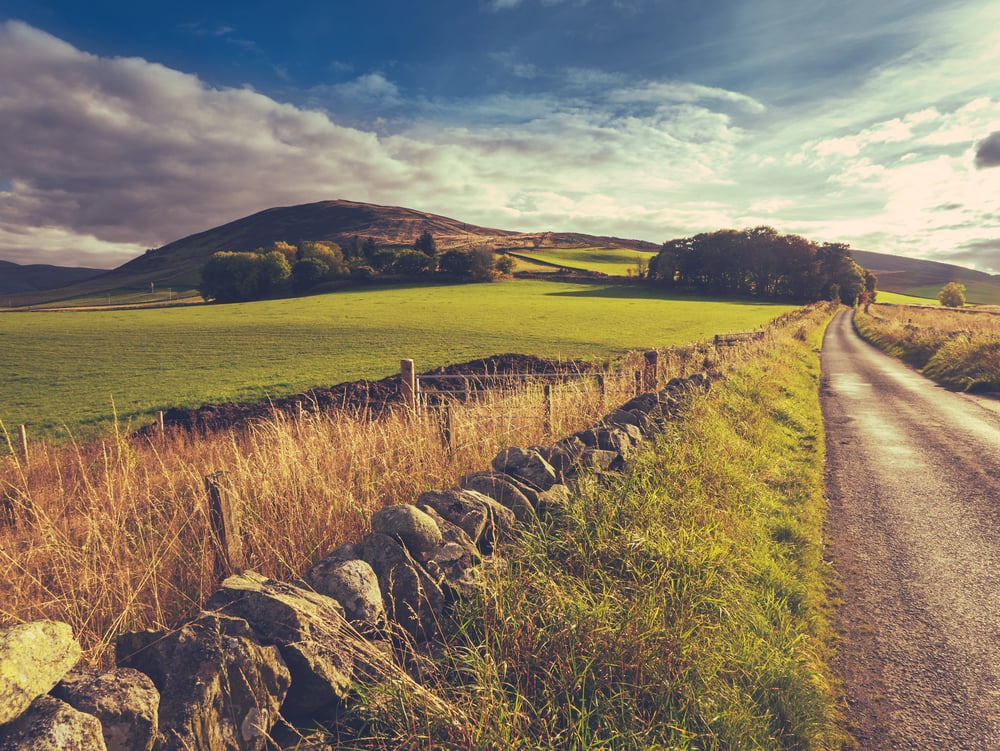
A stretch of the A830 actually lives up to the name “road to the isles,” even if folks toss it around freely in the Highlands. Between Fort William and Mallaig, it cuts through scenes snapped by countless cameras.
You pass Loch Eilt, roll over the Glenfinnan Viaduct, then dip toward Mallaig’s shoreline. The last glow of daylight caught this frame – somewhere beyond Glenfinnan – the tarmac bending into shadow, high ground rising left and right, colors pooling above: orange sinking into blue.
Common Traits Among These Locations
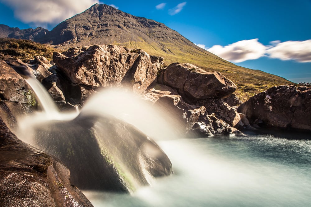
Getting to any of them takes real work. Here’s what most won’t tell you – the remoteness of the Highlands isn’t only on maps, it lives in your legs.
Hours pass underfoot, or you twist along narrow tracks where pulling back for others eats up time, again and again. Sometimes water carries you partway, yet boots still hit ground soon after.
Arriving breathless shifts everything – suddenly the view means more. A different kind of effort shows up when you earn your vantage point.
Not every scene feels the same if you arrive by foot instead of tire tracks. Beauty appears, yes, yet so does proof of travel – distance covered, time spent.
The ground bears marks of arrival, quiet evidence of how far some had to go.
More from Go2Tutors!

- The Romanov Crown Jewels and Their Tragic Fate
- 13 Historical Mysteries That Science Still Can’t Solve
- Famous Hoaxes That Fooled the World for Years
- 15 Child Stars with Tragic Adult Lives
- 16 Famous Jewelry Pieces in History
Like Go2Tutors’s content? Follow us on MSN.