Islands That Move, Split, or Disappear
Islands represent some of the most dynamic landforms on our planet, constantly shaped by powerful natural forces both visible and hidden. These isolated pieces of land can appear surprisingly impermanent when observed over time, transforming dramatically or vanishing entirely. The processes that drive these changes range from gradual erosion to sudden volcanic activity, creating a fascinating study in geological transformation.
Here is a list of remarkable islands around the world that have moved, split apart, or disappeared entirely, demonstrating the ever-changing nature of our planet’s surface.
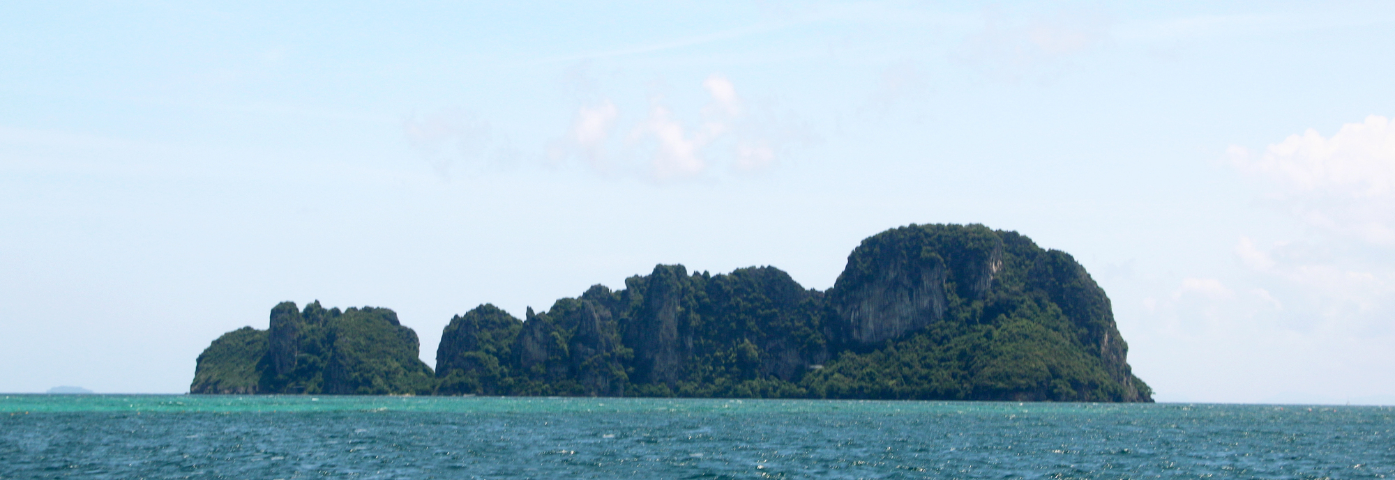
Hunga Tonga-Hunga Ha’apai
This volcanic island in the South Pacific formed in 2015 when an underwater volcano erupted, creating a new landmass that connected two existing islands. The merged formation wasn’t built to last, however, as much of it crumbled back into the ocean just a few years later following another massive eruption in January 2022.
Scientists initially predicted it would survive for decades, making its rapid deterioration a valuable case study in how volcanic islands form and collapse.
Ferdinandea
This submarine volcano near Sicily created a new island in 1831 that sparked an international ownership dispute between four European powers before nature resolved the argument itself. The hastily claimed territory measured about 2 miles in circumference at its peak but sank back below the waves within six months.
The seamount still lies just 26 feet below the surface and occasionally threatens to rise again during periods of volcanic activity.
Like Go2Tutors’s content? Follow us on MSN.
Uunartoq Qeqertaq
Also known as Warming Island, this Greenland landmass was connected to the mainland until climate change melted the connecting ice bridge in the early 2000s. What was once believed to be a peninsula revealed itself as an island roughly 3 miles long as the surrounding ice retreated.
Scientists now use it as a clear visual indicator of warming’s impact on Arctic landscapes.
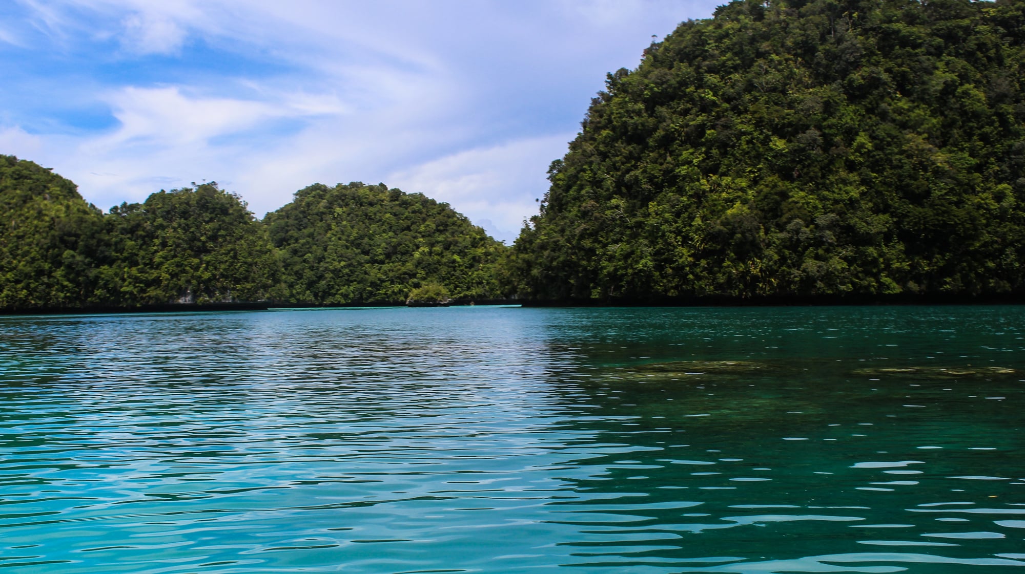
Majuli
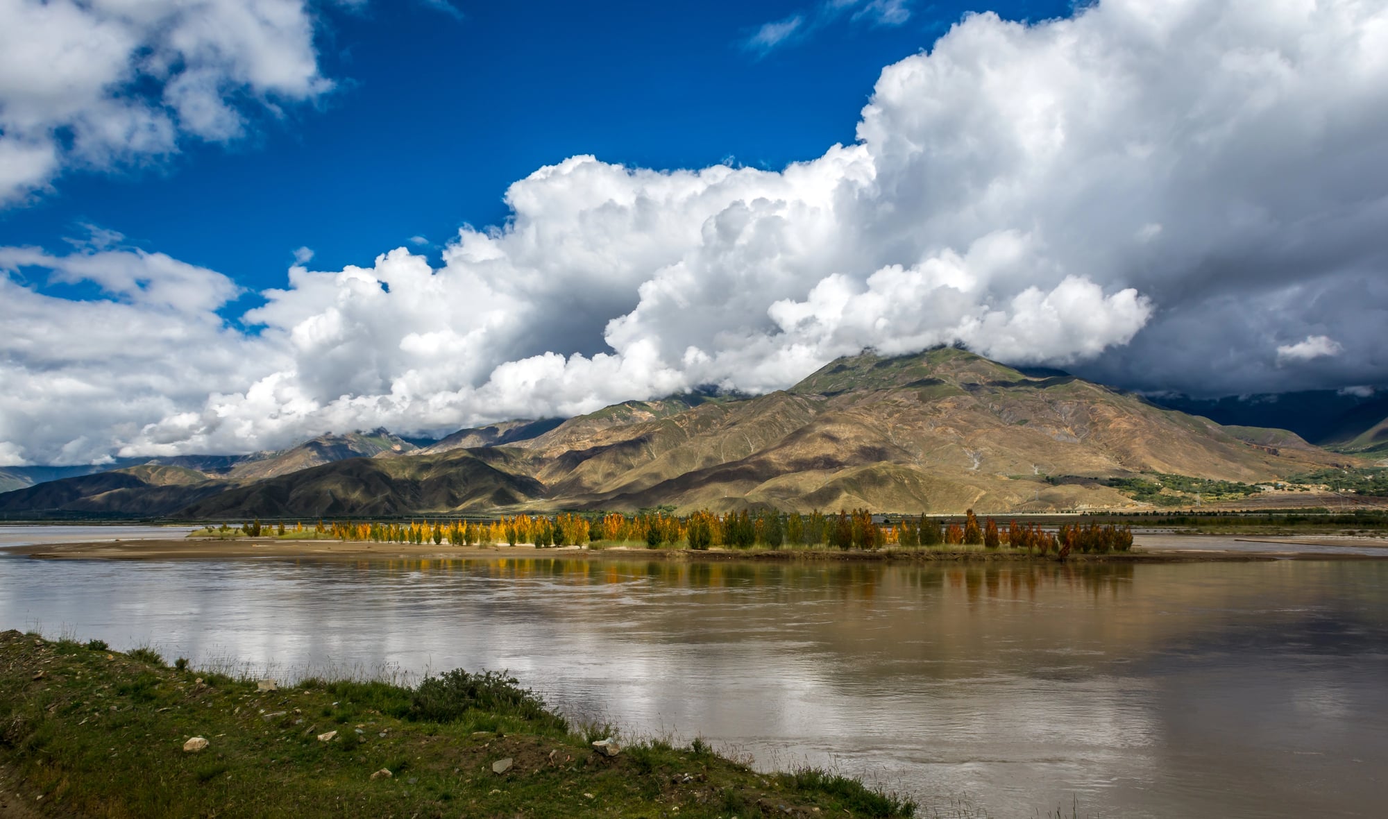
This inhabited river island in India’s Brahmaputra River once held the title of the world’s largest river island, covering over 310 square miles. Severe annual flooding and erosion have reduced its size by more than half over the past century, threatening both the physical island and its unique cultural heritage.
Local communities battle this constant loss with traditional engineering techniques and newer technological interventions to slow the island’s inevitable shrinking.
Graham Island
Volcanic activity off Sicily created this temporary island in 1831, which grew to about a mile in circumference before ocean waves reclaimed it. Four separate nations planted their flags on the new territory during its brief existence above water, each hoping to claim its strategic position.
The submarine volcano occasionally builds up toward the surface during eruptions but hasn’t managed to create another persistent island.
Like Go2Tutors’s content? Follow us on MSN.
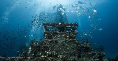
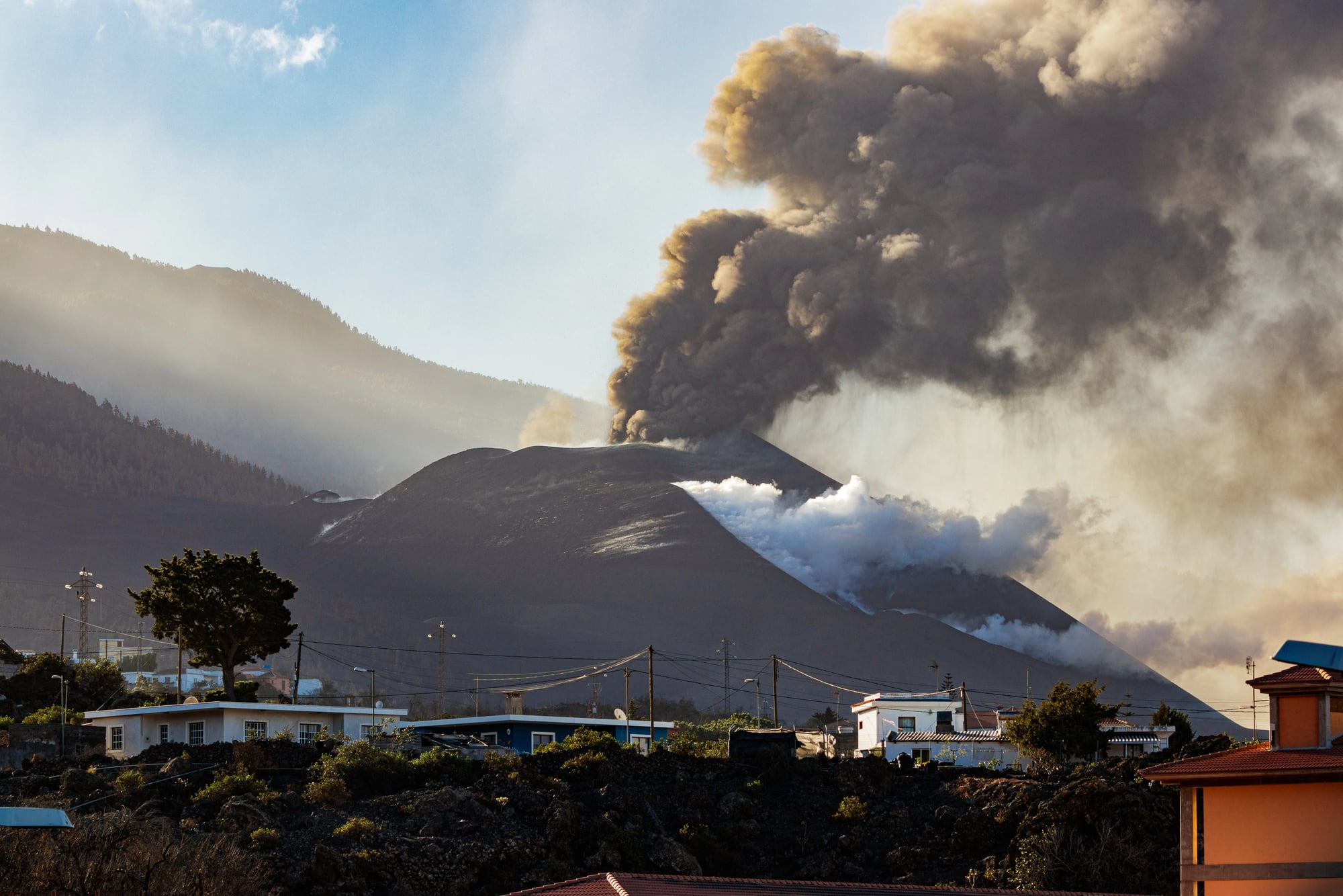
Krakatoa
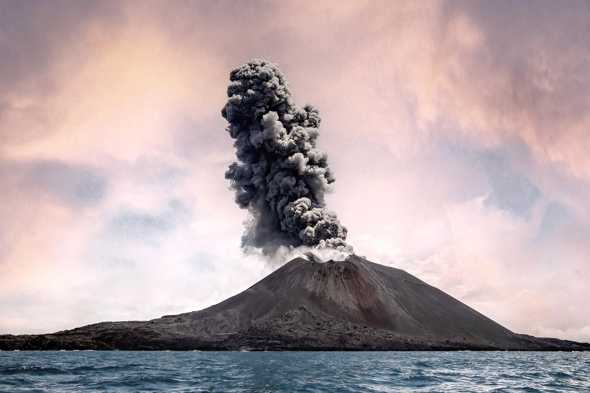
The infamous 1883 eruption of this Indonesian volcano destroyed most of the original island in one of history’s largest explosions. The event ejected so much material that global temperatures dropped, while tsunami waves killed over 36,000 people on nearby shores.
A new volcanic cone called Anak Krakatau (‘Child of Krakatoa’) began forming in the same location in 1927 and continues growing and partially collapsing in an ongoing cycle of creation and destruction.
South Talpatti
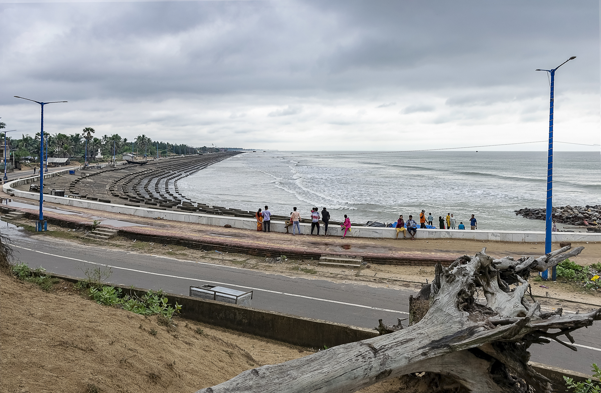
This uninhabited island in the Bay of Bengal appeared in 1970 following a cyclone that redirected sediment from the Ganges River. The island sparked a territorial dispute between India and Bangladesh during its brief four-decade existence above water.
Rising sea levels coupled with erosion completely submerged the landmass by 2010, resolving the political conflict through natural processes.
Nauru
This Pacific island nation has literally moved much of its land through extensive phosphate mining that has exported over 80% of the island’s surface over the past century. The mining removed the entire interior plateau, leaving just a narrow ring of land around a deeply scarred landscape.
The country now faces an uncertain future as the resources that once made it temporarily wealthy have left it environmentally compromised.
Like Go2Tutors’s content? Follow us on MSN.
Lake Ida Island
This Minnesota landmass spontaneously emerged in 2013 when strong storms pushed lake bottom sediment upward, creating a 25-foot-wide island overnight. The sudden appearance surprised local residents who discovered the new feature during routine lake activities the following day.
Scientists believe gas buildup from decomposing organic matter contributed to the unusual formation by lifting the lake bed material to the surface.
Manoel Island
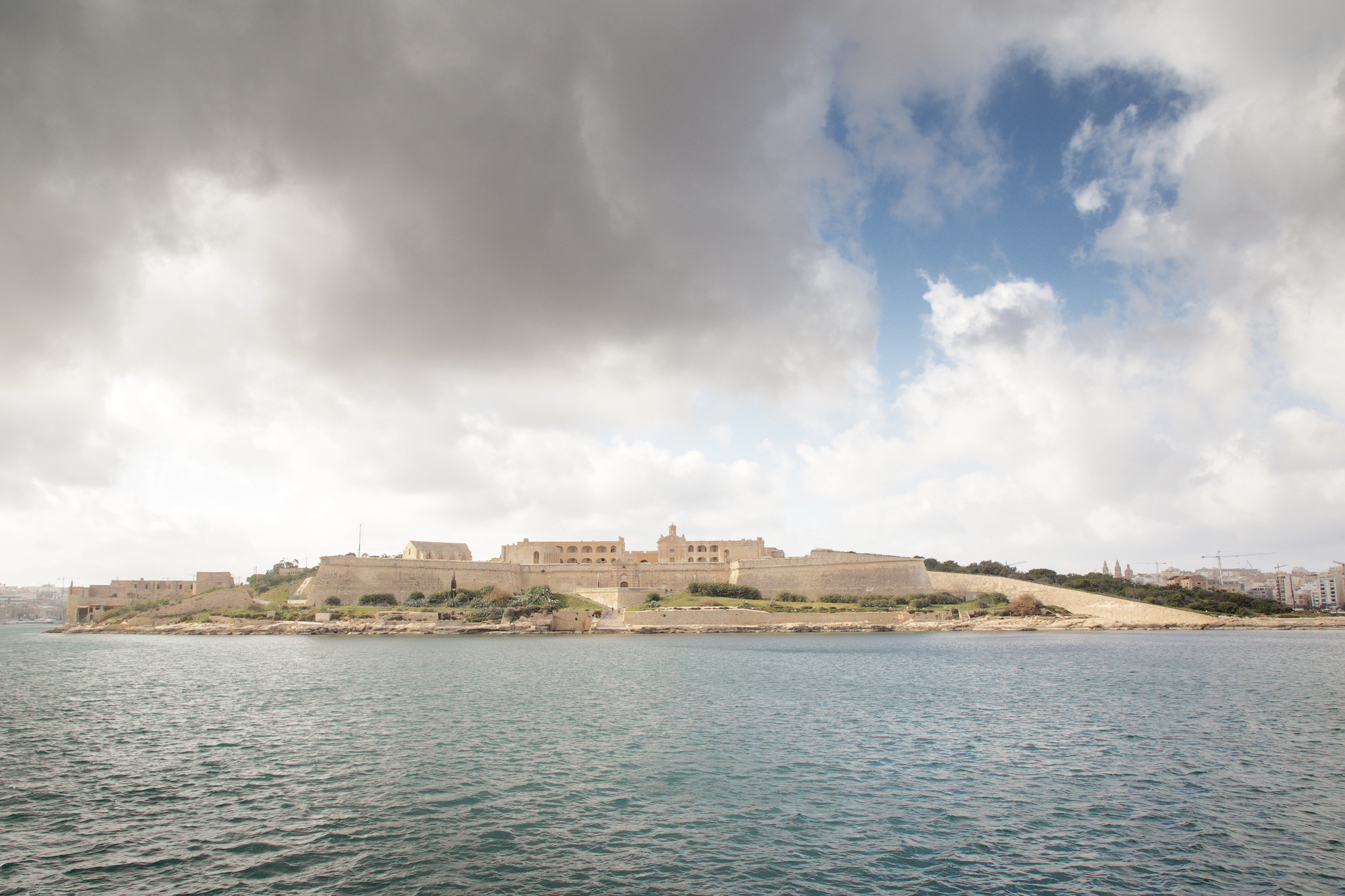
This Mediterranean island near Malta was historically separated from the mainland by a narrow channel that defined it as a strategic defensive position. Engineers connected it to the main island via a bridge in the 18th century and later expanded this connection into a permanent land bridge.
The former island now functions effectively as a peninsula while retaining its name and distinct cultural identity.
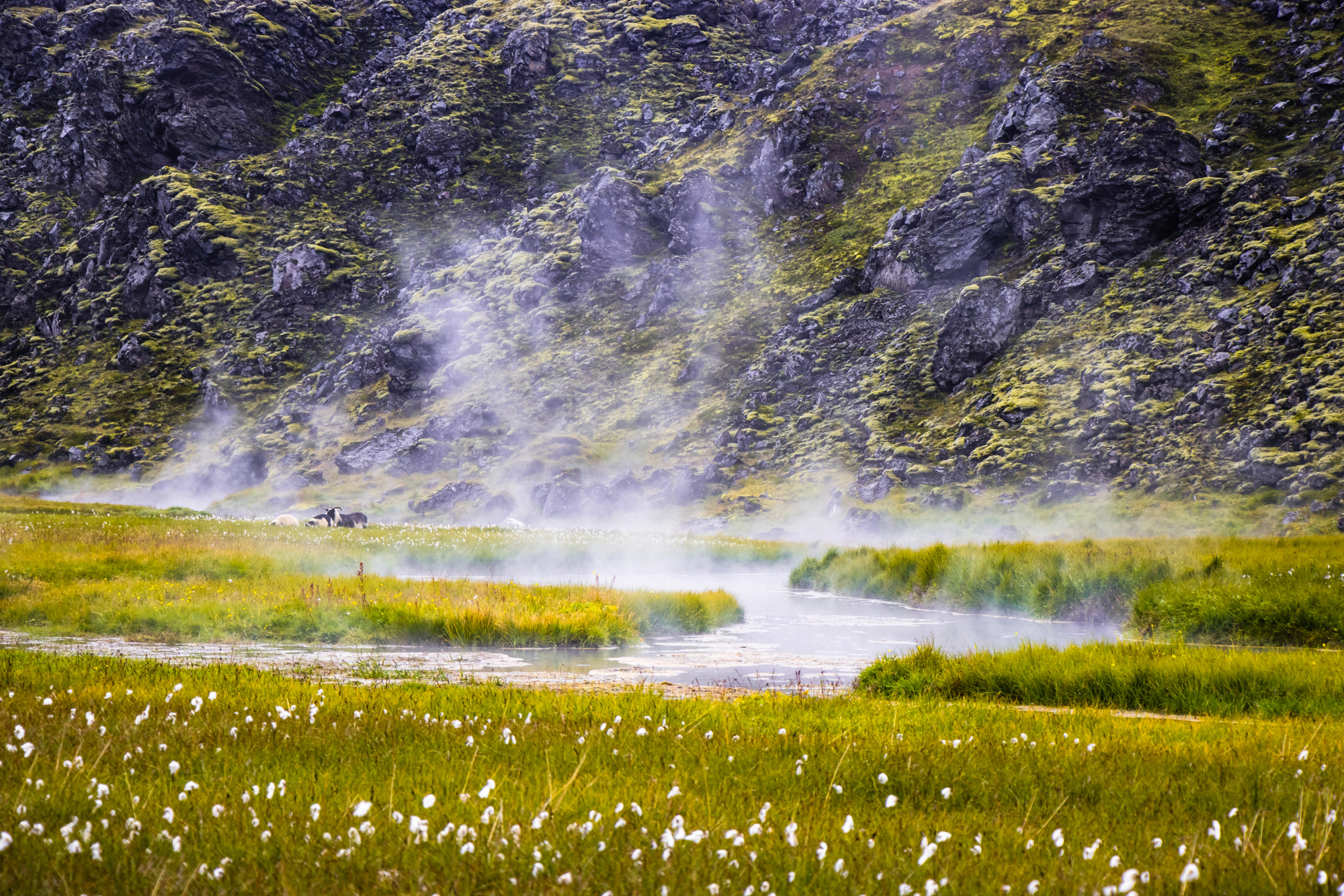
Surtsey
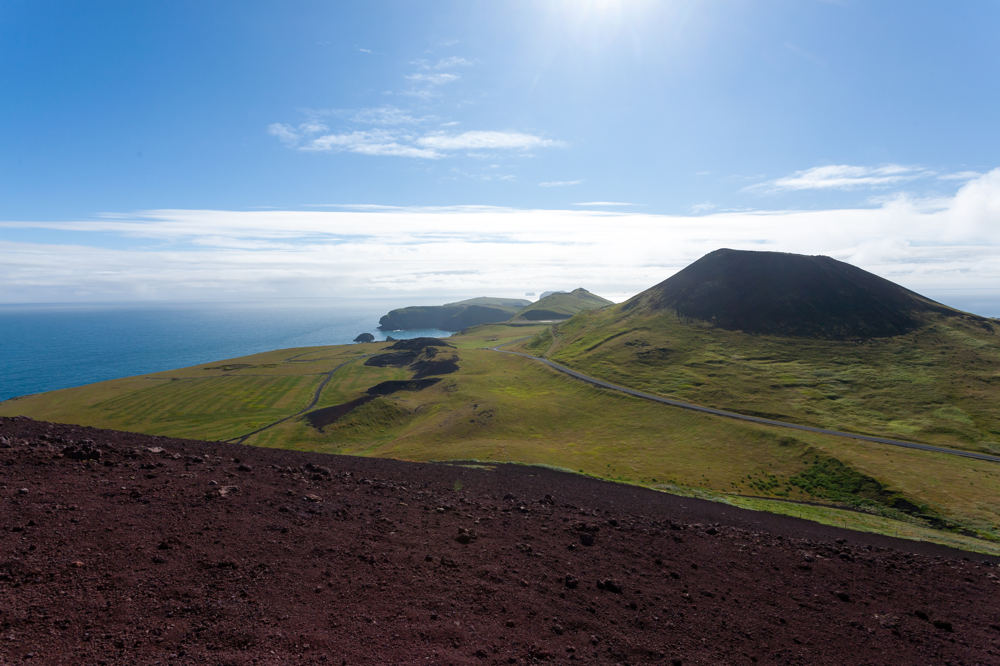
This volcanic island emerged from the Atlantic Ocean near Iceland in a dramatic four-year eruption starting in 1963. The pristine new land has been protected for scientific study since its formation, allowing researchers to document how life colonizes fresh territory.
This natural laboratory continues to evolve as erosion gradually reduces its 1 square mile area, with scientists predicting it will sink below the waves within the next century.
Like Go2Tutors’s content? Follow us on MSN.
Mosquito Island
This narrow barrier island off the Virginia coast has migrated westward more than 400 feet since the 1850s, moving steadily toward the mainland through natural coastal processes. Storm systems push sand from the seaward side over to the landward side in a continuous cycle that maintains the island’s shape while changing its position.
The inland migration represents a typical pattern for barrier islands responding to sea level changes and storm impacts.
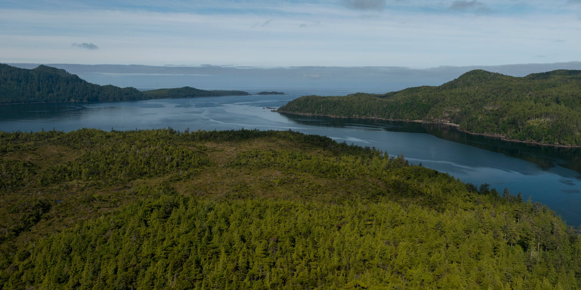
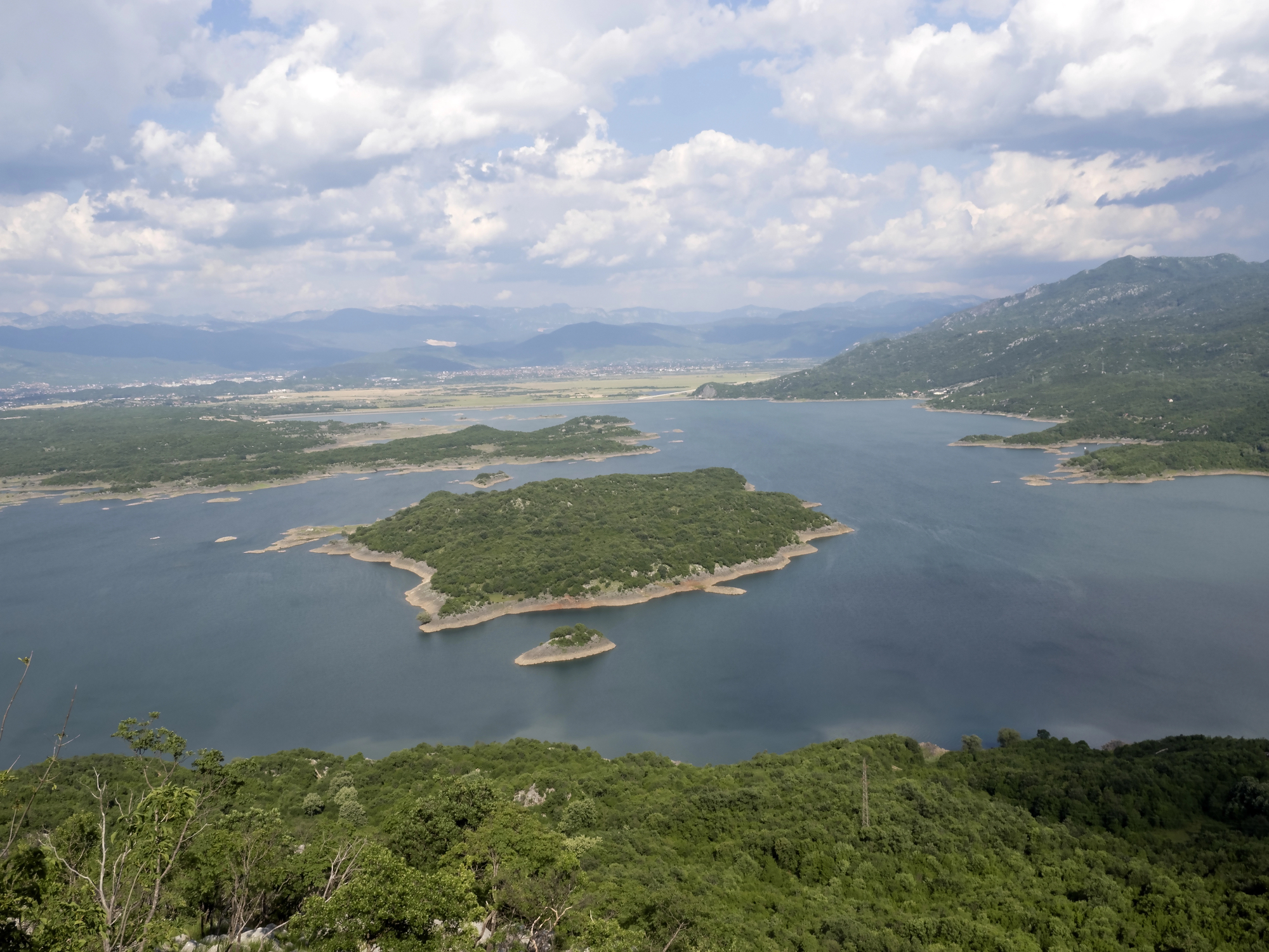
Hudson Bay Islands
The land in this northern Canadian region continues rising at one of the fastest rates in the world, creating new islands as the ground rebounds after being compressed by massive ice sheets during the last ice age. Some areas rise nearly half an inch annually, gradually transforming water channels into dry land connections.
This post-glacial rebound creates a constantly evolving coastline that challenges mapmakers and navigation systems.
Lohachara
This inhabited island in India’s Sundarbans region disappeared completely below the waters of the Bay of Bengal in 1996, forcing the evacuation of its 10,000 residents. The island’s submergence resulted from a combination of rising sea levels, land subsidence, and coastal erosion affecting the fragile delta region.
Its loss represents an early example of permanent displacement due to environmental changes that now threaten numerous other low-lying islands worldwide.
Like Go2Tutors’s content? Follow us on MSN.
Zalzala Koh
Known as ‘Earthquake Mountain,’ this island appeared off Pakistan’s coast following a 7.7 magnitude earthquake in 2013 that forced the seafloor upward. The circular mud volcano island measured about 300 feet in diameter upon formation but began eroding immediately due to its loose composition.
Ocean waves completely reclaimed the temporary landmass by 2016, leaving no visible trace of its brief existence above water.
Rishiri
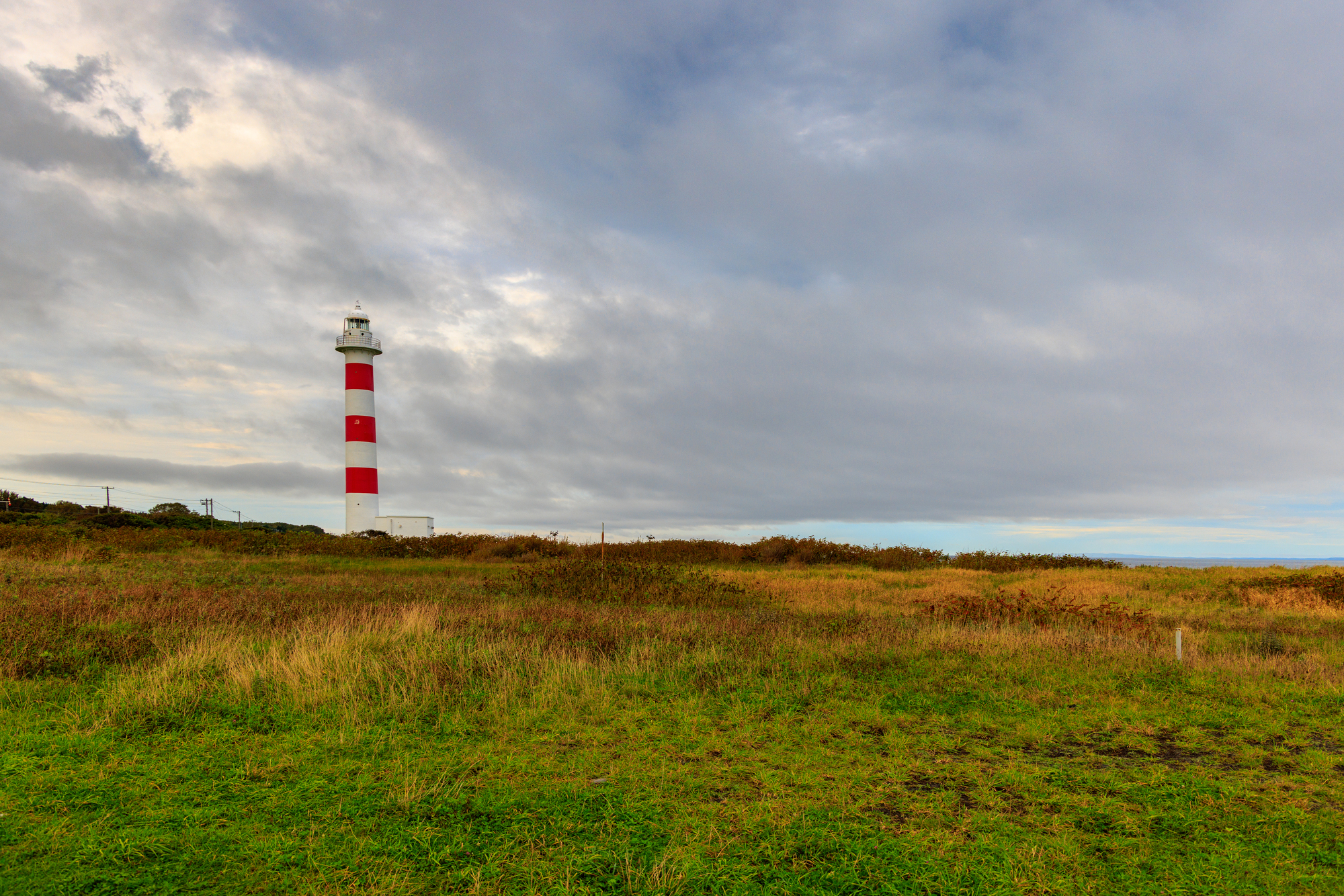
This Japanese island has effectively split in two during certain extreme low tide events, creating a temporary sandbar passage between its previously connected volcanic peaks. The emergence of this narrow connection creates a popular tourist attraction during predictable seasonal tide patterns.
Geologists believe continued erosion may eventually make this separation permanent as ocean currents reshape the connecting sediment.
Po’olenalena
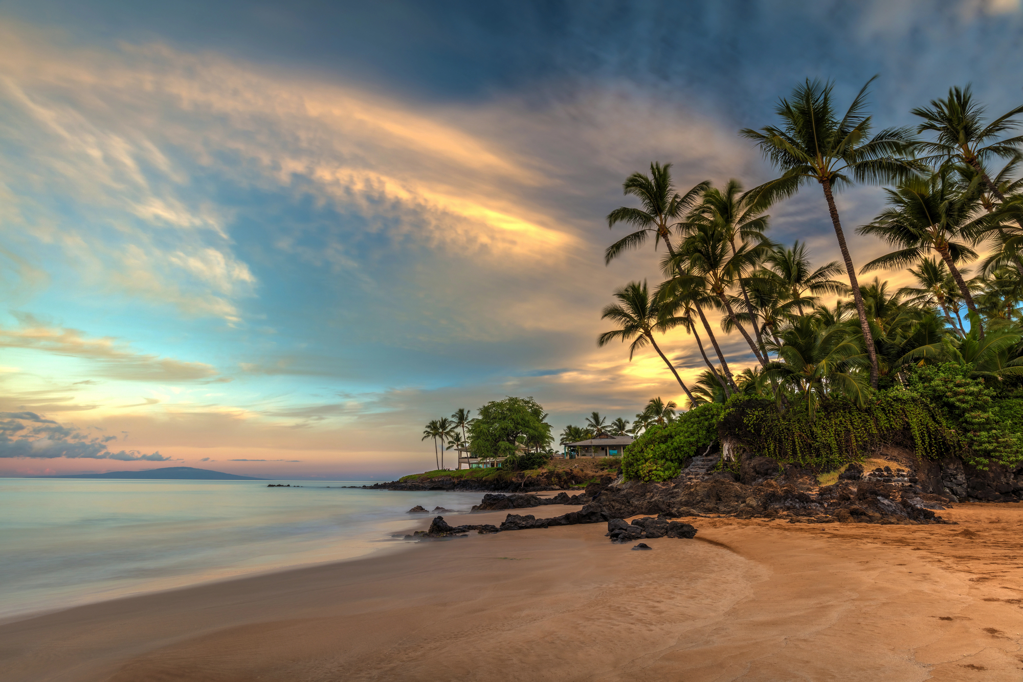
Massive storms in 2020 dramatically altered this Hawaiian beach island, washing away approximately 20 feet of shoreline in a single season. The rapid erosion exposed ancient burial sites and threatened coastal infrastructure built during more stable periods.
Local officials implemented emergency measures to protect cultural resources while acknowledging the ultimate power of natural coastal processes.
Like Go2Tutors’s content? Follow us on MSN.
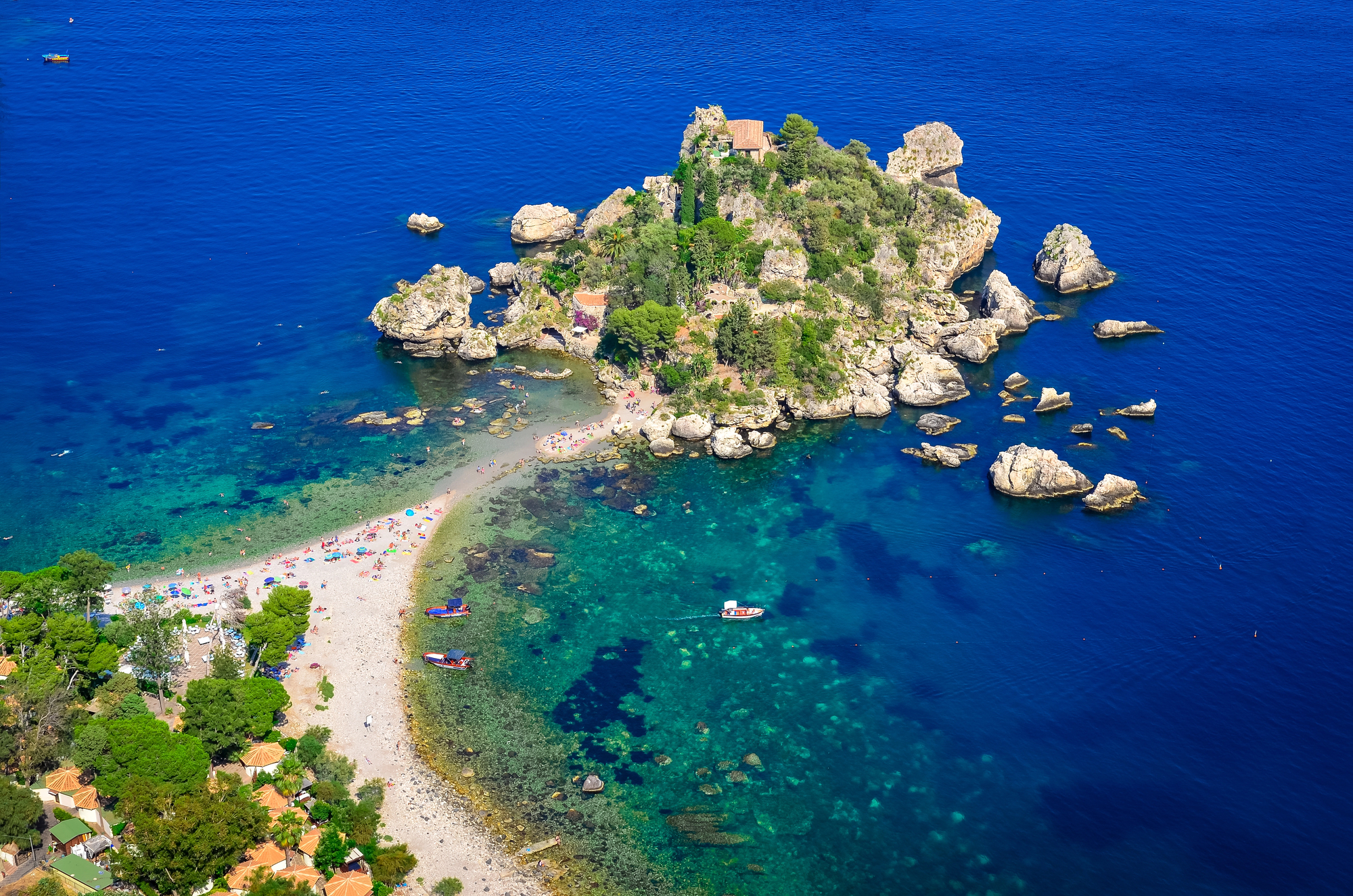
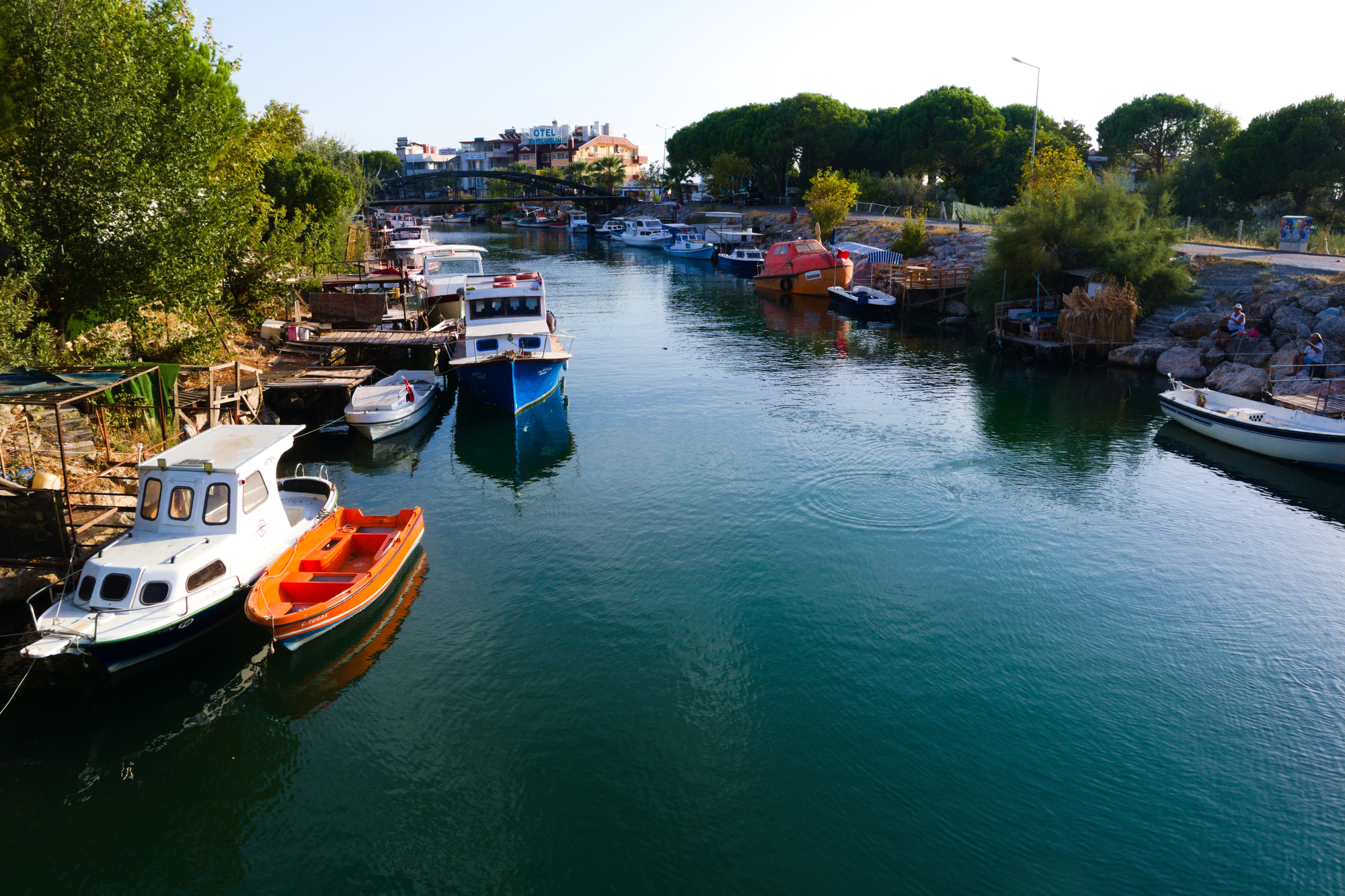
Bozcaada
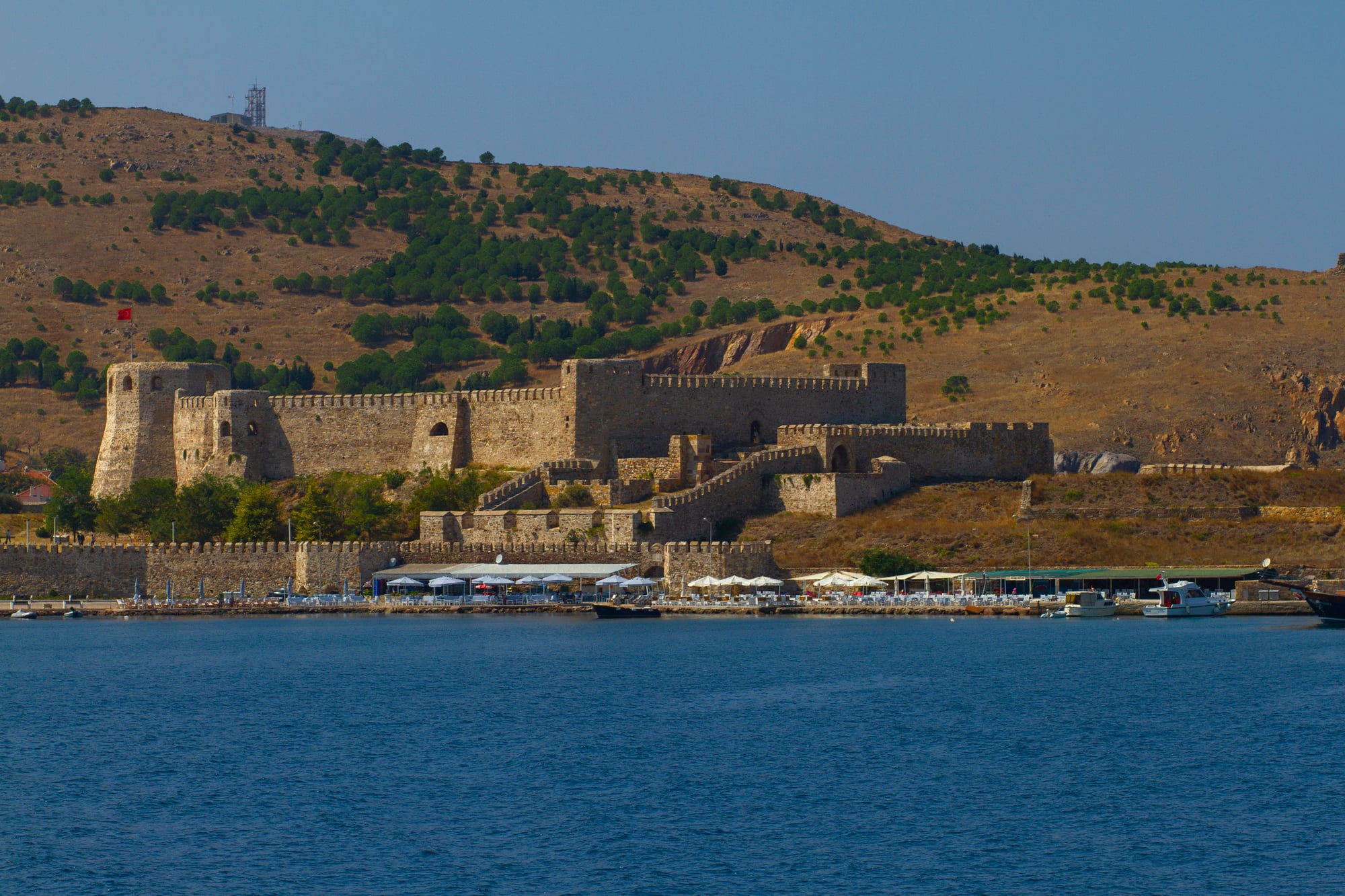
This Turkish island in the Aegean Sea has grown in size over centuries as accumulated sediment gradually connected several smaller islands into one larger landmass. Historical maps from different eras clearly show the evolution from archipelago to consolidated island through natural deposition processes.
The transformation illustrates how islands can sometimes grow rather than shrink when positioned to capture sediment moved by favorable ocean currents.
Maui Nui
This Hawaiian landmass once existed as a single large island that subsequently split into the separate islands of Maui, Molokai, Lanai, and Kahoolawe through a combination of erosion and subsidence. The original unified island had nearly twice the land area of present-day Hawaii’s Big Island at its maximum extent.
These islands continue moving apart at microscopic rates as the Pacific plate carries them northwest from their volcanic origins.
Schiermonnikoog
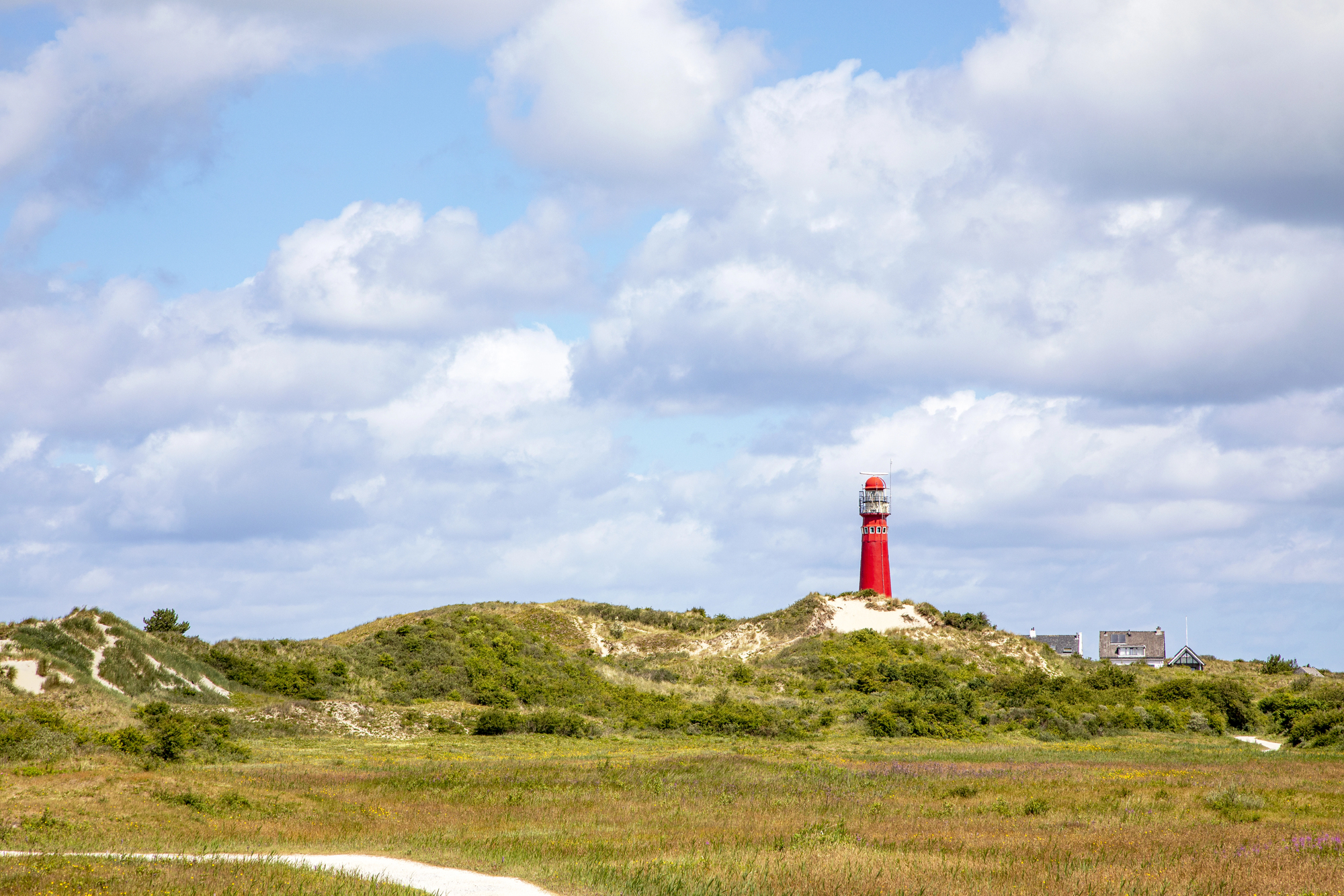
This inhabited Dutch barrier island moves eastward at an impressive rate of 5-15 feet annually, making it one of the fastest naturally migrating islands in the world. The western end steadily erodes while new land accumulates on the eastern side, effectively rolling the entire island along the coast.
Local buildings have occasionally required relocation when the land beneath them literally moved away.
Like Go2Tutors’s content? Follow us on MSN.
Dynamic Equilibrium

These shifting, splitting, and vanishing islands remind us of our planet’s remarkable geological activity happening right before our eyes. What appears permanently fixed on maps often represents just a momentary snapshot of continually changing landforms shaped by powerful natural forces.
The dramatic transformations of these islands provide valuable insights into Earth’s processes while challenging our human perception of stability in the natural world.
More from Go2Tutors!

- 18 Unexpectedly Valuable Collectibles You Might Have Lying Around
- 20 Little-Known Historical Battles That Had Huge Consequences
- 20 Historical Artifacts That Scientists Can’t Explain
- 15 Inventions That Were Immediately Banned After Being Created
- 20 Actors Who Were Almost Cast in Iconic Roles
Like Go2Tutors’s content? Follow us on MSN.