Nations with the Most Land Borders
Most nations survive with only a few neighbors, perhaps sharing a border or two with their neighbors. Then there are the geographical overachievers, countries that appear to have amassed a collection of their neighbors like baseball cards. With so many international lines crisscrossing their territory, these border-heavy nations face both special opportunities and challenges.
Having many land borders influences everything from immigration policy and cultural exchange to trade relations and military strategy. It’s not just a fun geography fact. Compared to their less connected counterparts, countries with a large number of neighbors face more complicated diplomatic relationships and border security issues, but they also frequently become natural crossroads for people, ideas, and commerce.
Given how history and geography came together to form these border-rich countries, you may be surprised by the record holders in this category. The nations on this list have the greatest number of neighbors.
China

China takes the crown with 14 land borders, stretching from Russia in the north all the way down to Vietnam in the south. This massive country touches more nations than any other, sharing boundaries with powerhouses like India and Russia, tiny mountain kingdoms like Bhutan, and everything in between.
China’s extensive border network reflects its position as Asia’s geographical giant, sitting at the crossroads where Central Asia, Southeast Asia, and the Himalayas all meet.
Russia
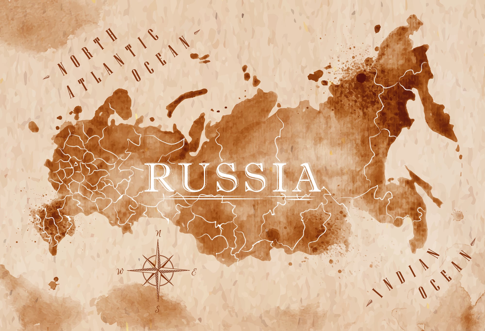
Russia ties for first place with 14 land borders, though this shouldn’t shock anyone familiar with the world’s largest country. Stretching across 11 time zones, Russia naturally bumps up against European neighbors like Finland and Norway, Asian nations like China and Mongolia, and former Soviet republics throughout Central Asia.
The country’s borders span roughly 12,000 miles, which is about half the distance around Earth’s equator.
Like Go2Tutors’s content? Follow us on MSN.
Brazil
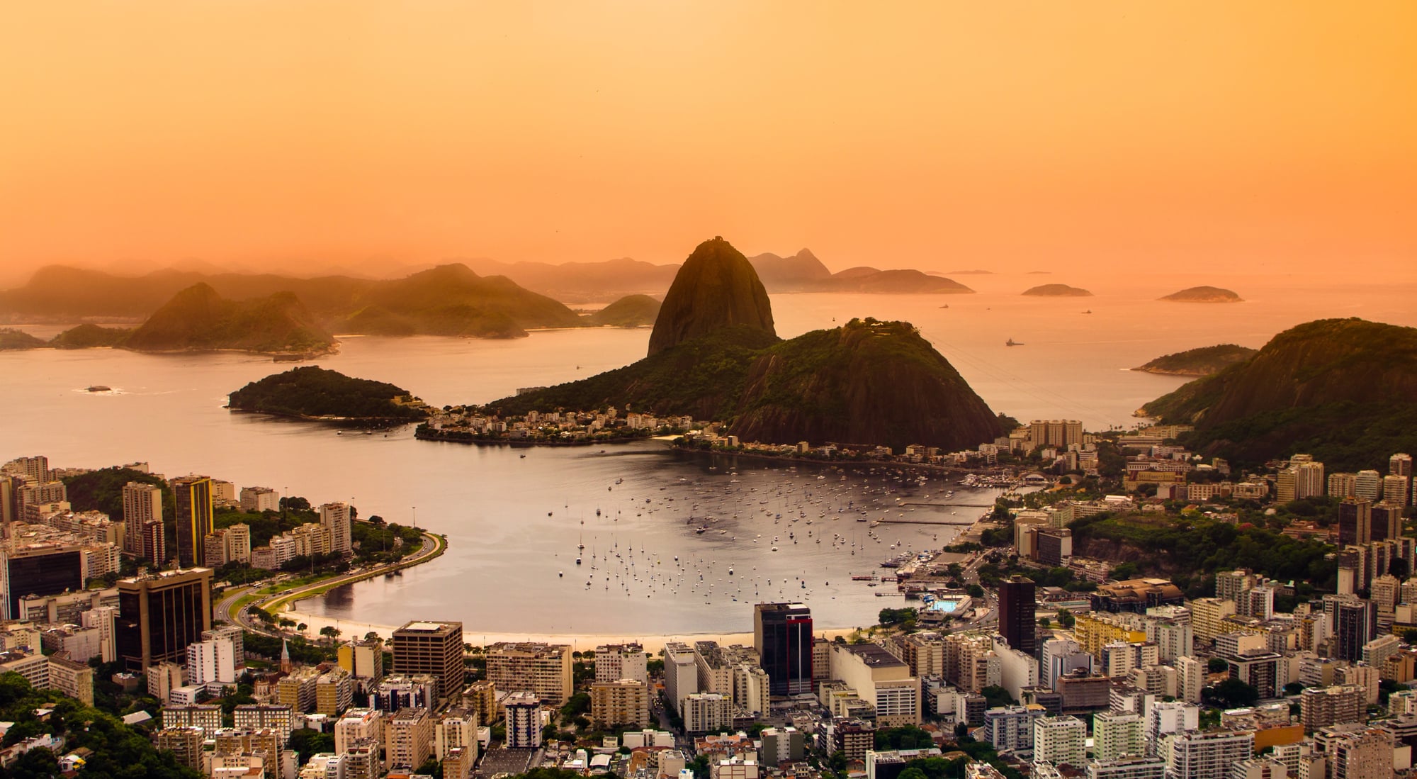
Brazil claims third place with 10 land borders, touching every South American country except Chile and Ecuador. This Portuguese-speaking giant shares its longest border with Bolivia, but also connects with tiny neighbors like French Guiana and Suriname.
Brazil’s border dominance makes sense when you consider it occupies nearly half of South America’s total landmass, creating natural meeting points with almost everyone on the continent.
Germany

Germany manages 9 land borders despite being roughly the size of Montana, making it Europe’s most connected nation. The country sits in the heart of Europe where it naturally touches everything from Scandinavia down to the Alps.
Germany’s central location helped make it a major trade hub throughout history, though having so many neighbors also made it a frequent battleground during Europe’s more tumultuous periods.
Sudan
Sudan maintains 7 land borders even after South Sudan’s independence in 2011, connecting Northeast Africa to the broader continent. The country shares boundaries with Egypt in the north, Libya to the northwest, and several sub-Saharan African nations to the south and west.
Sudan’s position along the Nile River and at the edge of the Sahara Desert makes it a natural bridge between different African regions and cultures.
Like Go2Tutors’s content? Follow us on MSN.
France
France’s mainland shares 8 land borders with European neighbors, while its overseas territories add additional borders with countries like Brazil, Suriname, and the Netherlands. The country shares its longest border with Spain across the Pyrenees, but also connects with tiny Monaco and Switzerland’s mountain passes.
France’s diverse border collection includes everything from Alpine crossings to Mediterranean coastlines, reflecting its position as Western Europe’s geographical anchor.
Austria
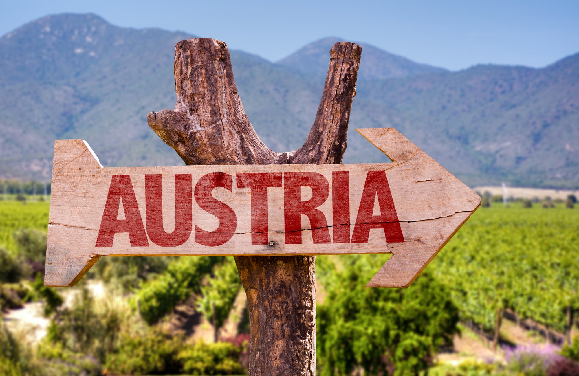
Austria punches above its weight with 8 land borders despite being smaller than South Carolina. This landlocked country sits in the heart of Europe where the Alps meet the Danube River valley, creating natural pathways that connect Germanic, Slavic, and Latin cultures.
Austria’s mountain passes have served as crucial trade routes for centuries, making it a natural meeting point for European commerce and culture.
Turkey
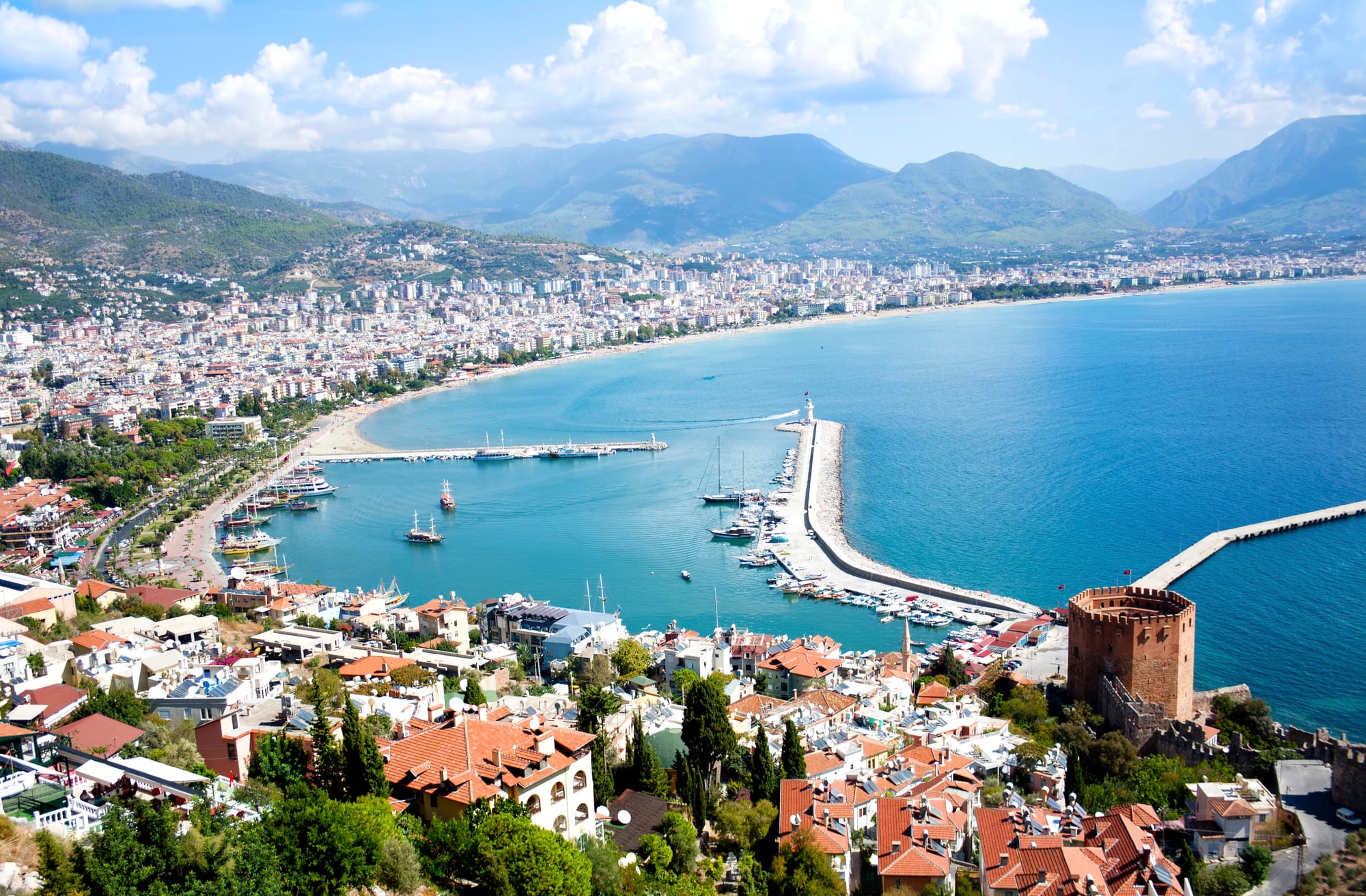
Turkey straddles two continents with 8 land borders, connecting European neighbors like Bulgaria and Greece with Middle Eastern nations like Syria and Iran. The country’s unique position between Europe and Asia made it a crucial crossroads throughout history, from ancient Silk Road trading routes to modern energy pipelines.
Turkey’s borders reflect its role as a bridge between different worlds, both geographically and culturally.
Like Go2Tutors’s content? Follow us on MSN.
Tanzania
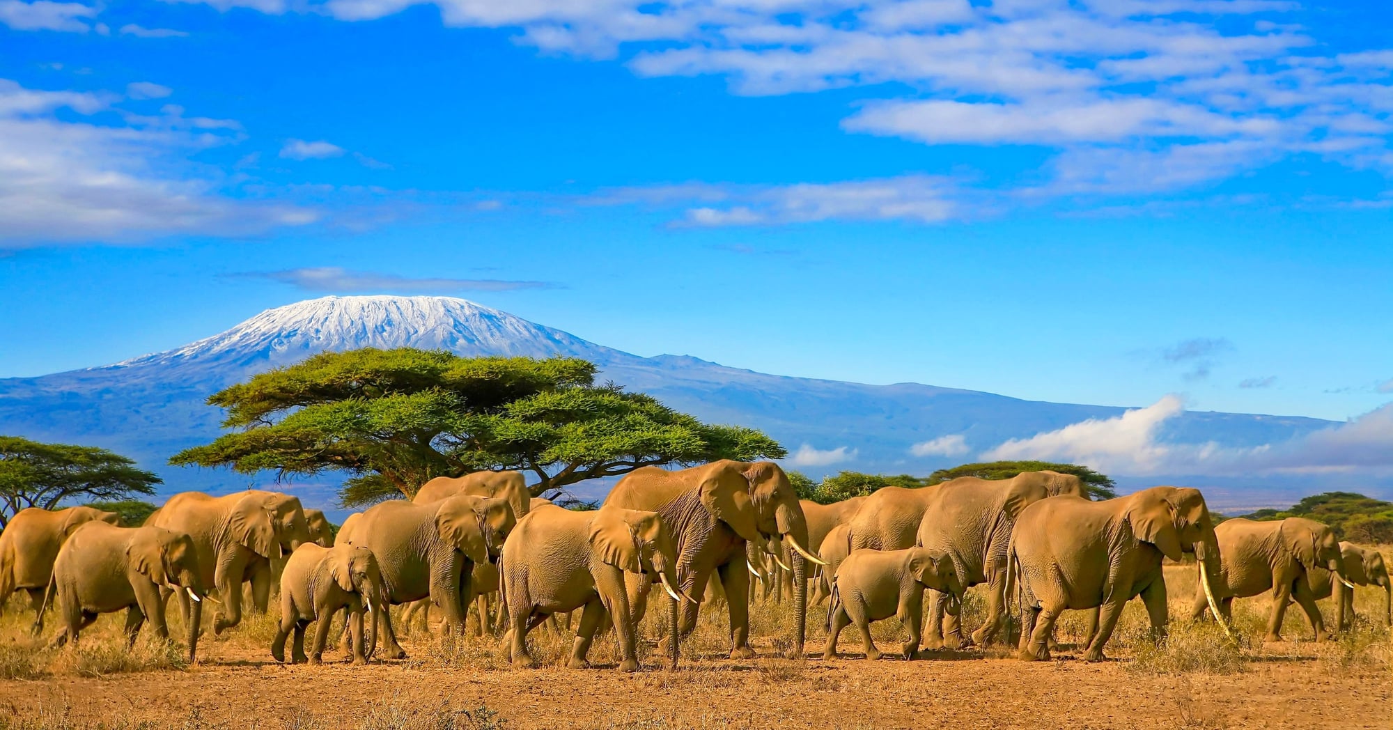
Tanzania manages 8 land borders in East Africa, placing it among the African nations with the most borders. The country touches everything from tiny Rwanda and Burundi to the massive Democratic Republic of Congo, creating connections across the entire width of central Africa.
Tanzania’s Indian Ocean coastline combined with its extensive land borders made it a natural hub for both maritime and overland trade routes throughout African history.
Serbia
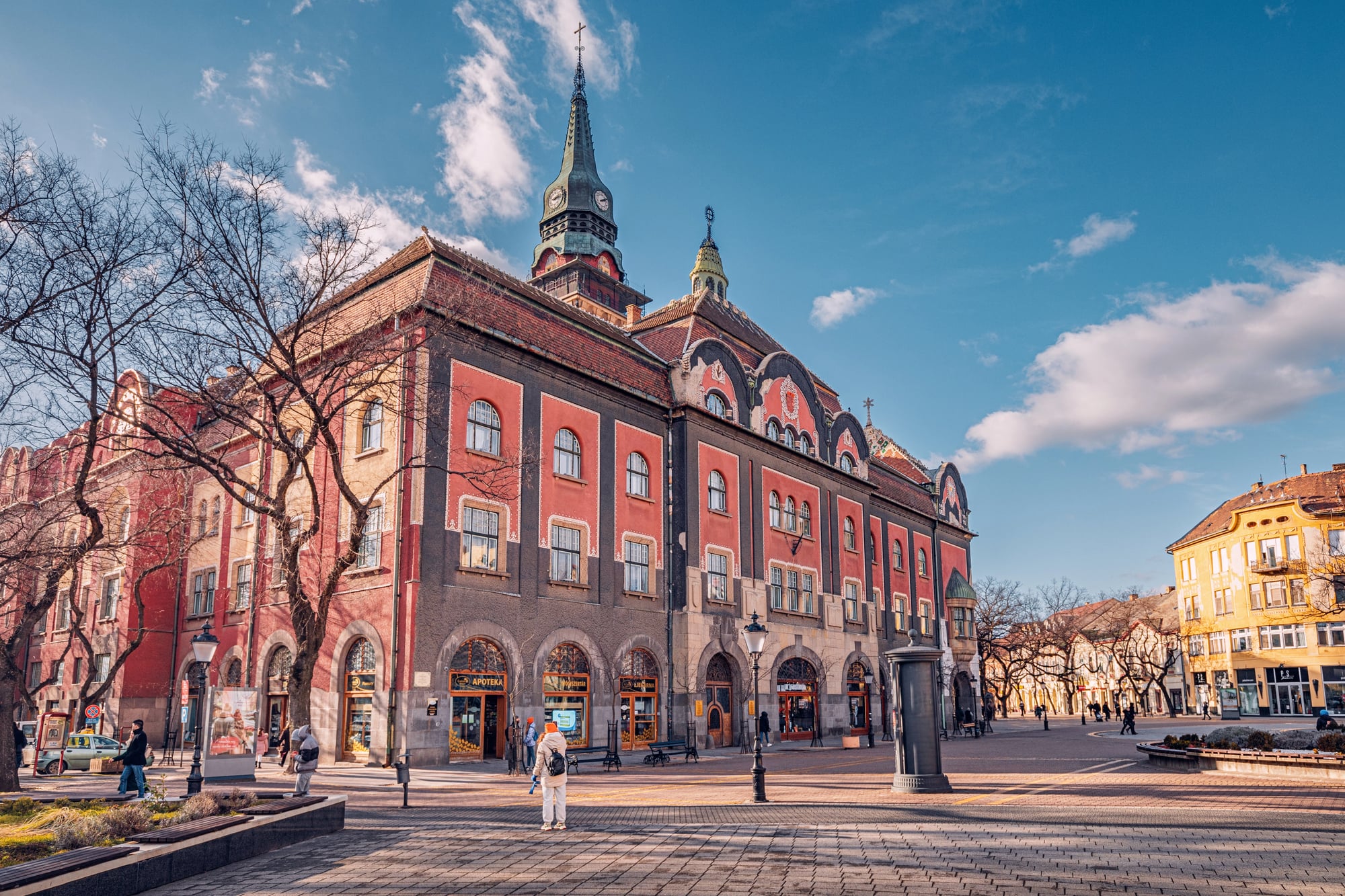
Serbia maintains 8 land borders in the Balkans, making it the most connected country in Southeast Europe. This landlocked nation sits where the Danube River valley meets various mountain ranges, creating natural corridors that connect Central Europe with the Mediterranean world.
Serbia’s numerous borders reflect the complex ethnic and political geography of the Balkans, where small nations are packed tightly together.
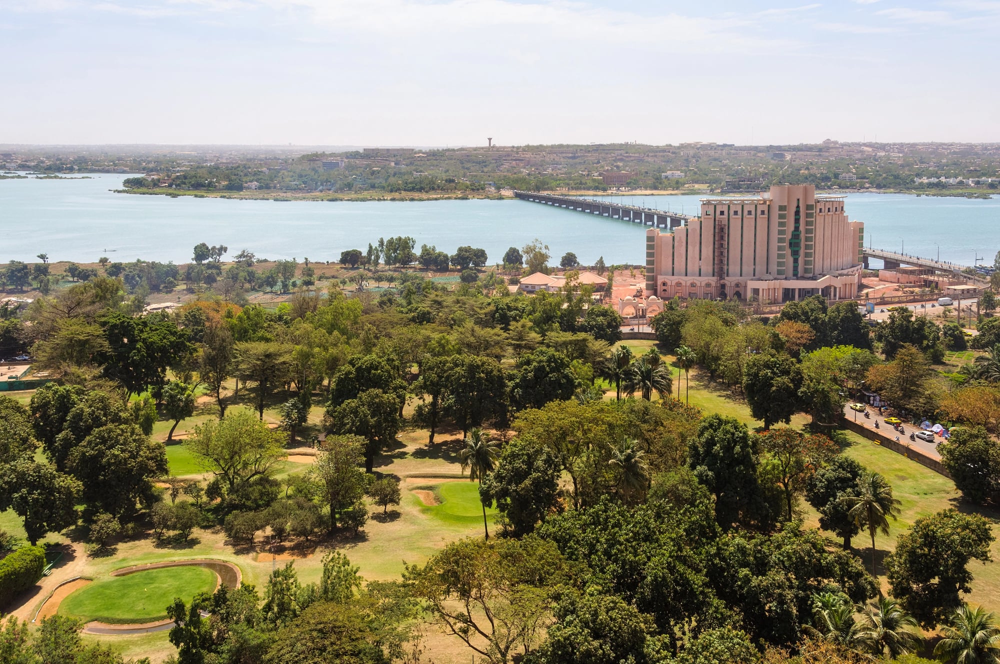
Mali

Mali shares 7 land borders across West Africa, stretching from the Sahara Desert in the north to tropical regions in the south. The country connects North African cultures with sub-Saharan Africa, serving as a natural meeting point between different climate zones and ways of life.
Mali’s extensive borders reflect its historical role as a crossroads for trans-Saharan trade routes that carried gold, salt, and ideas across the continent.
Like Go2Tutors’s content? Follow us on MSN.
Kazakhstan
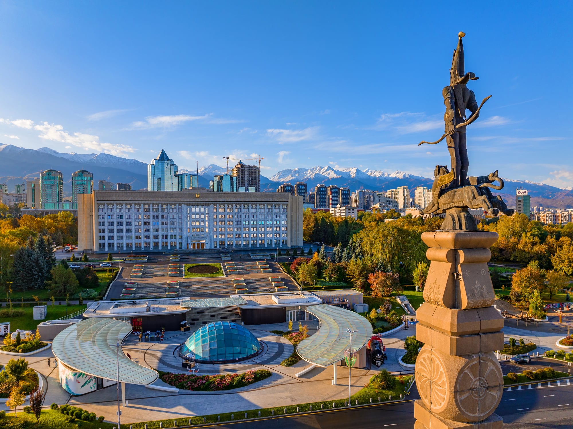
Kazakhstan borders 5 countries but covers such an enormous area that these borders stretch for thousands of miles. While not having as many neighbors as some countries, the world’s largest landlocked nation makes up for it with the sheer scale of its boundaries.
Kazakhstan’s borders reflect its position as Central Asia’s dominant nation, controlling vast steppes that have served as highways for nomadic peoples throughout history.
Niger
Niger manages 7 land borders despite being largely covered by the Sahara Desert, connecting West Africa with North Africa and Central Africa. The country serves as a crucial link between different regions of the continent, with borders that reflect both colonial-era boundary drawing and natural geographical features.
Niger’s position in the heart of Africa makes it a natural crossroads for migration and trade, even in one of the world’s harshest environments.
Chad
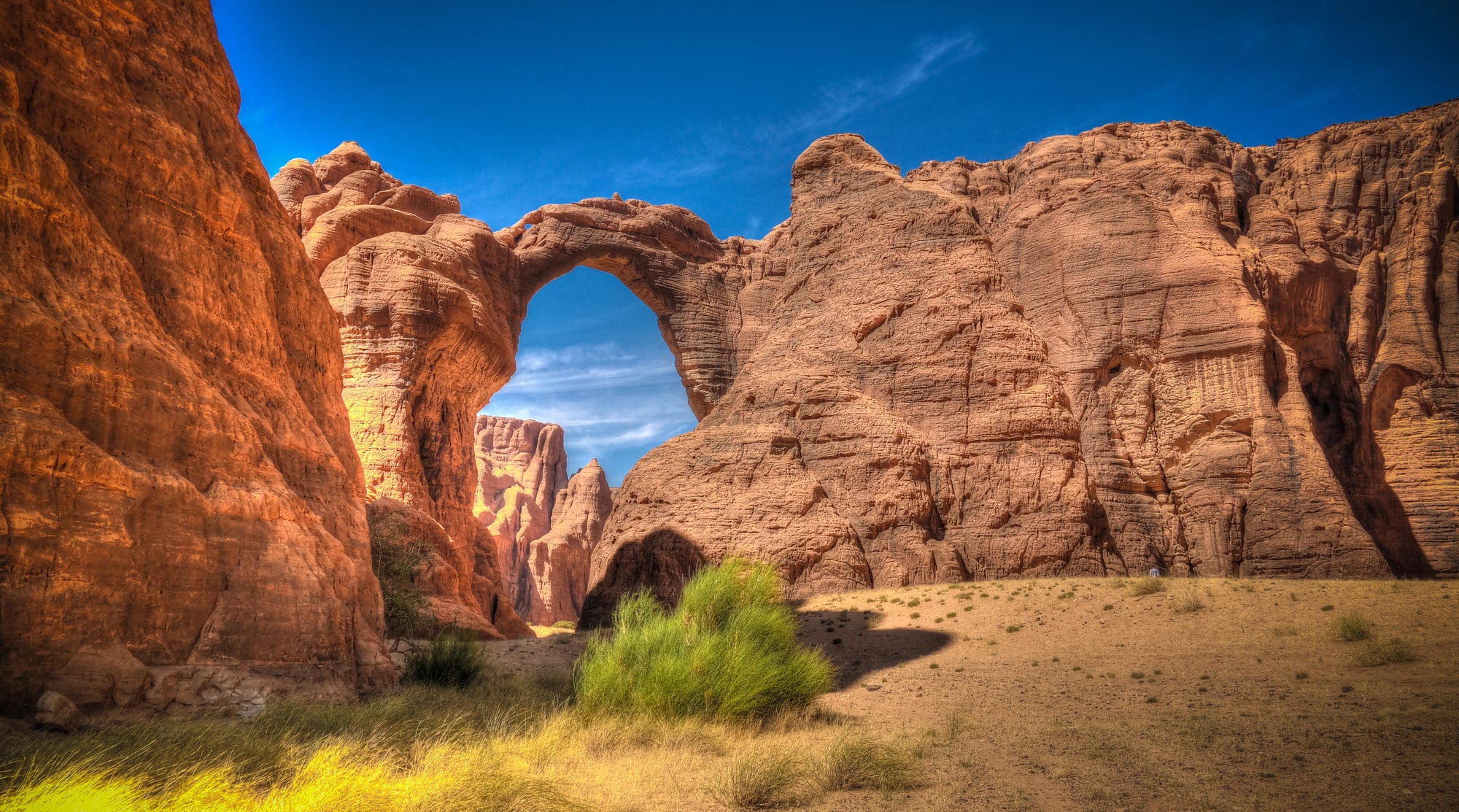
Chad maintains 6 land borders in the center of Africa, touching countries from different regions and climate zones. This landlocked nation connects the Sahara Desert with tropical Central Africa, creating a natural meeting point between Arab and sub-Saharan cultures.
Chad’s borders were largely drawn during the colonial period, but they reflect real geographical transitions between different African ecosystems and societies.
Like Go2Tutors’s content? Follow us on MSN.
Where Borders Shape Nations
The opportunities and difficulties faced by nations with the greatest number of land borders influence their entire national identity. These border-rich countries must manage complicated relationships with many neighbors who may not always get along, but they also frequently become natural hubs for regional trade, cultural exchange, and diplomatic activity.
Geography continues to influence international relations in ways that medieval mapmakers could never have predicted, from Germany’s pivotal role in European politics to China’s enormous influence throughout Asia. Remember that those seemingly straightforward lines on a world map symbolize thousands of years of human migration, compromise, and negotiation the next time you view one.
More from Go2Tutors!

- 16 Historical Figures Who Were Nothing Like You Think
- 12 Things Sold in the 80s That Are Now Illegal
- 15 VHS Tapes That Could Be Worth Thousands
- 17 Historical “What Ifs” That Would Have Changed Everything
- 18 TV Shows That Vanished Without a Finale
Like Go2Tutors’s content? Follow us on MSN.