13 Places That Changed Borders Mid-War
Border changes typically happen after conflicts end, through peace treaties and diplomatic negotiations. However, history has witnessed some remarkable instances where territories changed hands right in the middle of ongoing wars.
These mid-conflict border alterations often created complex situations for local populations and military forces alike. Here is a list of 13 places where borders shifted while war still raged around them, showing how geography and politics can transform even as armies continue to clash.
Alsace-Lorraine
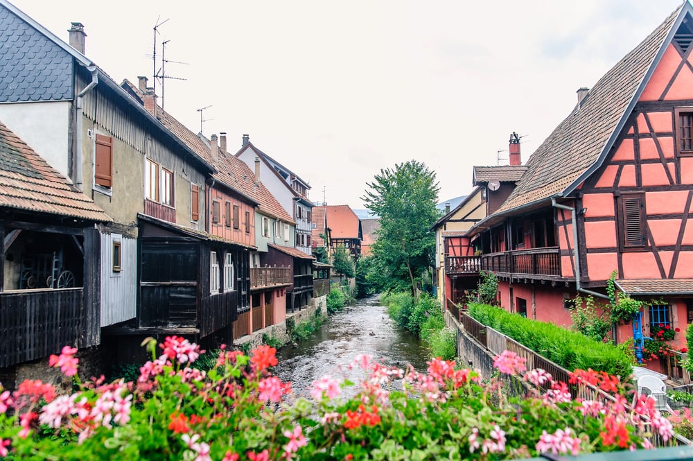
The Franco-Prussian War of 1870-1871 saw this contested region change hands before the conflict had even concluded. After the French defeat at the Battle of Sedan and the capture of Emperor Napoleon III, Germany annexed Alsace-Lorraine while French resistance continued elsewhere.
The territory remained under German control for nearly five decades until being returned to France after World War I through the Treaty of Versailles.
Poland
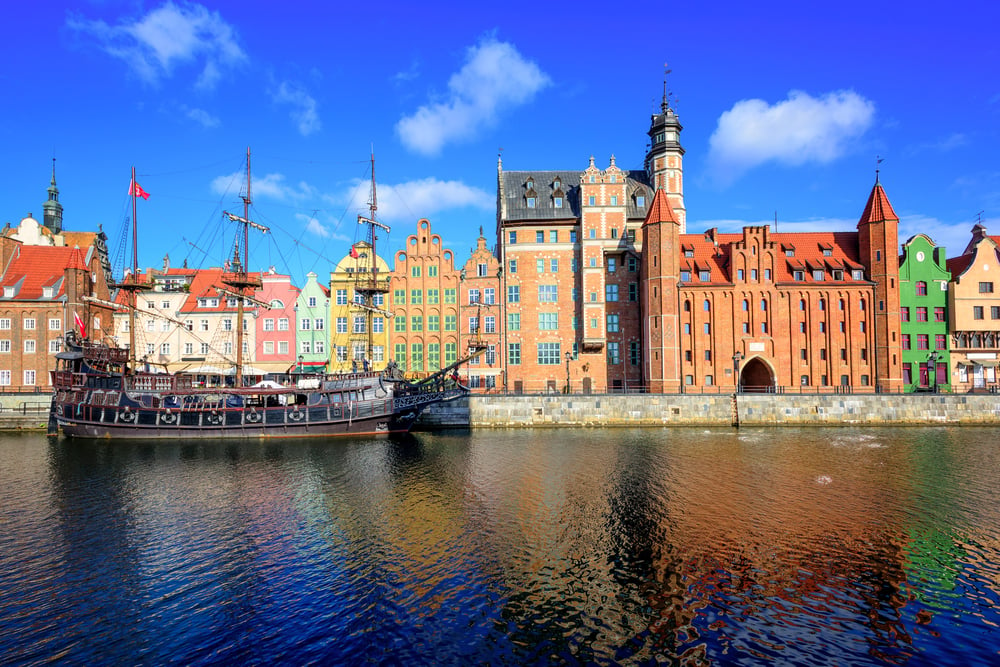
Poland saw some of the most significant border shifts during World War II while hostilities were still going on. Despite Polish soldiers’ ongoing opposition to Nazi Germany, the Soviet Union annexed eastern Polish territory in 1939 after the Molotov-Ribbentrop Pact.
While the war was still raging throughout Europe, the Allies later agreed to give Poland the former German lands by moving its borders westward as restitution at the Tehran Conference in 1943.
Korean Peninsula
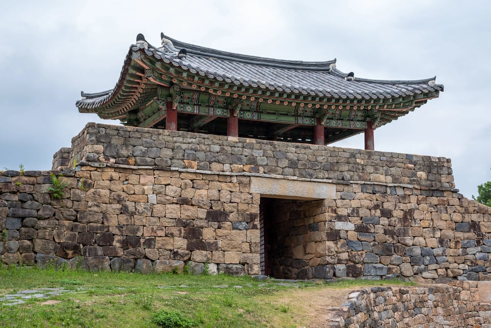
During the Pacific Theater of World War II, Korea was divided along the 38th parallel. By the time Japan surrendered in August 1945, Soviet forces had already taken control of the northern half of the peninsula, while American forces swiftly advanced into the southern half.
Even before the Korean War formally started, this interim split grew more permanent, resulting in two distinct governments while the main combat was still going on..
Taiwan
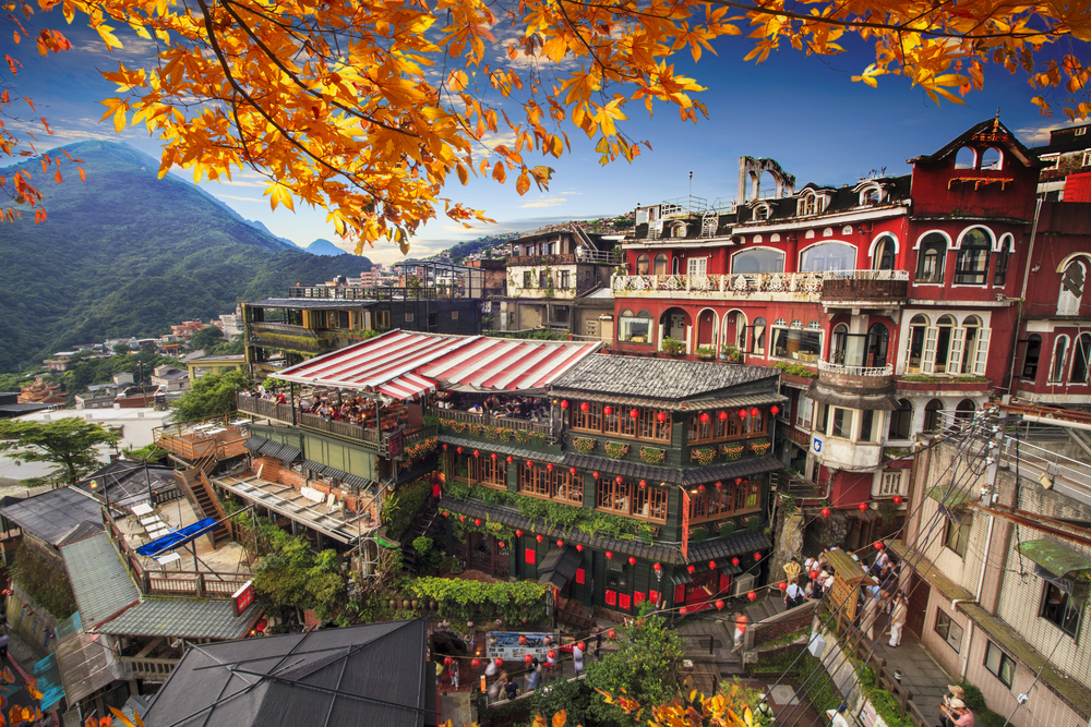
While combat was still going on on the mainland during the Chinese Civil War, the Nationalist administration withdrew to Taiwan in 1949. With both the mainland People’s Republic and the island-based Republic of China asserting legitimacy, this successful border shift gave rise to what became known as the “Two Chinas” situation.
As warfare between Communist and Nationalist troops raged until the early 1950s, the boundary was changed in the middle of the conflict.
East Prussia
This German territory became isolated from the rest of Germany during World War II when Soviet forces broke through and reached the Baltic Sea in 1945. While fighting continued throughout Europe, East Prussia was effectively cut off and divided between Poland and the Soviet Union, with thousands of Germans fleeing westward.
This border change occurred months before Germany’s official surrender, creating a dramatic shift in the regional map while war still raged.
Karelia
The Winter War between Finland and the Soviet Union saw Finnish Karelia change hands mid-conflict. Although Finnish forces fought valiantly, the Soviets annexed large portions of Karelian territory in March 1940 through the Moscow Peace Treaty, even as tensions remained high and would soon lead to continued conflict during the Continuation War.
The border change displaced over 400,000 Finns who had to evacuate their homes while military operations were still ongoing in nearby areas.
Kars and Ardahan
During World War I, these territories along what is now the Turkey-Armenia border changed hands multiple times. Russian forces captured the regions in 1916, but following the Russian Revolution and the Treaty of Brest-Litovsk in 1918, Turkey retook control while fighting continued elsewhere in the collapsing Ottoman Empire.
The local population endured multiple forced migrations as the border shifted back and forth during active warfare.
Trieste
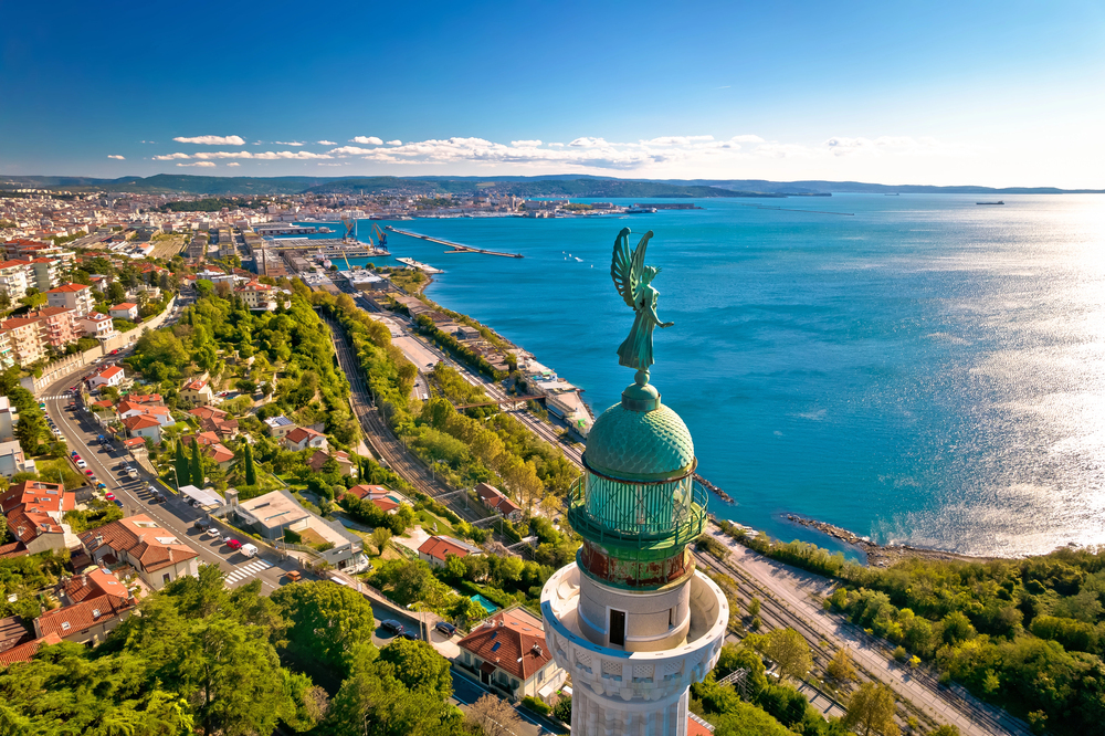
This strategic port city became a contested territory during World War II, changing hands multiple times. After Italy’s surrender in 1943, German forces occupied the city while Allied forces were still fighting their way up the Italian peninsula.
By 1945, Yugoslav partisan forces took control of Trieste before British and American troops arrived, creating a disputed border situation that remained unresolved for years after the war ended.
Sudetenland
The Munich Agreement of 1938 transferred this Czechoslovakian territory to Nazi Germany while Europe was already in a state of undeclared war. Although full-scale fighting had not yet erupted, military mobilizations and border skirmishes were underway across the continent.
The Sudetenland border change occurred in this tense environment when war seemed inevitable and limited conflicts were already happening, making it a mid-crisis border alteration.
Manchuria
During the Second Sino-Japanese War, Japan established the puppet state of Manchukuo in 1932, effectively changing the borders of northeastern China while fighting continued throughout the country. This border change happened years before World War II officially began, but during active conflict between Chinese and Japanese forces.
The manufactured border lasted until 194,5 when Soviet forces invaded as part of the final operations against Japan.
Kashmir
The Indo-Pakistani War of 1947-1948 saw borders shift while fighting was still ongoing. The conflict began immediately after partition, with the ceasefire line established in January 1949 becoming the de facto border known as the Line of Control.
This border crystallized while military operations were still active, with troops on both sides establishing positions that would define the territorial limits for decades to come.
Libya-Chad Border
The Toyota War between Libya and Chad in the 1980s resulted in mid-conflict border changes in the Aouzou Strip. Libyan forces had occupied this northern Chadian territory since 1973, but Chadian forces recaptured it in 1987 while the conflict was still ongoing.
The border reverted to its original demarcation even as fighting continued in other areas, creating a situation where troops had to adjust to new territorial realities during active operations.
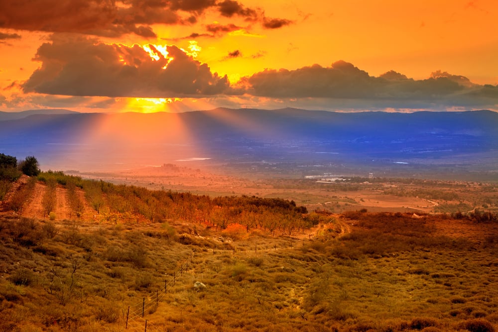
Golan Heights
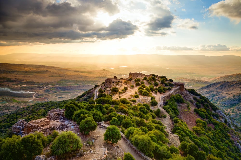
During the 1967 Six-Day War, Israel captured the Golan Heights from Syria in the final days of the conflict. The territorial change occurred while fighting was still happening on other fronts, with Israel continuing operations against Egypt and Jordan.
This swift border change has had lasting consequences, as Israel formally annexed the territory in 1981, creating a new de facto border that remains contested to the present day.
Shifting Sands of Conflict
These territorial transformations remind us that borders are far more fluid than the solid lines on our maps suggest. When territories change hands during active conflicts, the consequences ripple through communities for generations.
The people caught in these mid-war border shifts often face impossible choices: flee their homes, accept new governance, or resist changes imposed through force. Today’s seemingly permanent borders might yet prove temporary in the face of future conflicts.
The historical examples above serve as powerful reminders that geography and political control can change dramatically even before the dust of war has settled.
More from Go2Tutors!

- The Romanov Crown Jewels and Their Tragic Fate
- 13 Historical Mysteries That Science Still Can’t Solve
- Famous Hoaxes That Fooled the World for Years
- 15 Child Stars with Tragic Adult Lives
- 16 Famous Jewelry Pieces in History
Like Go2Tutors’s content? Follow us on MSN.