Lost Islands Rumored in Old Maritime Tales
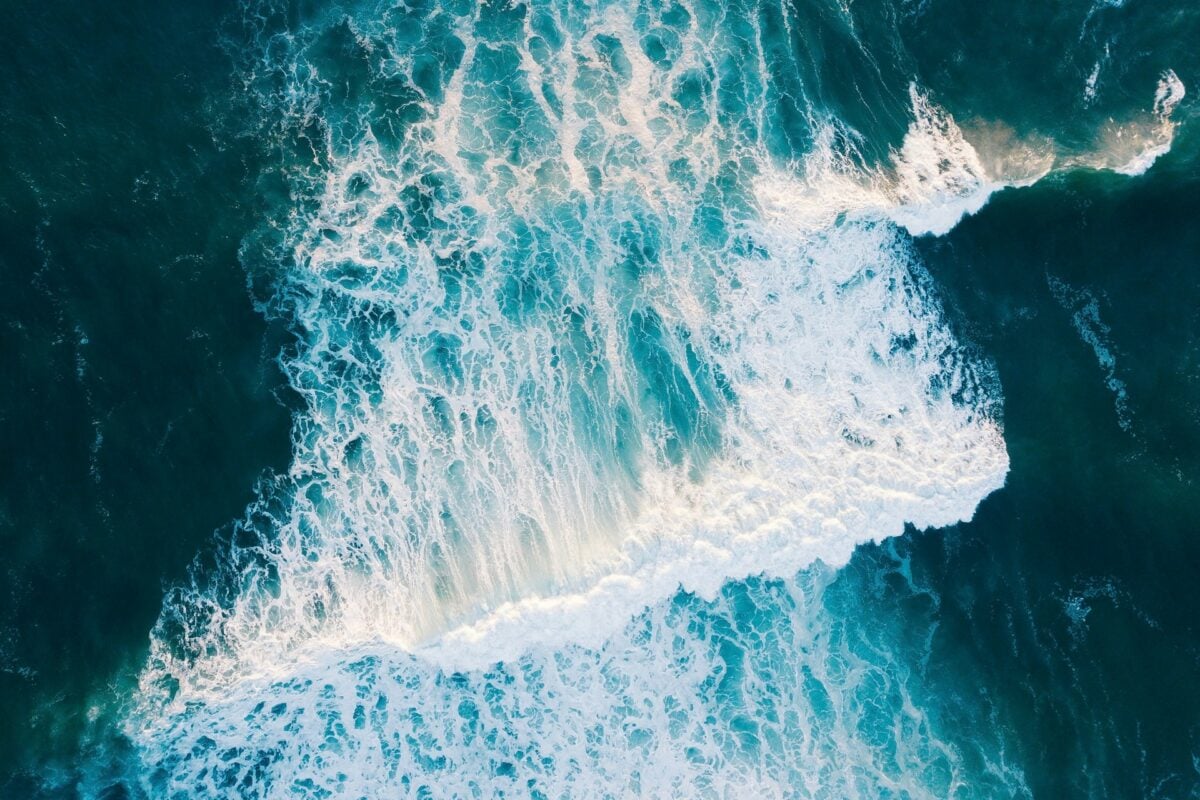
Stories of wonder and mystery have always been told by sailors, and the open sea has always served as their stage. For centuries, when navigators returned from lengthy journeys, they told stories of shores that seemed to disappear as soon as they appeared, islands that didn’t show up on charts, and lands that were full of danger or riches.
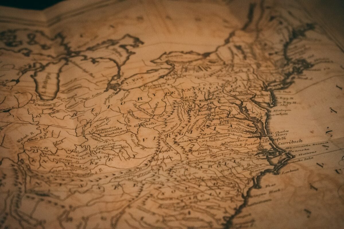
Cartographers who relied on the word of captains and crews meticulously noted the locations of some of these islands before they were included on official maps. Others were still passed down among sailors in port taverns as whispered legends.
Not only are these lost islands mysterious, but they also captured the aspirations and anxieties of the era of exploration, which is what makes them so alluring. Mariners longed to believe in fertile lands and safe harbors just waiting to be found.
These fifteen islands, some based on misidentifications, some on pure imagination, and some that may have actually existed, are the subject of maritime legends.
Hy-Brasil

West of Ireland, sailors claimed to see an island shrouded in mist, appearing only once every seven years. Hy-Brasil first appeared on a 1325 portolan chart, though its depiction varied considerably over the centuries before the circular shape with a river running through the middle became standard.
Expeditions set sail specifically to find it, and some captains even claimed to have landed there, describing stone walls and mysterious inhabitants. The island’s name might derive from the Irish word for ‘fortunate’ or ‘blessed,’ and it became intertwined with Celtic mythology about enchanted lands across the western sea.
Mapmakers finally removed Hy-Brasil in the 1800s, though some believe it was actually Porcupine Bank, a shallow area west of Ireland that might have been exposed during lower sea levels thousands of years ago.
Antillia
Medieval maps showed Antillia as a large rectangular island somewhere in the Atlantic. Later retellings connected it to a legend about seven Portuguese bishops fleeing the Moorish invasion of Iberia in the 8th century, each supposedly founding a city on the island where Christian communities prospered in isolation.
The island’s name gave rise to the term ‘Antilles’ for the Caribbean islands. Portuguese sailors searched for it extensively during the 15th century, convinced that such a substantial Christian colony must exist.
Some historians think the legend originated from garbled accounts of the Canary Islands or Azores before their official rediscovery. Others believe it was pure fiction, a hopeful tale of refuge that reflected Christian desires to escape Islamic rule.
Like Go2Tutors’s content? Follow us on MSN.
St. Brendan’s Island

Irish hagiographic texts told of St. Brendan the Navigator who, in the 6th century, undertook a spiritual voyage westward, encountering various wonders. These allegorical tales became literalized over centuries, and for over a thousand years an island bearing his name appeared on maps of the Atlantic, usually placed near the Canary Islands.
Spanish expeditions launched in the 15th and 16th centuries to find it, though no confirmed sightings resulted. The island was said to be covered in lush vegetation and inhabited by giant sheep.
Some reported sightings might have been mirages caused by atmospheric conditions that made distant mountains appear to float on the ocean. The legend persisted so strongly that the Canary Islands government didn’t officially remove it from maps until 1759.
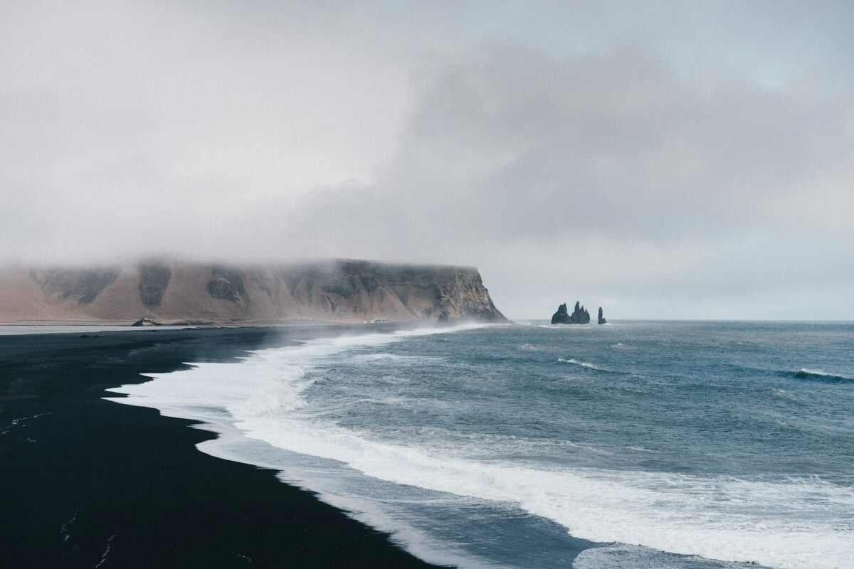
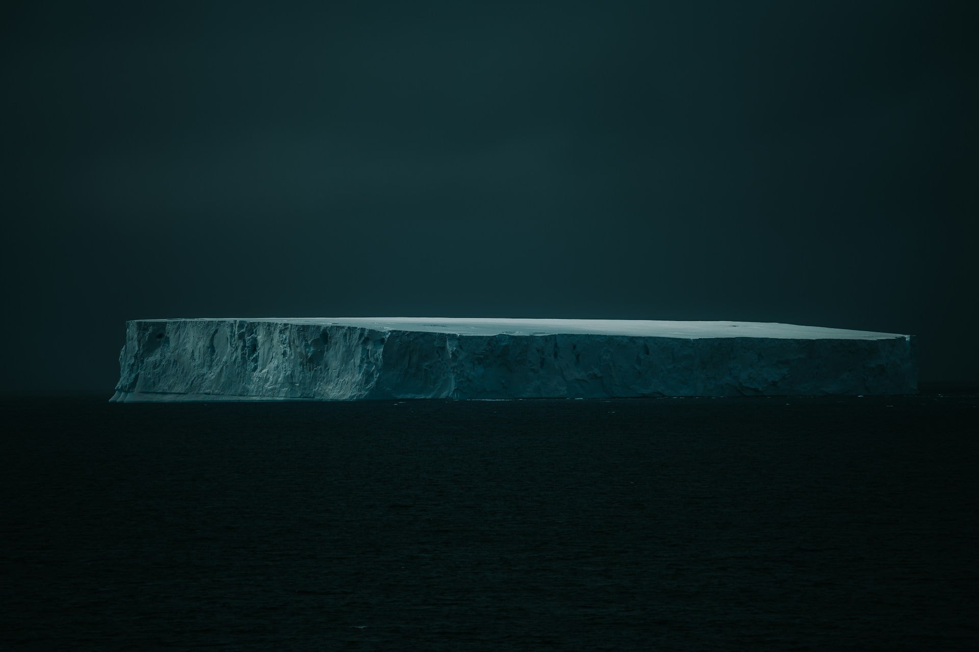
Frisland

This phantom island appeared on maps starting in the 1560s, supposedly located south of Iceland in the North Atlantic. The Zeno brothers of Venice claimed their ancestors had visited Frisland in the 1390s, providing detailed descriptions and even a map.
Cartographers dutifully copied it onto their charts for over 200 years. The island was described as having a thriving population and a prince who commanded a fleet of ships.
The Zeno account is now widely regarded as a forgery, possibly created to boost Venetian claims to northern exploration. Some scholars believe elements might have drawn from distorted knowledge of the Faroe Islands or other genuine locations, but the overall narrative appears fabricated rather than simply mistranslated.
Bermeja
Unlike most phantom islands, Bermeja had modern political implications. Spanish maps from the 16th century onward showed this island in the Gulf of Mexico, north of the Yucatan Peninsula.
Its existence mattered because it would have extended Mexico’s exclusive economic zone and its claims to offshore oil deposits. Mexican government expeditions in 1997 and 2009 found nothing where the island should have been.
Fringe conspiracy theories circulated, with some claiming the CIA had destroyed the island to benefit American oil interests, though no credible evidence supports such claims. More likely explanations involve cartographic errors, misidentified shoals, or even the complete invention of the island by early mapmakers filling empty spaces on their charts.
Like Go2Tutors’s content? Follow us on MSN.
Sandy Island

This ghost island appeared on marine charts near New Caledonia in the Pacific until 2012, when an Australian research ship sailed through its supposed location and found only open ocean. The phantom had existed on maps since at least 1876, with Google Maps sourcing it from a 1908 British Hydrographic chart before reproducing the error digitally.
It even showed up on weather maps. The island supposedly measured about nine miles long, substantial enough that its absence should have raised questions earlier.
When scientists finally investigated, they found ocean depths of about 4,600 feet where Sandy Island allegedly sat. The error likely originated from a 19th-century sighting of pumice rafts, floating masses of volcanic rock that can look like solid land from a distance.
Buss Island
English whalers reported discovering this island in 1578 between Iceland and Greenland, naming it after the type of ship they sailed. The captain claimed it was large, with good harbors and abundant wildlife.
The island appeared on navigation charts through the 17th century, including maps from the era of Hudson’s voyages, though Hudson himself didn’t mount a dedicated search for it. Several expeditions tried to relocate it through the 1600s and 1700s.
Eventually, repeated failures to find Buss Island led cartographers to remove it by the early 1800s. The original sighting probably involved a combination of fog banks, icebergs, and wishful thinking.
Mariners desperately wanted to find stopping points in the harsh North Atlantic, which made them eager to believe in new discoveries.
Pepys Island

In 1683, Captain John Cowley aboard the ship Bachelor reported discovering an island in the South Atlantic, east of the Falklands. William Pepys, who was on board, gave his name to the island when it appeared on maritime charts.
British expeditions searched for it repeatedly through the 18th century as a potential waypoint for ships rounding Cape Horn. Some sailors claimed to have landed there, describing penguins and seals.
Admiral Lord Anson specifically hunted for Pepys Island during his circumnavigation in the 1740s but found nothing. Modern analysis suggests the sailors had actually spotted the Falkland Islands from an unusual angle and miscalculated their position.
Navigation was imprecise in that era, making such errors common.
Like Go2Tutors’s content? Follow us on MSN.
Satanazes
Medieval Atlantic charts featured this ominous island whose name meant ‘Island of Devils.’ It appeared on the same maps as Antillia, placed somewhere west of the Azores.
The island supposedly got its sinister name from dangerous reefs or from encounters with hostile inhabitants. Some versions of the legend described it as a place where demons dwelt or where ships vanished without trace.
Portuguese navigators during the age of exploration treated it as a real hazard, plotting courses to avoid the area where maps placed it. The island gradually disappeared from charts as Atlantic geography became better understood, though no one knows what inspired the original reports or why such a threatening name stuck.
Tuanaki

Polynesian oral traditions described an island near the Cook Islands that was home to a thriving community. Missionary John Williams made the last reliable mention of it around 1843.
After this period, people claiming to be from Tuanaki began appearing as refugees on neighboring islands, though accounts vary about what they reported regarding their homeland’s fate. Search parties found no trace of the island where it should have been.
Unlike many phantom islands, Tuanaki might have been real, a low coral atoll that was overwhelmed by a catastrophic tsunami or storm surge. The fragmentary nature of the evidence makes definitive conclusions impossible, but the convergence of oral tradition and refugee accounts suggests something more than pure fiction.
Dougherty Island
The whaling ship Francis Allyn reported discovering this Antarctic island in 1841, providing specific coordinates southwest of Cape Horn. Other ships continued claiming to spot it into the early 1900s, and it appeared on official charts throughout this period.
British and American expeditions in the early 20th century searched the area thoroughly with modern instruments and found nothing but deep ocean. The phantom persisted on some maps until the 1930s.
The original sighting probably involved a massive iceberg or ice island, which can look remarkably like rocky islands from a distance. In the harsh conditions near Antarctica, such misidentifications were understandable, especially before accurate positioning technology existed.
Like Go2Tutors’s content? Follow us on MSN.
Crocker Land

Arctic explorer Robert Peary claimed to have seen land northwest of Ellesmere Island in 1906, naming it Crocker Land after one of his sponsors. The supposed sighting led to a dedicated expedition from 1913 to 1917 led by Donald MacMillan to reach and map this new Arctic territory.
The explorers traveled across the ice for days toward where Crocker Land should have been, occasionally spotting what looked like mountains on the horizon. When they finally reached the coordinates, they found only open water.
The ‘land’ they had been seeing was a superior mirage, an atmospheric phenomenon common in polar regions where layers of different air temperatures bend light and make distant ice or clouds appear as solid terrain hovering above the horizon.
Echoes Across Empty Waters
These phantom islands weren’t merely honest mistakes or mapping errors. They stood for humanity’s unwavering hope that something amazing and novel would be discovered around the next cape and over the next wave.
Every false island that vanished from the charts signified both the loss of opportunity and advancements in geography and navigation. With each mystery resolved, the ocean lost its enchantment and became less unpredictable.
Modern satellites have mapped every square mile of ocean surface, leaving no room for new islands to hide. But the old stories live on, reminding us of a time when sailors could still believe in places that were just out of sight and the sea held secrets.
More from Go2Tutors!

- 16 Historical Figures Who Were Nothing Like You Think
- 12 Things Sold in the 80s That Are Now Illegal
- 15 VHS Tapes That Could Be Worth Thousands
- 17 Historical “What Ifs” That Would Have Changed Everything
- 18 TV Shows That Vanished Without a Finale
Like Go2Tutors’s content? Follow us on MSN.
Photo by / Unsplash